Well 6, Pierre Springs August 8 - 9 2024
 
  Sometimes previous route followers have found it necessary to make a track round some of the water, then cross it.

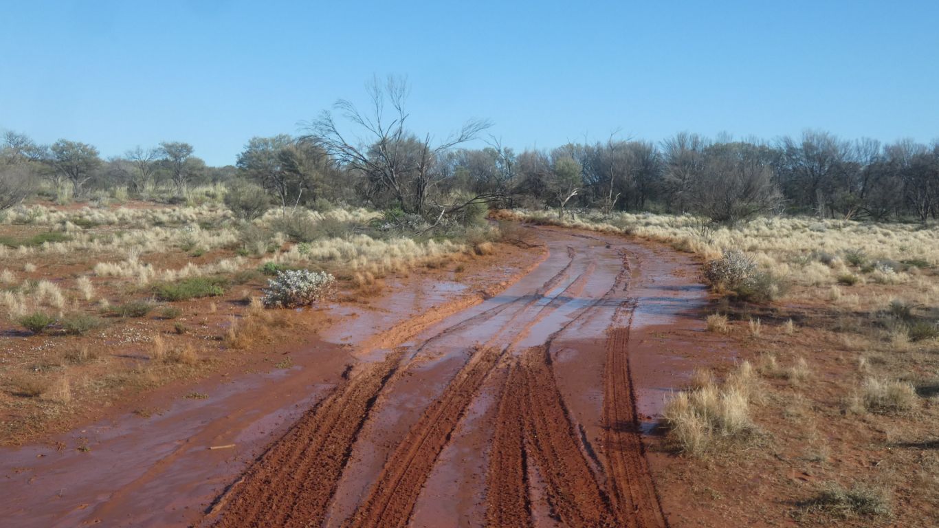
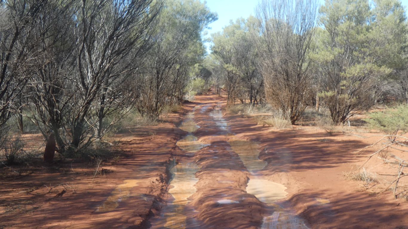
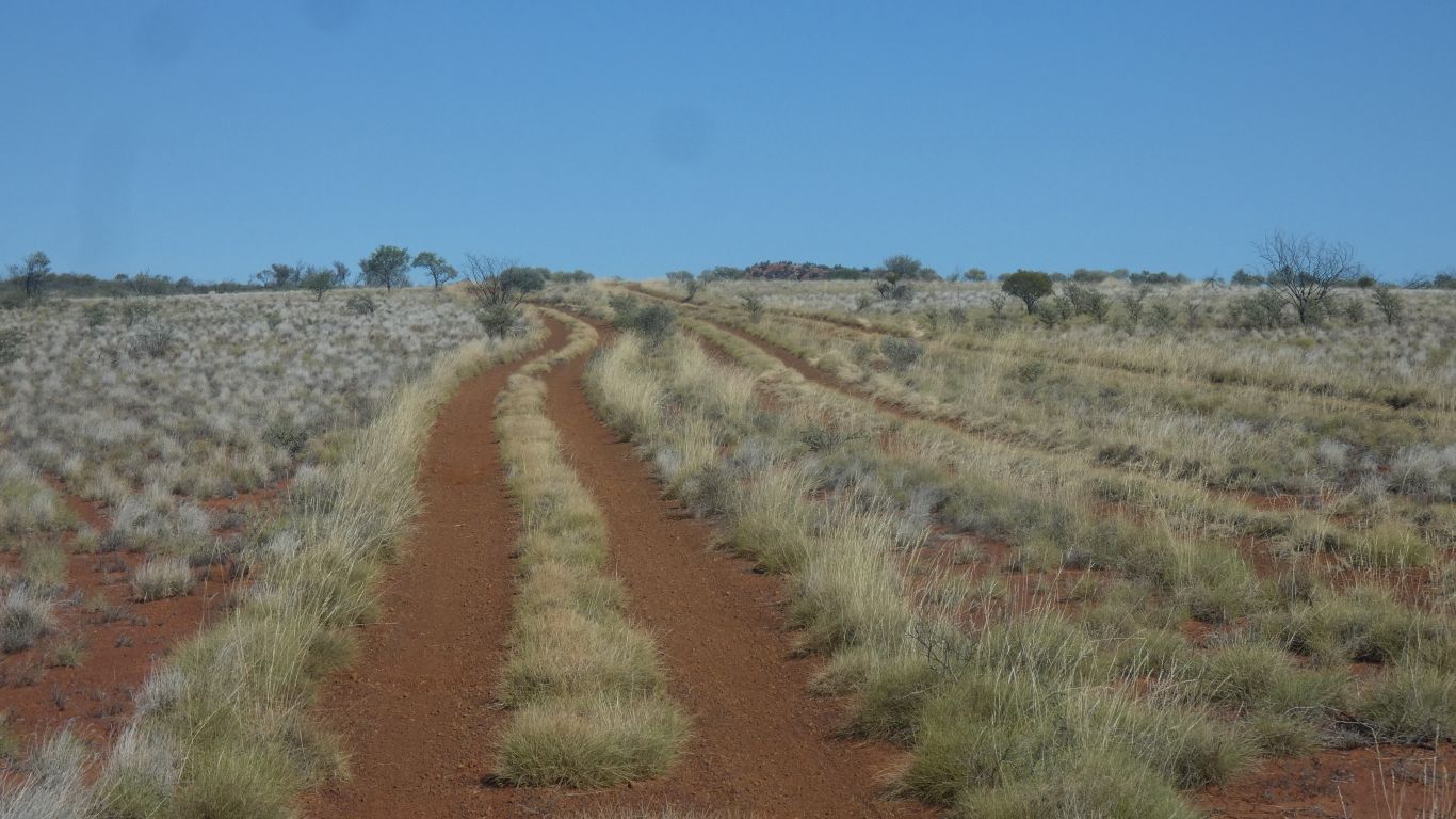
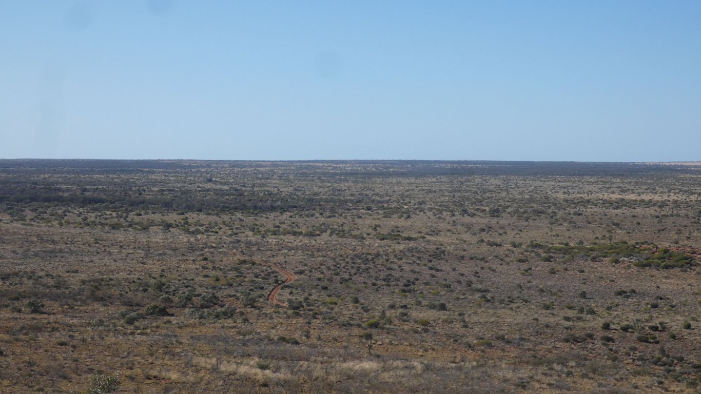
Driving across wheel ruts is a slow process!

     
  The new marks are not deep. But I guess over time ruts form.
     
  Sometimes the mulga gets a bit close.
     
  A sign for well 7.

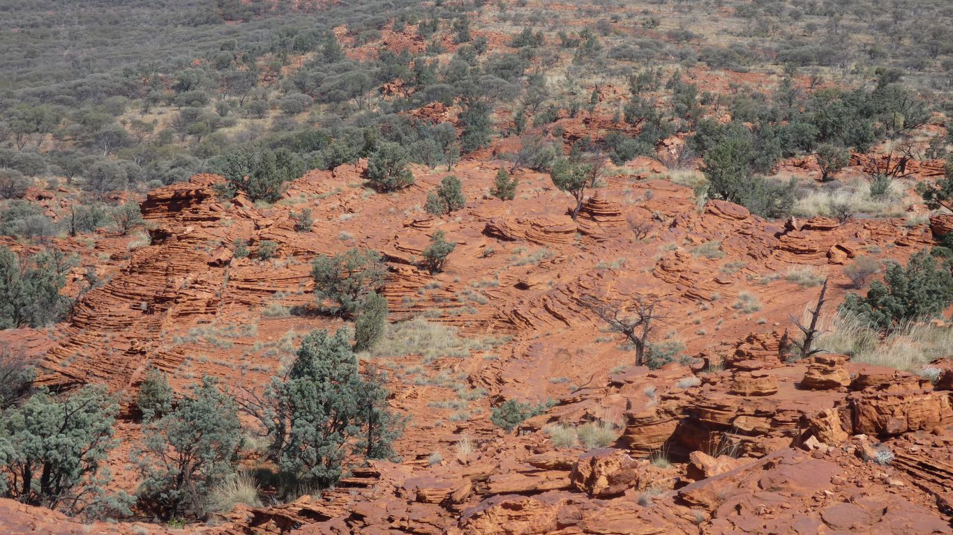
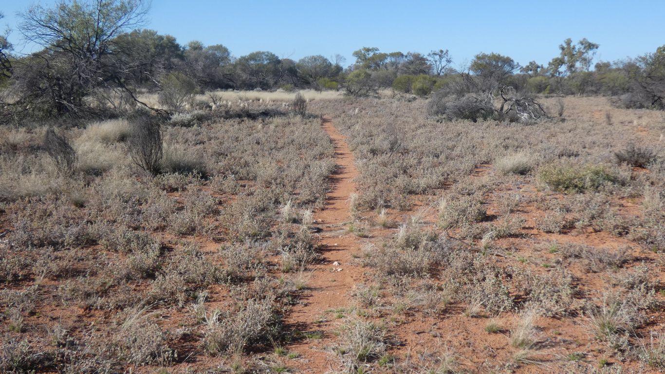
Not much vegetation on bare ground.

     
  The well ceased operation many years ago. But gives us an idea of construction.
     
  Surprise.

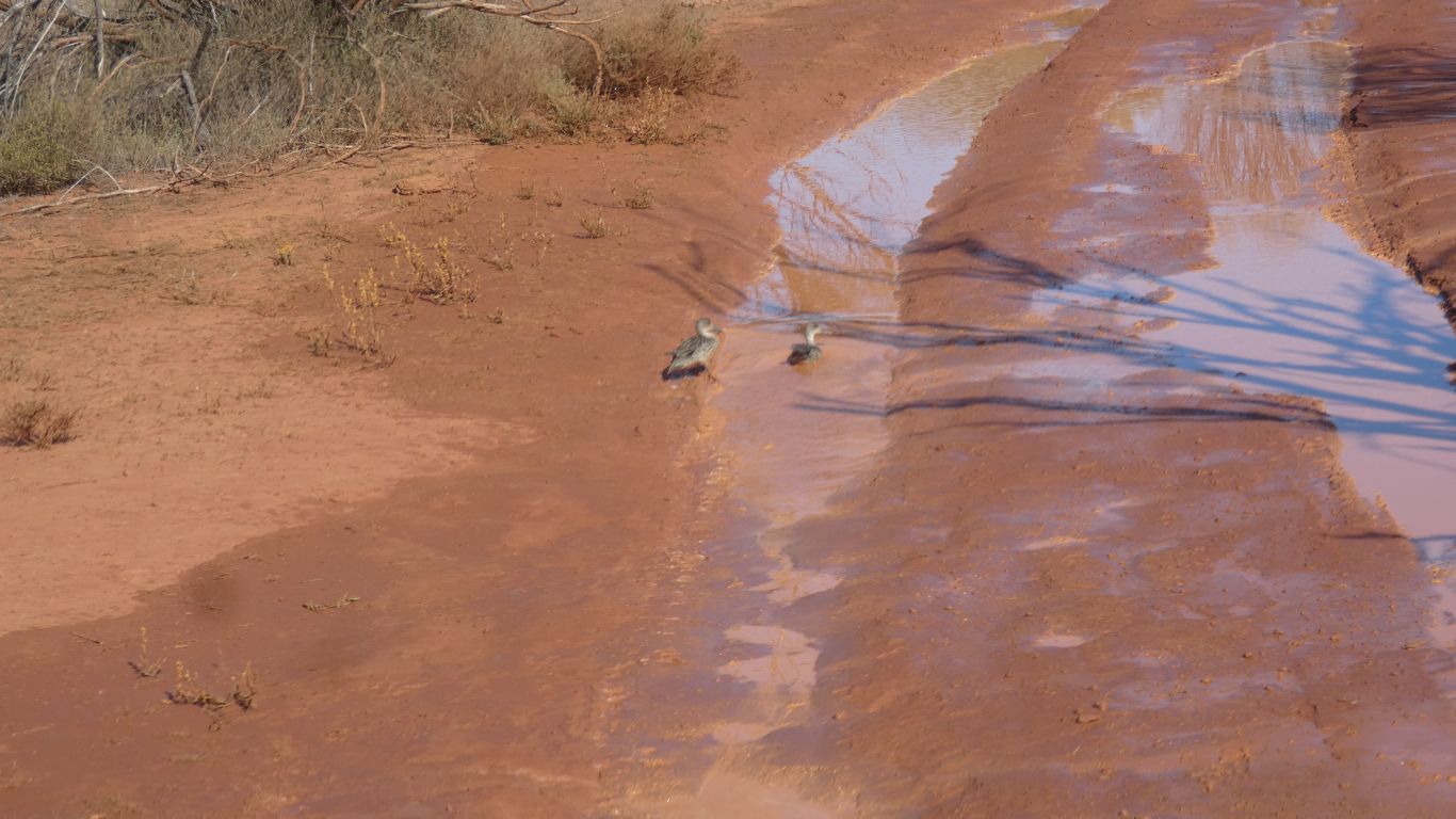
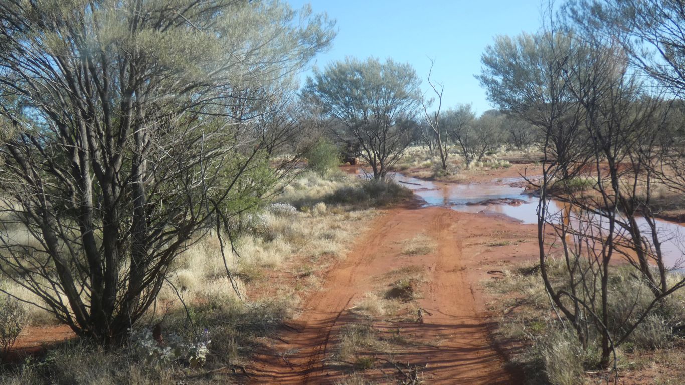
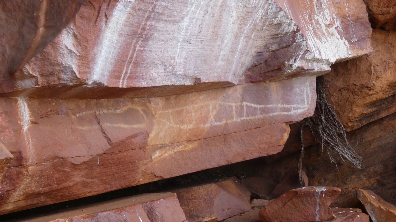
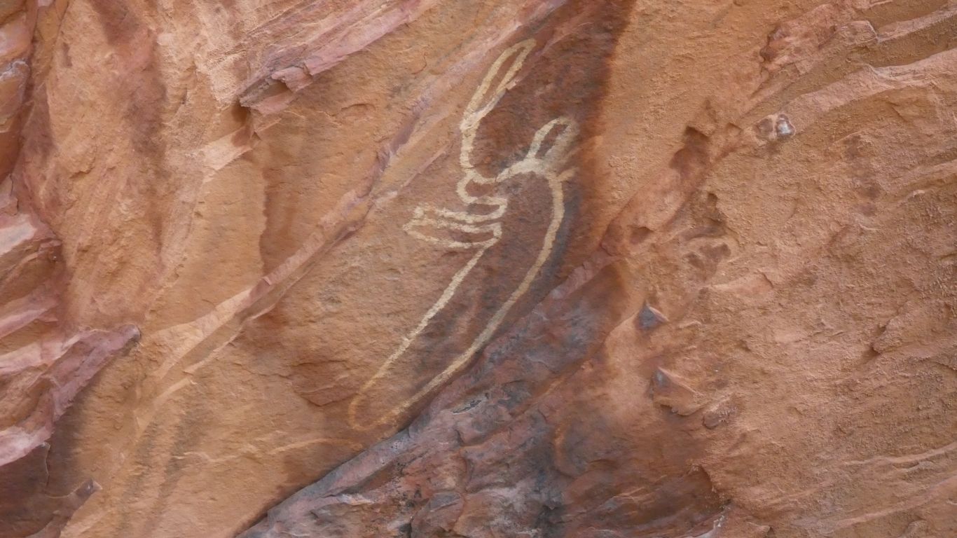
What are two ducks doing here ..... ?

     
  Sometimes we get to negotiate ruts and bumps and water all combined.

Slowly.

     
  We have left dunes. Flat plain. With occasional nobbly bits.
     
  The last time we saw tracks made like this was in Mongolia.

For much the same reason.

Someone eventually felt the corrugations had become intolerable.

     
  Ningebong Hills (sometimes spelled Inglebong, sometimes .....)

Named after Tommy Ningebong. Local stockman, and early Aboriginal leaseholder.

     
  There's a car park. And a walk.

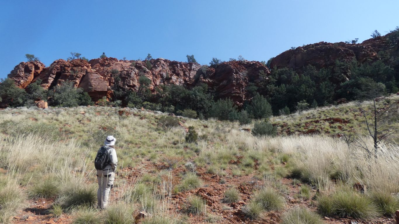
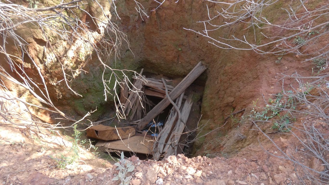
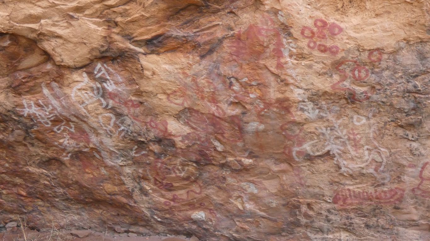
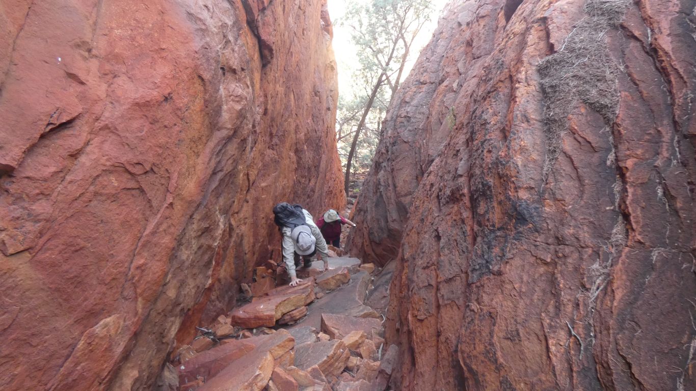
People in front of us directed us to a cave/overhang about central in the pic.

     
  Art.
     
  No legs?
     
  And far from water.
     
  Painted over many times.

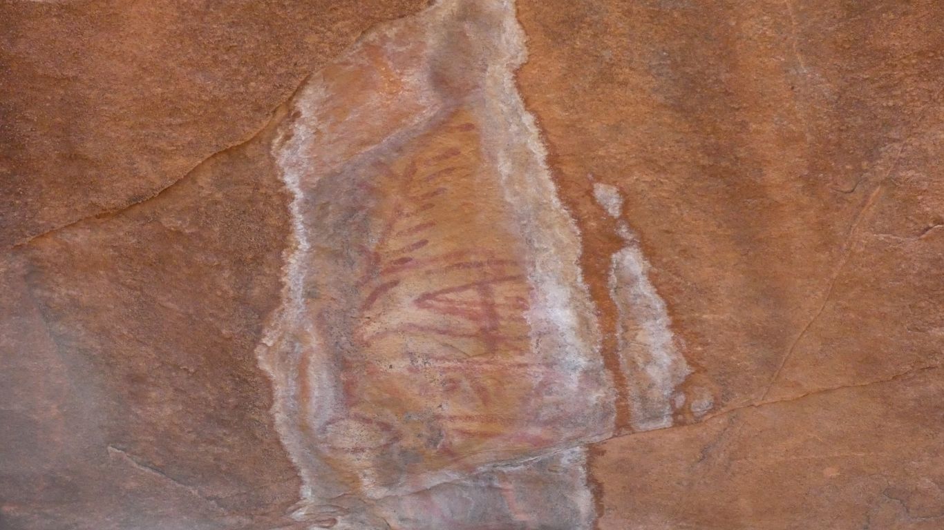
There's some damp ground in one end of the cave. I wonder if at some time in the past there was a spring.

     
  A gap in the rocks allows us to climb to the top of the hills.
     
  Interesting geology.

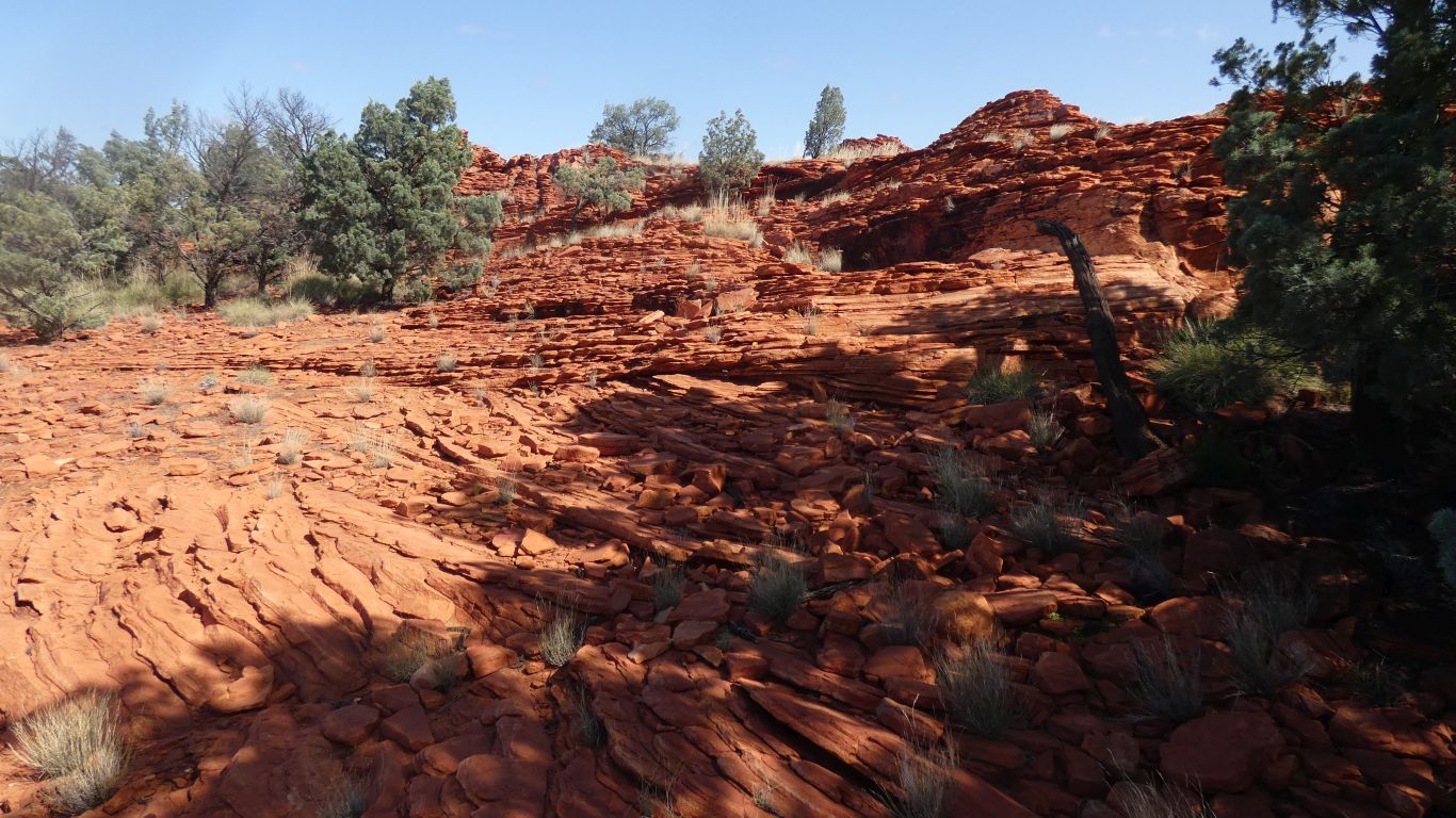
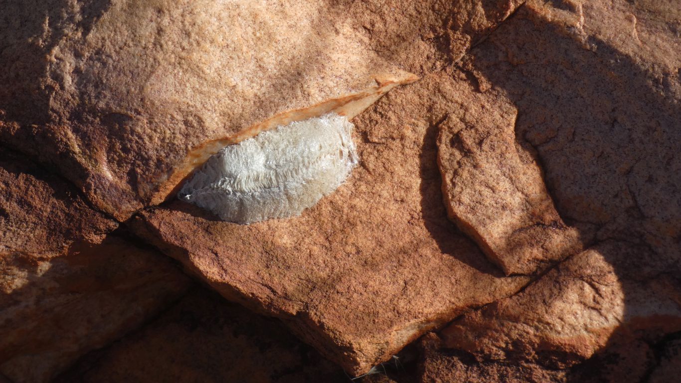
The first cross-bedding (layers at different angles) we've seen.

     
  It reminded Ali of looking down on the Hani Rice Terraces in China.
     
  Looking south east from the cairn (there's a cairn on everything) at the top.
     
  Mt Davis.
     
  The all conquering Ali.
     
  Pierre Springs, aka Well 6 or Milyinyiri.

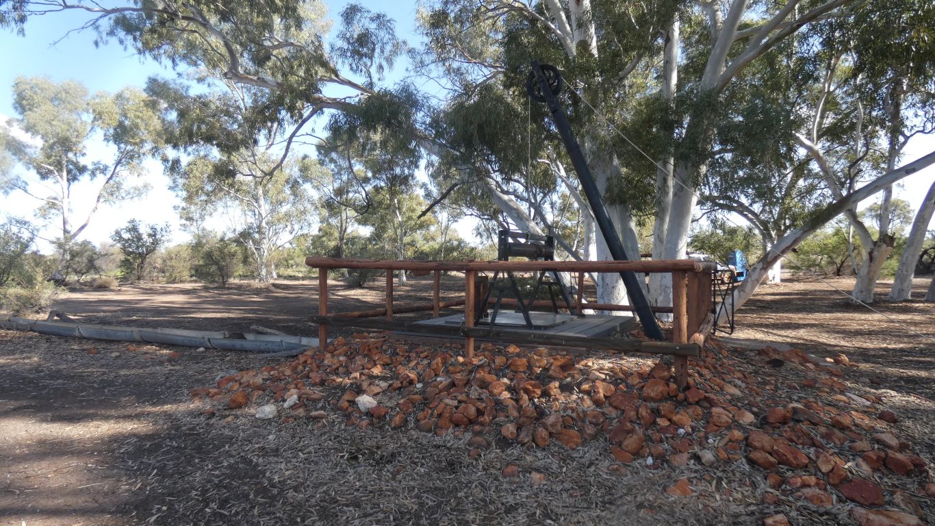
Good water, and rebuilt.

     
  We've been lucky.

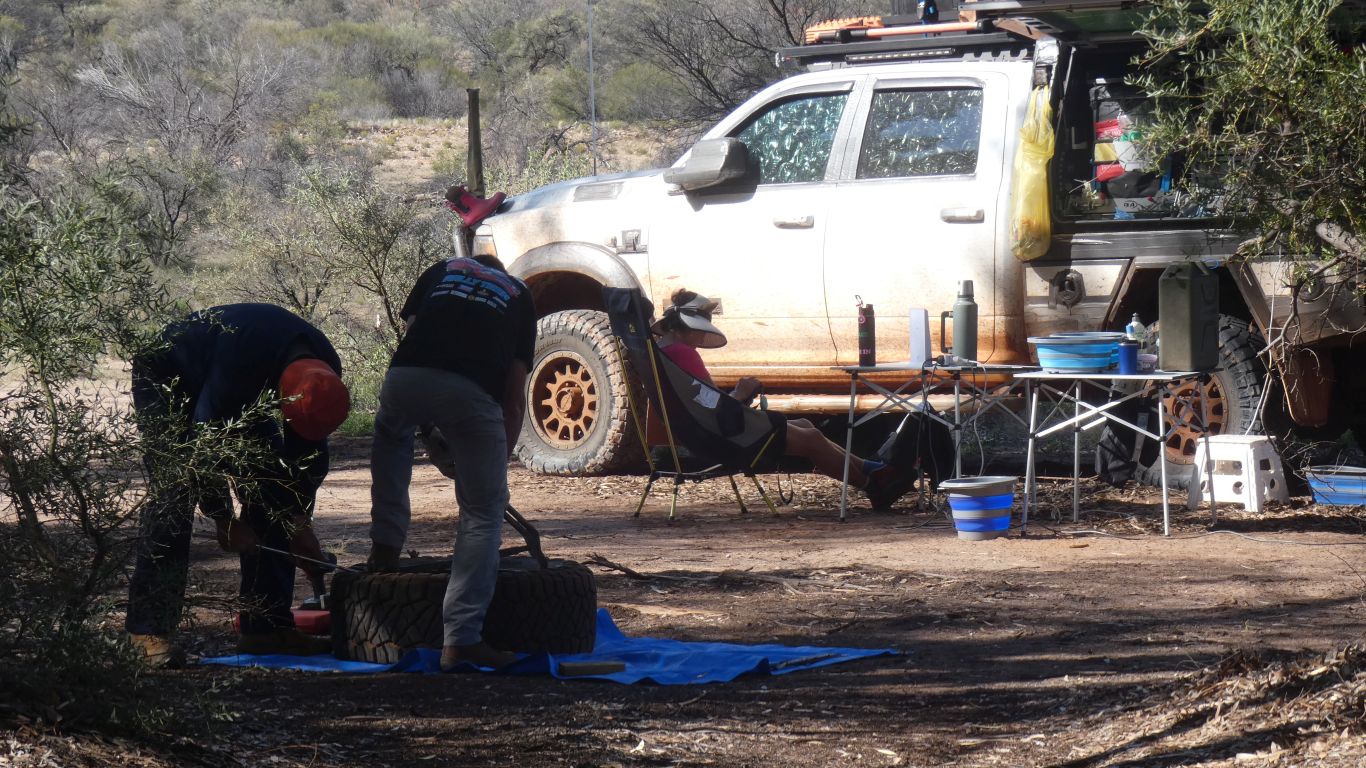
Not so everyone. A tyre repair in progress.

     
  The camping area under the trees was overflowing with vehicles. And people. We camped a couple of hundred meters along the dry creek bed.

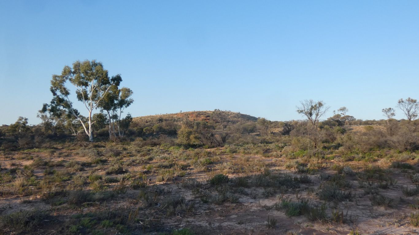
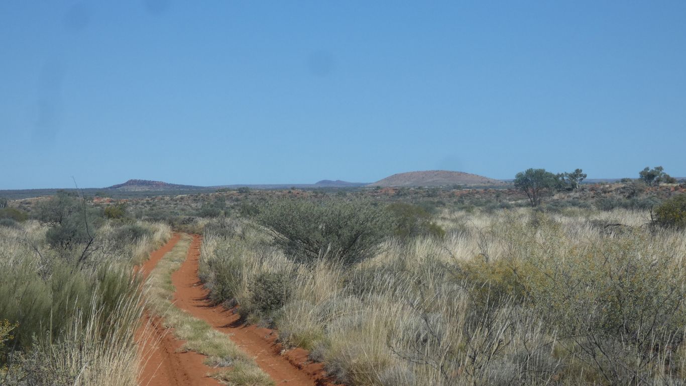
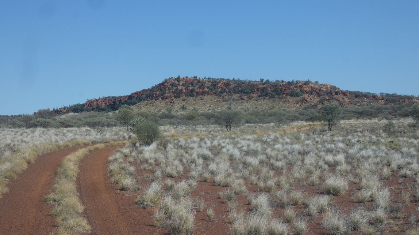
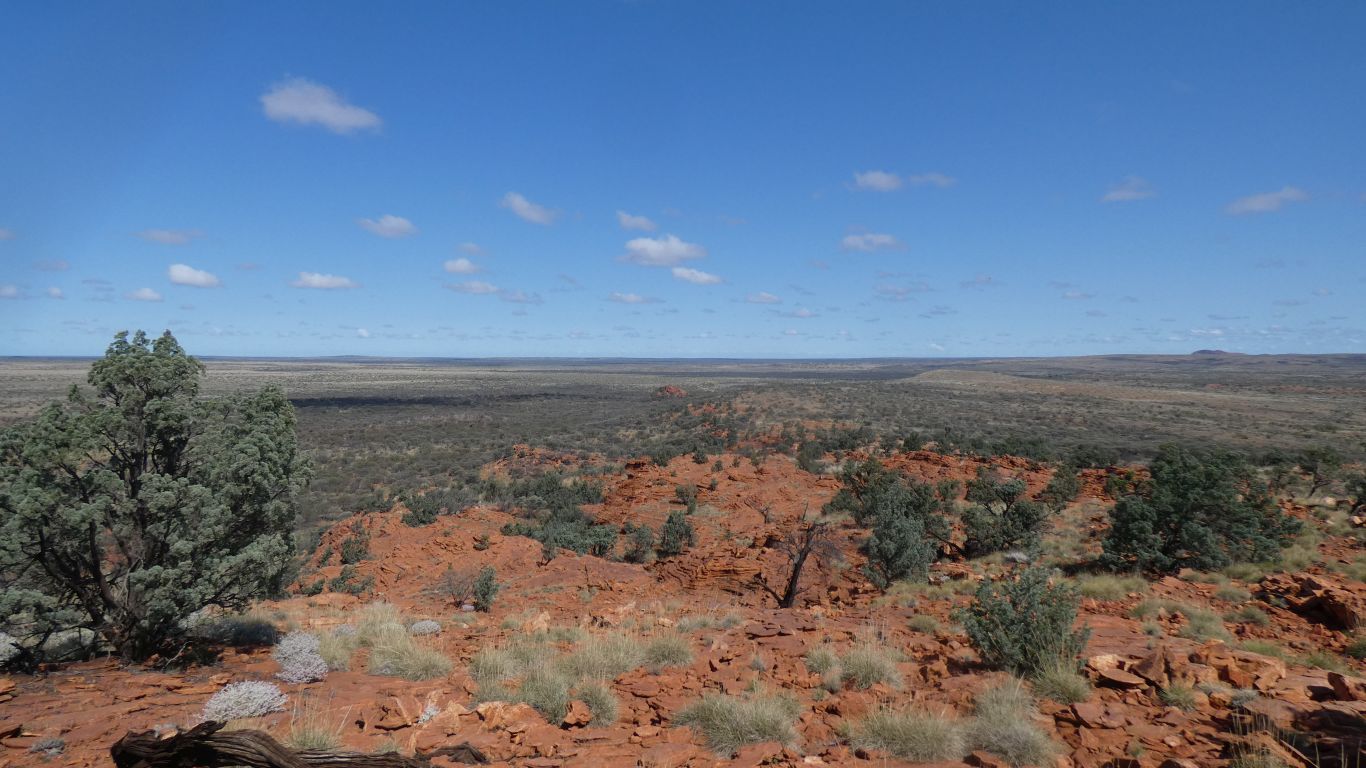
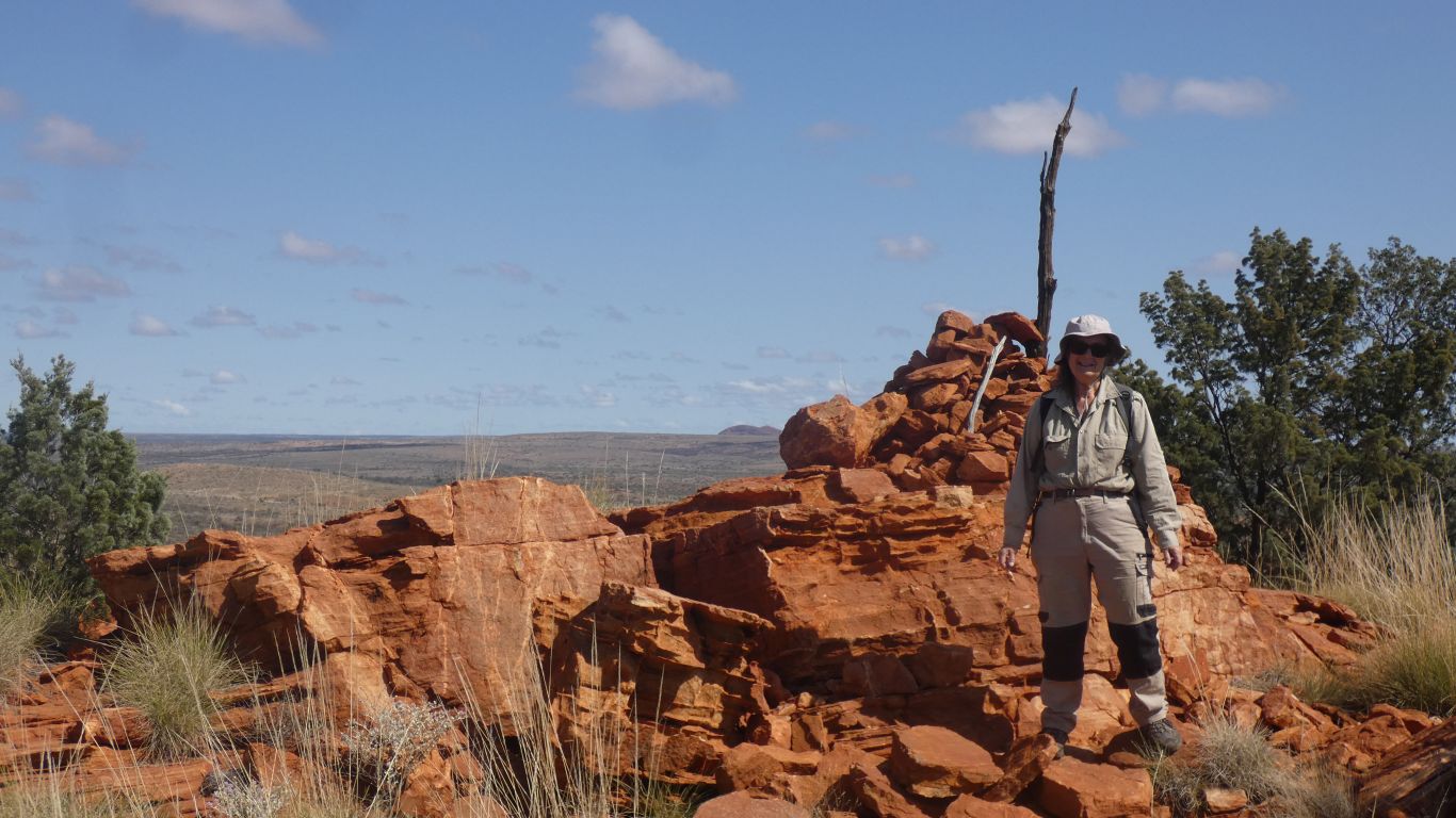
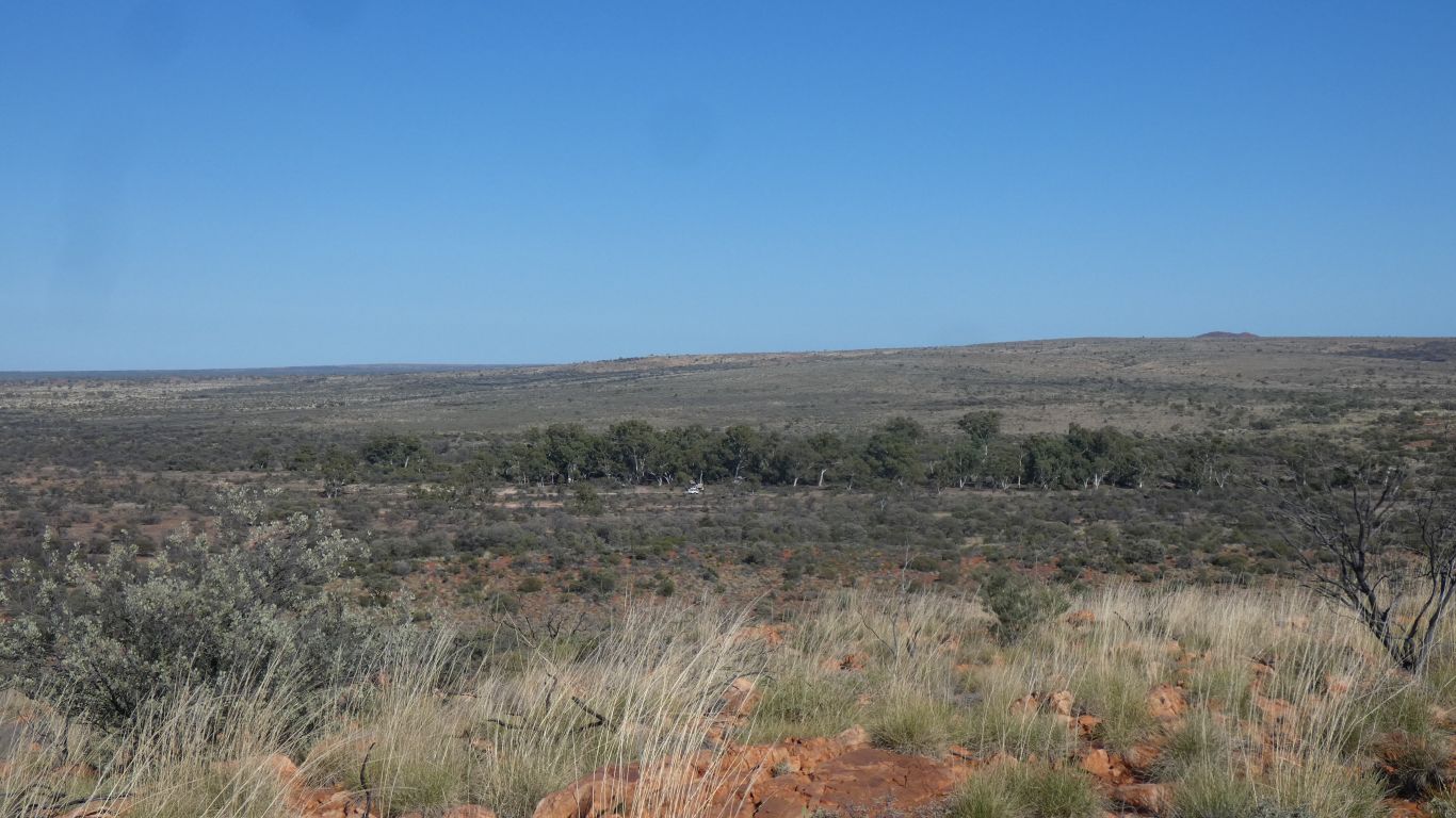
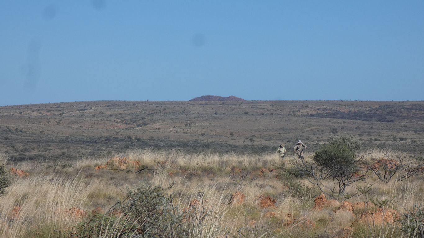
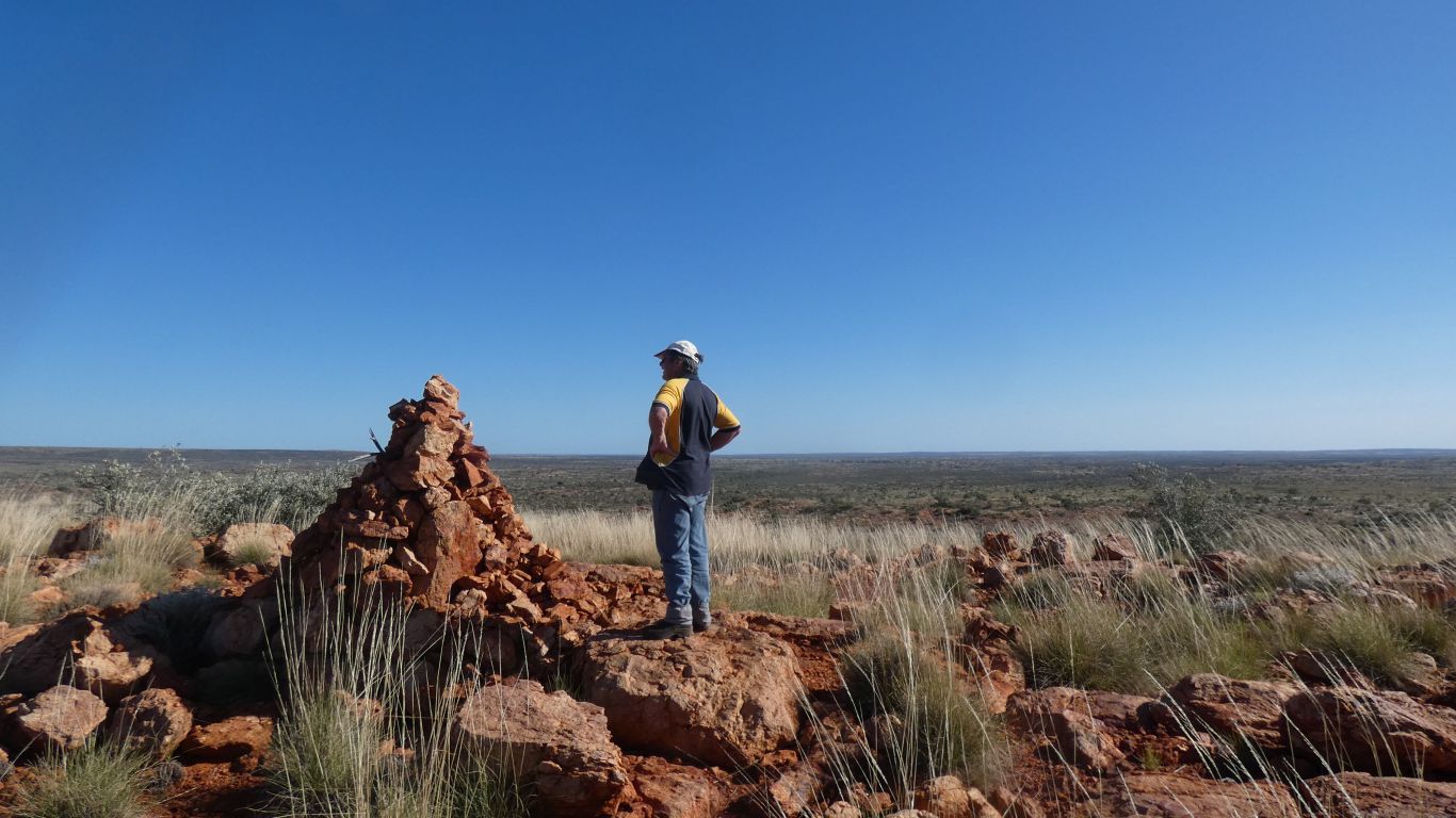
This hill looked enticing so we planned an assault for the following day.

     
  The last hundred meters of track to the well was whitish rather than reddish sand.

At some time, when water flowed in the creek, it perhaps had dissolved limestone. From the satellite view it looks like the creek bed narrows where the well is then widens to form a fan. Perhaps some water evaporated, depositing travetine. Which is calcium carbonate.


  We set off up the hill. Follow a cattle track to begin.
     
  Gaining sufficient height over rocks to look back at the line of trees marking the old creek bed. And the campsite. We are to the right.
     
  An intrepid duo reaching the flatter top.
     
  Looking north east. The stock route visible.
     
  There's a cairn at the top of everything (higher than a pimple).
     
  We know what this is. We just can't remember ....
     
  We descend to the stock route. About 30 or so small holes alongside the track. Wasps or bees busy digging.

They will be squashed when the next vehicle passes.

     
  Back at camp we spent a long time watching a black headed monitor.
     
  It crawled out of the vegetation while I was sitting outside watching the world go by.

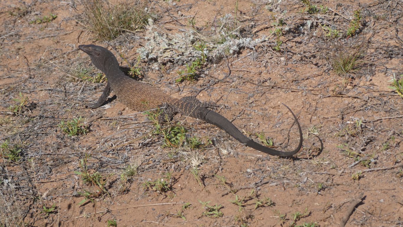
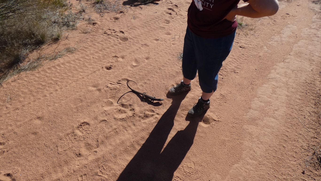
And ignored us almost completely.

Though Ali was a tad concerned it may mistake her for a tree ..
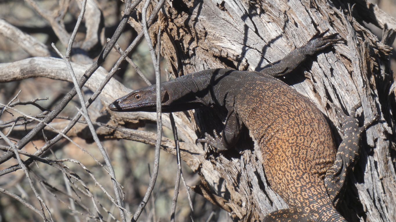
     
  It finally found a real tree.

And disappeared.

     
Windich Spring August 10 2024
     
Gateway
CommentsHome


Sorry, comments closed.