| |
|
|
| Fletcher Crossing and Yenny Spring |
 |
August 19 - 22 2024 |
| |
|
|
 |
|
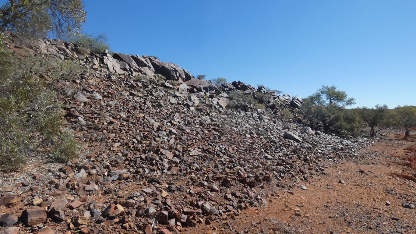
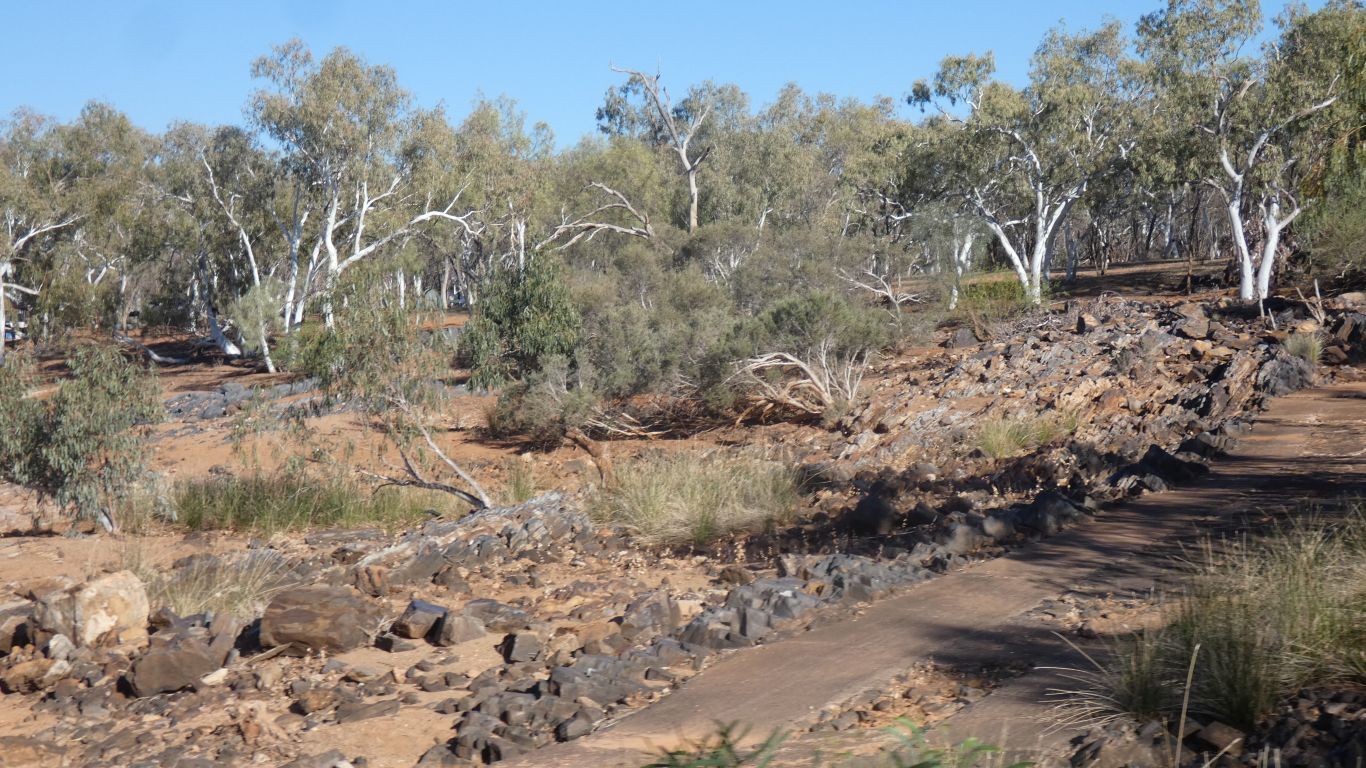
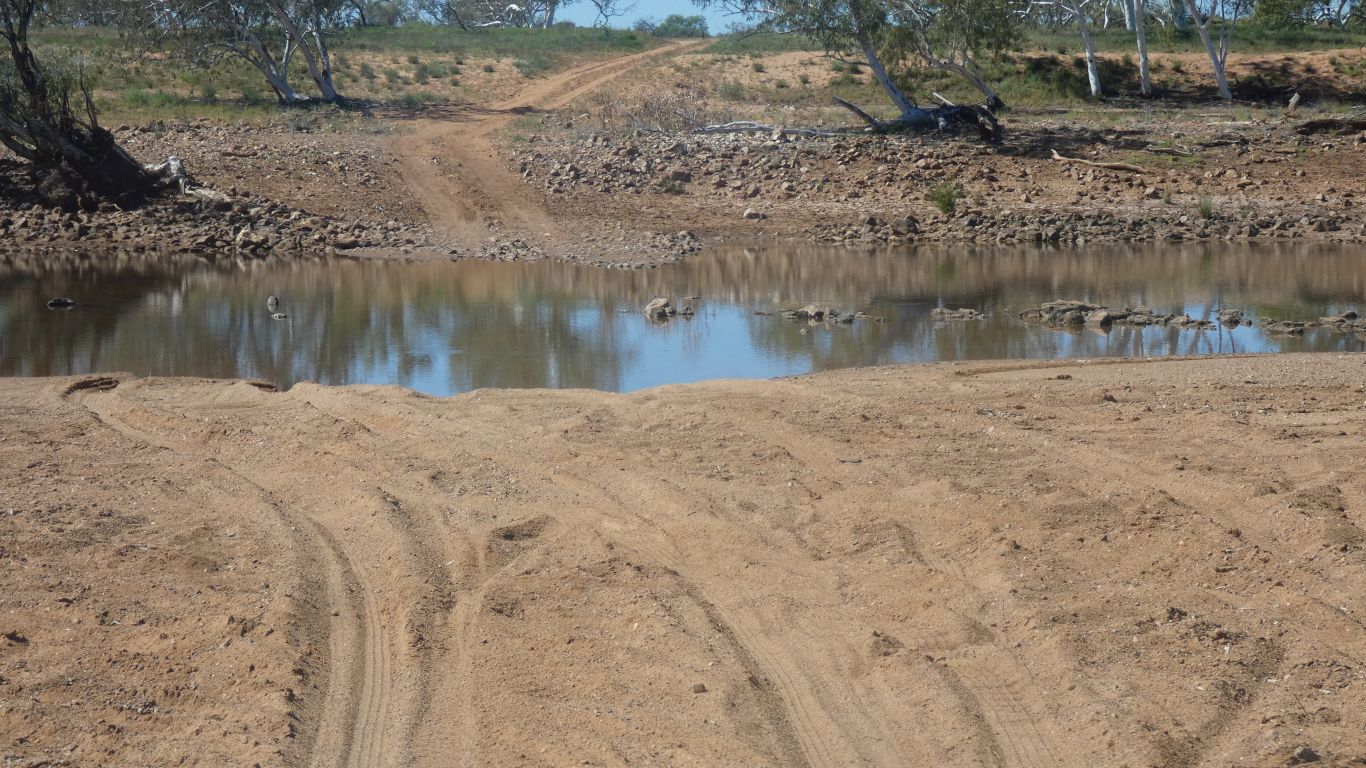
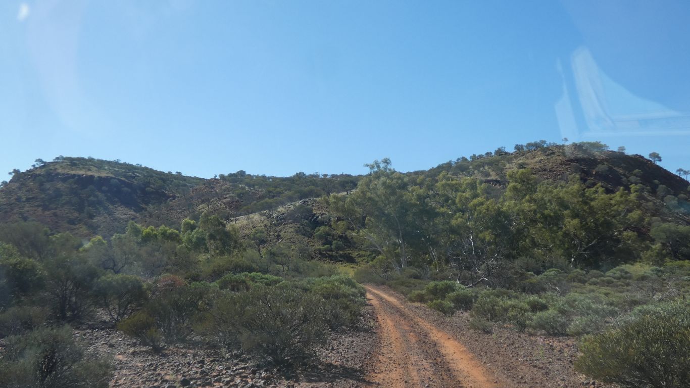
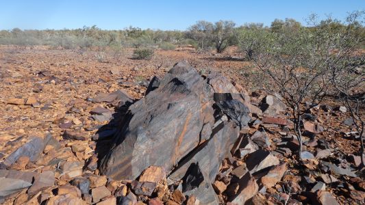
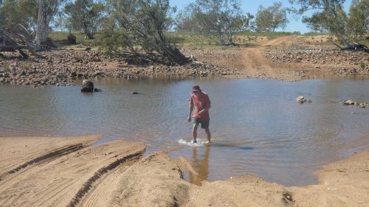
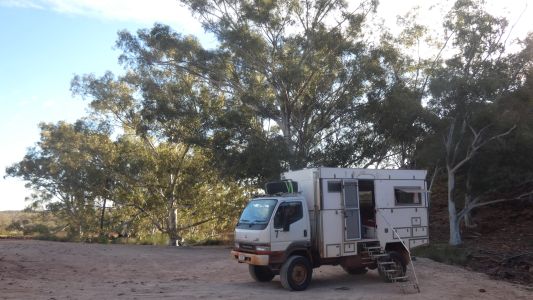
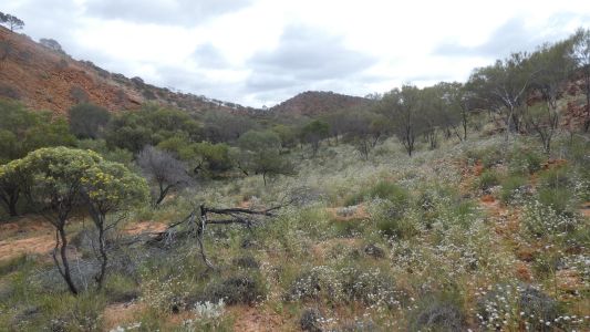
Fletcher Crossing, across the Lyons River, so named because
Fred Fletcher took it into his head to construct a crossing in the 1950's.
He arrived in the area as a teenager and decided the crossing should be
accessible to all. The local council agreed and let him do it. There's
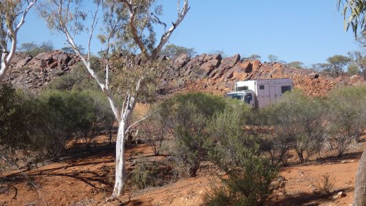
camping spots both sides of the river. We unthinkingly camped next to this
ridge of rocks. |
| | | |
 |
|
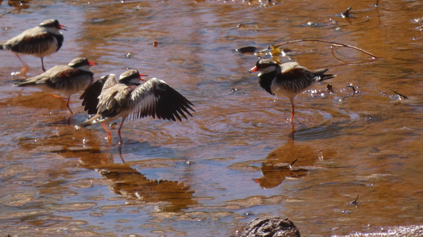
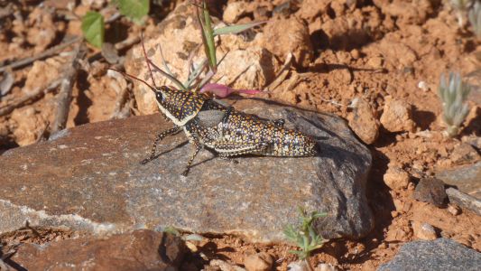
Three onto one doesn't seem fair. Definitely a bit of aggro.
The one backed off. |
| | | |
 |
|
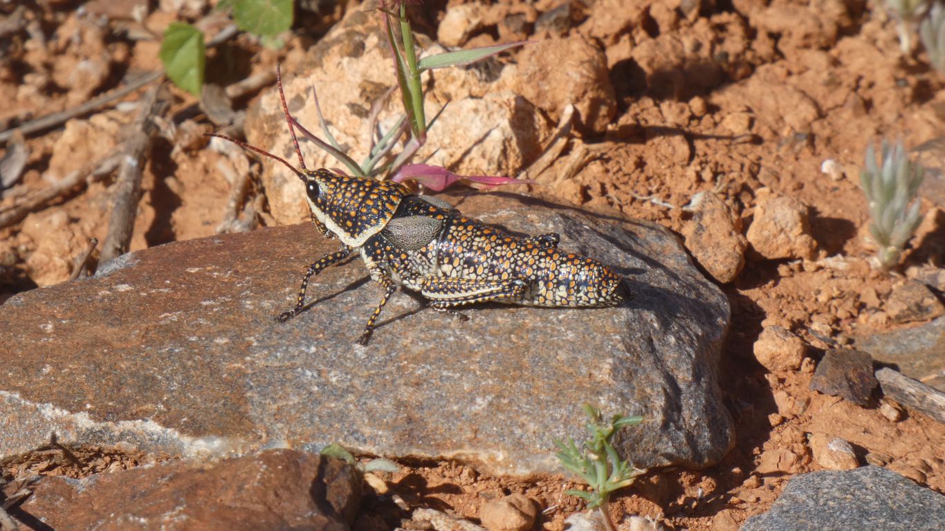
A grasshopper .... Blistered, or painted. |
| | | |
 |
|
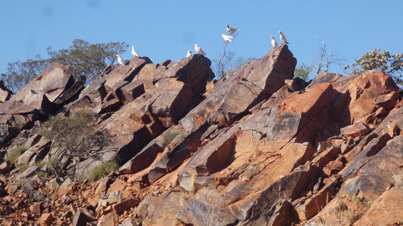
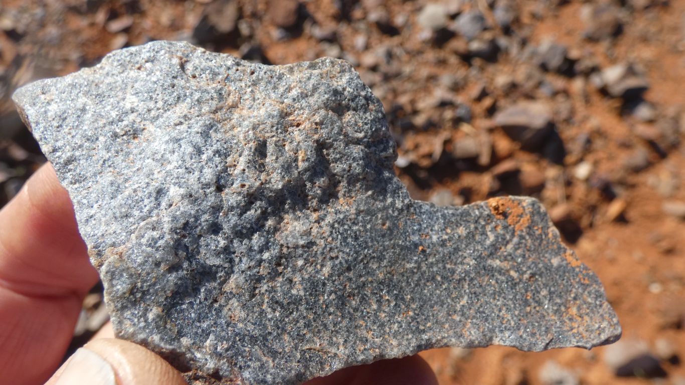
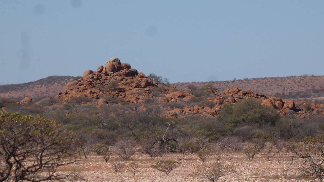
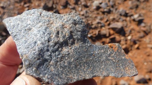
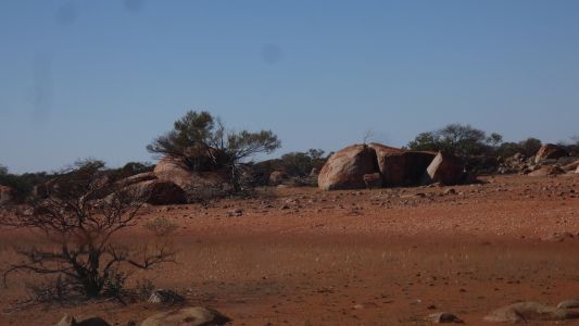
We needed a rest after the rigours of Mt Augustus. Slowly
it dawned on us that the rock is a little unusual. The first thing we
noticed was its tinge of blue. |
| | | |
 |
|
And its relatively fine crystals. |
| | | |
 |
|
It stuck out like a sore thumb. |
| | | |
 |
|
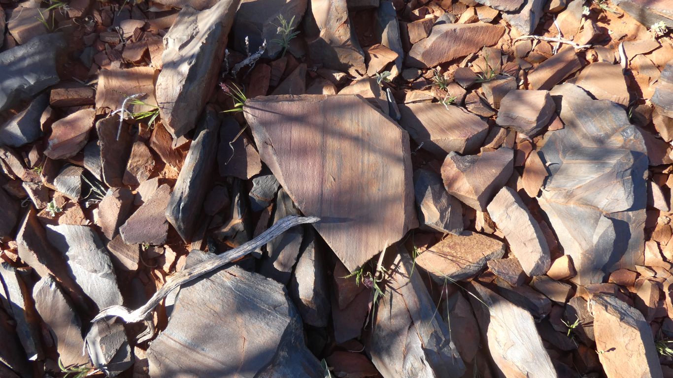
Tilted and eroded. |
| | | |
 |
|
A little banded. |
| | | |
 |
|
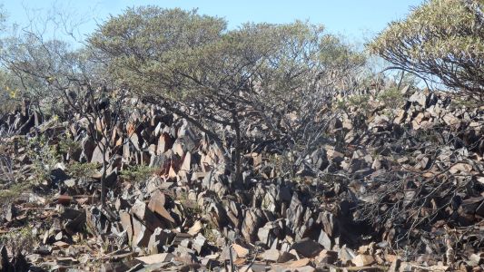
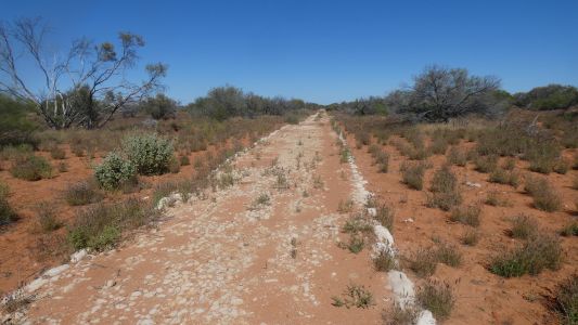
A long dyke. Armed with the thought that it may be
igneous it took a couple of hours of digging through the internet to
conclude it may be ferrocarbonatite. News to me that a volcanic rock may be
carbonate rich, like limestone, though that is sedimentary. The ferro simply
means the main carbonate mineral is also iron rich.
Having worked out what it may be I could then ask mindat where it is
found.
This is the only area its found in Australia, along the Lyons River
sills. There are a few deposits in other parts of the world.
A useful confirmation after some non-trivial detective work. |
| | | |
 |
|
Fred's original crossing made use of where the river had
eroded the dyke. |
| | | |
 |
|
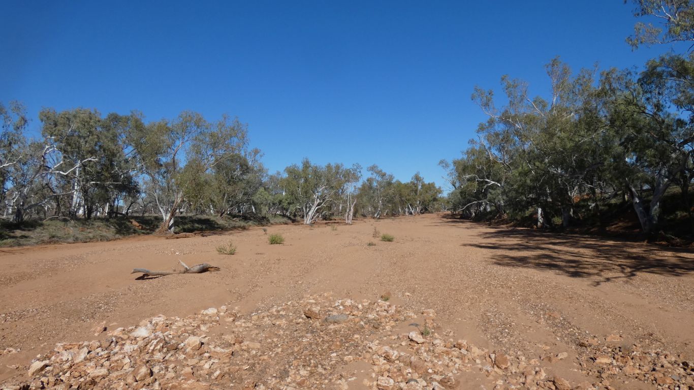
No water, but the Lyons River is wide and sandy. The
landscape slowly changing as we move closer to the coast. |
| | | |
 |
|
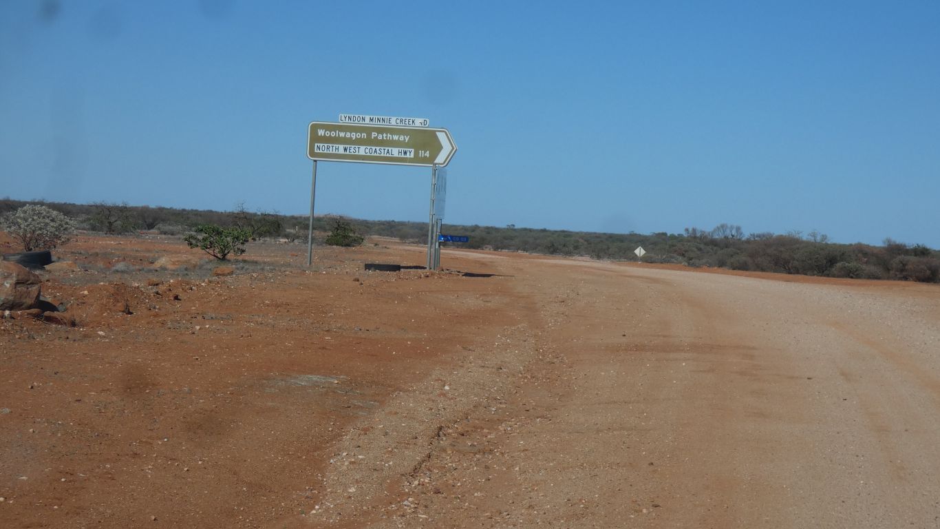
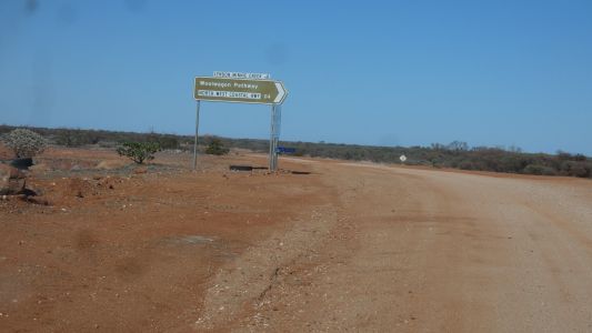
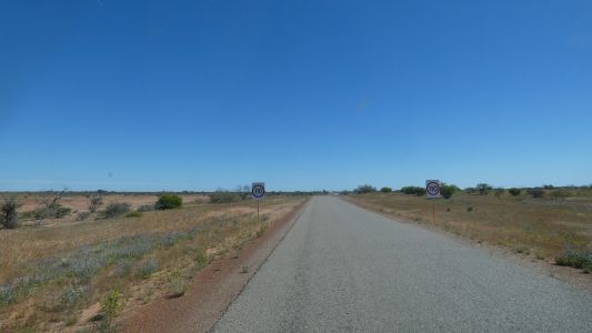
As the road turns south we encounter signs for the "Woolwagon
Pathway". In days gone by this part of The Gascoyne was sheep country.
The little blue sign low down seems to be part of gas exploration, wells,
and pipelines. |
| | | |
 |
|
Still flat. But a granite outcrop. |
| | | |
 |
|
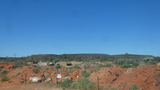
Near the Lyons River Station homestead. We are about to
drive round the Kennedy Range Loop Road and will have to pass this way again
in a few days. We need fuel and water at Gascoyne Junction.
On our next pass hopefully we'll remember to stop and look at the
limestone hills. There be fossils .... |
| | | |
 |
|
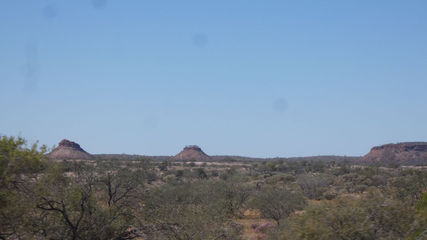
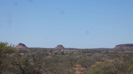
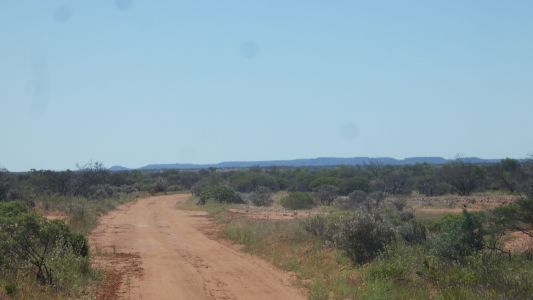
We begin to see more of the Kennedy Range. |
| | | |
 |
|
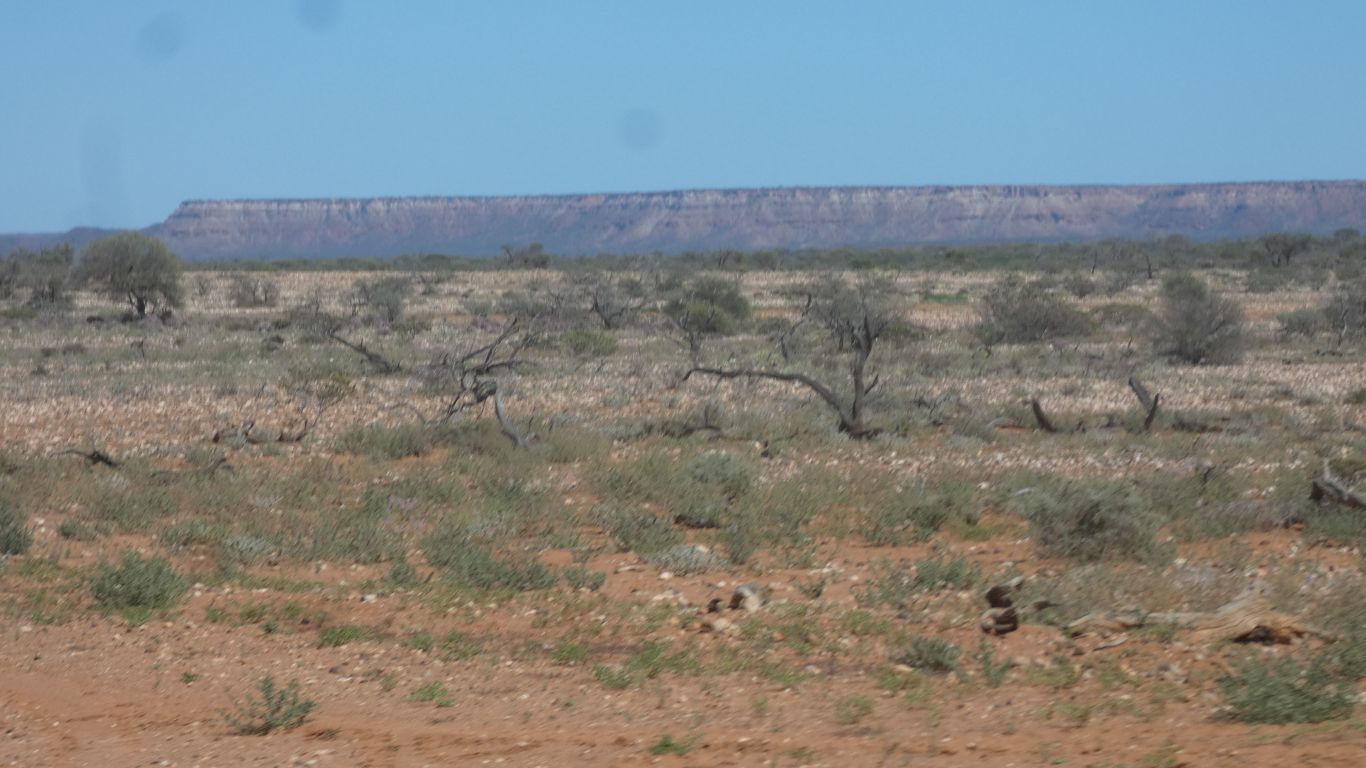
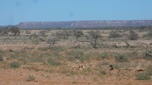
A long, 100m high, escarpment. There's an interesting
campsite at the base. A couple of gorges and a walk. |
| | | |
 |
|
A bit of old cobbled road. Part of the Woolwagon Pathway.
The interpretive sign etched aluminium and very difficult to read. Something
about changing to motorised transport. |
| | | |
 |
|
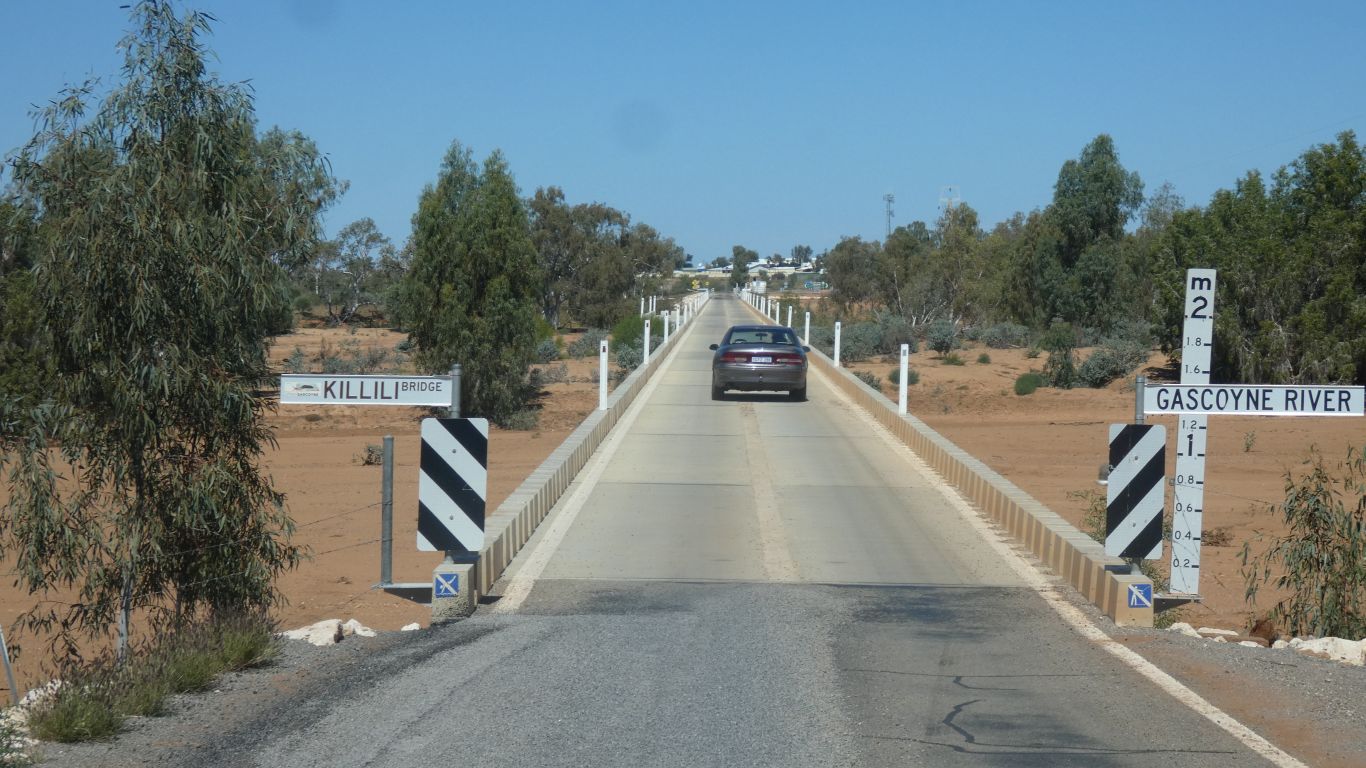
A long bridge over the Gascoyne River gets us to Gasoyne
Junction. |
| | | |
 |
|
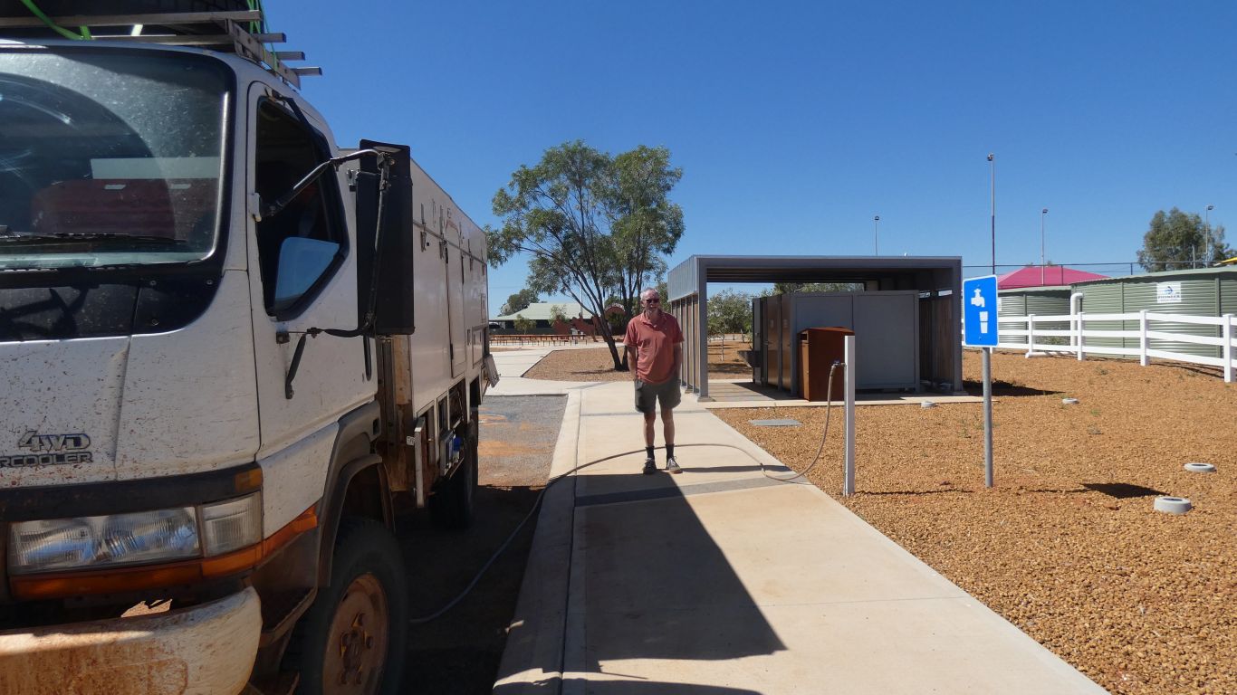
The easiest water fill we've had for yonks. Dump point and
fuel not far away. But no shop. |
| | | |
 |
|
The sealed road reaches all the way to the coast at
Carnarvon. |
| | | |
 |
|
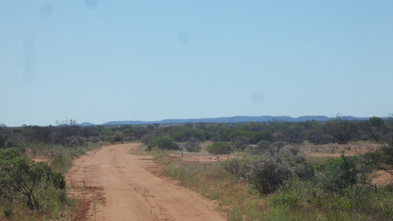
But not yet. We turn north, along the western side of
Kennedy Range. |
| | | |
 |
|
Across the Gascoyne River. Time for 4wd and a little air
out of the tyres again. |
| | | |
 |
|
There is no bridge this time. |
| | | |
 |
|
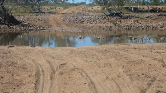
It looked like someone had driven through recently. But
best check. The bottom feels relatively solid.
We cross safely at a sedate pace.
|
| | | |
 |
|
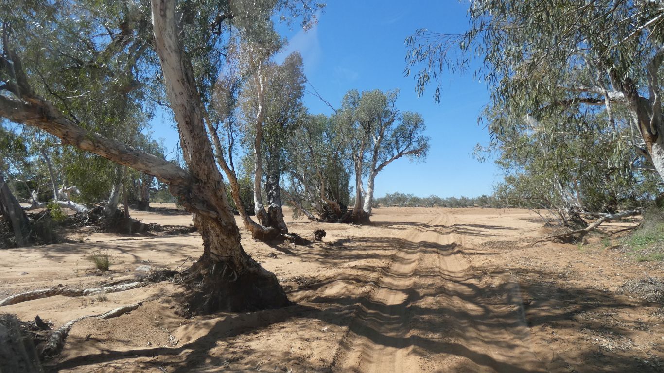
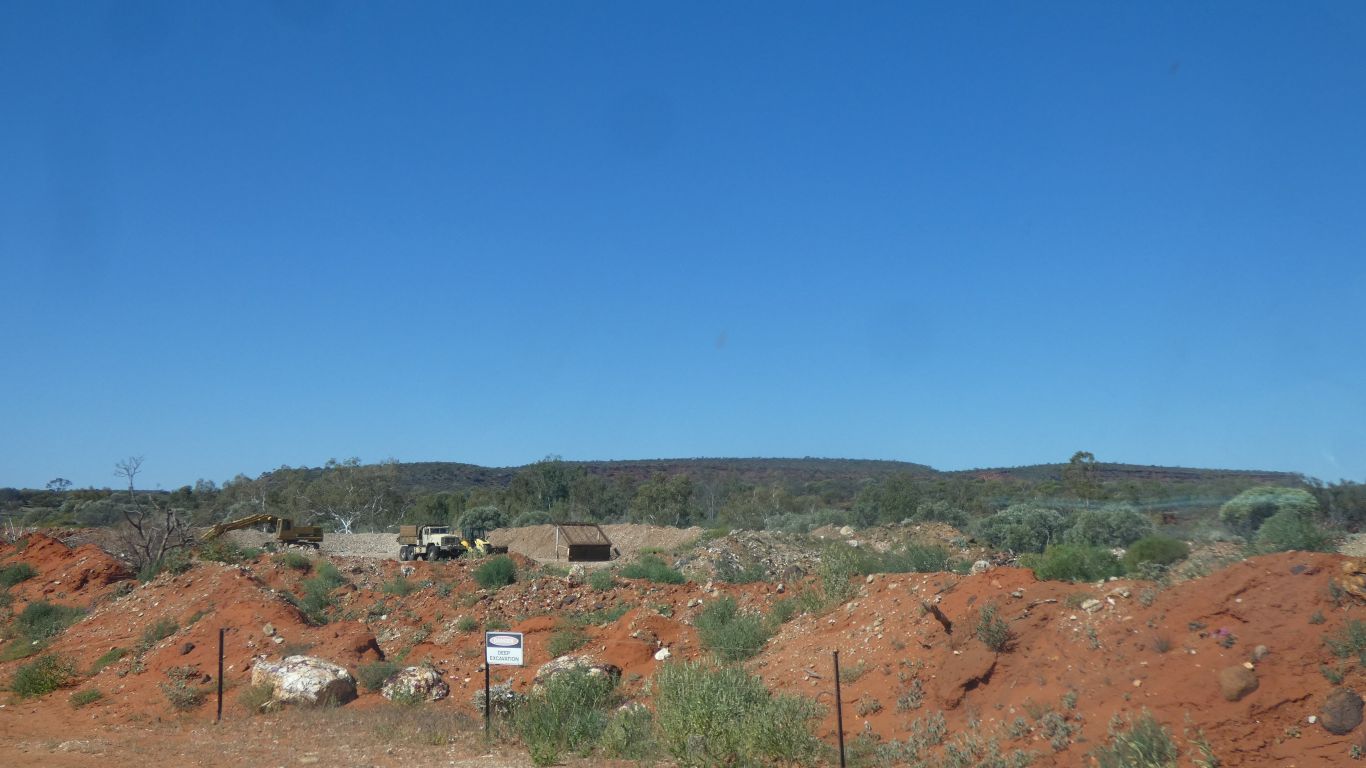
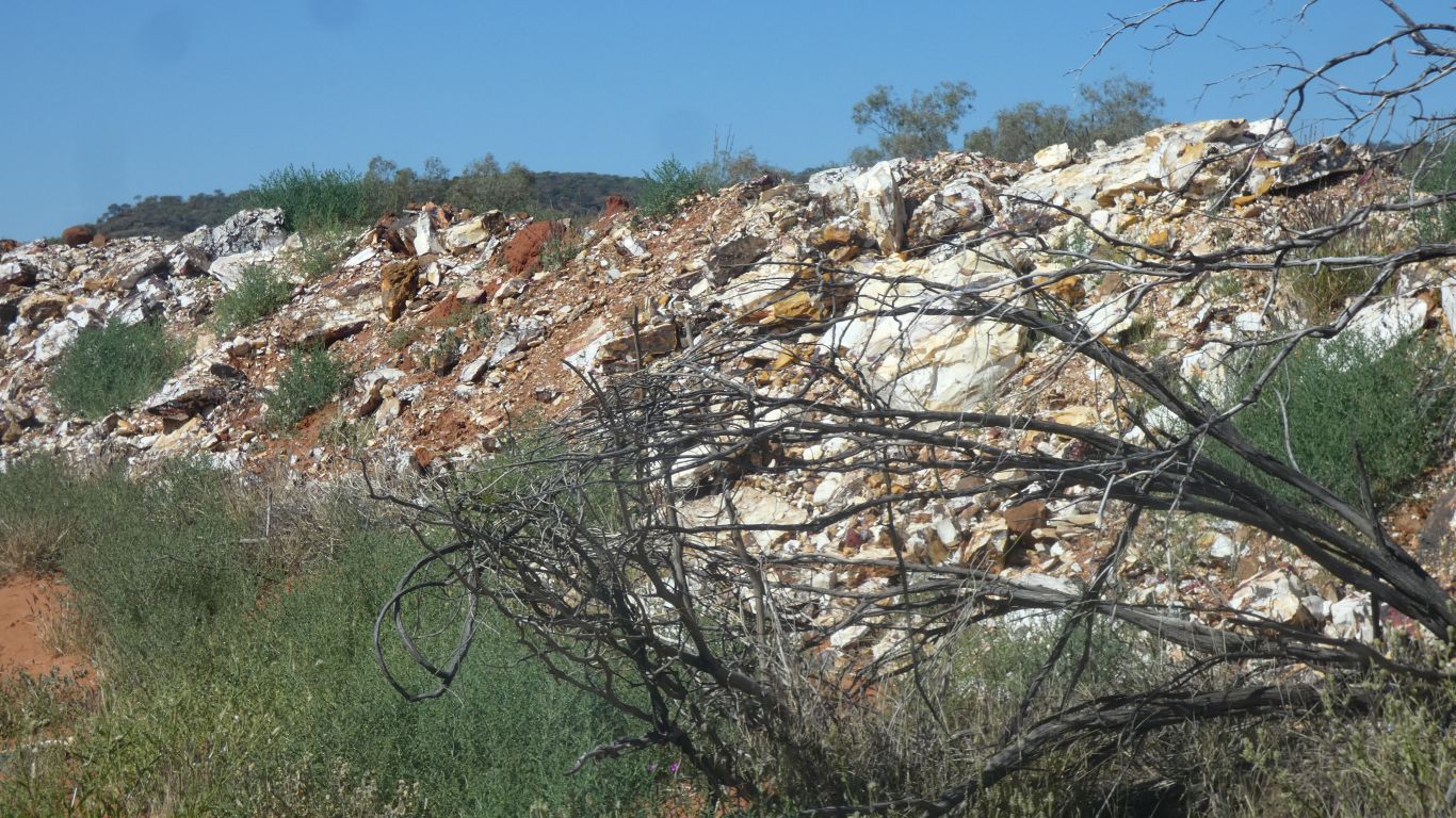
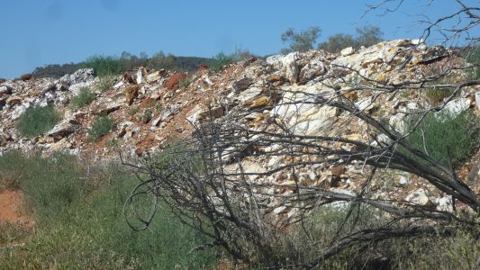
Into the national park, we pass Mooka Creek. Where
Mookaite is quarried.
Nodules of chert, opalite and chalcedony in lithified (solidified)
radiolarian clay.
Radiolarians are small shelled animals with silica based shells. The rock
is below the level of the creek bed.
Decorative and with healing properties. The nodules remind us of jasper,
reds and yellows, blues and greens. |
| | | |
 |
|
The spoil has been built up around the quarry. Reminded
us of the oozie mud bottom of Lake Eyre. But solidified. |
| | | |
 |
|
A bit uninviting we carry on north. |
| | | |
 |
|
We follow the western edge of the range. |
| | | |
 |
|
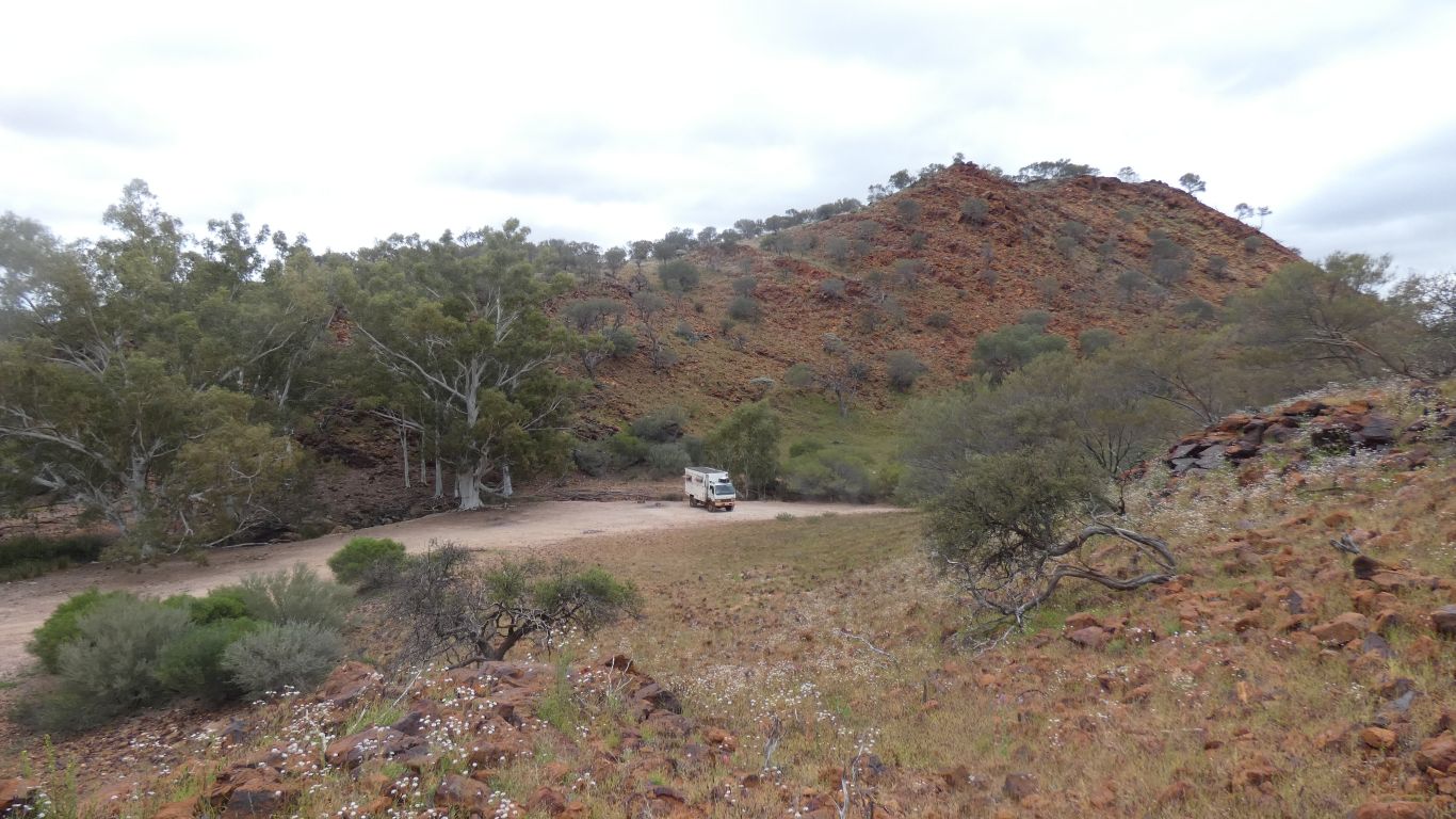
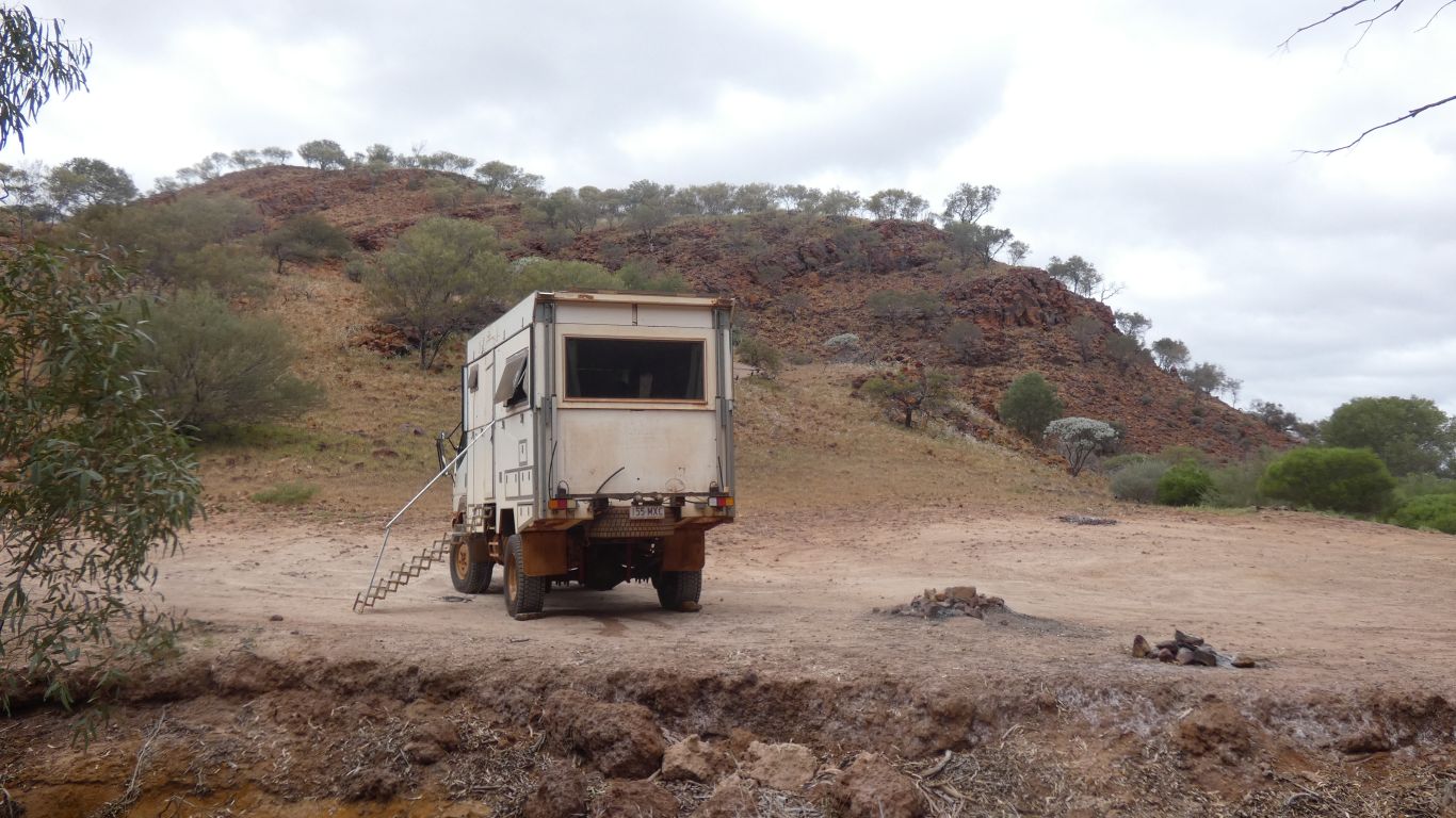
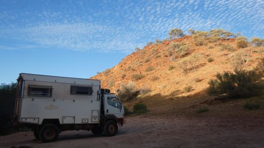
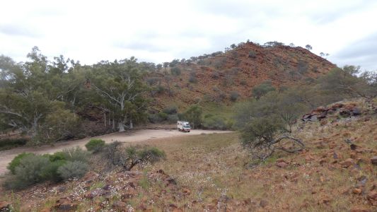
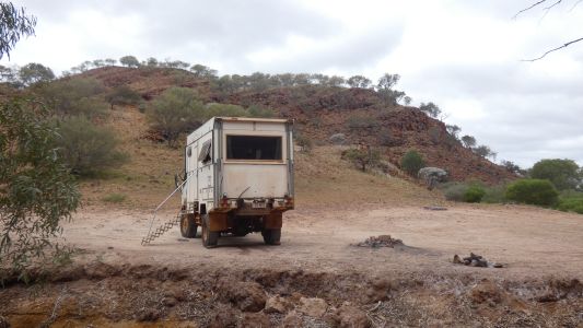
And camp at Yenny Spring. |
| | | |
 |
|
There's a trickle of water flowing. |
| | | |
 |
|
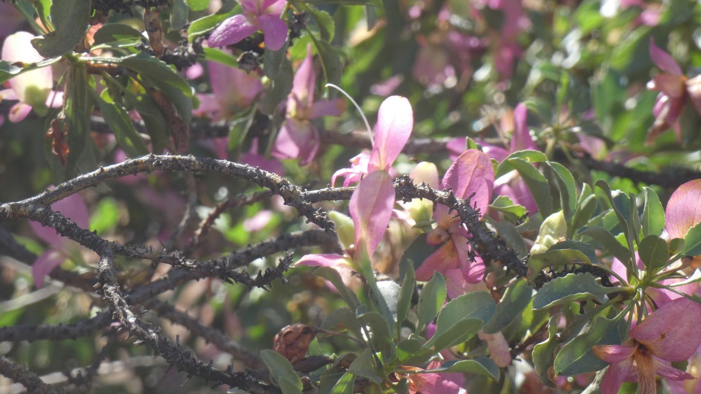
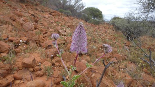
Sadly I have a sore throat and am developing a cold. Also a
headache from hitting a tree branch with my head. Hopefully both will fade.
But we stop here for two nights. We brave the flies, lots of them, to
explore up the creek bed a bit.
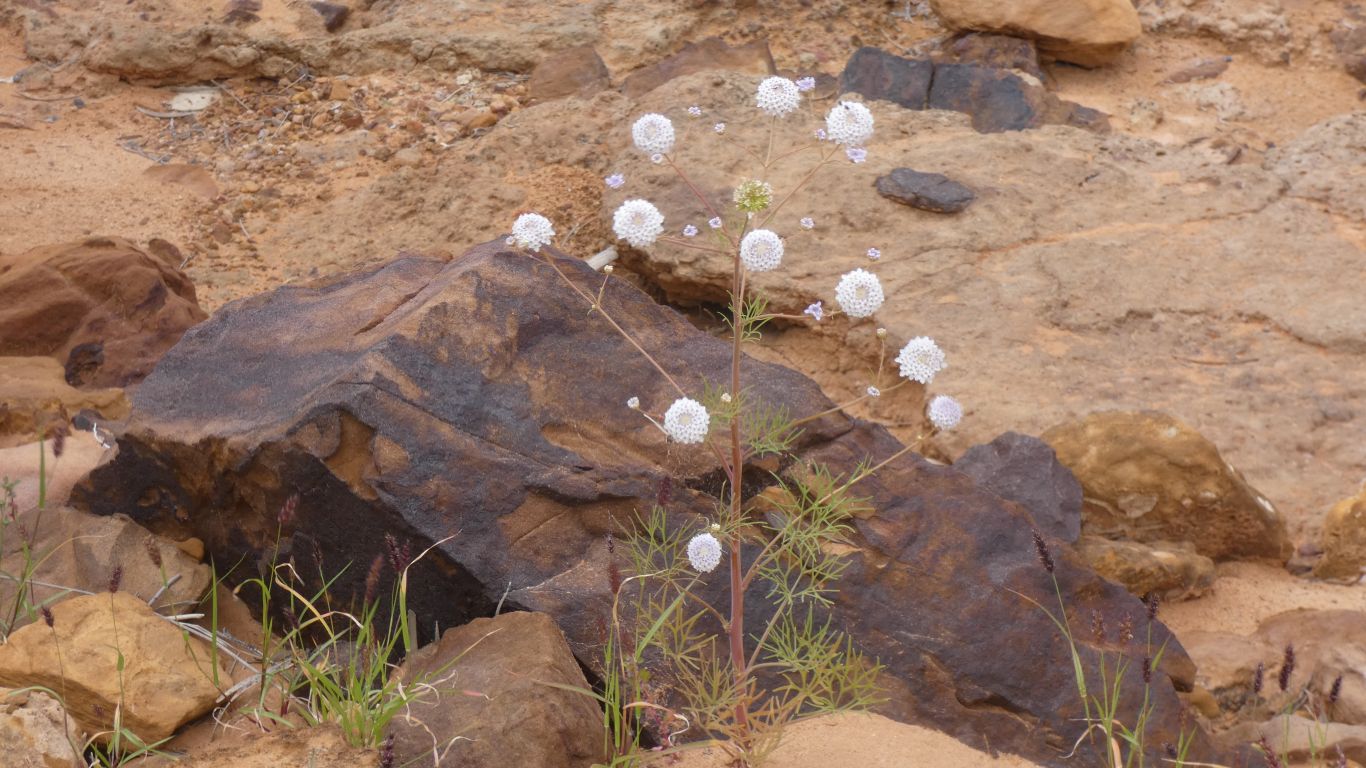
We didn't expect mulla mulla. |
| | | |
 |
|
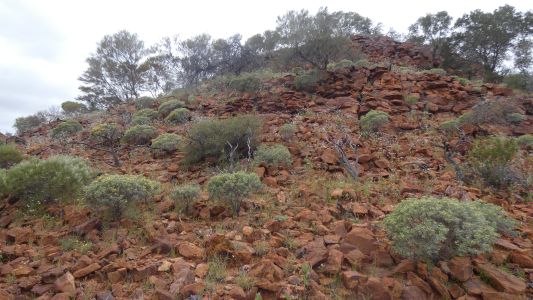
Very rocky, but somehow the plants find a foothold. |
| | | |
 |
|
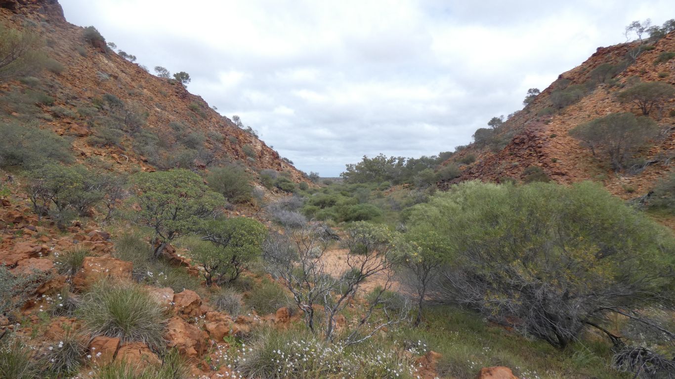
A narrow rocky entrance to a wide campsite. Upstream to the
right. |
| | | |
 |
|
Delightful. |
| | | |
 |
|
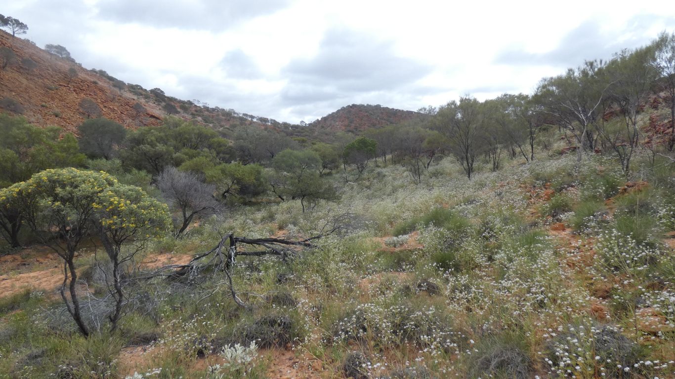
The creek doesn't appear on the 1:250,000 maps but is quite
long. |
| | | |
 |
|
Looking back towards our camp, and the plain beyond. |
| | | |
 |
|
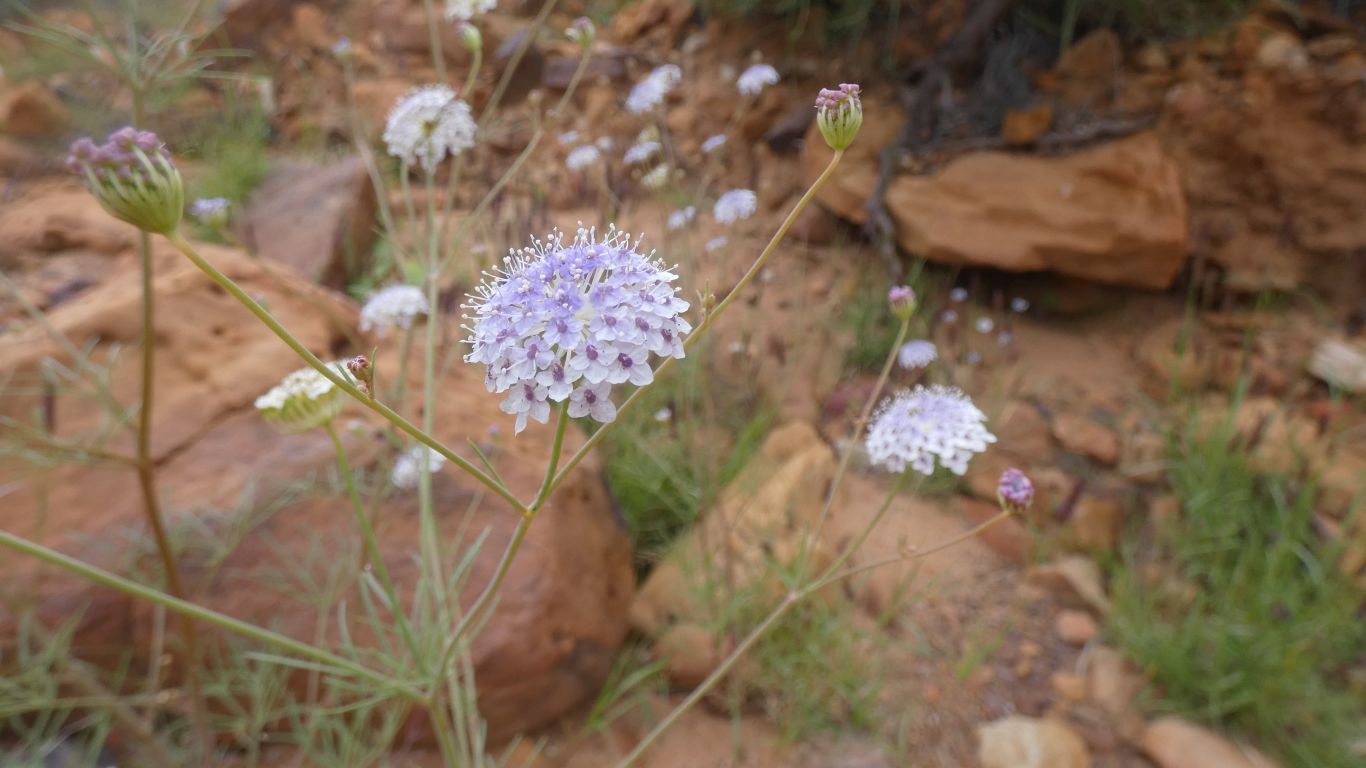
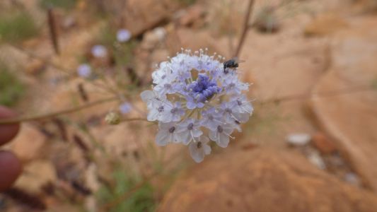
This isn't the only flower head with lots of small flowers. |
| | | |
 |
|
A close look reveals a hint of blue. And one of those
nasty flies. |
| | | |
 |
|
Our rear window overlooks the spring. A couple of wood
swallows, a couple of galahs, the mandatory wagtail, lots of kangaroo
droppings, but otherwise not a lot of life.
Beyond the flies that is .... |
| | | |
| Great Gorge
and Escarpment |
|
August 23 - 24 2024 |
| | | |