| |
|
|
| Nick's Camp, Warroora, Part Two |
 |
August 27 - September 3 2024 |
| |
|
|
 |
|
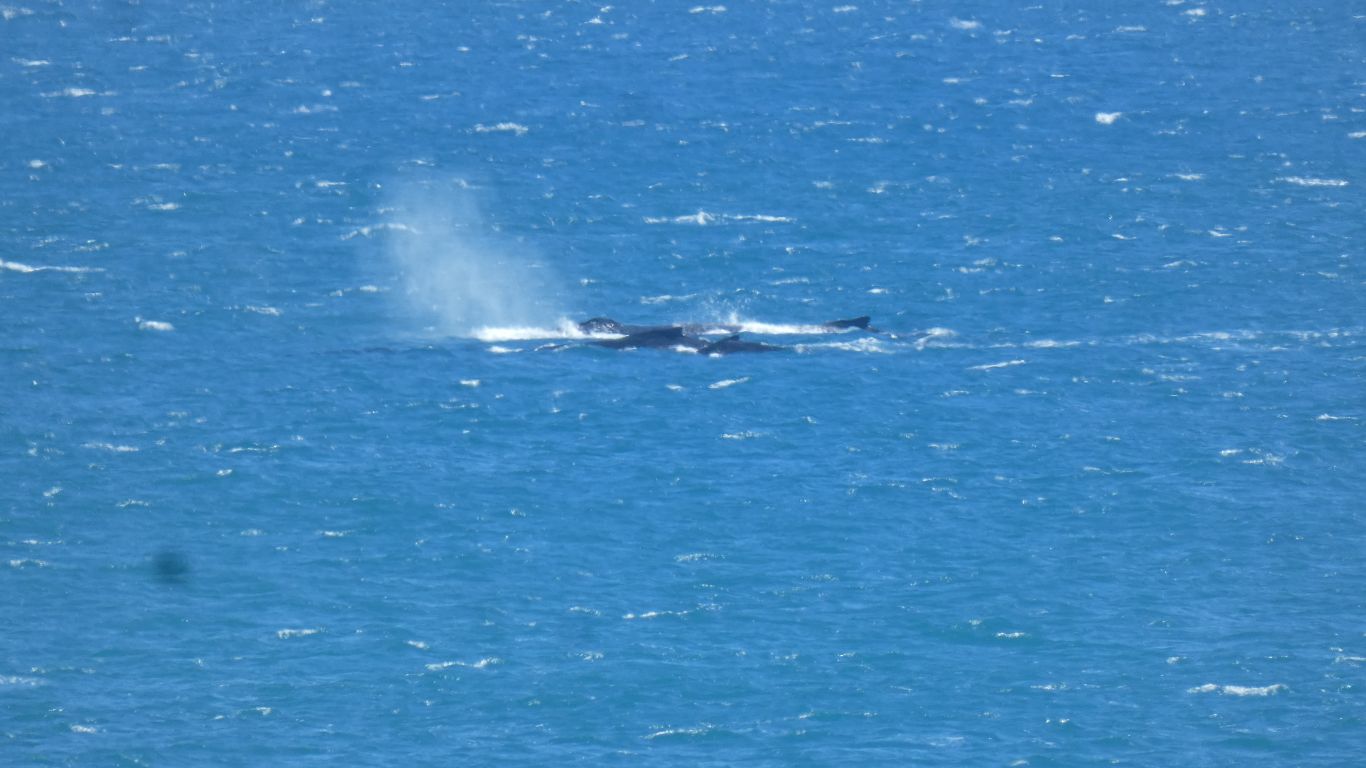
Most whales pass outside the reef. Occasionally some swim
by inside the reef. A bit closer to us, but still more than a km away. |
| | | |
 |
|
Mostly parallel to the surface, occasionally diving. |
| | | |
 |
|
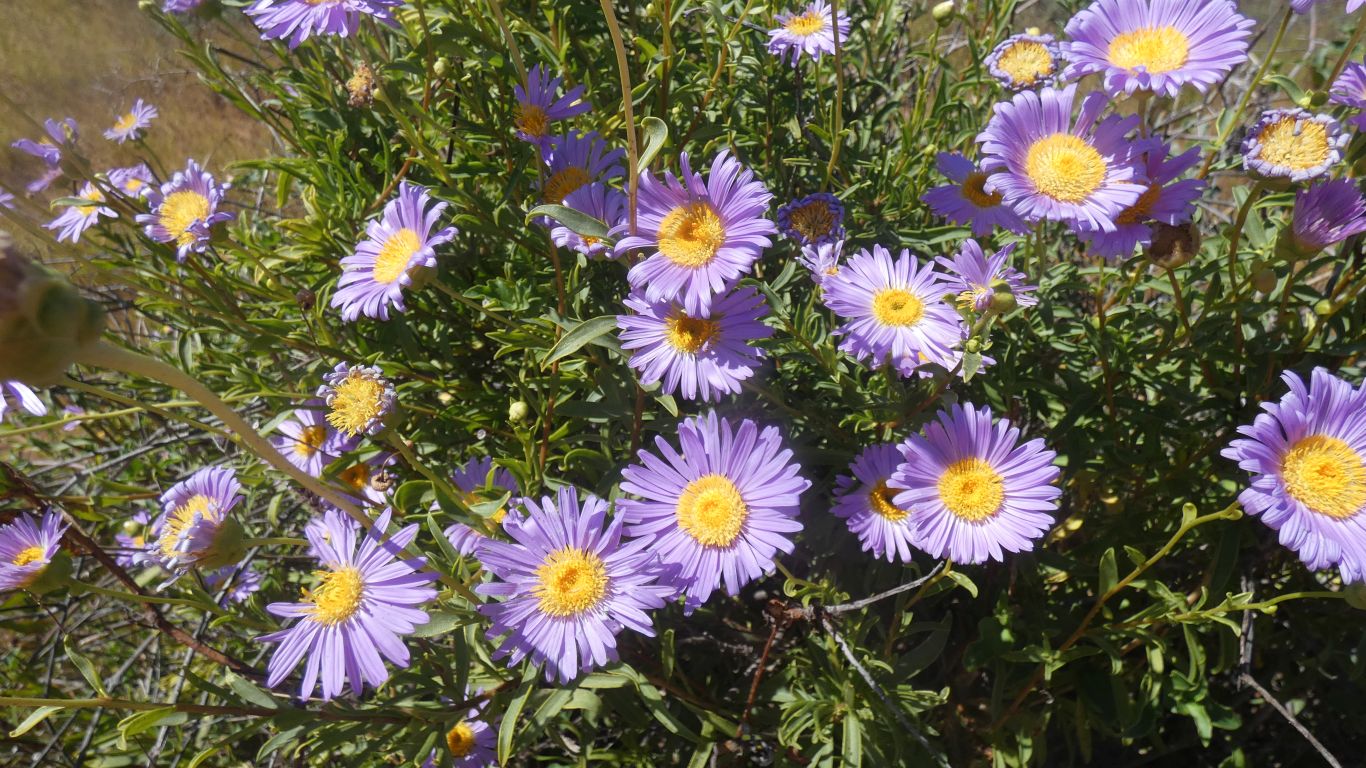
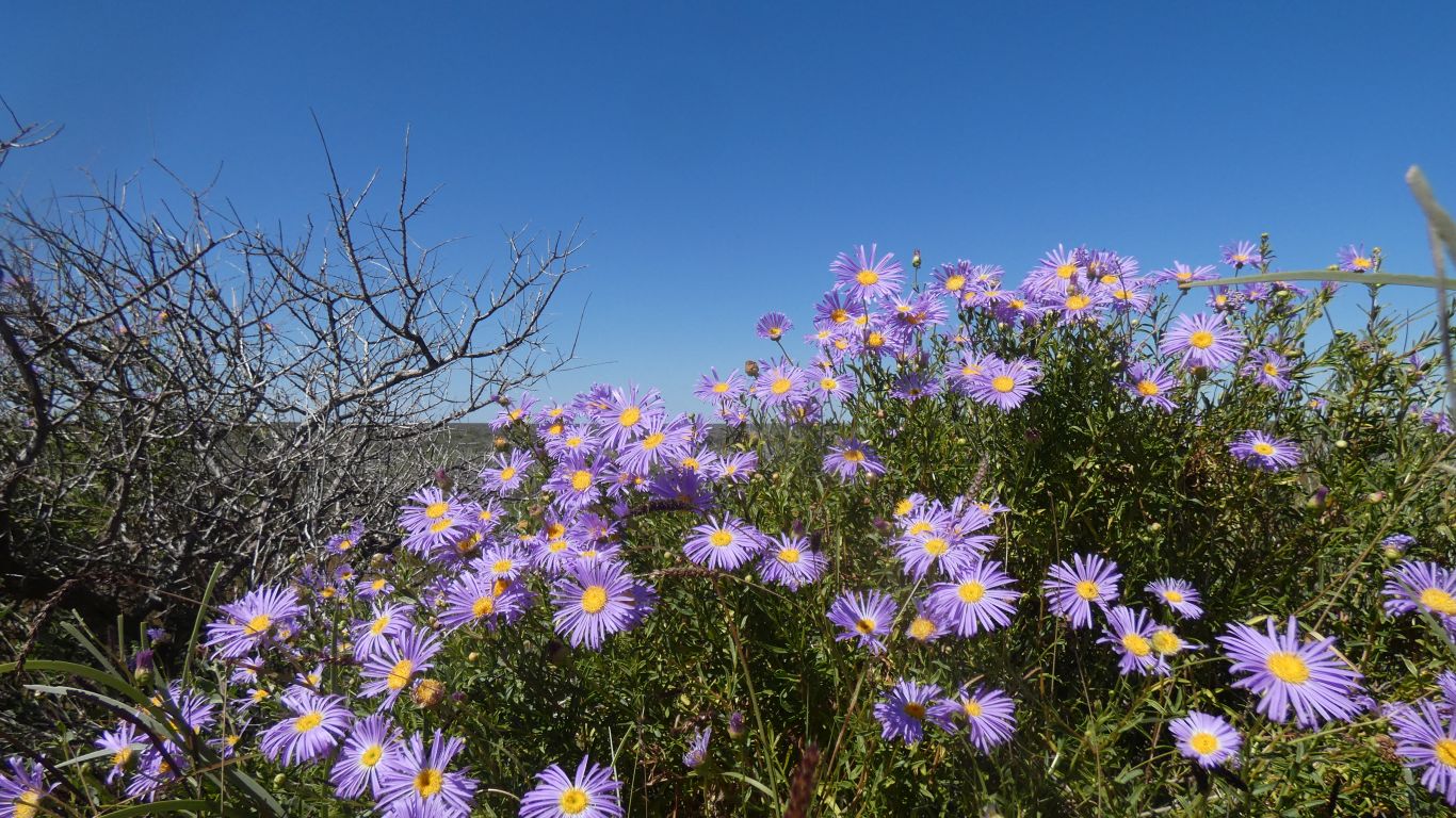
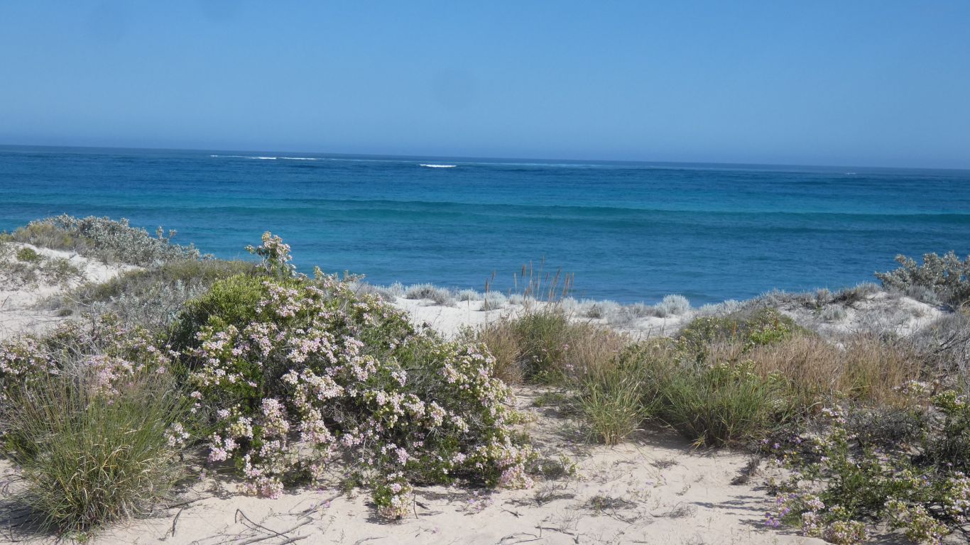
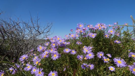
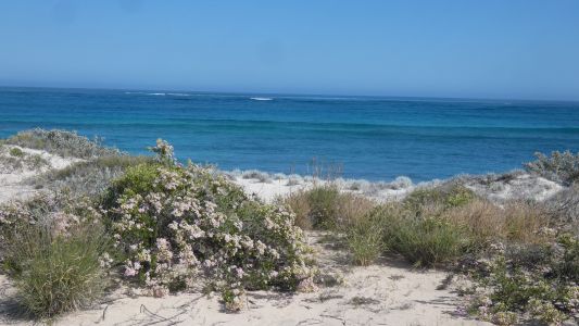
So we content ourselves looking at flowers. Looking in vain
for insects. |
| | | |
 |
|
But why so many flowers? |
| | | |
 |
|
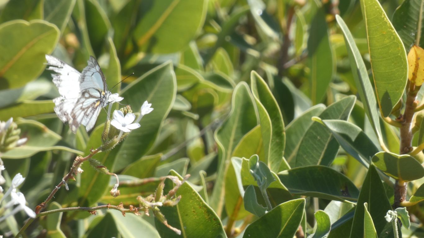
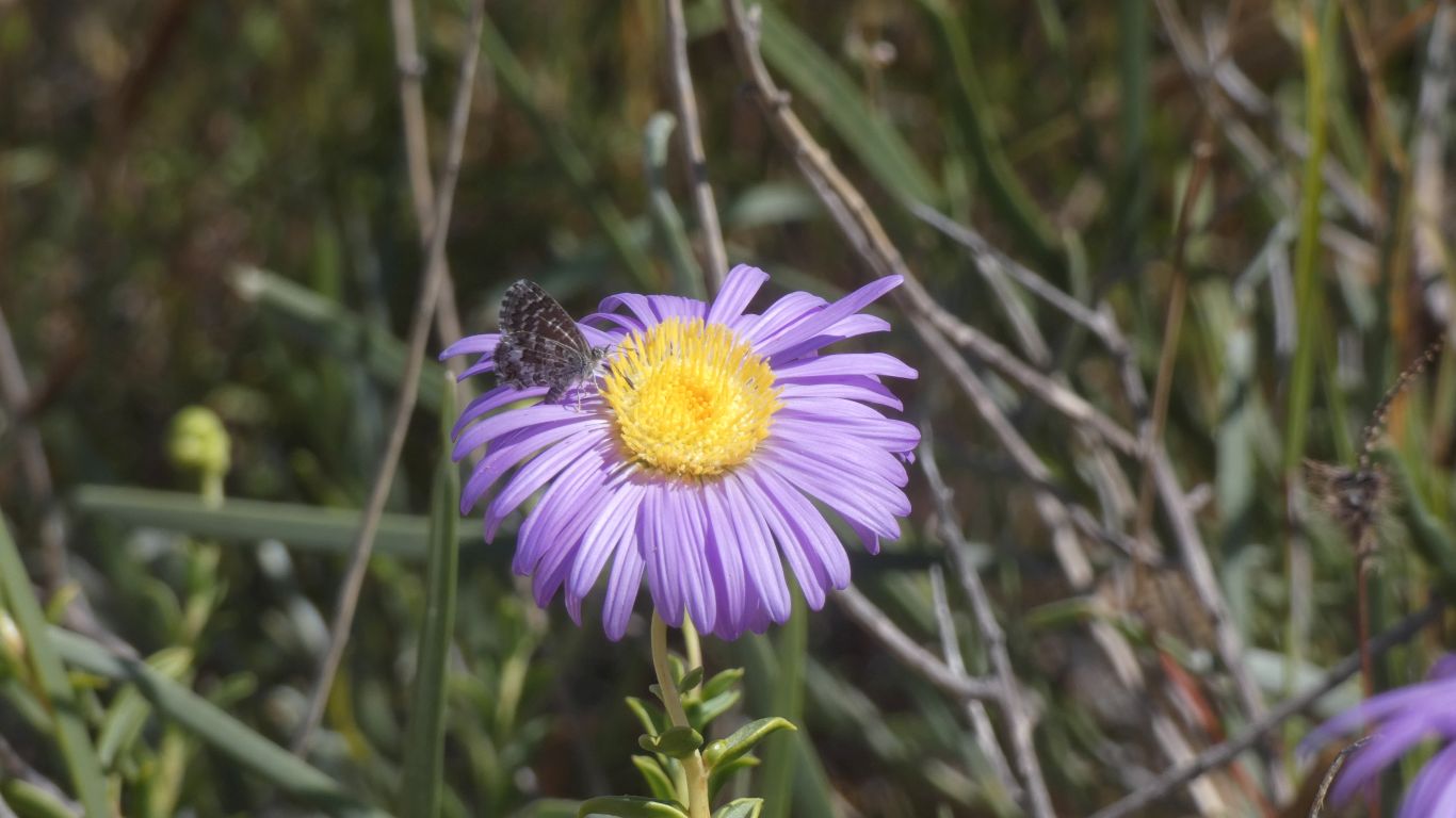
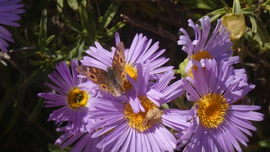
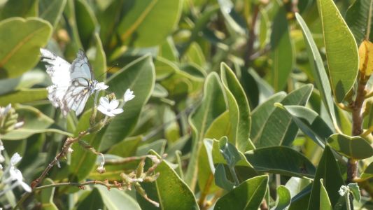
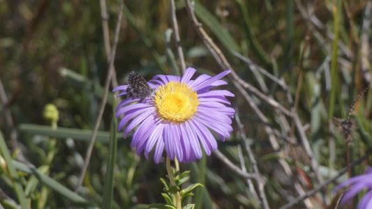
At last, a passing butterfly. Presumably hunting for
nectar, and pollinating in the process. Though not very busy. |
| | | |
 |
|
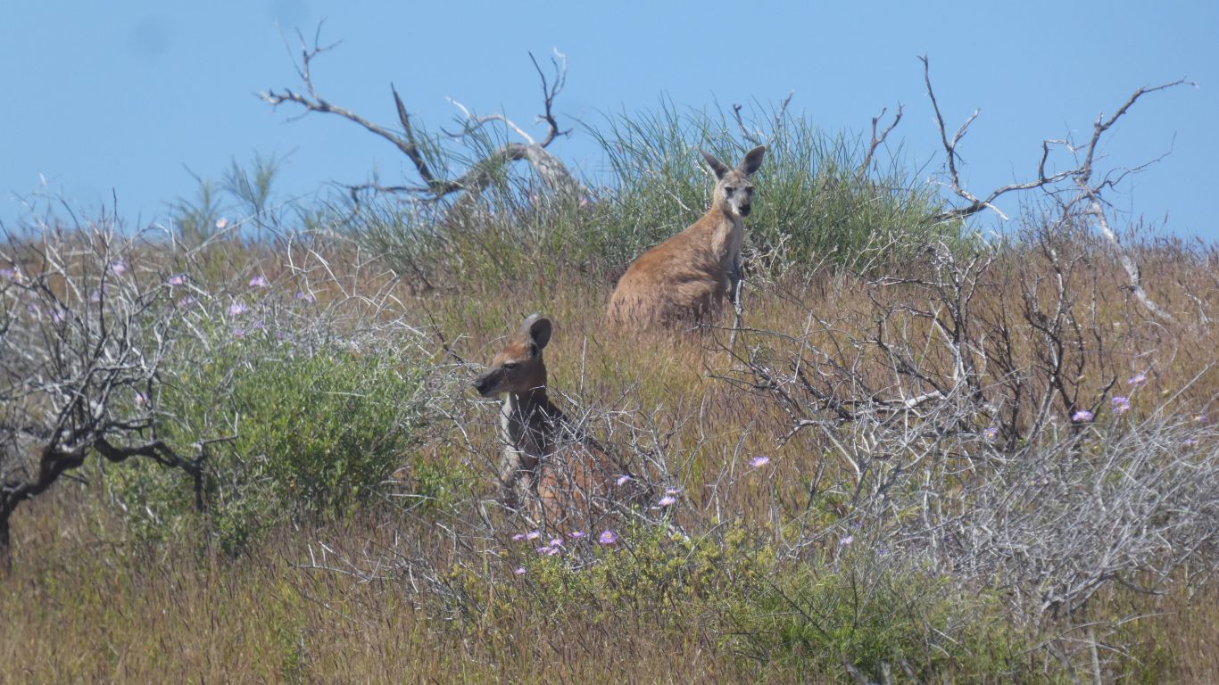
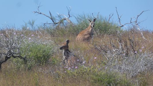
Inland from the windmill, a bit of a gully, we are watched
by kangaroos from the sides. |
| | | |
 |
|
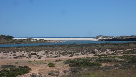
Another day. We explore inland beside the lagoon. |
| | | |
 |
|
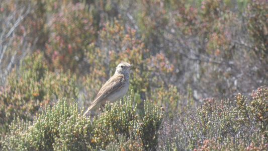
The bird book is of little help. |
| | | |
 |
|
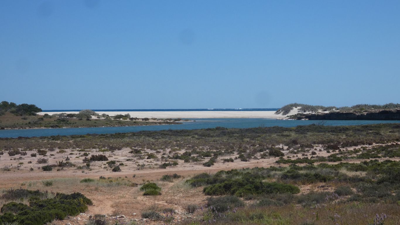
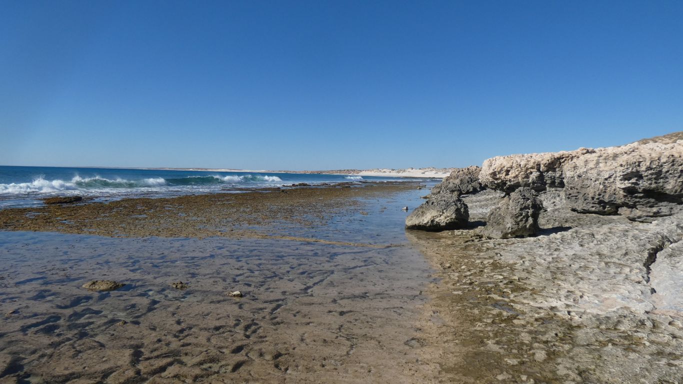
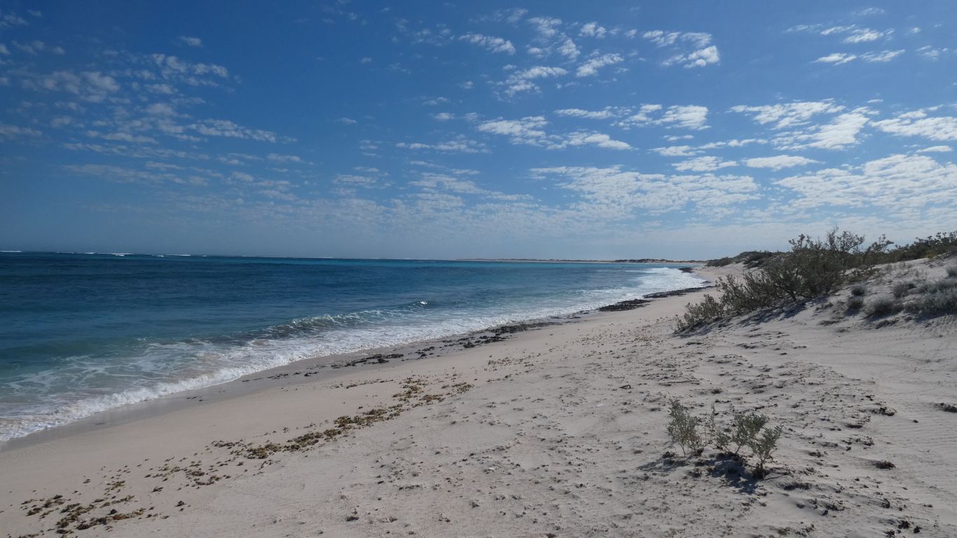
A lower than previous tide allows us to see the shelf below
our cliff top. |
| | | |
 |
|
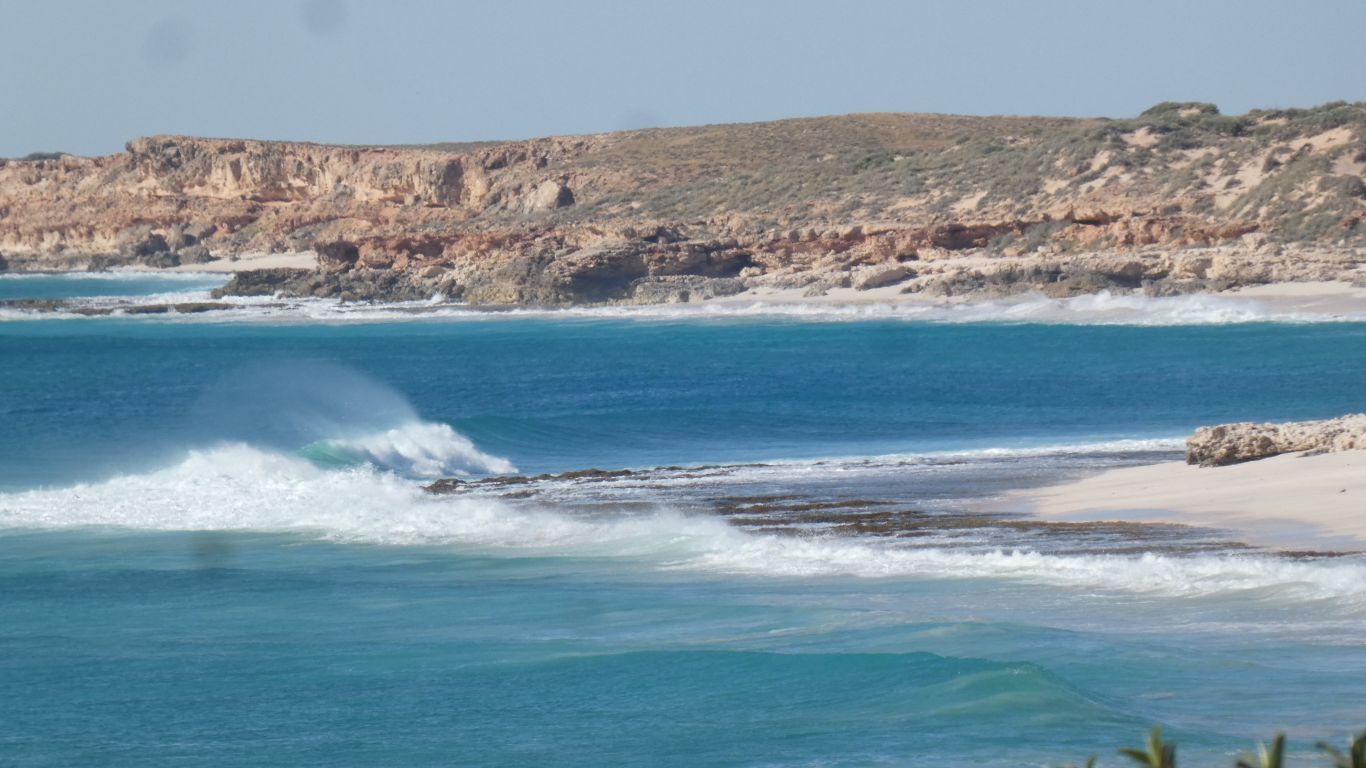
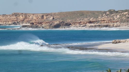
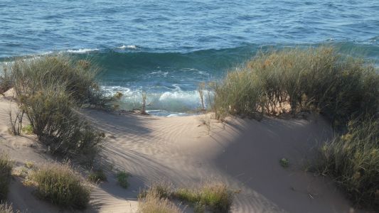
And watch the waves break differently. Though still the
persistent wind. It hasn't stopped. |
| | | |
 |
|
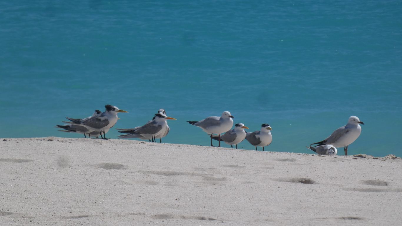
Back to terns and seagulls. |
| | | |
 |
|
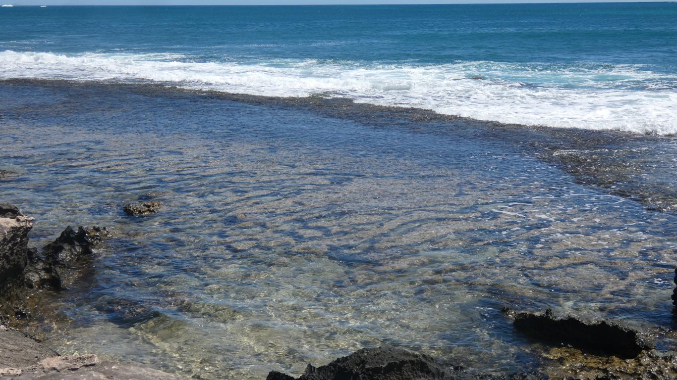
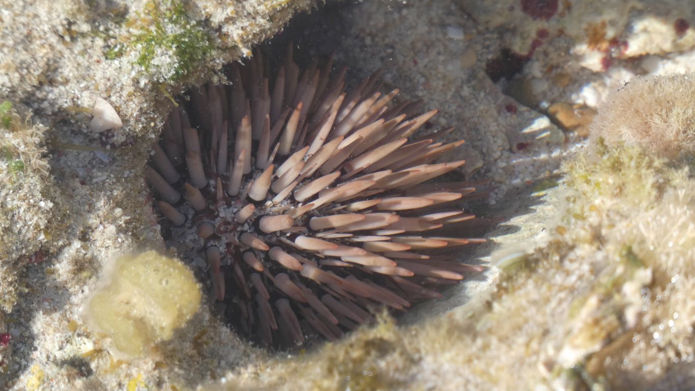
We explore the shelf. |
| | | |
 |
|
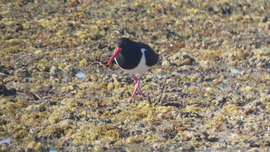
Helped by a cross-legged oyster catcher. |
| | | |
 |
|
I don't think it eats the urchins. The oyster catcher seems
to find sufficient to eat. |
| | | |
 |
|
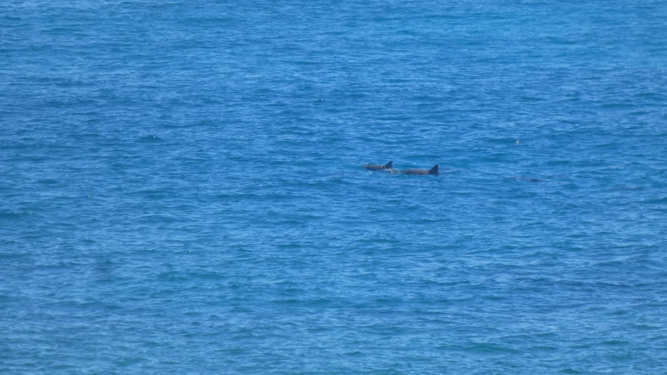
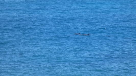
Dolphins again. There is always something to keep us
occupied. |
| | | |
 |
|
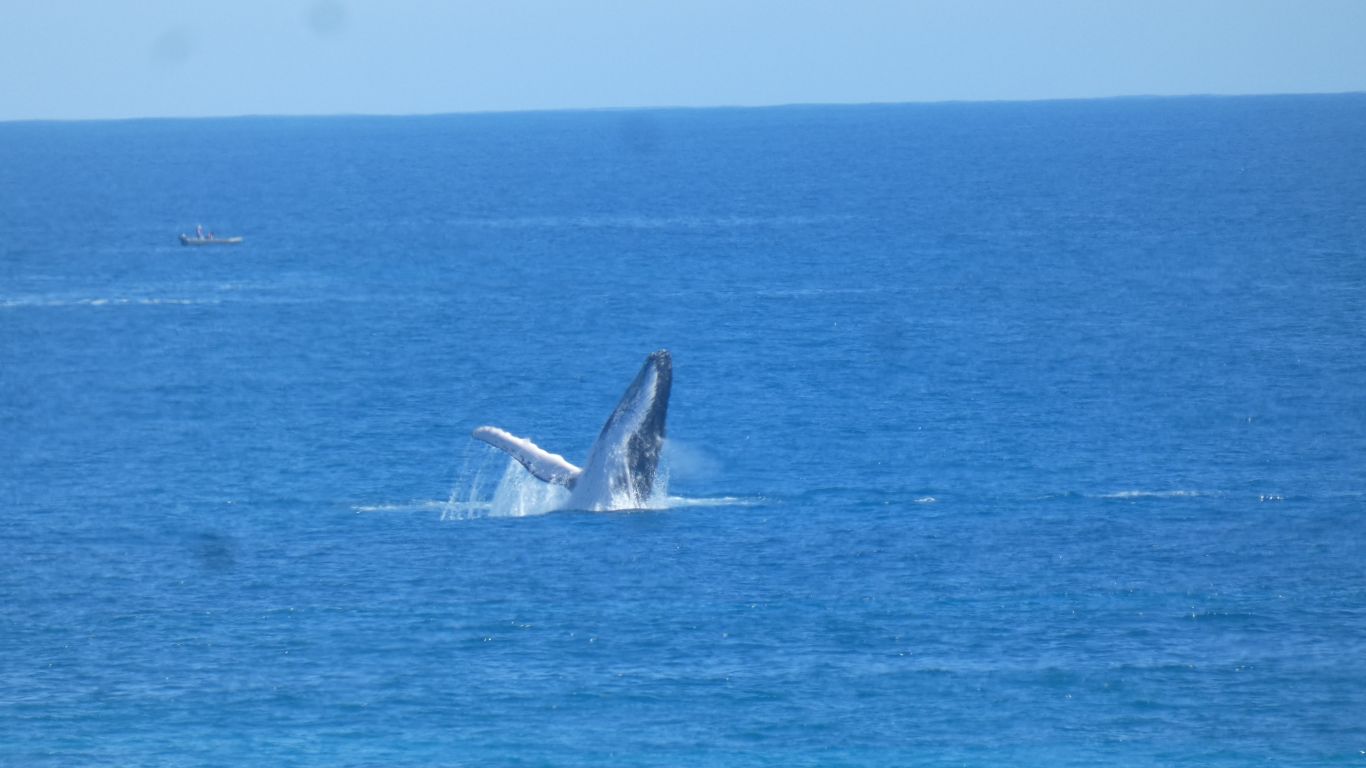
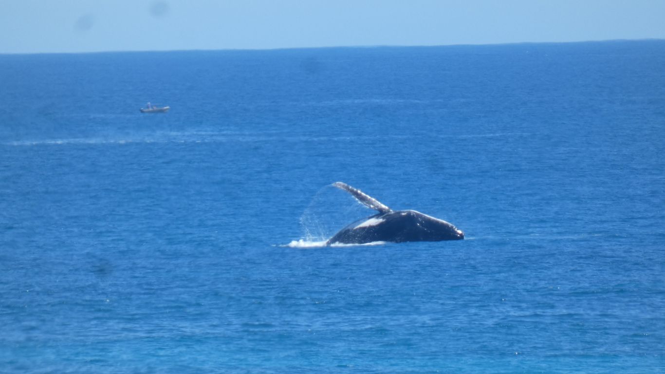
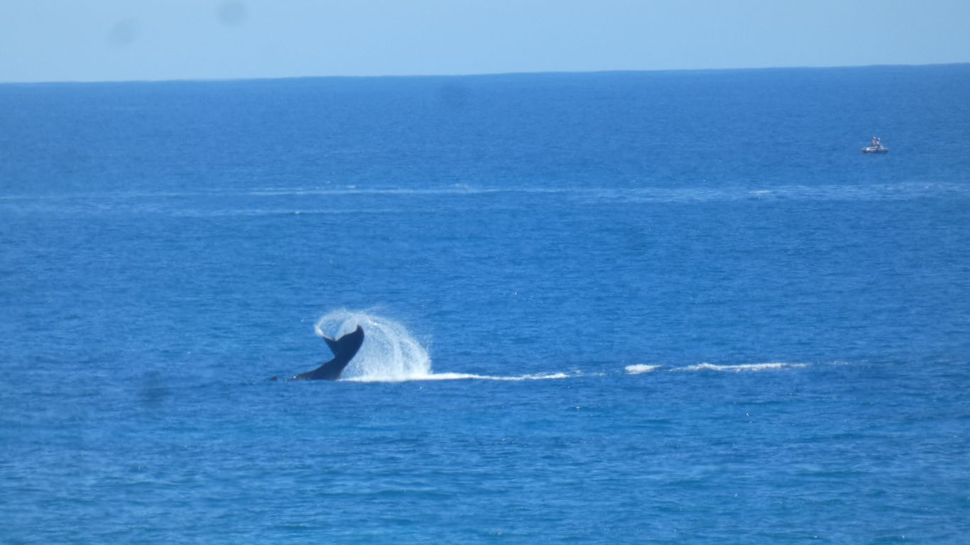
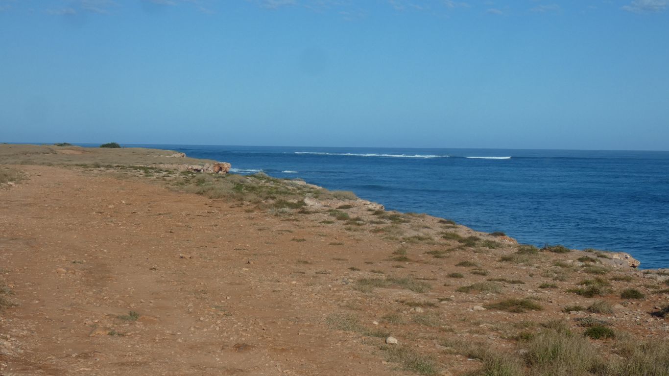
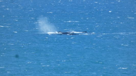
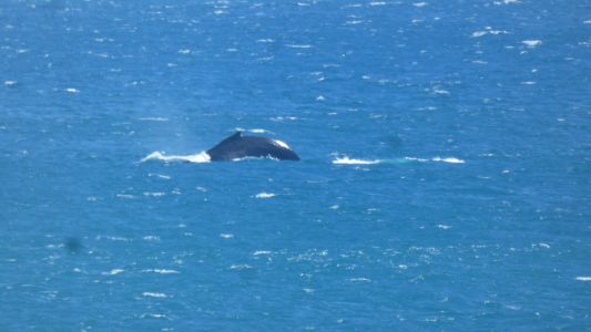
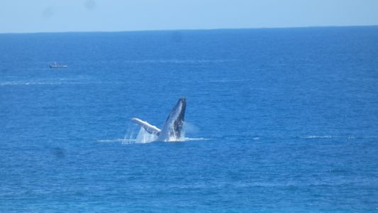
The purely by chance a hump back whale inside the reef. The
water must be deeper than I thought. Ningaloo is a fringing reef.
Connected to the coastal land. On the east coast of Australia is the Great
Barrier Reef. No connection between reef and land. |
| | | |
 |
|
Not quite like being in a boat close to them. But
fascinating to watch. |
| | | |
 |
|
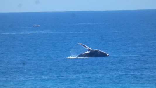
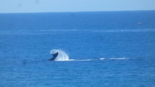
Broaching, then tail flapping. |
| | | |
 |
|
Then back to insects, pollination, and butterflies. |
| | | |
 |
|
And more butterflies. |
| | | |
 |
|
Admiring patterns in the sand. |
| | | |
 |
|
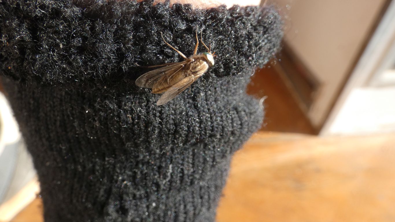
And finally. Could this be a native bee on my sock? The
wind has let up for a while and we begin to see bees within the foliage.
Perhaps not yet ready to venture out to the flowers and be blown away. Just
a theory to perhaps explain our lack of seeing pollinating insects. |
| | | |
 |
|
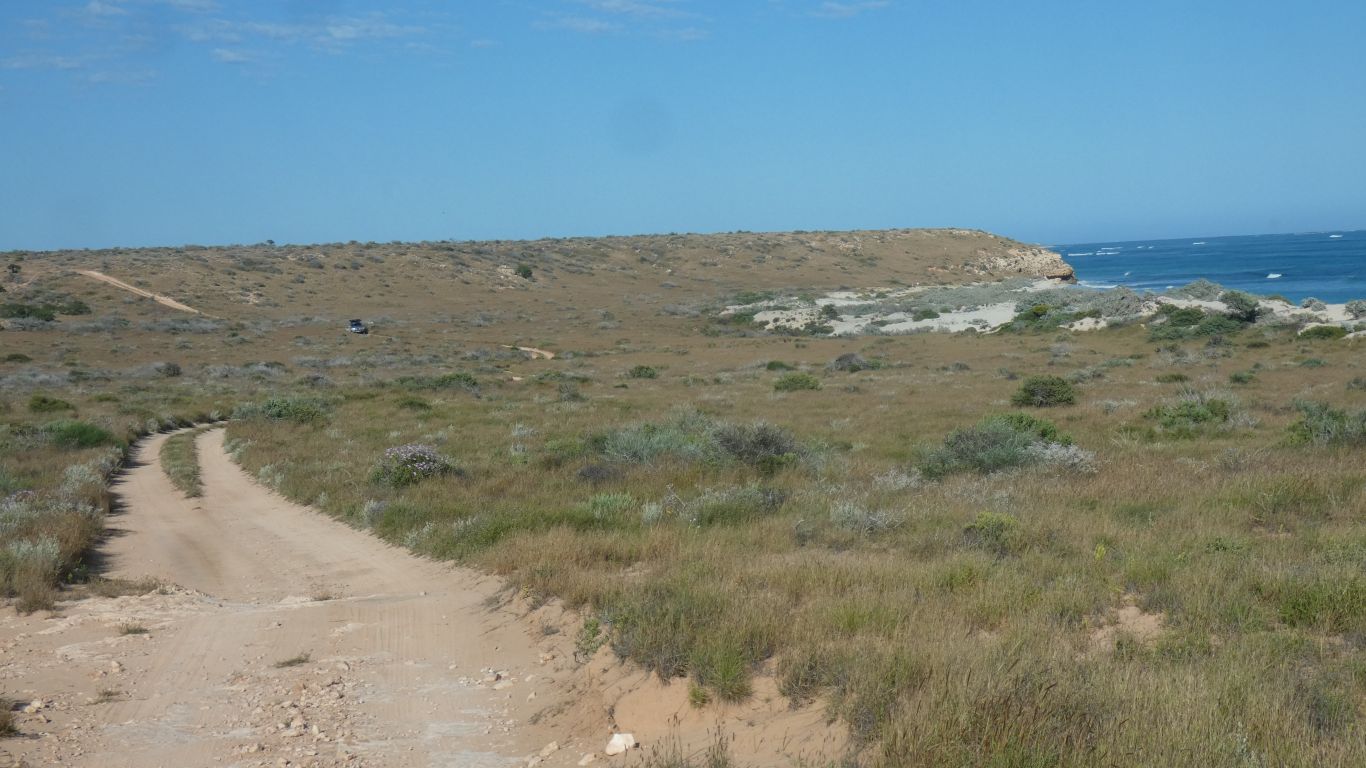
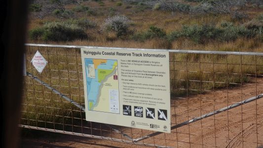
Time to leave. We decide on the shortcut south along the
coast. Worroora Station tell us it is passable, contact Carnarvon Shire
Council. The Council website calls it a road and says its open with caution.
Worroora also tell us people get lost. Our 1:250,000 map on gps is
consistent with the council route. Gnaraloo Station website describes the
track as open.
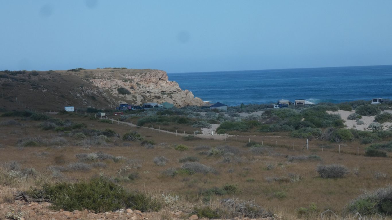
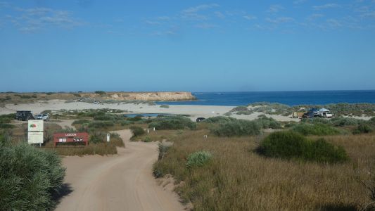
We pass the lagoon again. A different mix of campers. |
| | | |
 |
|
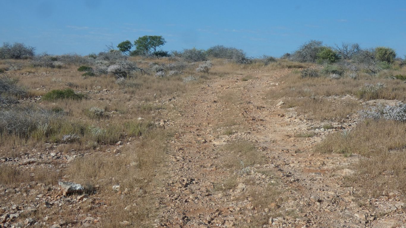
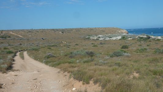
Onto the track along the top of the cliffs. |
| | | |
 |
|
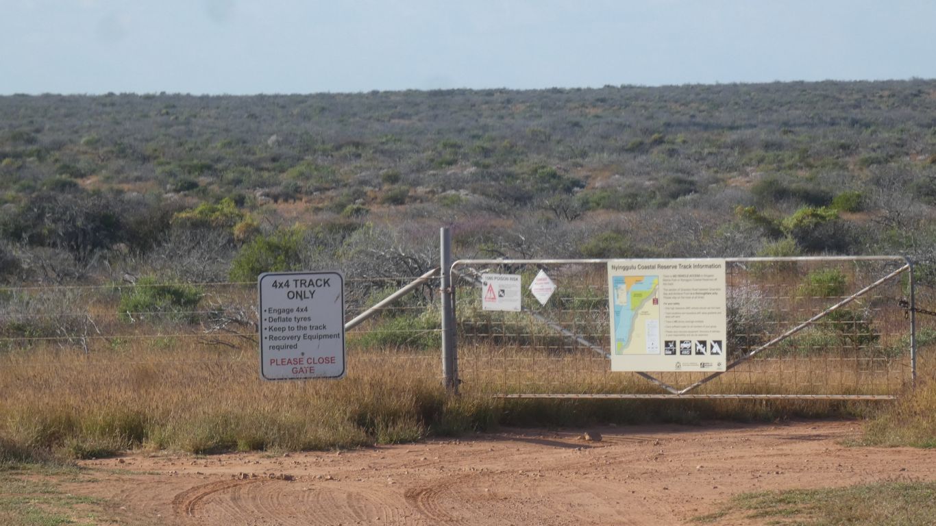
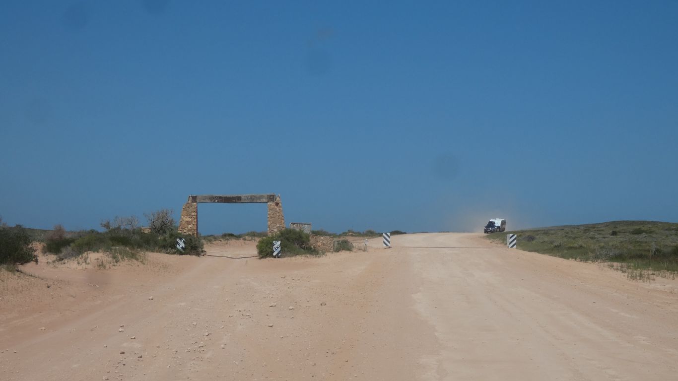
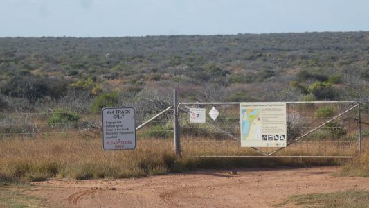
We initially think the gate is telling us its a station
track. We make a detour into Amherst Point campsite. |
| | | |
 |
|
A couple or more surfers in residence. |
| | | |
 |
|
Then back to the gate, with the important bit of info that
the road is a throughway, with no access to beaches or camping. |
| | | |
 |
|
We pass Amherst Point, the southern boundary of Worroora. |
| | | |
 |
|
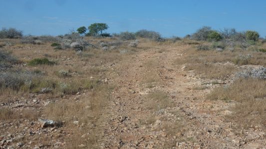
So far so good. A single vehicle traveling north. The track
is a bit steeper than it looks past the vehicle. |
| | | |
 |
|
But not an obstacle. |
| | | |
 |
|
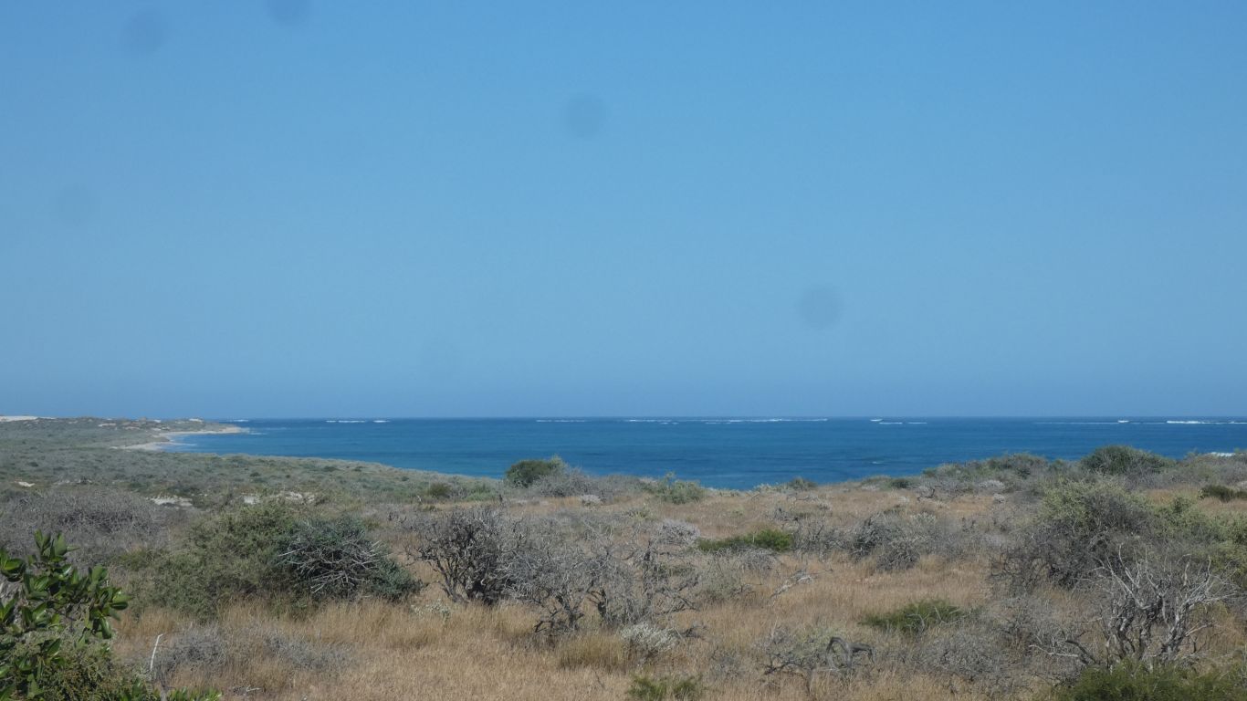
Back on the coastal plain. |
| | | |
 |
|
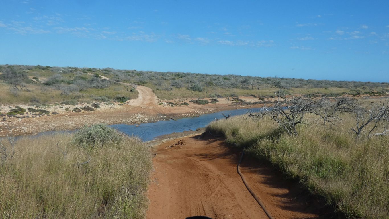
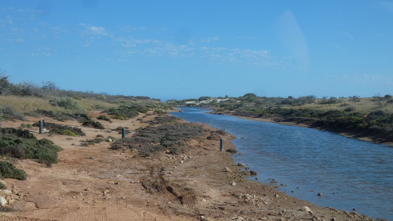
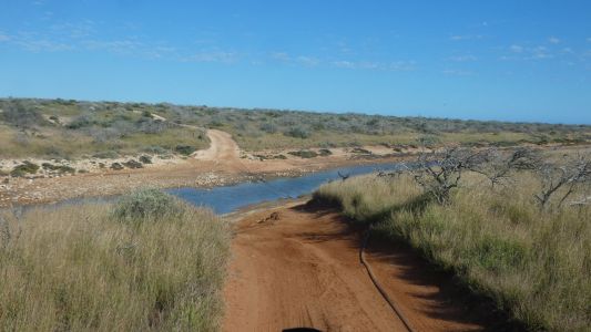
Then down to the only water crossing. This was closed about
3 years ago after a cyclone pushed water inland. |
| | | |
 |
|
Easily passable now. |
| | | |
 |
|
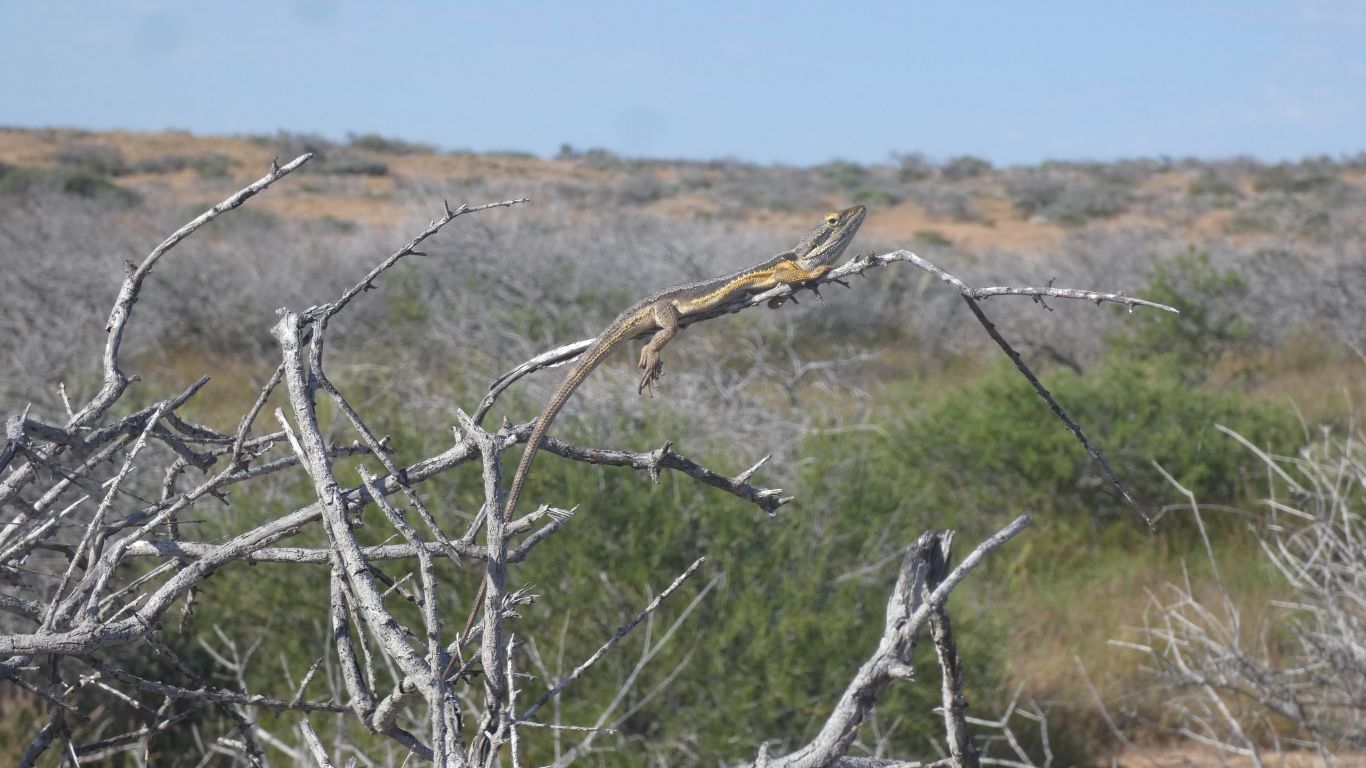
We stopped for what we thought was a bird. We have no idea
what sort of lizard. It ignored us. |
| | | |
 |
|
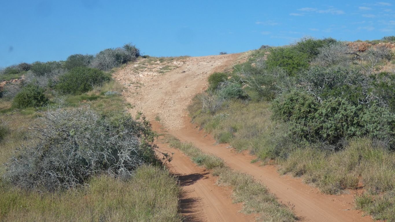
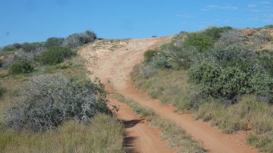
Another steep bit. |
| | | |
 |
|
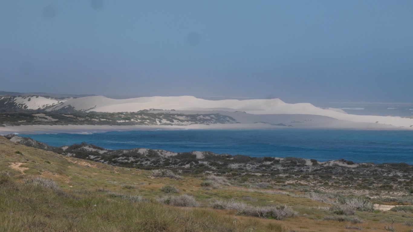
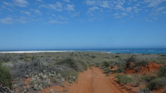
A change in soil. Looking towards Cape Farquhar. |
| | | |
 |
|
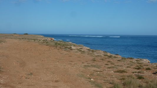
Past the cape, the tracks to it are "management vehicles
only" tracks. No hope of observing whales close to the shore as cape meets
reef.
We stop to stretch our legs. |
| | | |
 |
|
And look back towards the cape. |
| | | |
 |
|
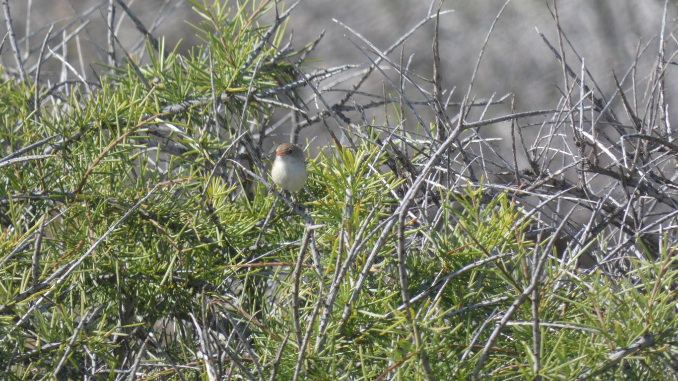
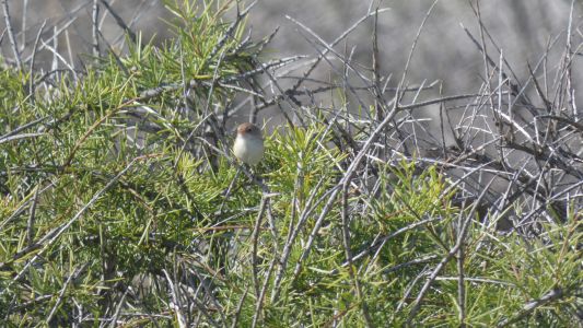
Surprising a flock of wrens. We haven't seen much bird
life. |
| | | |
 |
|
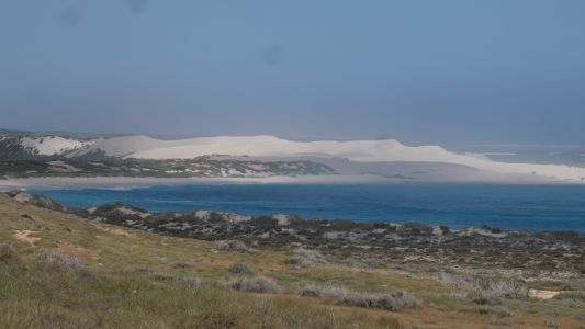
Nearing Gnarraloo. The dunes have been aligned north south,
so occasionally we have been between them. |
| | | |
 |
|
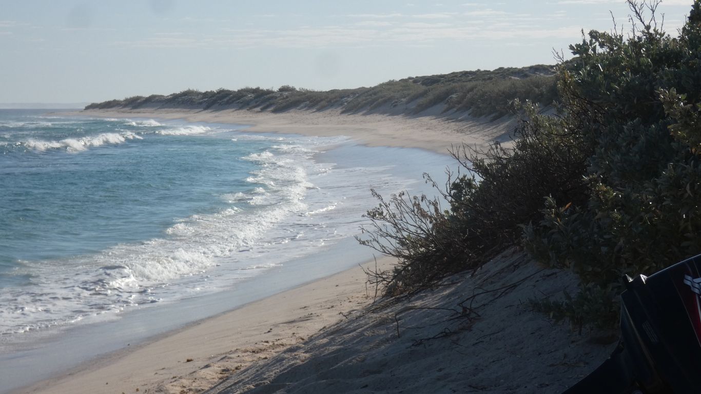
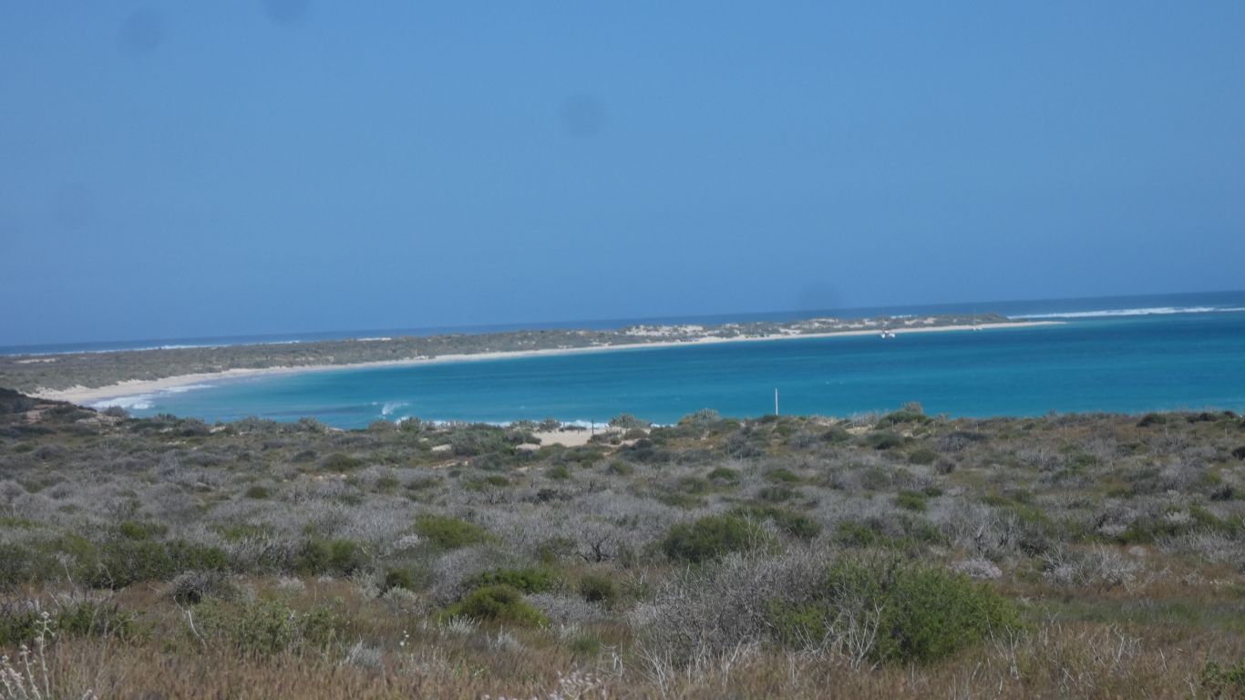
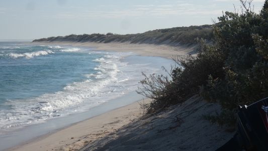
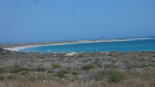
Then Gnaraloo Bay. Sheltered looking.
A couple of catamarans anchored. |
| | | |
 |
|
We pass Gnaraloo Station, and meet civilisation in the form
of a caravan heading north. |
| | | |
| Quobba Blowholes and Hamelin Pool |
|
September 3 - 4 2024 |
| | | |