| |
|
|
| Point Malcolm |
 |
September 20 2024 |
| |
|
|
 |
|
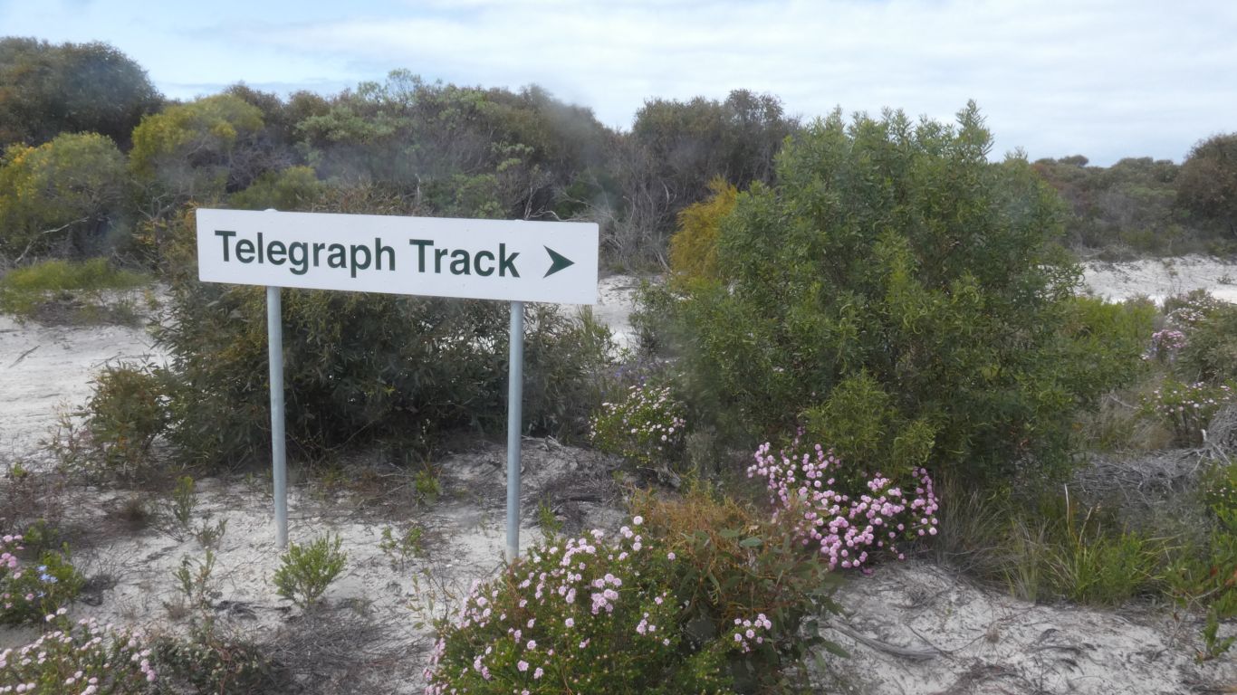
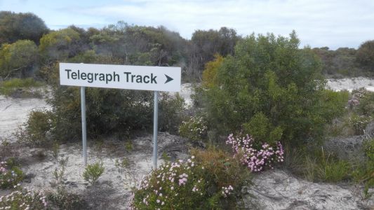
The Telegraph Track, part of a 19th century telegraph from
Esperance to Adelaide, is less known, and less documented, than Queensland's
Cape York, or our recently traversed Canning Stock Route. We've pieced our
route together from a few websites and videos from people who have driven
parts of it, and of course maps.
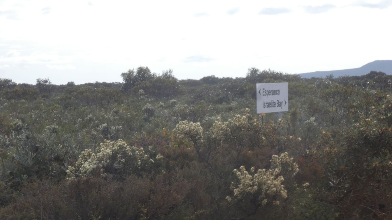
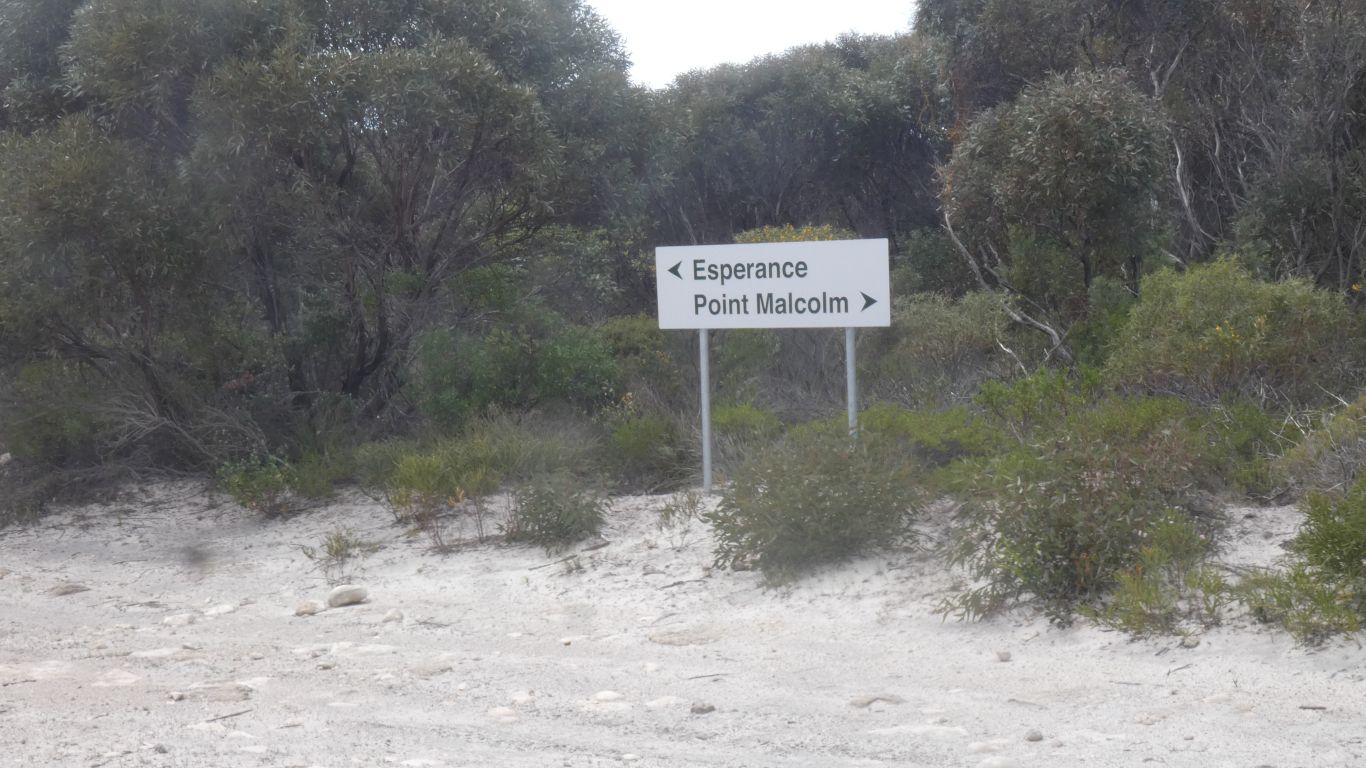
Our starting point is the Fisheries Road, from Esperance to Israelite
Bay. It becomes a track on entry to Cape Arid National Park.
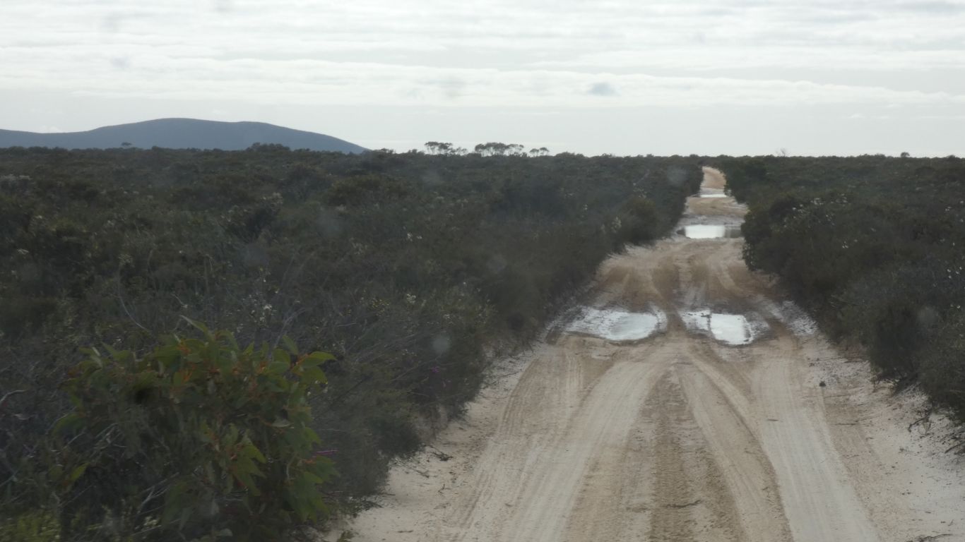
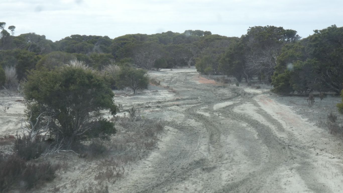
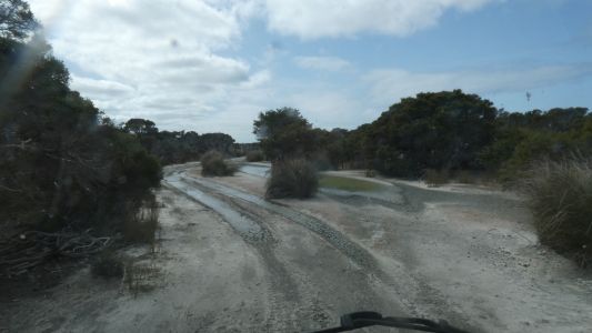
The floor of the soggy bits is solid.
So far so good ..... |
| | | |
 |
|
A good sign .... as they say. |
| | | |
 |
|
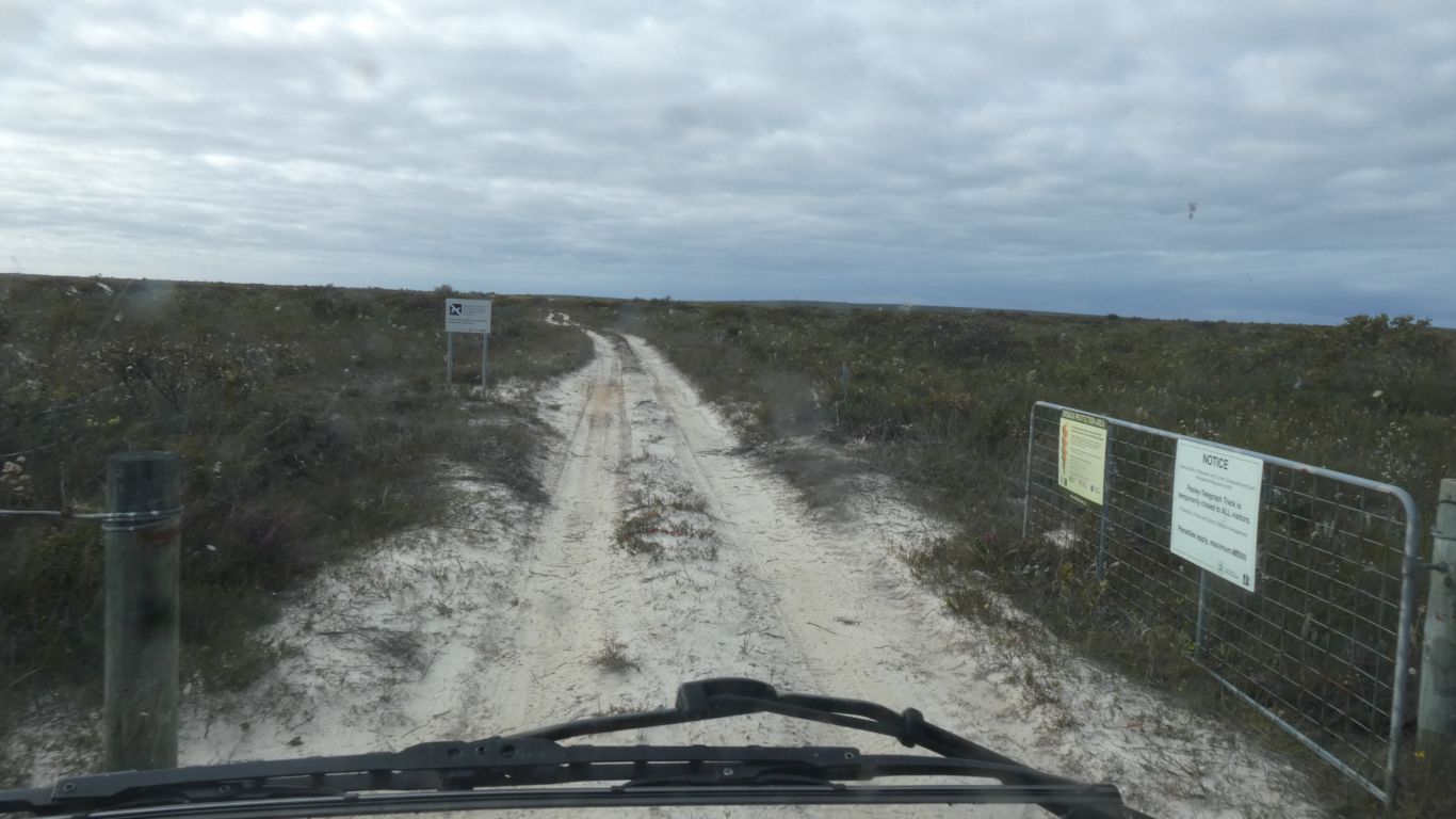
The gate is open. The big yellow sign at Esperance said
Pasley - Telegraph Track open. The National Parks website alerts don't say
its closed. The notice board at Yokinup Mia Mia campsite (next to our
Belinup campsite) said it was open. All good then ....... |
| | | |
 |
|
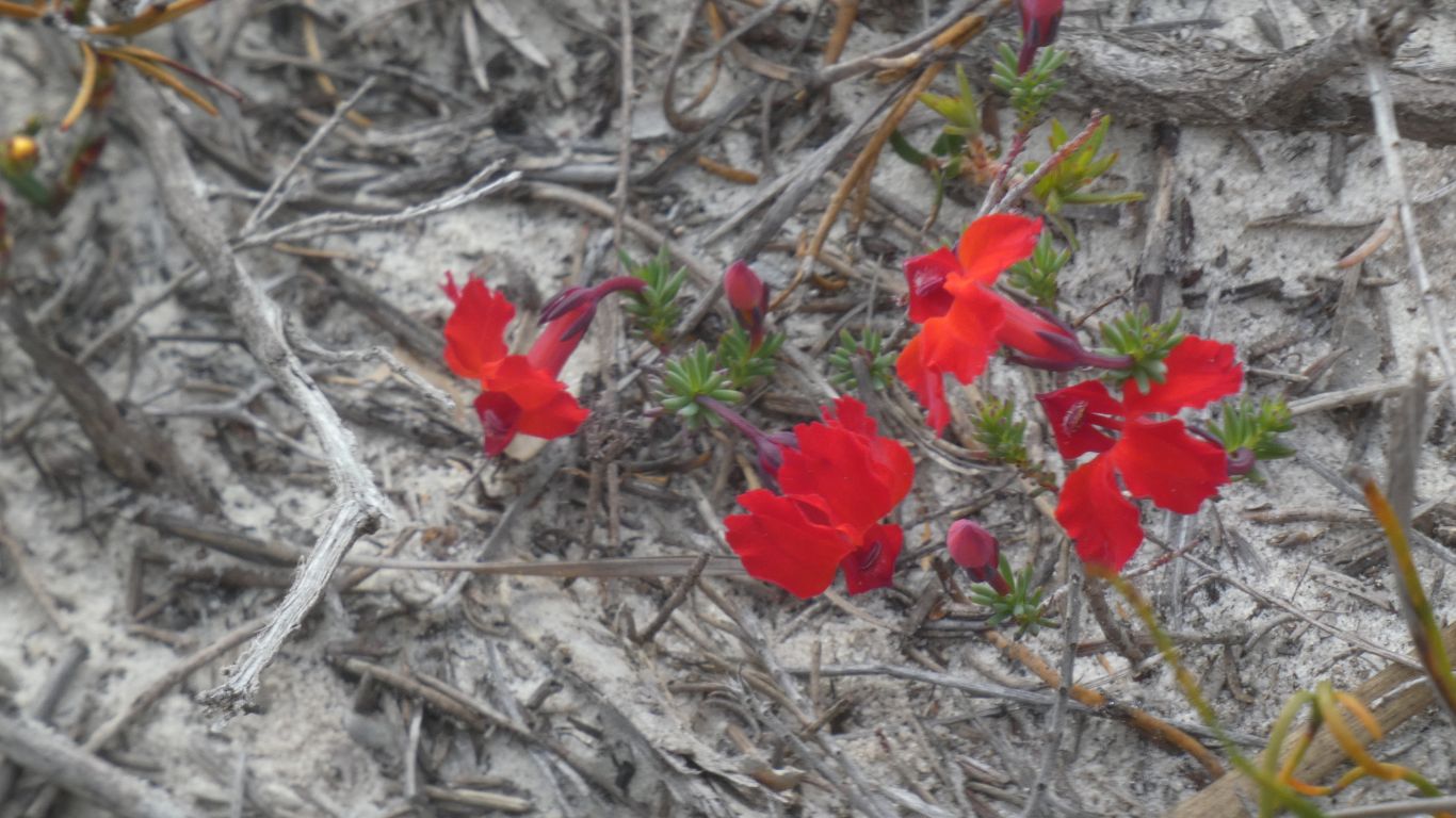
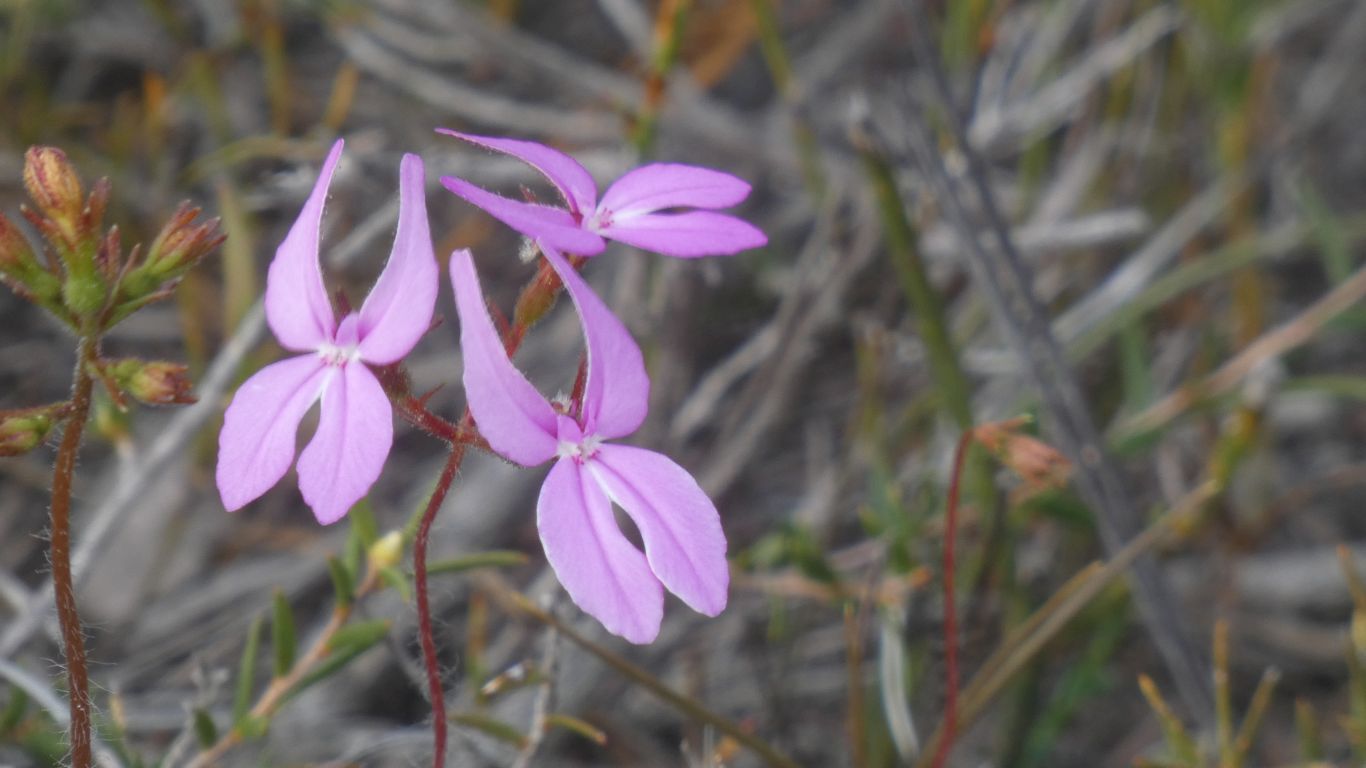
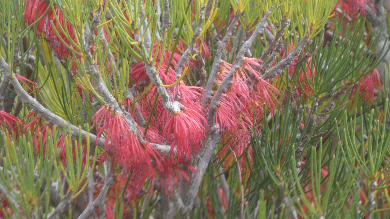
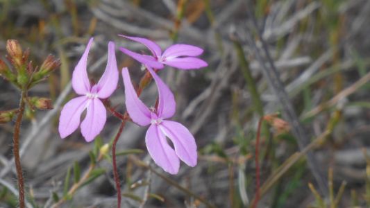
We didn't expect to come to a grinding halt so soon. We
can't resist a flower we haven't previously encountered - though we may
have, we are on "flower overload". |
| | | |
 |
|
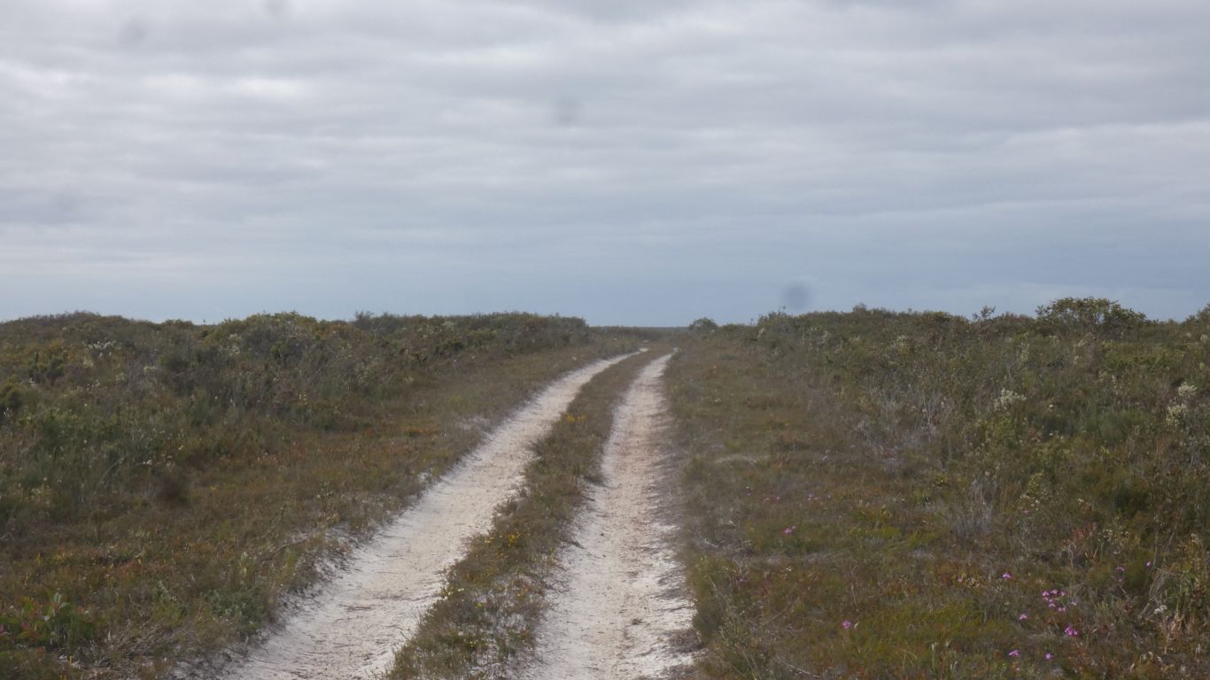
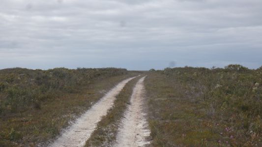
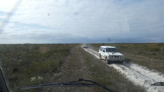
The track is relatively easy going. Rolling. Soft sand
alternating with harder track. Corrugations occasional but hardly worth a
mention.
We could have stayed on the Fisheries Track all the way. But "the gossip"
says its shorter so more often traveled and not in good condition. We may
never know.
We notice the vegetation either side of the track has been trimmed. |
| | | |
 |
|
More rapid stops. |
| | | |
 |
|
Not the average 4wd adventure camper. No rooftop tent, no
awning. Fishing.
We later see where they had joined the track from the coast. Across a
boggy looking salt lake. |
| | | |
 |
|
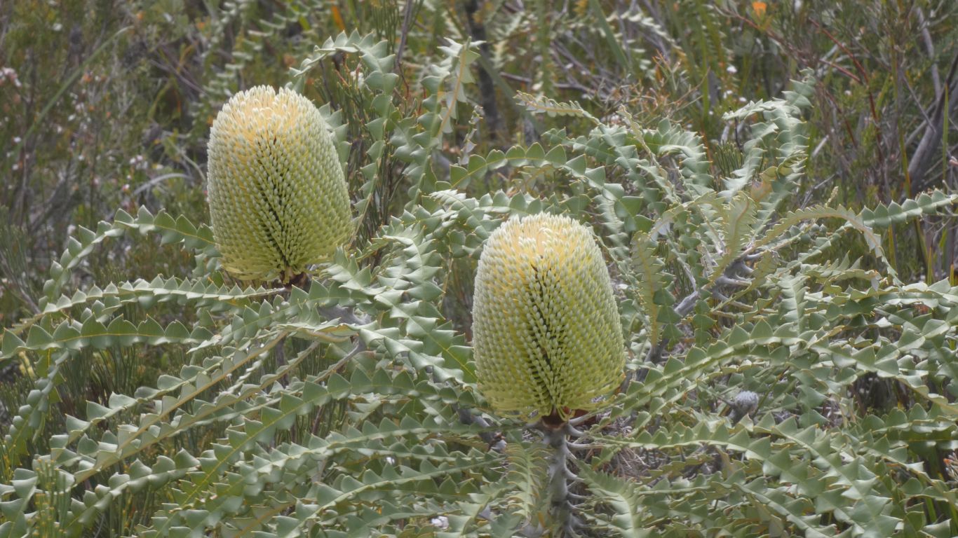
Banksias. A bit of research, they are seasonal. Flowering
late spring into early winter.
These plants haven't read the research. Its early spring. |
| | | |
 |
|
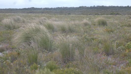
Tussock. On the map it looks like this area is a little
more damp. As opposed to elsewhere a little less damp. We are in a hollow. |
| | | |
 |
|
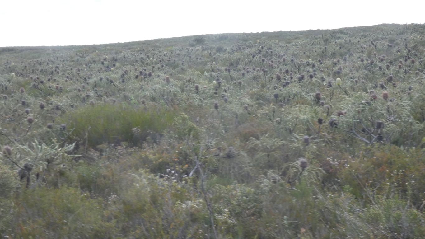
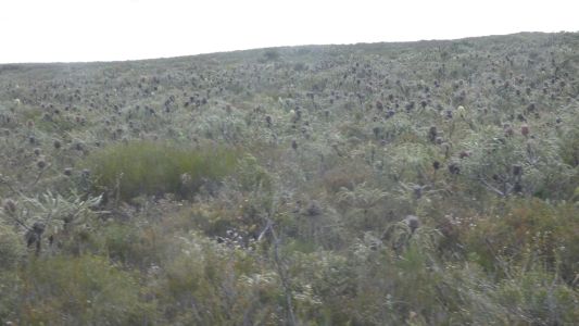
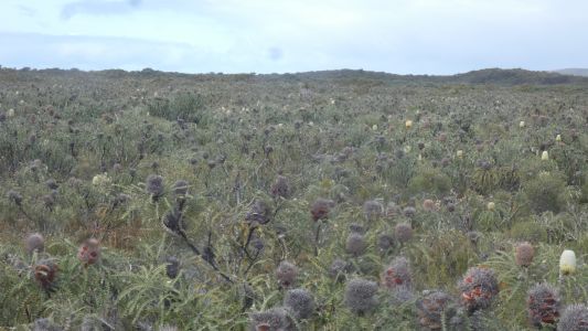
Wow. Banksias forever.
We try to imagine them all in bloom. |
| | | |
 |
|
In all directions. |
| | | |
 |
|
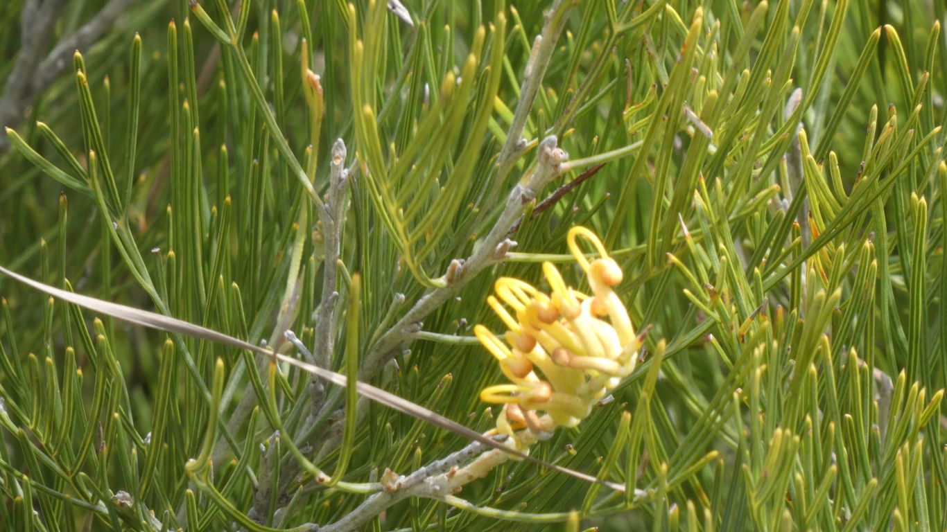
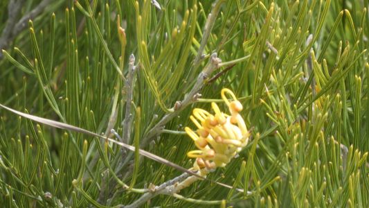
While hidden amongst is yet another "new flower". |
| | | |
 |
|
How much variation on the basic flower structure is
possible .... simple answer, endless. |
| | | |
 |
|
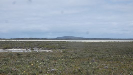
The hills are too low to register on our contour maps.
The lake is marked. |
| | | |
 |
|
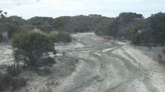
The track is not quite dry. And a little deceptive. |
| | | |
 |
|
We took the left option. A little slidey (is there such a
word). But traction sufficient to keep us moving. |
| | | |
 |
|
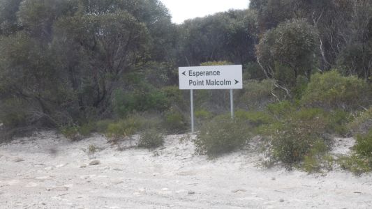
Telegraph Track meets Point Malcolm Road. Pointing whence
we came. If the next week or so is as well signposted we will be very
happy. |
| | | |
 |
|
We choose Point Malcolm. |
| | | |
 |
|
A slight detour, we took a track towards the beach too
soon. It took a while to work out this may be a dead vehicle.
Hopefully not prescient. |
| | | |
 |
|
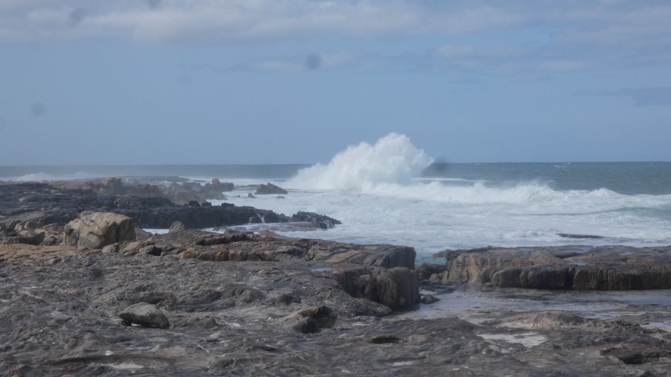
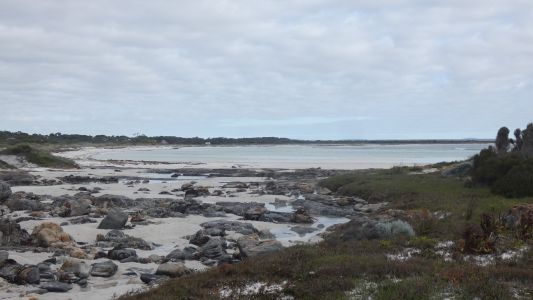
The campsite is about 1km from the point. Wisely so.
The point shelters the bay, the outside open to the large waves of the
southern ocean. |
| | | |
 |
|
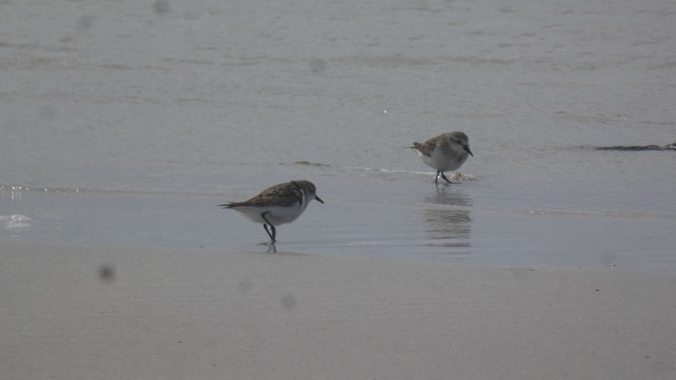
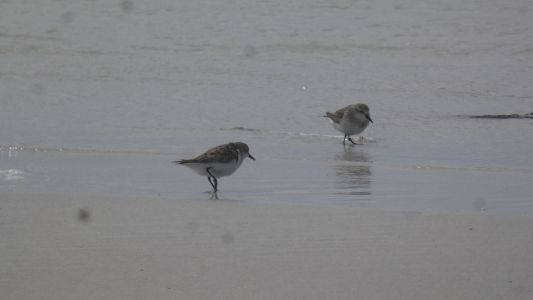
New to us .... not dotterels ... but related .... ....
there were four .... we think non-breeding ruddy turnstones. |
| | | |
 |
|
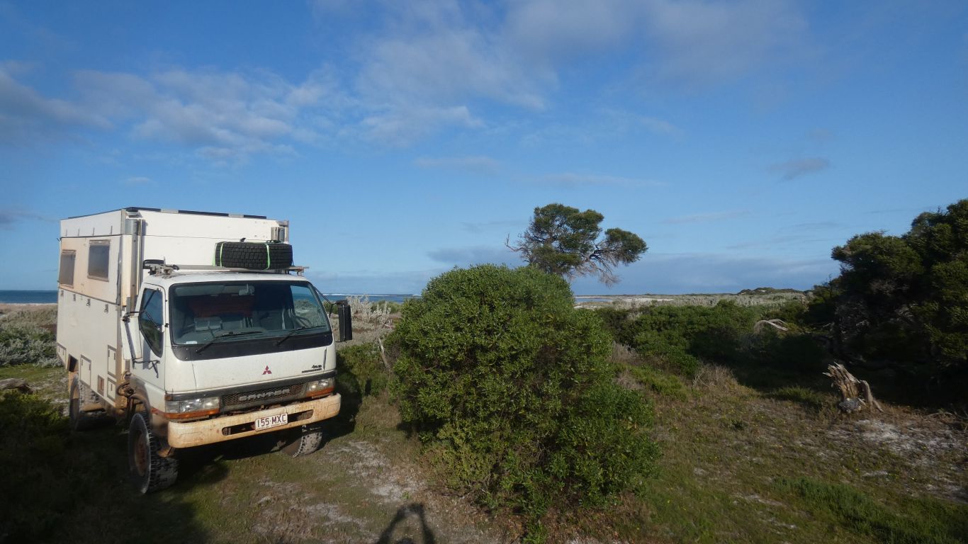
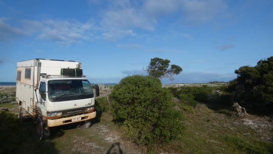
We bask in the afternoon sun. The Malcolm Point behind the
truck. |
| | | |
 |
|
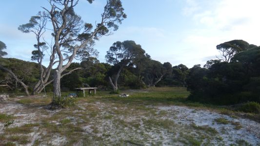
The more sheltered part of the campground. Must have been
a bit damp. Pics we've seen show it bare. |
| | | |
 |
|
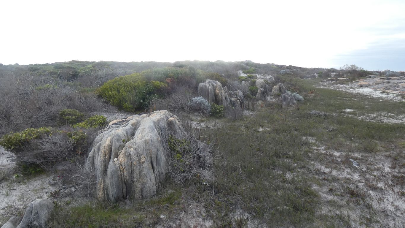
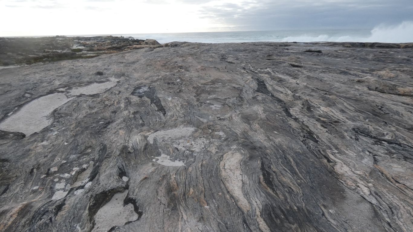
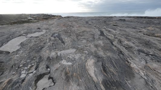
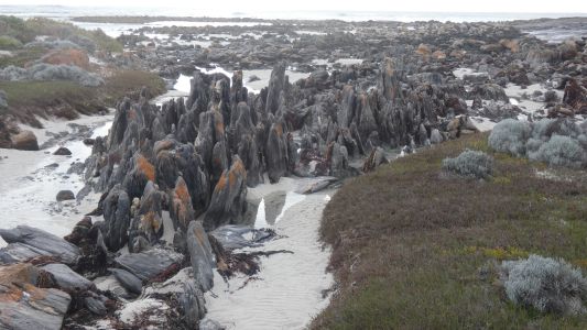
Gneiss. Easily distinguished this time. The patterns and
erosion a tad different. So perhaps origins in sedimentary rocks. |
| | | |
 |
|
Pretty. |
| | | |
 |
|
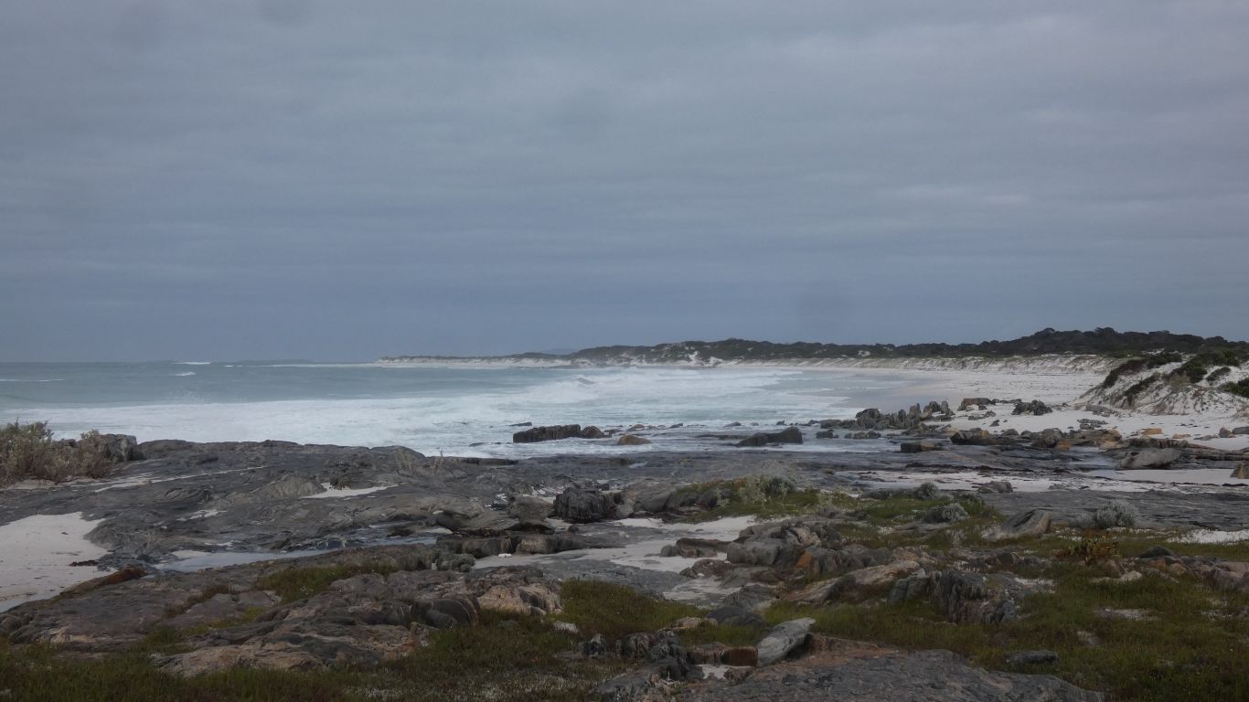
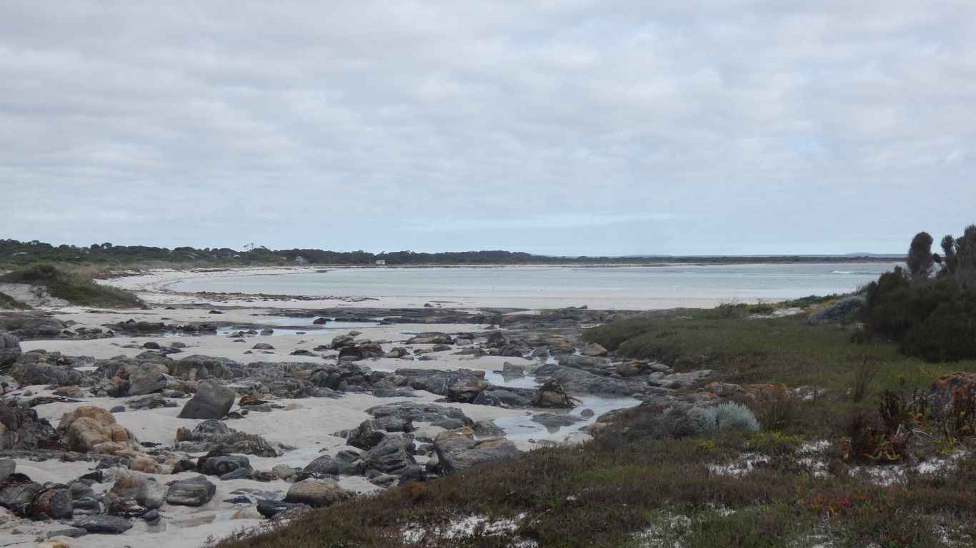
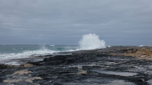
Looking south, the next beach. Exposed. |
| | | |
 |
|
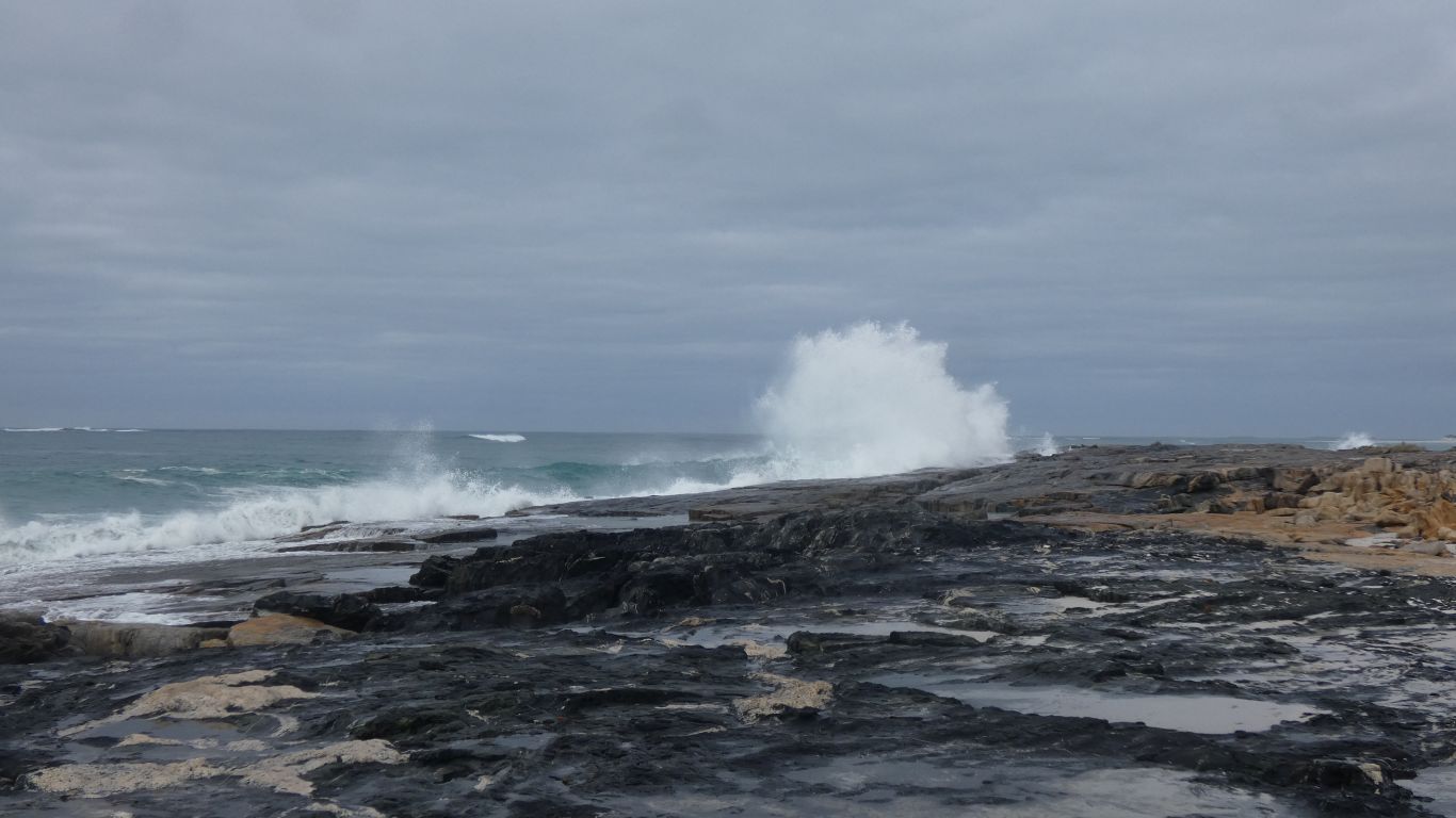
We stay away from the edge. Let the waves do their work. |
| | | |
 |
|
Truck in the distance, more or less centre. About a km. |
| | | |
 |
|
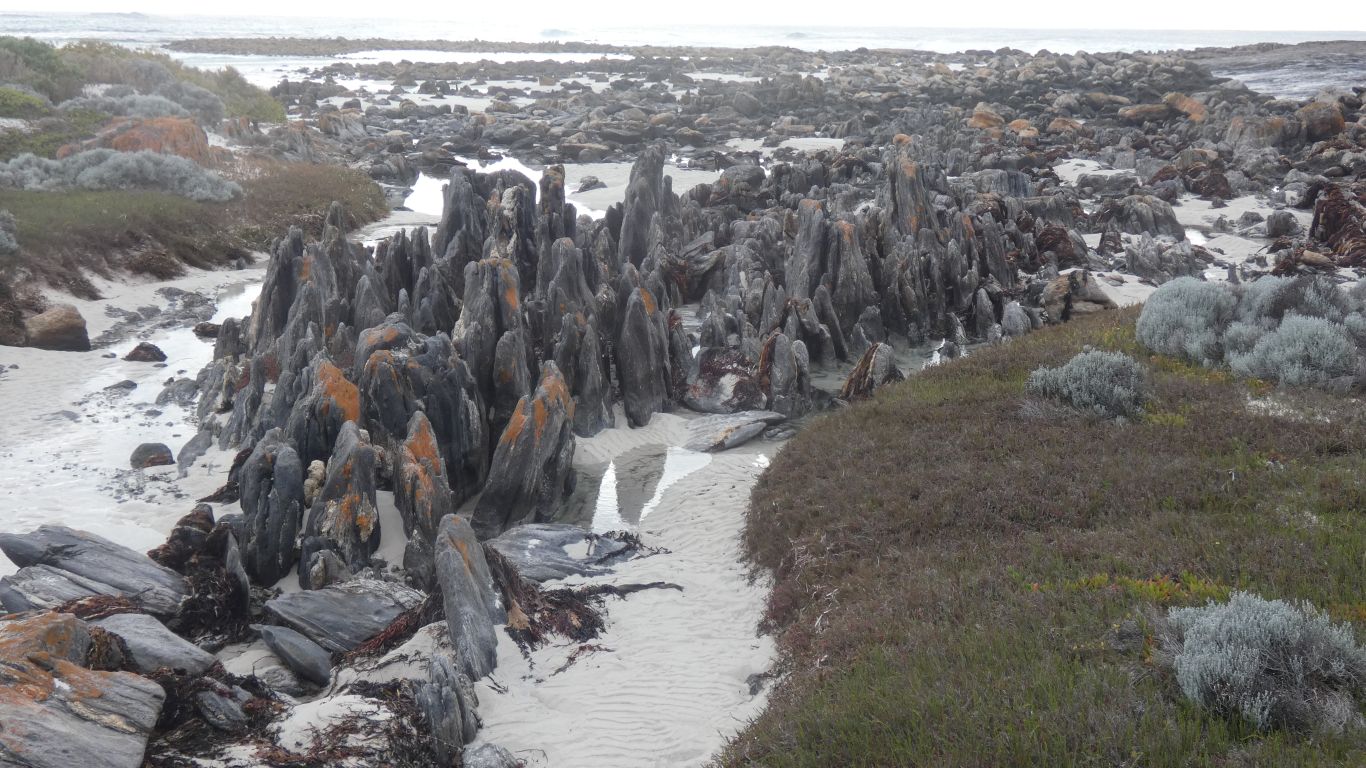
Karst like? |
| | | |
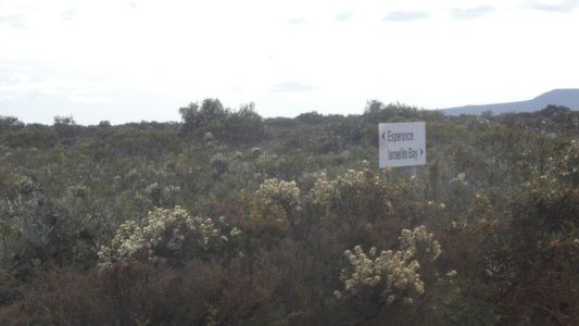
| Israelite Bay |
|
September 21 2024 |
| | | |