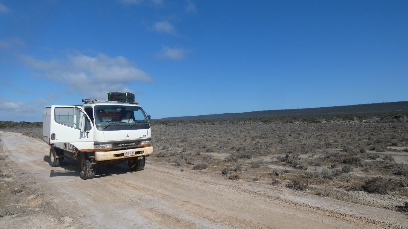
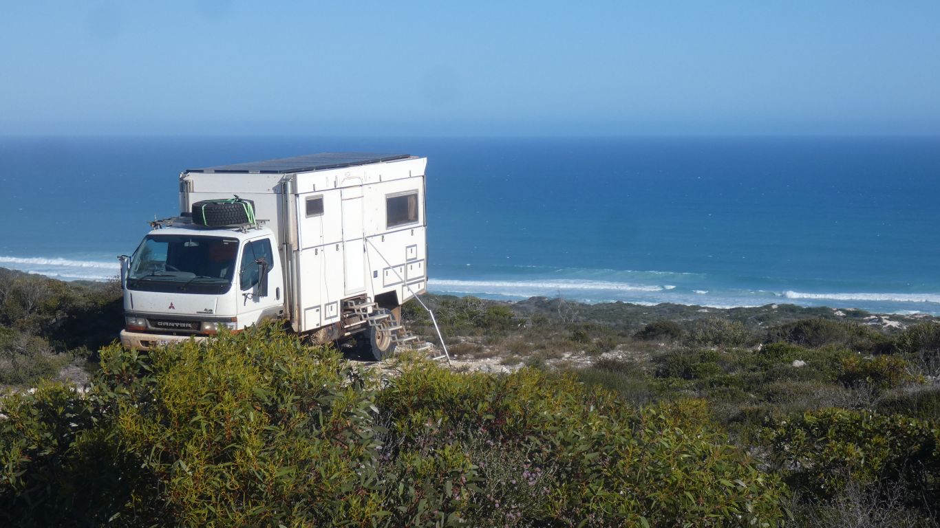
Basically leave the jetty and turn north on the most likely looking track.
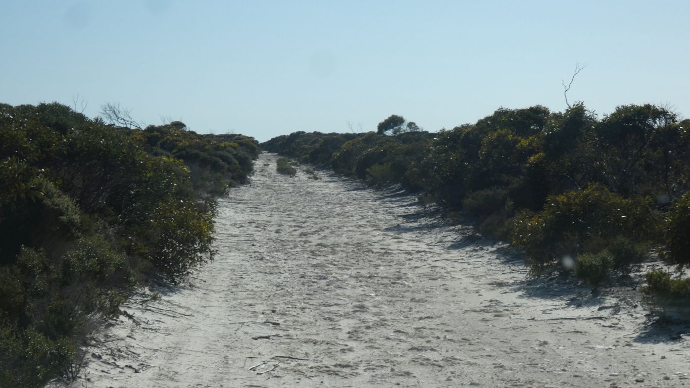
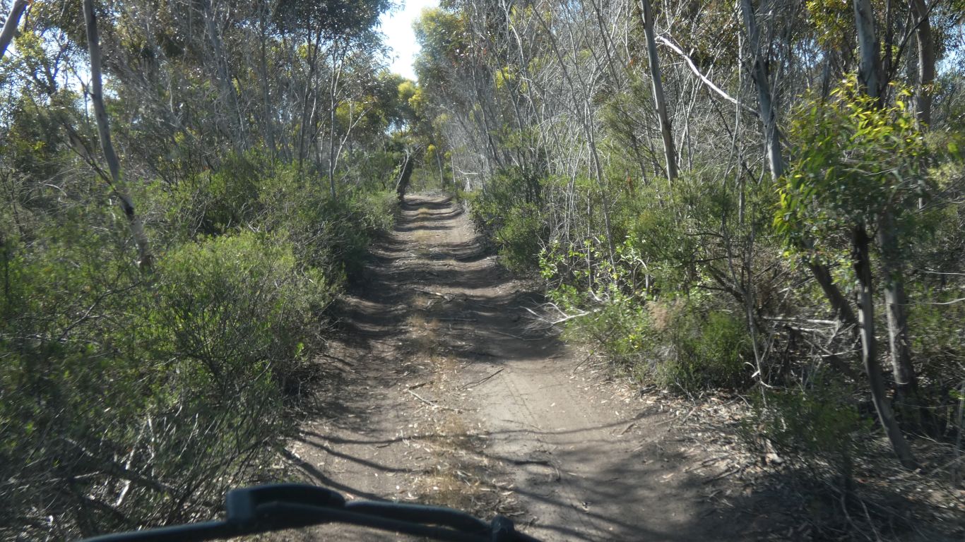
Easy going.
At the start.
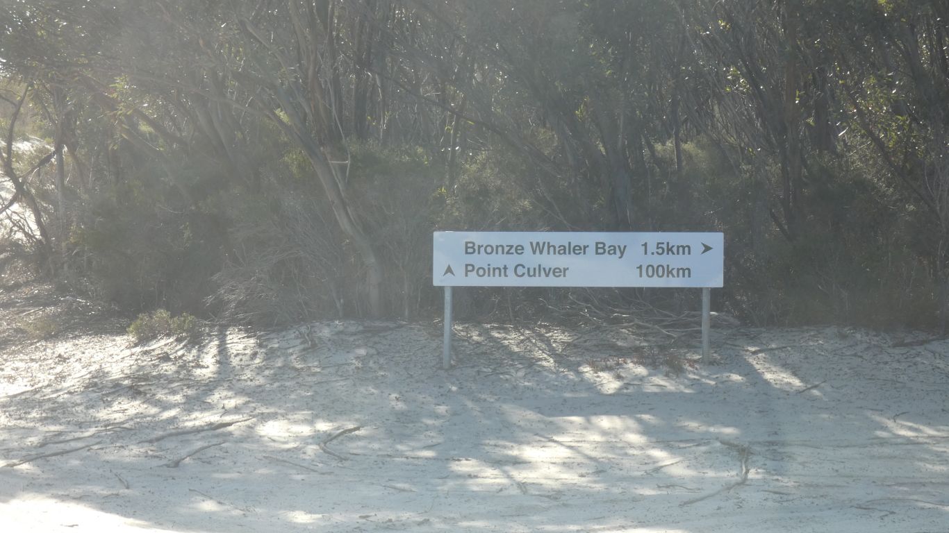
We want Point Culver.
Although flat they were potholed. With occasional damp patches. Less occasionally wet patches with by-passes.
We drove cautiously.
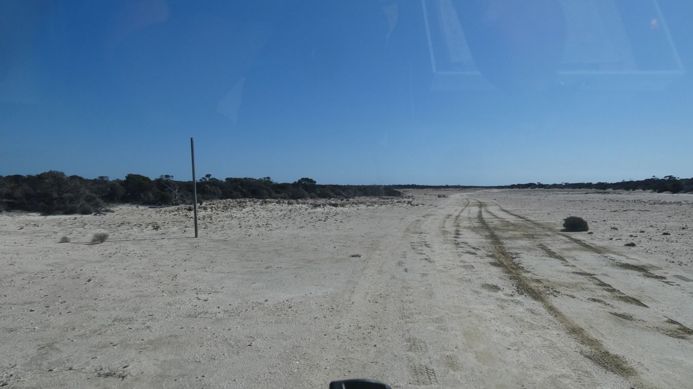
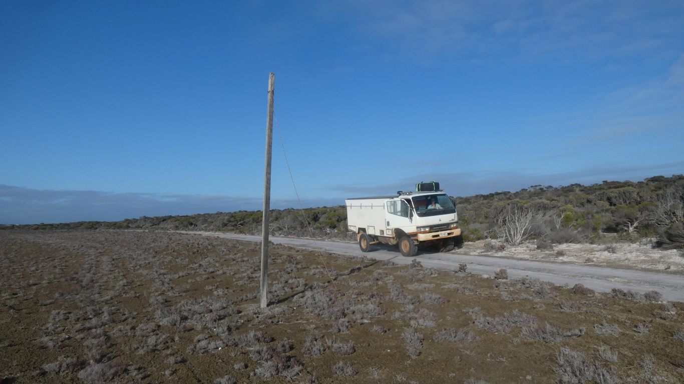
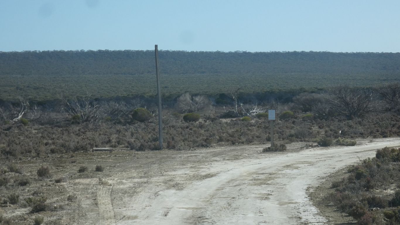
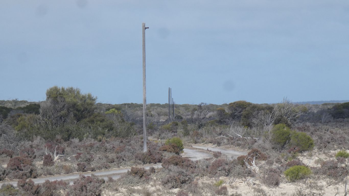
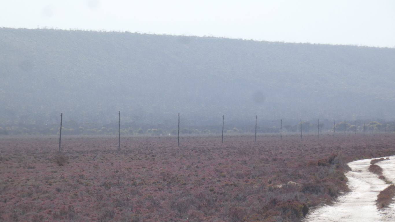
We also begin to see old telegraph poles.
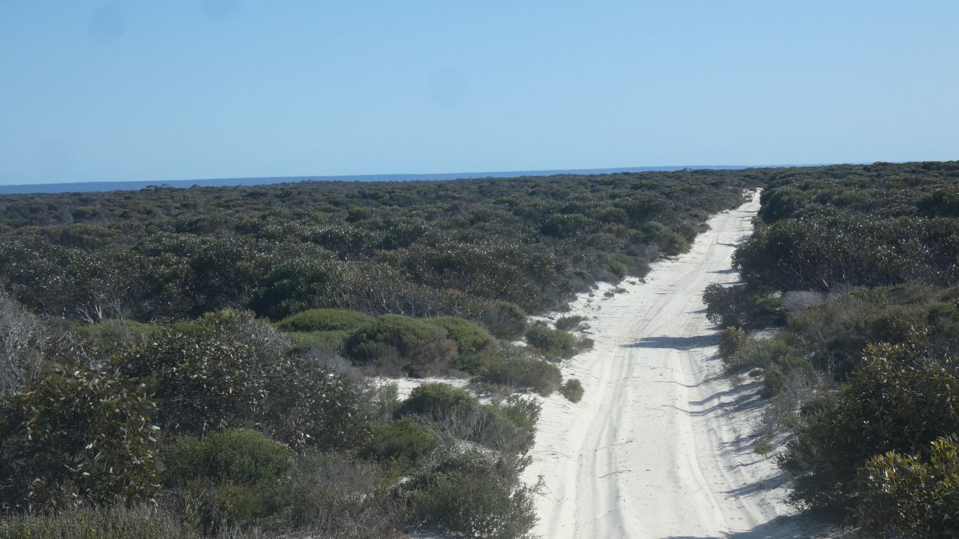
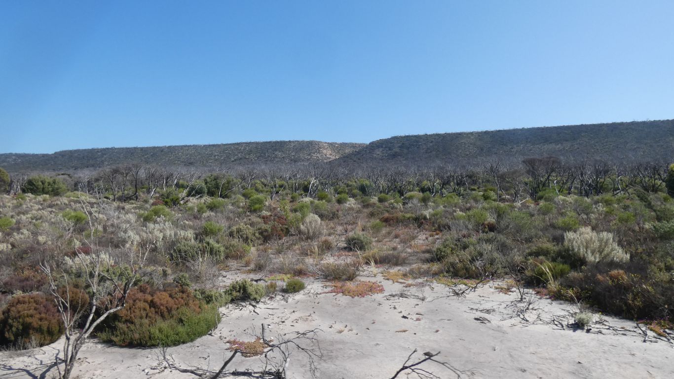
We've drove north on the other side of the dunes, then turned south at a junction, to look for Wattle Camp.
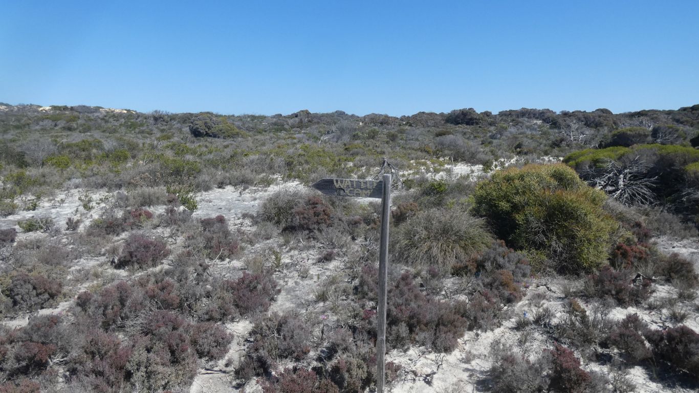
But the camp is small, a bit untidy, tucked in vegetation next to the dune.
We suspect, with absolutely no evidence, that Wattle Camp would be for linesmen. Access to the north more reliable, and passable, than the track from Israelite Bay.
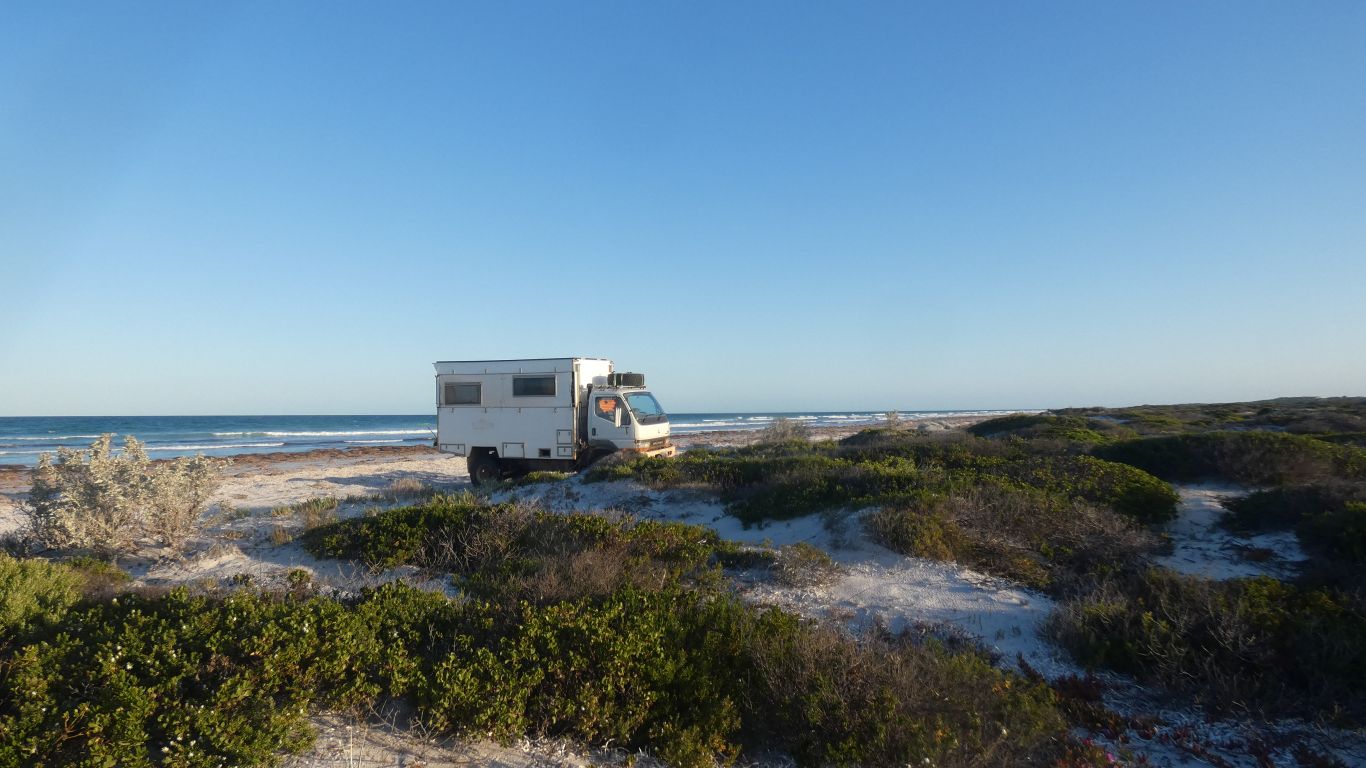
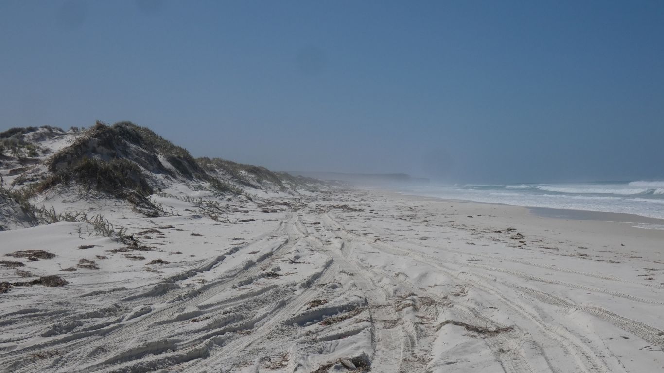
Windswept, of course.
The beach has a thick covering of dead seagrass.
We got some exercise walking back to the campsite and along the beach in a loop.
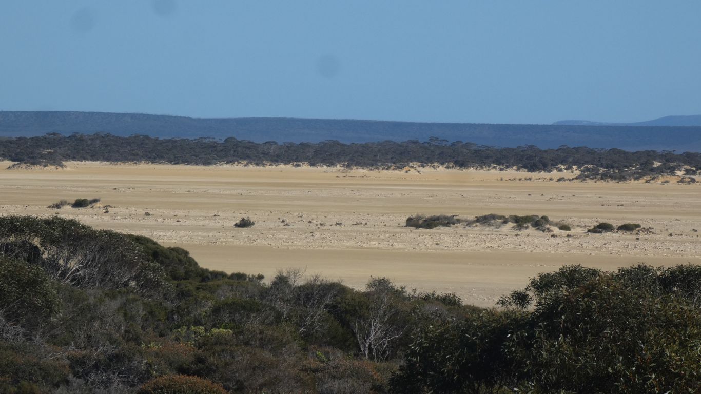
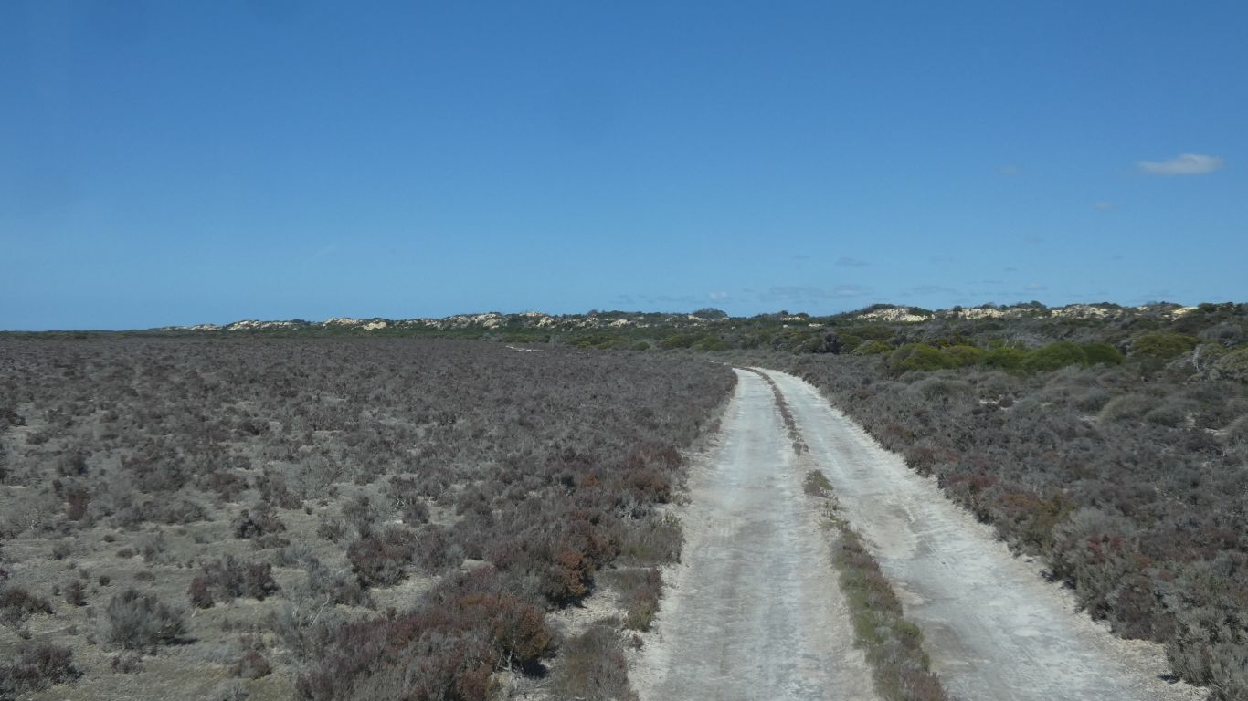
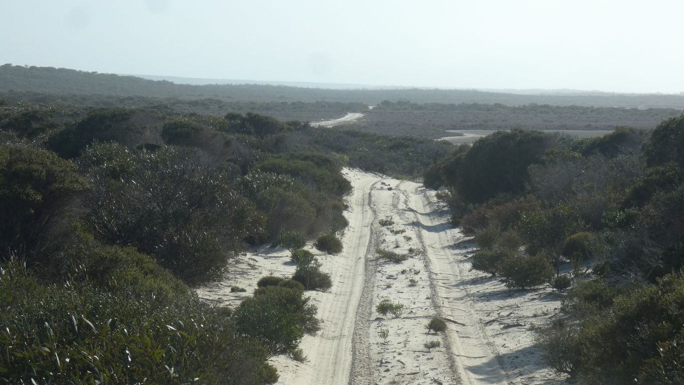
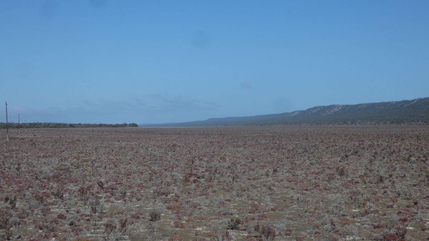
Long lengths through dry lakes on solid looking ground.
And more telegraph poles.

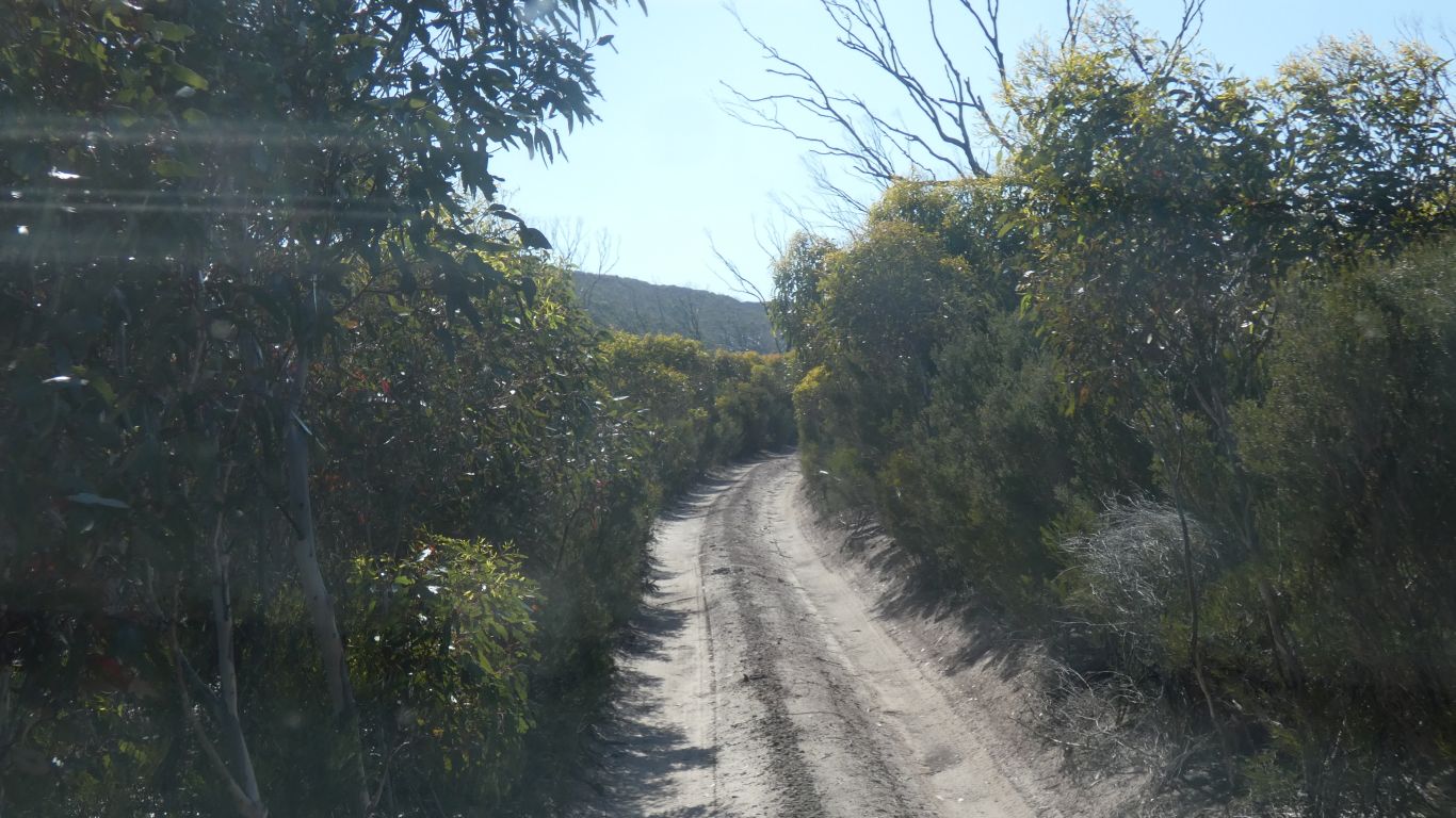
We opt for inland.
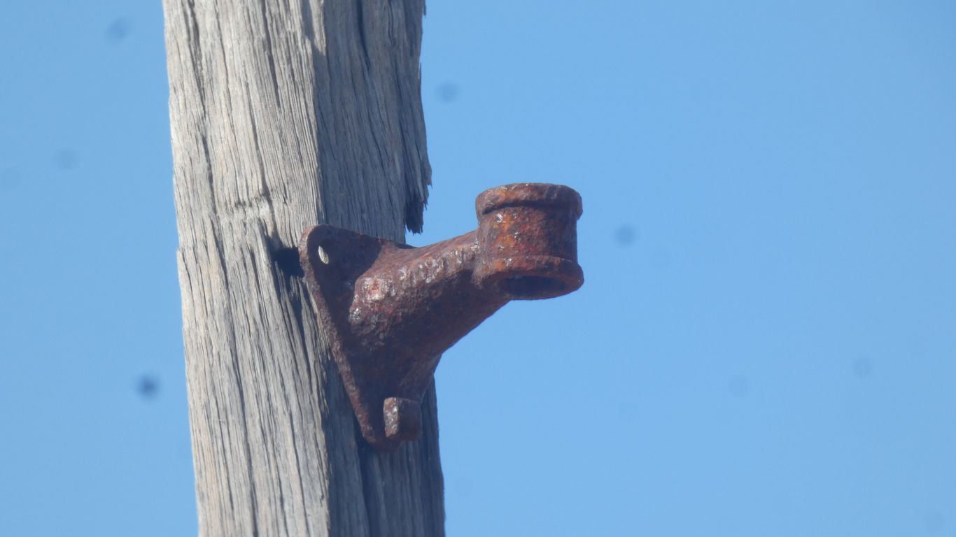
A single wire.
I heard that the line was later upgraded to two and then three wires. But I haven't seen any physical evidence.
In 1895 the single wire line was upgraded from simplex operation (transmission in only one direction at a time) to duplex (simultaneous sending and receiving).
In 1896, as traffic increased, quadruplex apparatus was installed. However, the salt encrusted line had high electrical resistance so could only be operated as triplex.
For the 1290km line, that would be 12,900 poles.
Seasoned jarrah poles. Brought by ship. South Australia used wrought iron Oppenheimer poles due to lack of wood.
Where there was no wharf the poles were floated ashore.
Presumably insulator mounts, bolts, insulators, and the all important wire, tied to the floating poles. Or perhaps carried along the track.
12,900 insulator holders, 38,700 bolts, 12,900 insulators, 12,900 of whatever used to attach insulators to holders, 12,900 short bits of wire, 12,900 km of wire.
It would be miles and yards of course. But near enough. A few spares would be required.

The relatively soft wire is apparently useful in modern times for emergency repairs.
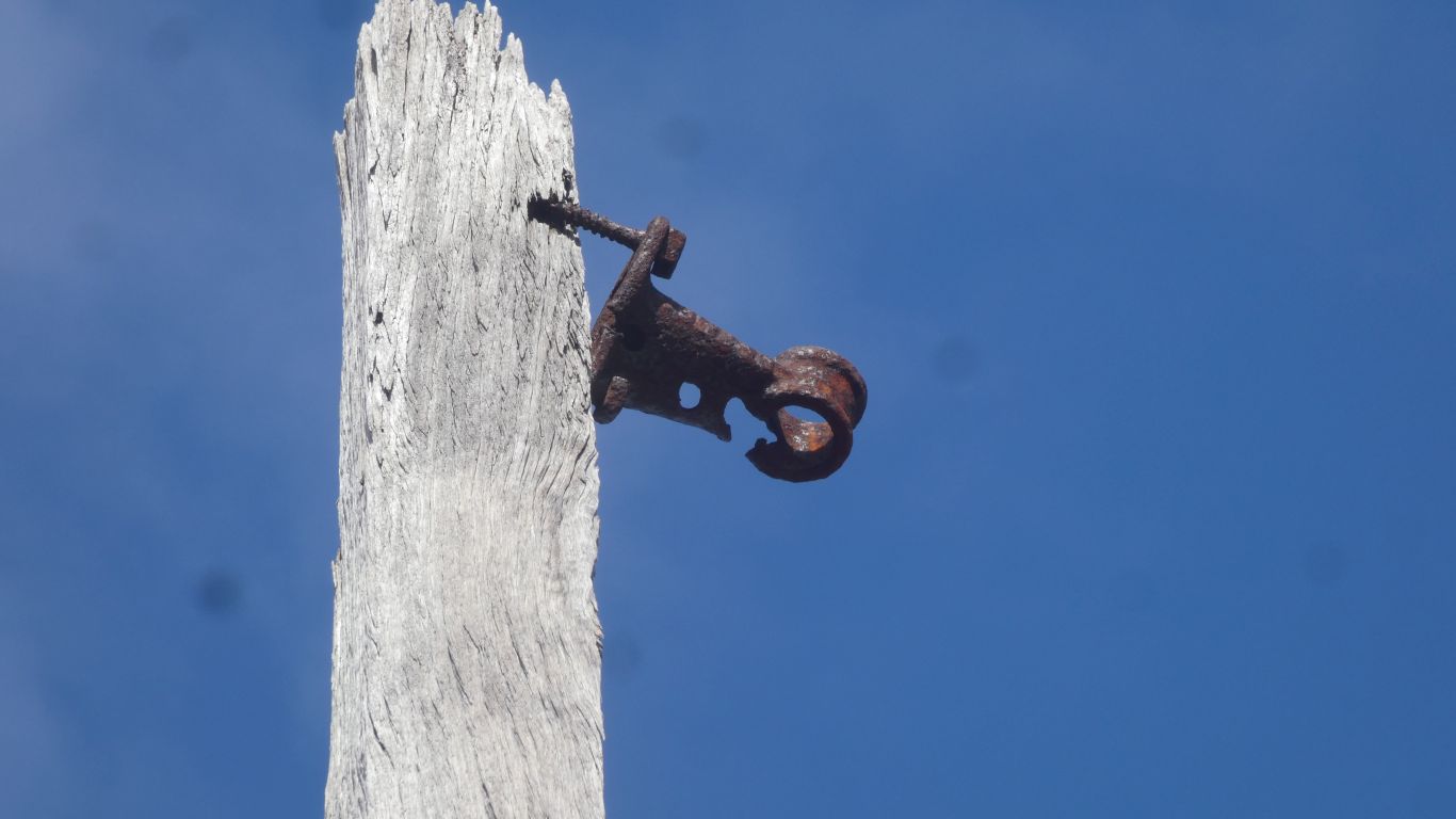
Possibly the difference in thermal expansion of cast iron and porcelain eventually destroyed the insulators.
Proximity to the coast also meant corrosion and salt deposits on the insulators resulting in voltage drop and requiring line maintenance.
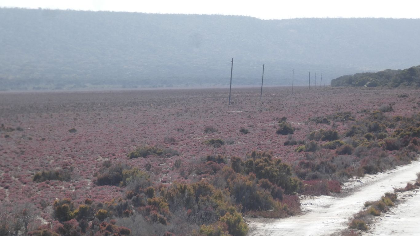
Its easier to see the poles looking into the sun.
The line was surveyed at the same time it was being built. Scouting up to 20km ahead.
One of the scouts was Tommy Windich. The same who's name was given to Windich Spring we visited on the Canning Stock Route. Tommy died in 1876, buried in Esperance.
So near yet so far.
Seems our choice of beach or telegraph track was a choice of poles or dunes.
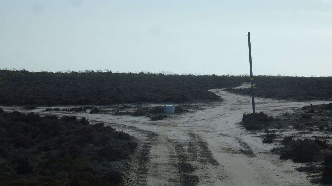
The junction has a parks board map. An addition to the map we have seen at other places has a "you are here" as Point Culver.
We think not, we are a few km short.
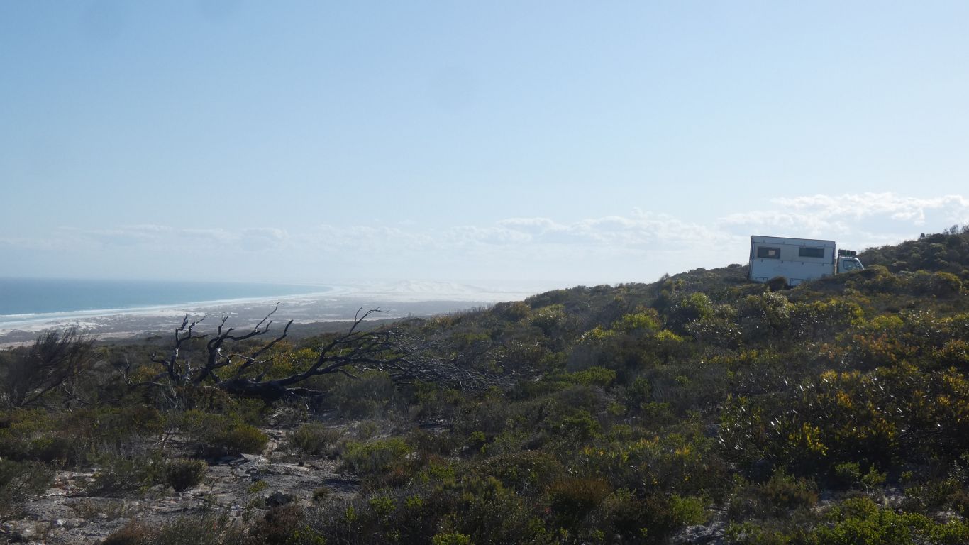
There's a campsite at the junction.
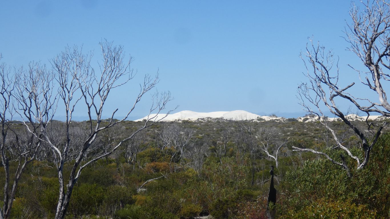
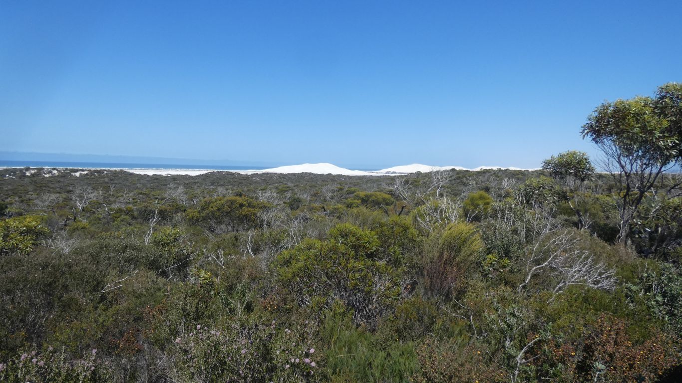
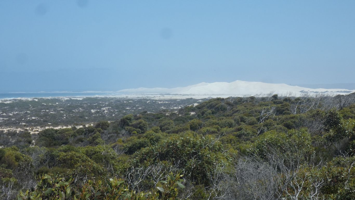
We find a track behind dunes parallel to the beach towards the big dunes.
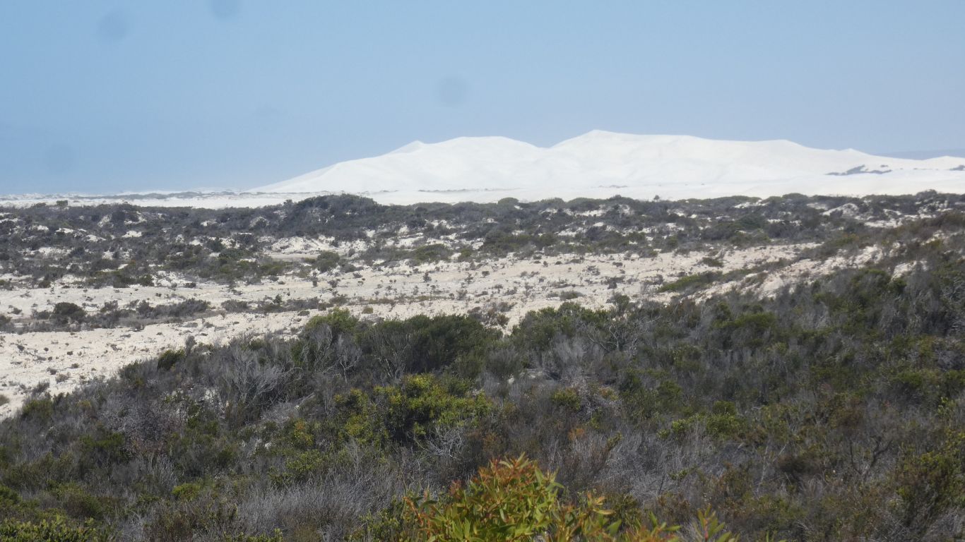
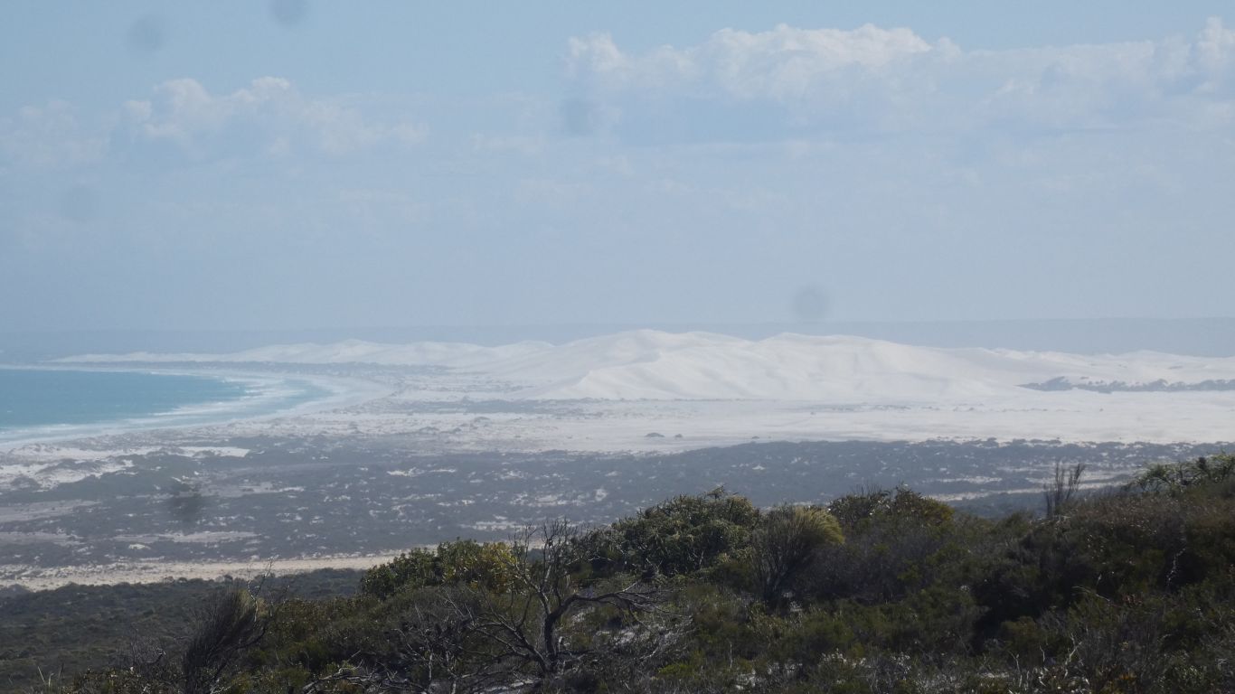
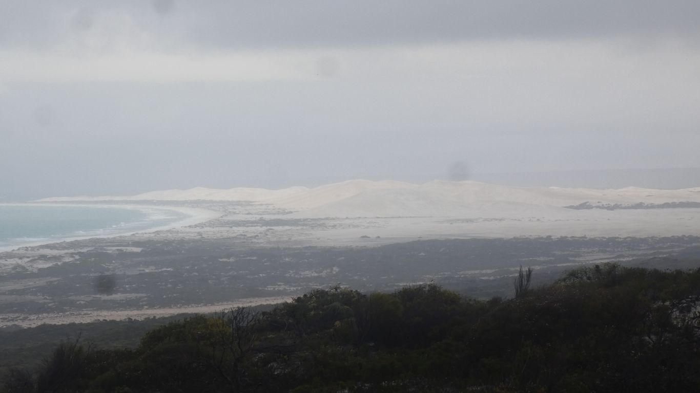
The deserts of central Australia have longitudinal dunes. Formed by the prevailing wind. There are also parabolic dunes, such as at Mutawintji.
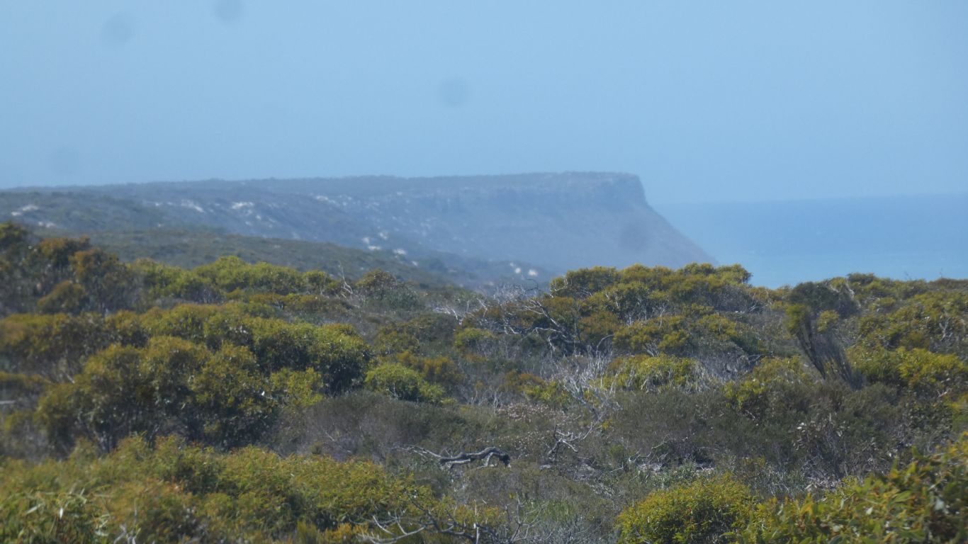
The Bilbunya Dunes in the picture are star dunes. Battered by winds from all directions. No vegetation, they are "alive". They grow upwards and outwards.
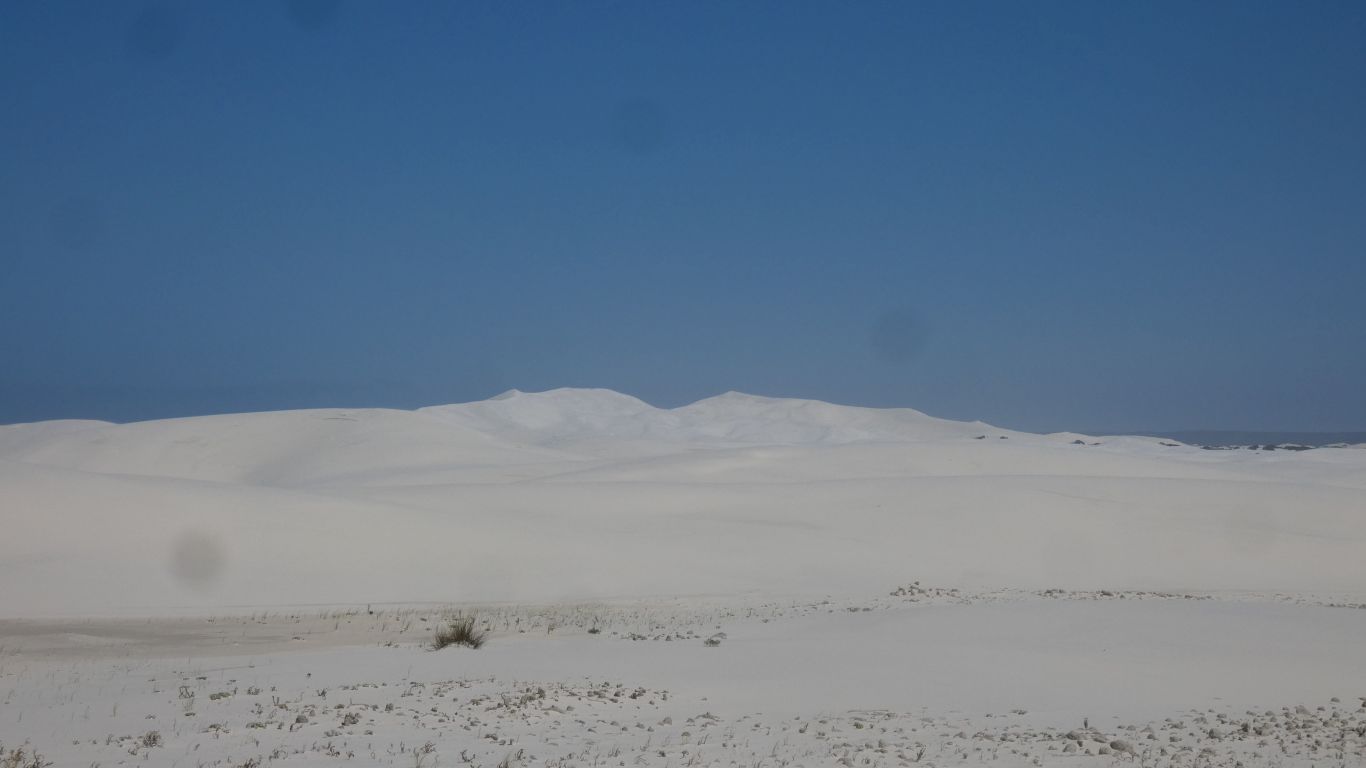
Midday is not a good time to take pictures of bright white dunes.
We could see where it went, but had no great desire, or need, to follow it.
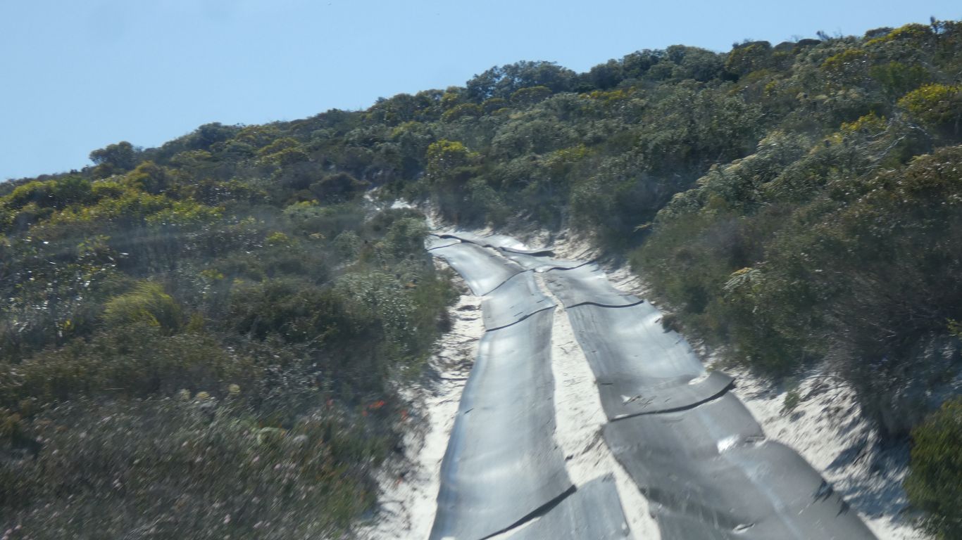
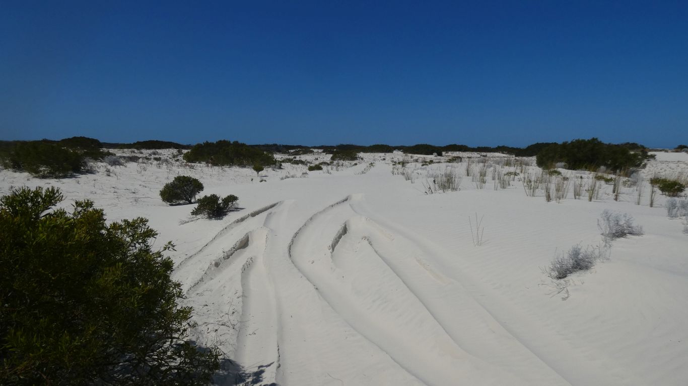
Its not smooth. But its effective.
The tiedowns have a "T" top. I stopped worrying about punctures caused by them.
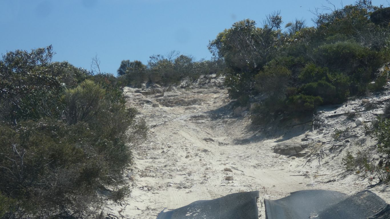
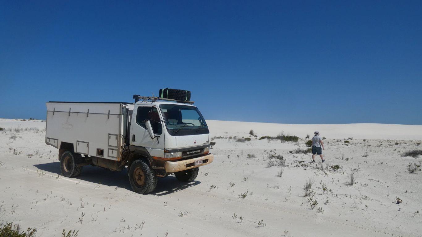
But just beyond that a short section of soft sand. We let 10psi out of the tyres. Down to 22psi. The "very soft" sand (parks description) in the last 100km hasn't been particularly soft for us.
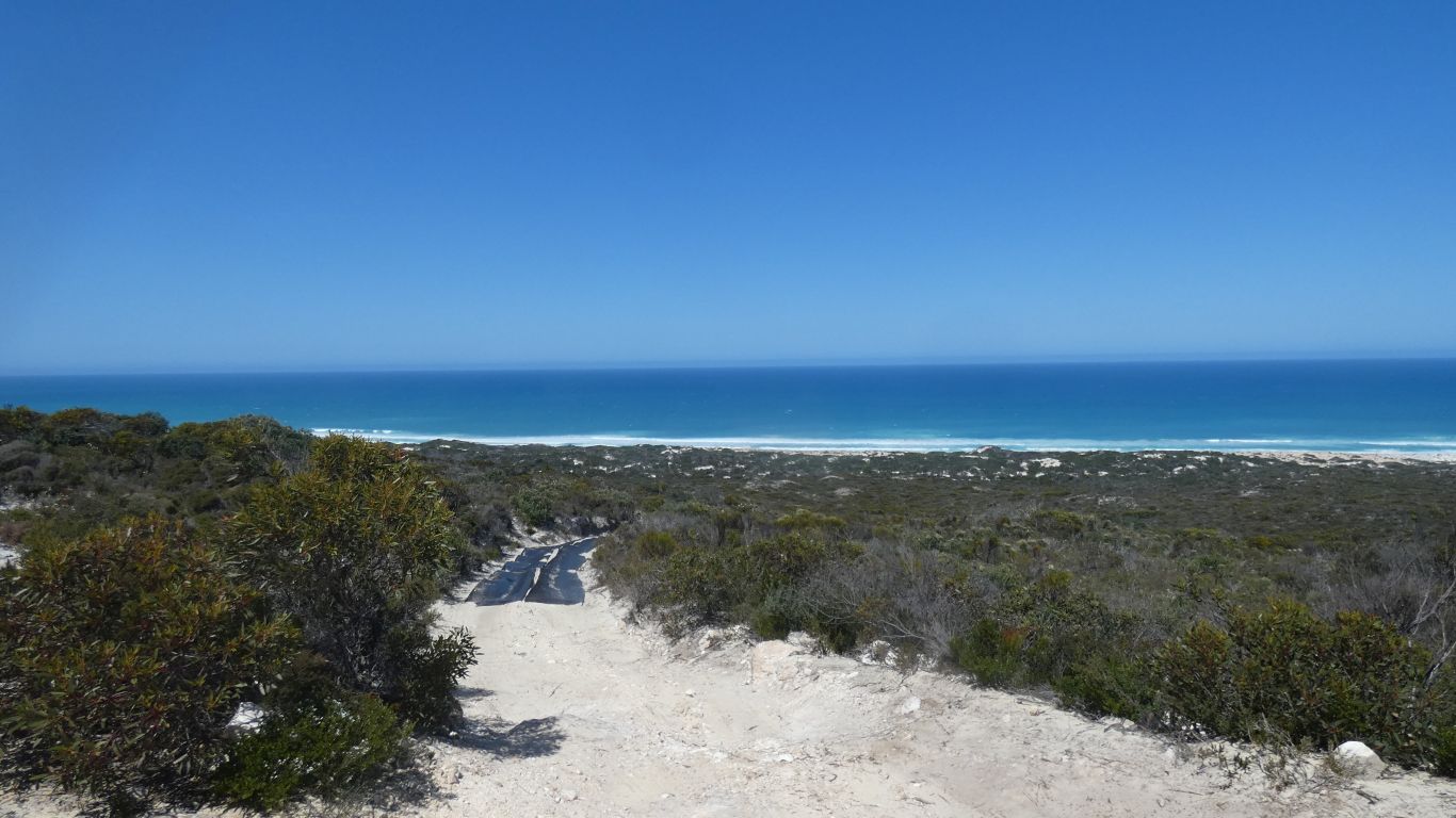
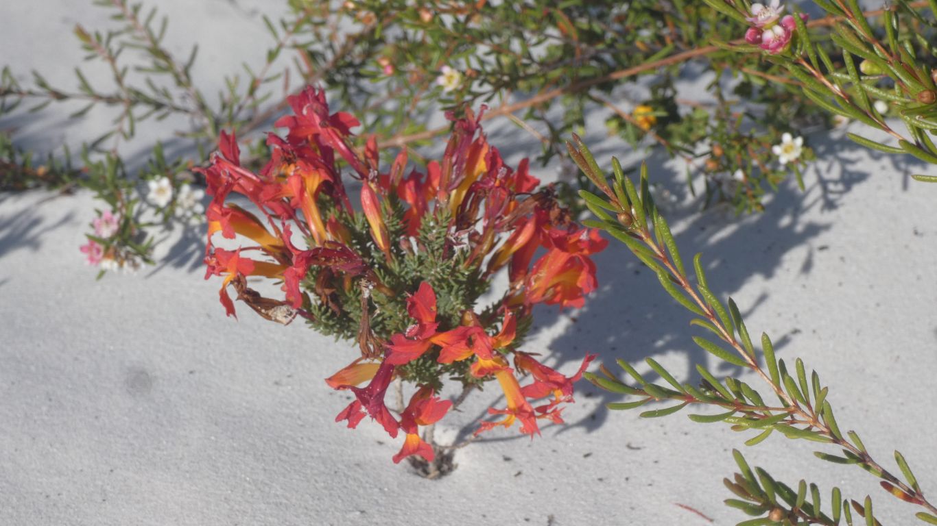
What a beautiful sight.
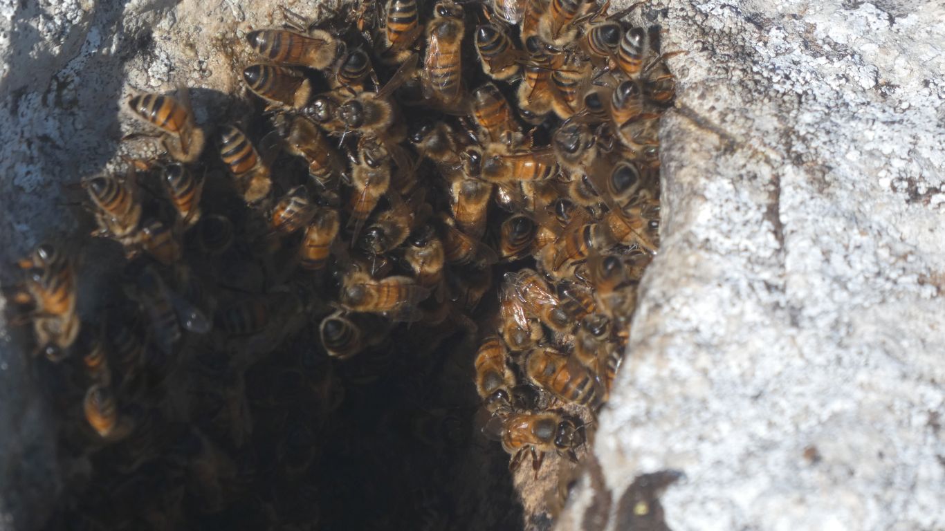
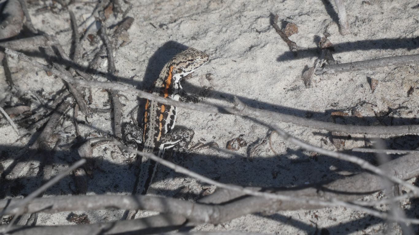
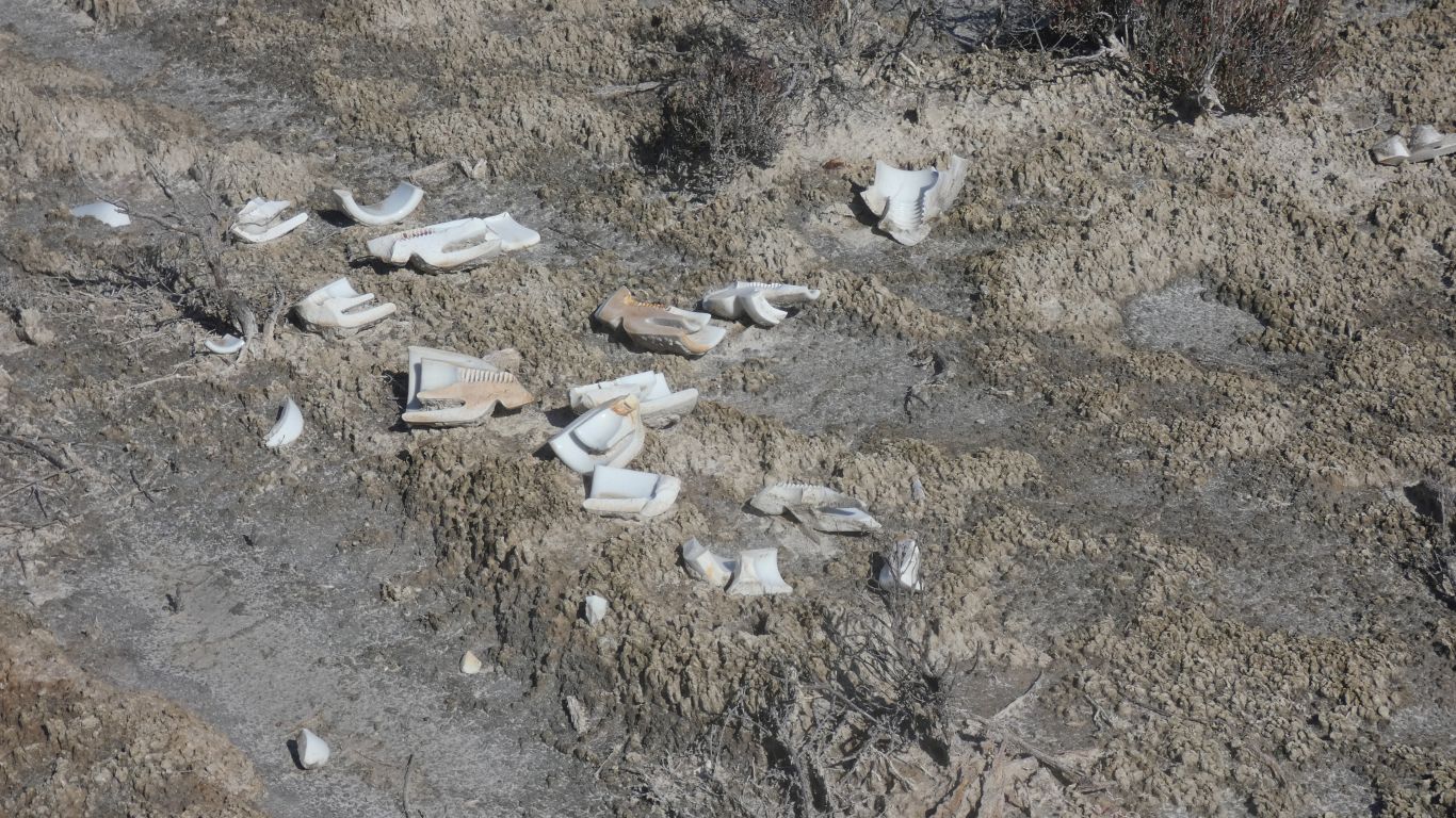
Nearly trod on it, took a pic, then realised I should avoid it.
Slow learner?
The route of the telegraph was chosen so it could be built. The builders weren't building a tourist drive. They avoided the dunes.
We expected the clouds and some rain.
Pity about the sunrise pic ....