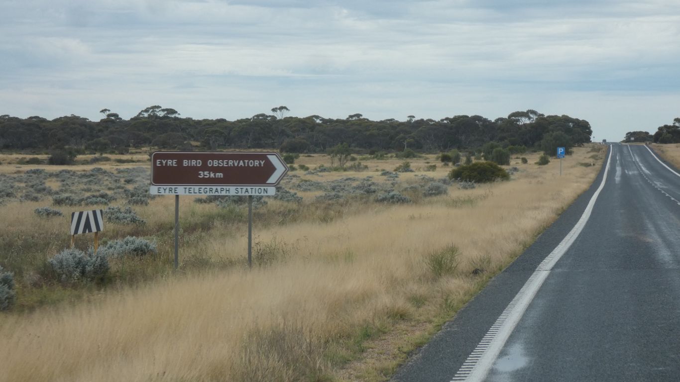
While we had a report of the track being passable in 2018, and unlikely to have changed significantly, other information pointed us out to the Eyre Highway then back to Twilight Cove.
The clincher though was a combination of "its been wet up there, though probably dried out", a report of someone driving into Twighlit Cove three weeks ago, and this Bureau of Meteorology weather forecast for Eucla Area:-
"Partly cloudy. Very high chance of showers, most likely during this afternoon and evening. The chance of a thunderstorm, possibly severe. Winds north to northeasterly 30 to 45 km/h tending north to northwesterly 25 to 40 km/h in the middle of the day then tending north to northeasterly 15 to 25 km/h in the late afternoon. Daytime maximum temperatures 22 to 31."
The thought of a thunderstorm, and traveling alone, made the decision easy.
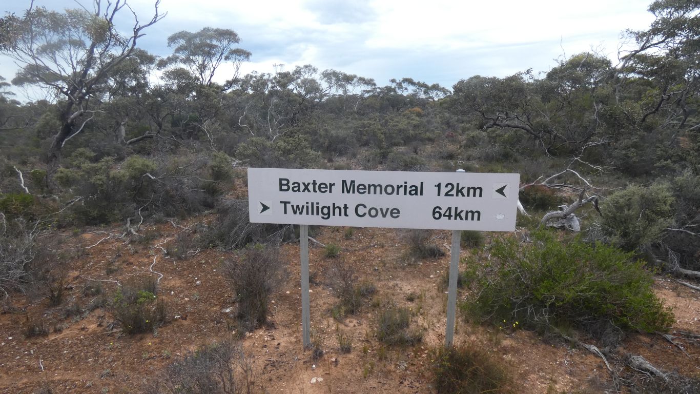
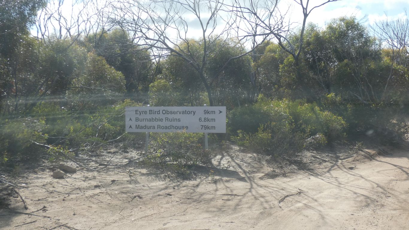
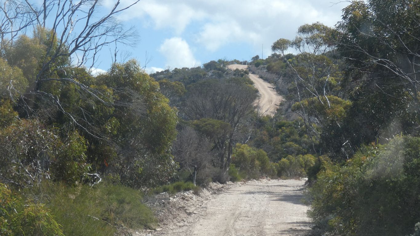
At a "T" that we think is the telegraph track coming from Twilight Cove it directs Twilight Cove to Caiguna, on the Eyre Highway.
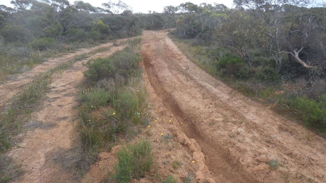
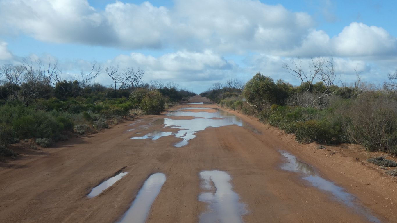
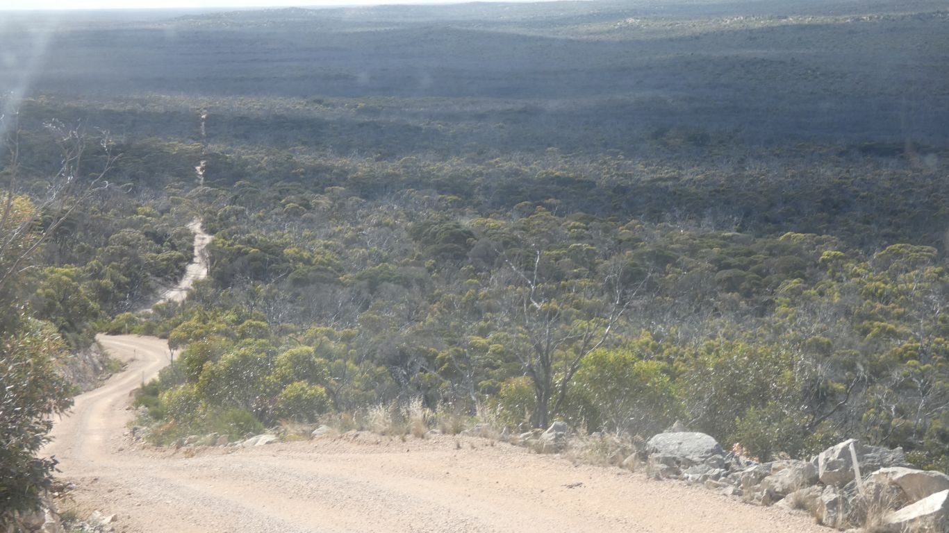
While the track between the telegraph track and Baxter cliffs is stony and twisty, and therefore slow, the track from telegraph track north to Caiguna is faster. At times more than 20 km/h. We even used 4th gear!
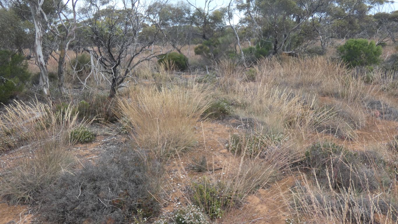
We also encountered grass.

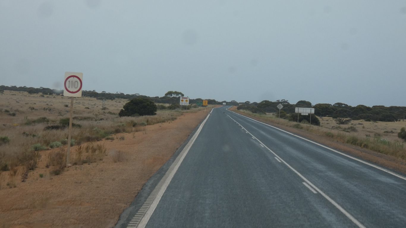
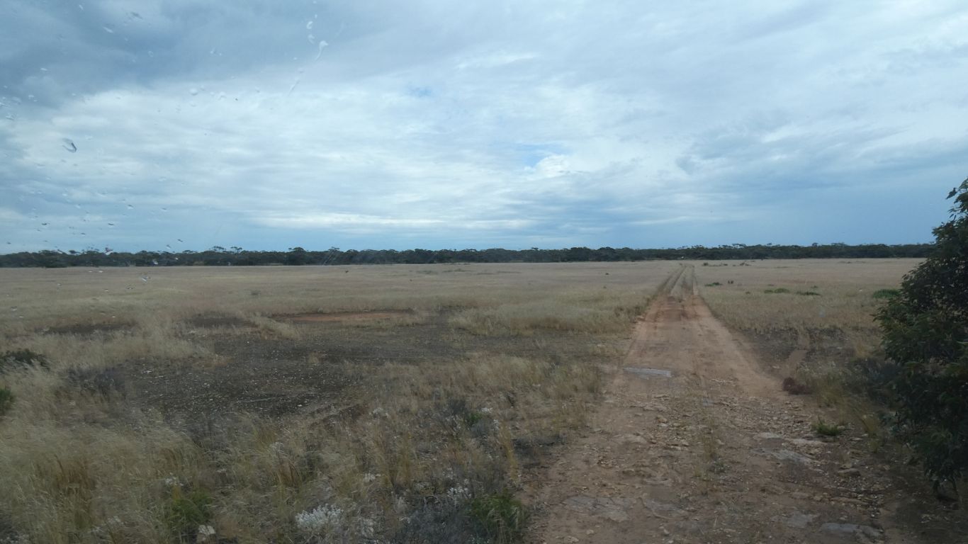
90 km/h is very fast after more than a week of less than 30 km/h.
We camp a couple of hundred meters along the track.
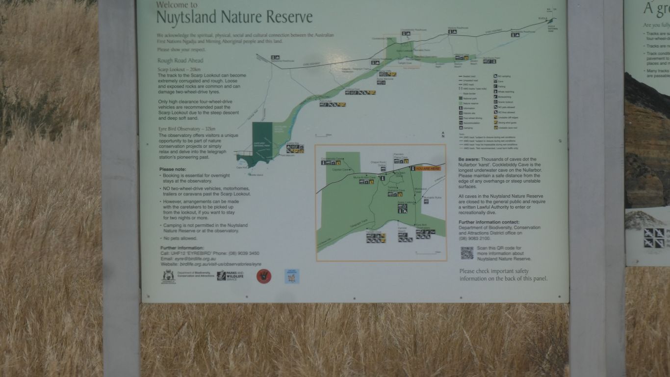
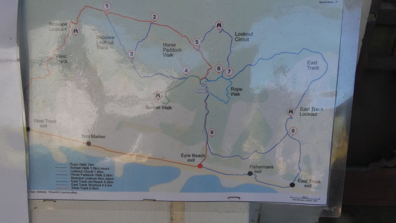
The map shows the telegraph track from Baxter Cliffs to Twilight Cove. And the beach drive from Twilight Cove to the Observatory.
The tide is wrong, advice is less than 0.6m necessary. And we are traveling alone.
At Twilight Cove the Baxter Cliffs end, and after the gap the Hampton Scarp is to the east.
It has a manual weather station (rather than automatic) for Bureau of Meteorology. The report is 20mm of rain.
No thunder storms that we know of.
Much easier than the beltway.
The Eyre Highway descends from the Hampton Scarp onto the Roe Plains down Madura Pass.
Information for later. We decide not to follow that track out.
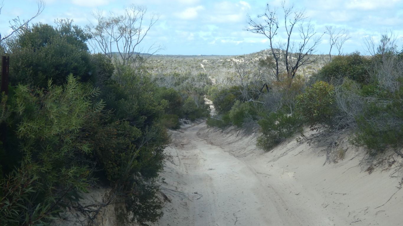
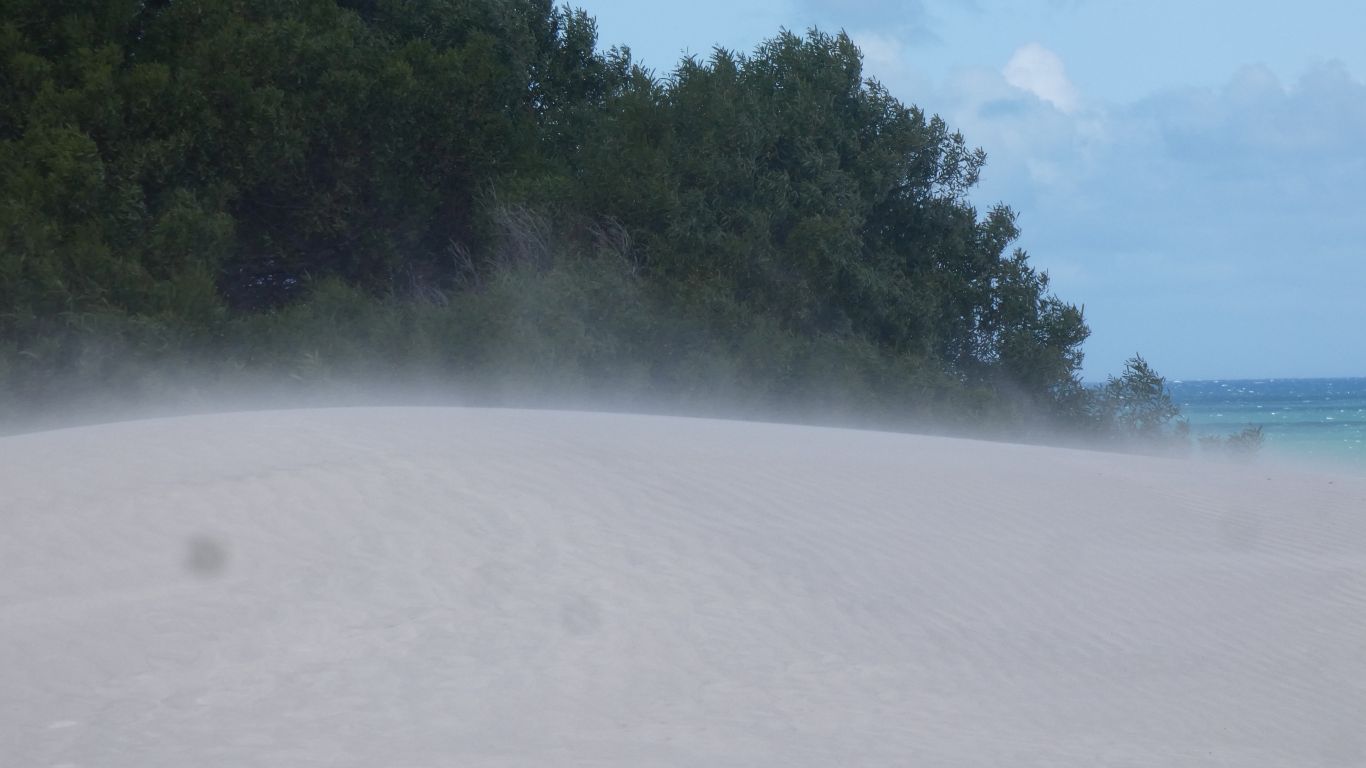
The damp sand is easy going.
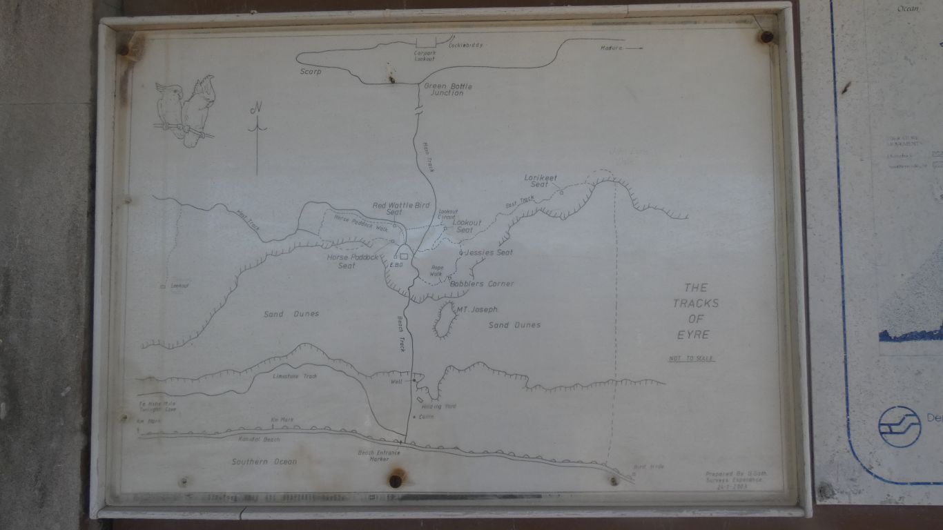
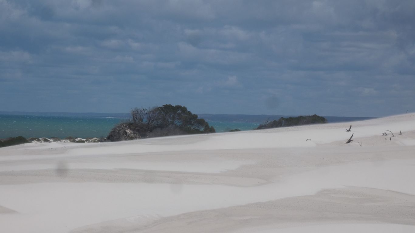
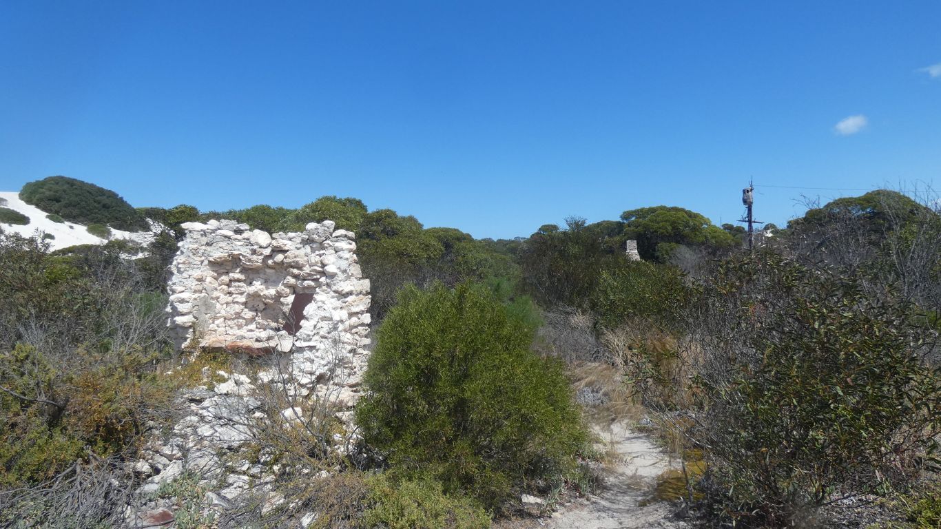
We notice the "limestone track". An old track behind the dunes leading to Twilight Cove.
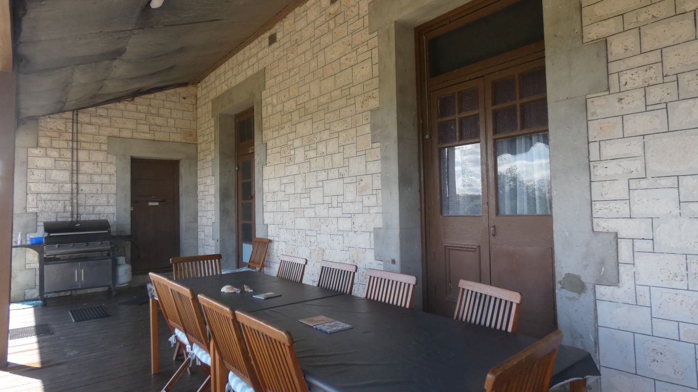
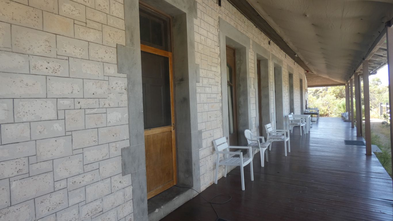
The stonework is a step higher quality than Israelite Bay.
Although doors and other woodwork had been removed the roof remained, which helped preserve the stonework and make renovation easier.
It occurs to us that South Australia has lots of stone buildings, simply due to lack of suitable wood. Western Australia has lots of wood. Though we are still in WA perhaps the stonework skills of SA permeated this far.
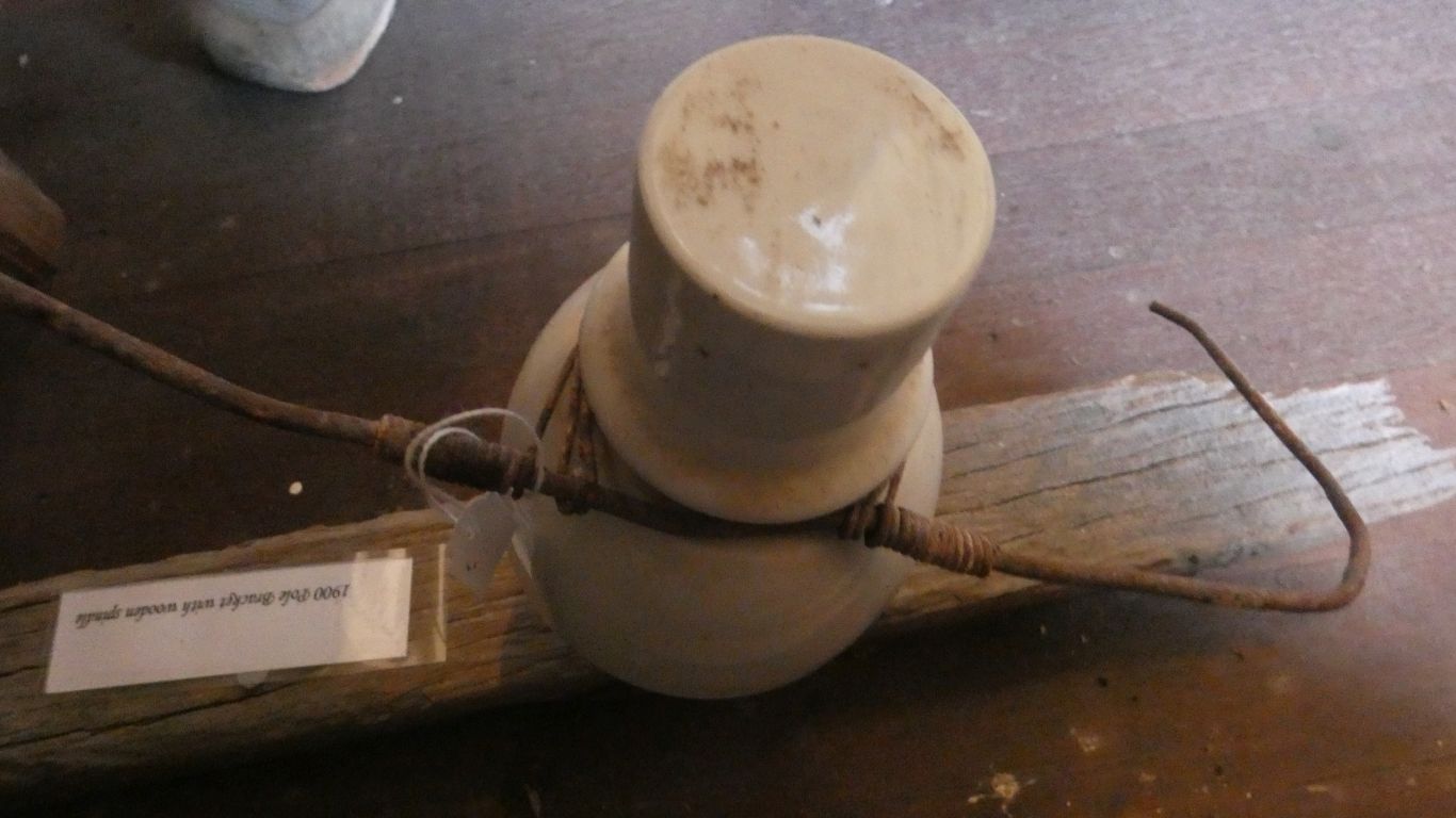
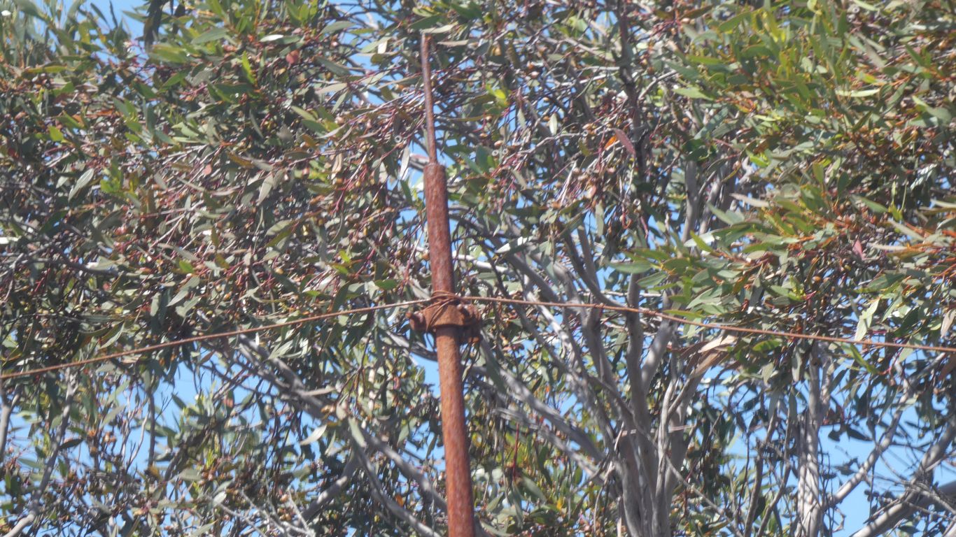
The telegraph poles we see are cast iron, as seen in SA.
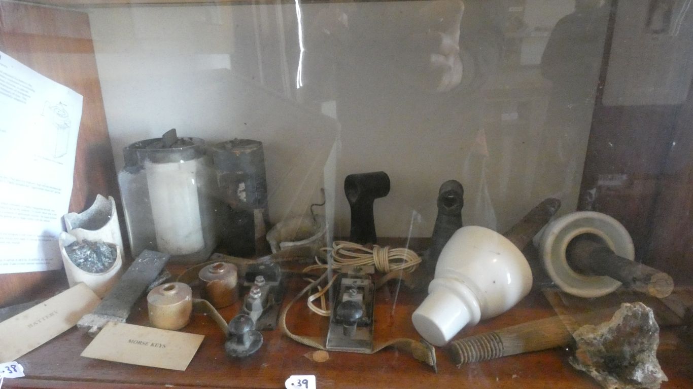
Hidden in the corner is a leclanche cell. There would have been racks of such cells providing battery power for the telegraph.
About 100 volts, so lots of cells in series. But very little current, so they would last a while. Not rechargeable in the sense of reversing the flow of electricity, but the electrolyte can be replaced to recharge.
I'm pleased with my earlier industrial archeology where I surmised it would look like this from a wrapping without an insulator.
The tracks are marked with rope. Waste recovered from the beach.
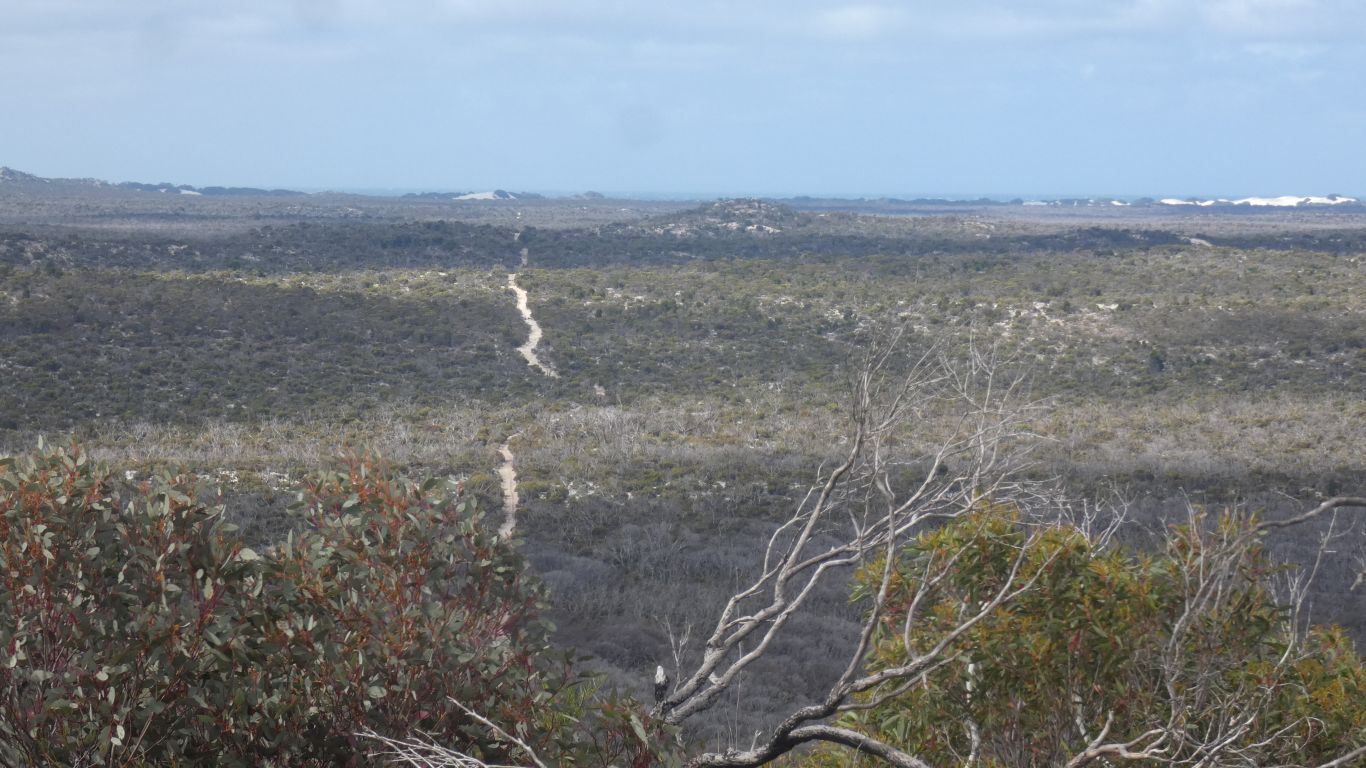
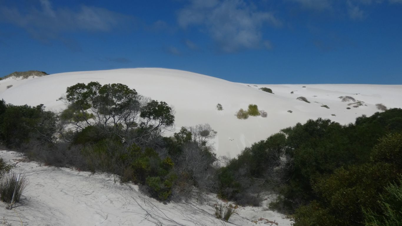
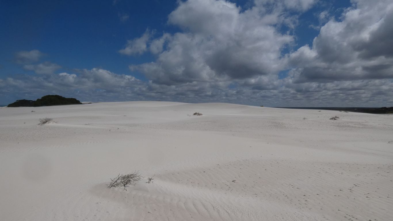
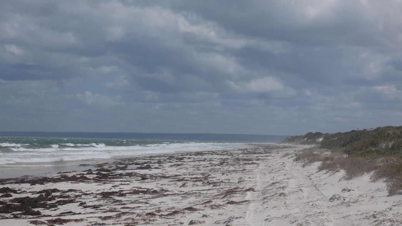
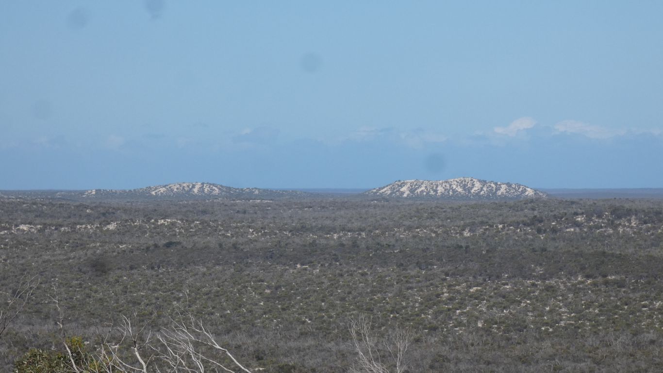
These dunes are predominantly limestone. Calcium carbonate. As are all the dunes east of Bilbunya. All the way to Kangaroo Island.
Bilbunya dunes are predominantly silica and quartz. Silicon dioxide.
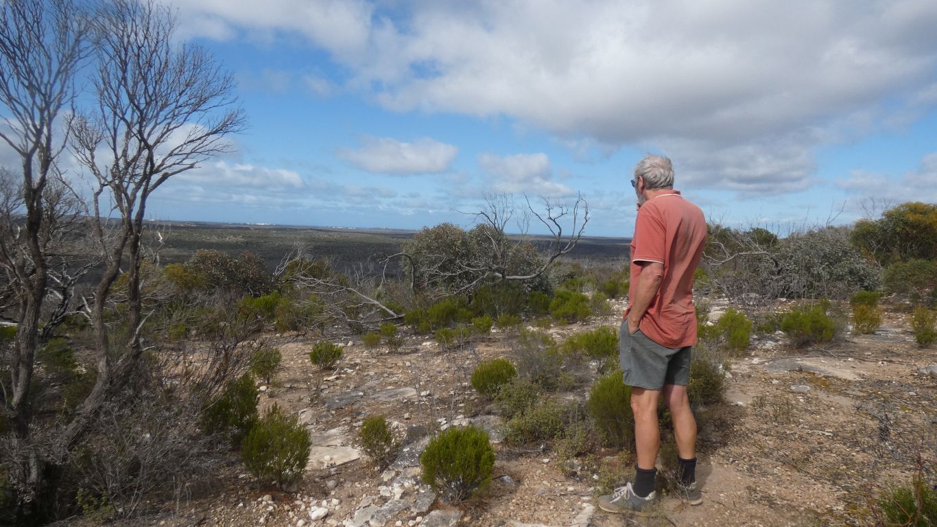
Difficult to tell without chemical analysis.
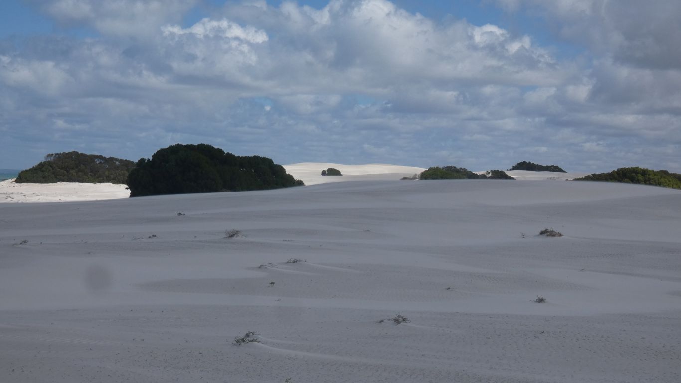
The shadows are from the clouds .... !
The whitest Australian sands are reputedly in Cape Le Grand National Park. We observed granite and gneiss in Cape Arid National Park, which perhaps is the source of the quartz sand of Bilbunya. The limestone escarpments and cliffs perhaps the source of sand to the east.
The Leeuwin Current flows west to east across the Bight.
I never did get to look along the coast to Twilight Cove.
And wrong time of day for a sunset.
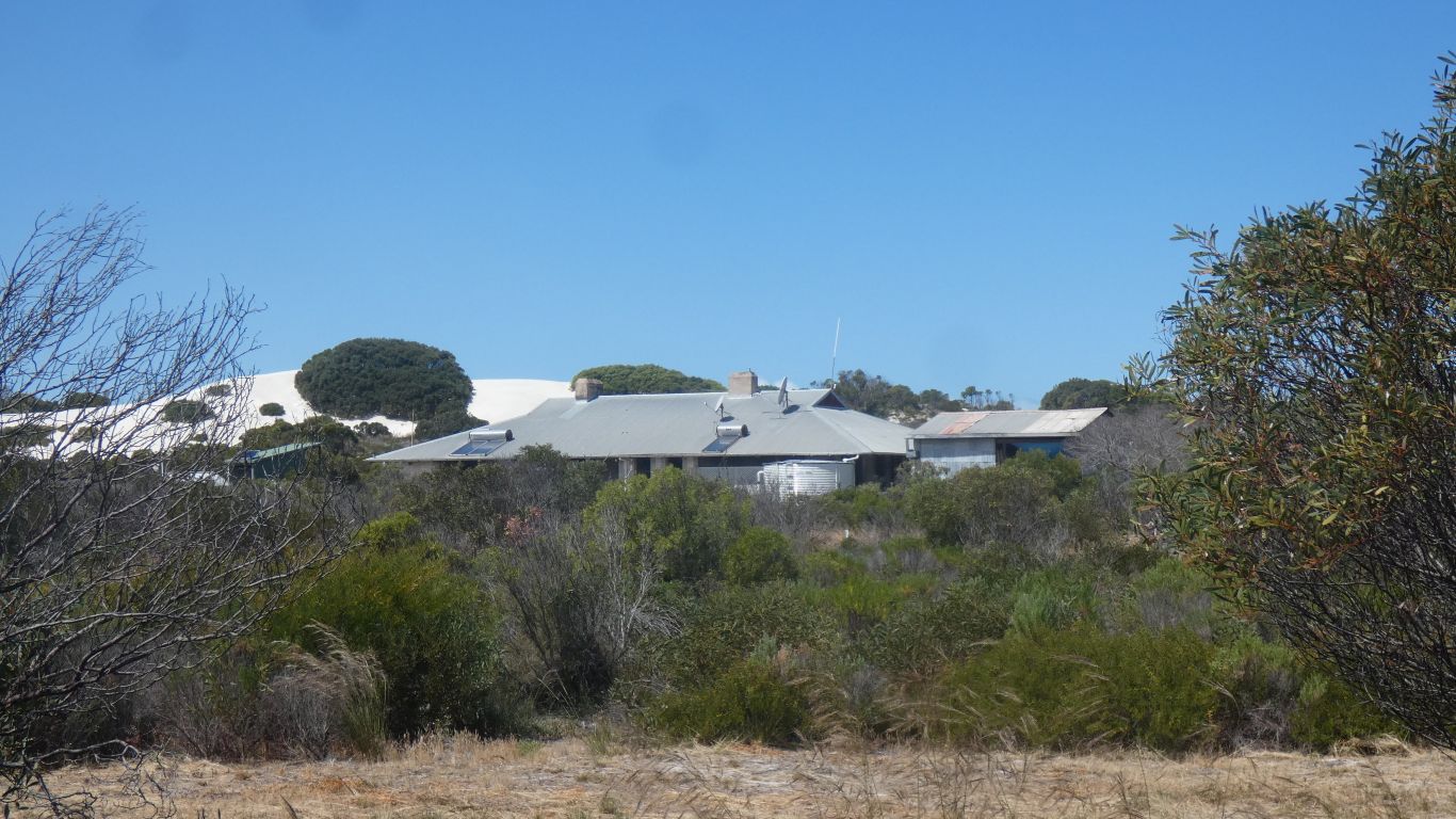
Also provides accommodation, and courses in photography and research.
Another feature of South Australia with no suitable wood.
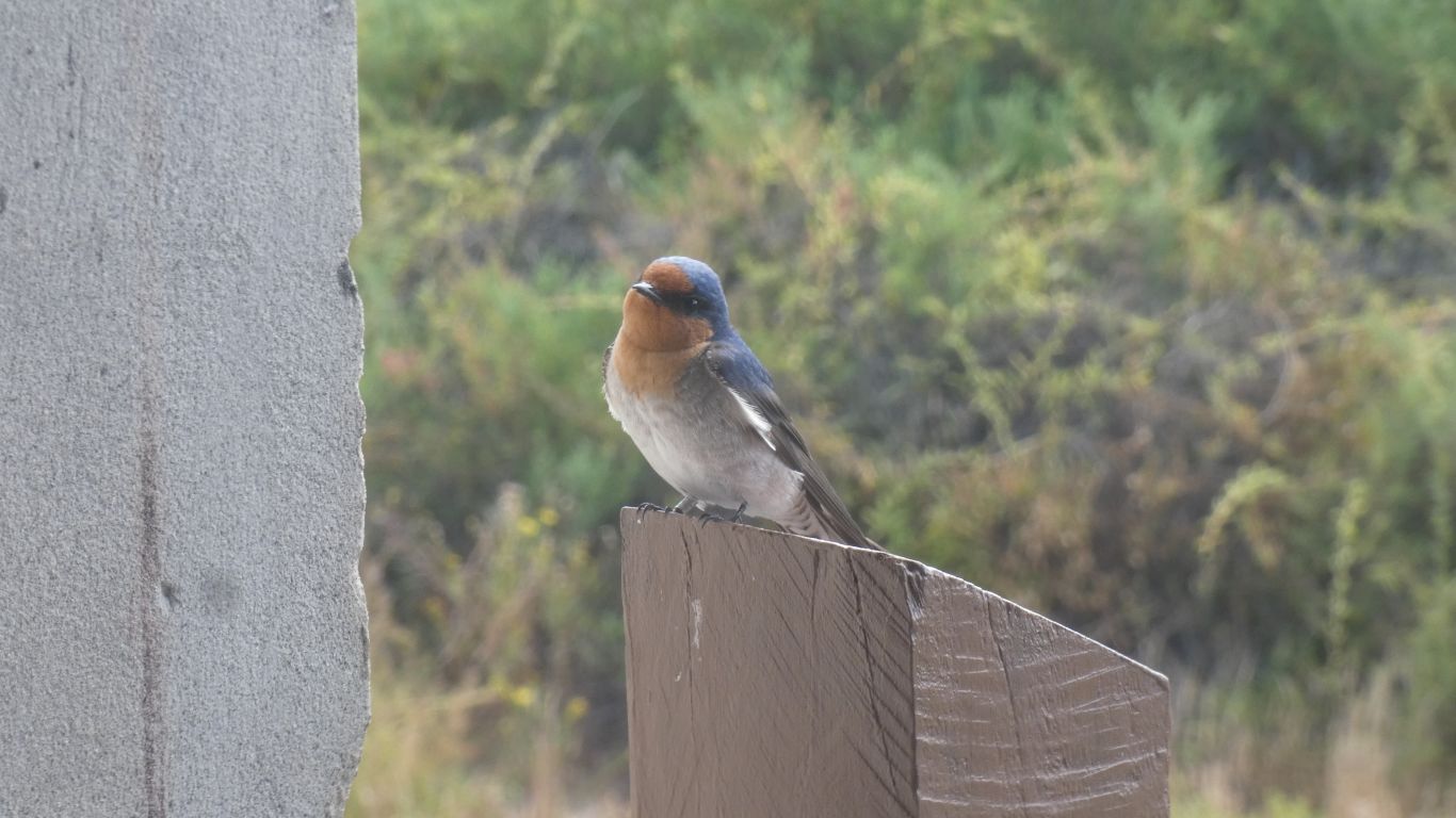
I was intrigued by the block of wood suspended from the pole.
I later learned it's a nesting box.
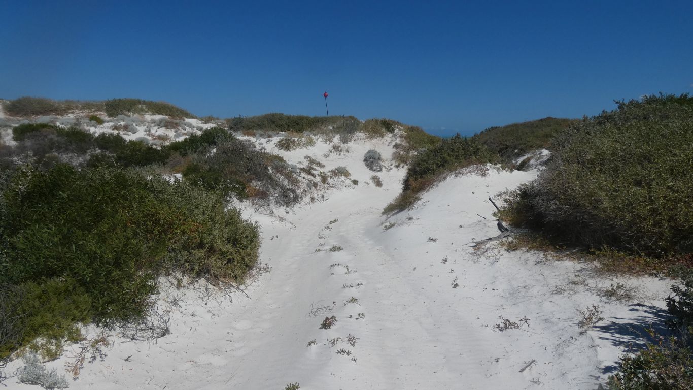
The red bouy atop the pole shows the exit for those intrepid travelers who drive along the beach
Then back up the escarpment.
And return to our campsite at the road junction.
Plus inflate the tyres.