| |
|
|
| West to Ruby Gap (Near Alice Springs) |
 |
June 4 - 13 2025 |
| |
|
|
 |
|
its a long way to the start of the northern part of the
Canning at Mulan. We have a bit more time available than last year. We've
started earlier. We thought to have a few days at Lake Nuga Nuga, to
recommission the truck.
A night at Warra, next to the pub.
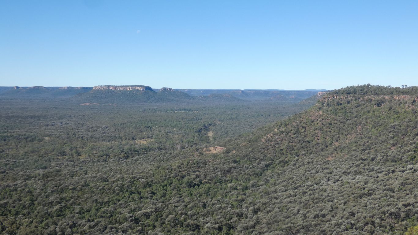
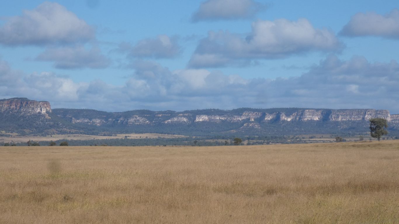
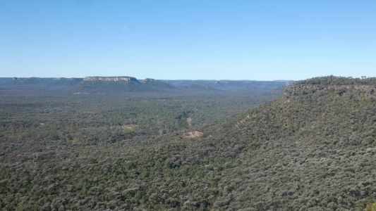
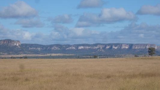
We passed by the escarpment above Lonesome section of Expedition National
Park. Looking north into Arcadia Valley |
| | | |
 |
|
Alas, Nuga Nuga closed after flooding. Should have checked.
We camped by the roadside a few km north.
We overcame our disappointment, and bad planning, and headed for Nogoa
River, Salvator Rosa section of Carnarvon National Park. We remembered from
2023.
Two nights, to give us a rest day. |
| | | |
 |
|
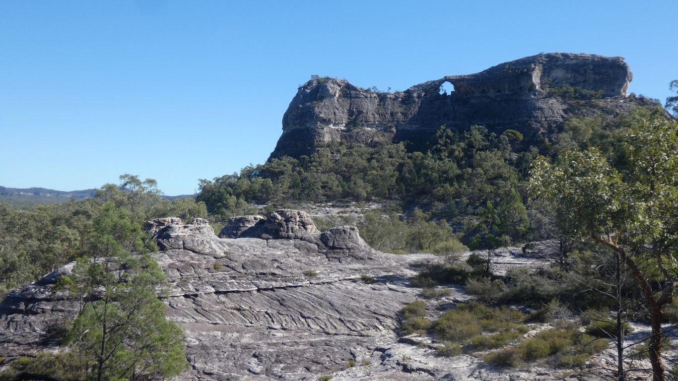
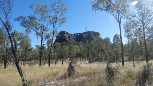
We drove to the end of the track, a walk around Spyglass
Hill. |
| | | |
 |
|
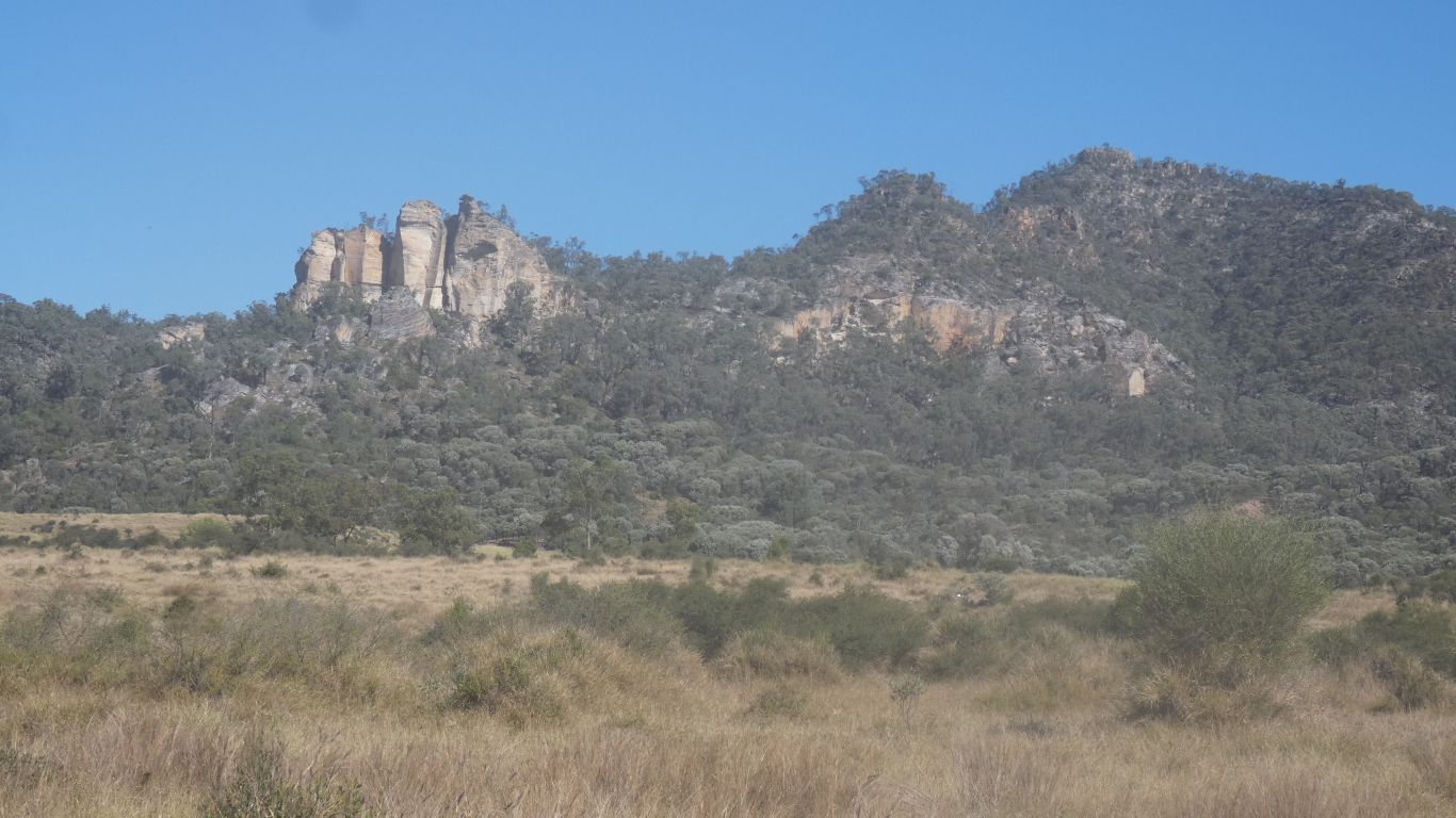
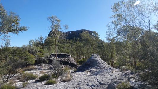
We haven't tired of the rock formations. |
| | | |
 |
|
I think we took this pic last time. I recall thinking of
splodges of mud. |
| | | |
 |
|
Very little bird or animal life. A flock of apostle birds
kept us entertained. |
| | | |
 |
|
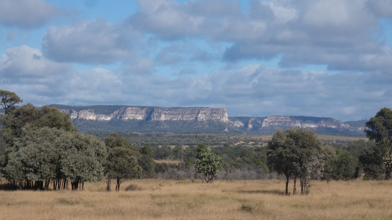
We needed the rest. Next stop Tambo. Past lots of cliffs. |
| | | |
 |
|
We took the shortcut along Goodliffe Creek, rather than the
more scenic Dawson Hwy. |
| | | |
 |
|
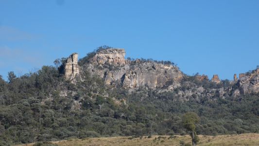
But still not tired of the cliffs. |
| | | |
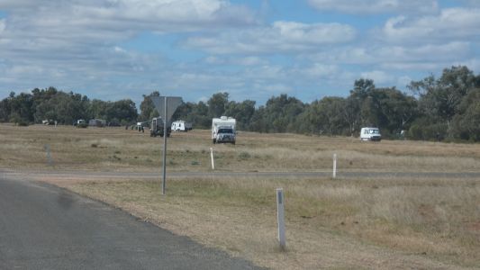 |
|
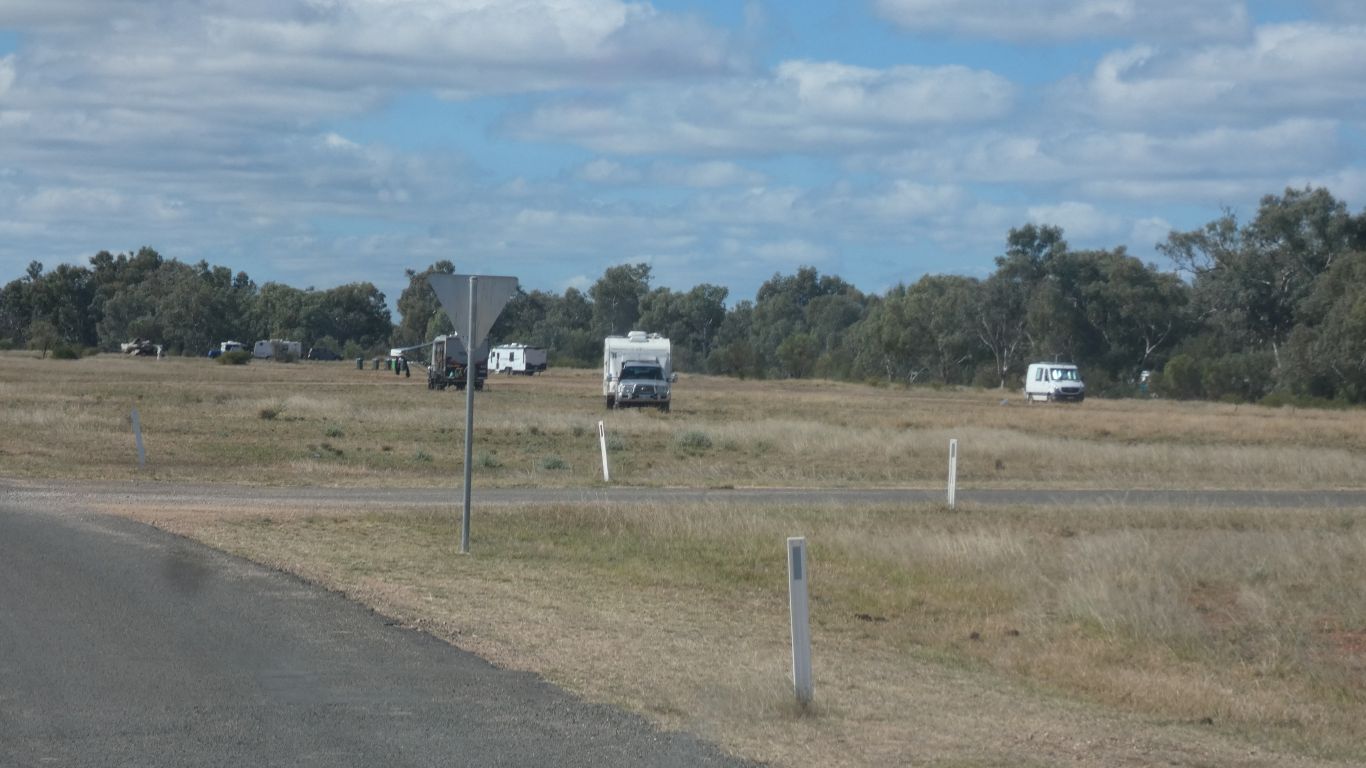
Lots of space again at Tambo. Fewer occupants than last
time. |
| | | |
 |
|
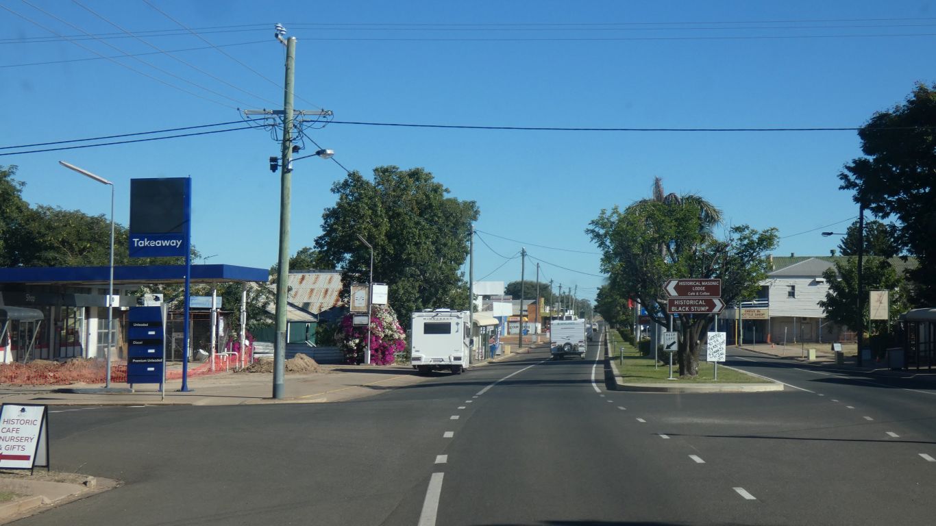
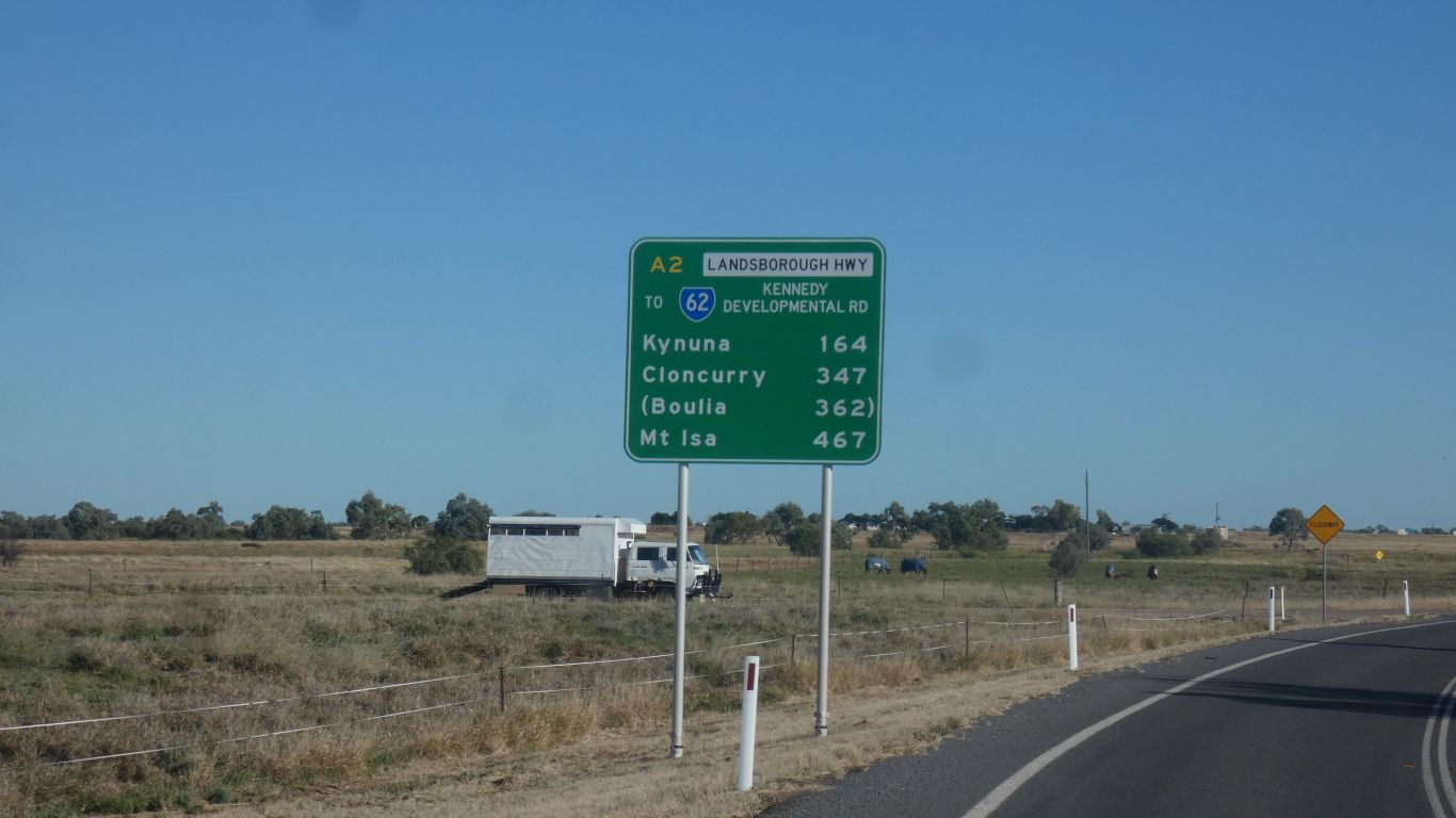
Through Blackall. Only another couple of thousand
kilometers to go .... |
| | | |
 |
|
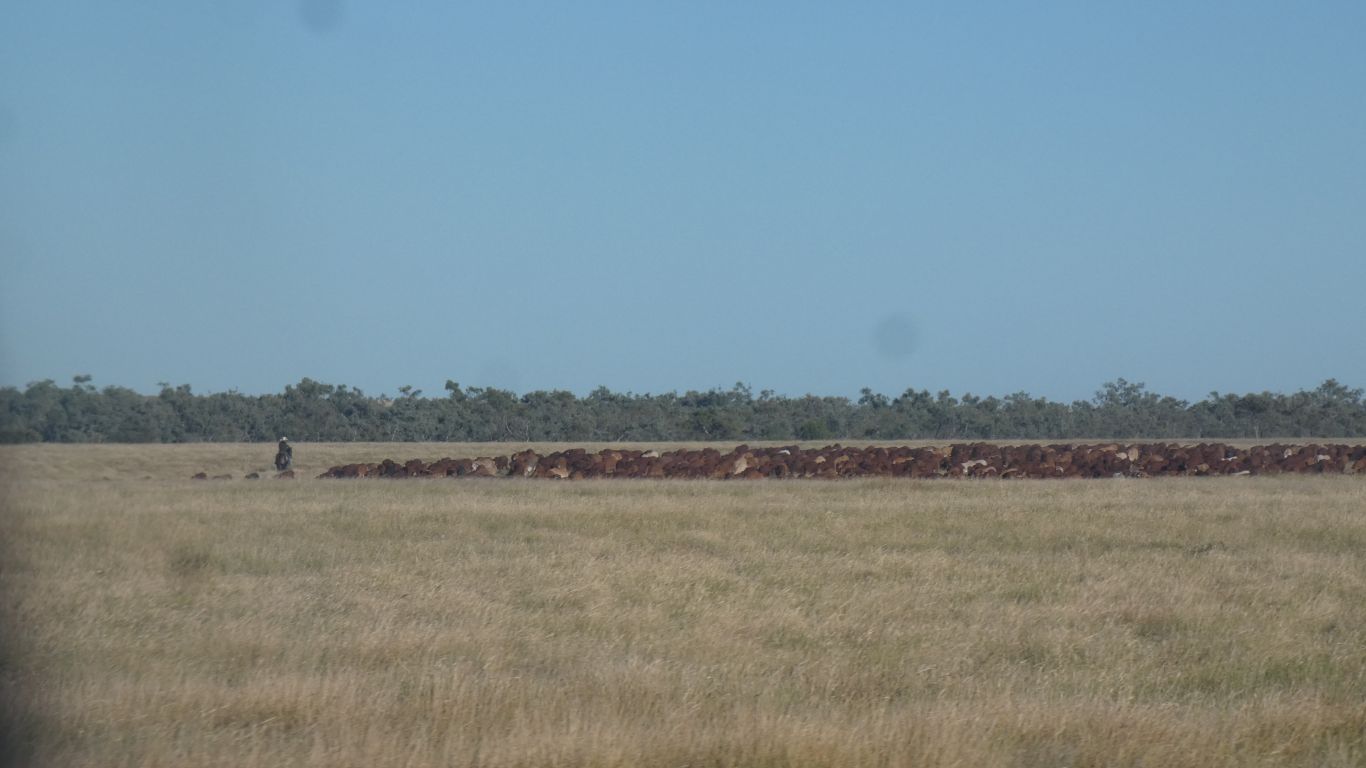
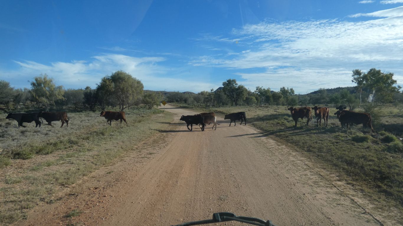
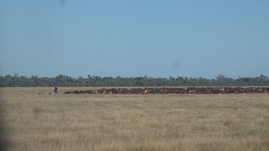
not often seen these days, cattle moving along a stock
route. |
| | | |
 |
|
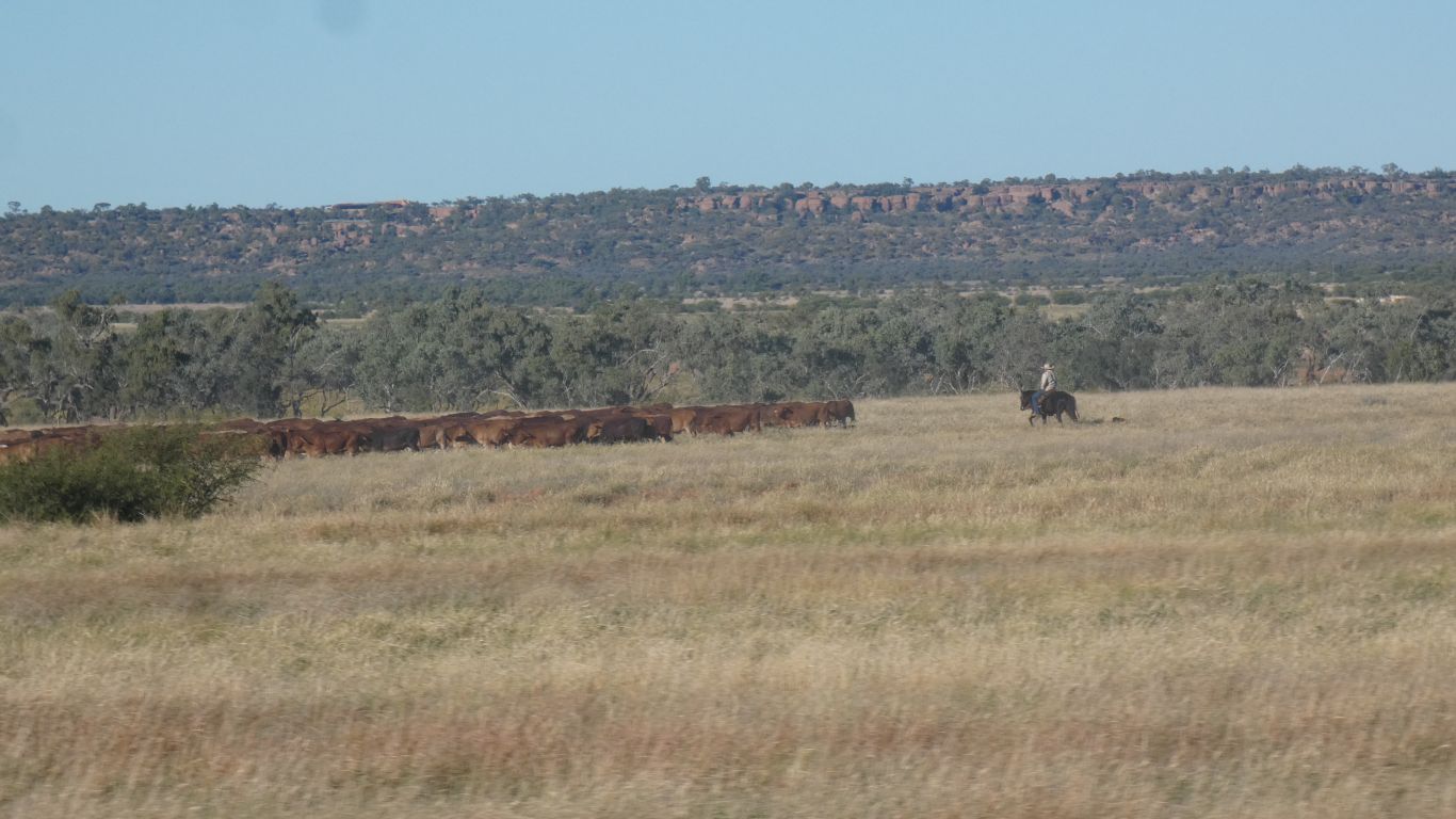
a very leisurely pace. |
| | | |
 |
|
We stopped for a night shortly before Winton. A rest area,
far enough from the road to ignore the trucks. Through Winton and signs
for Boulia.
For a night at 3-mile camp. |
| | | |
 |
|
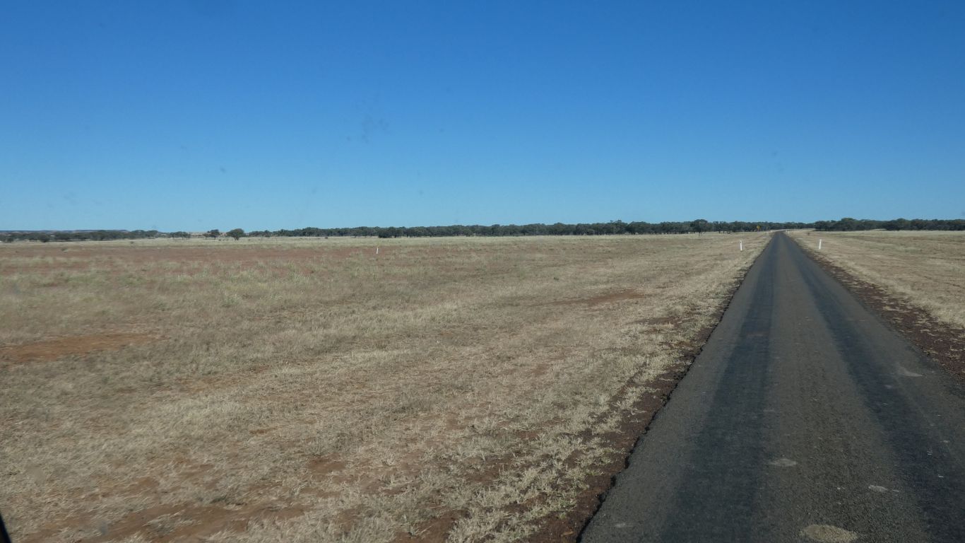
The land flatter after Boulia, and more sparse. |
| | | |
 |
|
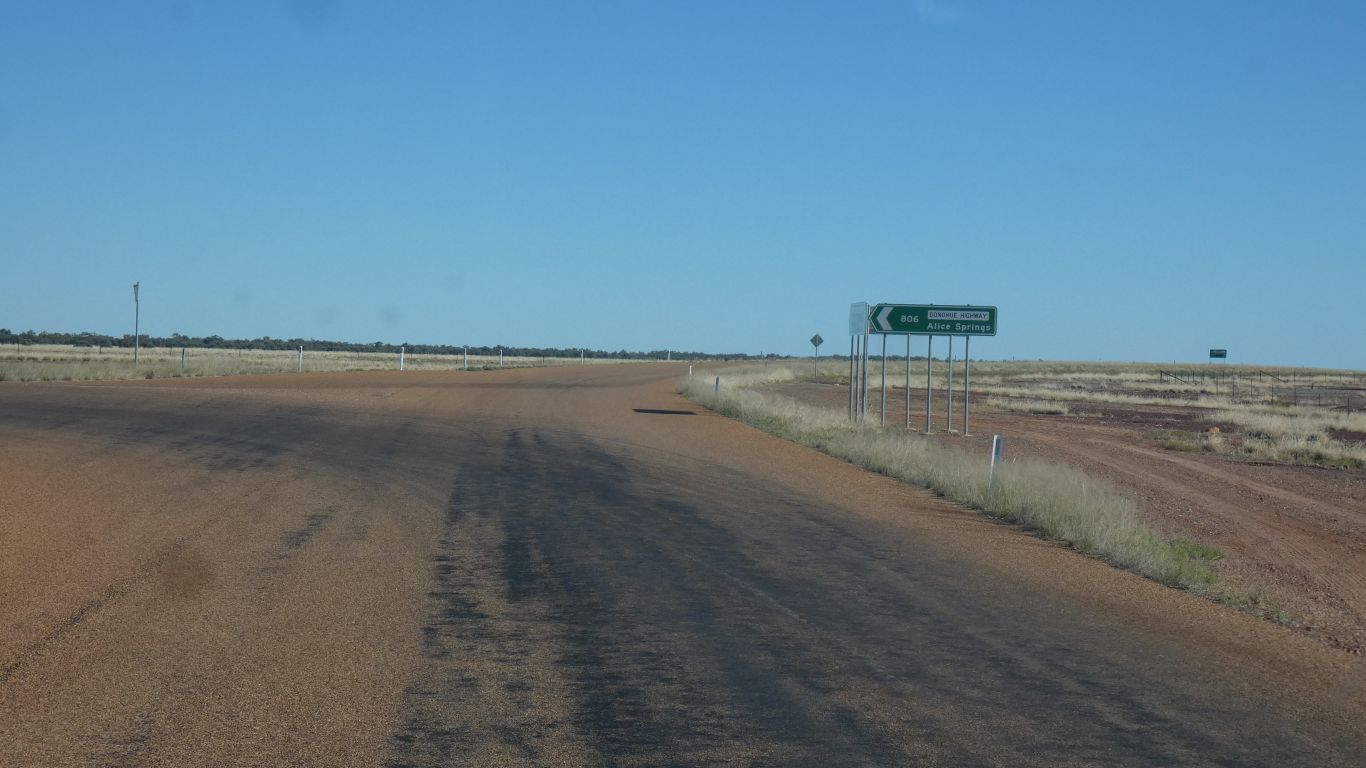
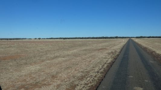
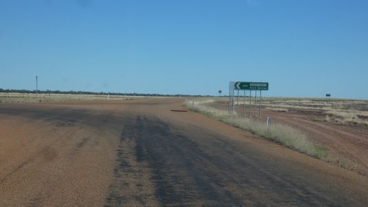
Then left onto the Donahue Hwy. |
| | | |
 |
|
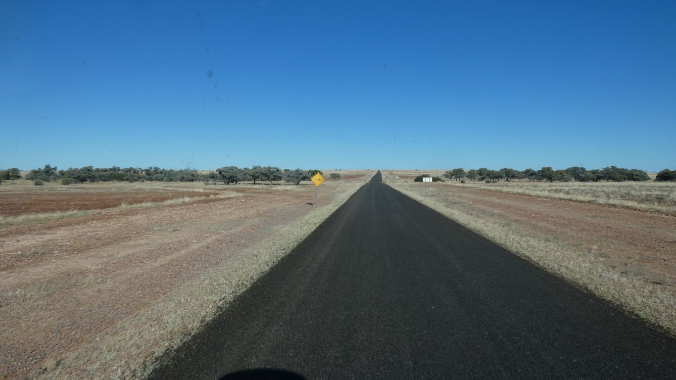
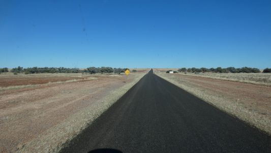
Lots of new road seal since last time. |
| | | |
 |
|
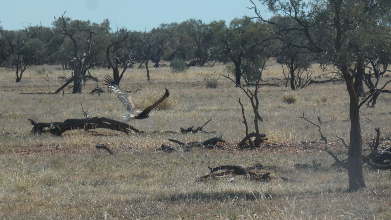
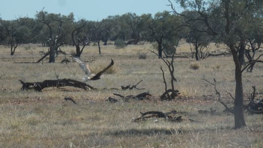
We've seen a few wedgetail eagles in the last few days.
Unusual for us. The crows eating road kill are clever. They hop just far
enough away for us to pass.
The eagles are bigger and heavier, and choose to fly. We slow as we
approach. |
| | | |
 |
|
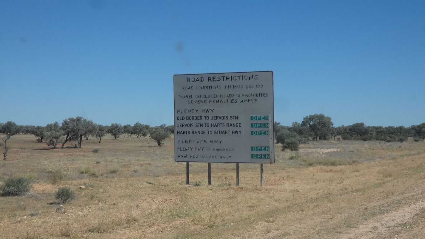
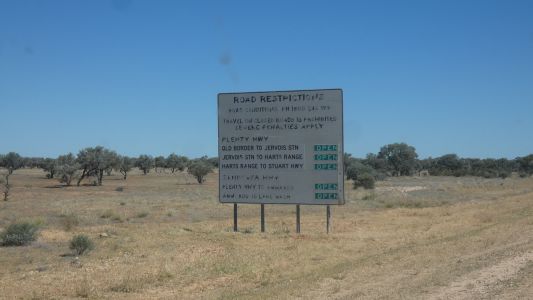
Just as well everything is open, we can't read the bottom
half. That will get us as far as the border. We already checked the Plenty
Highway is open (wiser after our Nuga Nuga experience). |
| | | |
 |
|
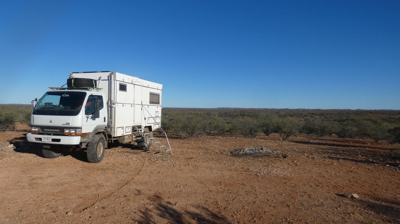
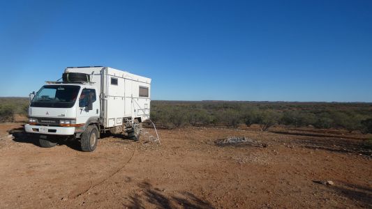
We stopped at Limestone Rise. Same as our last trip this
way. Two nights, we need another rest. |
| | | |
 |
|
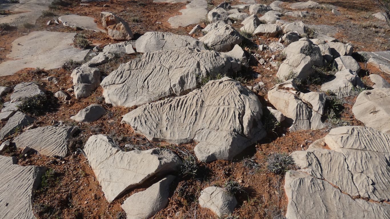
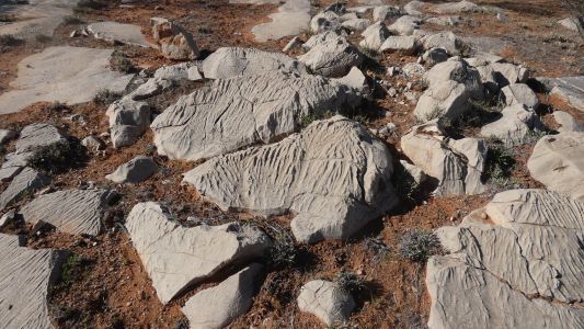
Time for fossil hunting on the pavement. Failed. Nice
fine limestone, water eroded. |
| | | |
 |
|
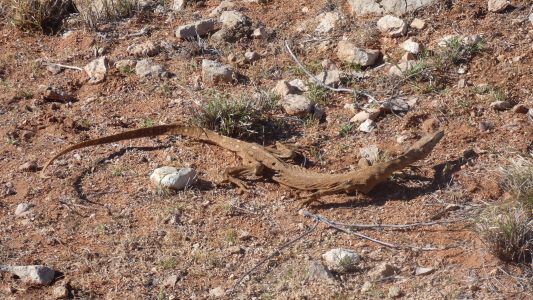
Took me a while to realise I was looking at a dessicated
lizard. As if it died mid stride. |
| | | |
 |
|
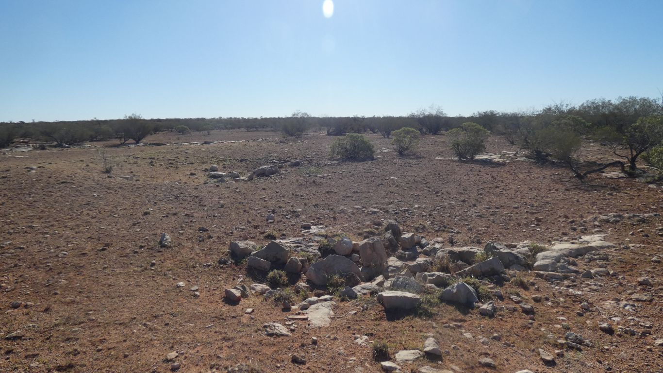
The second of two sink holes. First one, wider, is behind
it. |
| | | |
 |
|
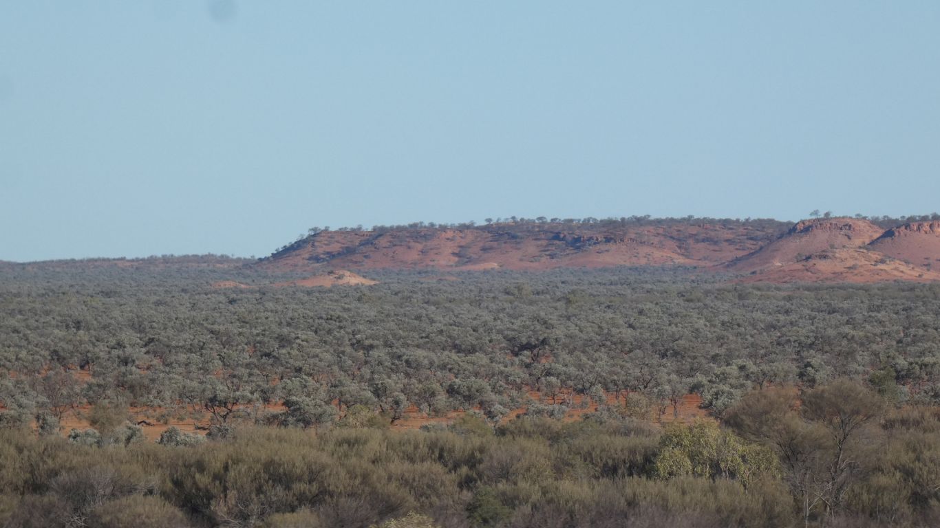
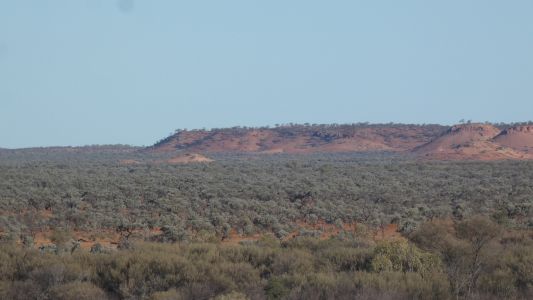
The distant next line of hills as the sun goes down. It
was good to stretch legs after a lot of driving. |
| | | |
 |
|
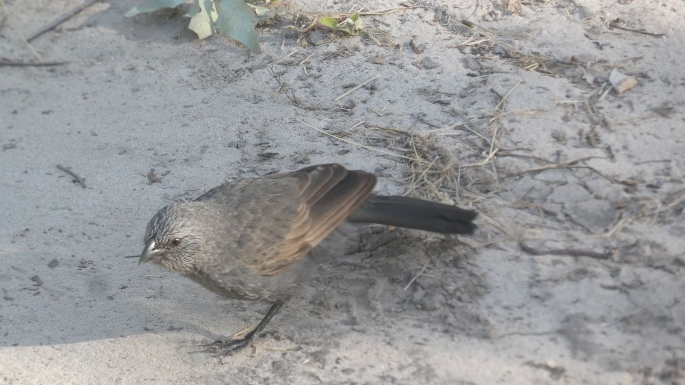
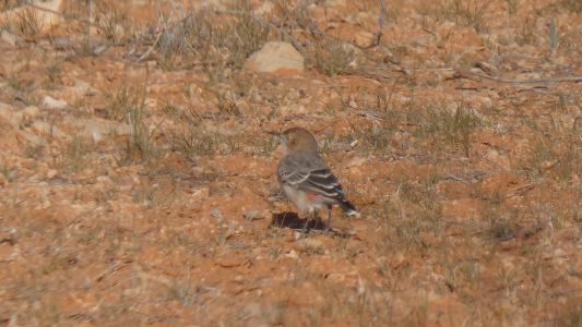
We remembered both bird books. Sadly, they've been wet at
some time. Pages stuck together. Including the page that would have told us
what this is. We've seen them, and taken pics previously, but our memories
....... |
| | | |
 |
|
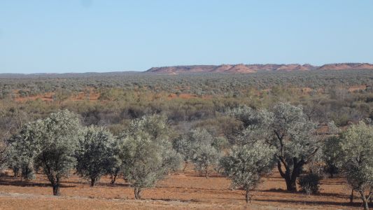
Those distant hills again. |
| | | |
 |
|
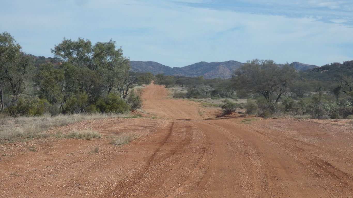
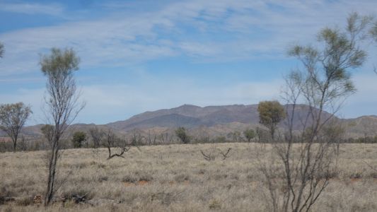
Forever onward. Past the Hart Range. |
| | | |
 |
|
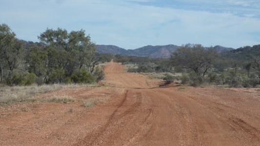
Then the Pinnacle Road. We are headed to Ruby Gap. |
| | | |
 |
|
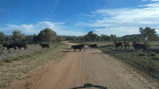
We let the cattle cross. |
| | | |
 |
|
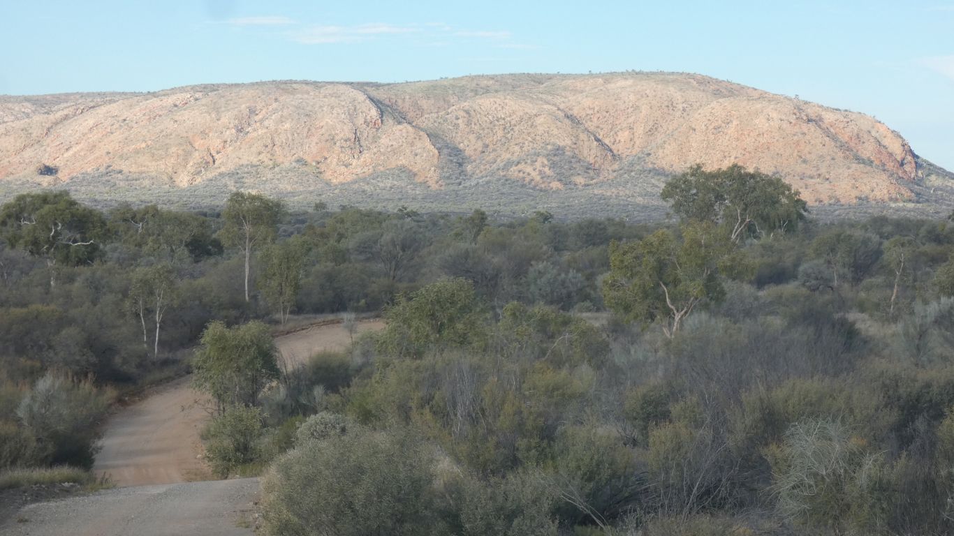
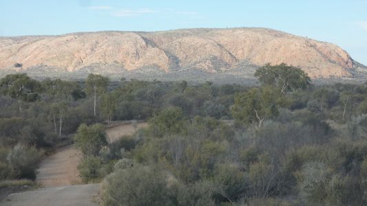
Will we reach the end of the track before dark? The
colours of the hills much brighter than the camera can do justice to. |
| | | |
 |
|
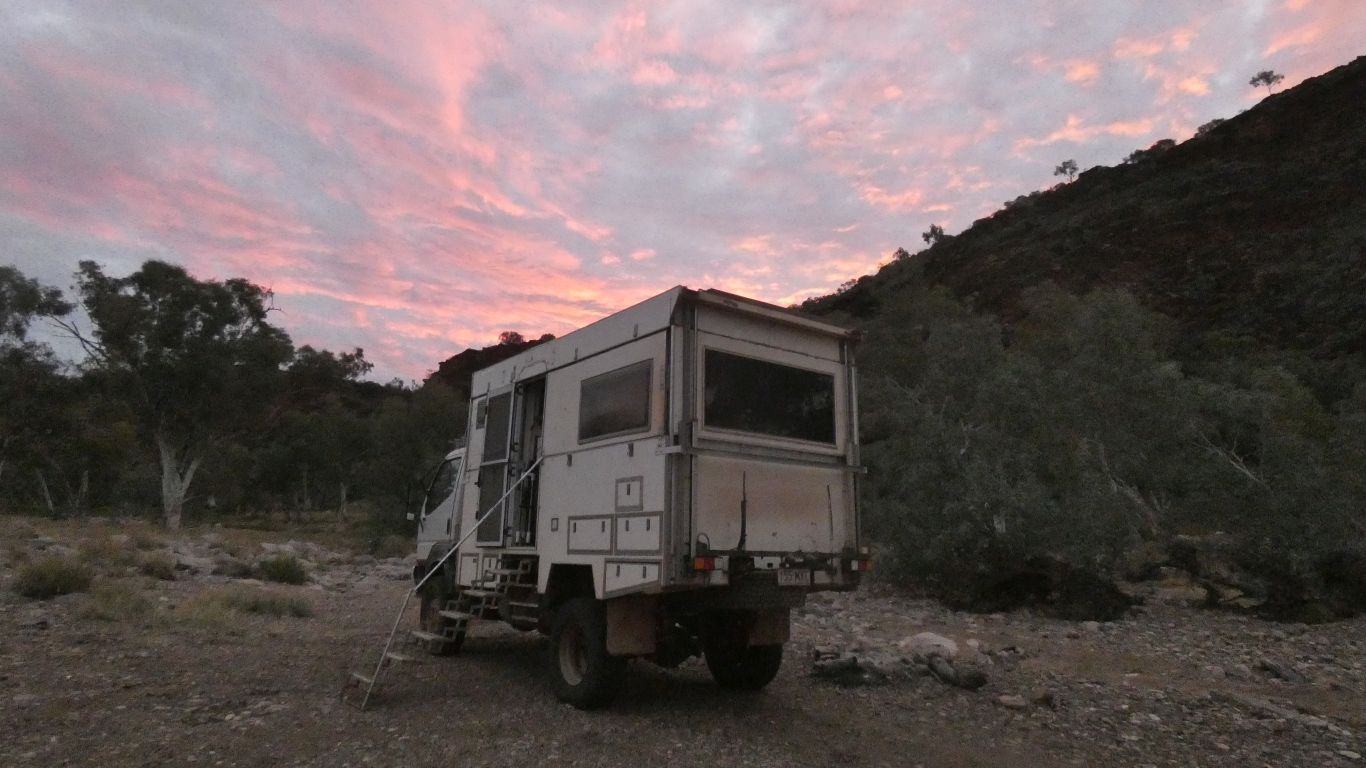
Yes we did. Just in time. About a half hour to spare. And
yes, the track was rough.
We passed one other couple, camped a few hundred meters from the end. |
| | | |
| Ruby Gap and Mount Doreen |
|
June 14 - 23 2025 |
| | | |