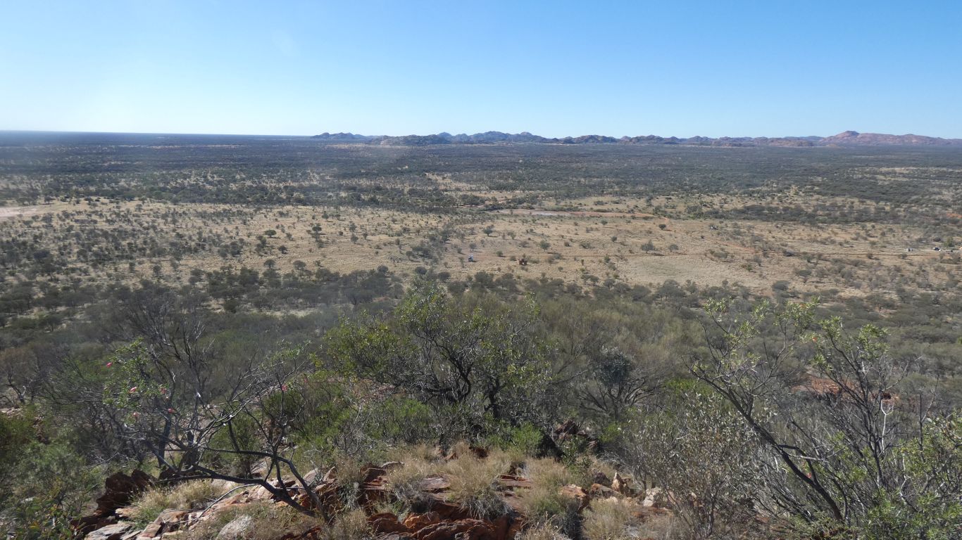
An afternoon stroll further along the track from camp.
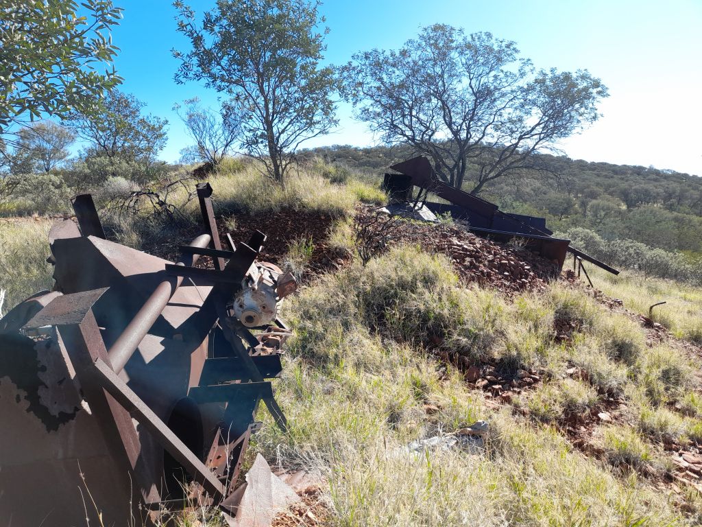
The hill is labeled Wolfram Hill on maps.
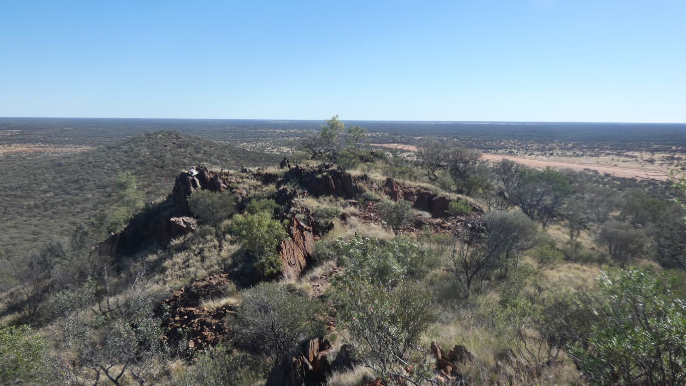
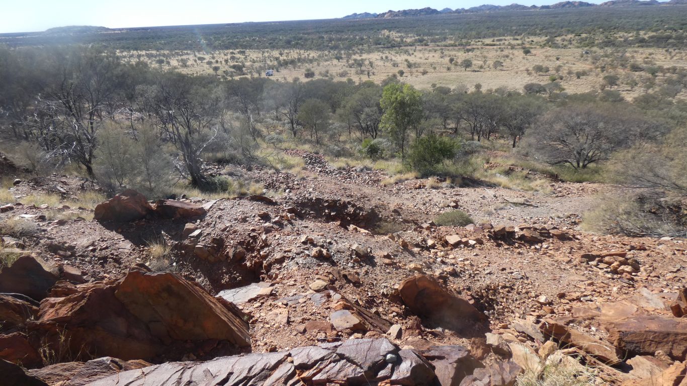
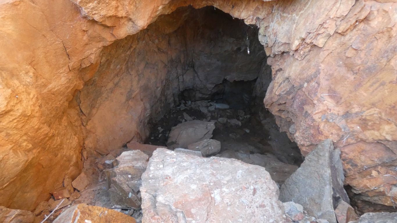
Some evidence of mining and a bit of separation.
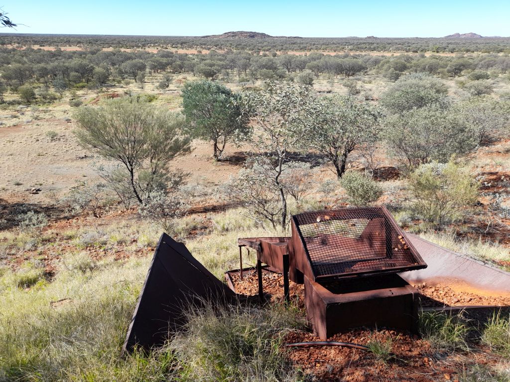
I couldn't find evidence of a crusher, but there probably is somewhere.
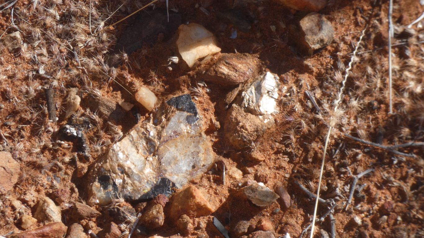
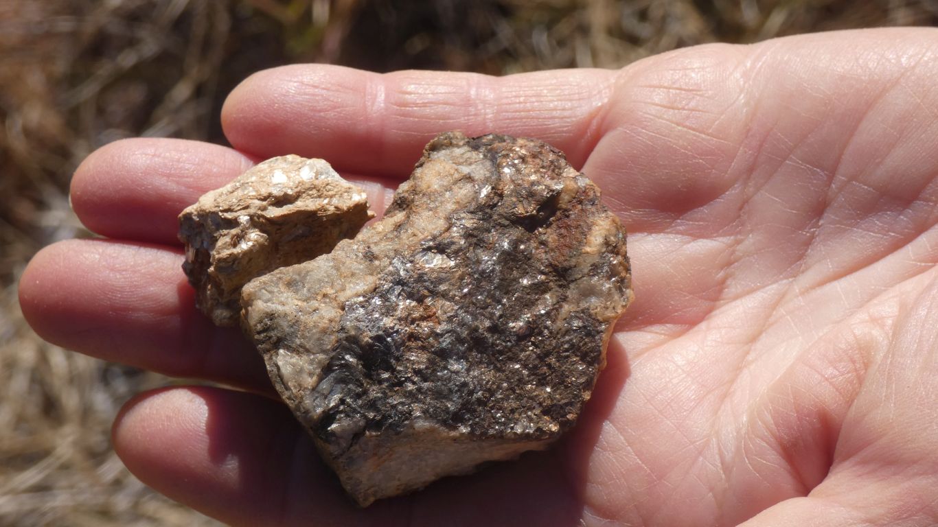
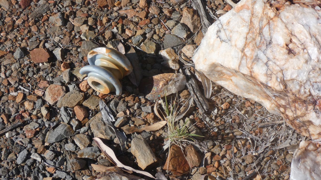
All sorts of coloured rocks.
A lot of mica. We suspect the dark bits are wolframite, assuming the name of the hill has some relevance.
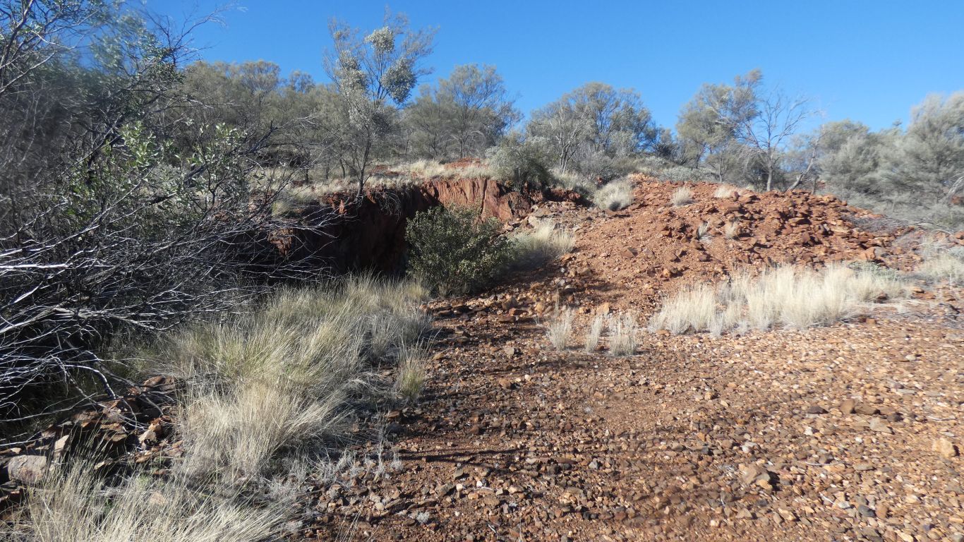
The interesting bits seemed to be at the bottom of the hill. A lot of the ground further up the hill has been dug out.
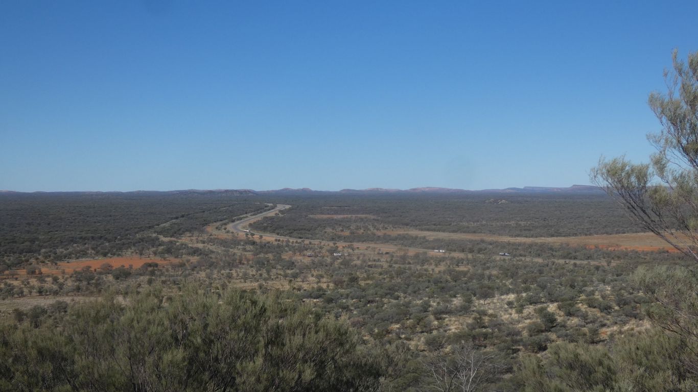
Our turnoff just on the bend.
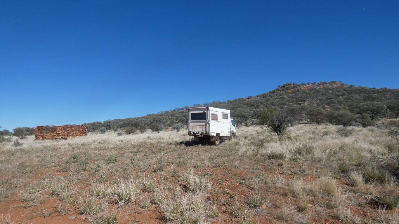
The truck is about centre of the pic. Stone hut to its right.
To the right is an old airstrip. Beyond the hill is a square cleared area. We assume a road building depot. On the satellite view there are buildings and we counted about 40 vehicles.
Empty now.
Neptide Mineral Exploration looked for a tungsten reef in 1973 using a front end loader and bulldozer. While they found indications of tungsten there was nothing worth persuing.
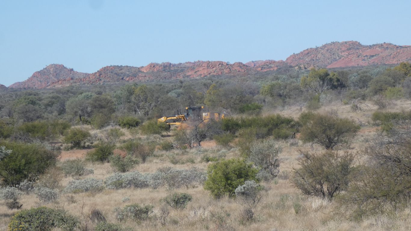
Litchfield Minerals looked further afield in 2024 finding indications of copper and tungsten adjacent to the airstrip and south of the hill. They also found high grades of bismuth in rock chips, which suggests gold and other minerals.
We're guessing from the 1973 exploration, or earlier.
2024 exploration was on the flat and very technical.
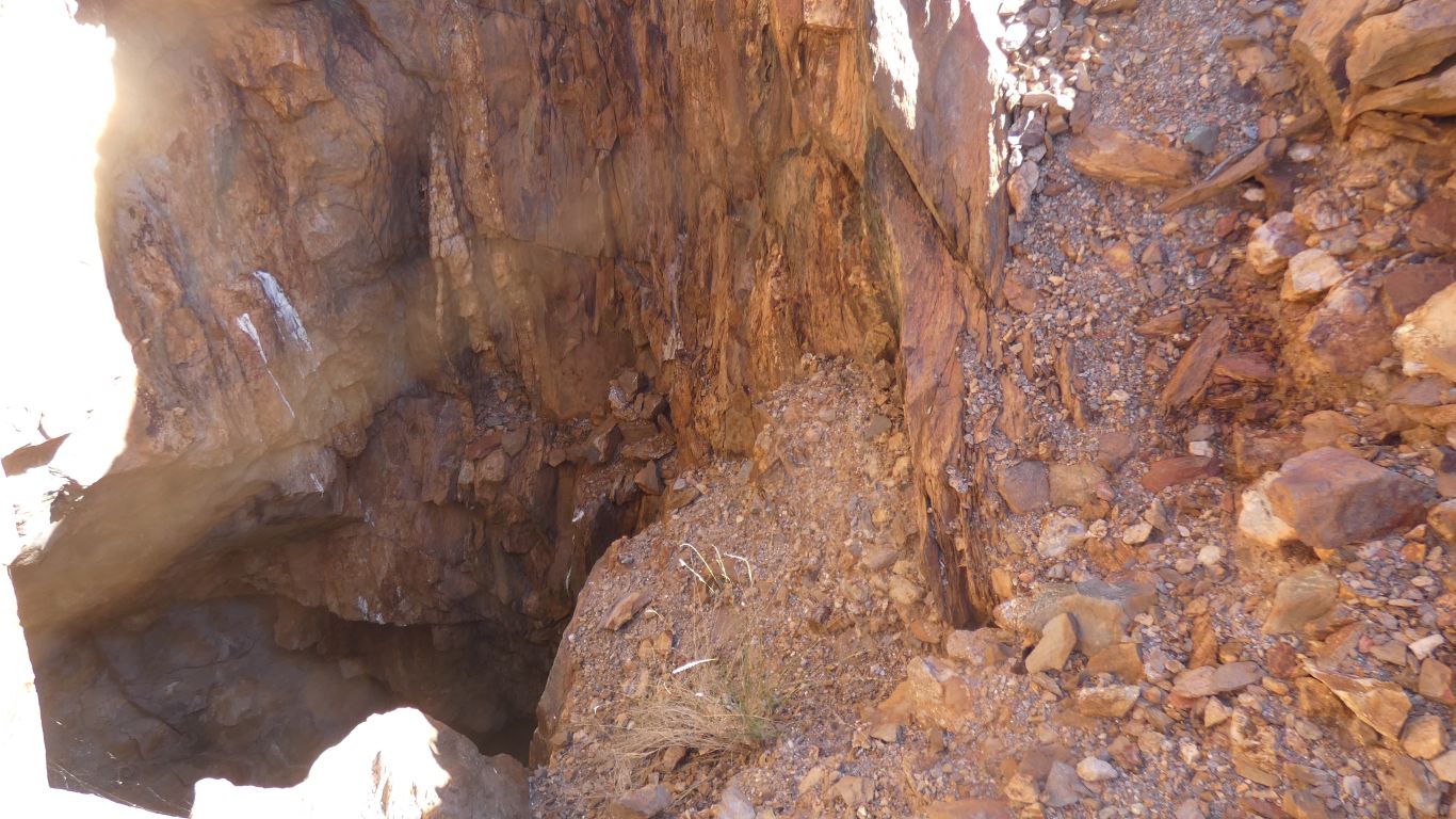
Throwing a stone in and waiting for the noise its at least 10-15m deep.
A bit of evidence of a vein to follow.
Then a vehicle about 500m away, and off they ran.

The next day a stream of about 40 vehicles went down the track. Most returned after a few hours, the rest the following day.
No matter which map or satellite pic we looked at we couldn't see what the attraction was.
Just a nice place to meet.
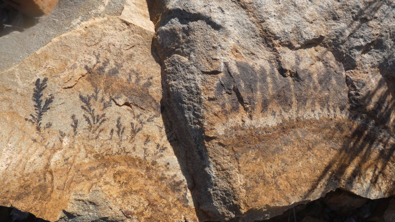
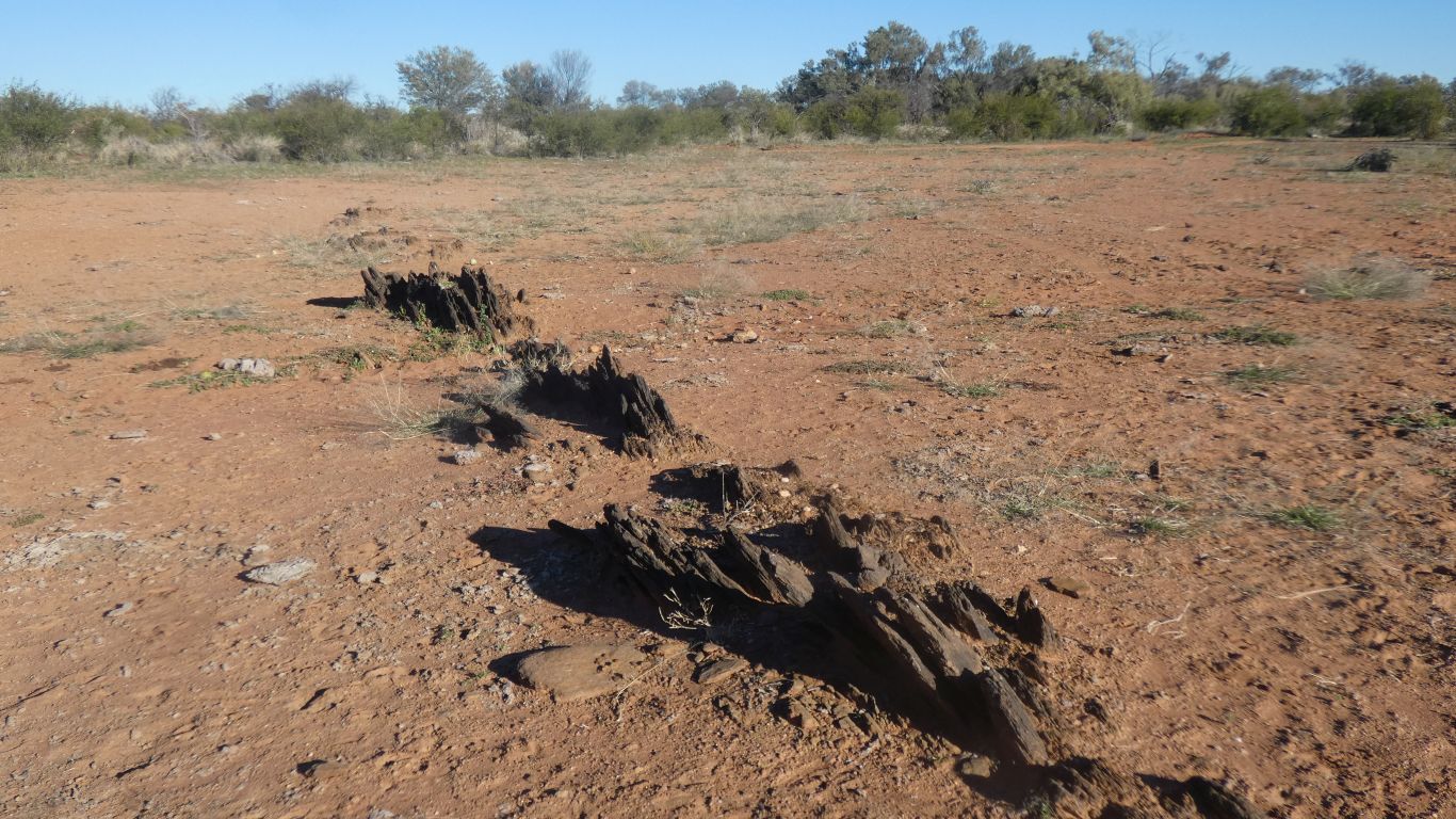
I couldn't decide if these were fossils or stains. I couldn't rub the marks off the rock so I guess fossils.
I know plant fossils are possible. But there was only one rock where they were visible here.

This time we discovered the book had got wet so pages were inseparable.
Time for a new bird book.
Our attempt at an app said it wouldn't work on our tablet.
Yup, I found it again.
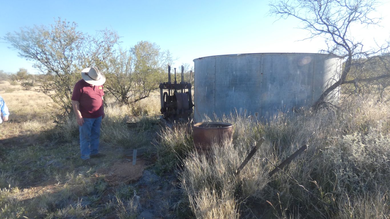
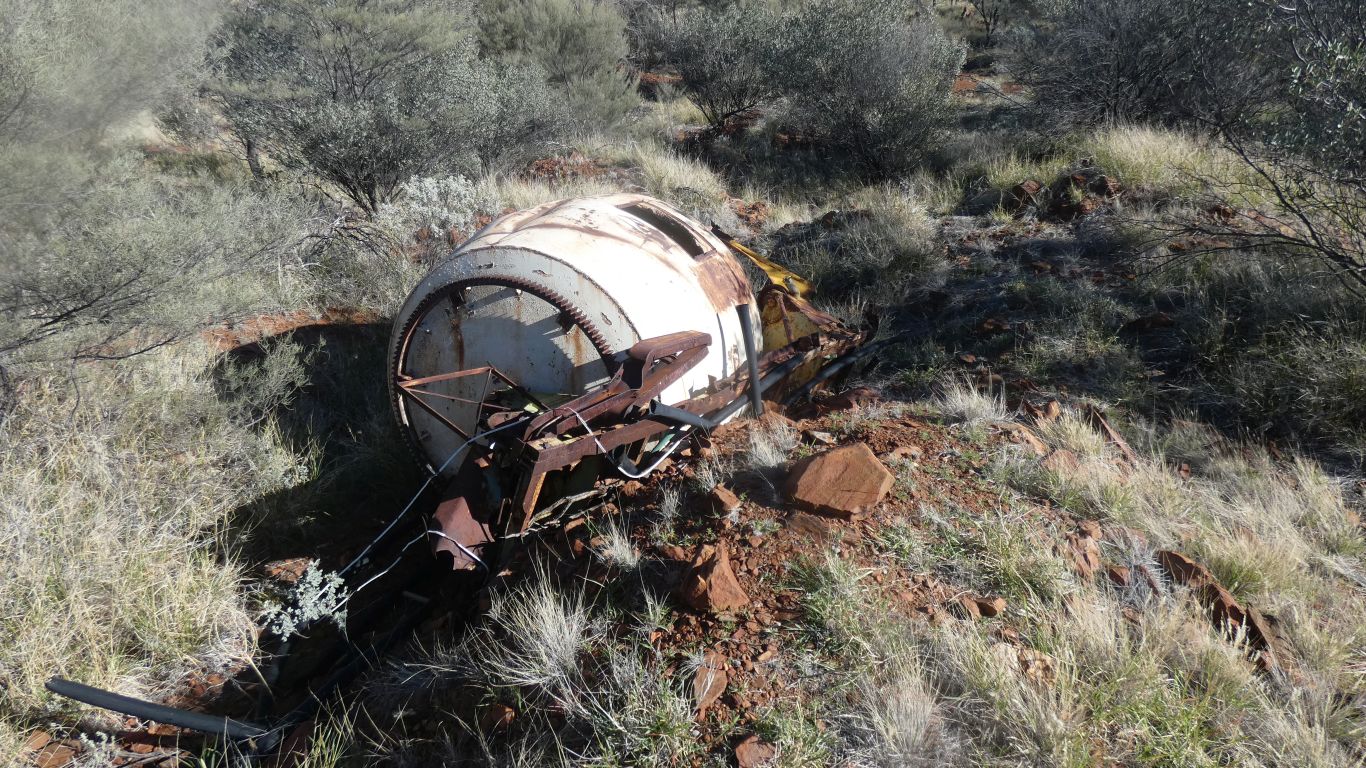
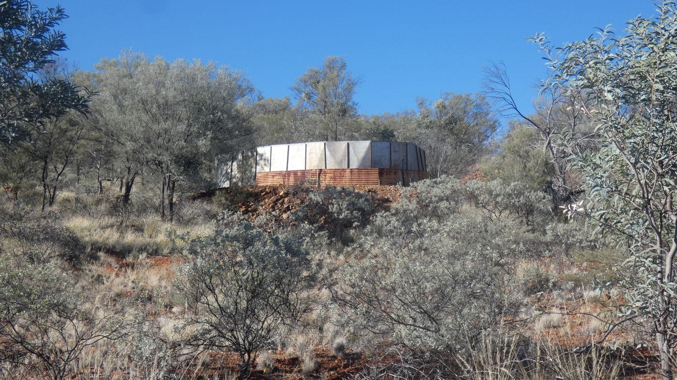
This is an old cement mixer drum. There's a few dead bags of cement - all that's left is the gone hard cement in the shape of a bag. The base of a water tank is concrete. But not much else.
A bit damp in the bottom.

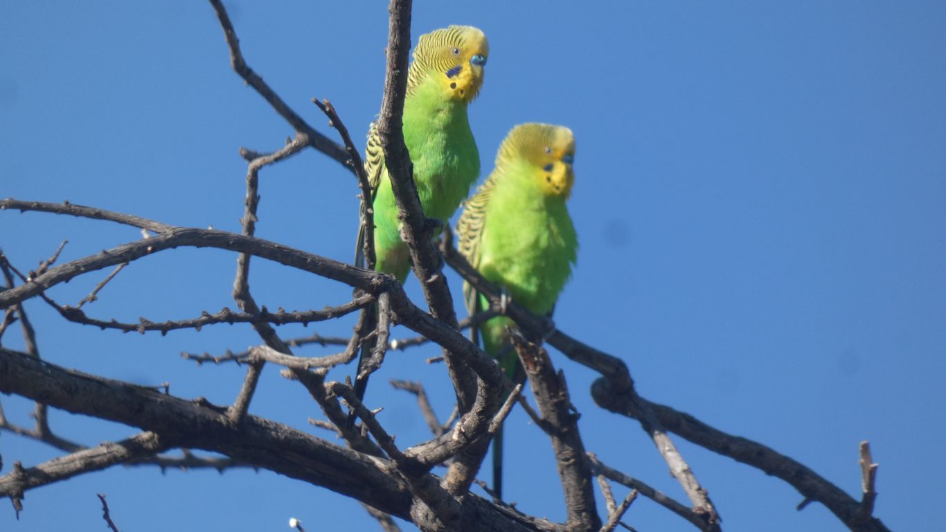
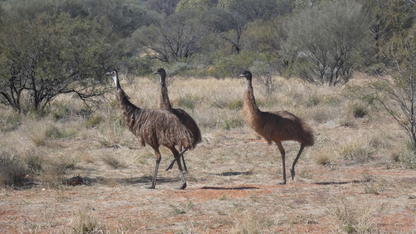
Hard to avoid zebra finches.