| |
|
|
| Christmas Pool |
 |
July 11 -12 2025 |
| |
|
|
 |
|
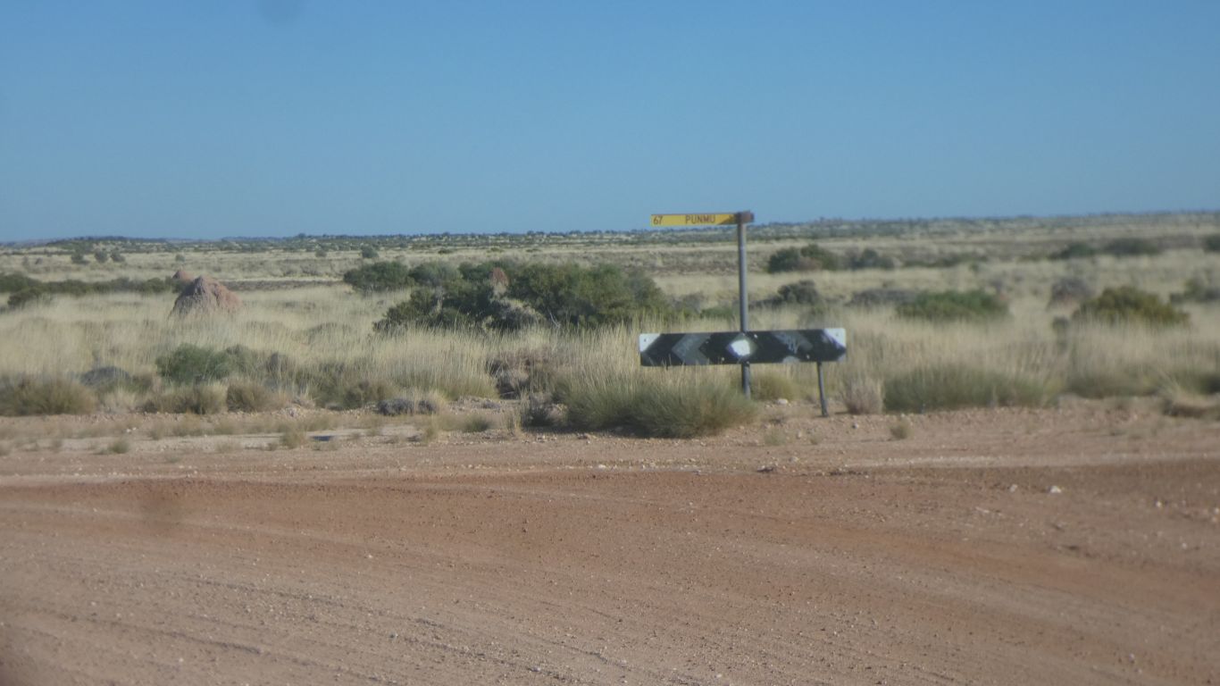
Just west of our camp the junction with Nyangumarta Highway
(Wapet Road). We take the Punmu road. |
| | | |
 |
|
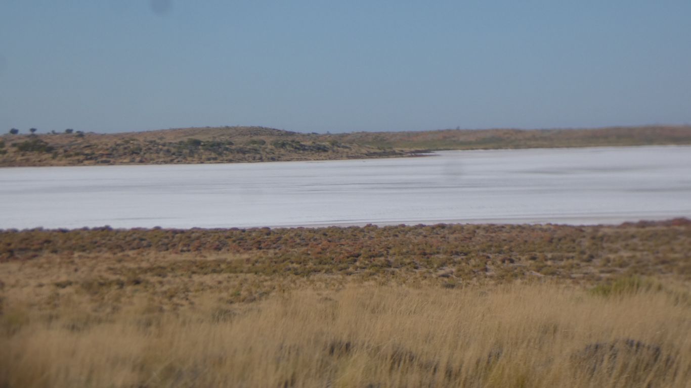
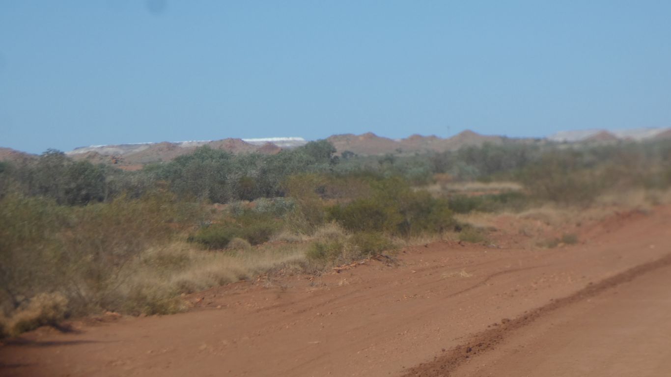
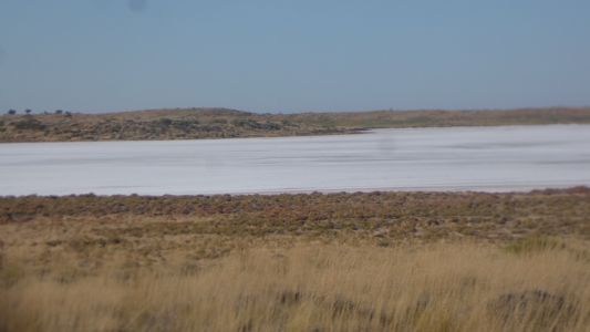
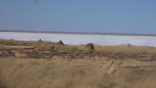
Headed south, with the Lake Auld to the east, on our left. |
| | | |
 |
|
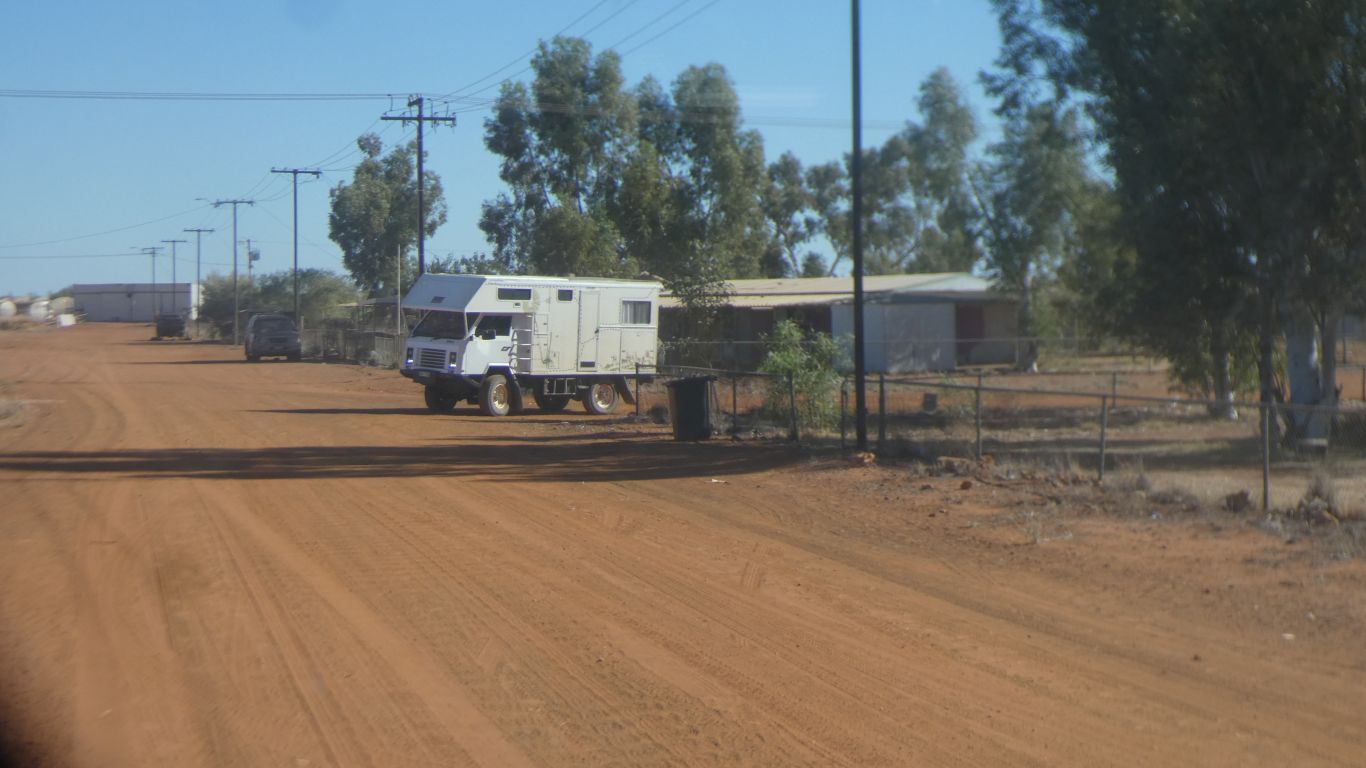
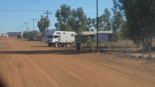
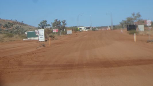
We stopped for water and food at Punmu. Water a hose in
front of the community store. Very helpful people. Fruit and vegetables
free to the community. To promote healthy eating. We made a donation to the
next person to walk in the store with no money.
Bottles of water $1. Can of coke $6. |
| | | |
 |
|
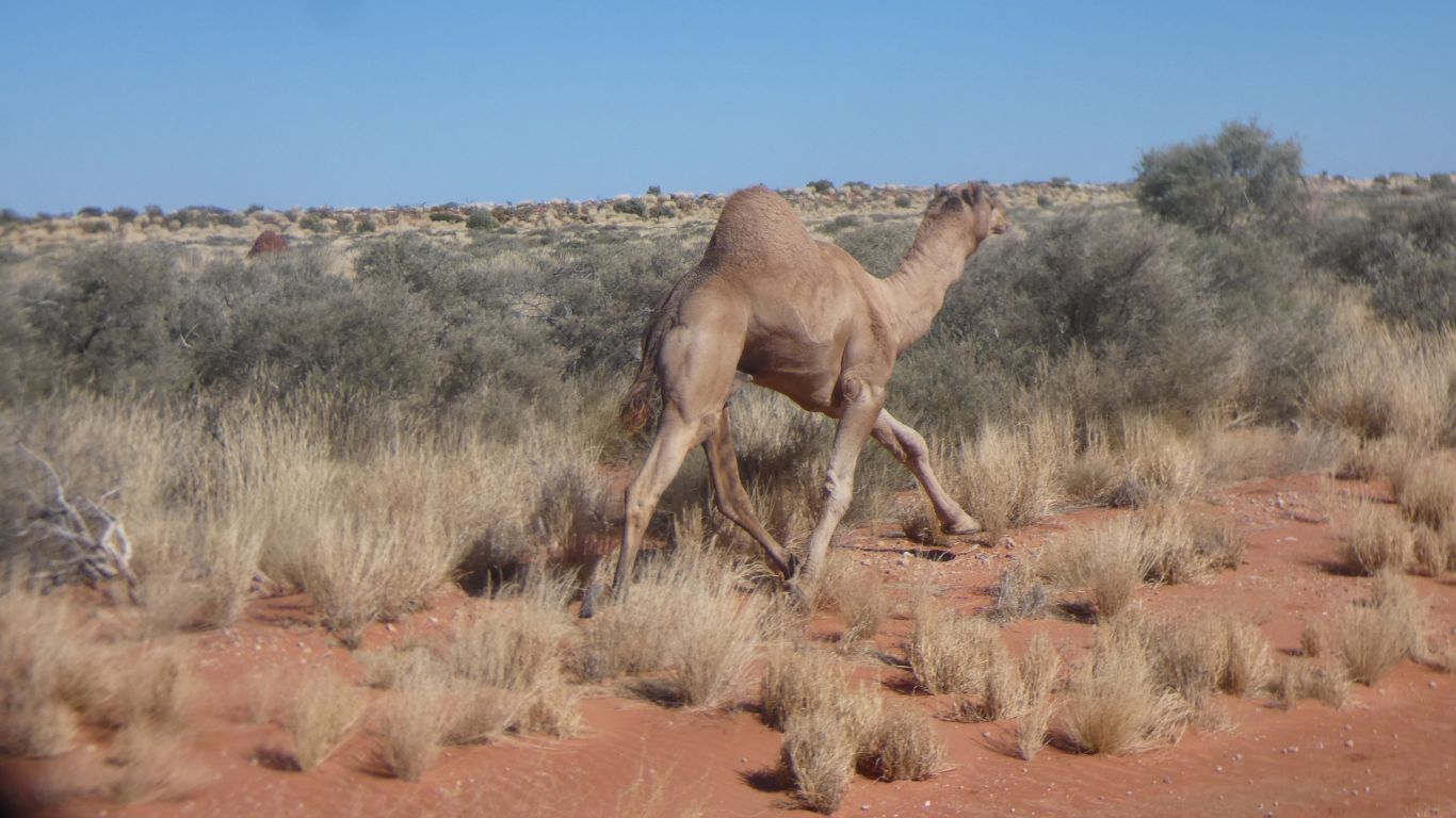
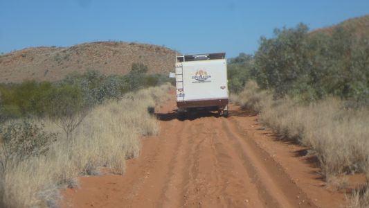
Needed gps street finder to extricate ourselves from Punmu.
Headed west, towards Telfter Mine.
We followed the camel along the road - no option really - until it veered
off and we seized our moment to overtake. |
| | | |
 |
|
Past Lake Dora where we camped in 2018. The termite
mounds haven't changed! |
| | | |
 |
|
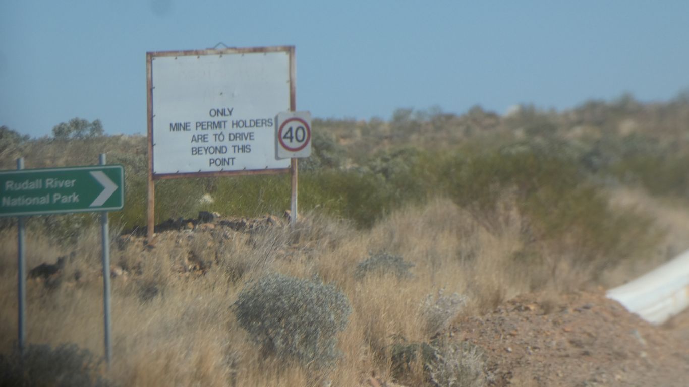
The spoil heaps of Telfer Mine come into view. A big gold
and copper mine.
We drive 20km west, then 20km south east. |
| | | |
 |
|
We have to pass through their main gate. Which takes a
while as no-one readily available to escort us. |
| | | |
 |
|
Some complicated directions. Apparently someone with a
caravan drove past a big sign pointing to Rudall River National Park, and
another sign saying Restricted Area and ended in the wrong place. So we
all suffer.
The route past the mine is exactly and precisely what is on our digital
maps which we have in the cab displayed with our location on a tablet. |
| | | |
 |
|
After a couple of km we came upon an exploration caravan
hire vehicle delivering a caravan. The sand a little soft. Driver was
trying to use maxtrax to extricate. Not much use. And no 4wd working on the
landcruiser.
A second vehicle of the same company returned to pull him out. |
| | | |
 |
|
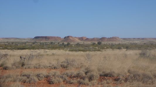
We are approaching the Paterson Range as we drive south. |
| | | |
 |
|
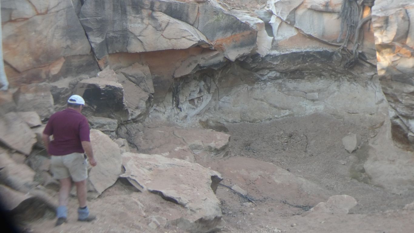
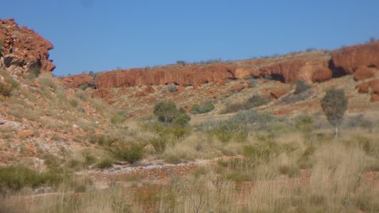
Christmas Pool is a dot on the map. We are tiring. Peter
recalls camping there in 2005. We followed the track in. |
| | | |
 |
|
The pool is not where the map says it is. Its at the end of
the track. |
| | | |
 |
|
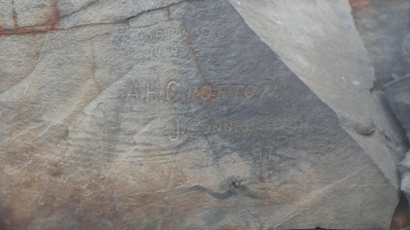
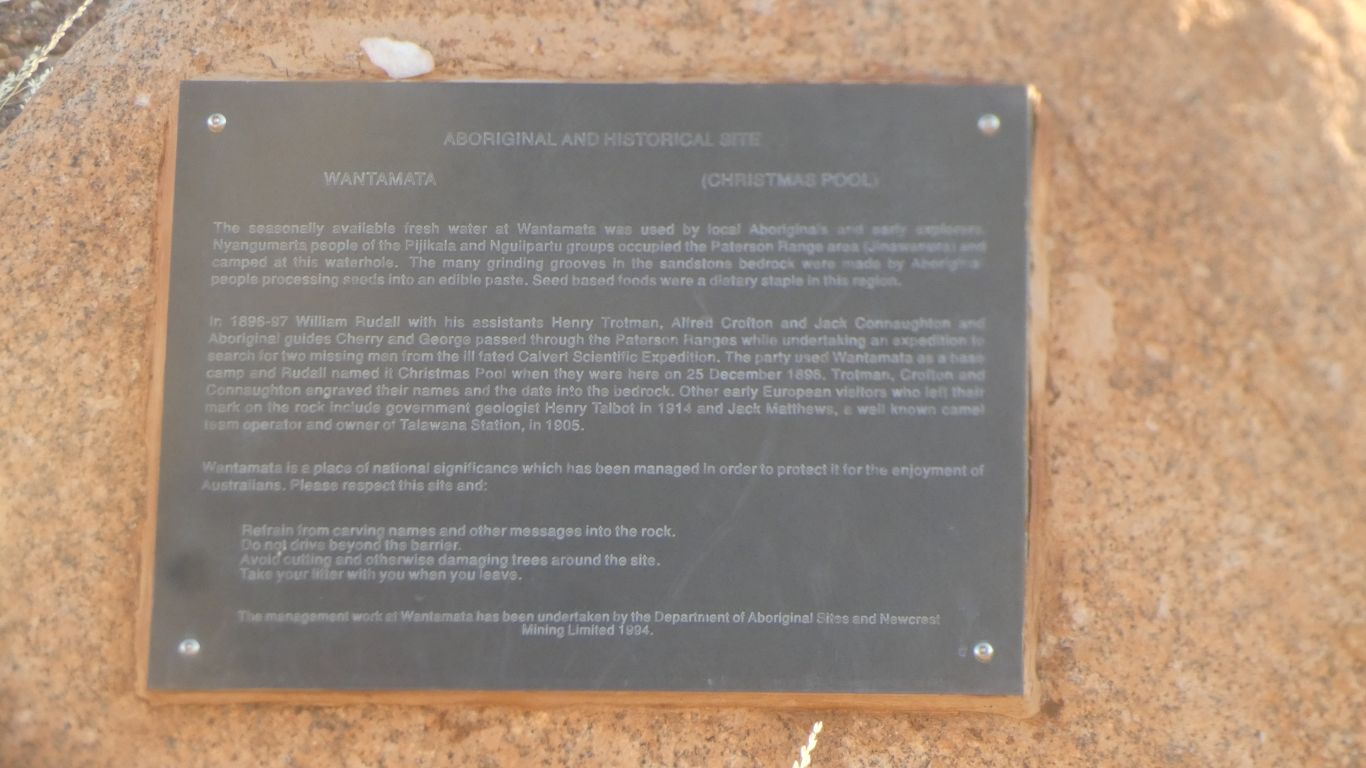
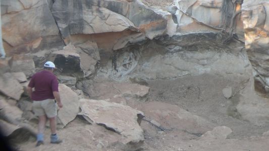
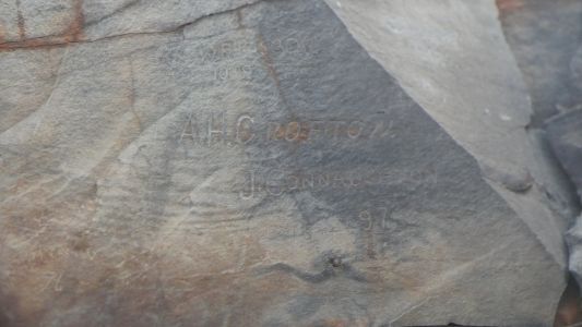
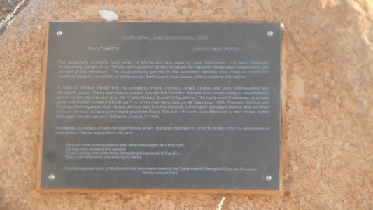
Complete with names carved in the walls in 1876. The year
the pool was first visited by Europeans. Christmas day, 1876. |
| | | |
 |
|
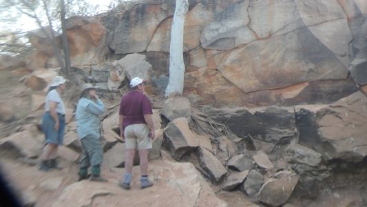
This required detailed inspection and discussion. |
| | | |
 |
|
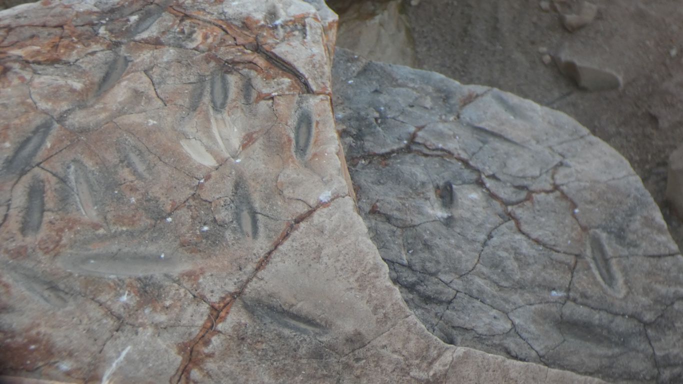
We found the deep grooves where seeds were ground. |
| | | |
 |
|
And finally the commemorative plaque describing the pool. |
| | | |
 |
|
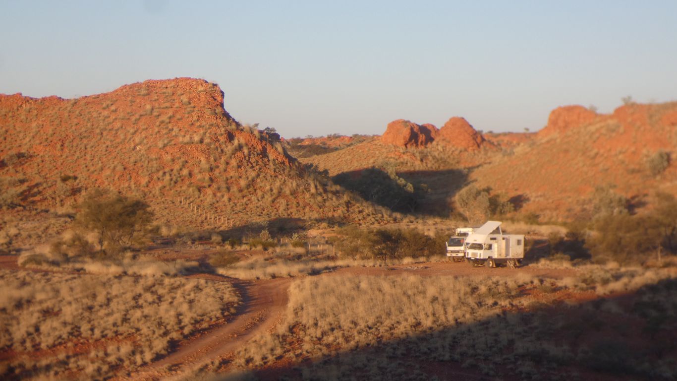
An evening walk up the nearest hill to our west, to look
back at camp bathed in the rays of a setting sun. |
| | | |
 |
|
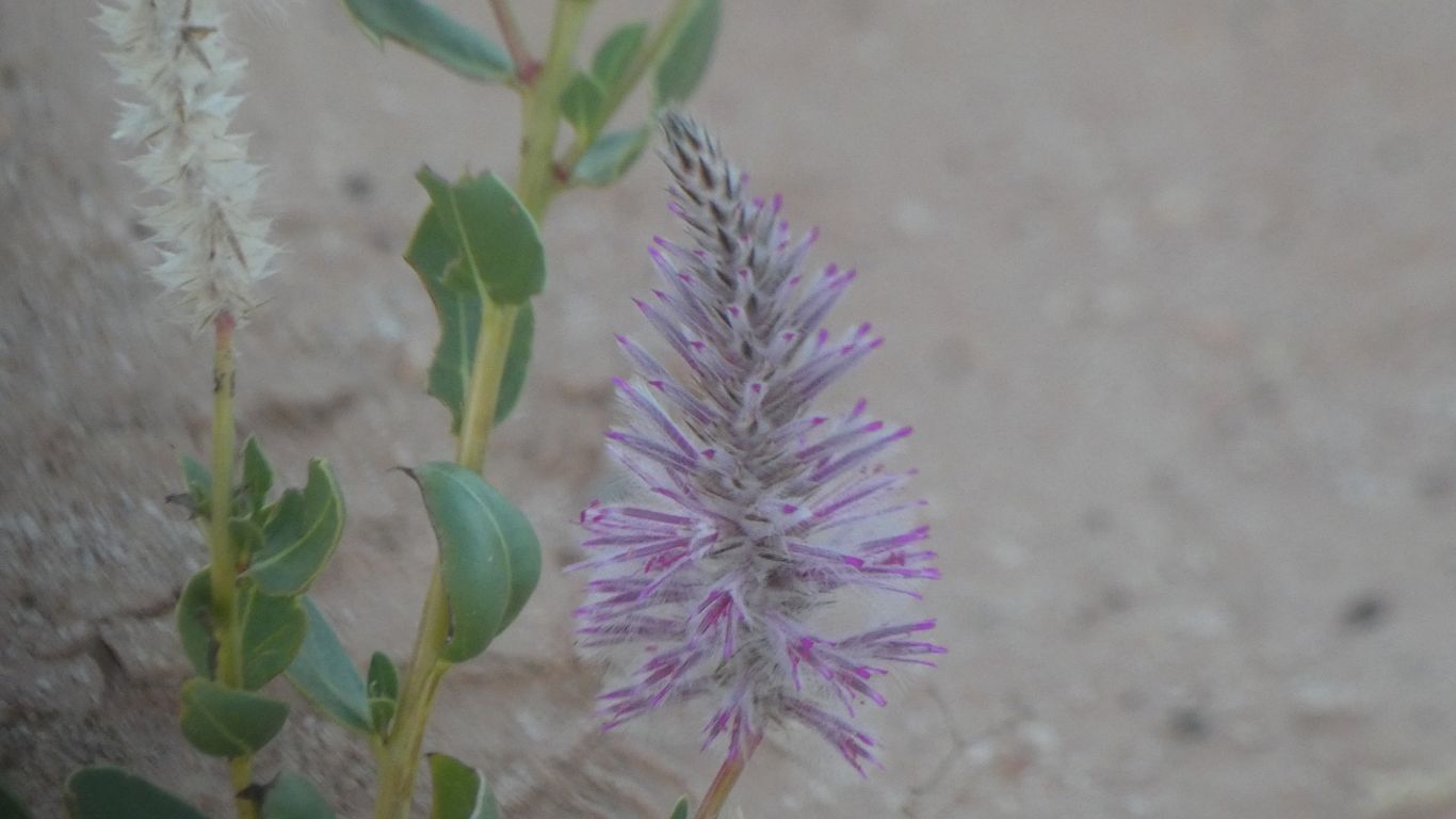
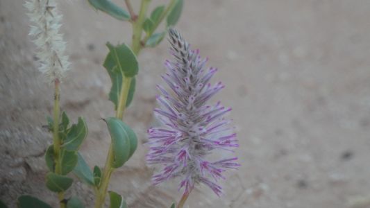
Last camp but several there was camel dung at the bottom of
our steps. A minor hiccough on my part that caused memories of other strange
step arrangements. This time a mulla mulla.
Don't step on the flora. |
| | | |
 |
|
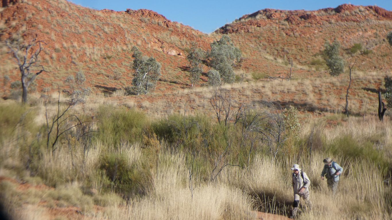
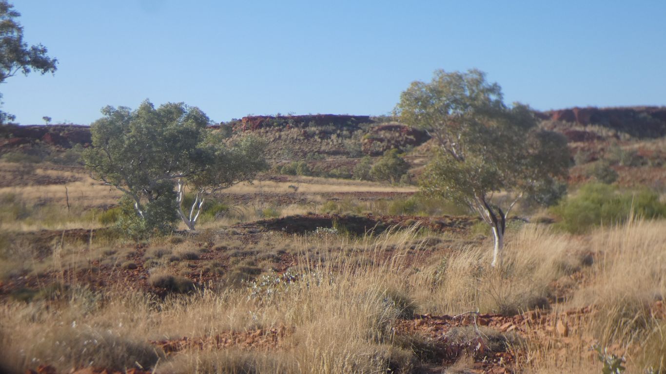
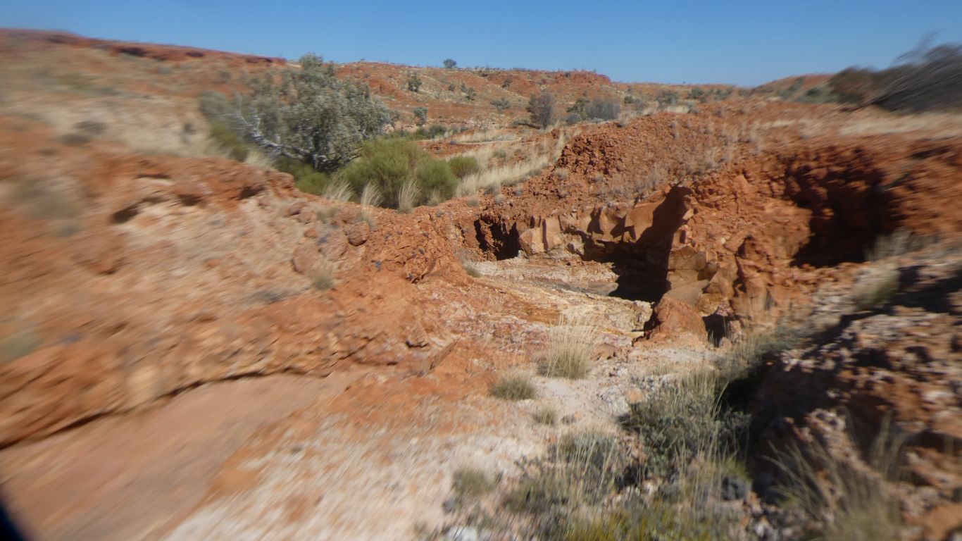
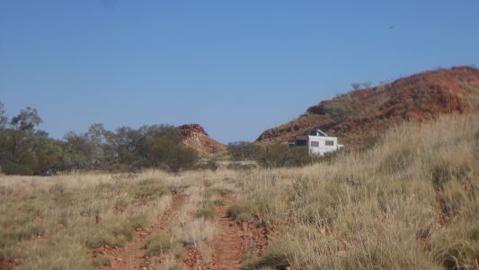
Next day a walk up the valley. Follow the remnants of a
disused, overgrown, vague, 4wd vehicle track. |
| | | |
 |
|
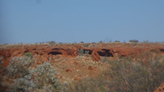
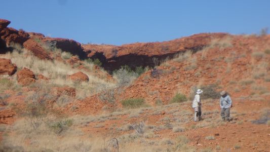
Beautiful country. We are in search of a cave that Peter
recalls from 2005. Even with pics.
We also found a mention in ExplorOz. |
| | | |
 |
|
We search diligently. |
| | | |
 |
|
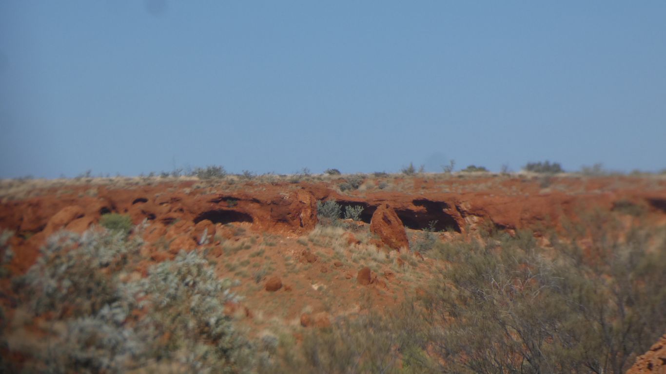
Walking past the end of the track, following the creek.
Then detouring to our south where there are likely looking overhangs.
But not the one Peter remembers. |
| | | |
 |
|
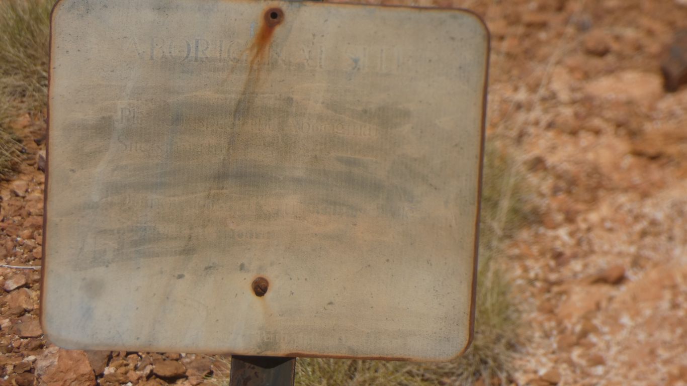
Ali and I headed for what we thought may be the one. It
wasn't, but the next cave around the corner had a notice - illegible apart
from faint "Aboriginal Site" and "Please .... etc".
Peter and Margaret headed back towards the trucks. But stopped when they recognised their cave.
They also directed us around the corner, with vocal sign language across
300m of spinfex. We forgot the radios, again! |
| | | |
 |
|
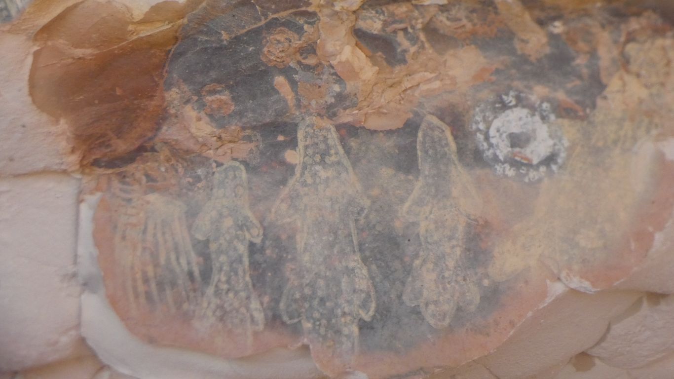
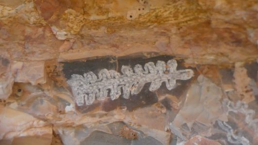
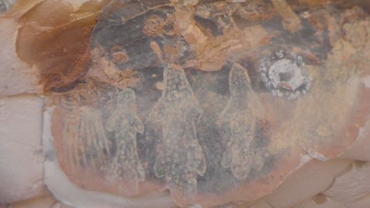
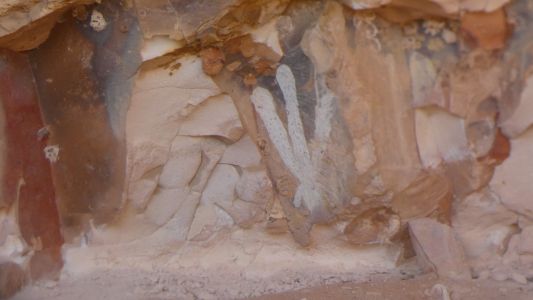
A little artwork. It looked like the cave, and
surroundings, are a source of ochre. White, yellow and pink. |
| | | |
 |
|
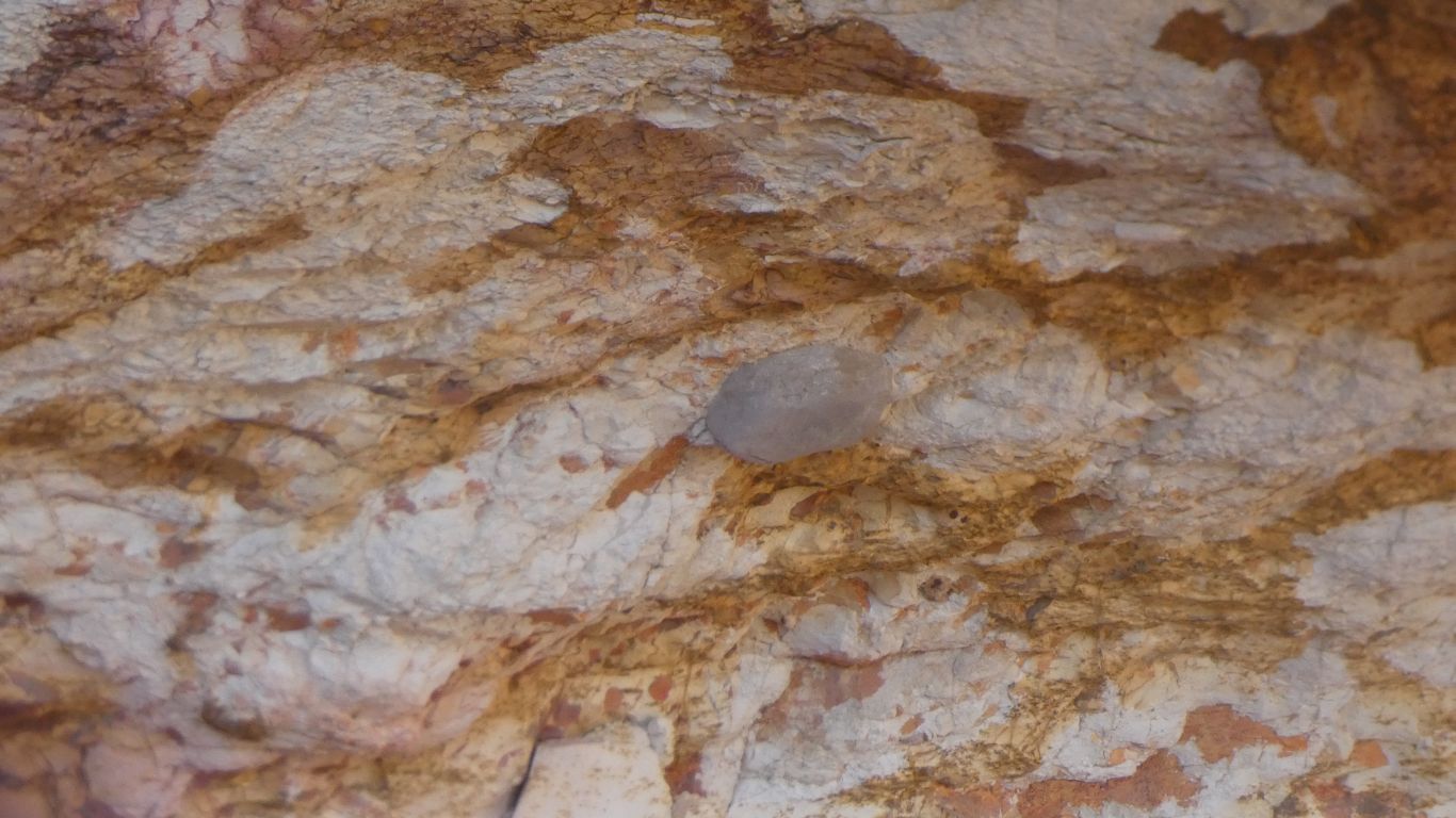
We are intrigued by the shape on the left. |
| | | |
 |
|
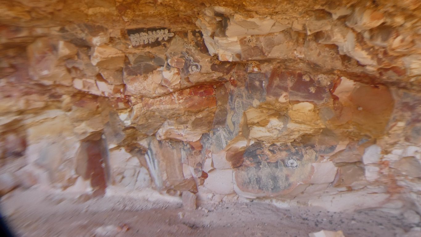
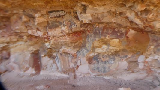
The cave is wide, about 50m, but not deep. Artwork
limited to a small area where ochre is most present.
It looks like a source of white, yellow and pink ochre. Particularly
white. |
| | | |
 |
|
We work through the usual answers to "what is it?". |
| | | |
 |
|
A veritable trove. |
| | | |
 |
|
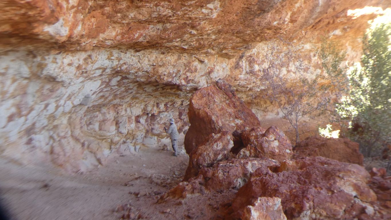
Peter and Margaret joined us. Peter examined the sign, as
did I. To the left of the hill is the remnants of the now inaccessible 4wd
track.
Visible on a satellite image.
A shorter, easier, way home. |
| | | |
 |
|
Another "what is it?". |
| | | |
 |
|
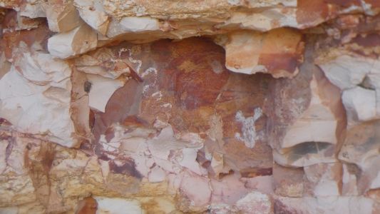
As well as the art there are a couple
of rounded large stones embedded in the roof that don't belong. The
sandstone is sedimentary. Somehow rounded stones carried with the finer
deposits. If there were lots it would be conglomerate. But just two that we
saw in the 50m of cave is a mystery. |
| | | |
 |
|
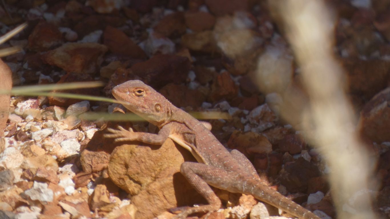
A differently disguised dragon. It was lifting its
forefeet off the ground and waving each in turn. To lose heat, as they are
wont to do. |
| | | |
 |
|
Looking back at "our cave". |
| | | |
 |
|
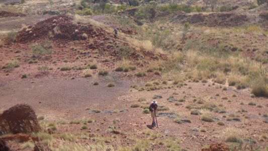
We reach the trucks after 3 1/2 hours. The distance to
the cave, one way, is 750m. We have walked 6.5km round trip. The price of
not really knowing where it is.
And so we stop, to camp another night. And do some maintenance. Me change
a switch on the vacuum loo and tighten a loose connection to the diesel
heater. Peter to fix the water pump for drinking water.
We have one visitor, on a week trip from Broome, who came and went, after
a cup of coffee. |
| | | |
| To Desert Queens Bath |
|
July 13 2025 |
| | | |