Temma, Church Rock, West Point, Green Point February 3 - 6
 
  We are doing lots of walking. In preparation, hopefully, for, you guessed, more walking.

Though hopefully some longer, overnight, walks.

So, an attempt to circumnavigate Rebecca Lagoon.

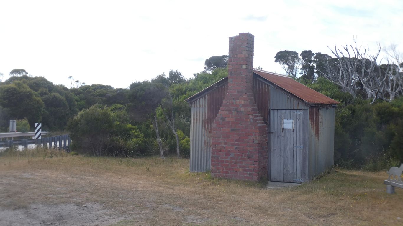
First is Rebecca Hut. There was a series of huts built in 1960's as cattle moved north to south to support various mines.

The bricks for the chimney are very red, and very regular.

     
  We still don't know who Rebecca was.

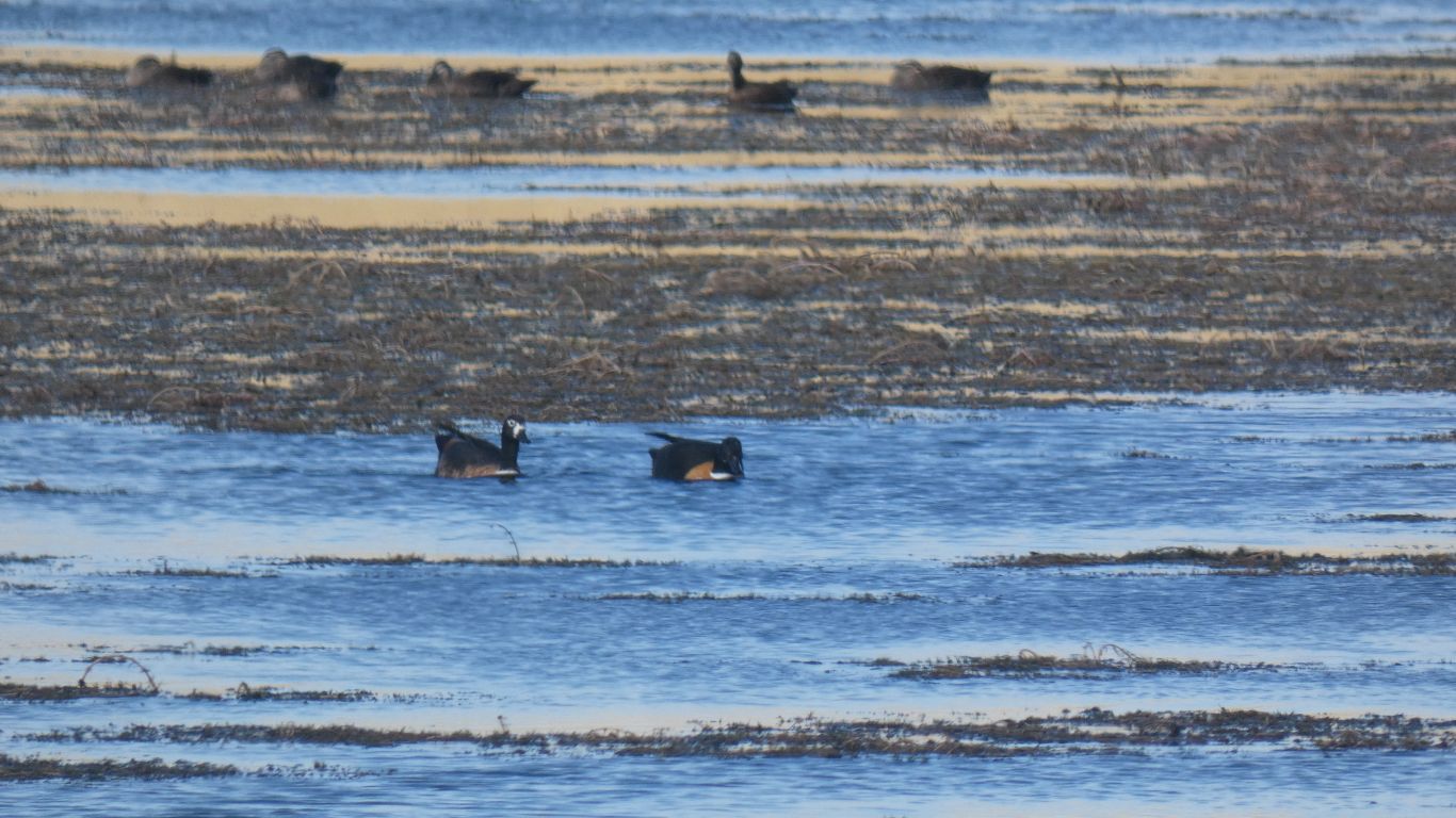
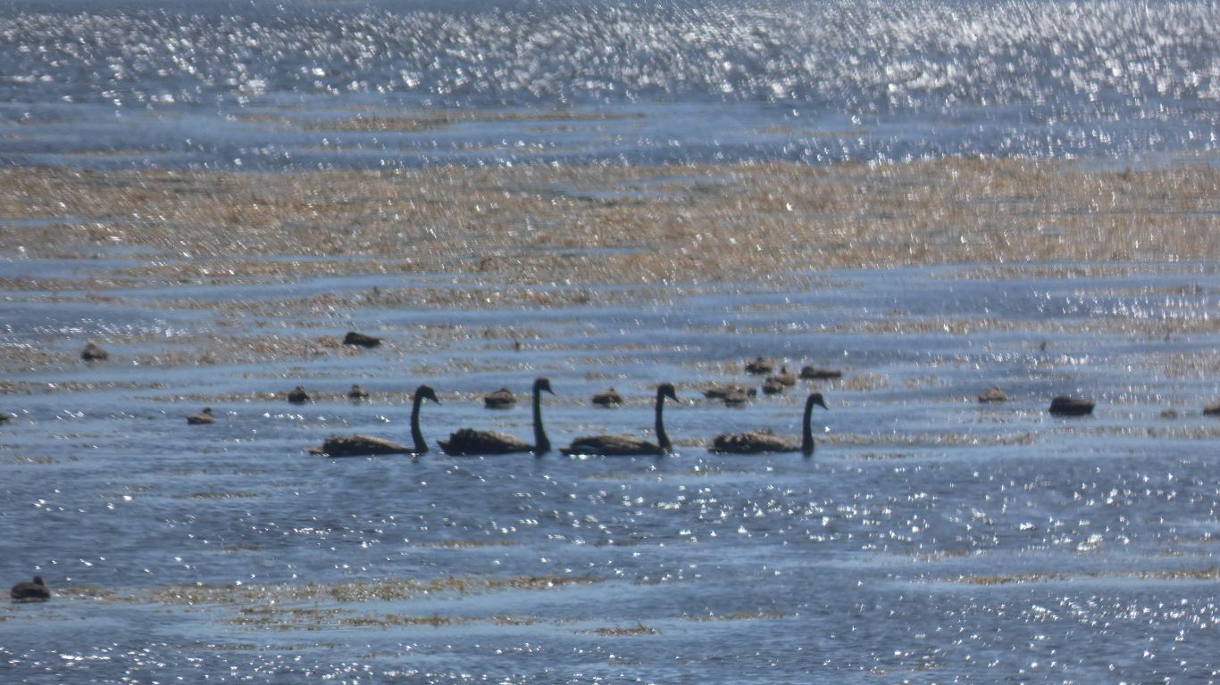
A few shelducks on the lagoon. Some swans. And ducks.

     
  Still like cotton grass. Hares Tail grass. It really is a grass.

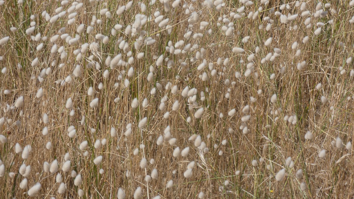
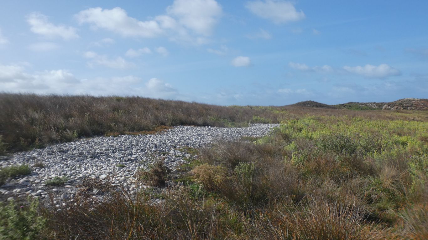
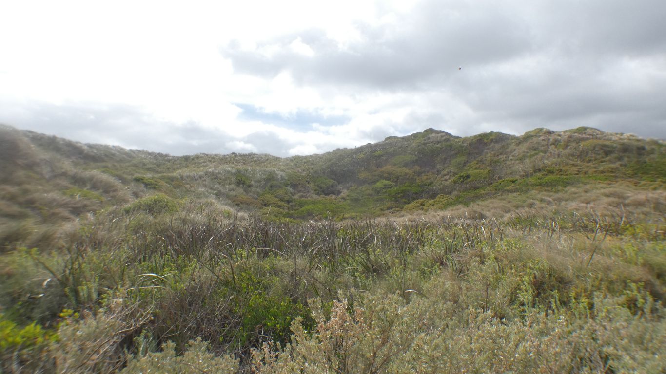
When we stop to think we realise we have been seeing grass as well as sedge for a while.

     
  A regal convoy.
     
  We'd imagined a track around the lagoon. Alas, no. But tracks set back through the dunes.

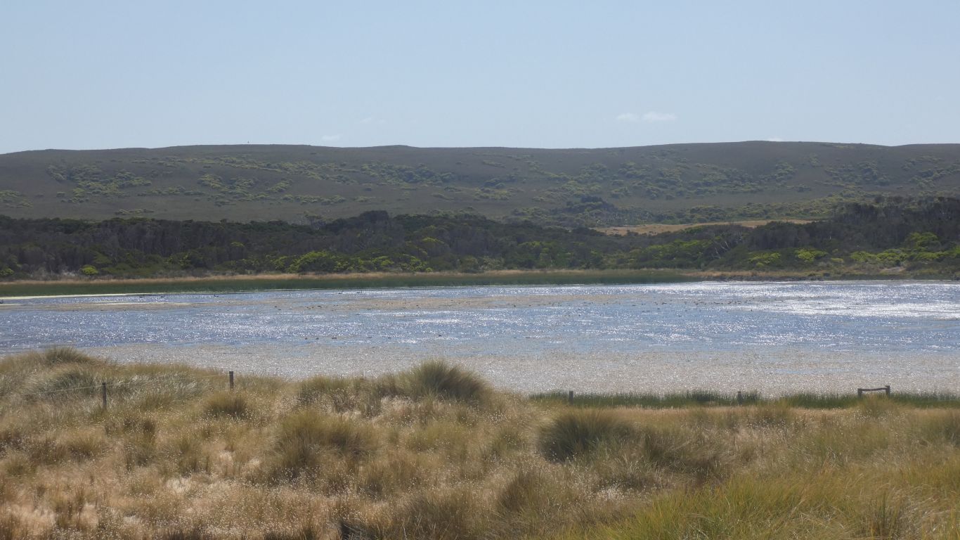
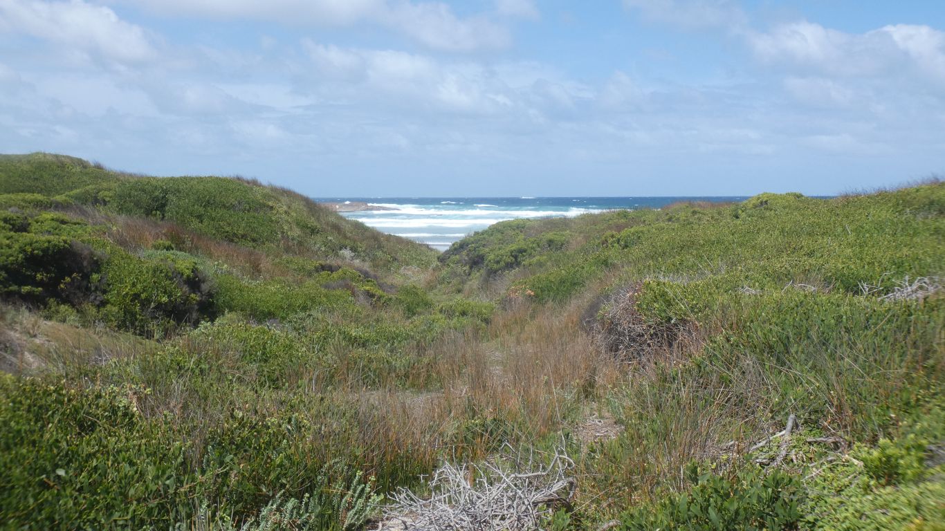
We walked along the road south, then along sandy 4wd tracks.

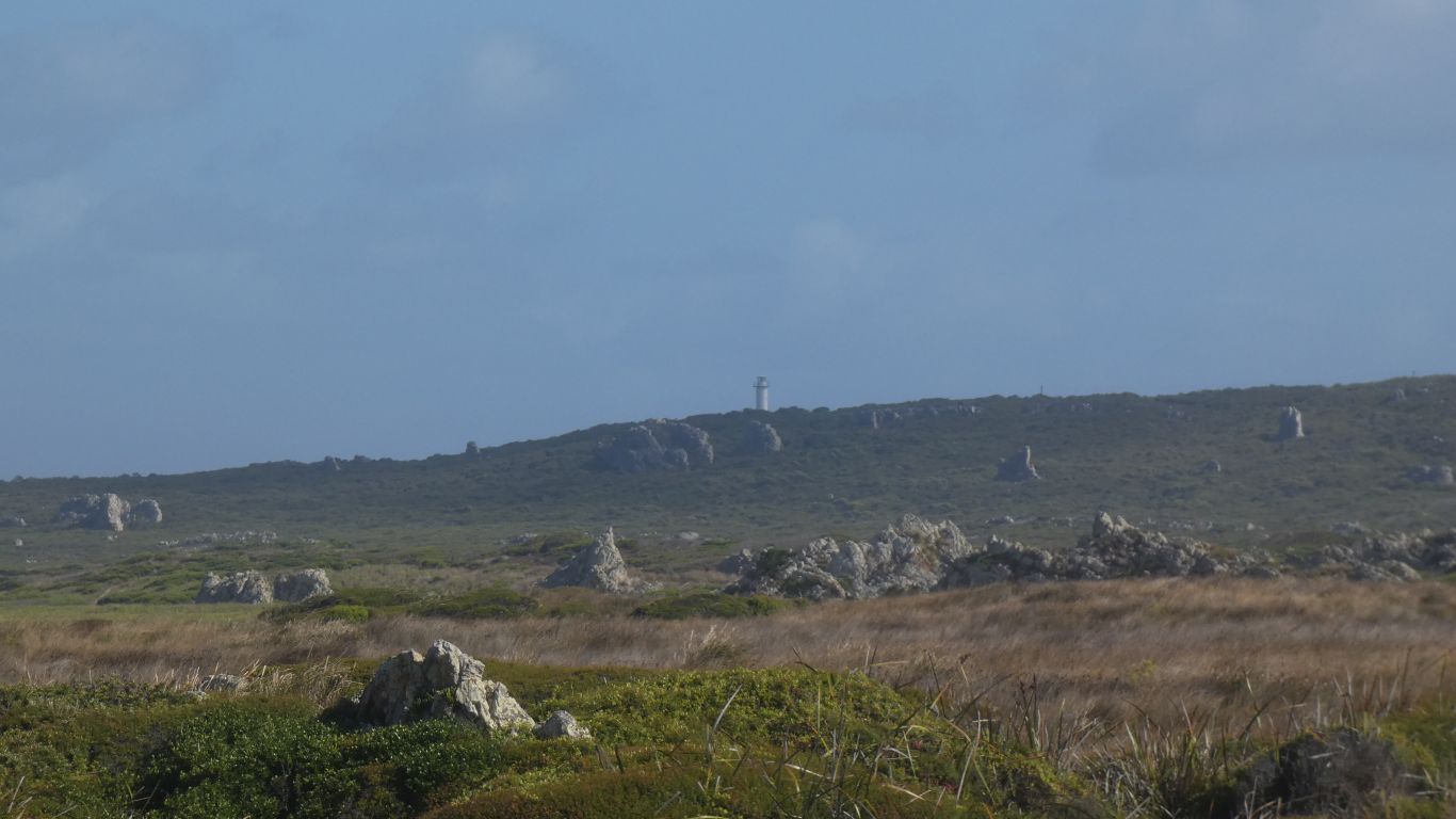
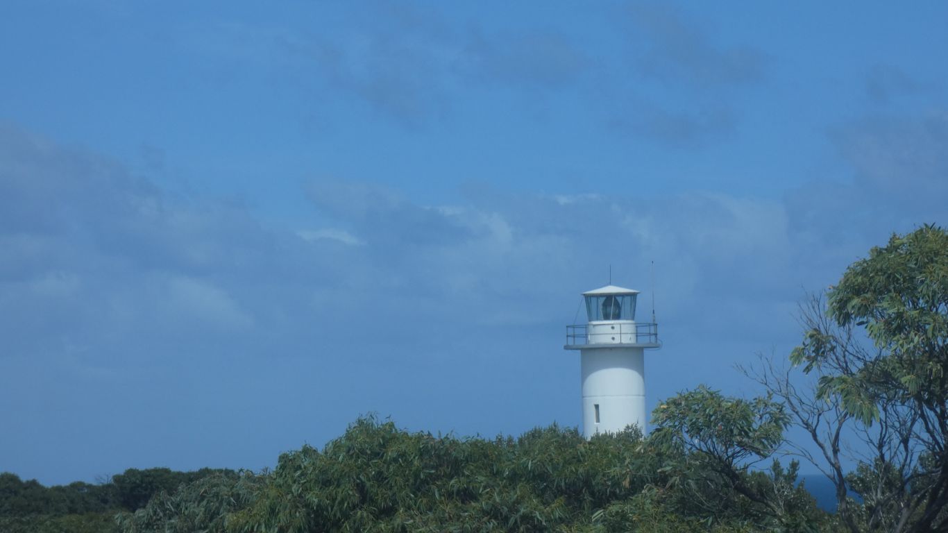
The viewing platform is almost opposite.

     
  Then north along the coast, across the creek, I think Rebecca Creek, to return to camp at Camp Elsewhere.
     
  We first saw it soaring above the hill.

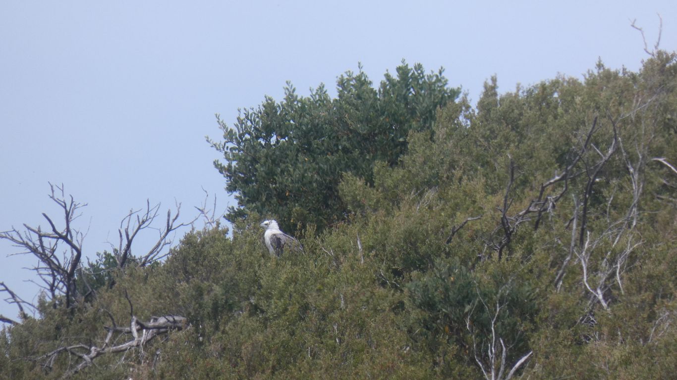
Then realised the white spot in the distance was a white bellied sea eagle.

     
  Its just to the left of the top of the hill.
     
  After two nights we moved on. First south, to Temma, and where roads deteriorate.

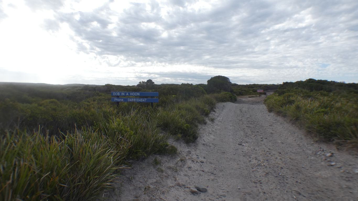
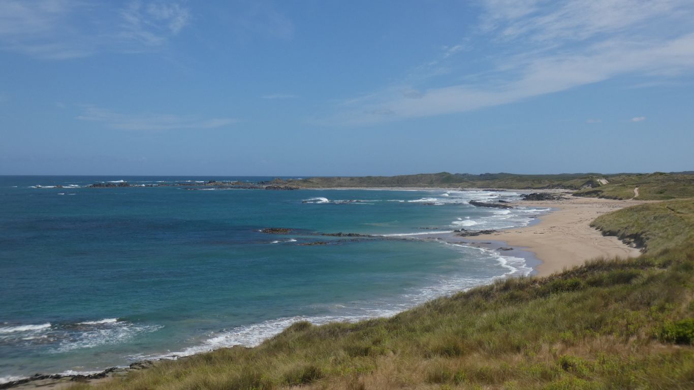
A recreational permit required, with access to Sandy Cape.

I believe there is some beach driving, and creek crossing. We are traveling alone.

Though Sandy Cape looks interesting.

Time to travel north.

     
  Message for Mary Hopkin. For those who remember her song of Temma Harbour.

There are no coconut trees here.

Apparently the name chosen at random.

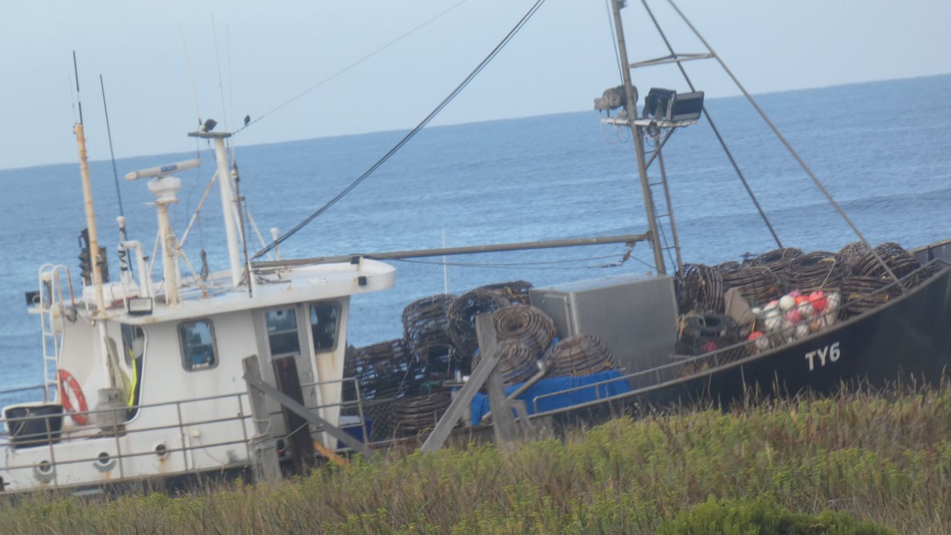
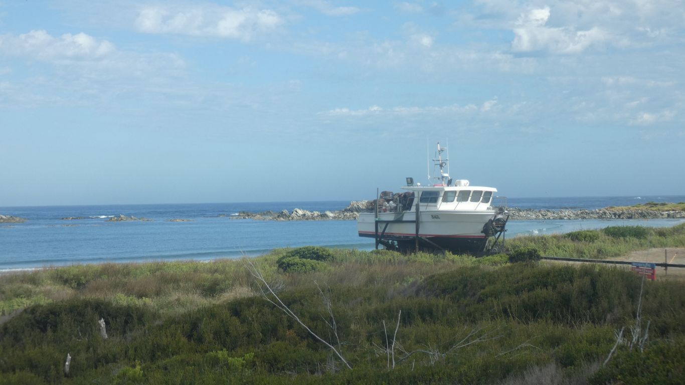
Looks like cray pots.

     
  There are passages between the rocks for boats to pass. Kept safely on shore.
     
  A walk along the beach at Sundown Point.

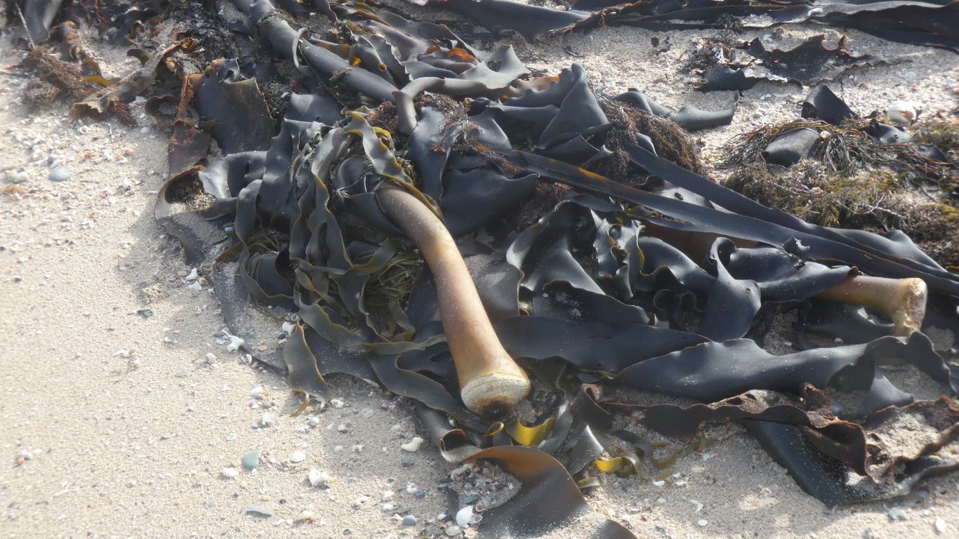
Long fronds of kelp. The holdfast broken.

     
  Just a nice place to be.
     
  Petroglyphs.


  Very faint, with little variety.
     
  We can only wonder at the meaning.

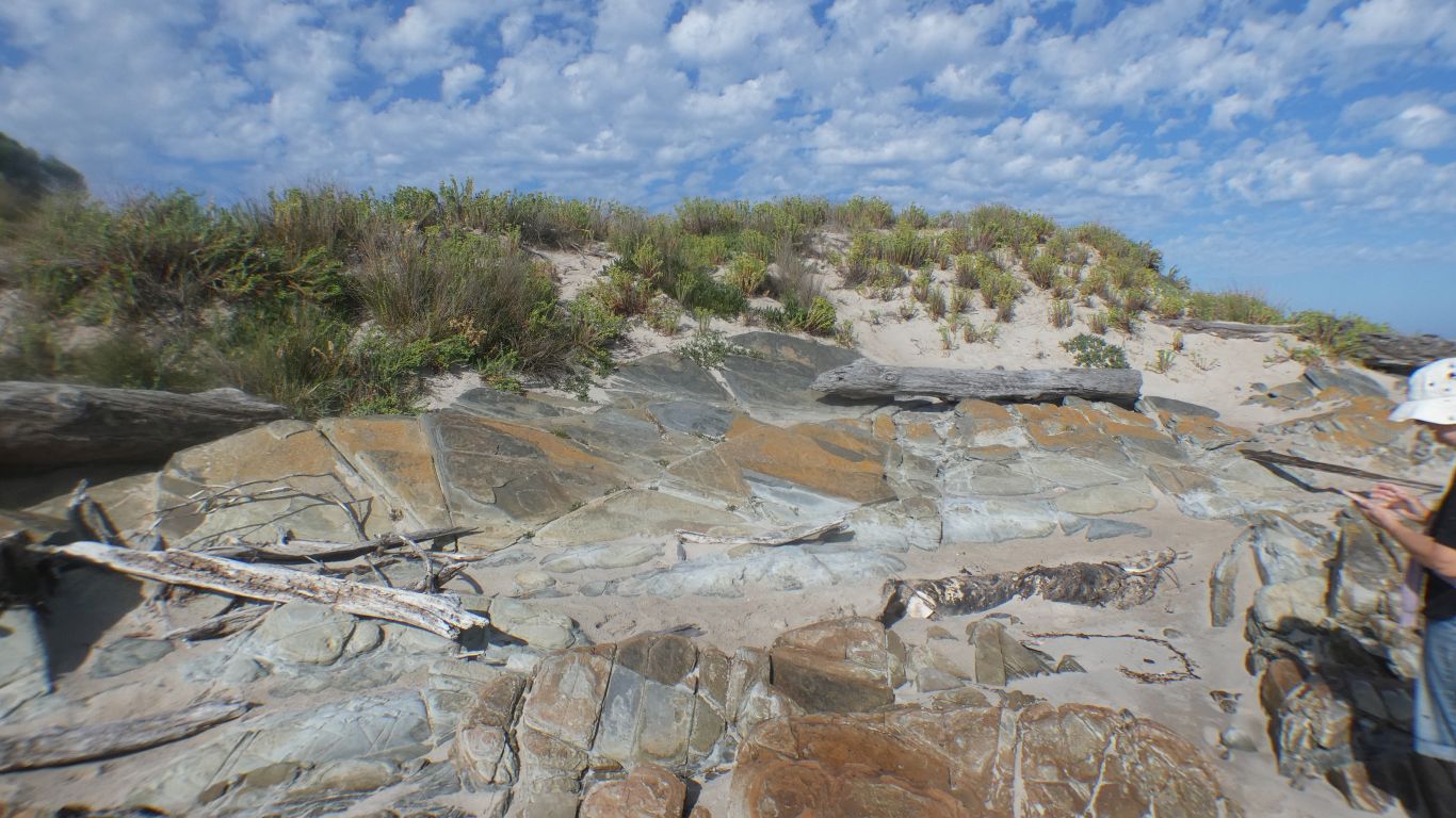
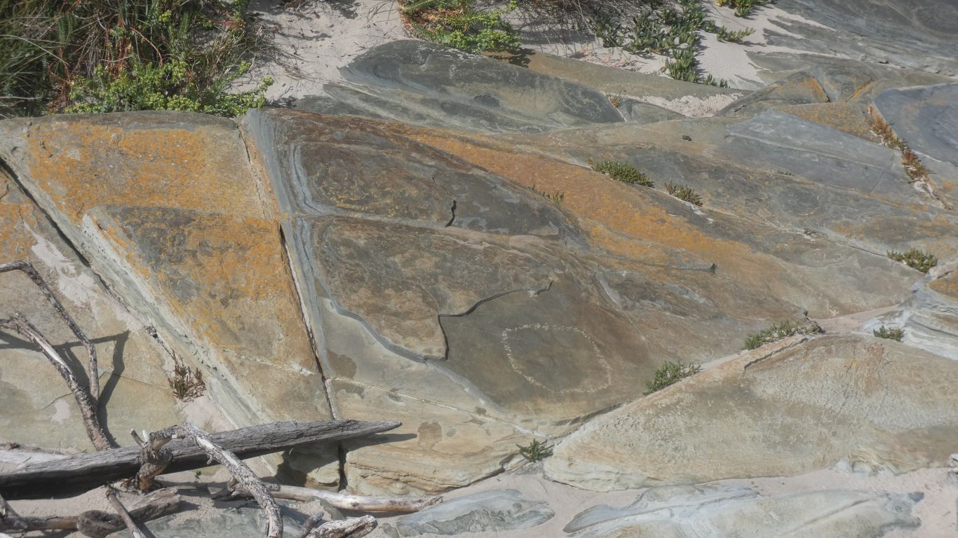
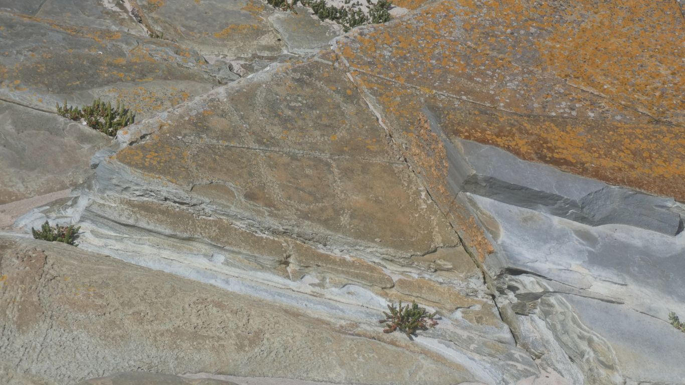
An estimate is a couple of thousand years old.

There are petroglyphs, shell middens, hut locations, and stone arrangements along the coast.

     
  Back to the truck, and continue moving north.
     
  "Edge of the World". Which of  course is only true if one believes the earth is flat.

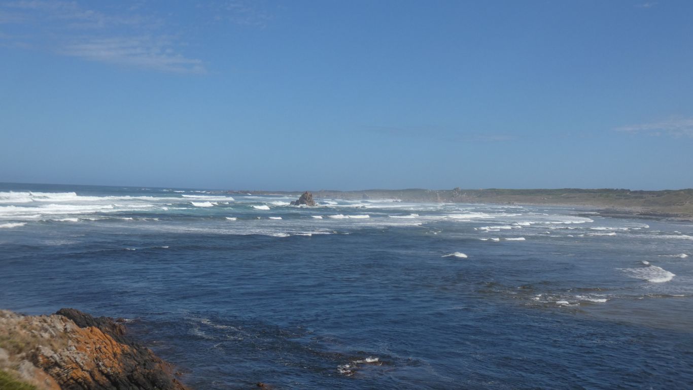
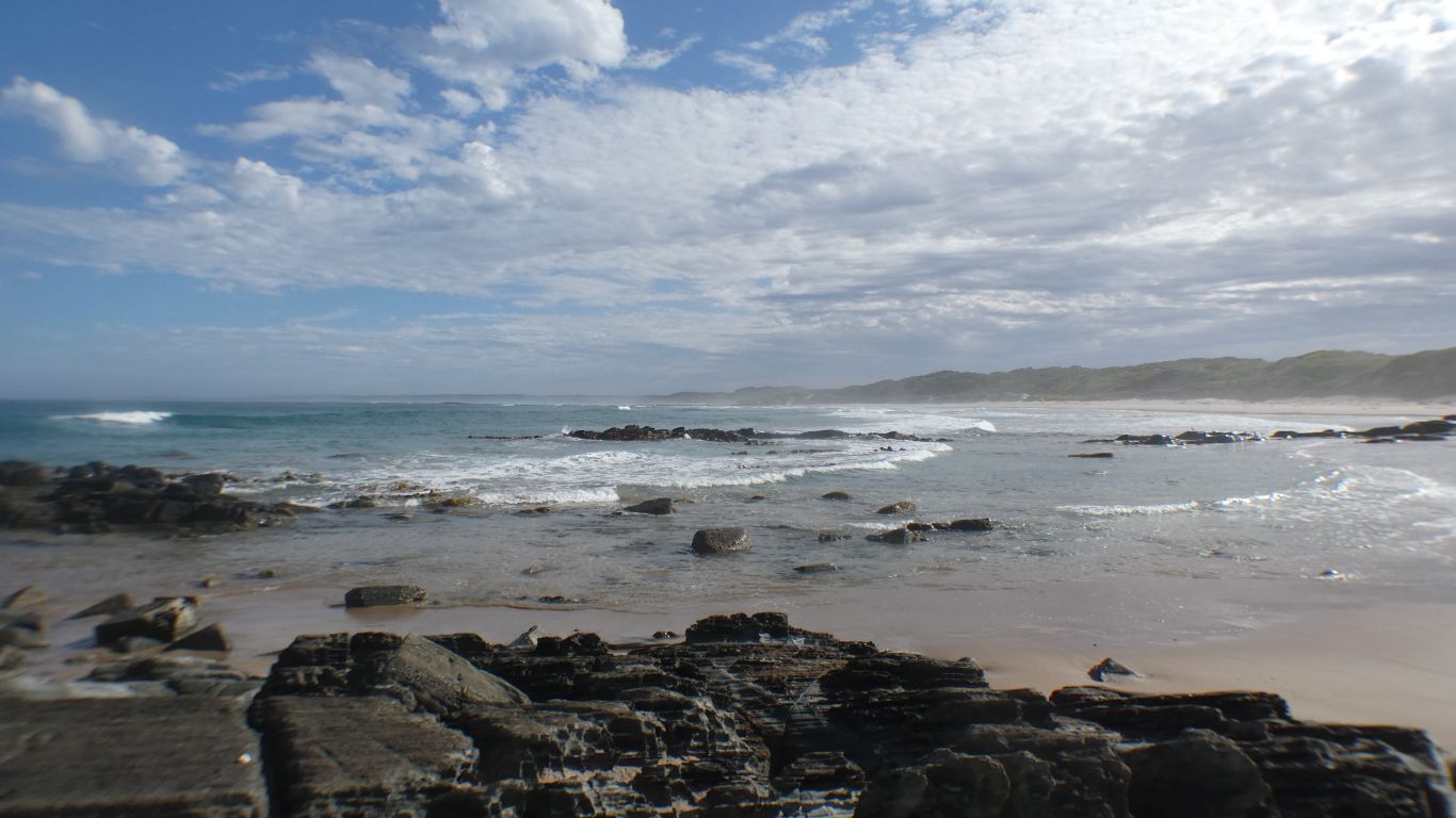
The point just to the south of Arthur River.

     
  Which has a long, single lane, bridge across it.

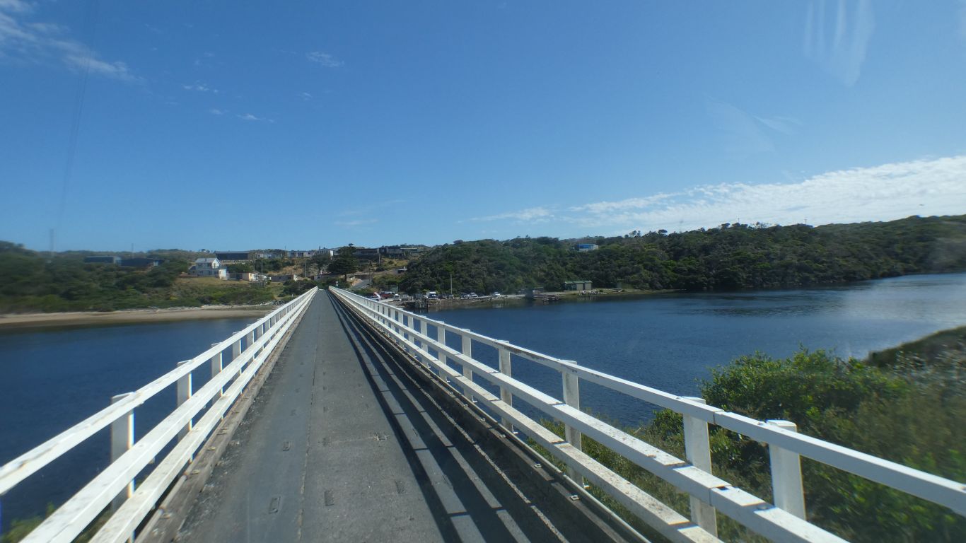
Built in 1966. Prior to that a pontoon. Prio to that .... swim? Though probably pick the right tide time and cross at the mouth.

     
  We stop at Manuka (Parks and Wildlife) campsite.

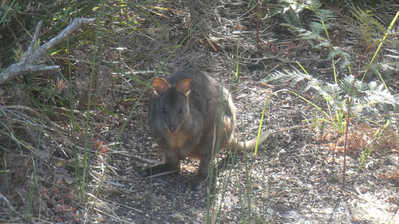
An evening visit from a pademelon.

     
  Church Rock is about 4.5km south of Arthur River along the coast.

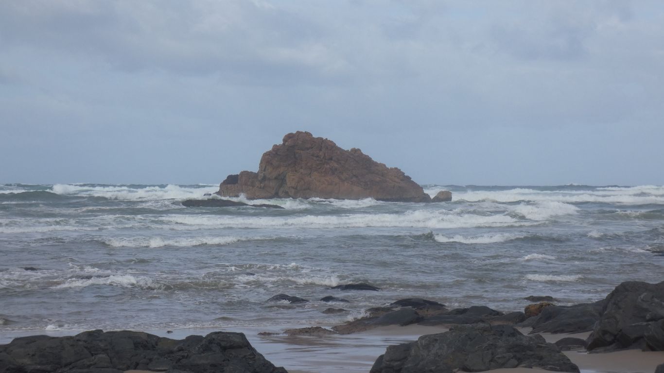
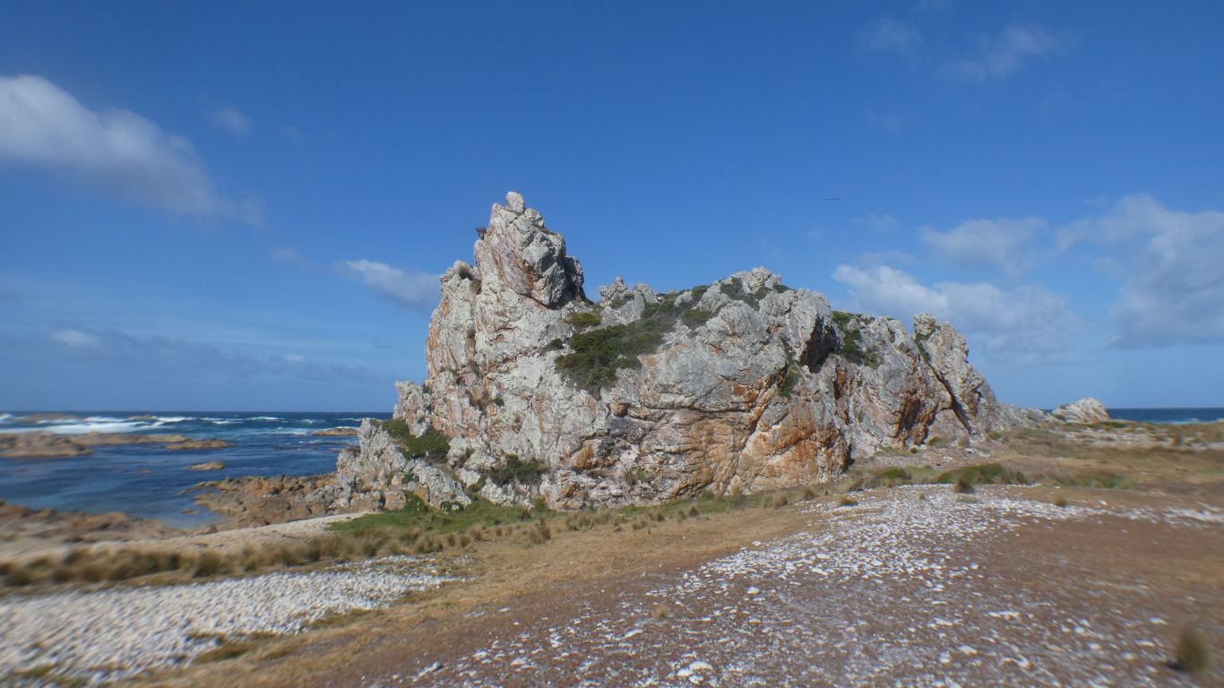
This is not church rock. Just the rock we saw from Edge of the World, on the other side of the river.

     
  We've seen lots of warnings about hooded plovers. As elsewhere, they nest on the sand above high tide, so are threatened.

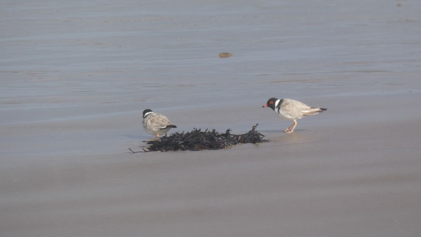
We didn't see red capped plovers.

     
  Just a nice place to be. The light changing as the clouds pass by.

Temperature has been pleasant so far. The wind chilly but also pleasant.

Good walking weather.

     
  A tangled maze of rocks.
     
  There are middens, and there are shell mounds. This is neither, its rocks. But just like shell mounds piled up by the sea.
     
  Bluff Hill Lighthouse.

Not the New Zealand Bluff Hill.

     
  Church Rock.

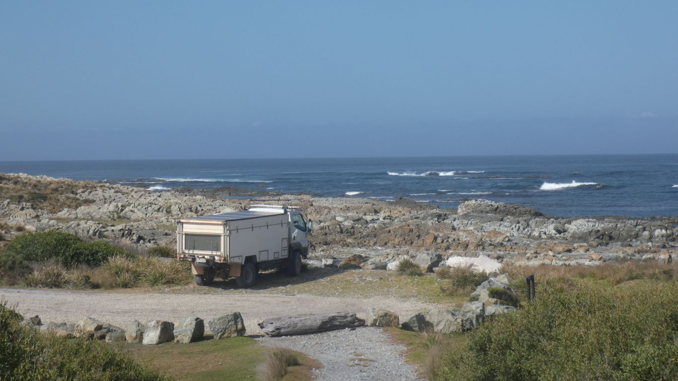
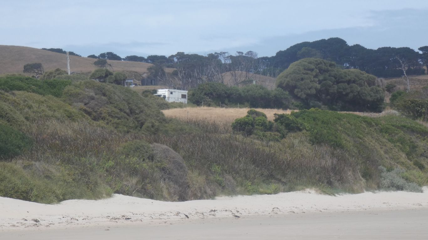
There's a 4wd track from the main road, a shack, and a car.

     
  The seventh wave. Always bigger than the rest.

We return to Arthur River, and drive north.

     
  A quick detour to the lighthouse.

Warnings of asbestos and wild bees.

     
  Another detour to West Point. A half hearted look for middens with no success.

But having wheted our appetite with more research and encouragement from Laurie we will revisit in a couple of days.

     
  We camp at Green Point. A surf beach.

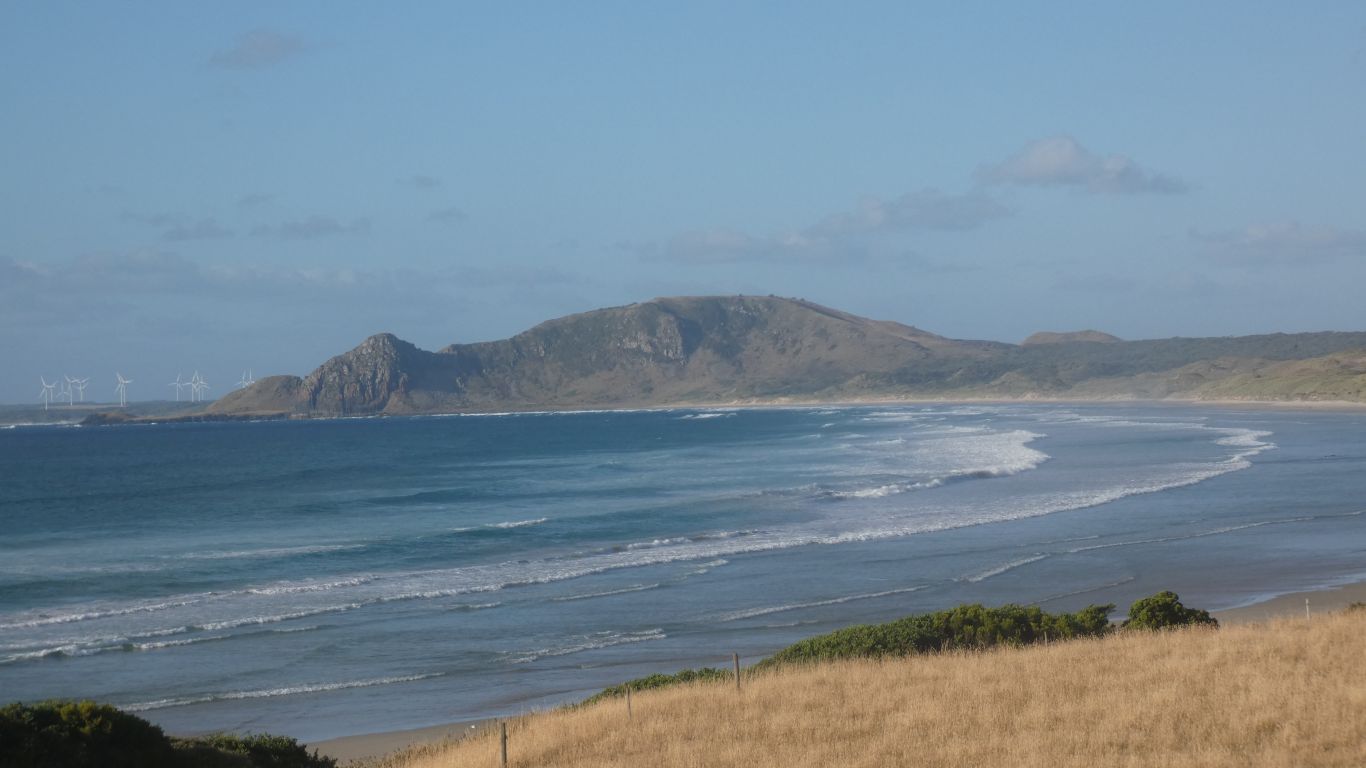
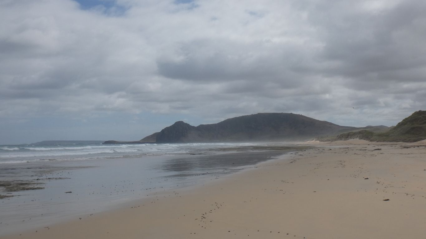
Mount Cameron West very distinctive at the north end of the beach, about 5km away.

The profile reminds us of Amundsen lying down. A similar formation at the north tip of Norway.

     
  A fairy wren. Just one of many that ignored all the campers.
     
  Another beach walk.

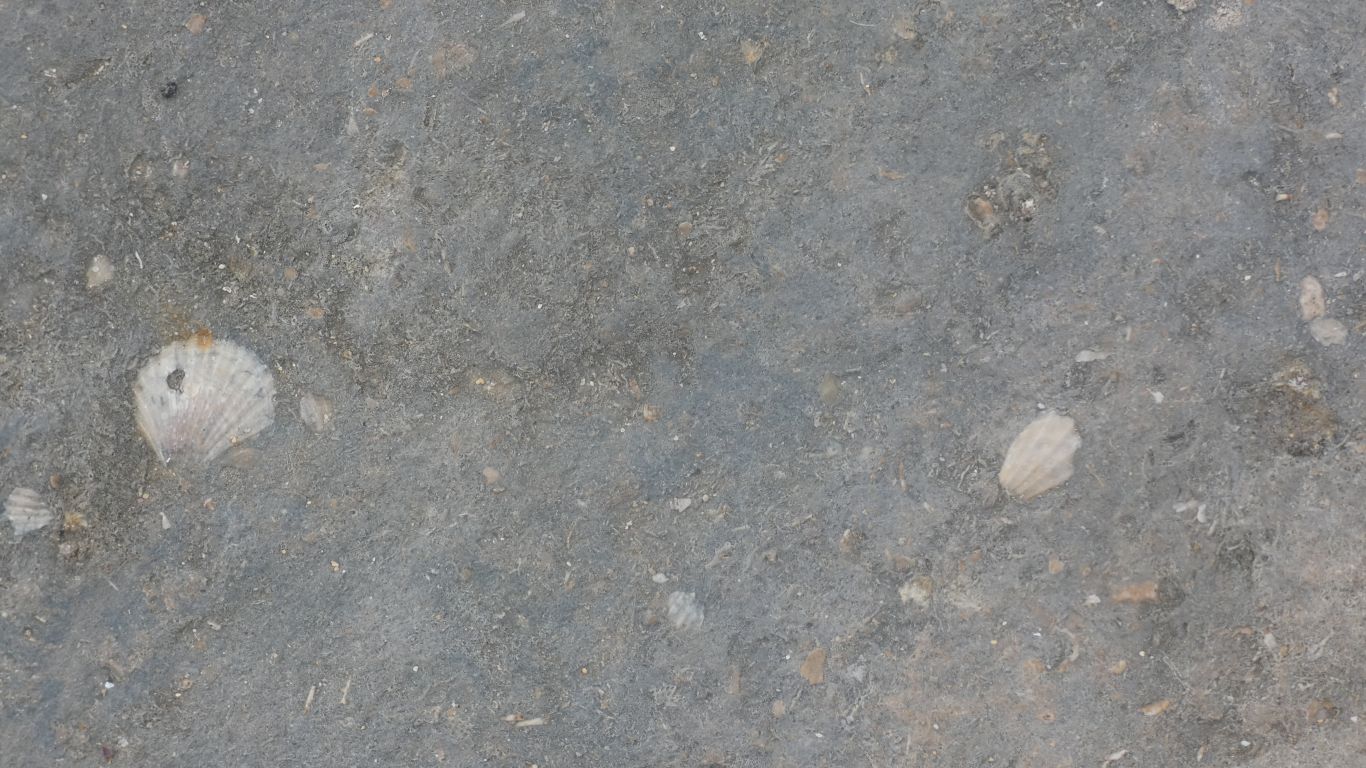
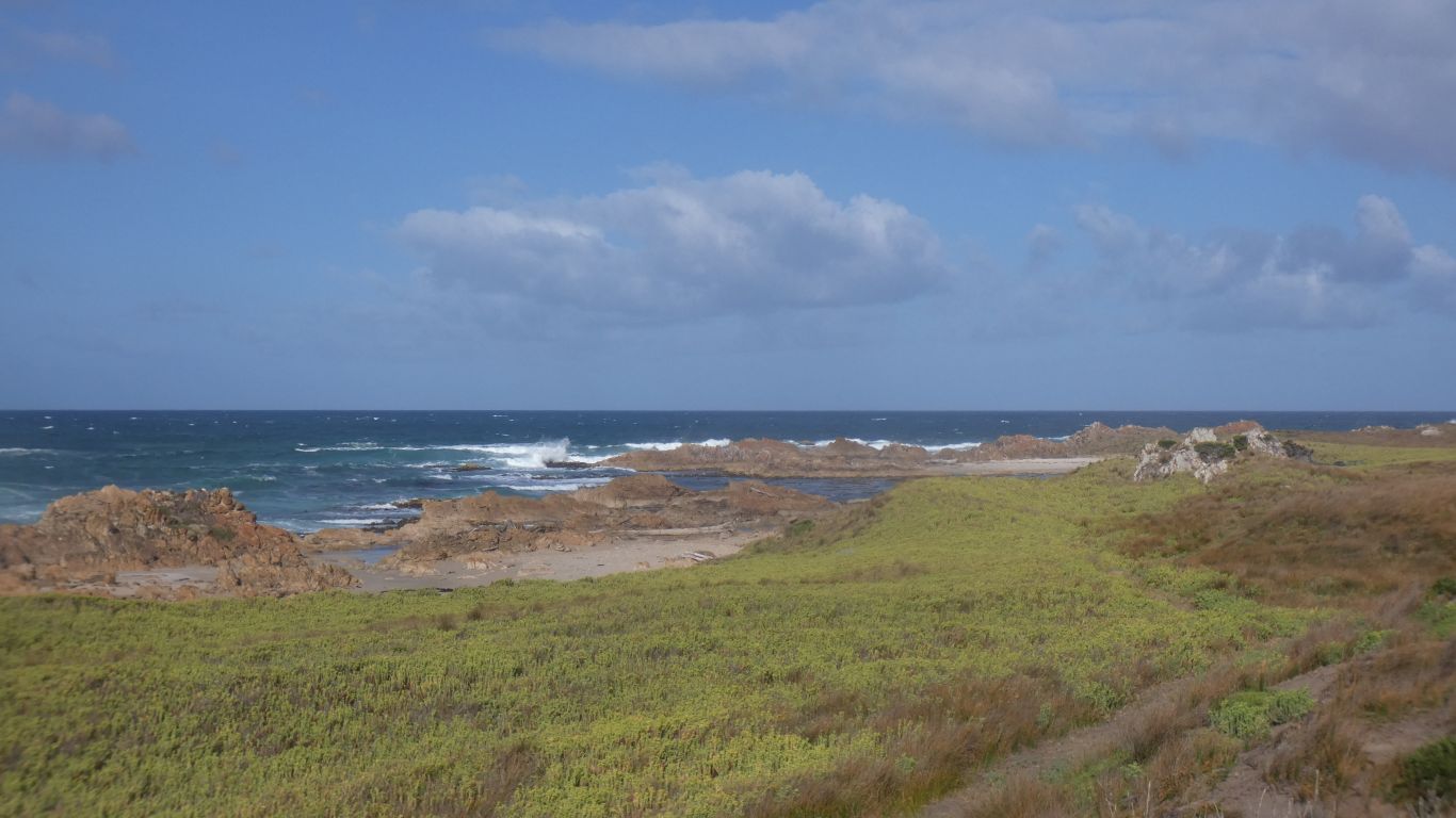
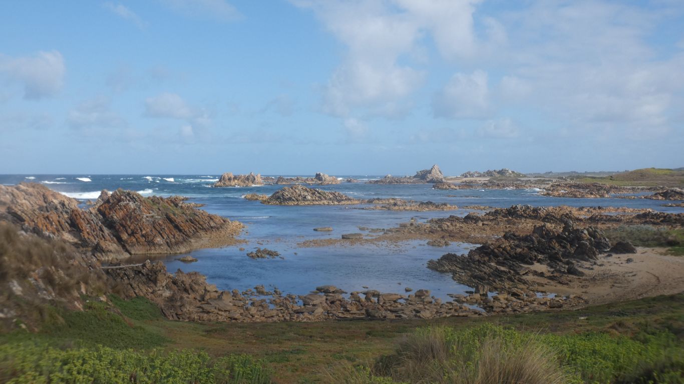
But first a look at the rocks. Almost horizontal bedding. Exposed fossilised shells.

     
  Black backed gulls.
     
  A few creeks, I can't stop calling them creeks instead of rivulets.

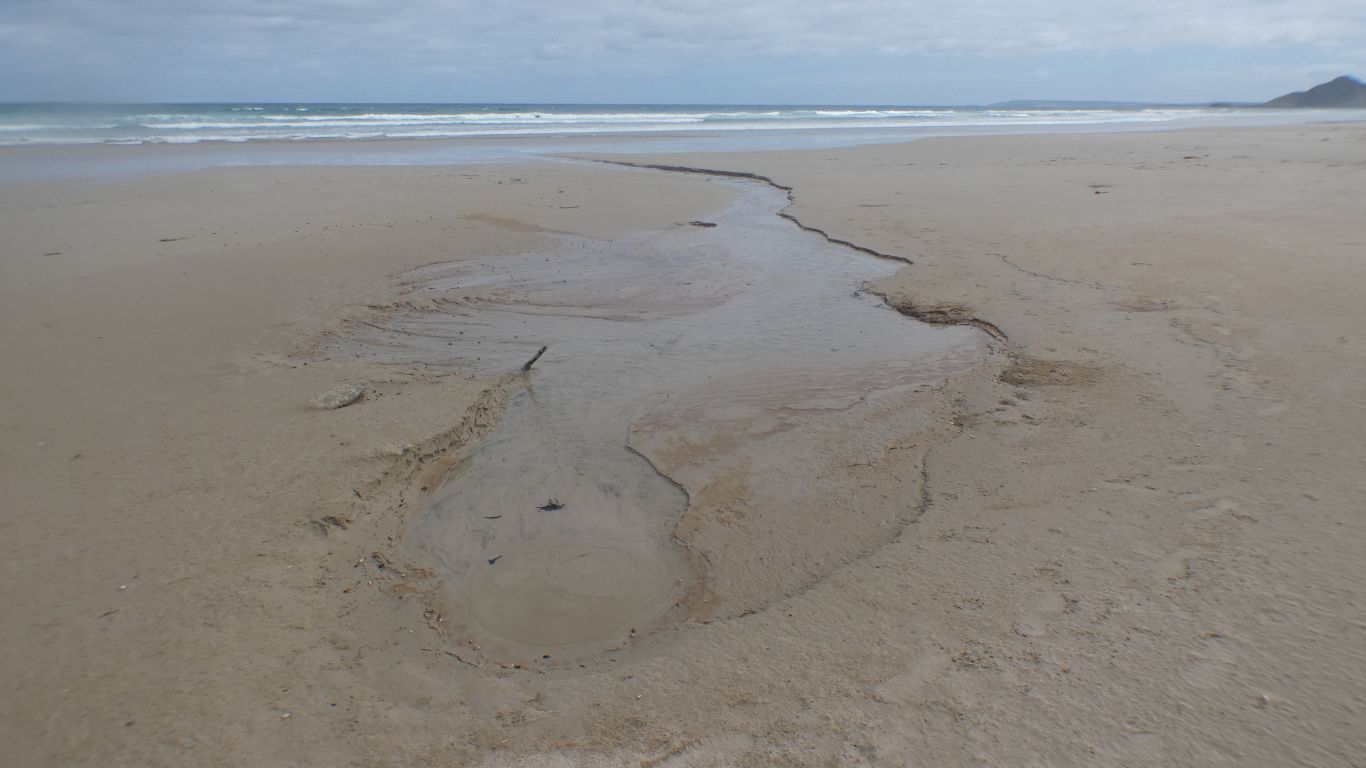
This one a spring just below the dunes.

     
  We didn't reach Amundsen. Turned back after about 4km.
     
  A quick look behind the dunes, some being eroded. There's a fence.

Intrigued by the hollow. But its just a hollow.

     
  We were lucky at the campsite. The only spot with a view. Its also nicely sheltered.

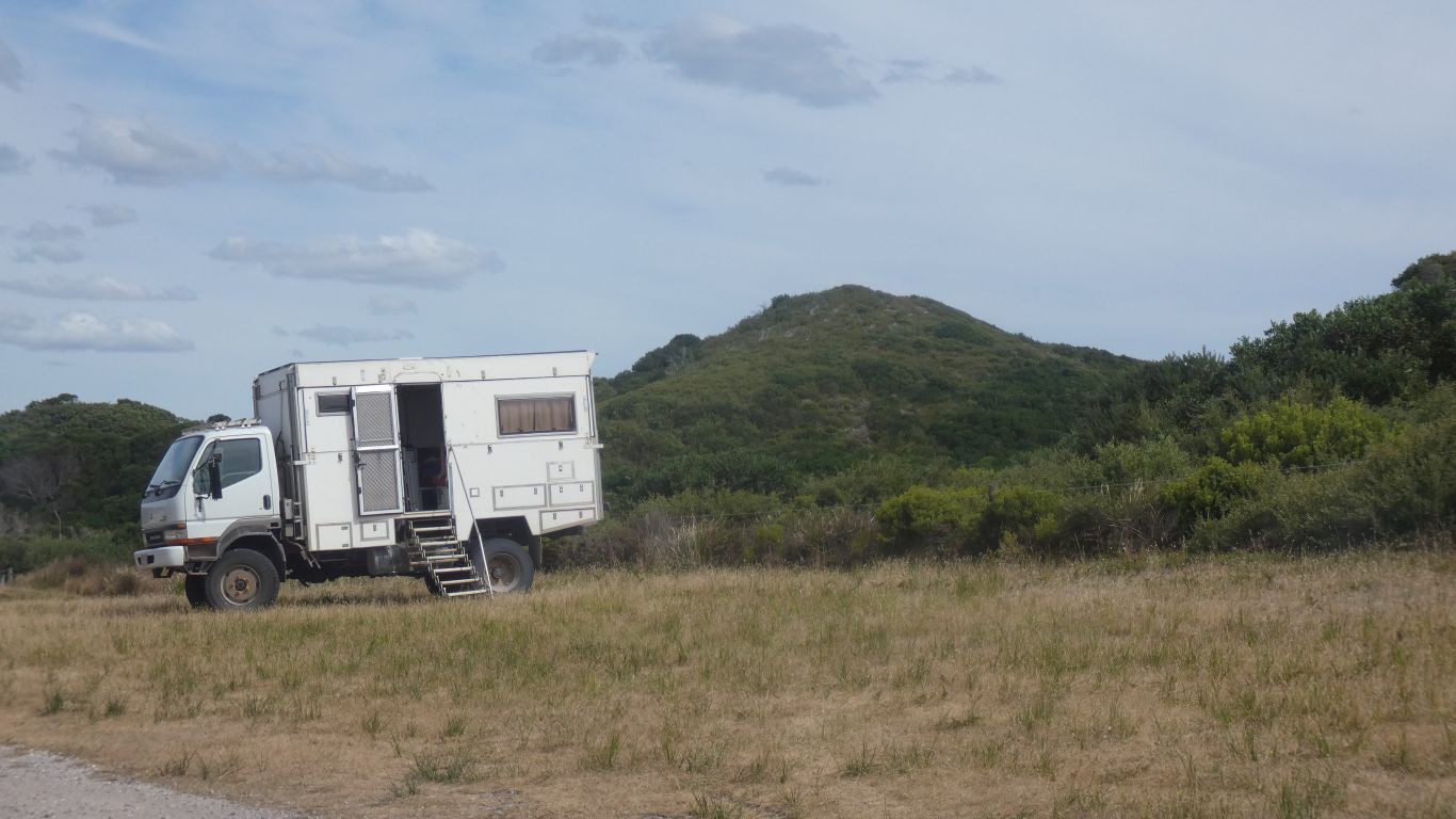
Not at all level, though not the worst we've had. Being able to level the bed independently of the chassis is good.

     
  First they start walking as we approach. Then they run. Then they fly away.

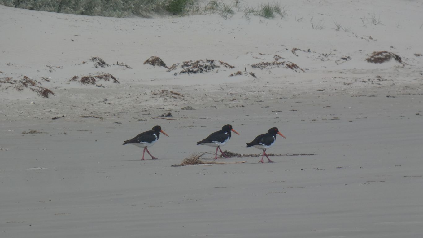
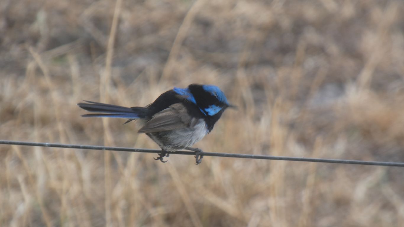
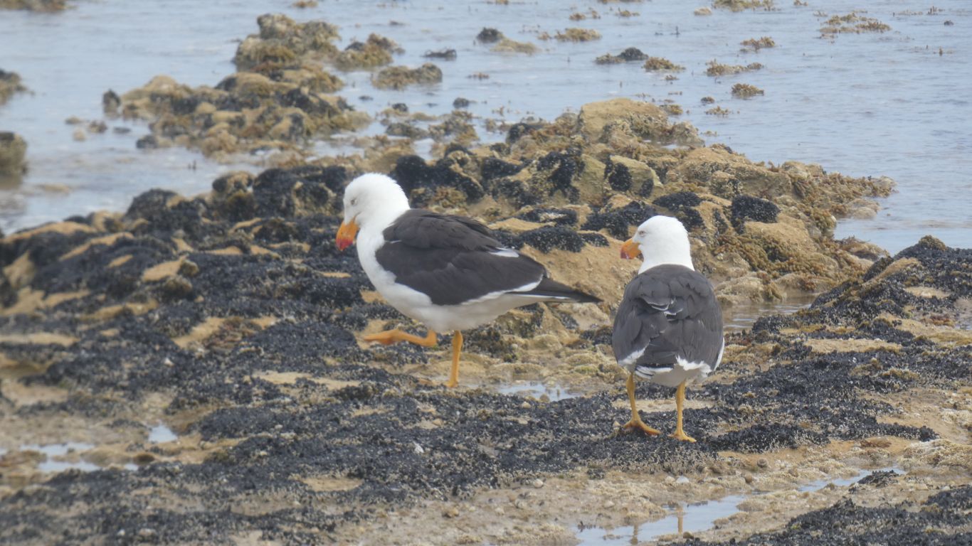
Pied oyster catchers.


Gateway
CommentsHome


Feel free to make a (useful!) comment.
Please enter this number so we know you are a real person   

and your name      and email address     
your email address will not be displayed. Nor will your ip address which is 216.73.216.91  
and enter your comment .....