We successfully apply for a permit and key for Mt McCall Track.
Then back to same camp. For breakfast. Otherwise a day of relaxation.
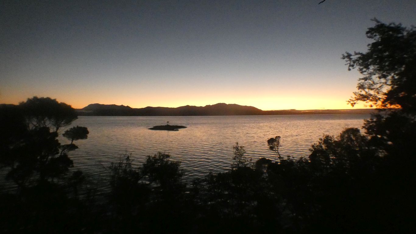
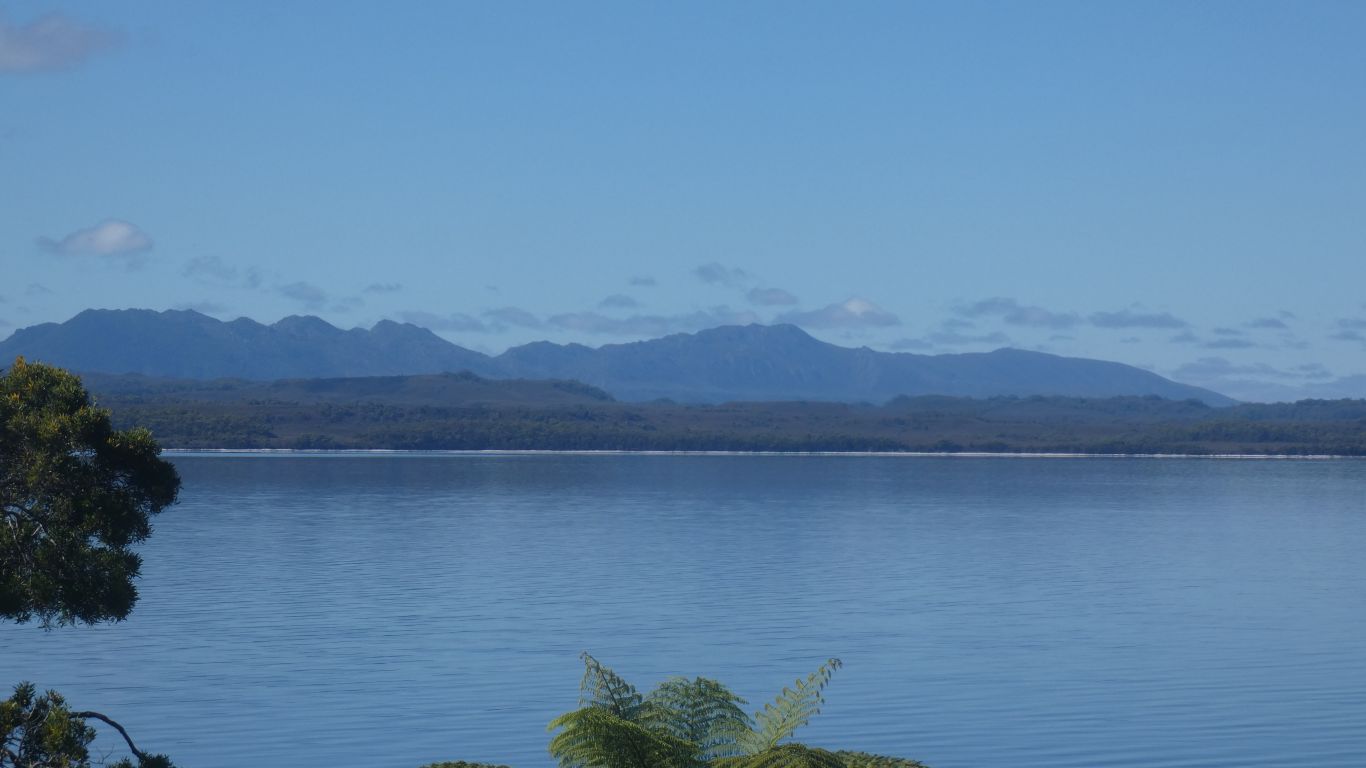
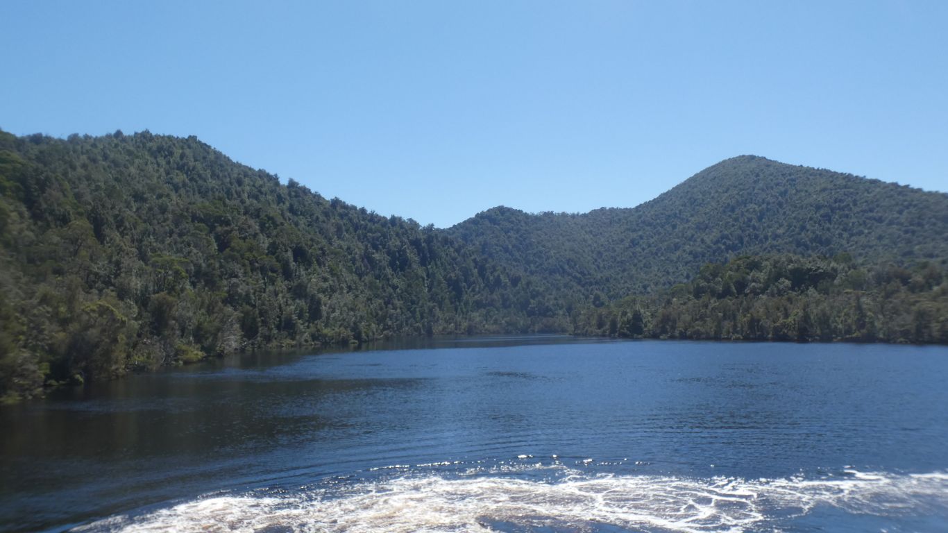
Clear sky. The rising sun silhouettes the mountains.
We feel lucky.
Forecast is good for the weekend.
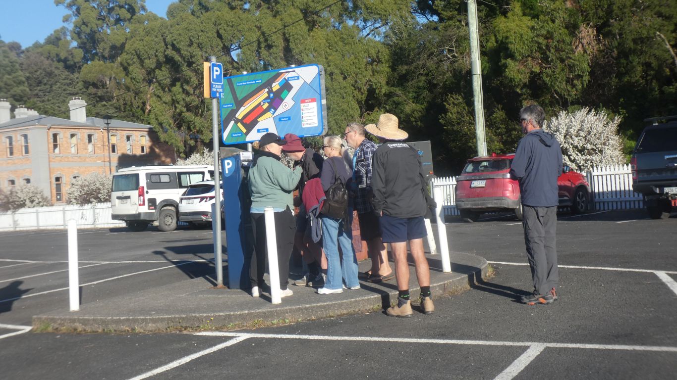
Which meant an impatient queue had formed.
I'm at the machine in the maroon hat.
The lady in green arrived at just the right moment, volunteering to assist.
The response time on the machine was more than a second for each button push. No wonder people confused.
The complicated instructions above the screen emphasised "make sure you have selected hours and not days".
Advertised fee is $1/hour. It has become $1.10. Max $10, which presumably is $11. I could have used the app. But that would have added 11% and an app with my credit card and phone number.
Apparently the council are aware of longstanding issues with the parking machine. But obviously haven't solved them.
It takes the kayakers a couple of weeks.
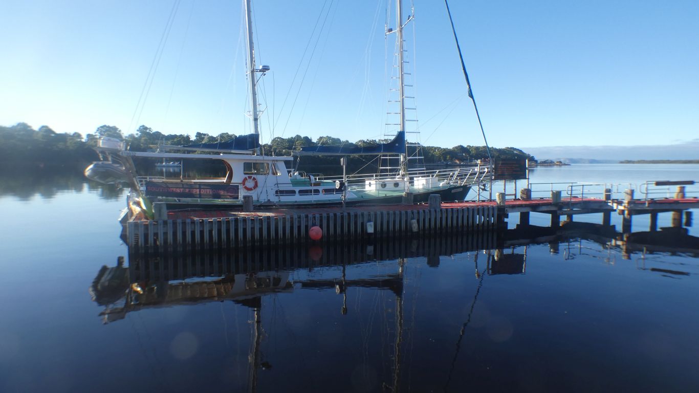
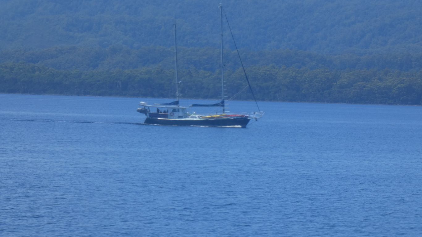
The yacht has room for a couple or more people overnight.
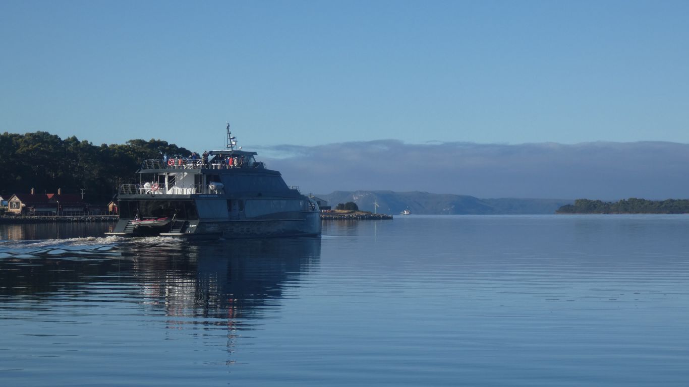
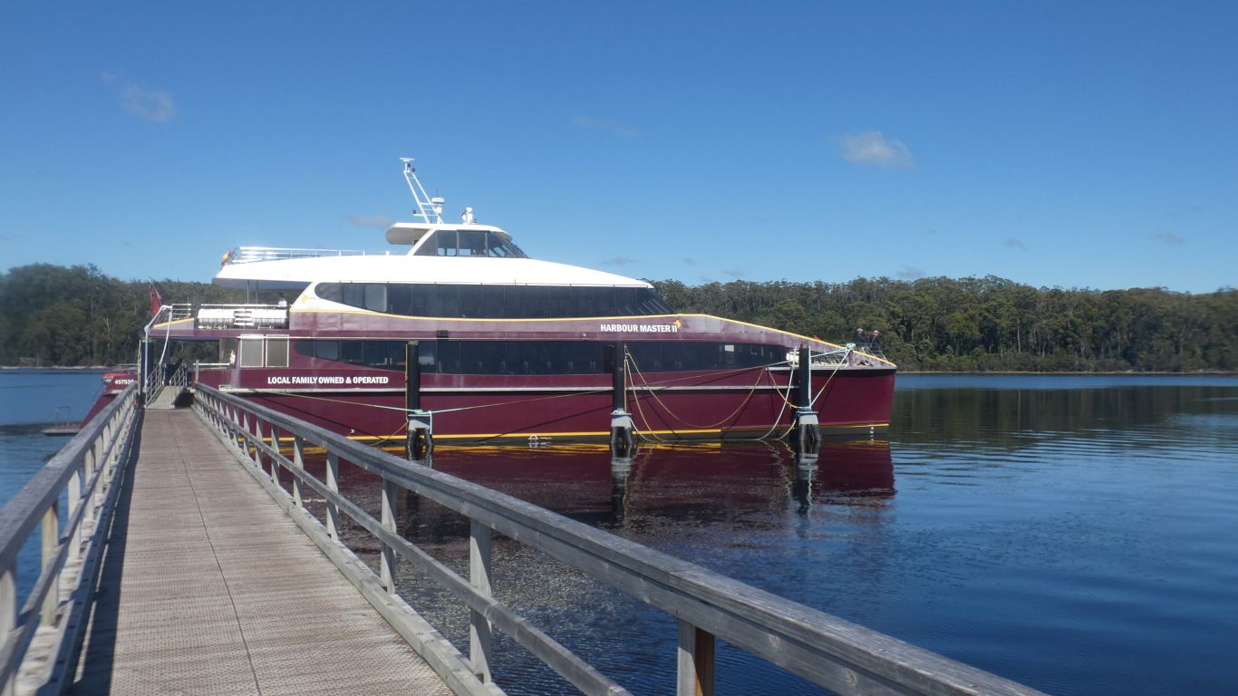
The grey boat leaves half an hour earlier. A similar route but different sequence so two lots of 150 people don't collide on a boardwalk.
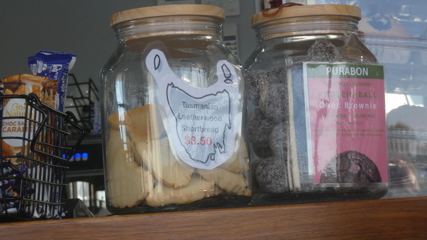
We are intrigued by leatherwood shortbread. But don't partake.
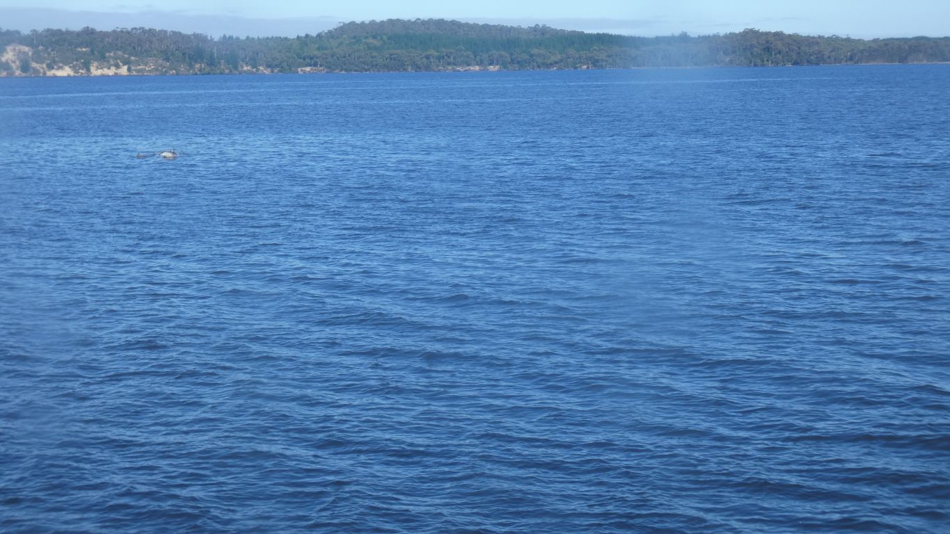
The boat paused for a short time to watch them play.
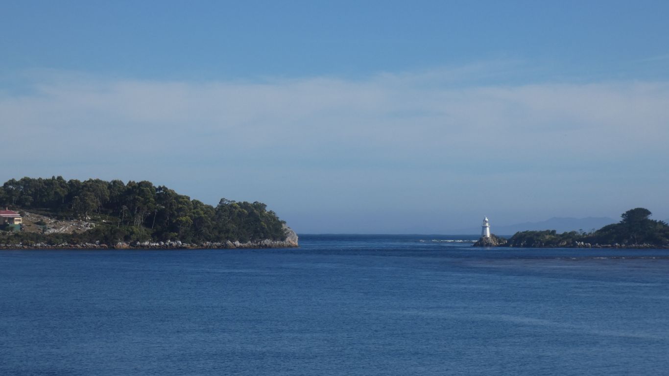
A breakwater was built on the outside and dredging around 1900.
Still a dangerous entrance.
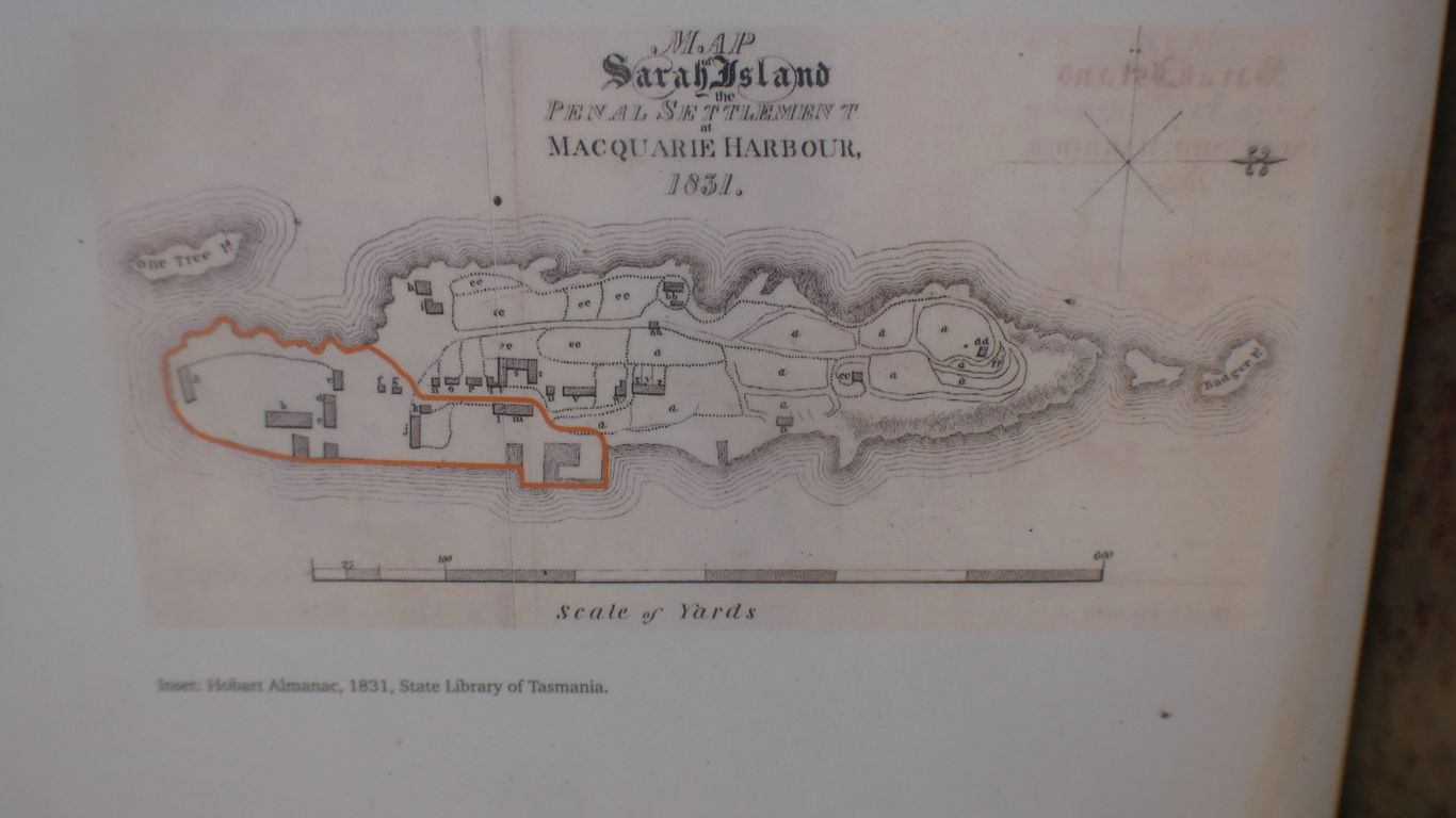
From a convict's perspective the entrance to hell, and the penal colony on Sarah Island.
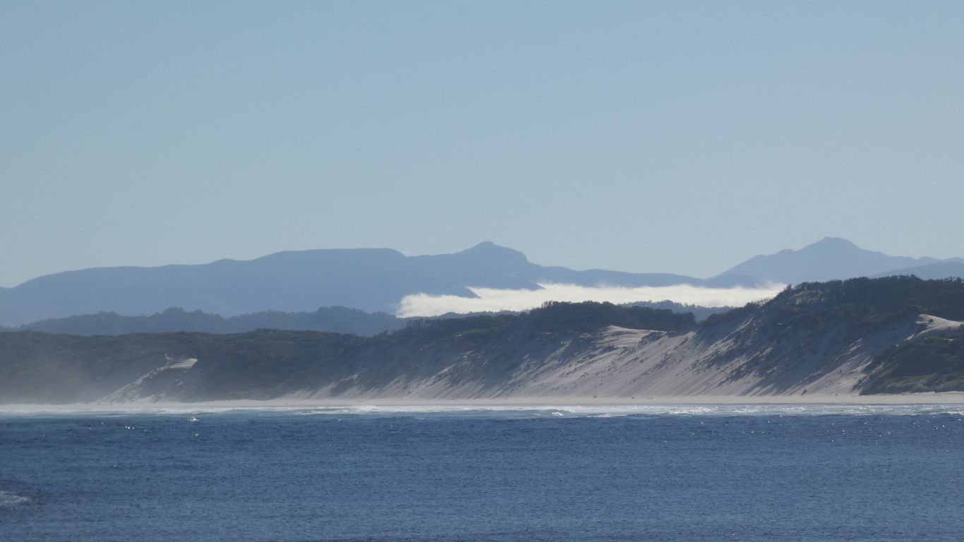
Perhaps the Henty Dunes.
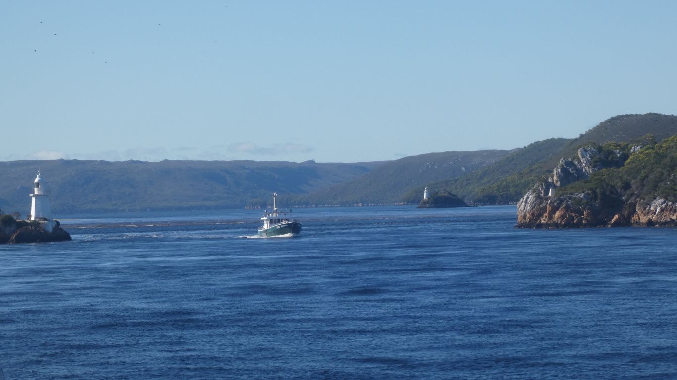
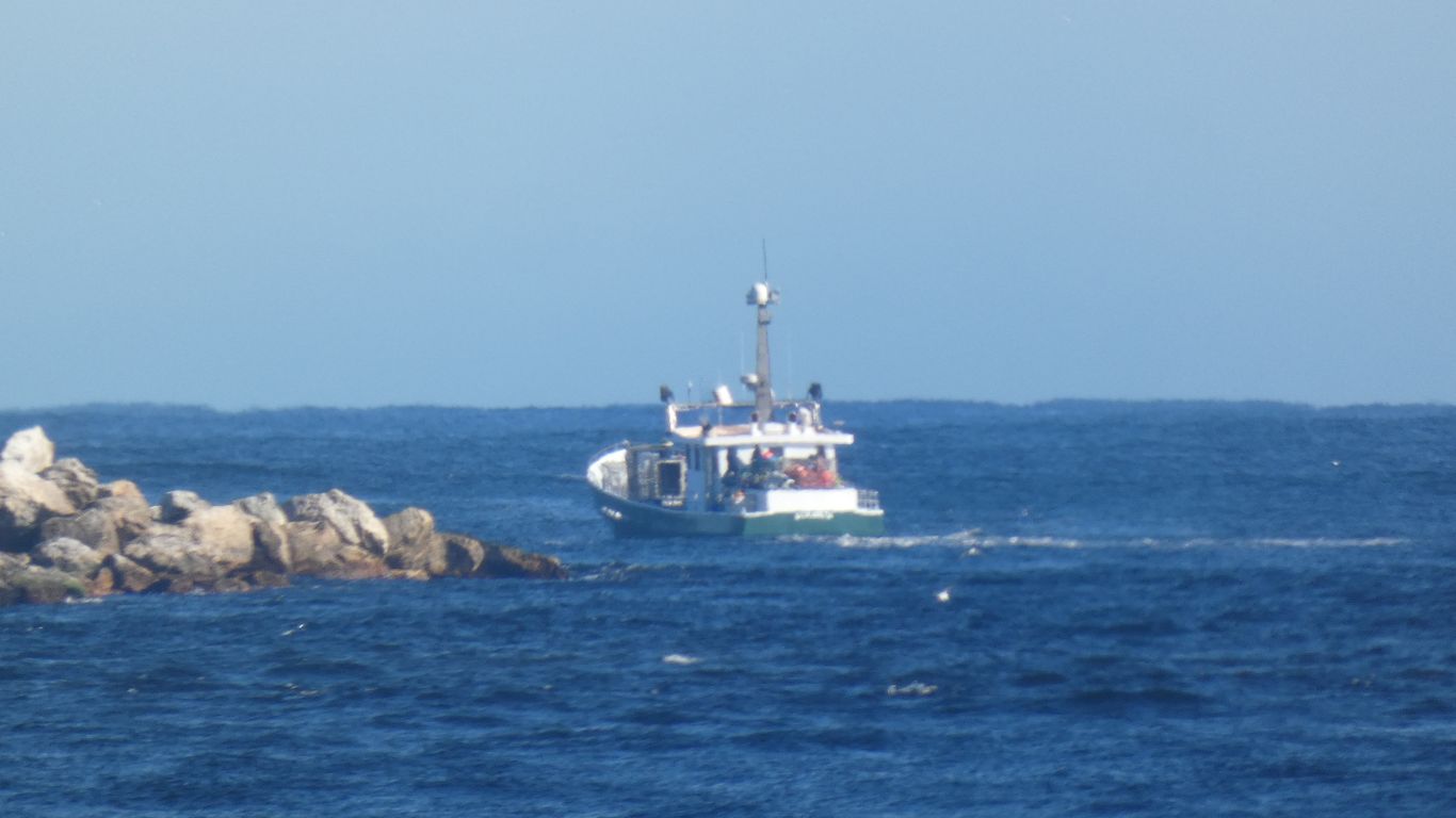
The Elizabeth on its way to fishing grounds.
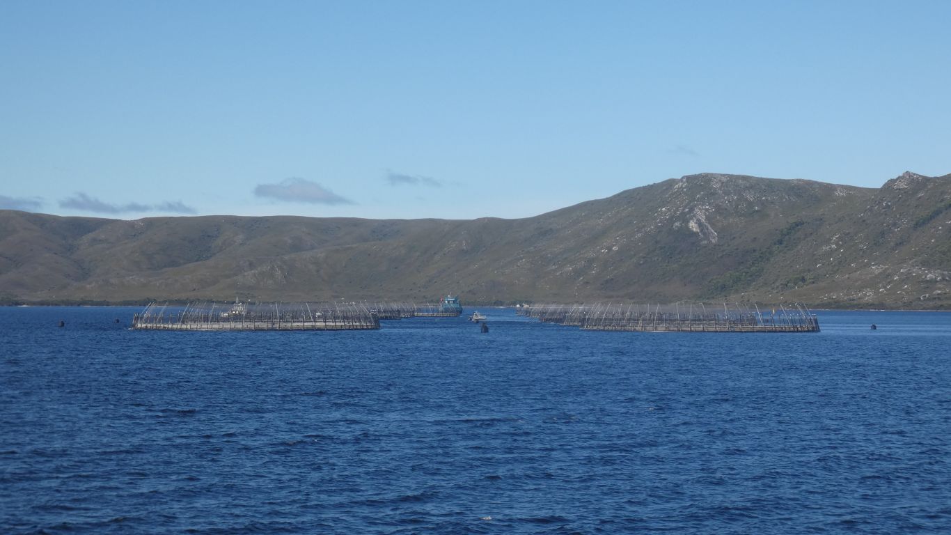
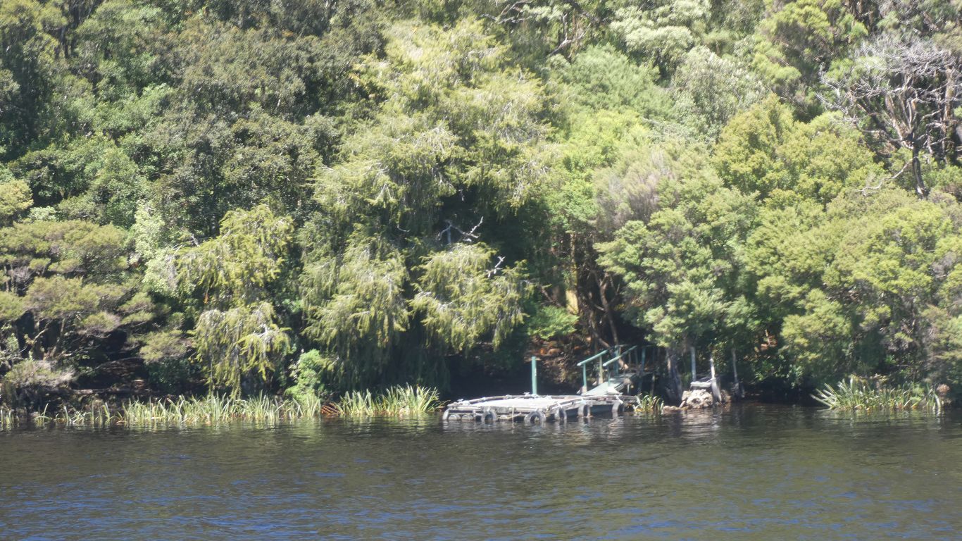
There are three companies operating farms for salmon or trout.
Not all pens are full all the time. Two or three lie fallow, resting.
There is little water movement in the harbour, some, but perhaps a bit marginal for fish farming.
There are no oysters, abalone, mussels, etc., as there is a layer of brown tinged fresh water on top of salt water. Not suitable for shellfish farms.
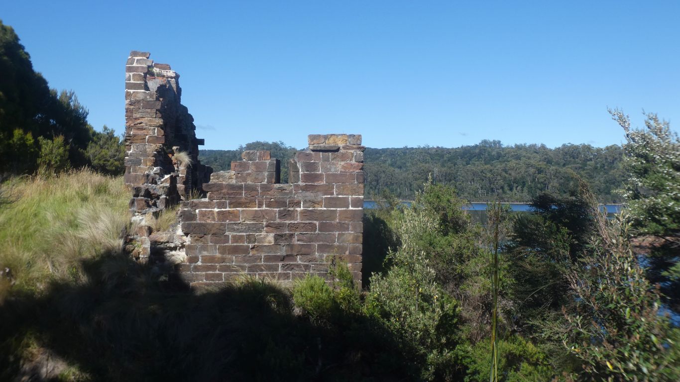
A penal colony that predates Port Arthur by a few years.
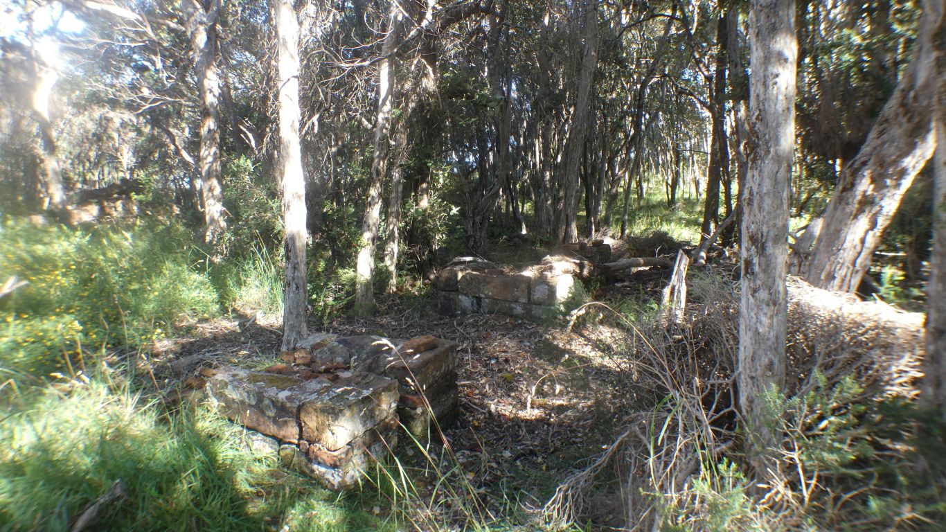
This area for blacksmiths forges.
The commentary on the boat seems to enjoy telling stories of lashes, with cats of 9 tails, soaked in sea water and dried to add salt crystals. I'm not sure why I remember 100 lashes takes an hour. Carefully timed. Theatre intended to discourage more than the poor victim.
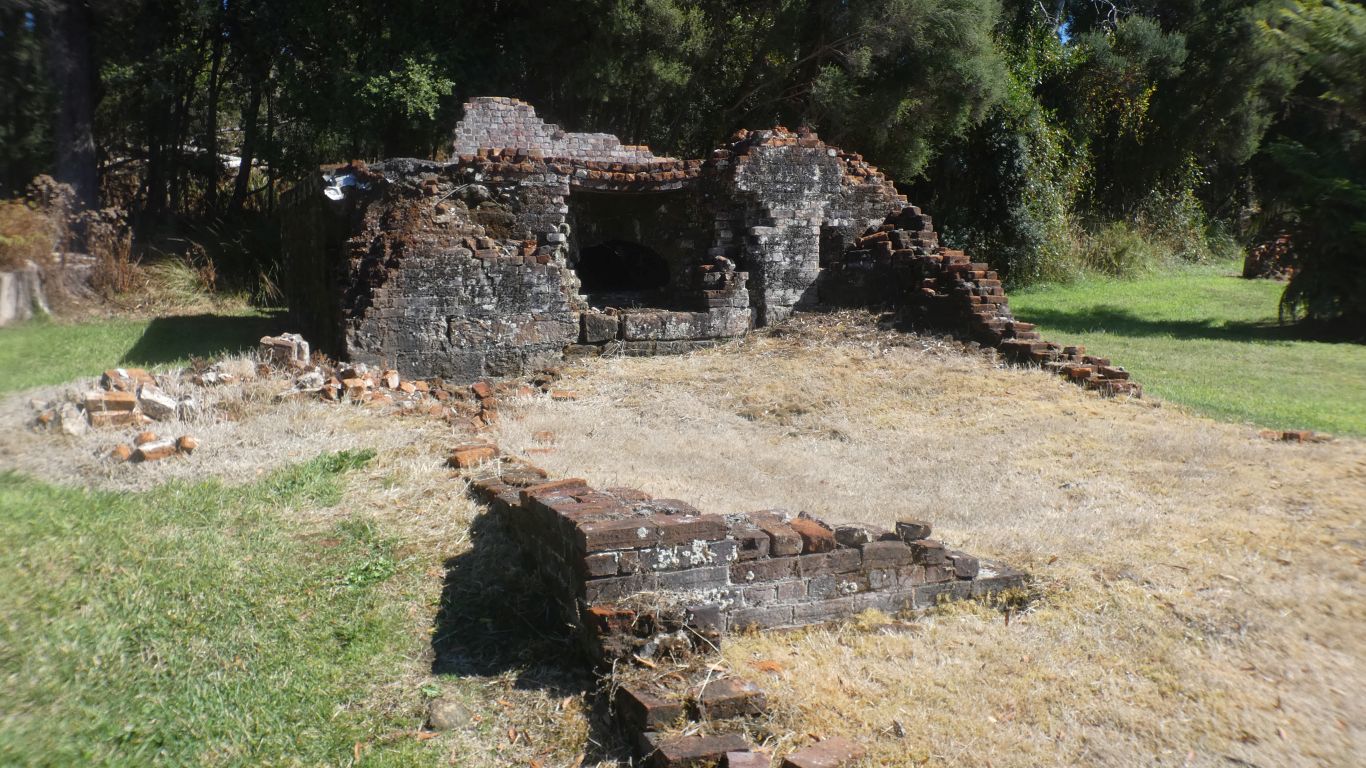
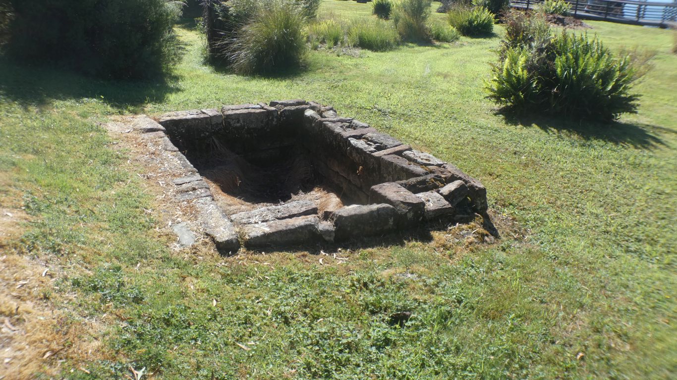
The oven in shadow.
No branding, and no hollow for the mortar.
I forgot to look closely at the remaining walls.
Dressed stone. I know not from where.
There were lots of deaths from disease. Lime was used to treat the bodies.
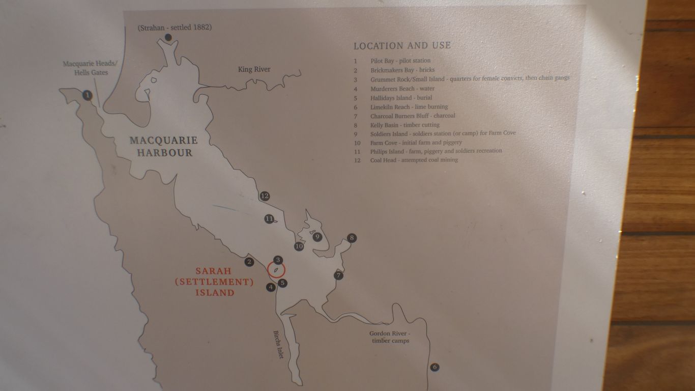
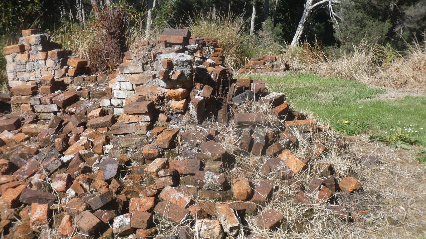
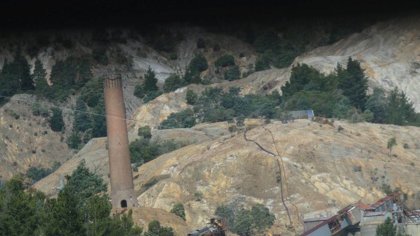
How I know there was a brick works.
There's also lime kilns. I don't know what the geology is.
We are hoping to walk in to Kelly Basin in a few days.
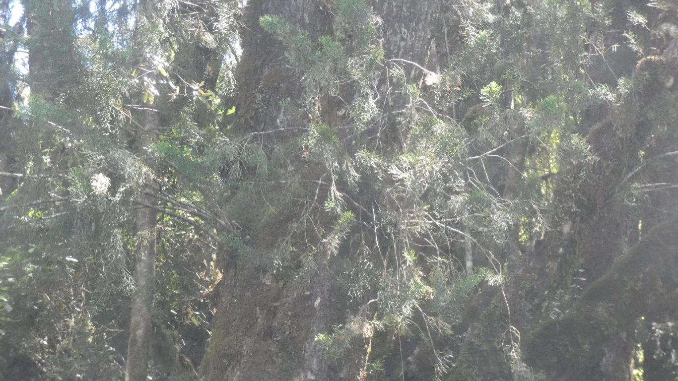
Huon Pine is known for not rotting in water.
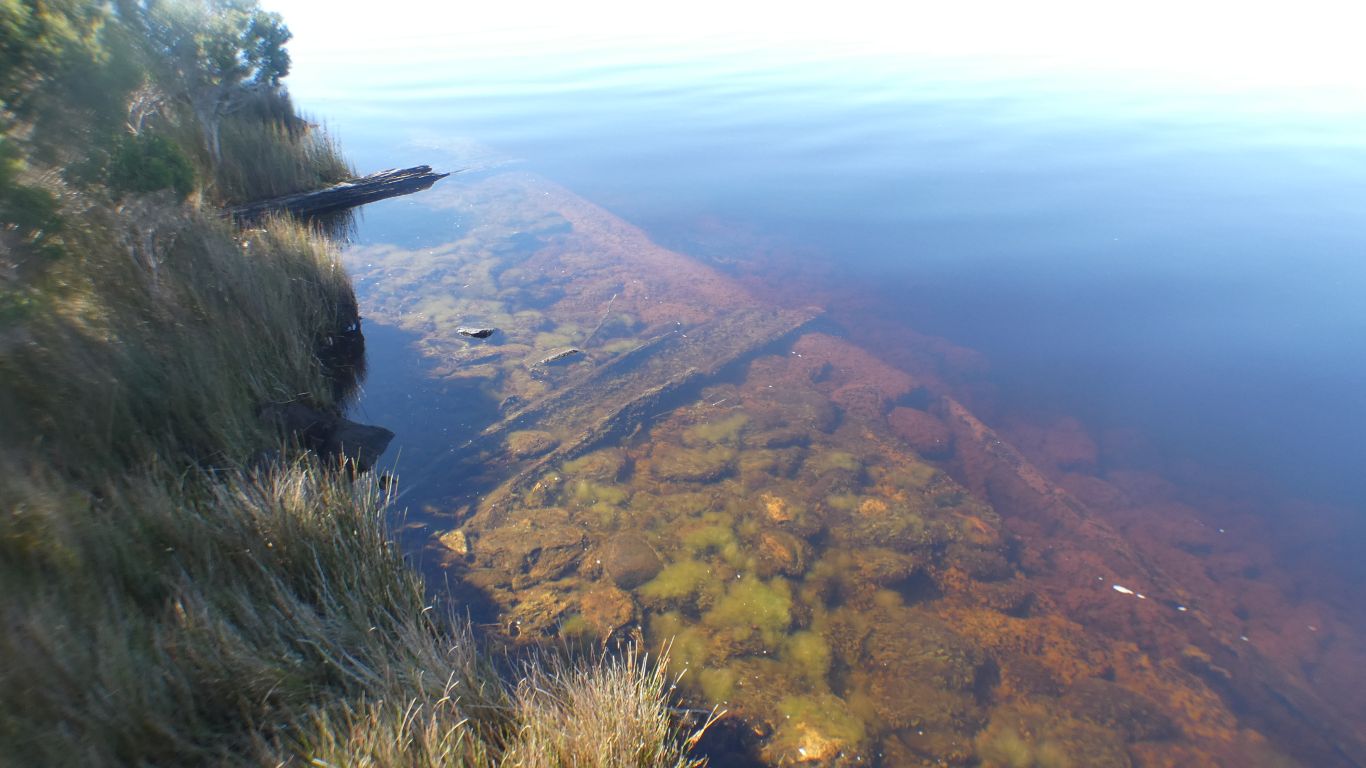
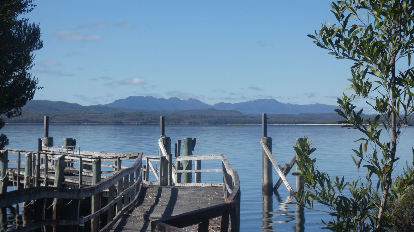
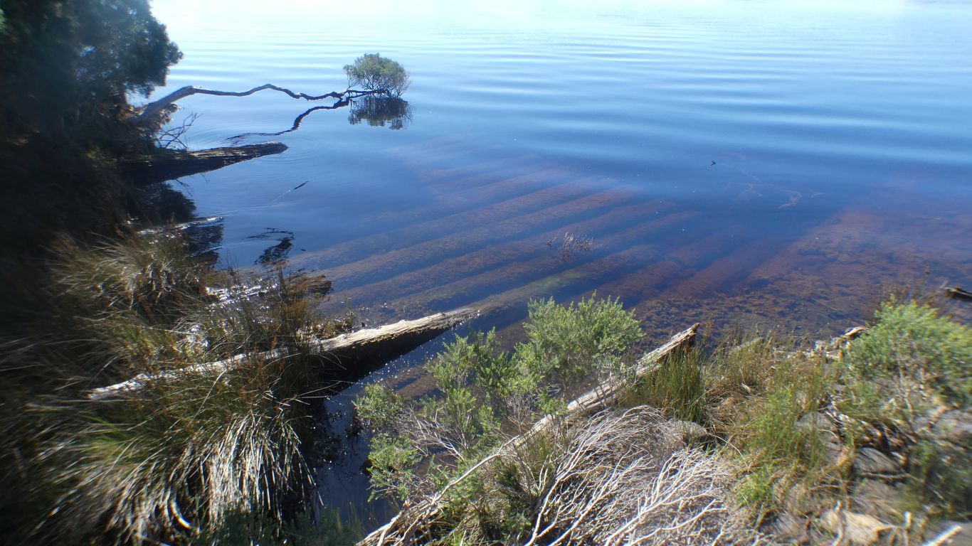
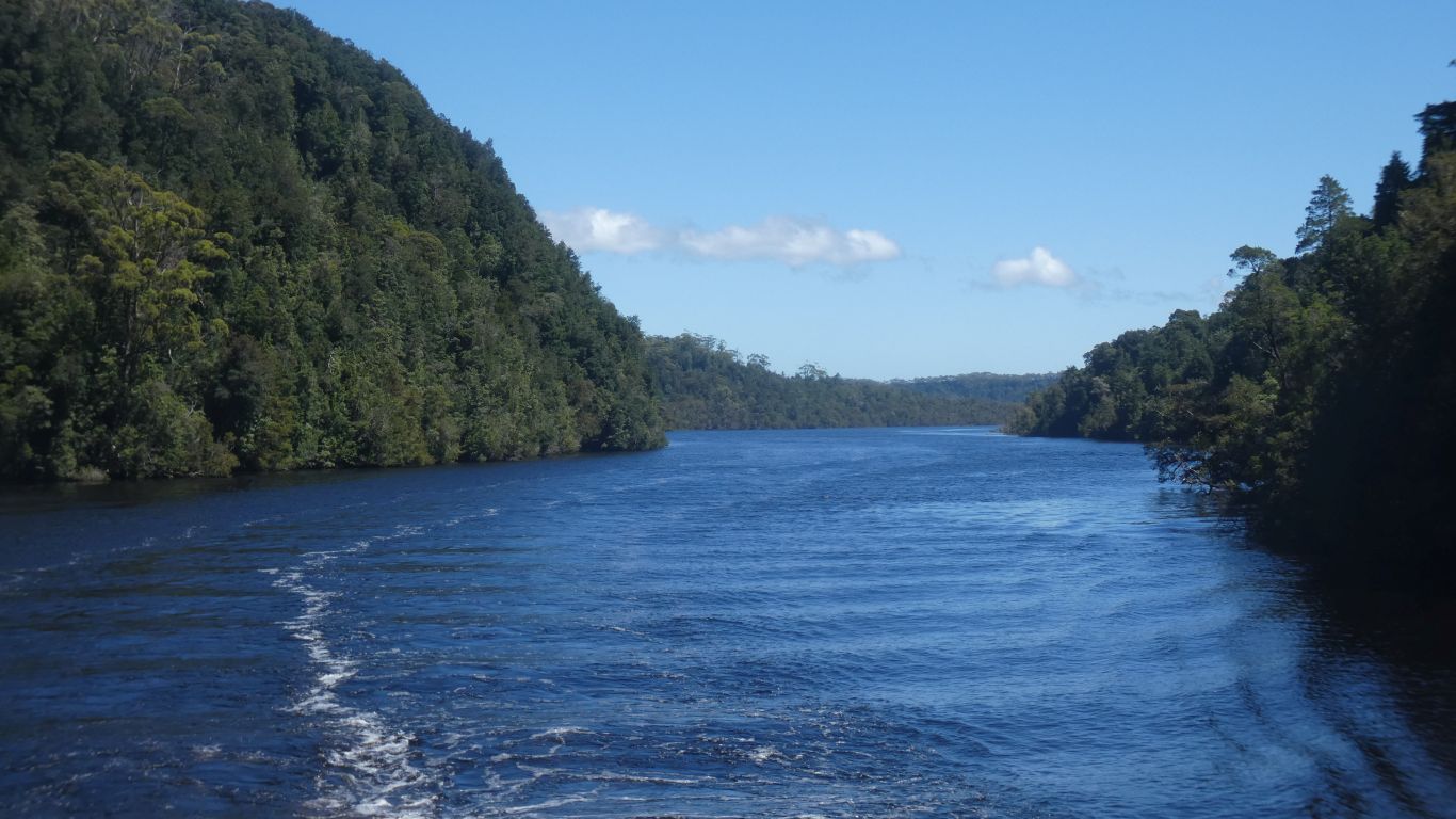
The shoreline has been shaped.
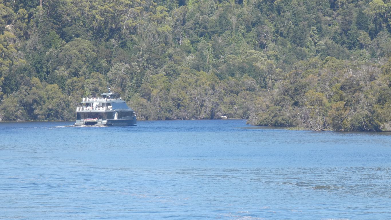
The other cruise on the way out.
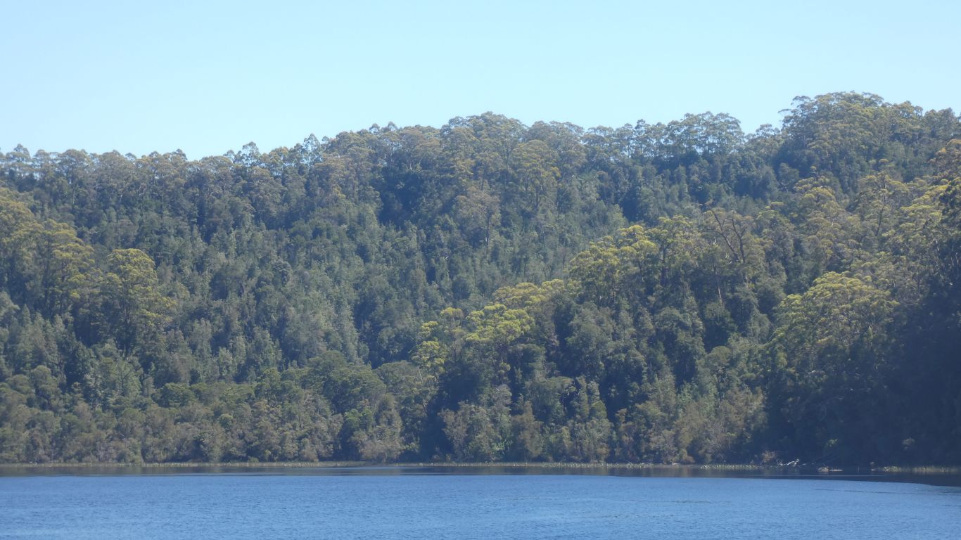
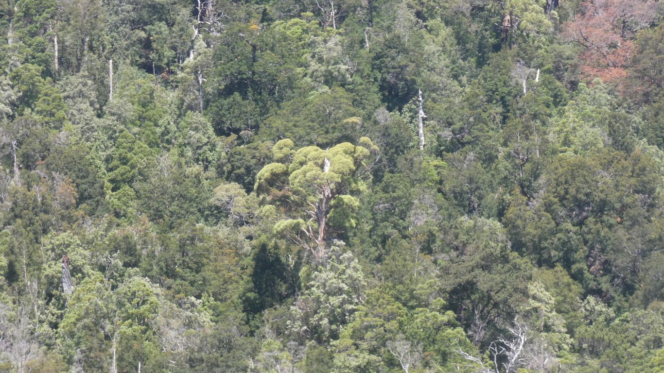
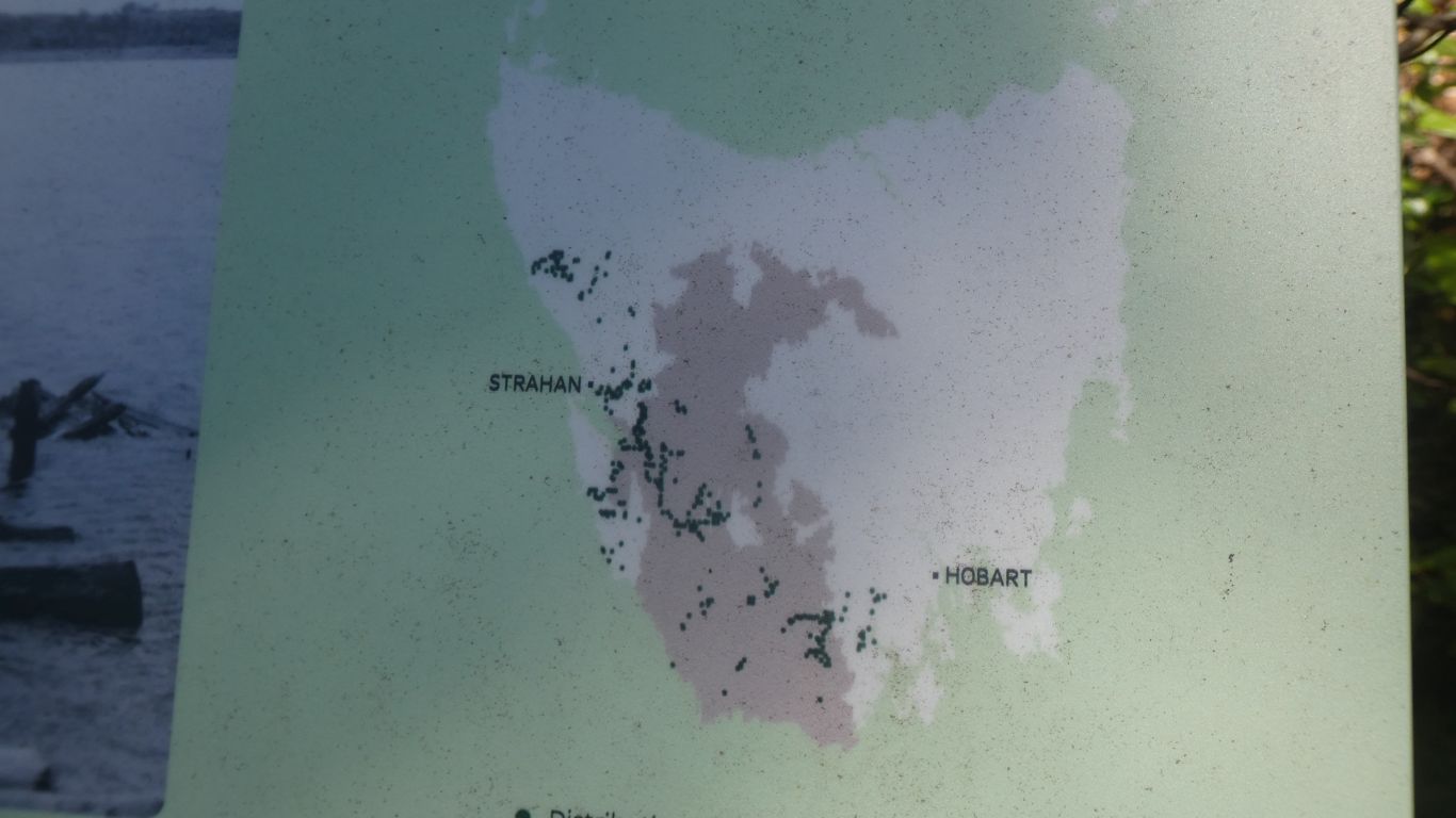
A very old temperate rain forest. Formed before there were mammals and birds, so no need for the trees to provide attractions.
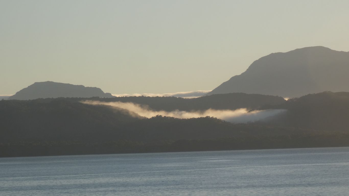
A good sounding explanation of why we have seen few native birds since our arrival.
We look forward to the day we see a pink robin.
While Huon Pine has no flowers and small seeds more recent additions like leatherwood and sassafras have flowers.
Huon Pine that were harvested were floated down the river, caught at the boom, and assembled into rafts.
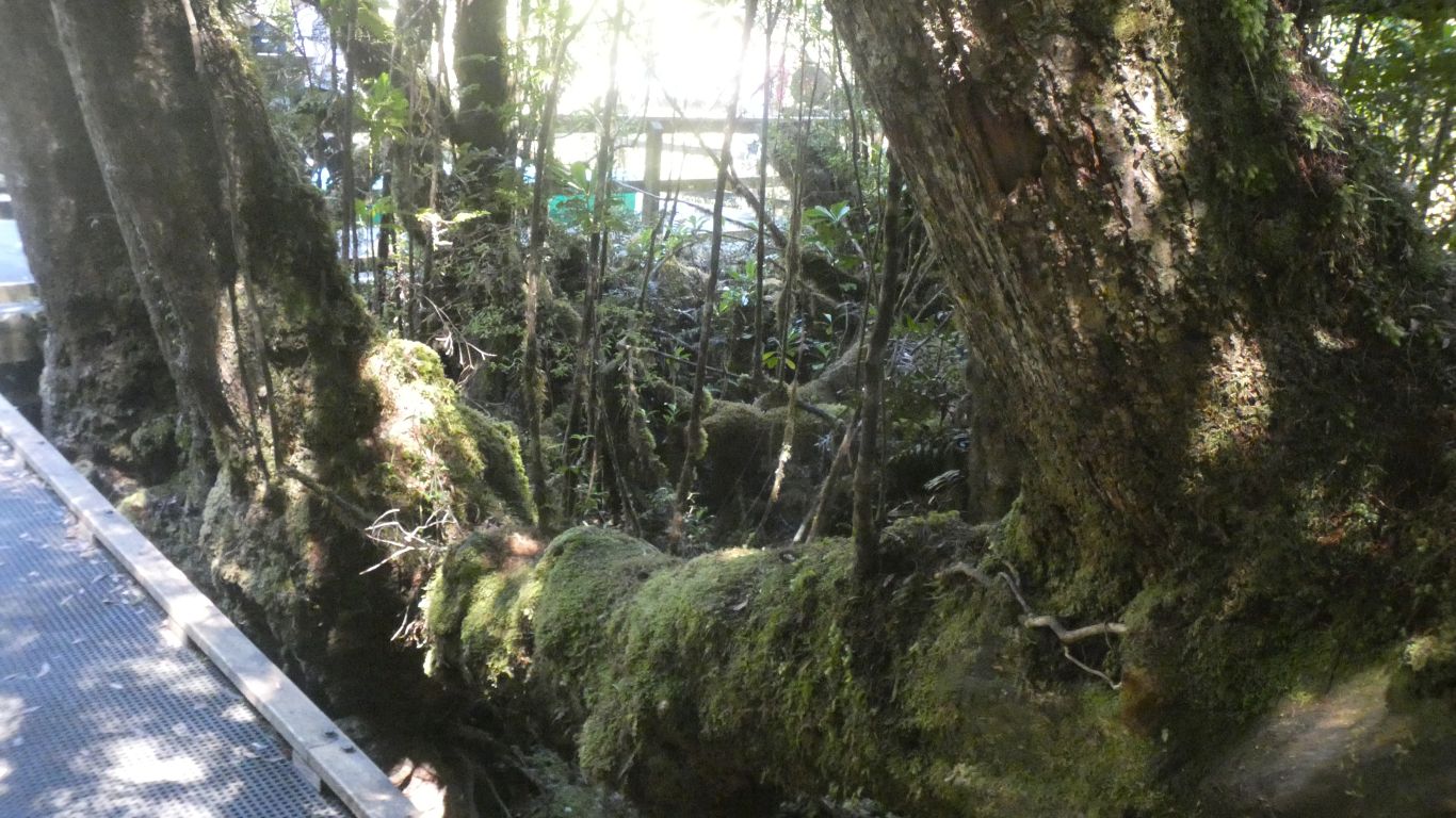
The pine, which really isn't a pine its a conifer, fell over. But didn't die.
Three shoots grew vertically looking like three new trees.
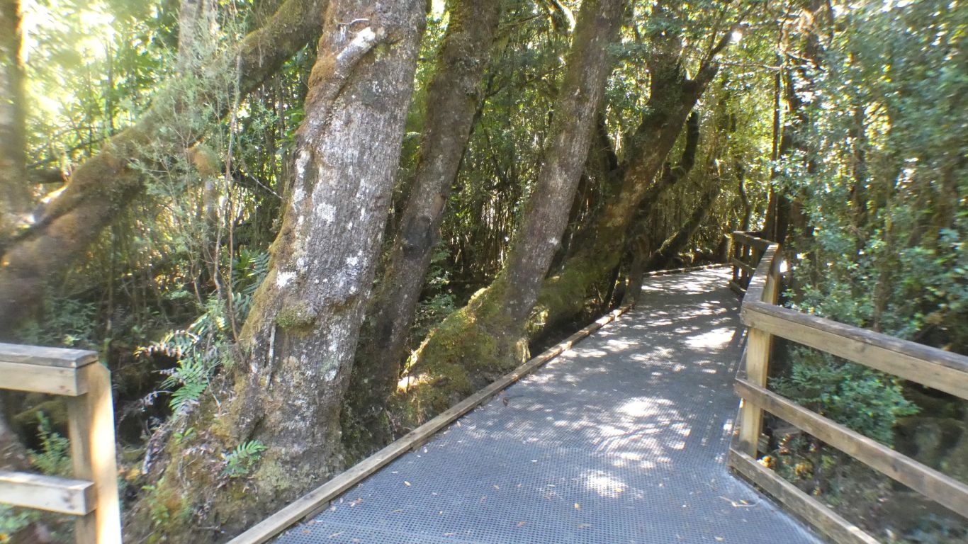
They grow slowly. About a mm diameter each year. 0.4mm in a bad year.
This survived as its a little far from the water, too hard to drag through the undergrowth when there were other trees nearer to the river.
We are well short of where the proposed Gordon Under Franklin dam would have been built. Just below where the Franklin River joins the Gordon.
It would have formed a long thin lake.
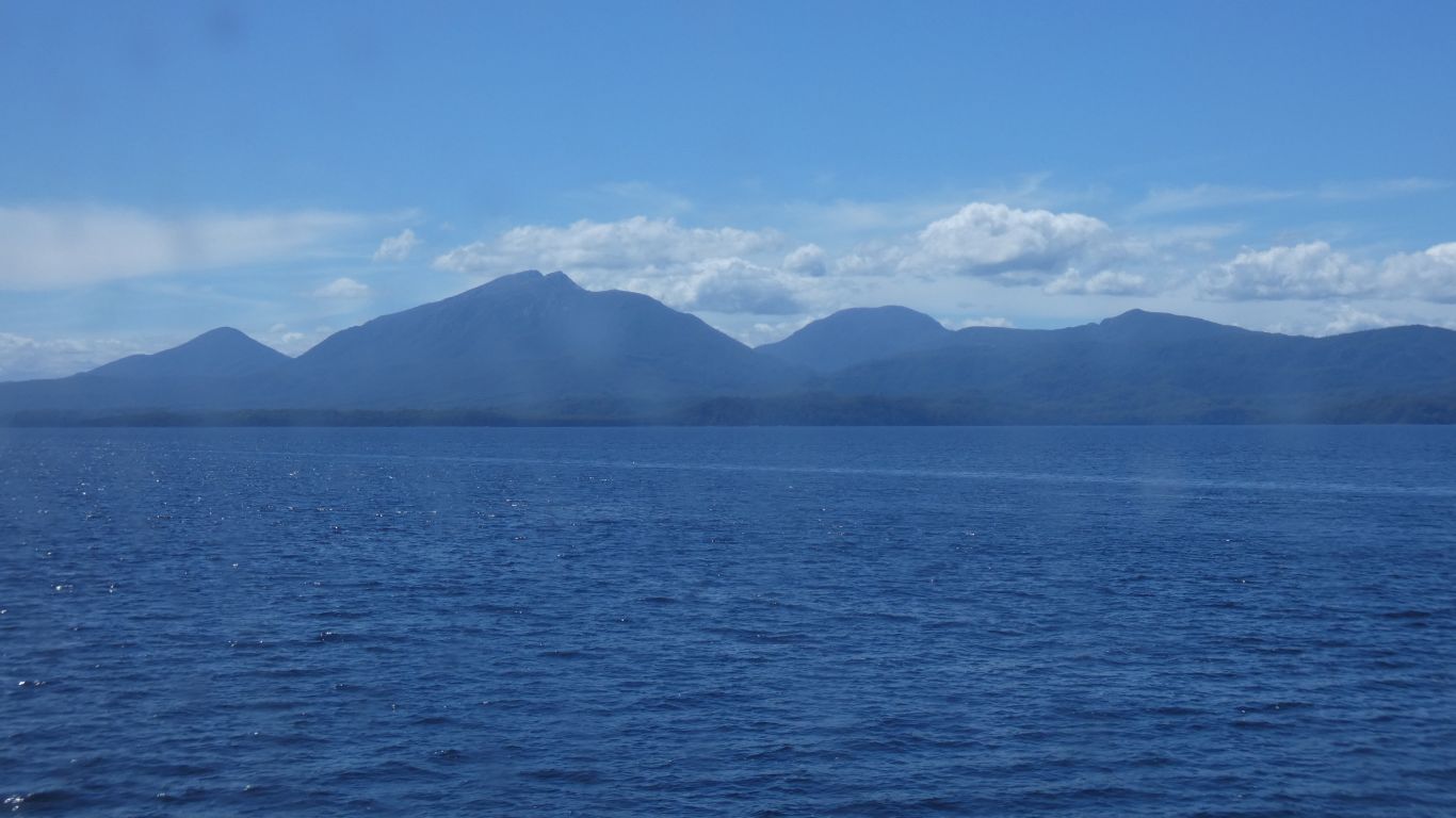
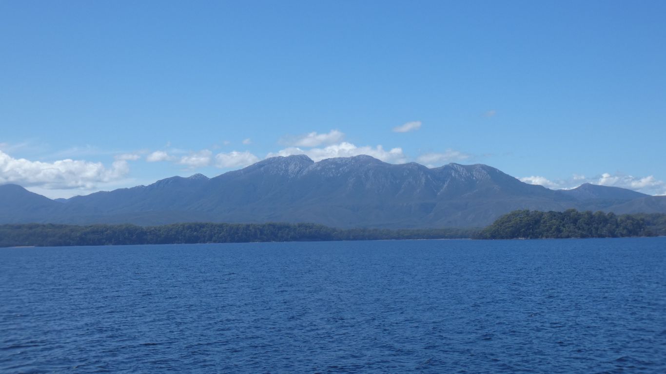
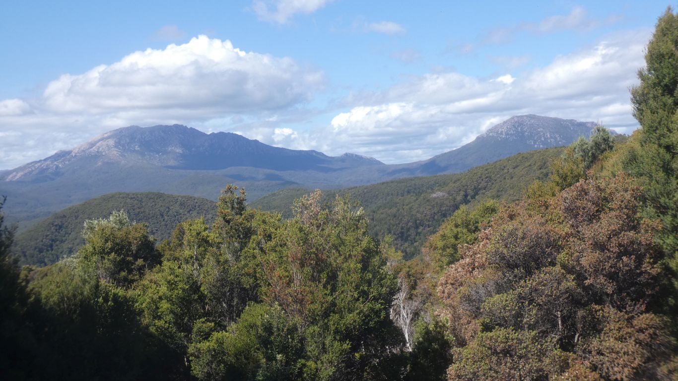
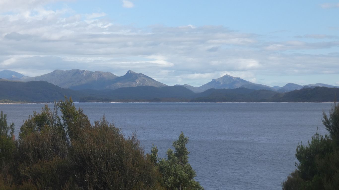
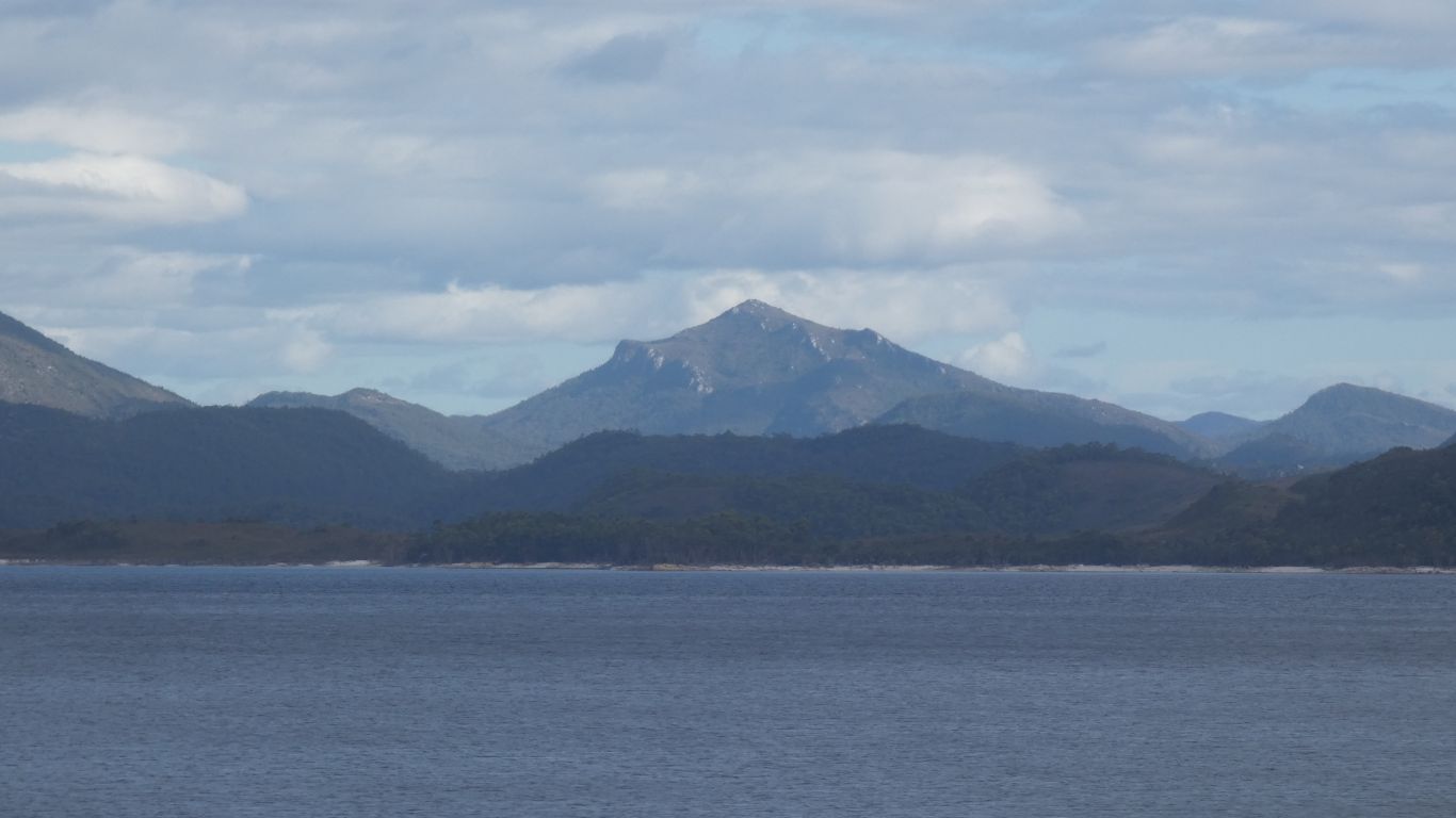
Mt Strahan, that we saw from our last night's camp, is there somewhere.
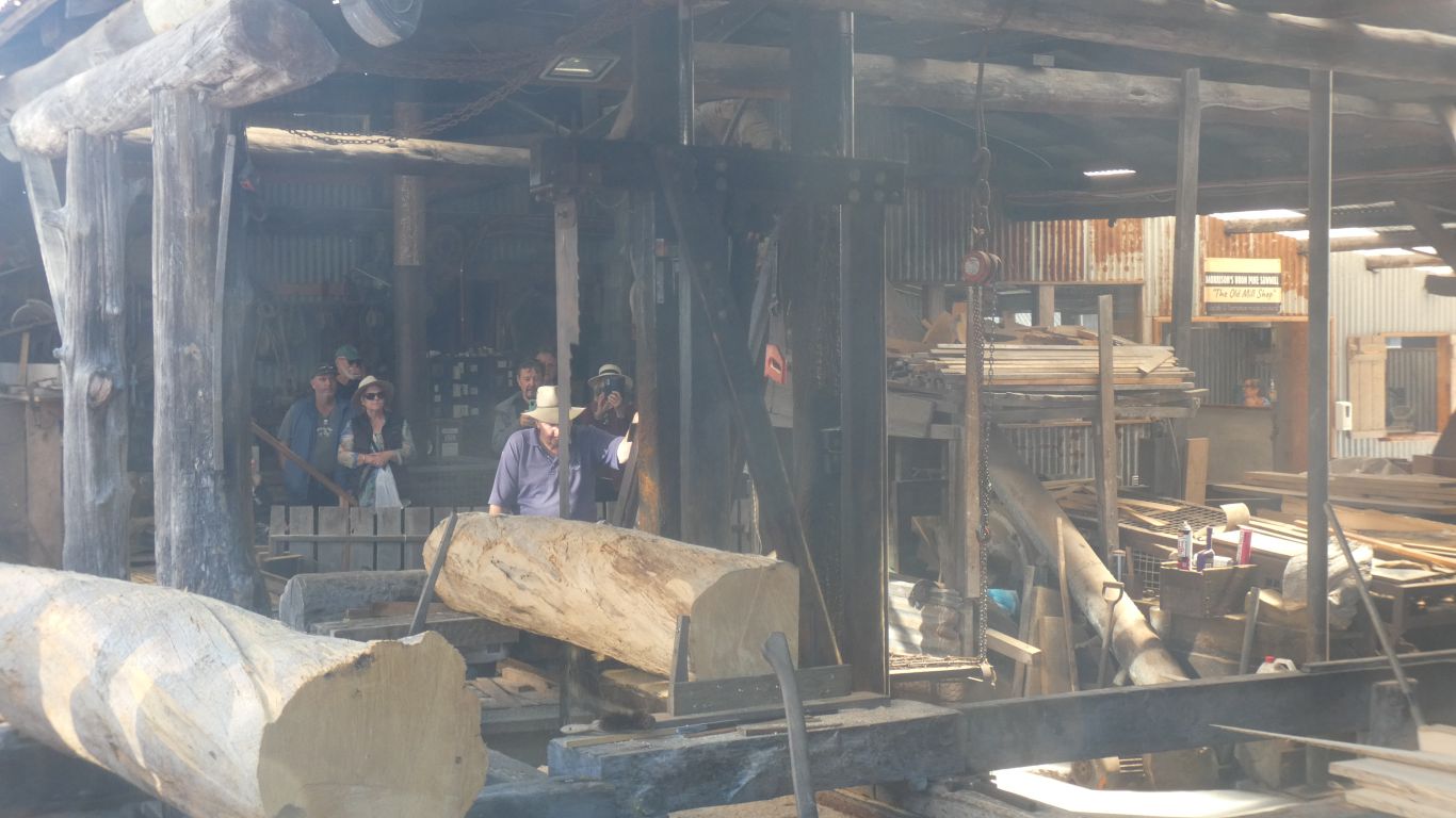
The timber seems to be harvested from logs that float down the rivers.
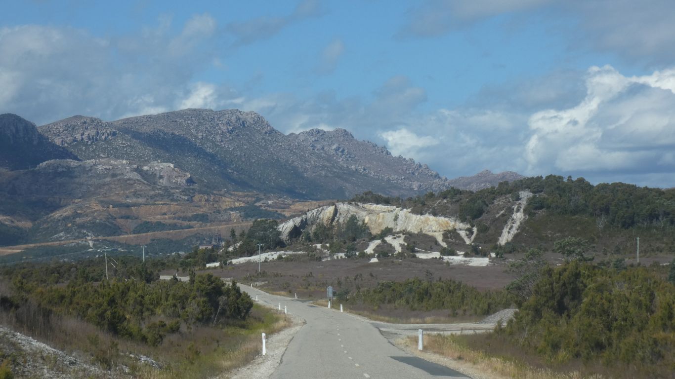
We head to Queenstown.
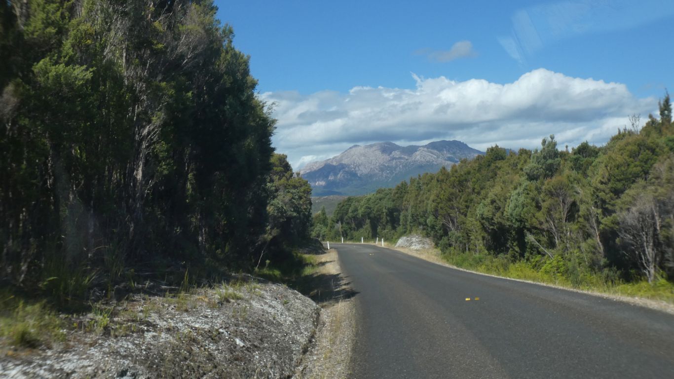
Traffic is light.
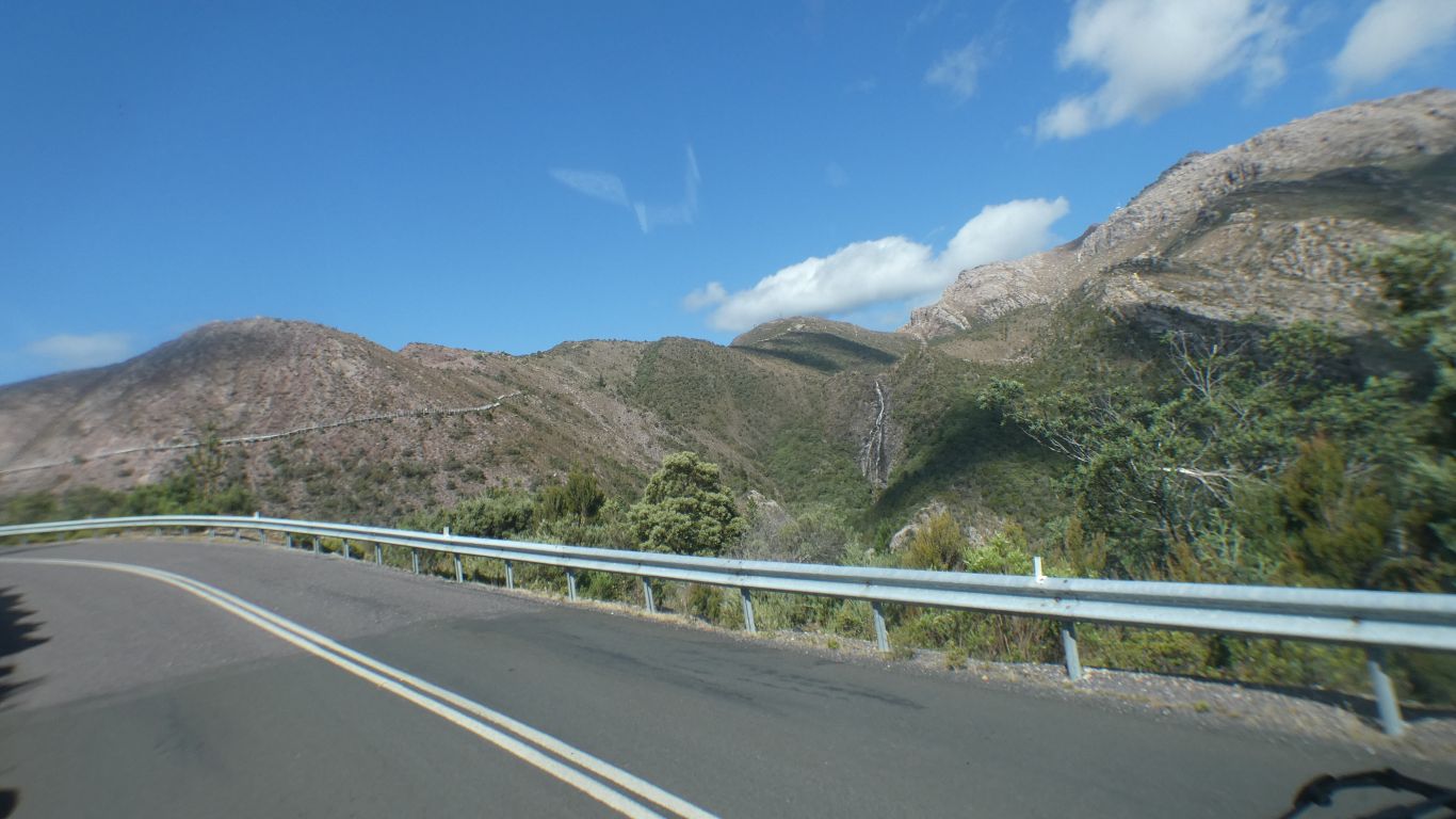
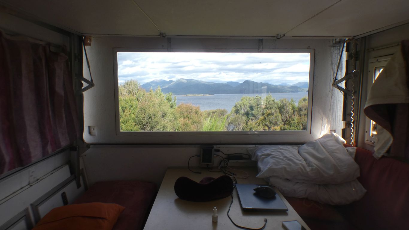
Our rear window is high enough to let us see over the bushes.
There's a hard walk, over 4-5 days. We may attempt part.
If the weather holds we will probably see it from the Mt McCall Track.
Tomorrow .....