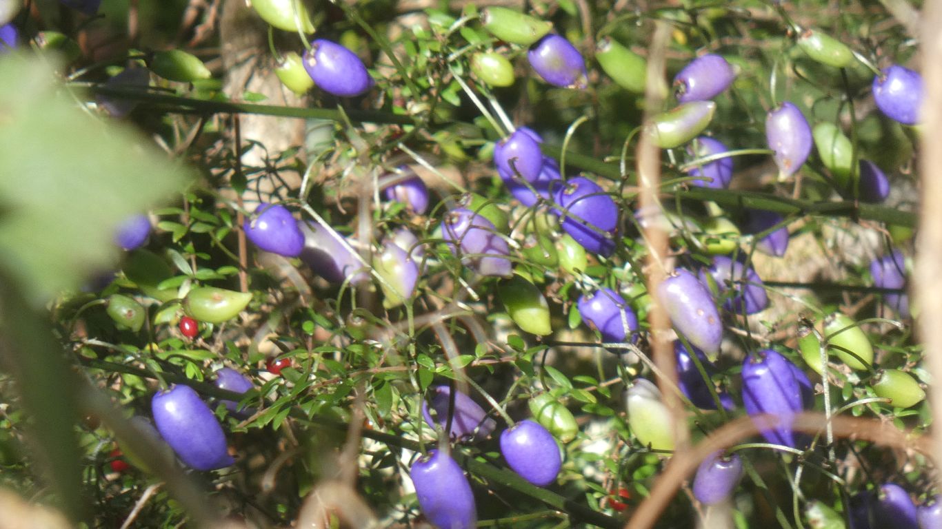
Poisonous.
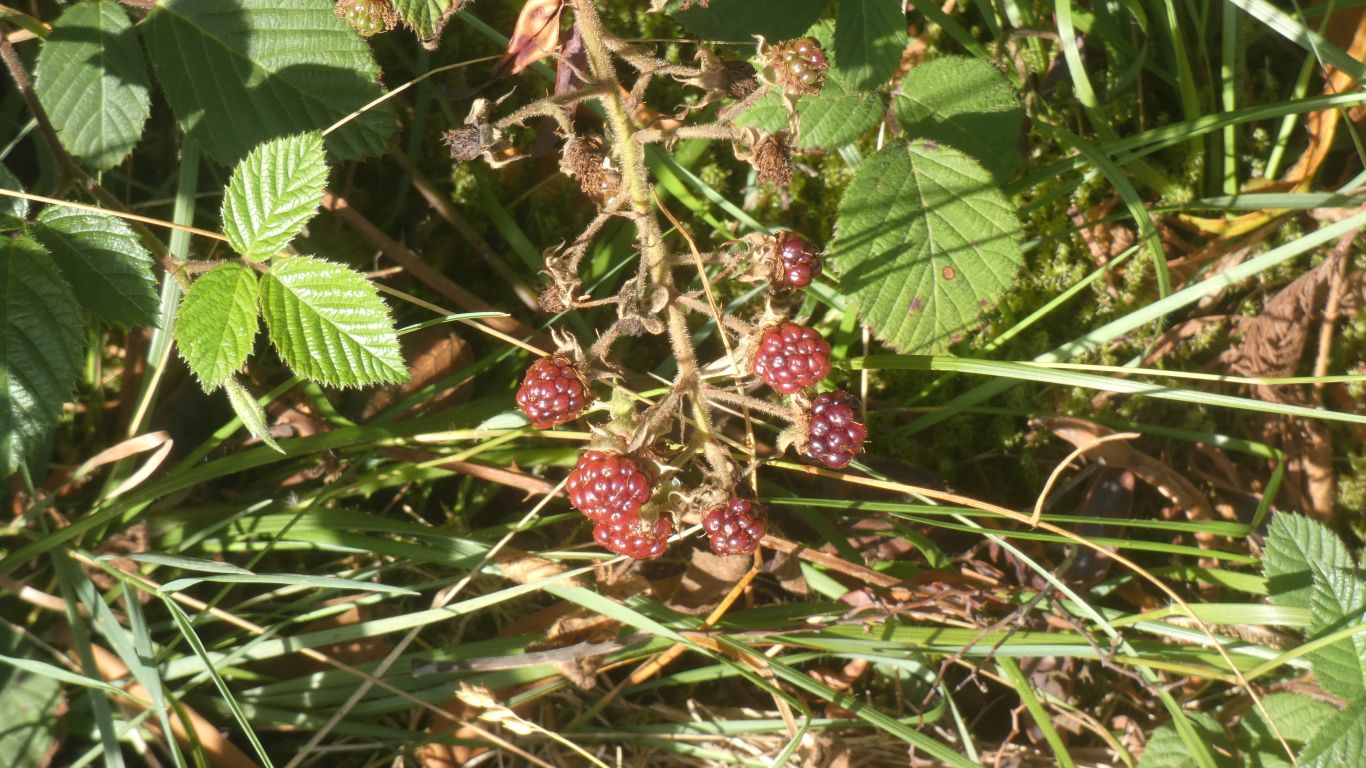
We've been looking forward to some blackberry pie. But so far ....
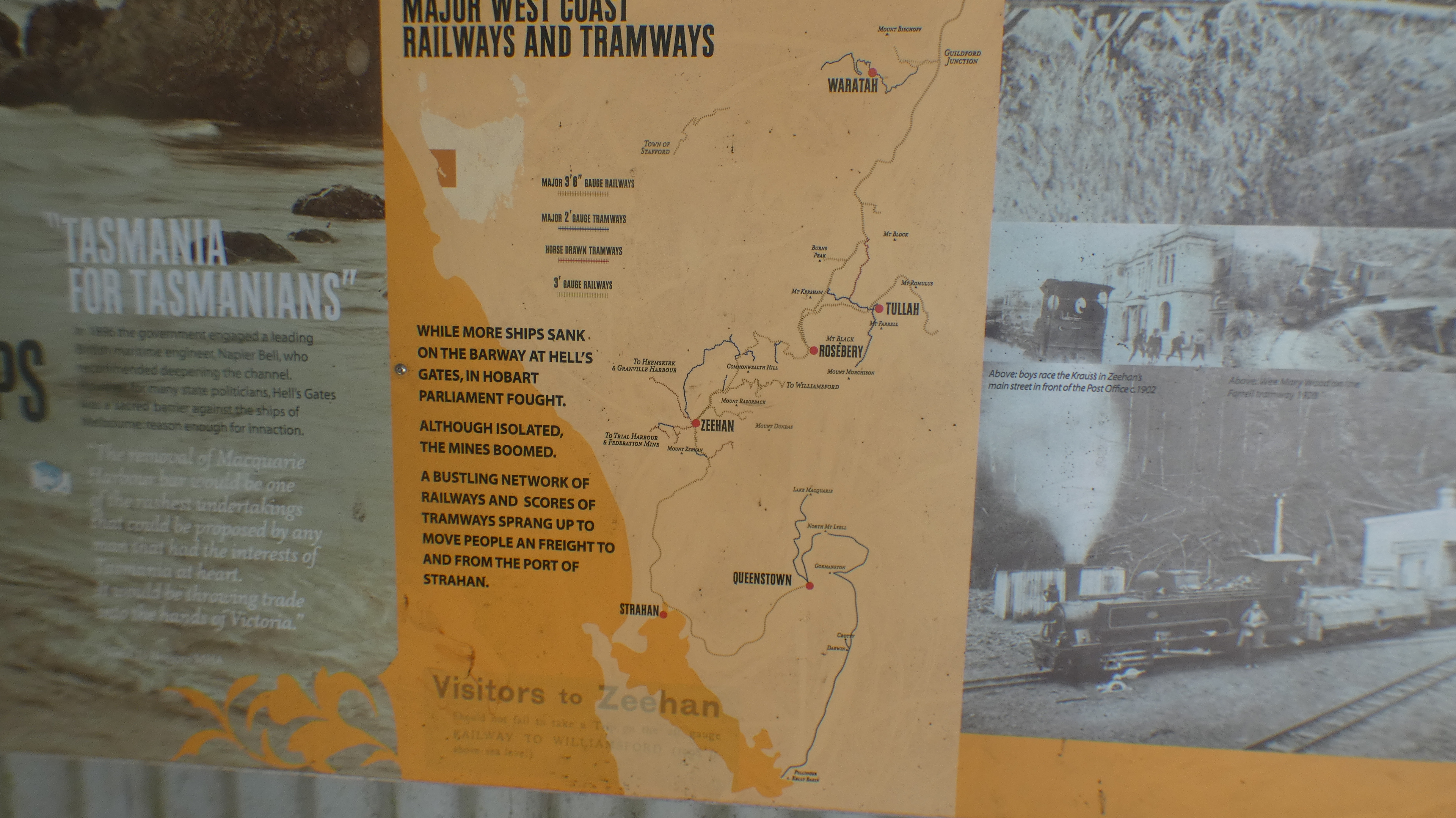
A map of all the lines we've been encountering.
A bit more understanding of where they all led.
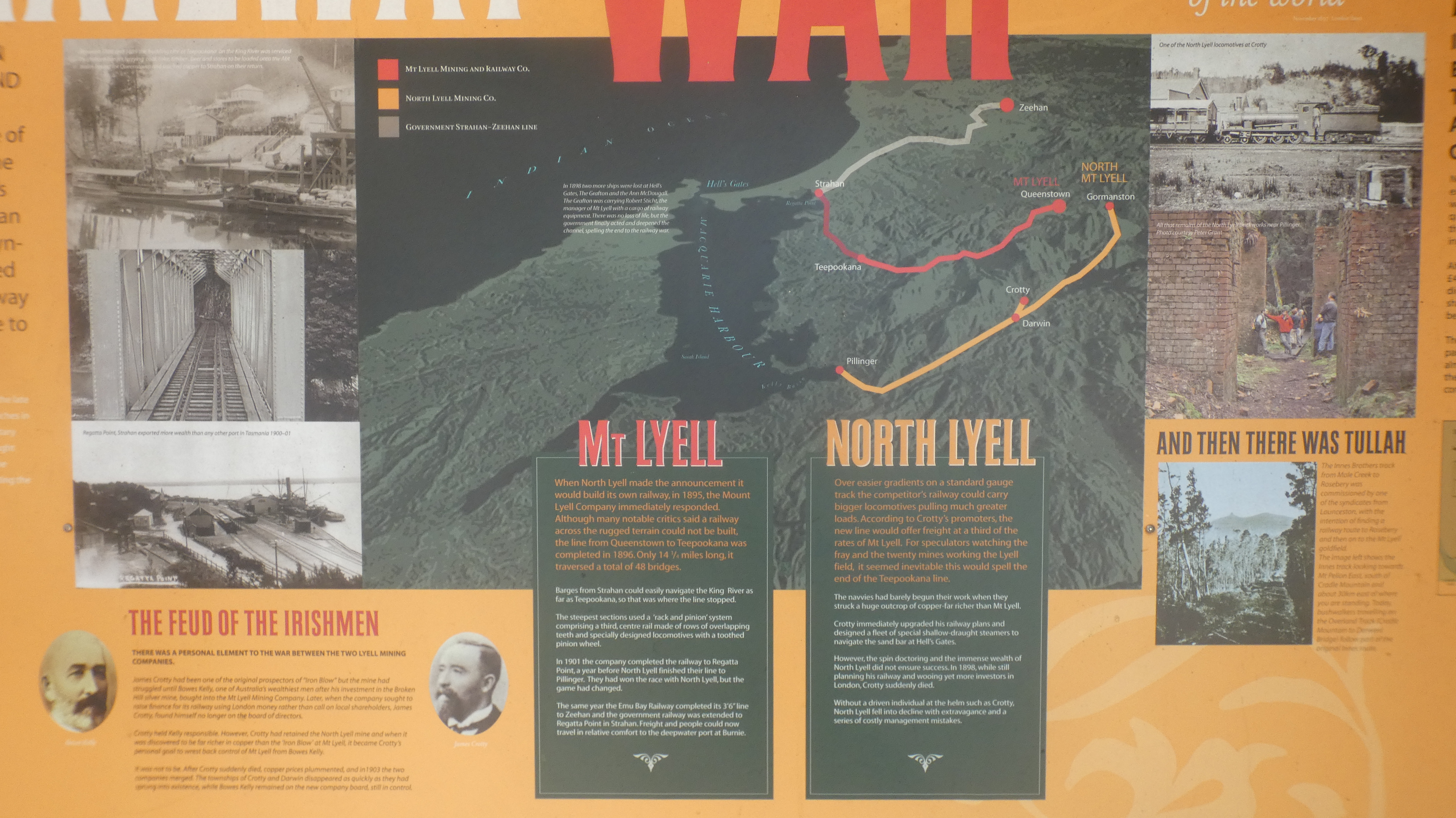
A bit of Irish rivalry that stopped when Crotty, North Lyell CEO, died, and the two Mt Lyell mines combines.
A nice bit of additional info on East Pilingur and its demise.
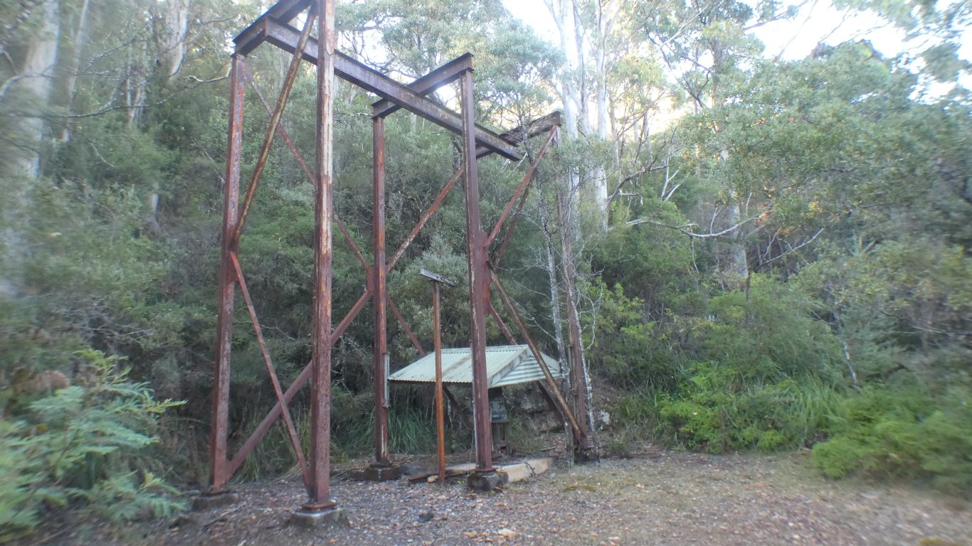
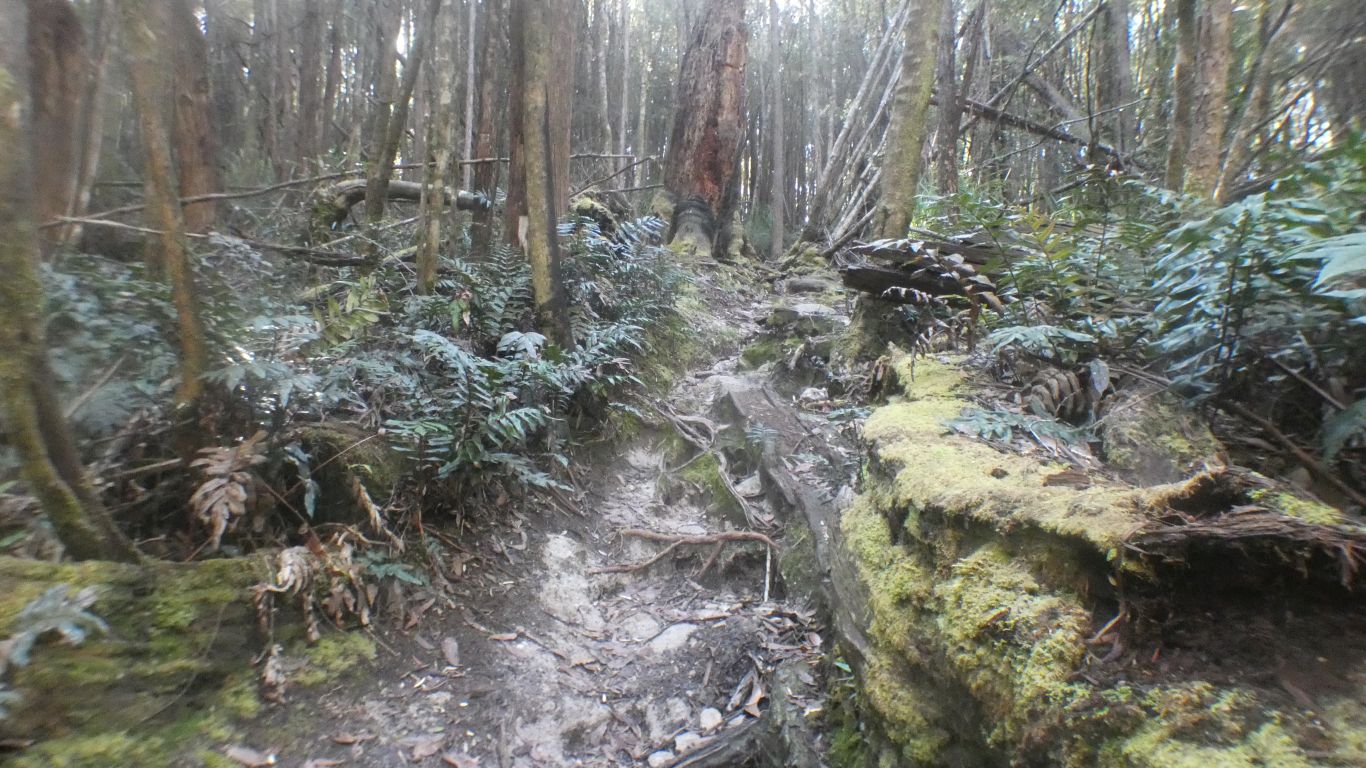
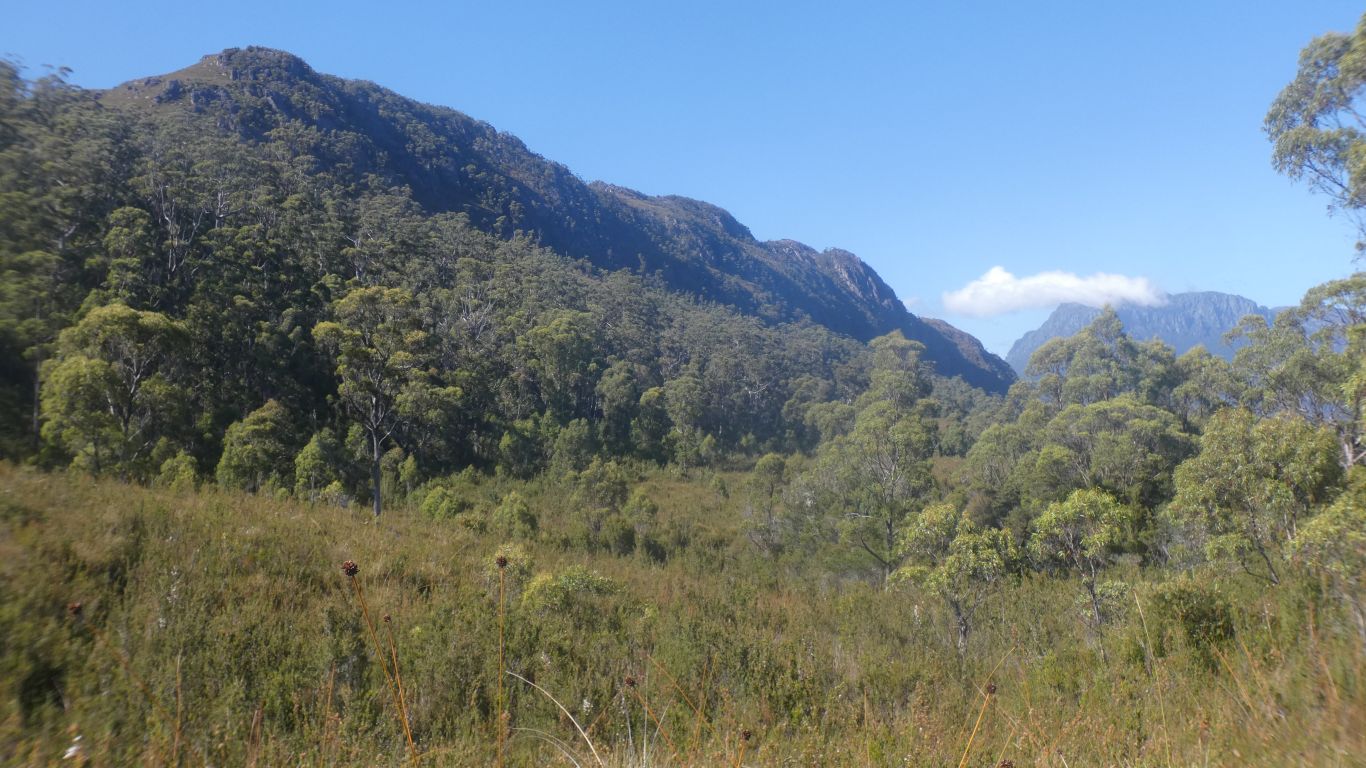
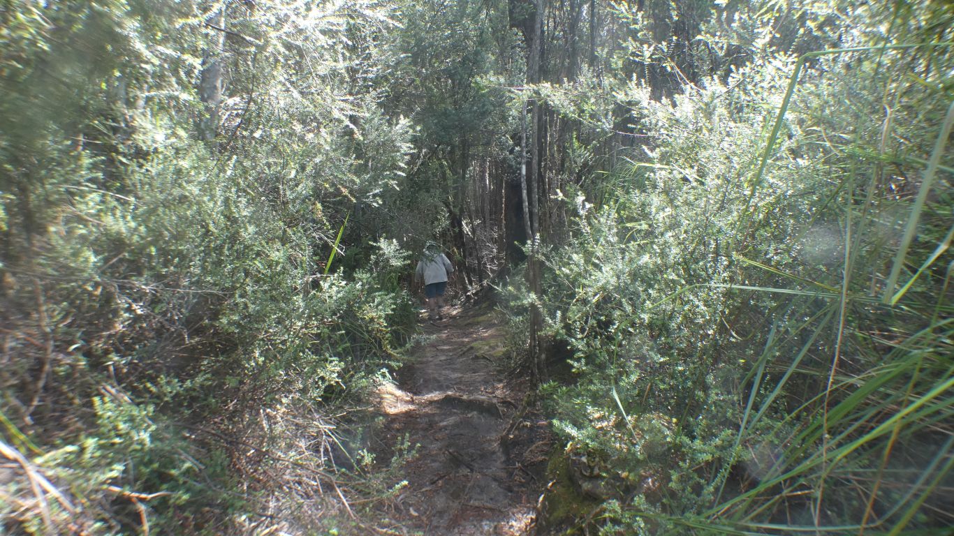
But we encounter remnants as we set out to walk to the top.
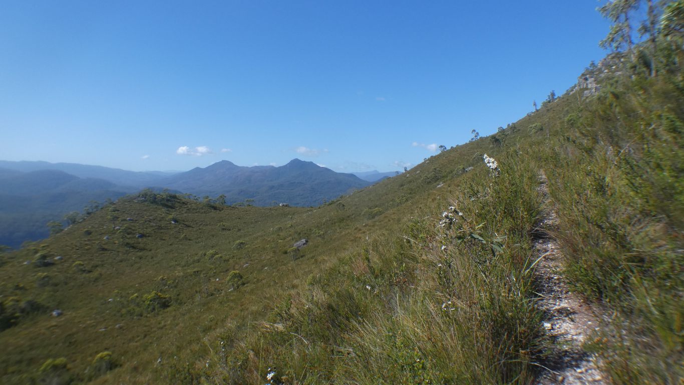
Initially steep, for about the first 700m. For a time next to what may have been a water race.
After that periods of not so steep, and a few flat bits.
All easy going after the steep bit.
We found lots of issues with the description in Alltrails. We also had the benefit of a video published a month ago, a couple on a wet track who we think became lost as they couldn't find the last bit of track.
There are two tracks. One leads to the summit, the other leads to Lake Herbert.
There's a junction part way, at -41.73753,145.63782, and another at -41.74079,145.64130.
At the first junction we took the left hand fork. Less steep, followed a ridge. The tracks met again at the second junction, we took the right hand, up to the summit. The left continues along the side of the ridge to the lake.
On the way down from the top we took the left hand track. Steeper, follows a gully, until it rejoins.
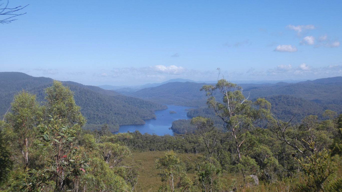
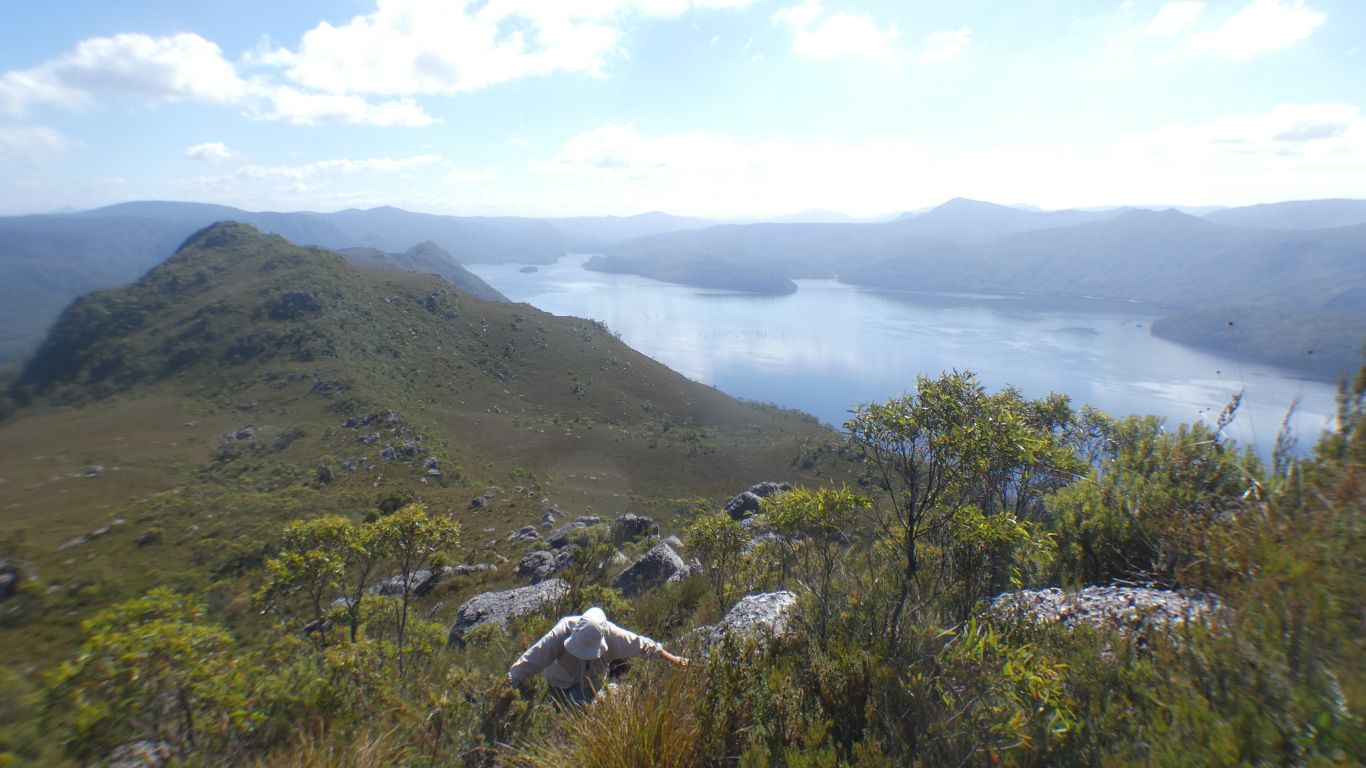
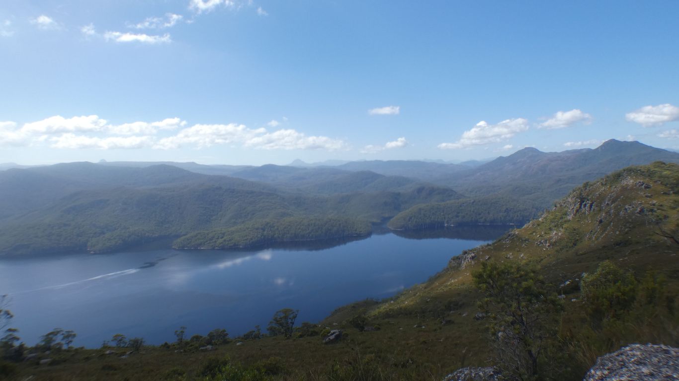
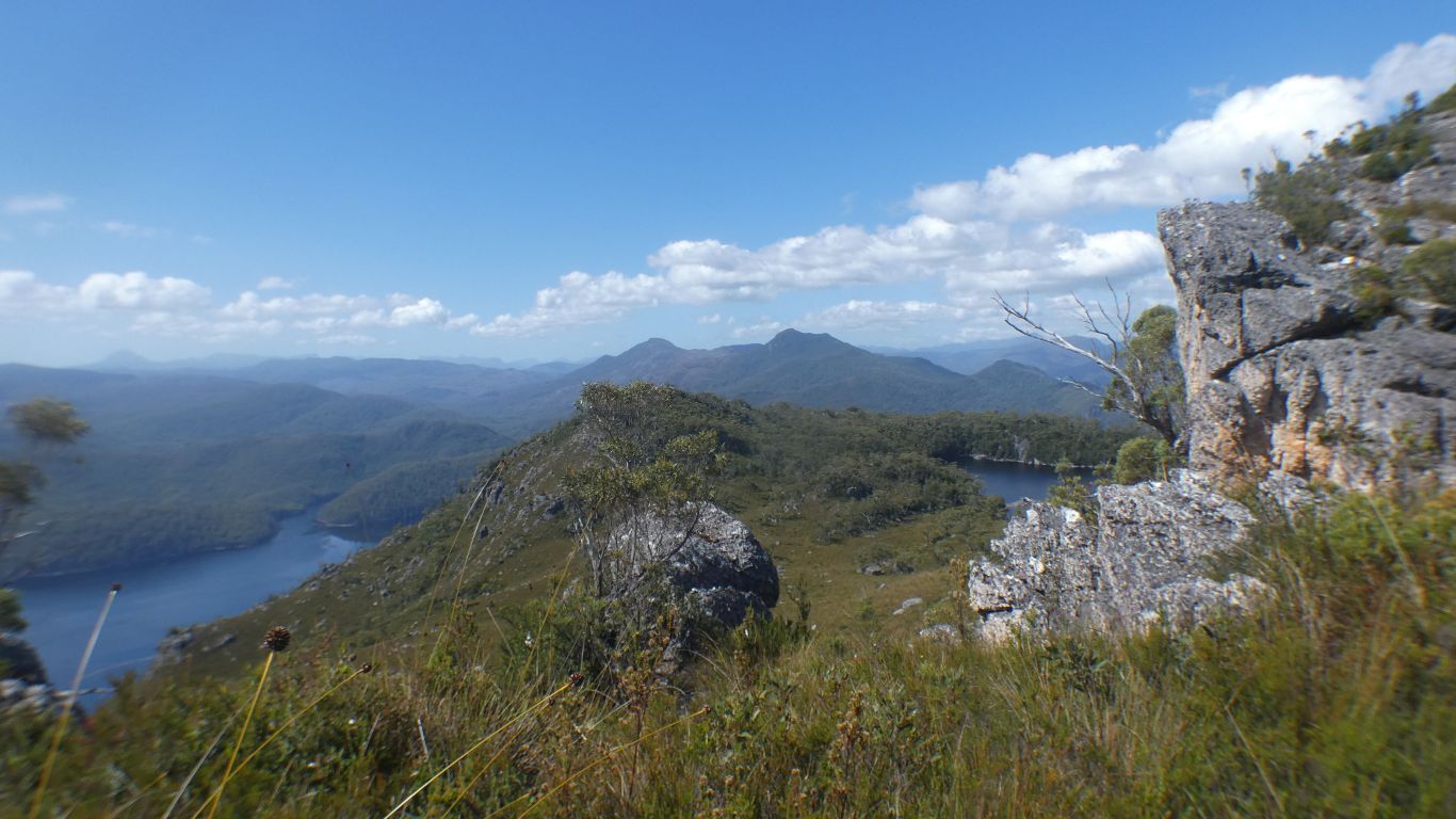
Looking north along the length of Lake Mackintosh.
We think it flows into Lake Rosebery. Which has a dam across the Pieman River.
The track has crossed to the eastern side of the ridge.
Dead trees the unmistakable signature of a possible hydro lake.
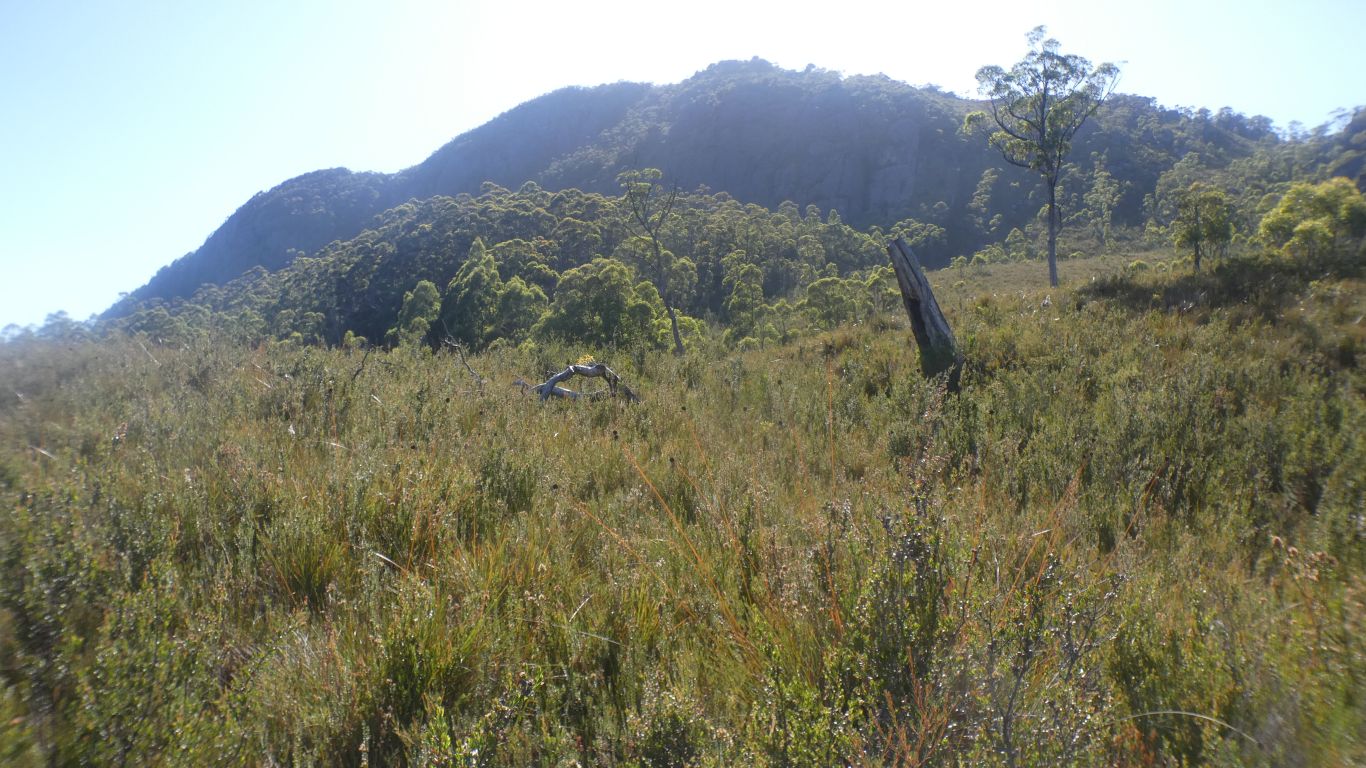
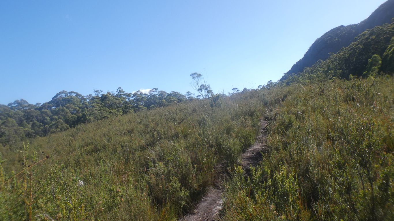
A few steep bits, but generally a steady plod.
This about what the track to Lake Herbert looks like, left at the top junction.
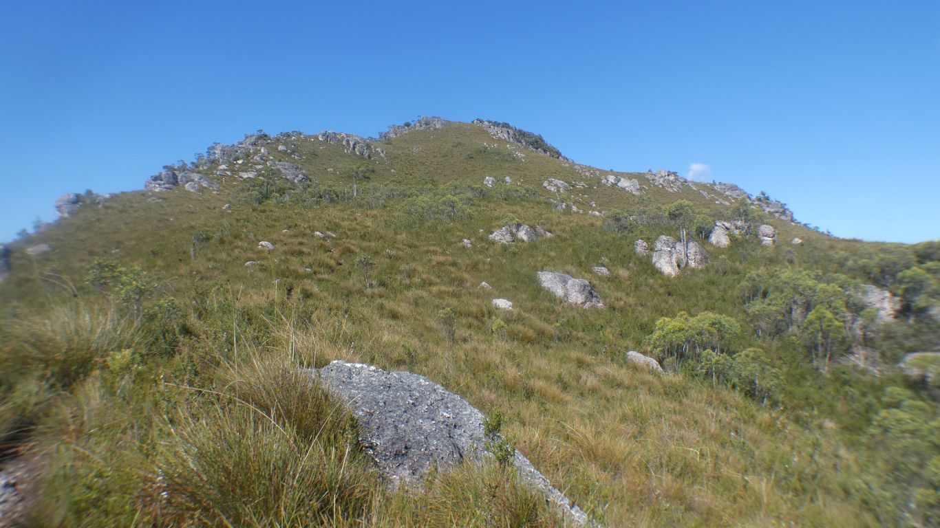
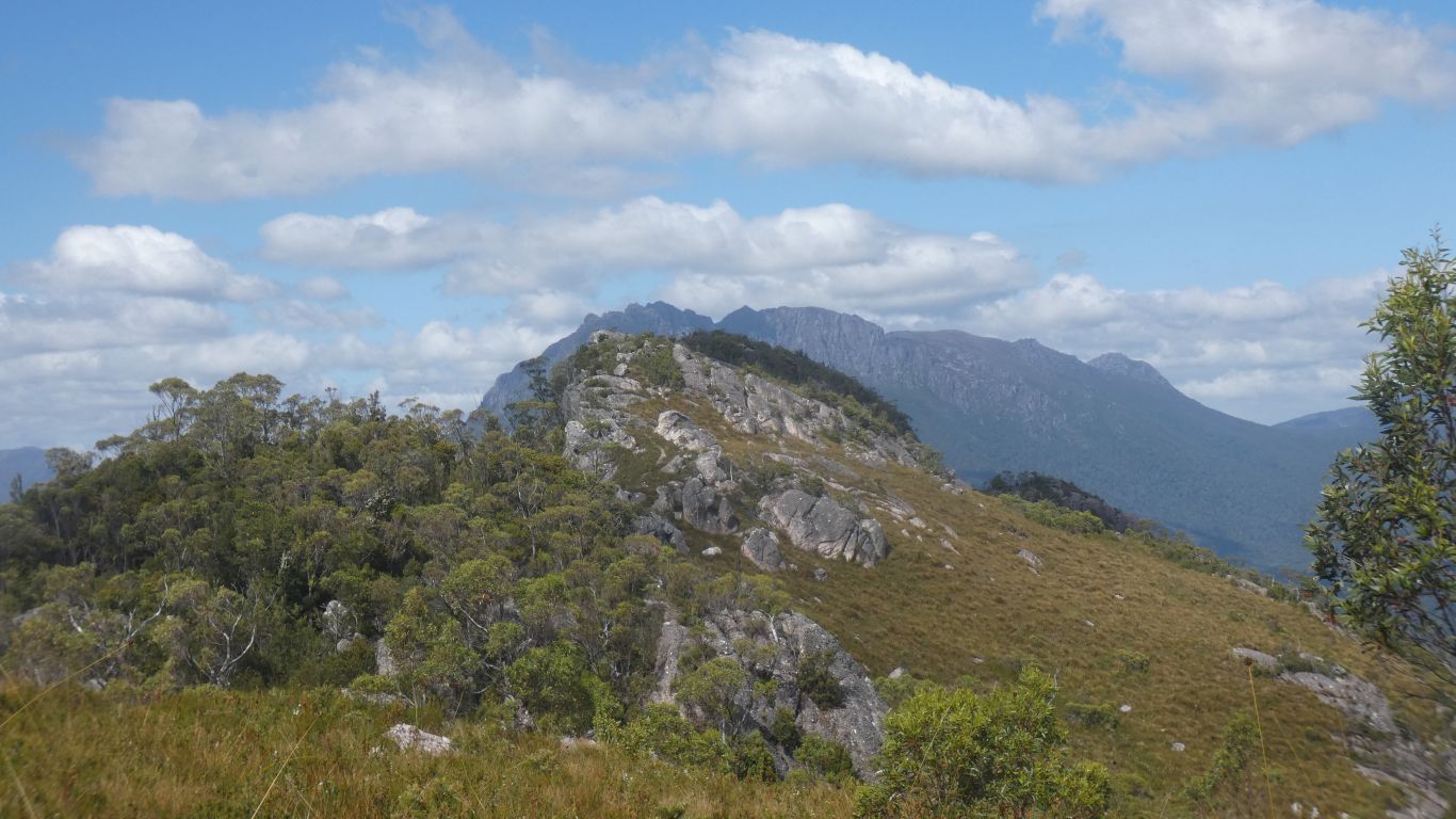
It isn't the top.
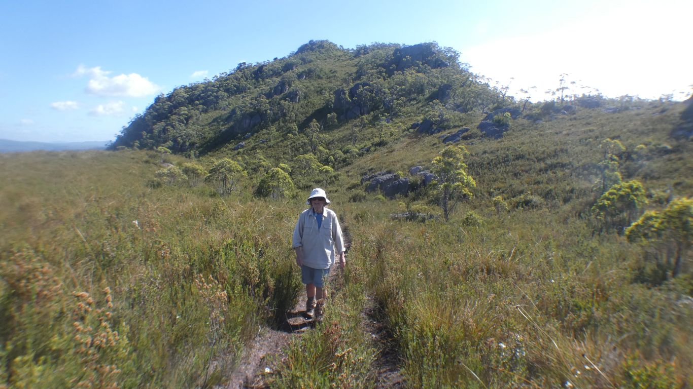
We are past the second junction, the track leads up the left hand edge of the pic. Well defined to us.
We are high enough for button grass to dominate.
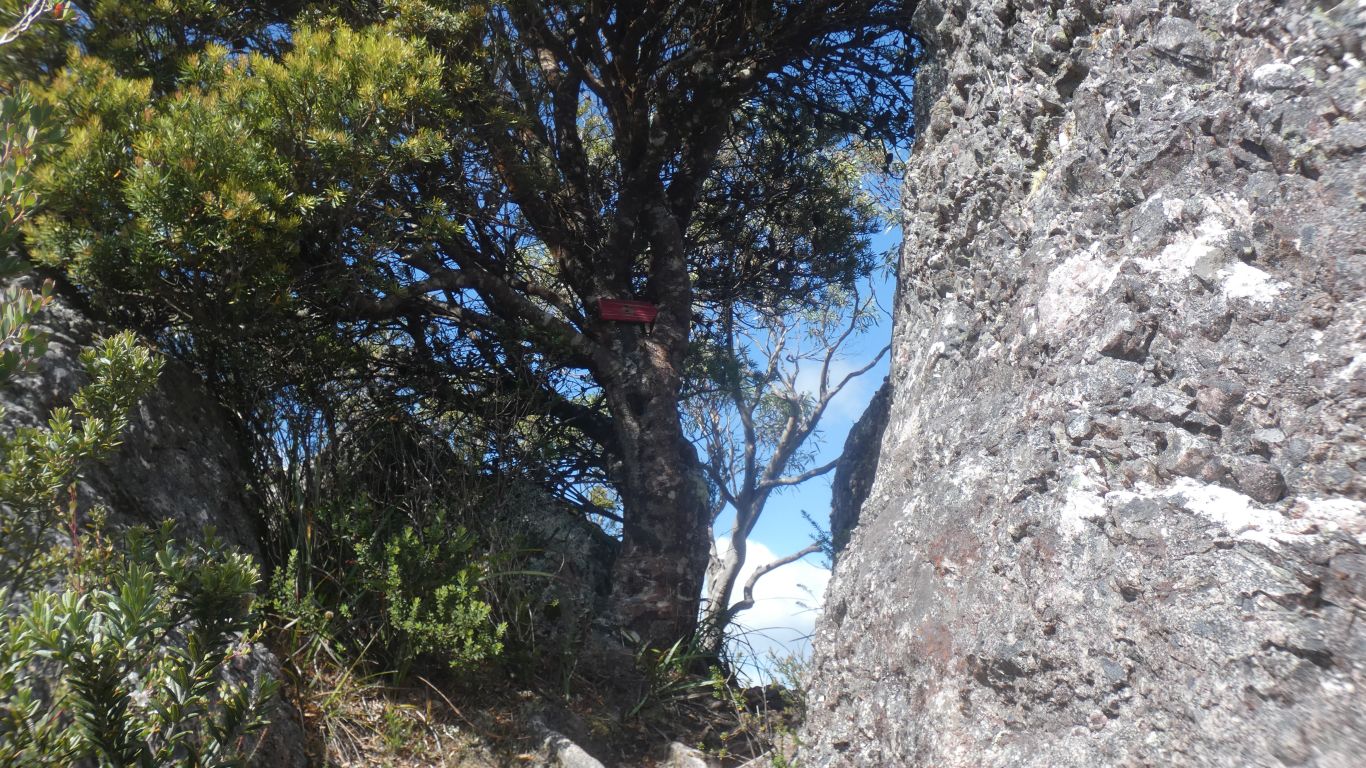
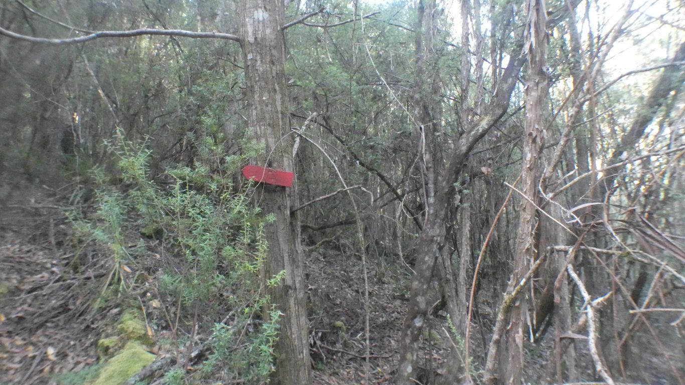
On one we find ourselves walking between rocks, and a strategically placed track marker.
The only one we saw above the tree line.
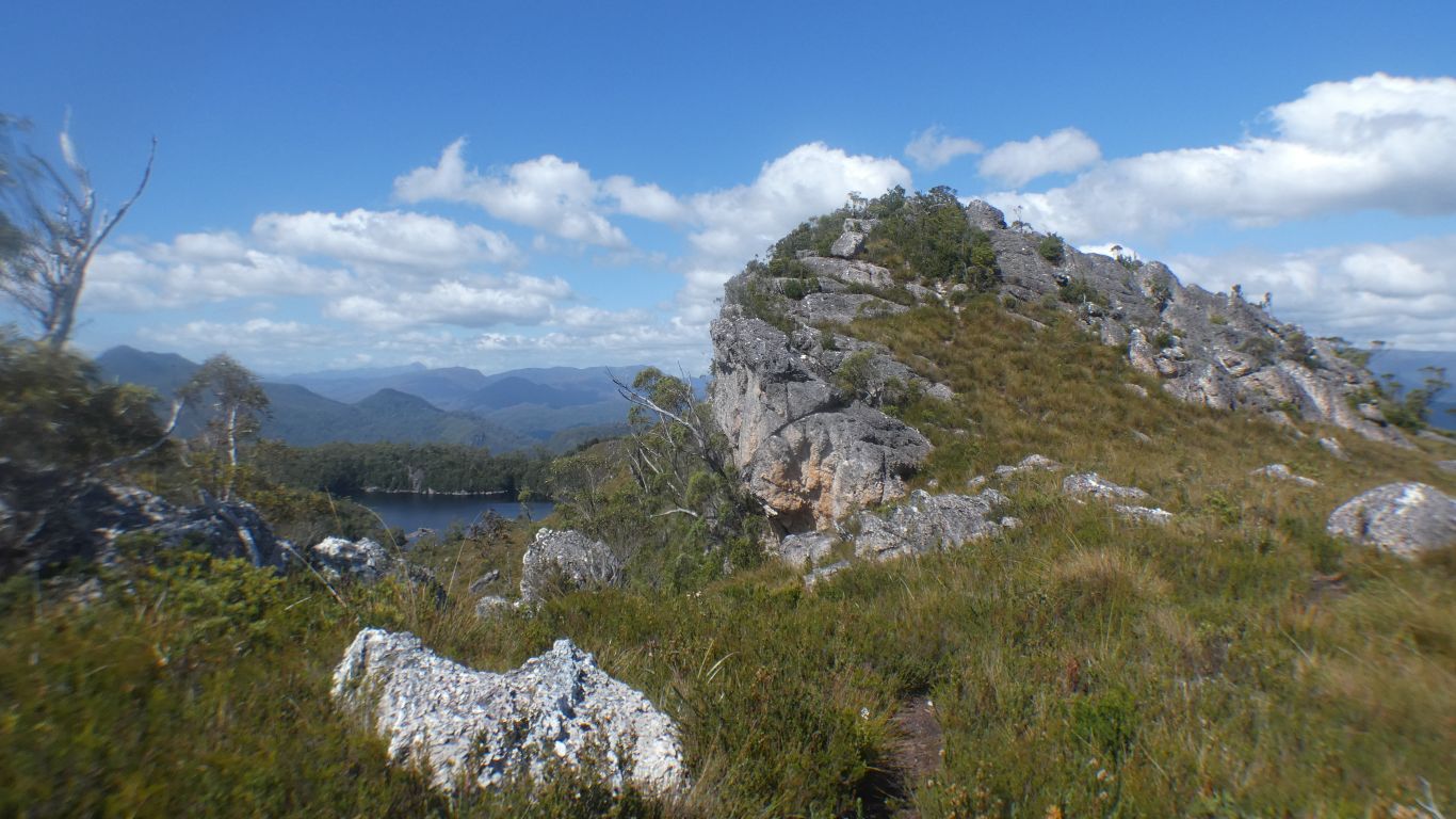
We are not sure what the rock is.
The track winds slowly (at least we are slow) towards it. A bit down, a bit up.
Ali stops while I do a recce. As always both of us keen to meet our goal. Though we sometimes wonder why.
Lake Rosebery, looking north west.

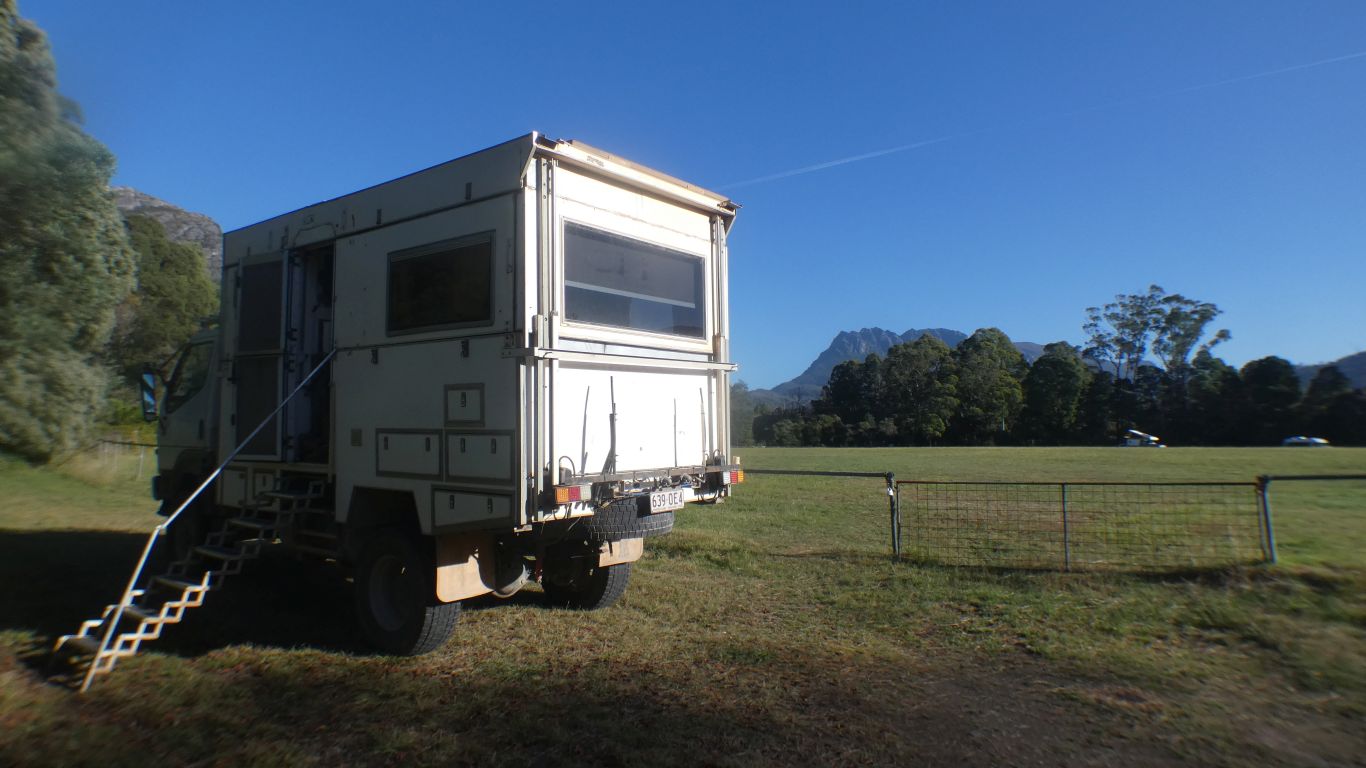
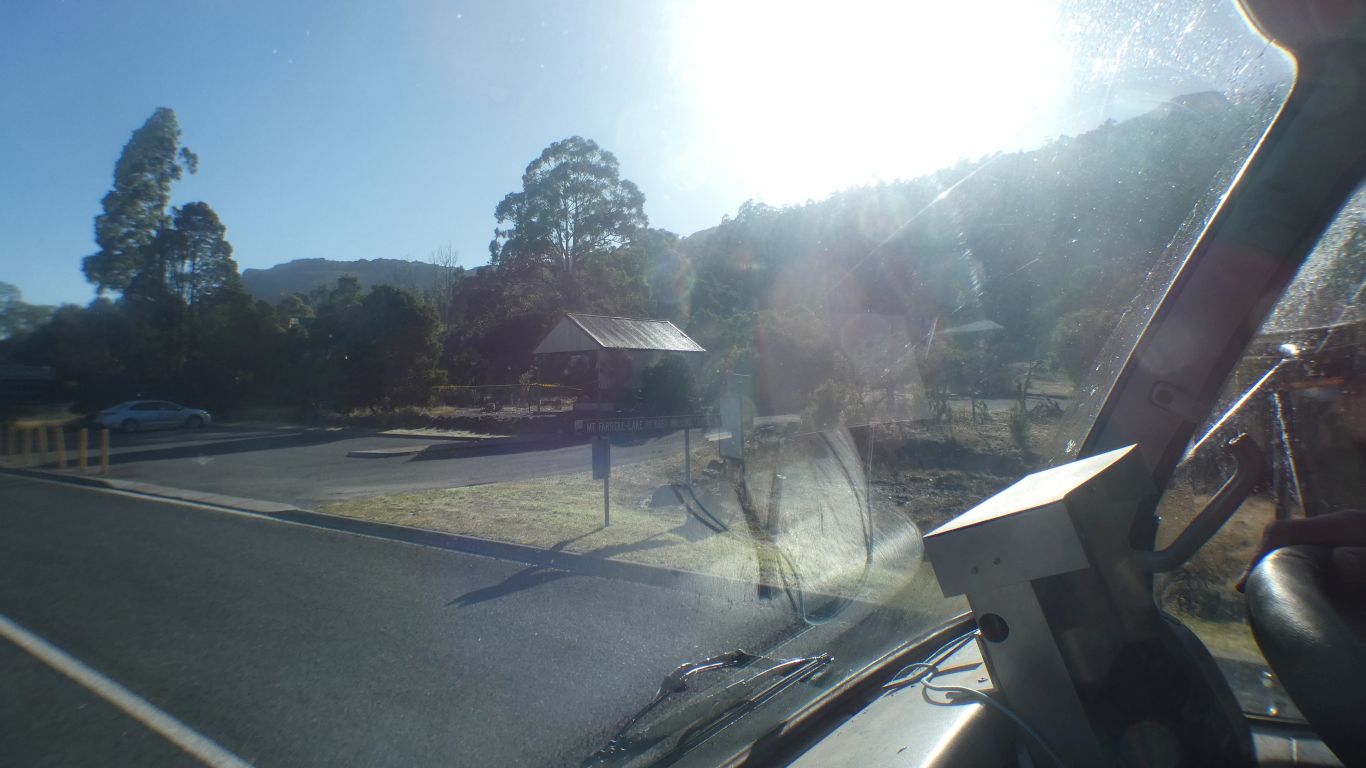
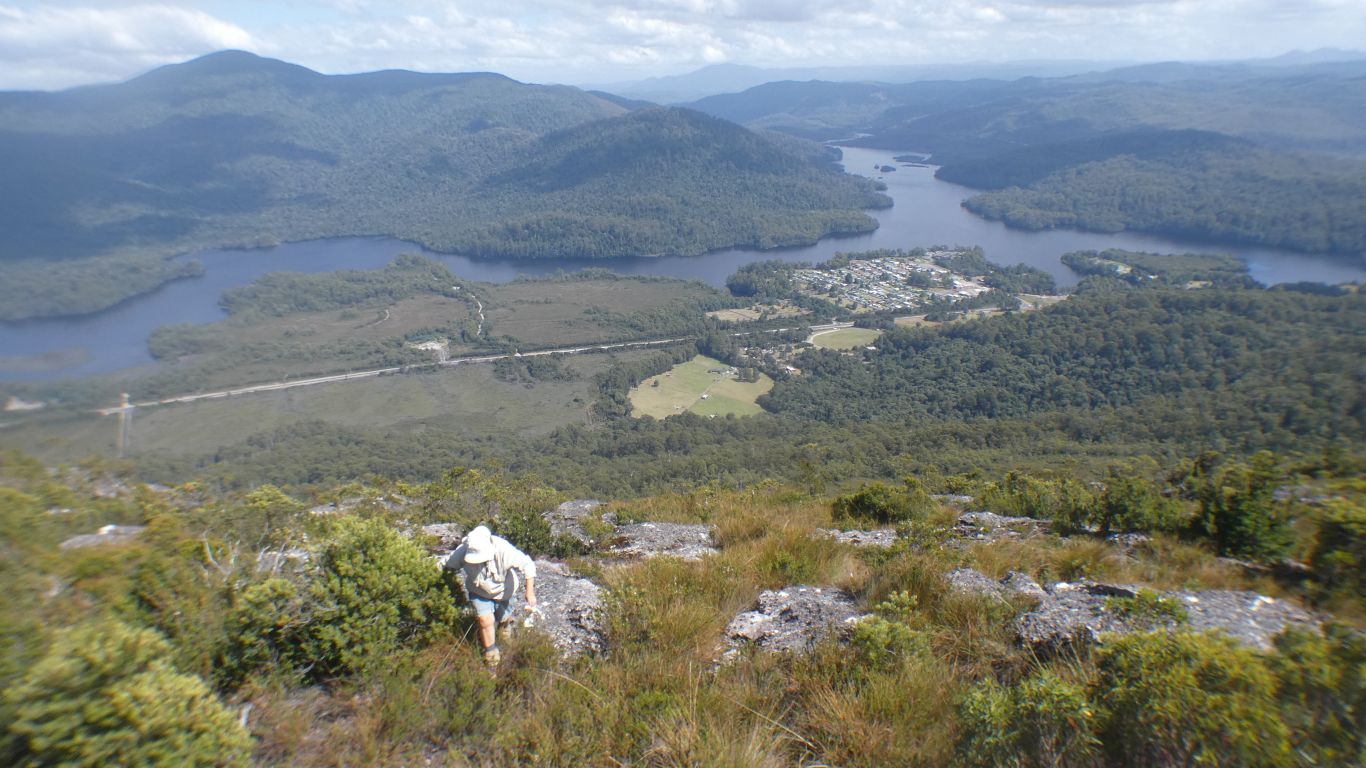
Our camp in the oval, about centre this side of the village. Lake Rosebery fading into the distance, the connection to Lake Macintosh to the right.
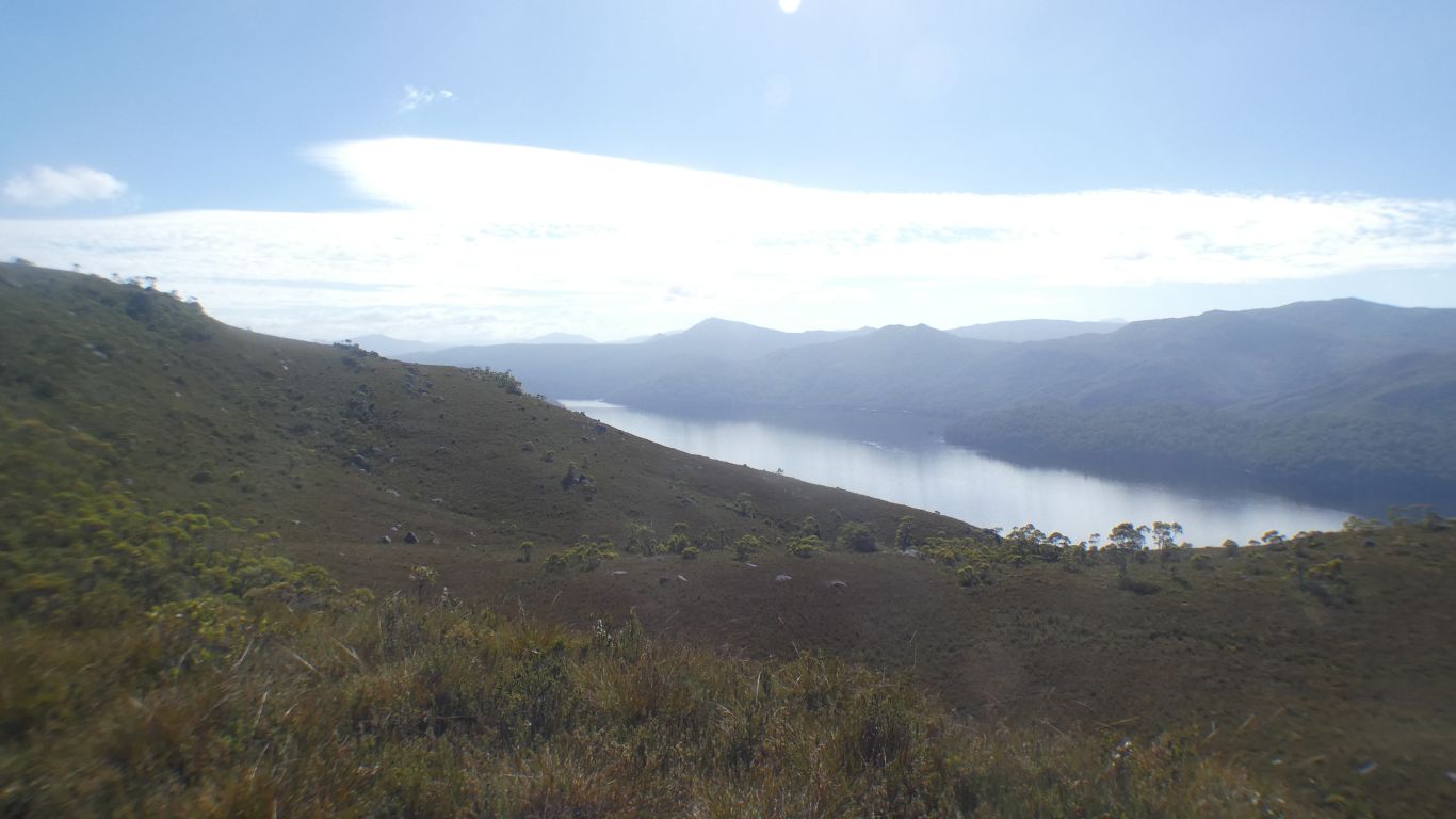
Noticeably higher than Lake Macintosh.
We like heights less than we used to.
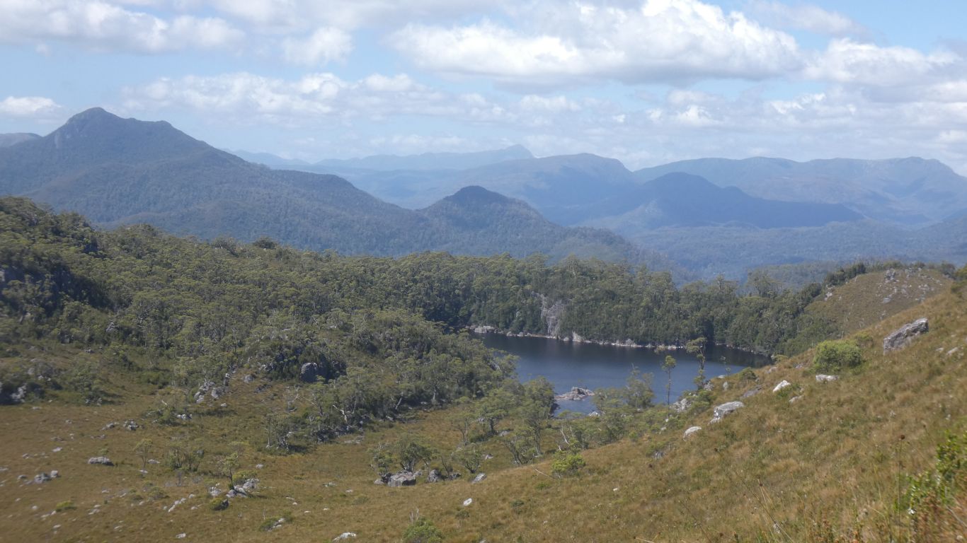
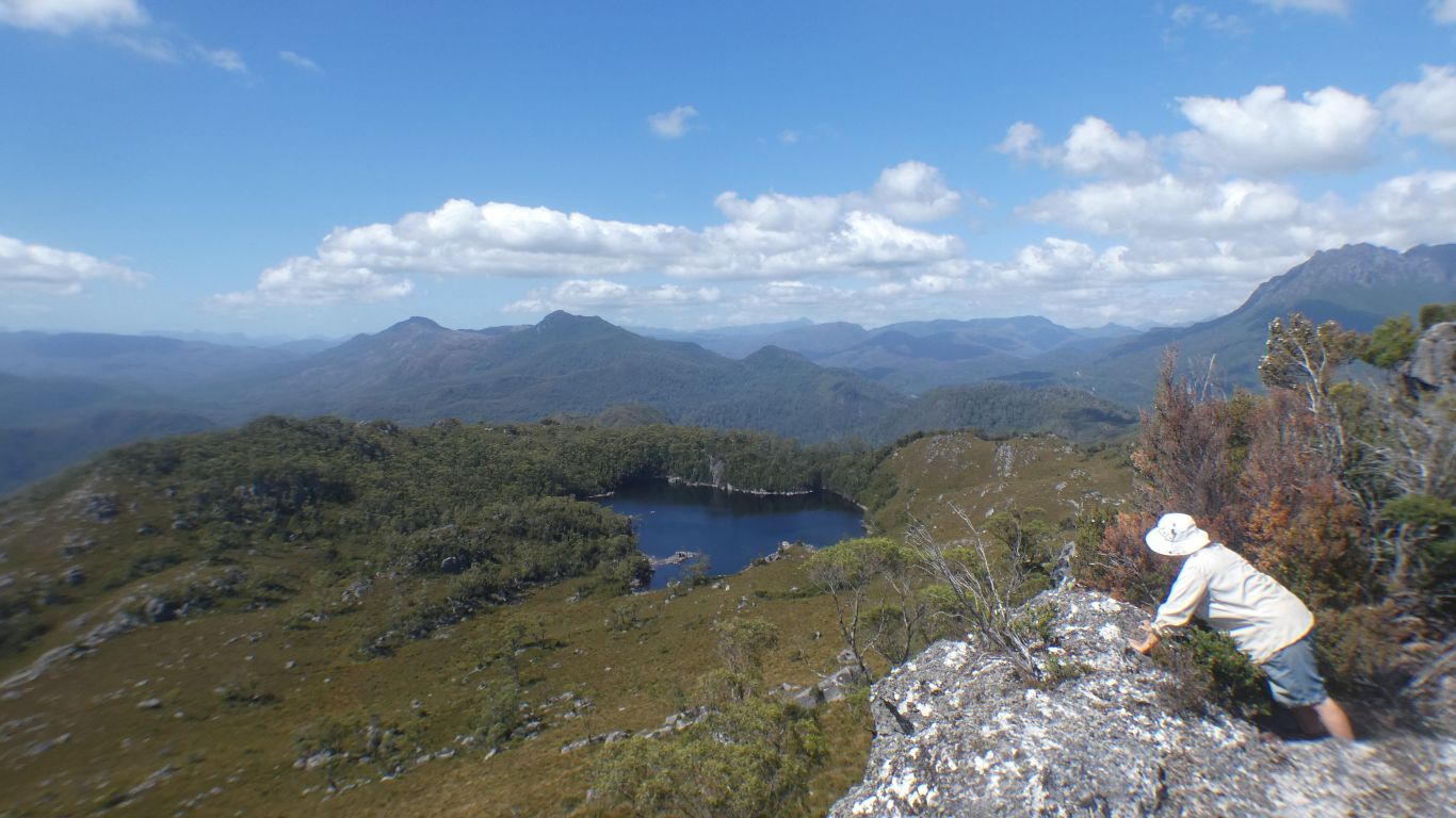
More of Lake Herbert.
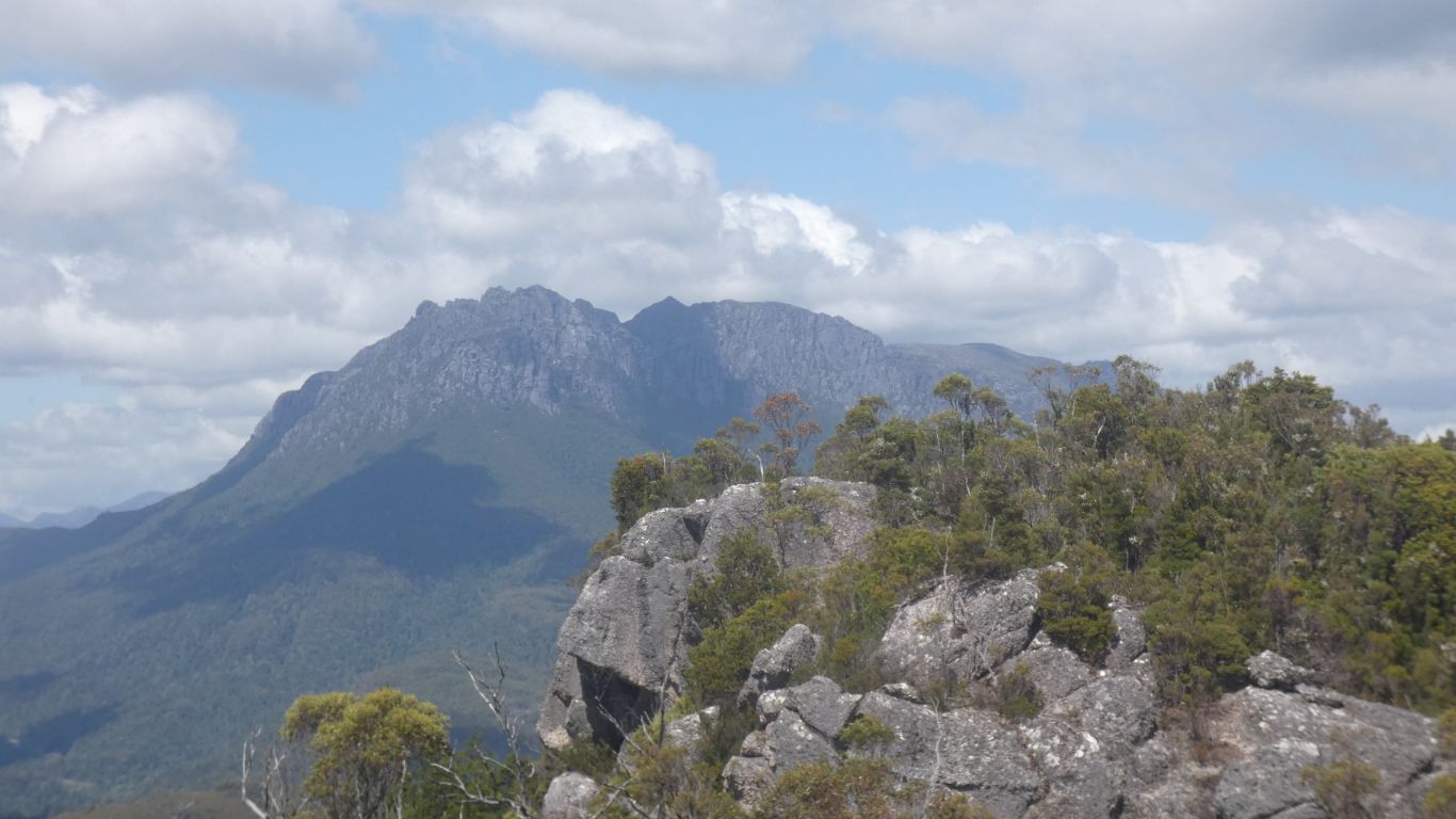
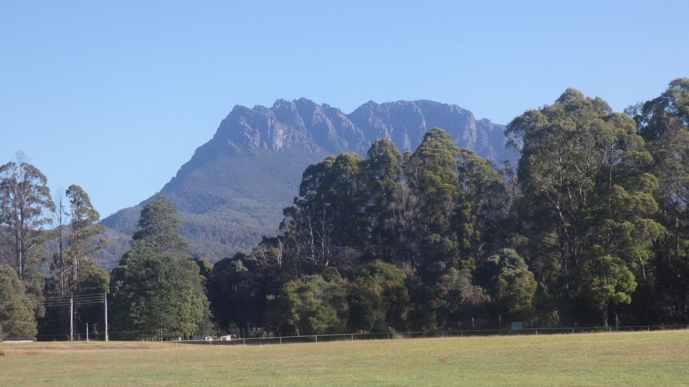
A pic of Mt Murchison.
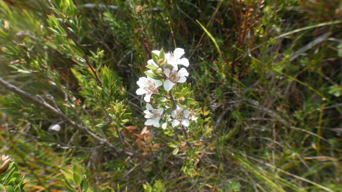
As are bees.
Steeper, but shorter.
Eventually we reach tree level. No longer avoiding rocks, and steps. Less stop start, longer paces.
Just the last steep bit to annoy us.
Tired and aching, which seems to be our normal state for significant amounts of time. Its taken about 5 hours. Rightly described as hard. Though not difficult. We decide to retreat to Tullah Oval to lick our wounds. We reclaim our last night's camp site.