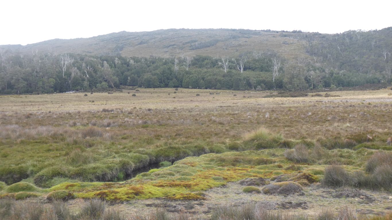
The Vale of Belvoir is fascinating from a few perspectives.
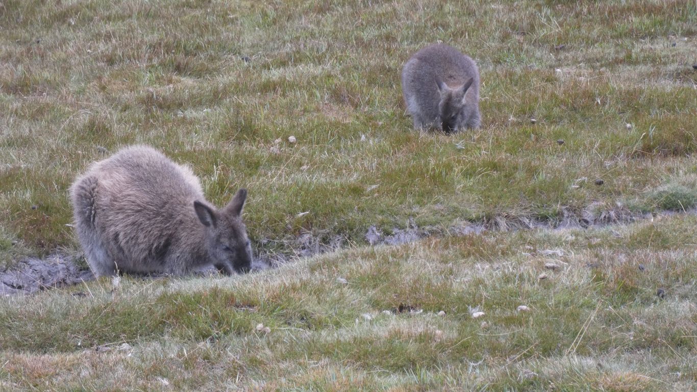
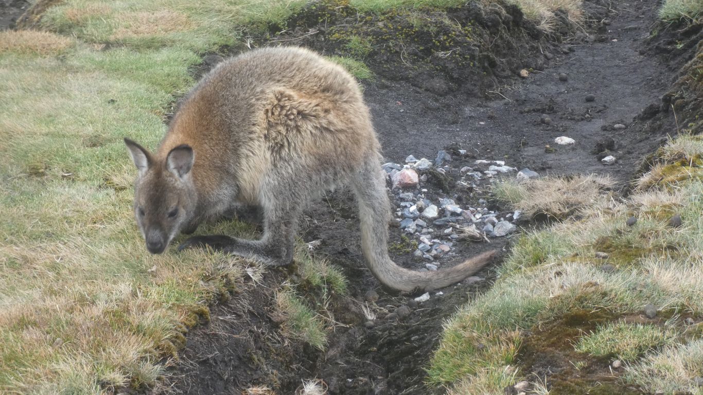
We have many discussions about the difference between padmelons and wallabies. They seem to have thicker fur here than at the coast. Yes, the weather is cooler.
Answer in a self addressed email, or next to another pic near the end of this page!
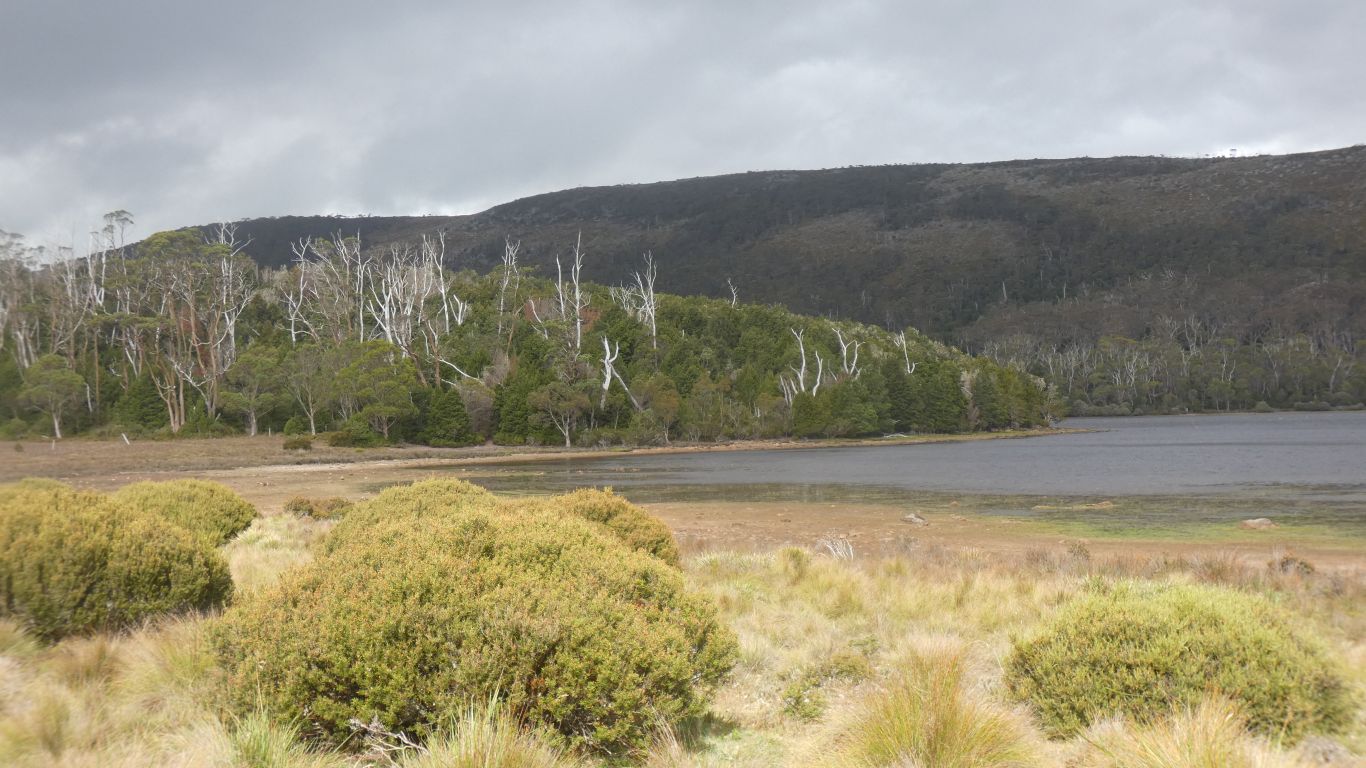
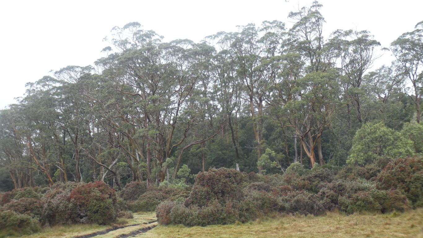
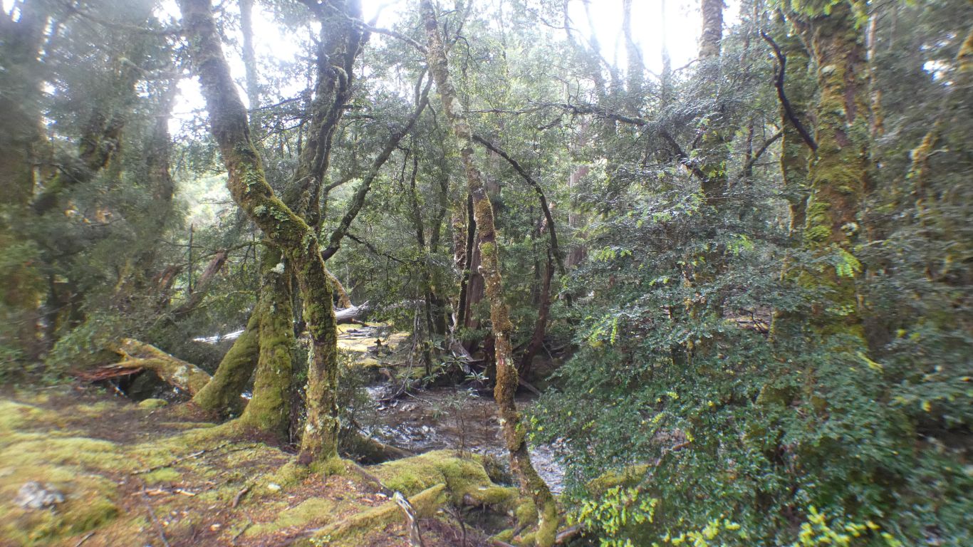
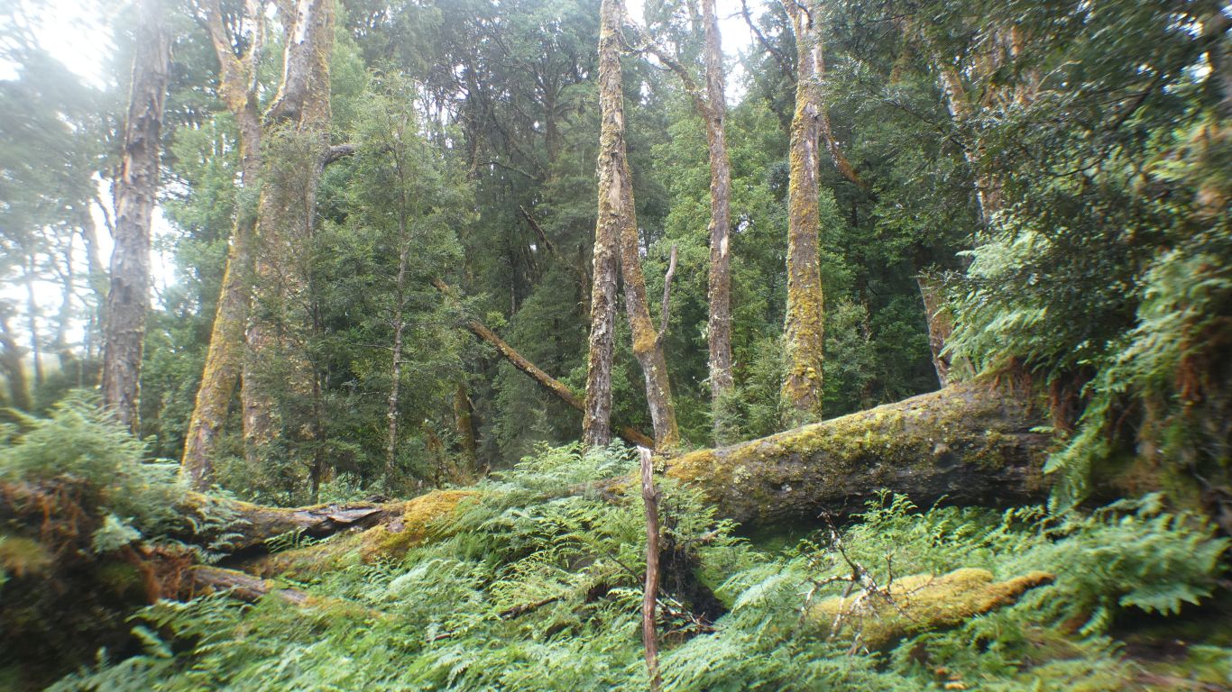
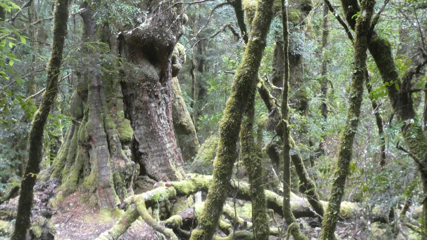
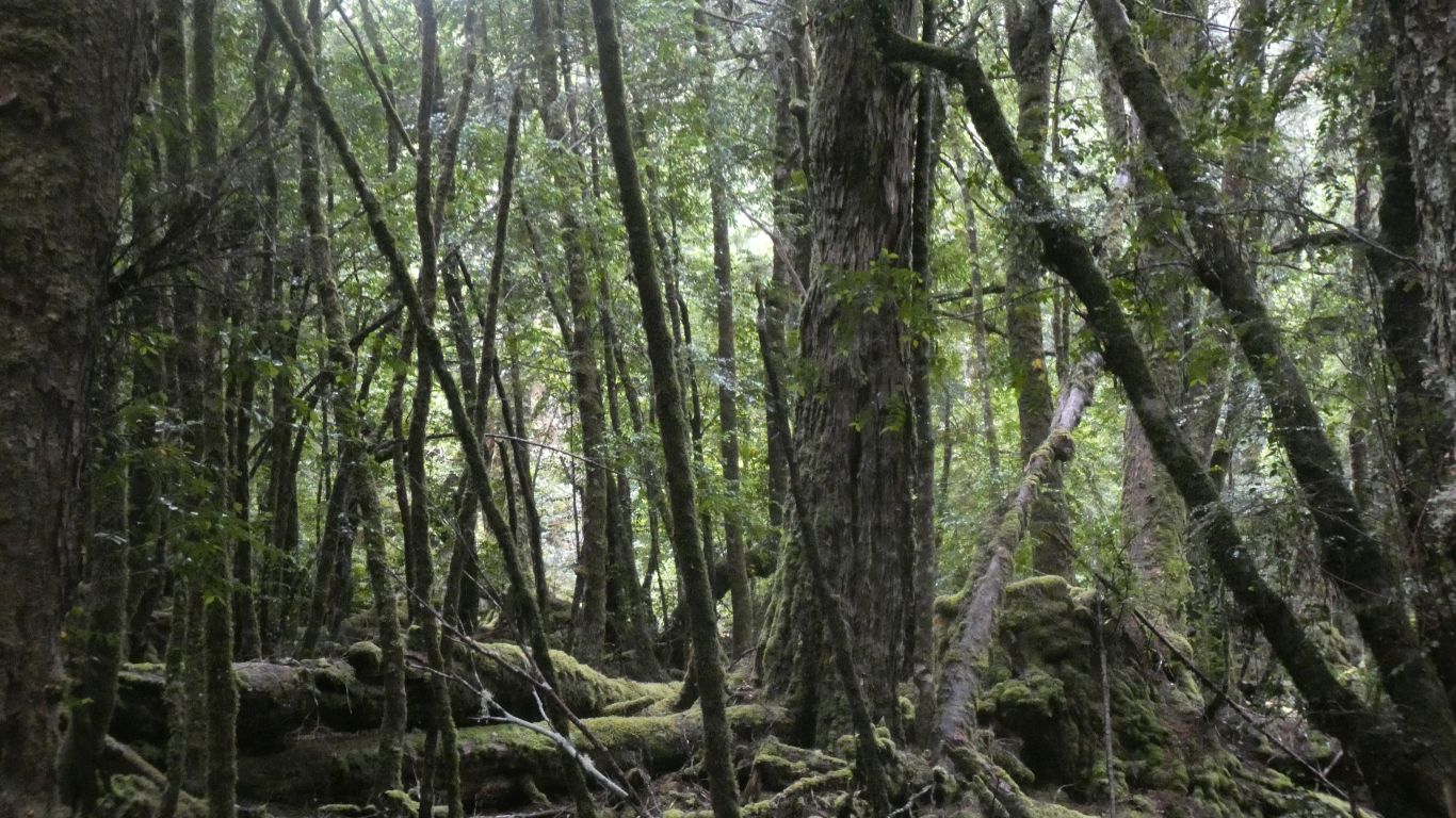
All the trees aren't eucalypts, just that they seem to dominate the top storey. Underneath a variety. The edge is quite dense, but gaps where the wallabies (they are Bennets Wallabies, red necked) jump in and out. Inside quite spacious.
Today seems to be taken up with forests. We hope to see both trees and forests!
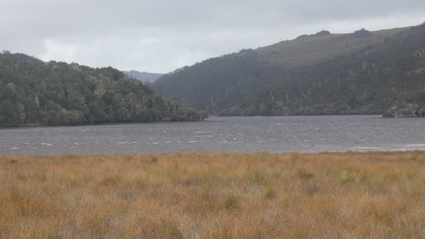
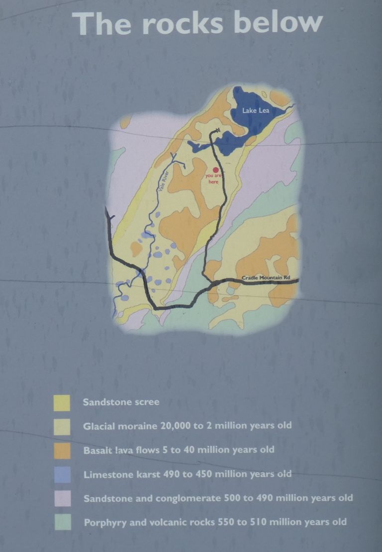
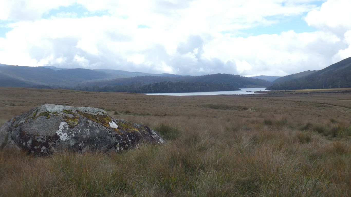
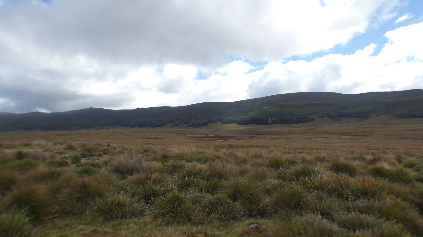
Looking north, the lake exits through the River Lea, which enters Lake Gairdner about 15km north east, where there is another campsite. Then the Wilmot River, which flows into the Forth River, through Forth to the sea.
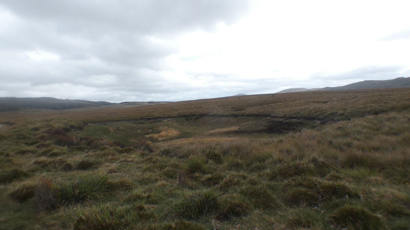
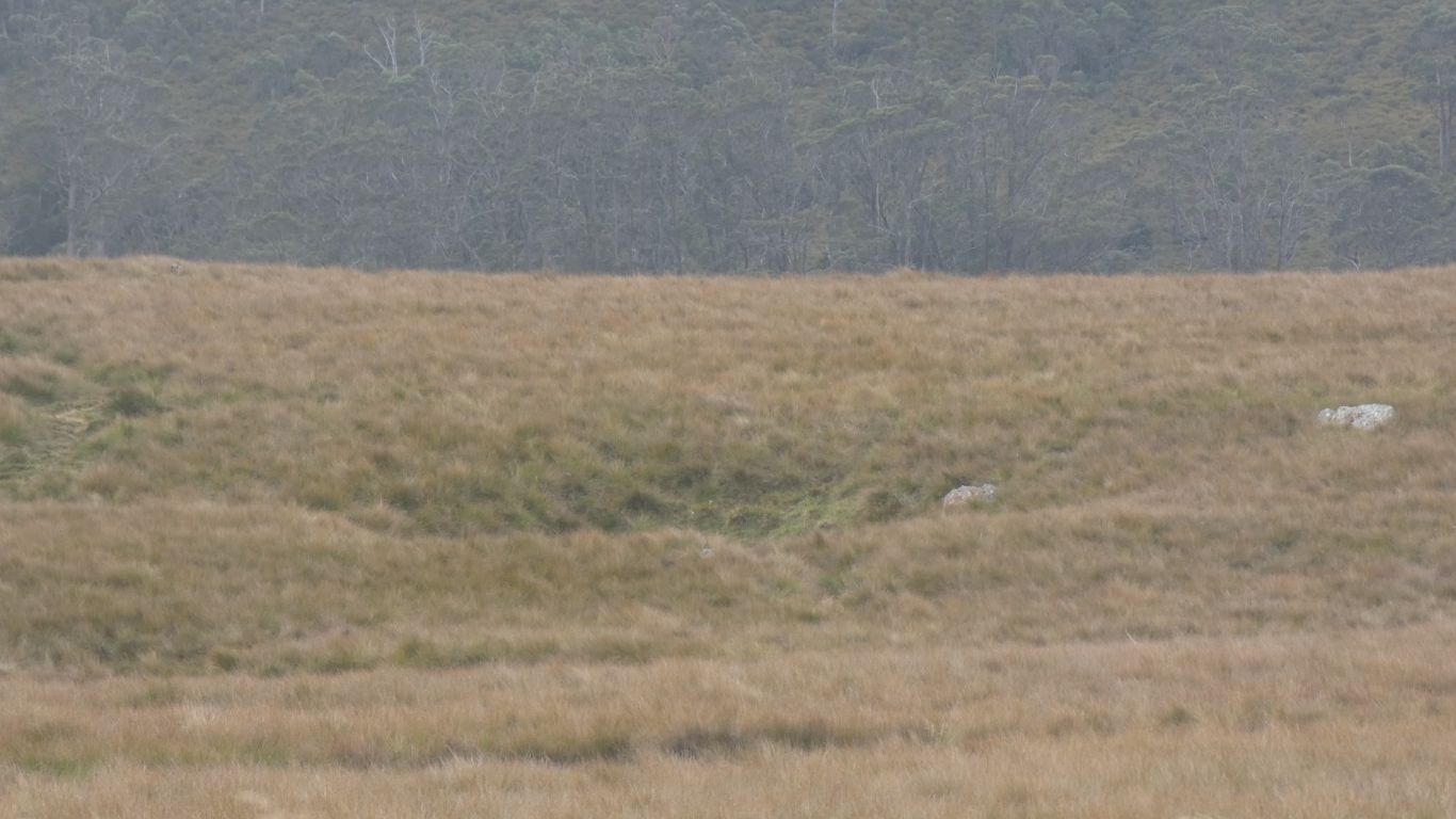
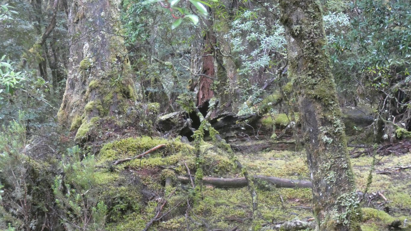
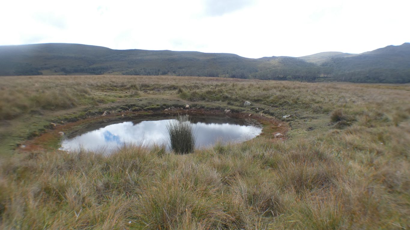
A larger sinkhole than I've previously observed - I walked past this twice before realising what it is.
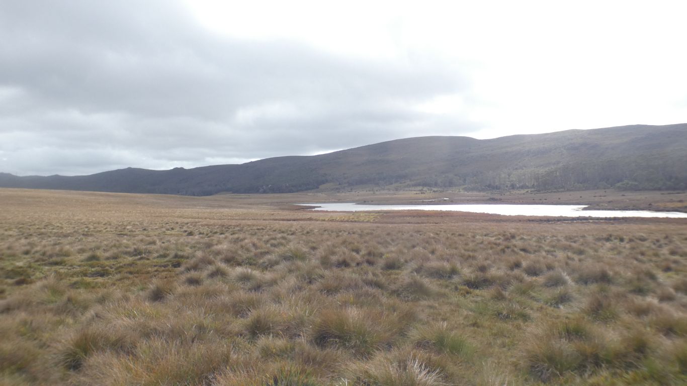
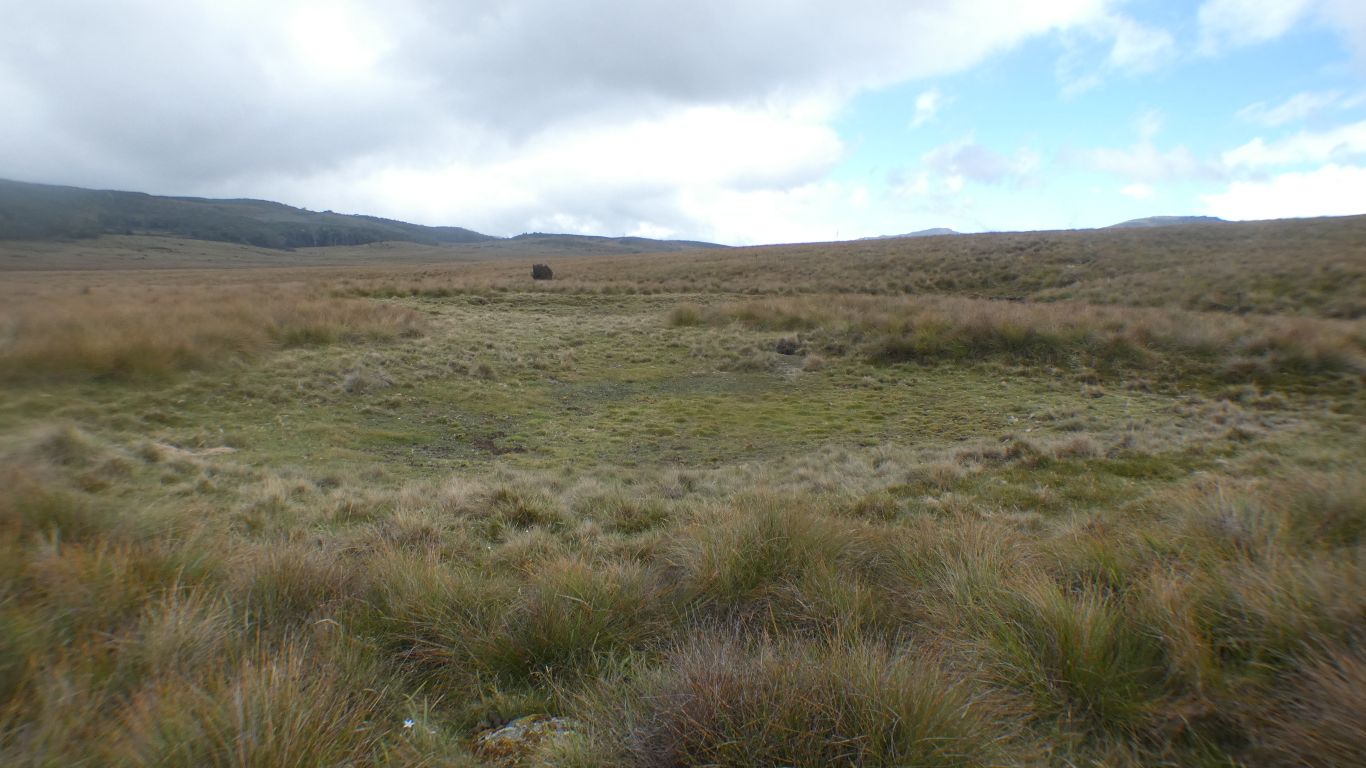
The basalt and moraine form a watershed. Water beyond our line of sight flows southwards. The Vale River, which flows into Mackintosh Creek, and thus into Lake Mackintosh, which we looked down on from Mt Farrell. 30km to our south west.
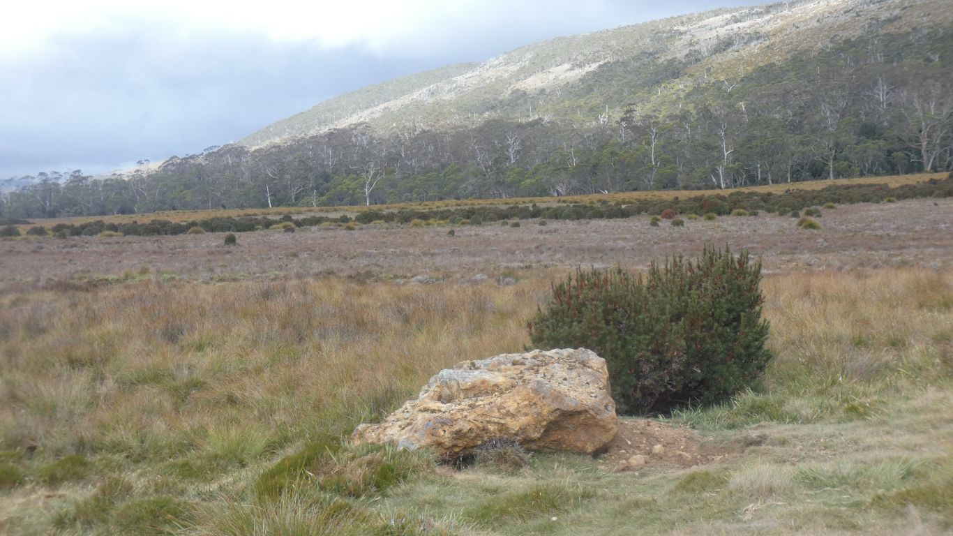
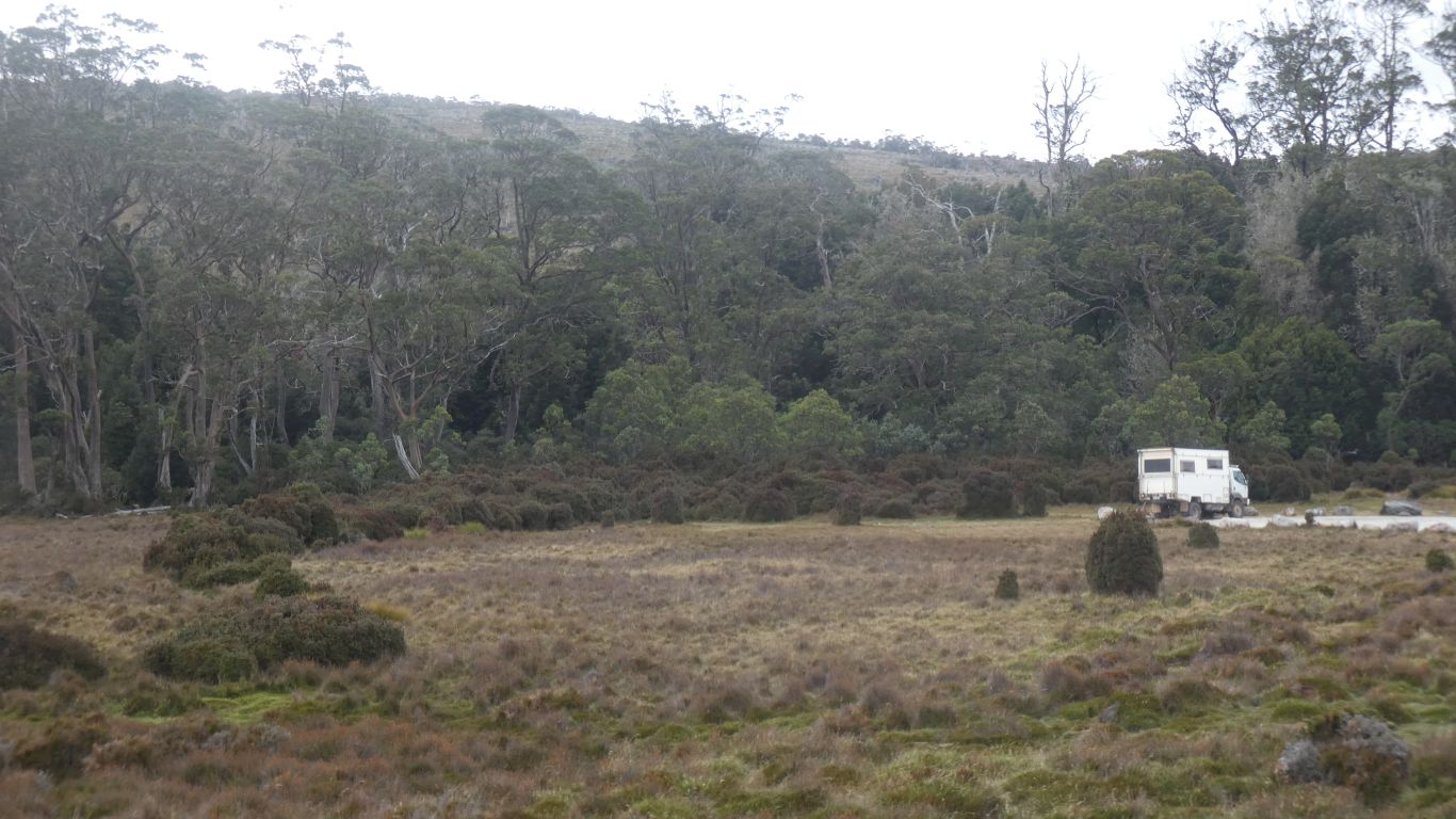
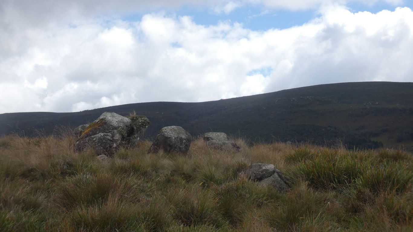
We suspect some of the erratics moved to form a boundary to the campsite.
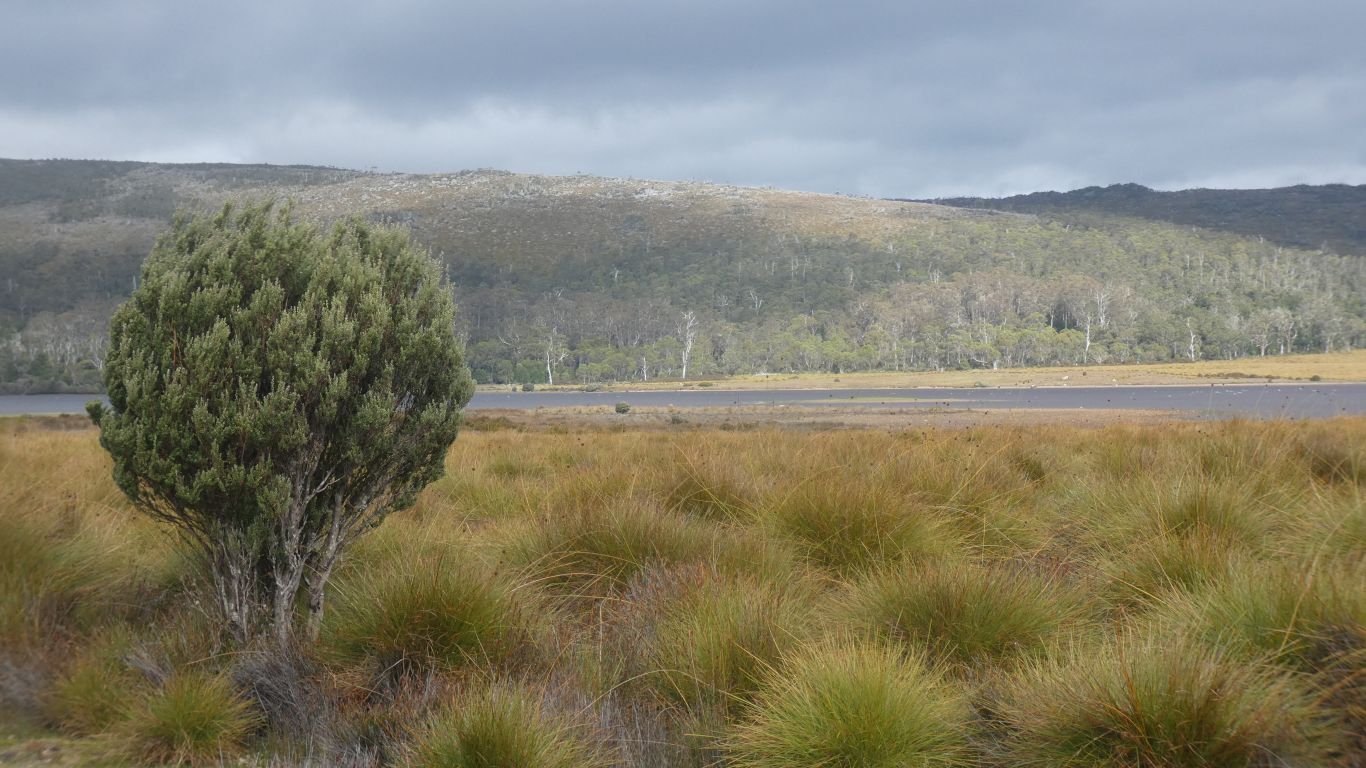
Interesting watching the wallabies and padmelons appear, and disappear. A pattern dependent on rain, mist and sunshine.
Since we realised we would have seen King Billy Pines at Winterbrook, our first real walk, we've had our minds set on the King Billy Walk at Cradle Mountain.
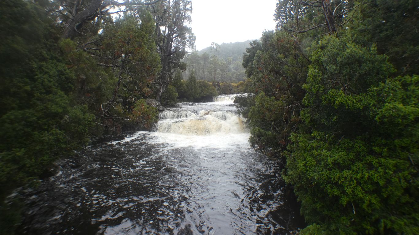
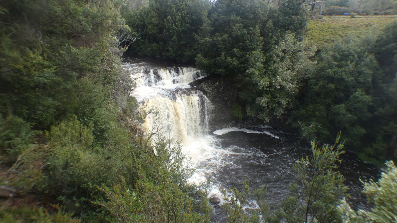
I think one set of Pencil Pine Falls, from the road bridge at the park entry. Near the Ranger Station.
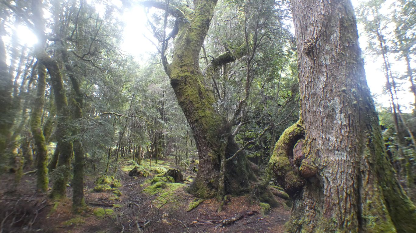
A very damp looking forest, though dry for us despite the rain.
The track is boardwalk all the way, about 40 minutes.
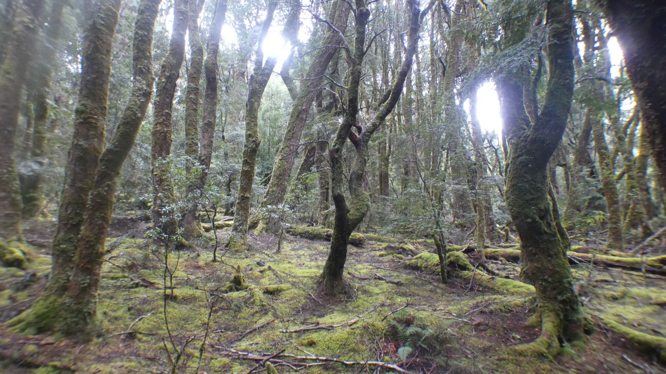
With lots of lichen.
The boat shed on Dove Lake was built with shingles cut from King Billy Pines. As was the first lodge at Cradle Mountain in early 1900's. Light and durable wood.
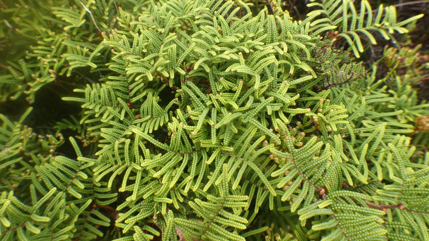
Now we know what King Billy Pines look like.
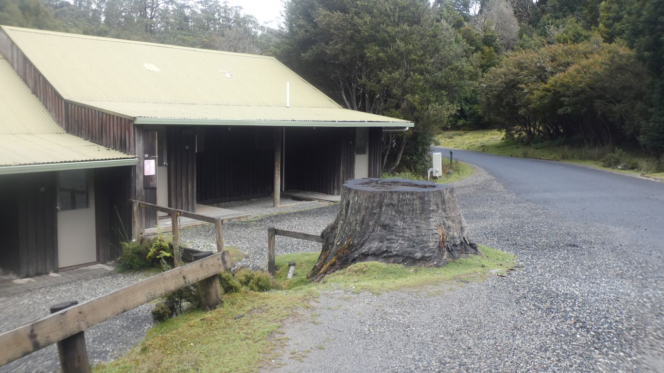
We walk back to the Ranger Station humming Joni Mitchell's paved paradise song - we can't remember the words, just the sentiment.
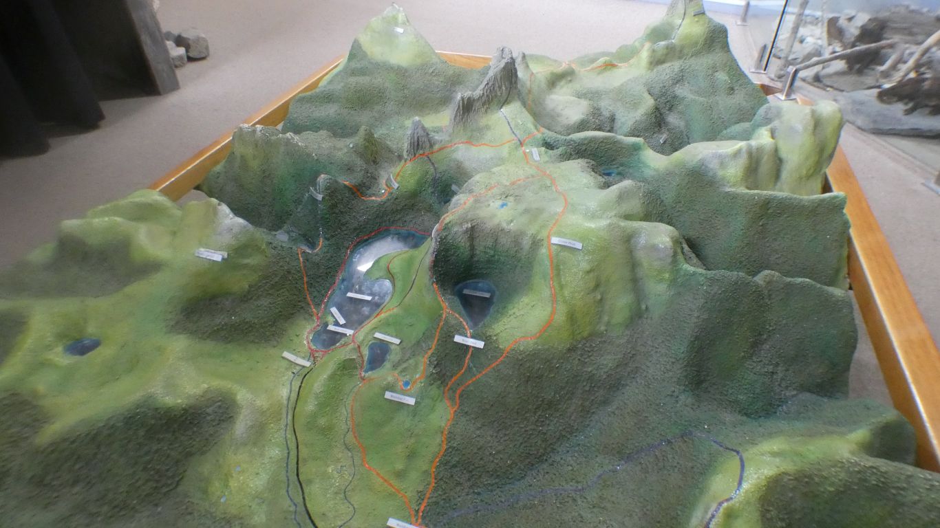
We've been kicking ourselves (metaphorically) for a couple of days that we didn't walk a few hundred meters along the Lake Rodway Track before climbing up to the Face Track. We may have caught a glimpse of the back of the mountain.
This happens to us lots, we are used to it. We can't be all knowing and all seeing. Resarch seems to be an iterative process which includes seeing what is really there. Getting it right first time simply chance.
We learn of Pencil Pines that don't recover from fire.
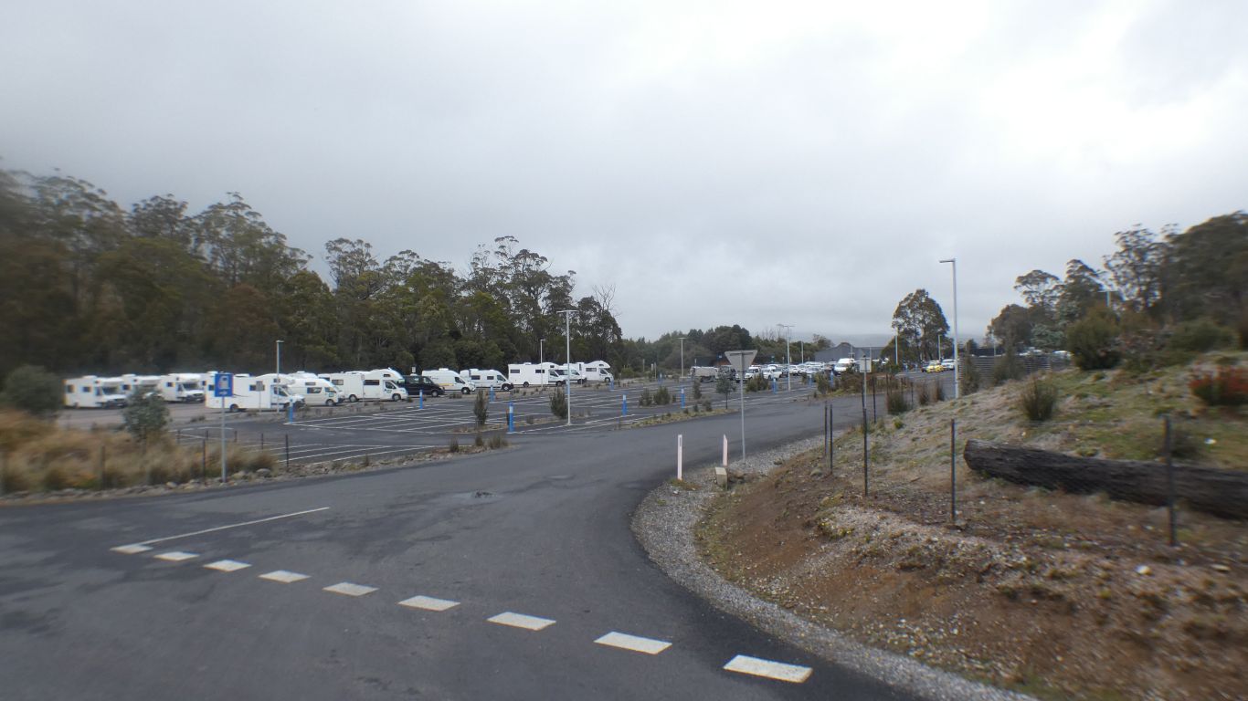
In contrast to a couple of days ago, when the weather was fine, and the car park near full.
I can imagine it on a cloudless sunny day ... I believe Tasmania has such days.
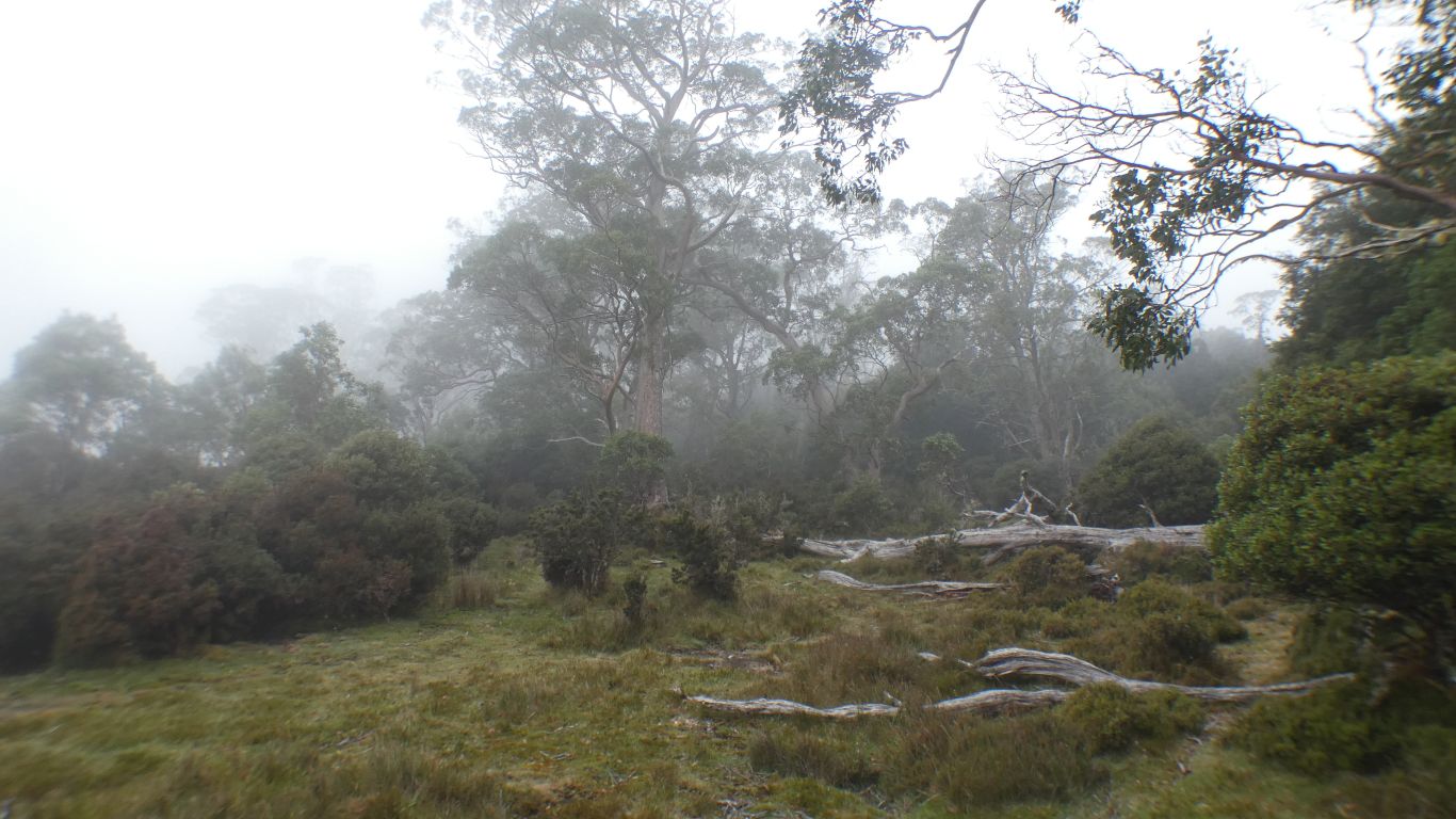
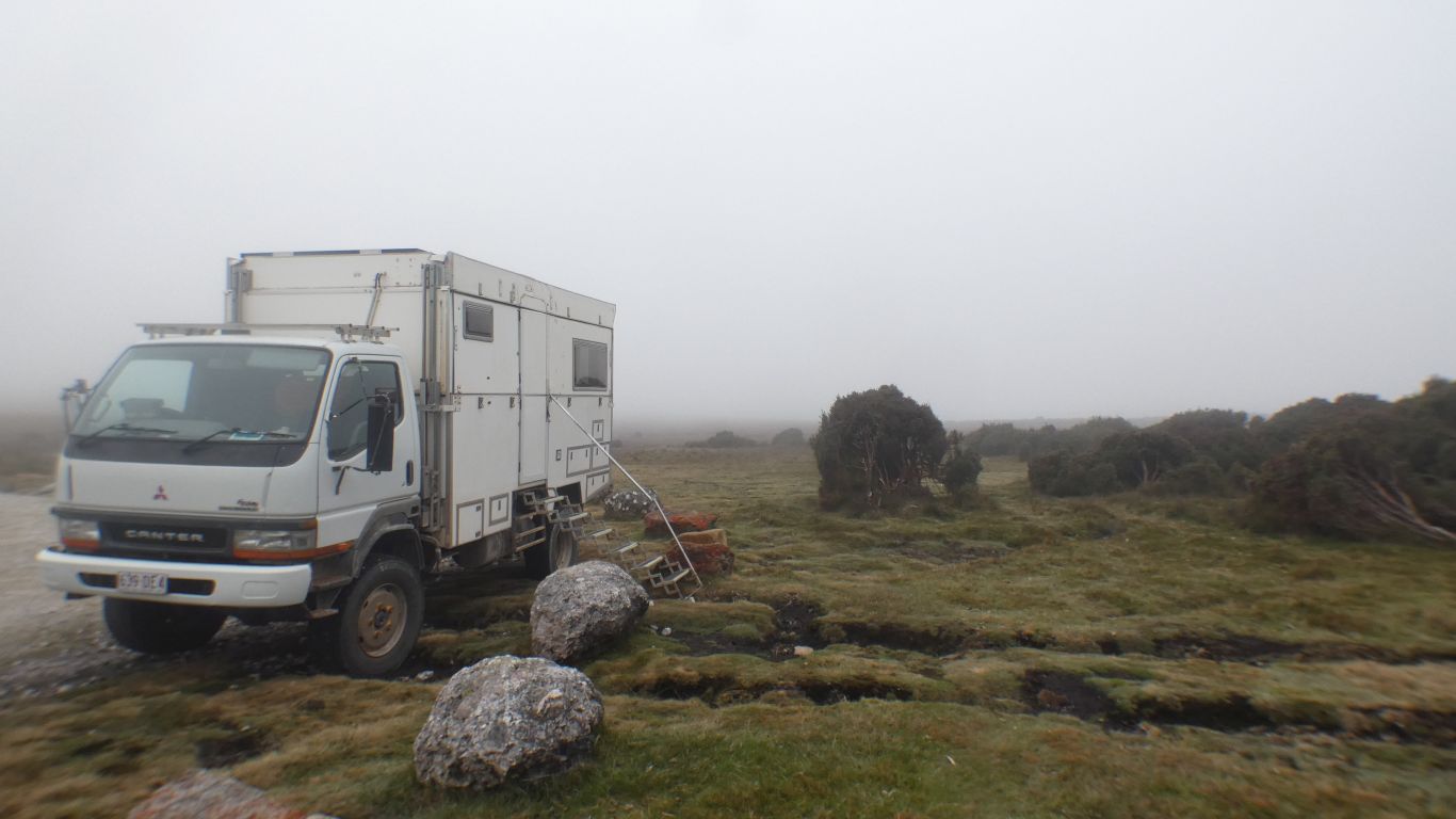
Misty again. Solar has generally been sufficient to replenish what we use. We are becoming used to "slow solar" in Tasmania, as different to "fast solar" that we have from clear blue desert skies with higher sun angles on the mainland.
Above the mist is high cloud.
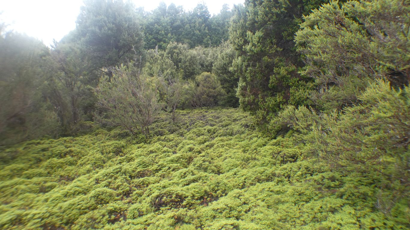
An expedition, at least 100m, into the eucalypt forest near the camp.
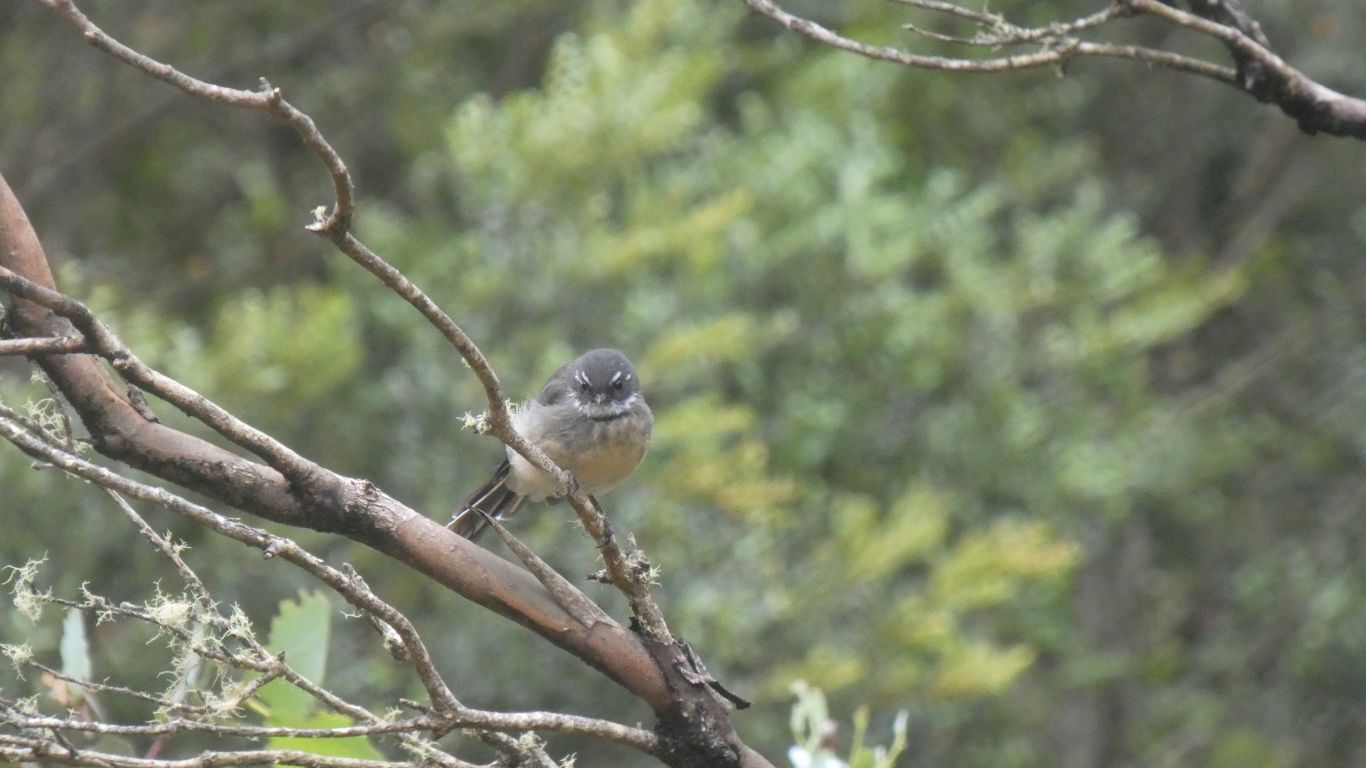
A grey fantail.
There were several, that really didn't want to be pictured.
Also wrens.
Slowly associating birds with vegetation and forest type.
And those mobile erratics.
We'll have a rest day. And a possible walk to the top of the moraine.
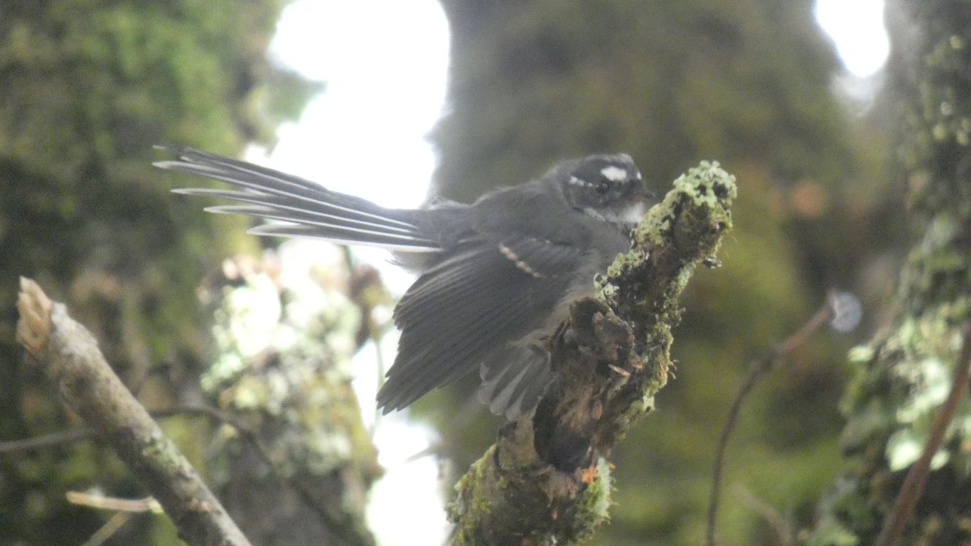
But first more fantail watching.
A very vague pic of what may have been a green rosella. The sound parrot like!
Is this an erratic, or a limestone outcrop?
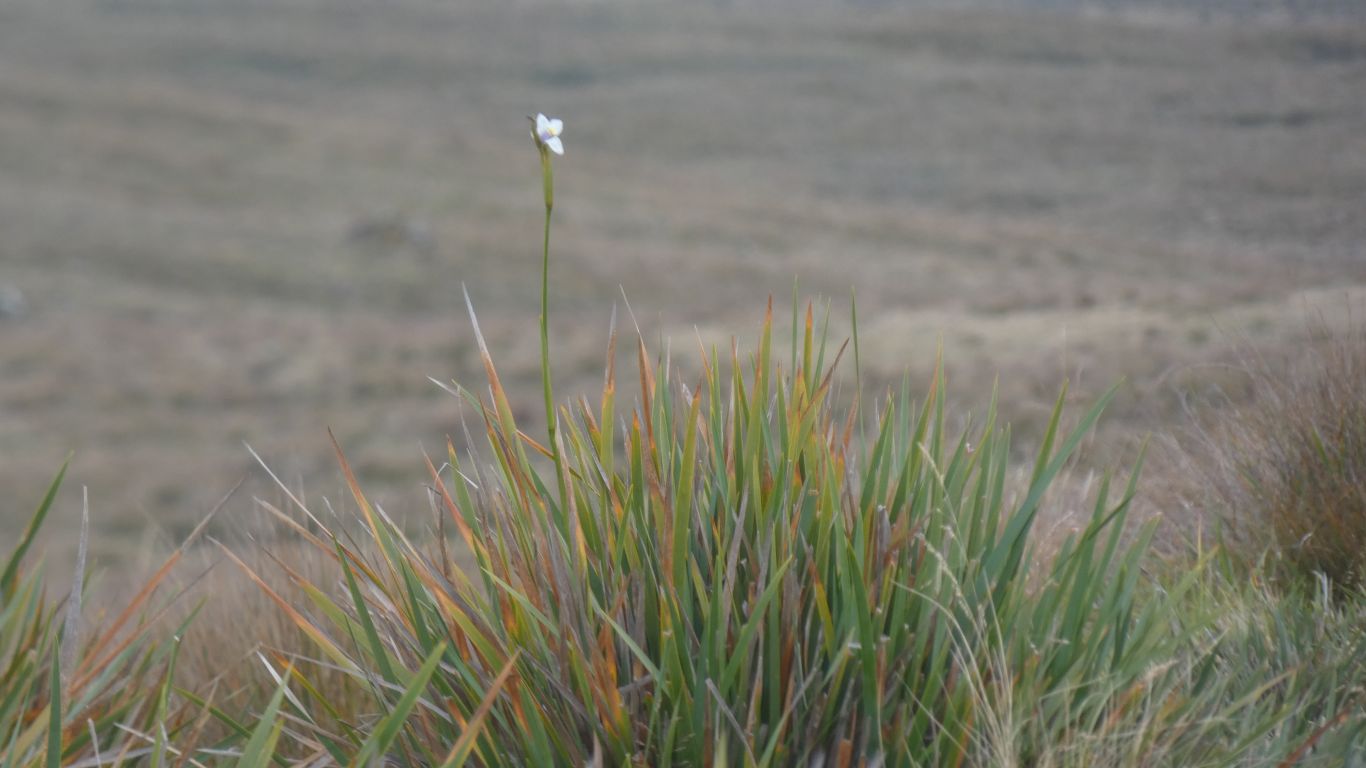
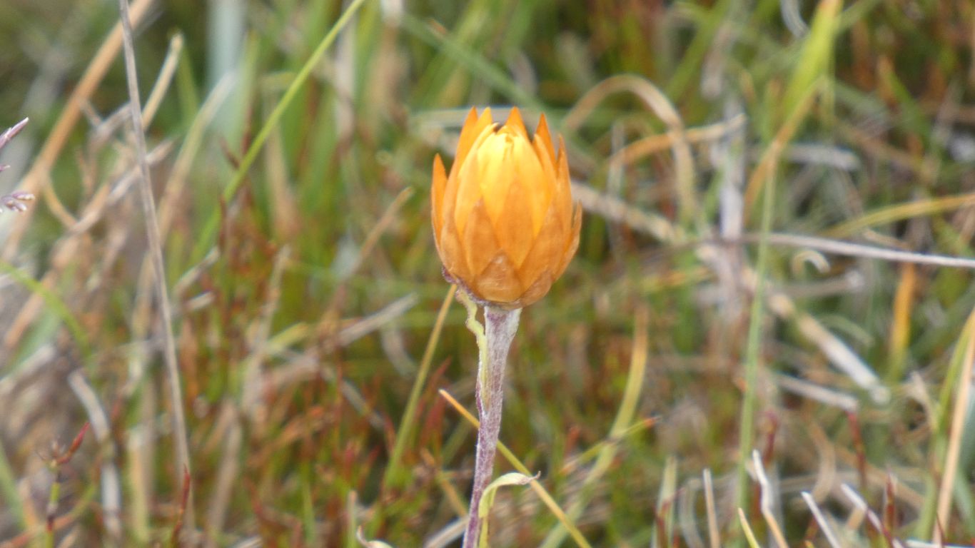
Tracing flower stems to their source really didn't reveal much for us. We simply don't know enough.
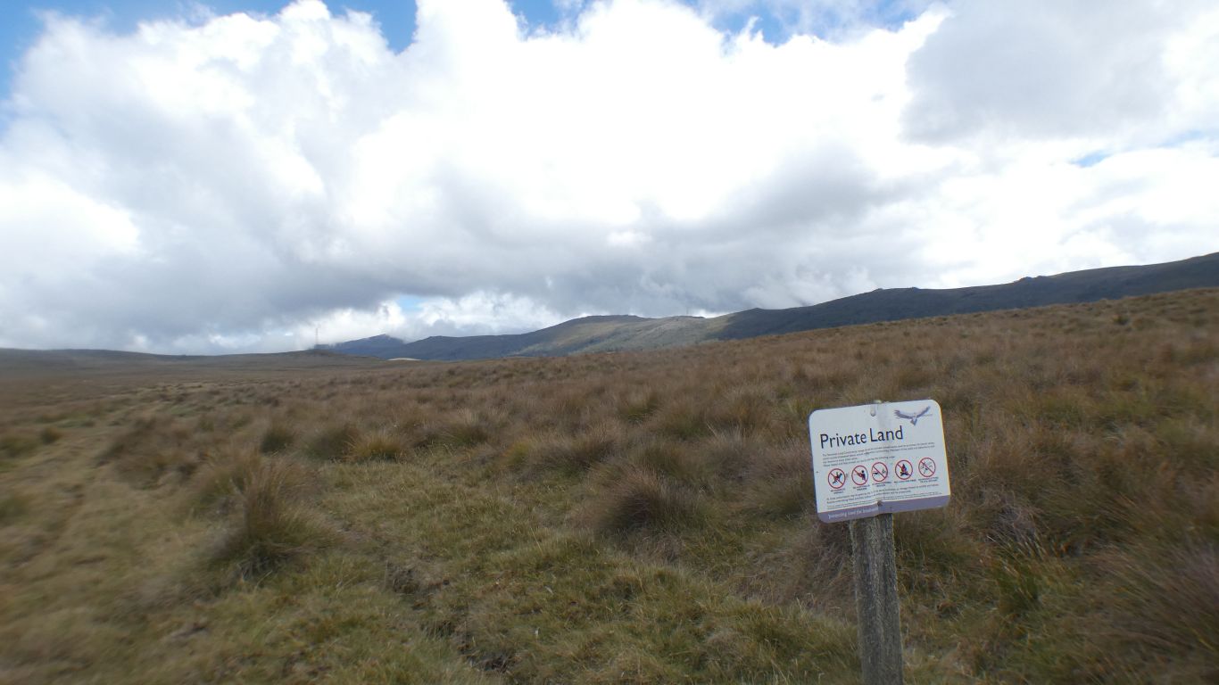
First glance it said "Private Land". The fine print said "Welcome".
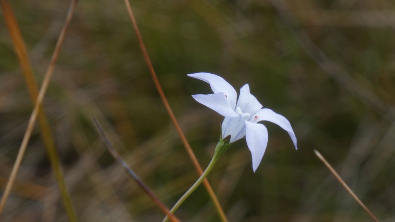
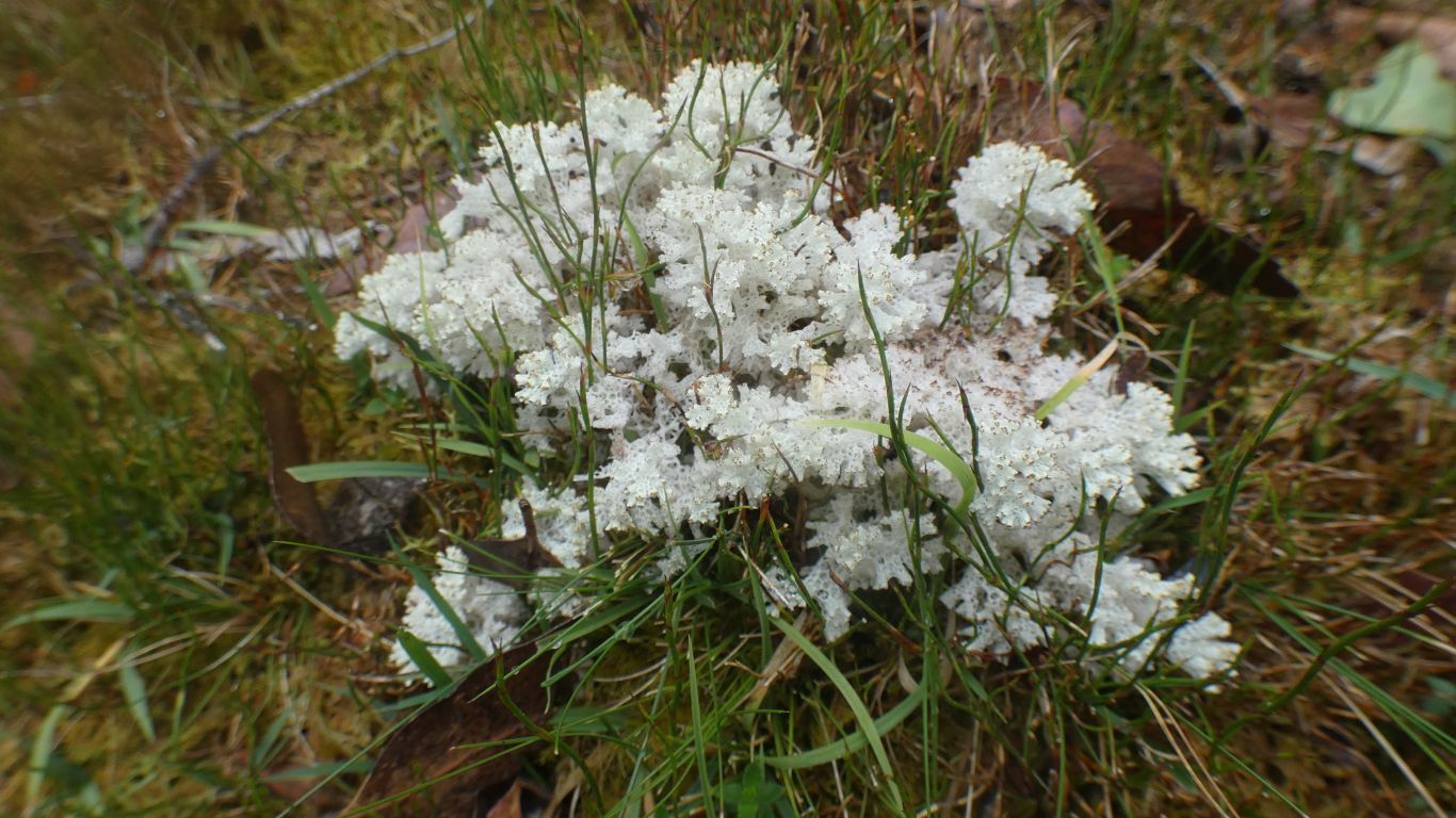
When we looked closely, the red dots look like spiders. Certainly insects.
About 2.5km walked. Just enough for a rest day.
Long have we tried to slow down our travels. It seems Tasmania is providing something that helps. The Vale continually changing. As interesting as the waves of Trial Harbour.