
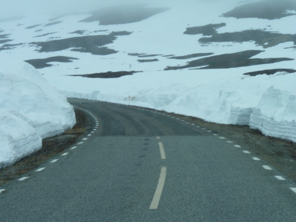
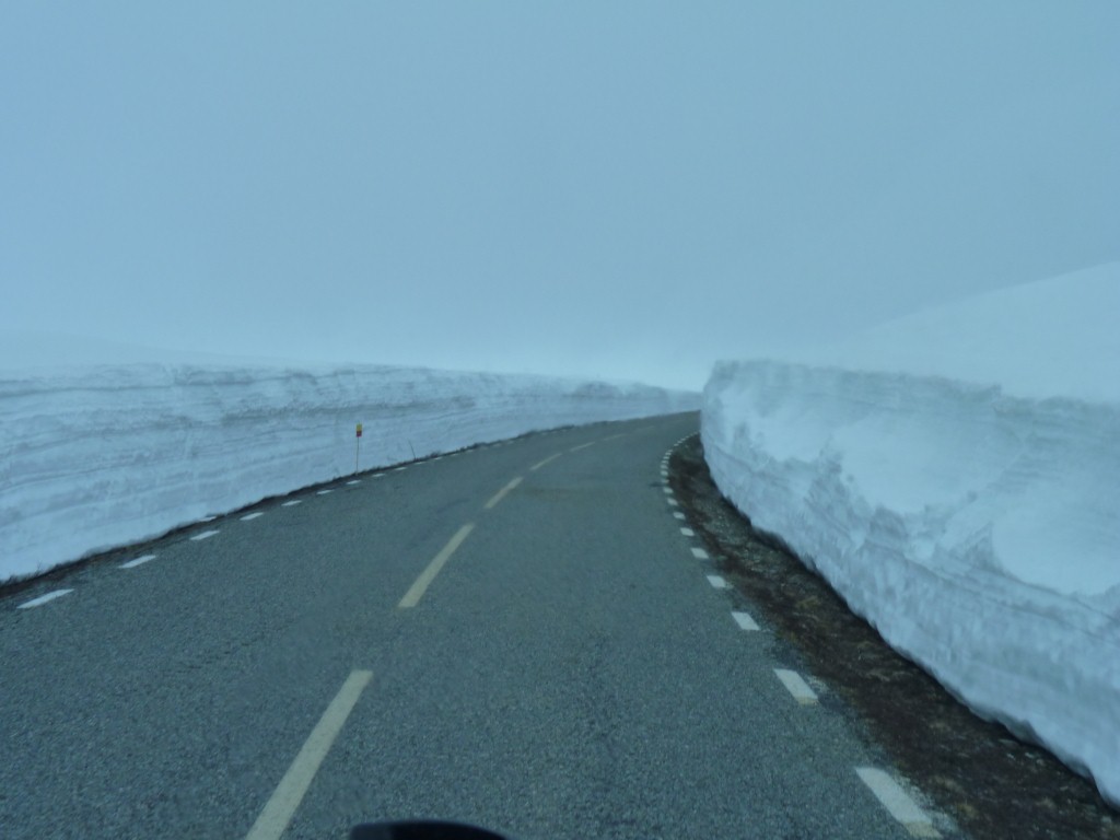
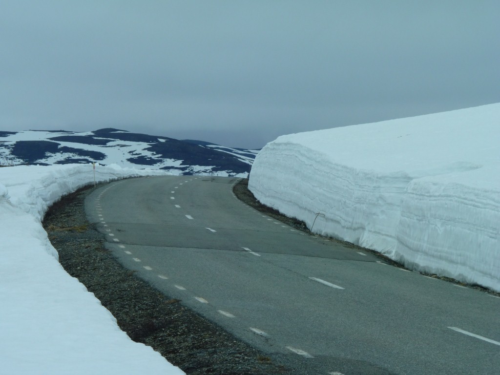
This bump was marked. Most of them aren't.
We are getting used to reading the roads, but feeling every bump.
The in between bits are easy.
We know the road has only been open a couple of days. But we still have quite a few meters to climb, and lots of km to drive.
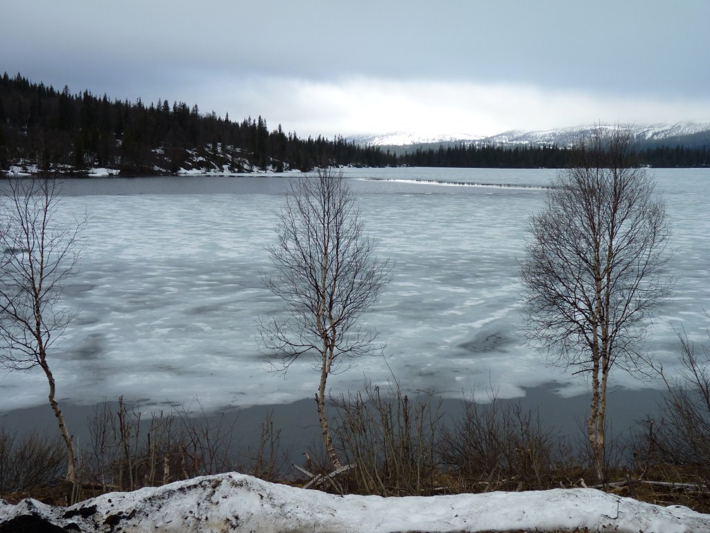
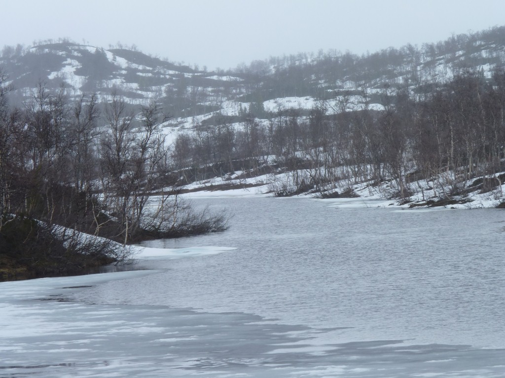
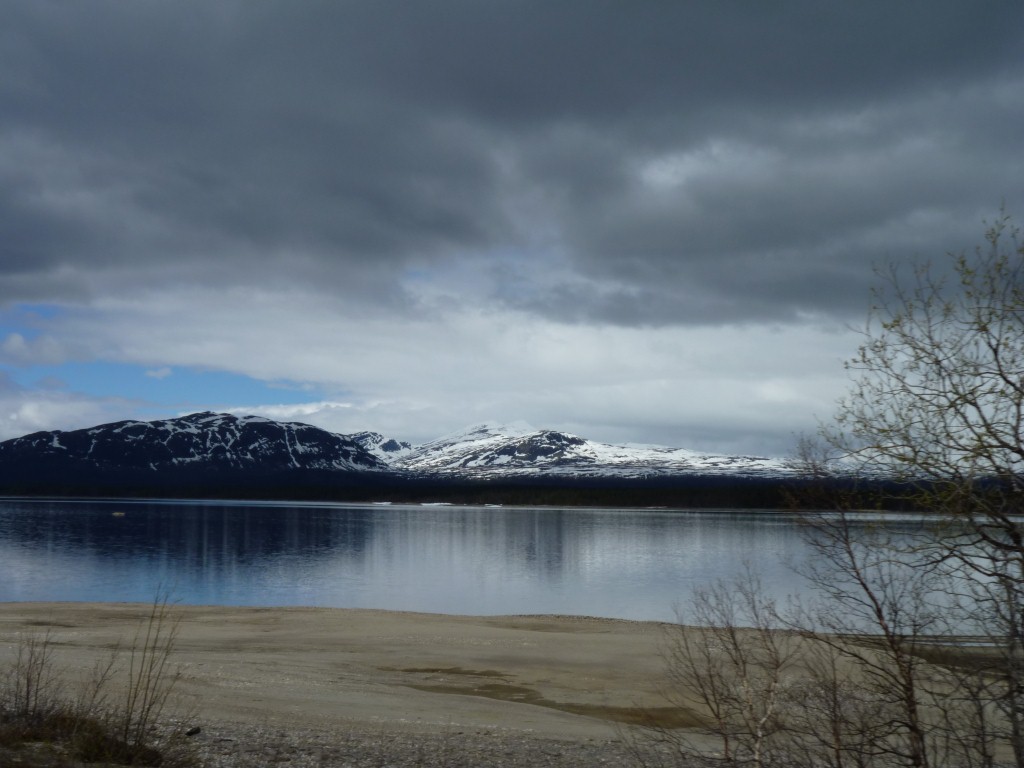
Yup. A partially frozen lake, or a partly melted one, depending on one's perspective.
Not in a good condition for driving the sno-scooter across though.
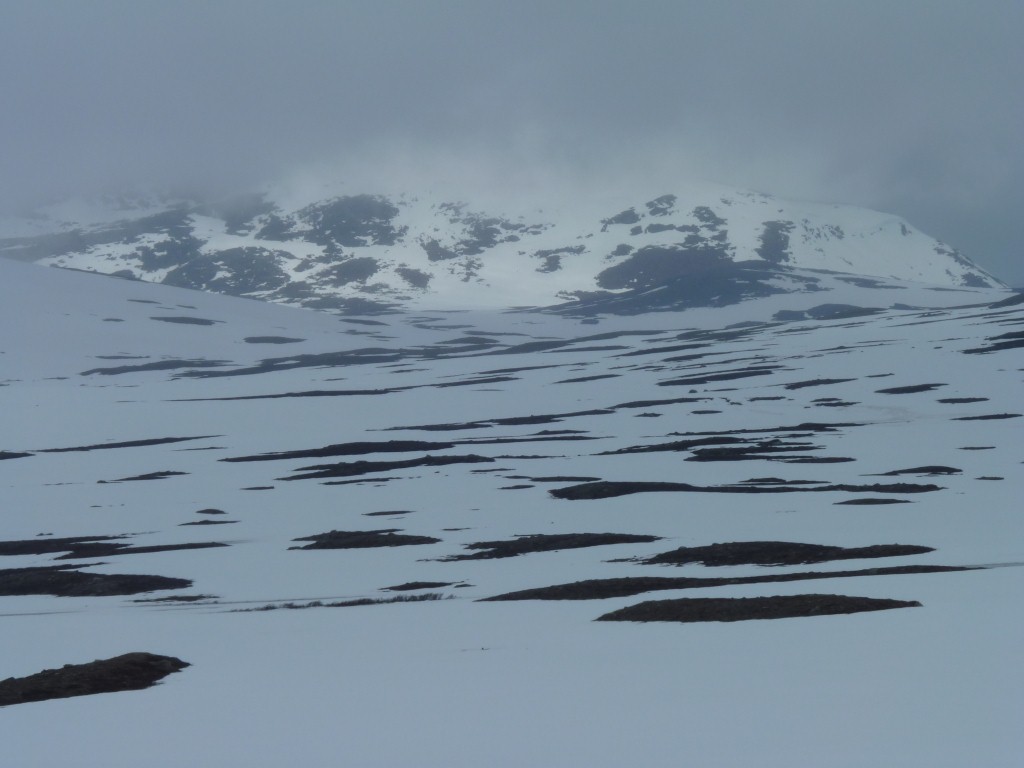
Just thawing.
We stopped for a walk. A small patch of limestone in among the granite.
Soft snow was a bit heavy going.
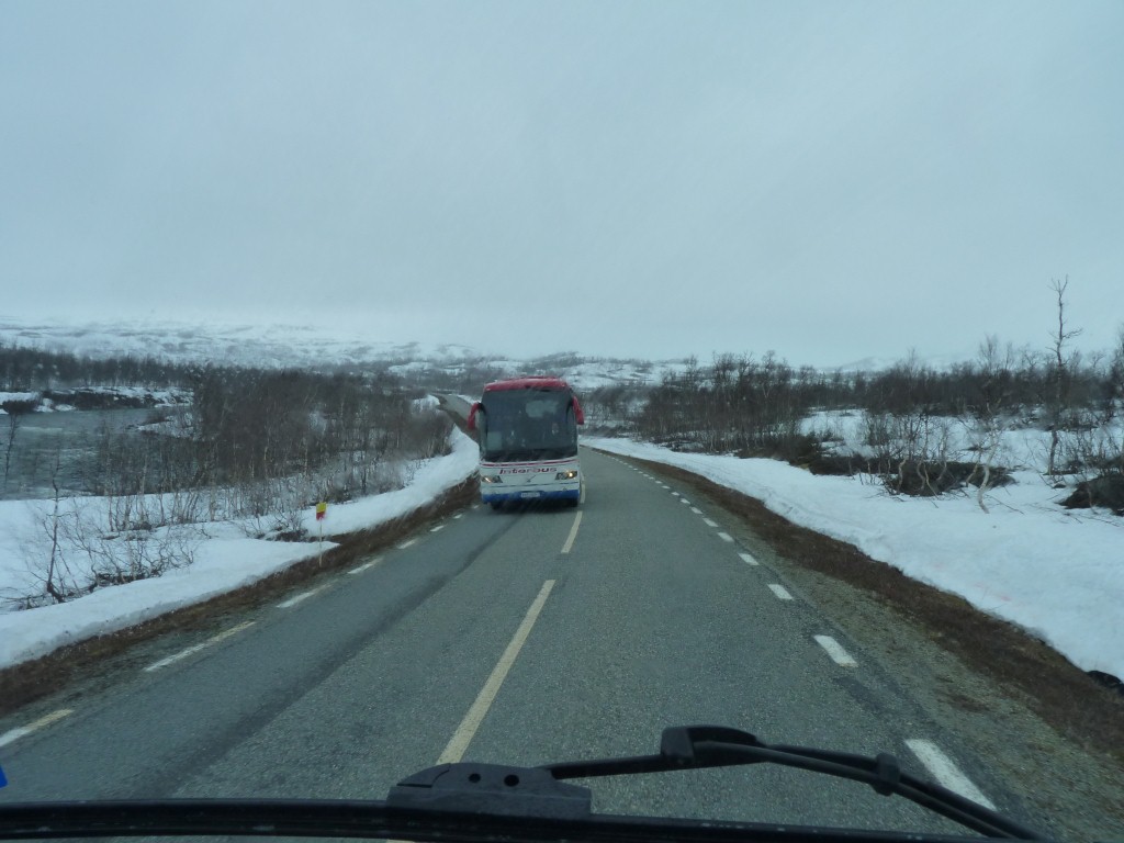
Then again. We are headed over the highest road in Sweden, we read about it in a brochure, so I guess we should expect (other) tourists!
Perhaps the people in the bus are more the low volume high value tourists the economists like rather than independent.
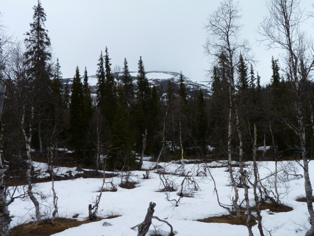
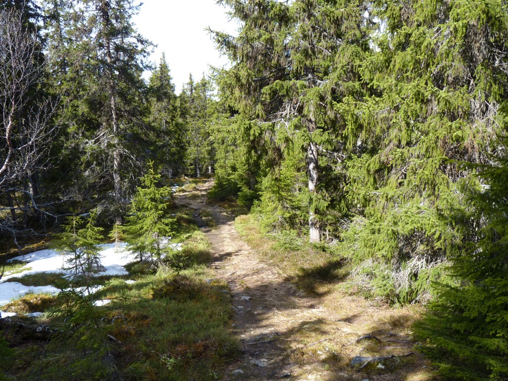
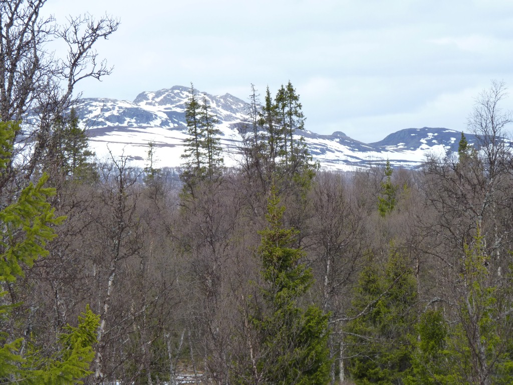
The trees are thinning out, shorter, and don't have leaves yet.
And its not even Christmas.
That little sign says on the left says "entry forbidden, closed from 6th June to 30th June" to protect the birds.
Its a bit more than a meter high.
The signs are repeated every 100m or so.
Its described as a temporary nature reserve.

No sign of the sno-scooter rider.
Just the sort of place to build a snow cave maybe.
Its not mentioned in any of the tourist brochures but is very visible on the satellite photos. The rectangular looking road layout, geometric shapes, and the colouration.
Stekenjokk was a mine. Copper, lead, zinc and a bit of gold and silver. It was closed by Boliden somewhere around 1988 (?).
The mine is underground. The tailings dam has had some remedial work done.
The mine was operated by Boliden. A largish mining company in Sweden. A little bit of history - I used to help blend "Boliden Pyrites" with Kiruna Iron Ore and a few other ores in an Iron making plant.
The exploration licence for this area is now with another mining company having been onsold a couple of times.
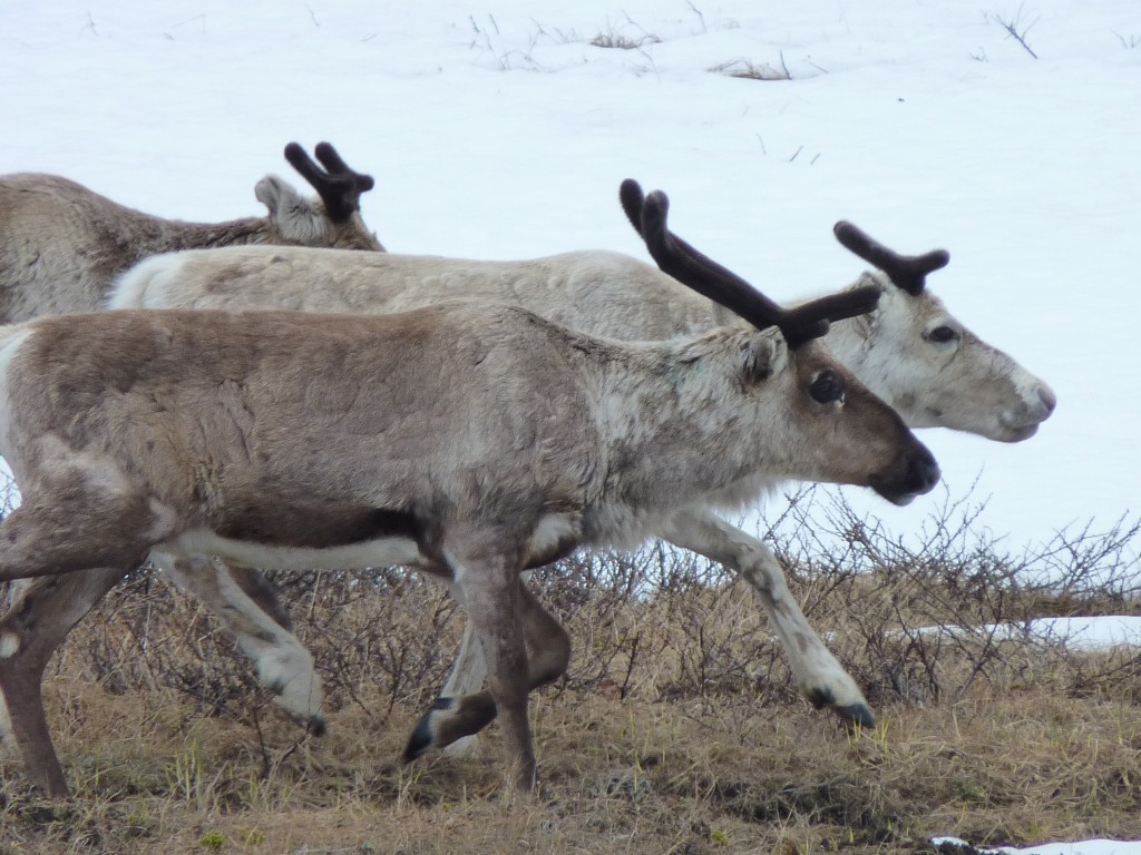
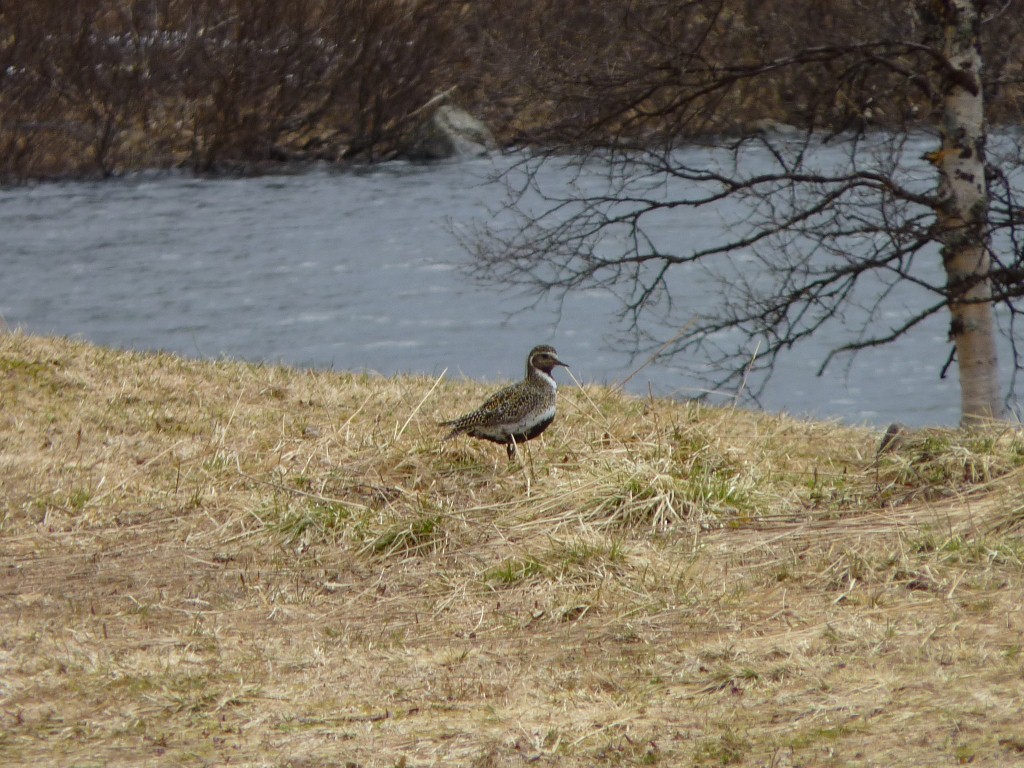
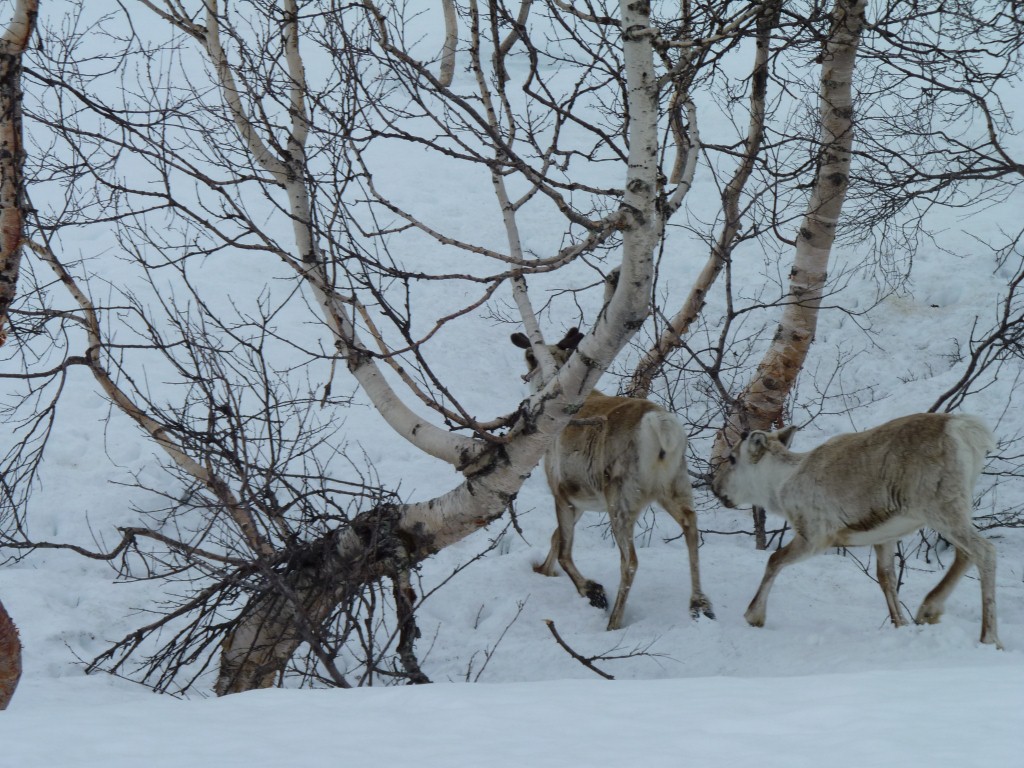
If we were in Australia we'd be worried about kangaroos.
We haven't quite seen enough to work out how they behave around traffic.
Do they, like kangaroos, randomly try to cross the road when its obvious a hard metal object traveling at speed is not something to argue with, or do they simply let us past like the cattle of Asia.
Please post your answers in a self addressed envelope to Santa Claus.
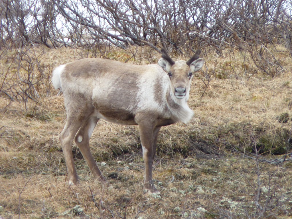
We don't know what they eat apart from lichen. We doubt carrots would be much use.
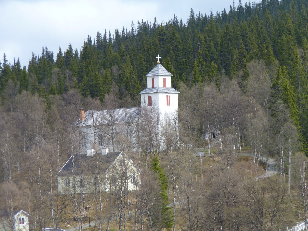
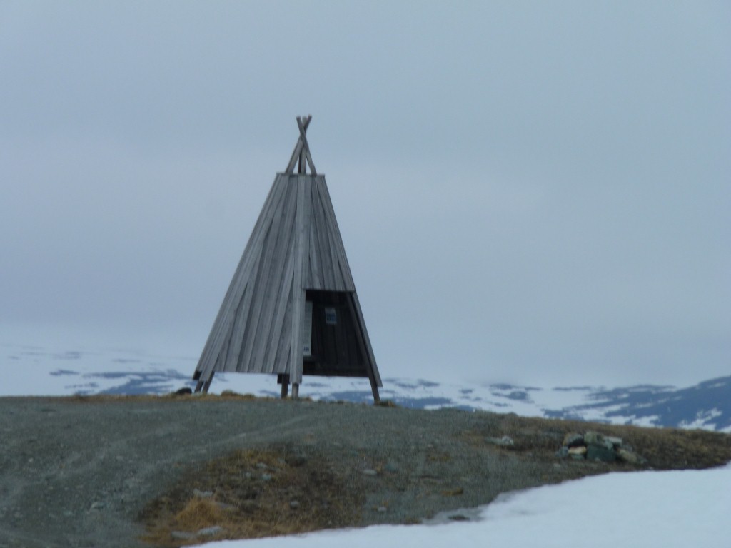
Its a church village. Set up in the 18th or 19th century the church villages provided centers for the Saami to gather. They provide temporary accommodation for the reindeer herders.
We are a bit early. There's a festival in "mid June" but no notices to help us.
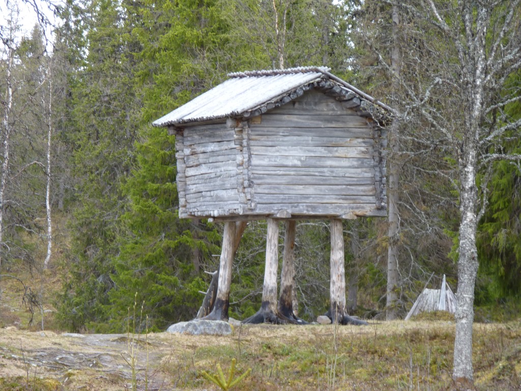
This reminded us of War of the Worlds and Star Wars.
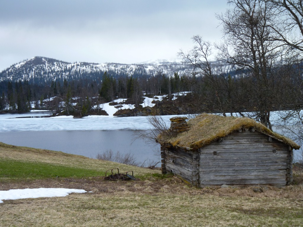
Nobody around, we had a close look at the "teepees" as we couldn't stop calling them.
Under the split log and bark outer was a layer of roofing felt. Perhaps the originals were a bit leaky in the rain.

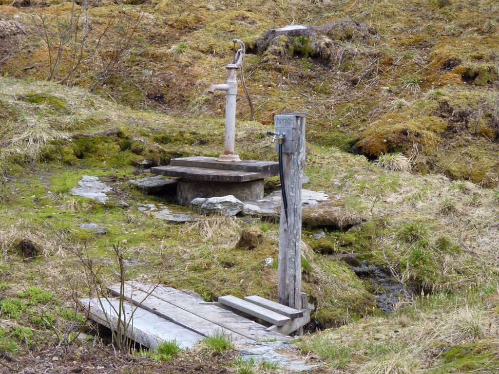
This person has just done the same thing so we feel happier.
As long as its not for watering the garden!
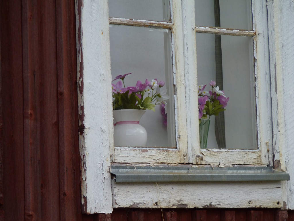
But most houses have flowers of some sort in the windows.
We suspect some were artificial, but what a nice custom.
Except for us.
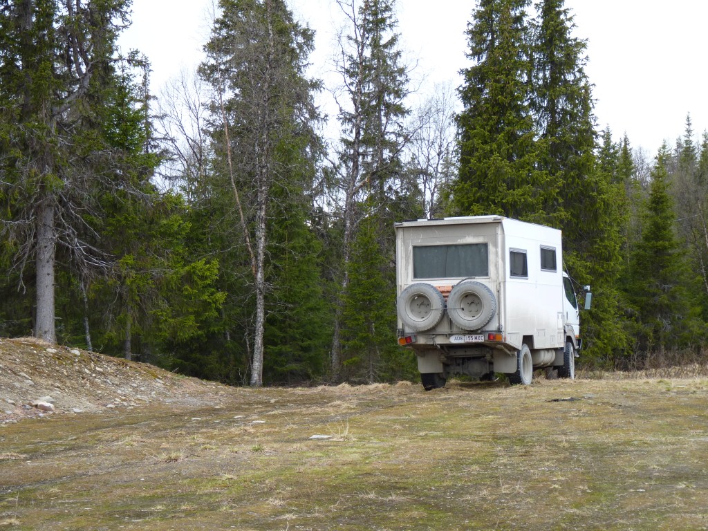
There were a few cars around and one motorhome arrived, took one look at us, and drove off.
Mostly firs.
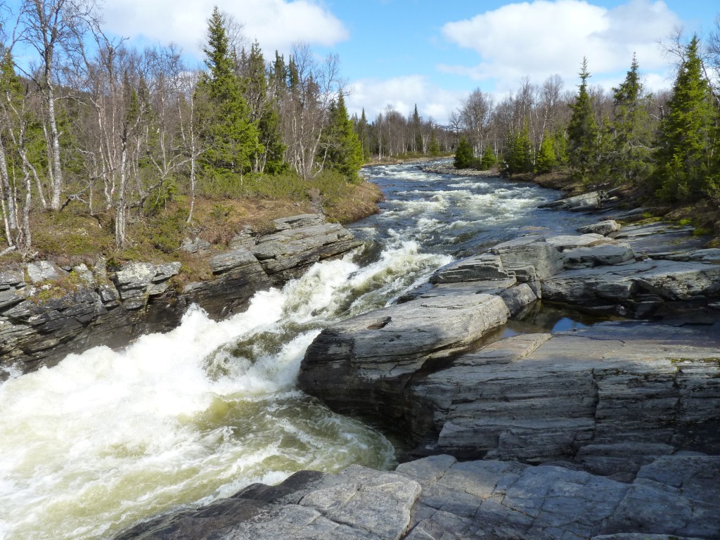
There was a bridge across this narrow part of the river.
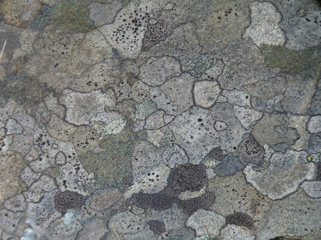
A bit like looking down a microscope at a metallurgical specimen.
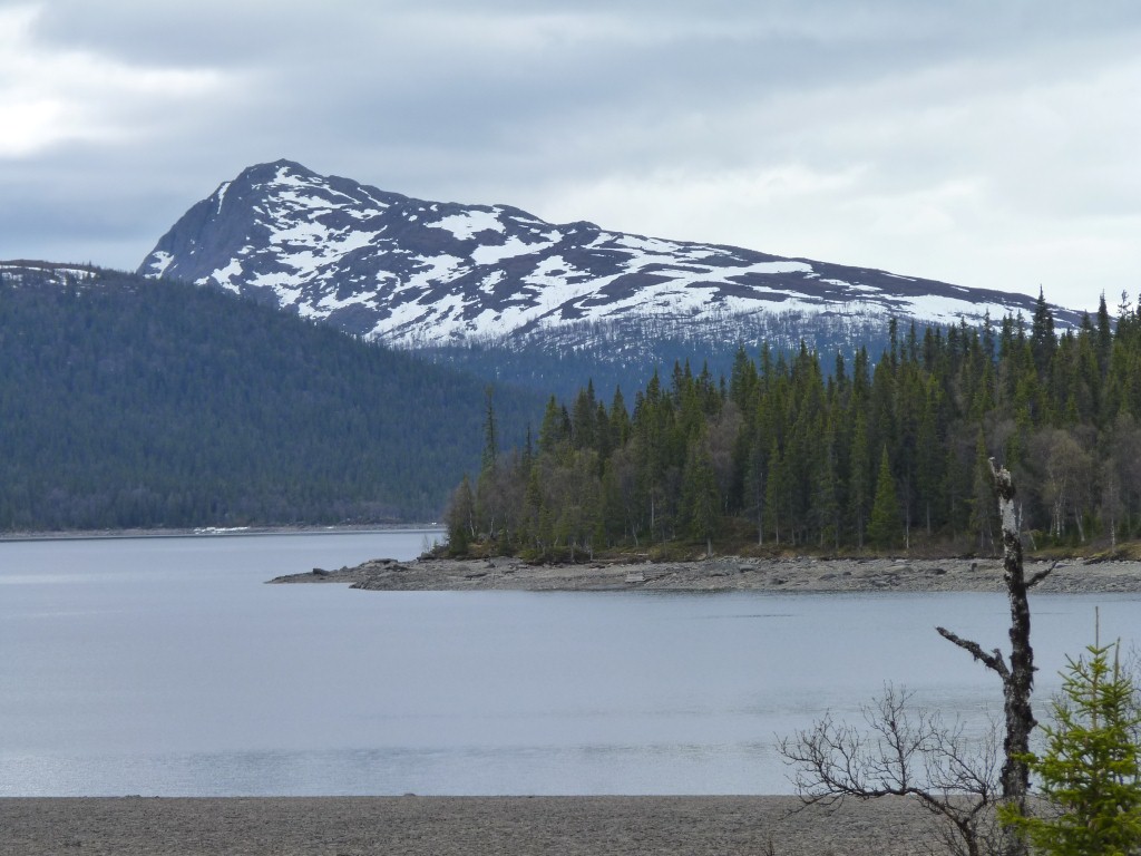
Unfortunately the lakes and rivers run north west to south east.
We are now headed east so we can cross a bridge and head north.
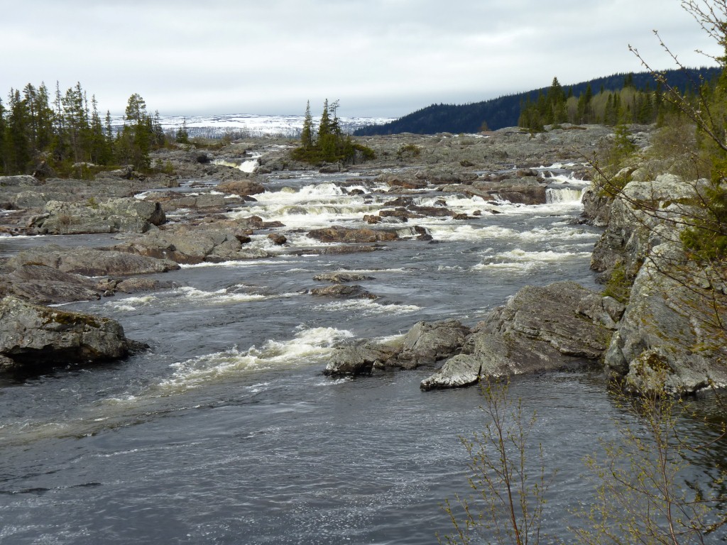
The rock has been tilted here, it dips going away from us, to the west, rising behind us to the east.
Makes for interesting rivers.