A rest day.
Well, almost.
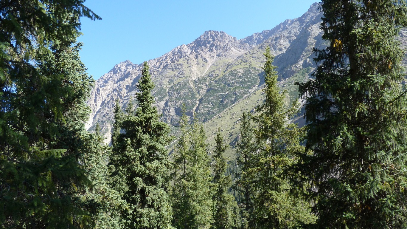
We climbed up the side of the valley.
The track got a bit vague, and we didn't know what we were looking for.
Later our Kyrgiz neighbour from "tourist stop" told us it led to a lake.
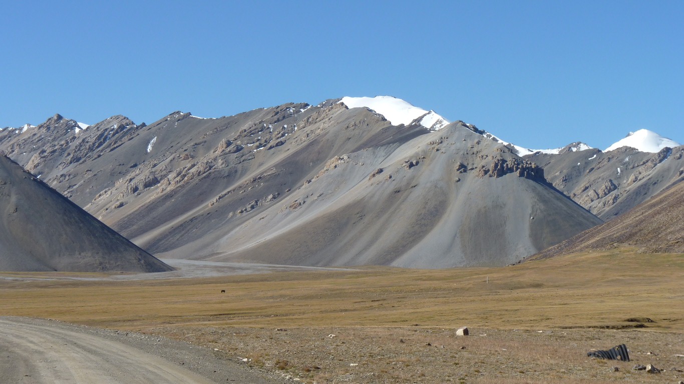
Over Suck Pass.
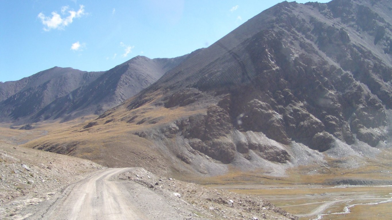
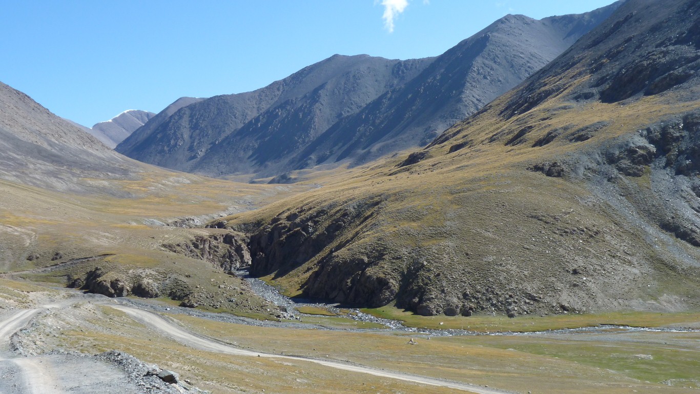
We followed the mine road up to Barskoon Pass again. It crosses the Terseky-Ala Too which forms the southern edge of Issyk Kol.
The road to Suck Pass leads through that valley to the left.
Through the east-west Yetim Bel Range.
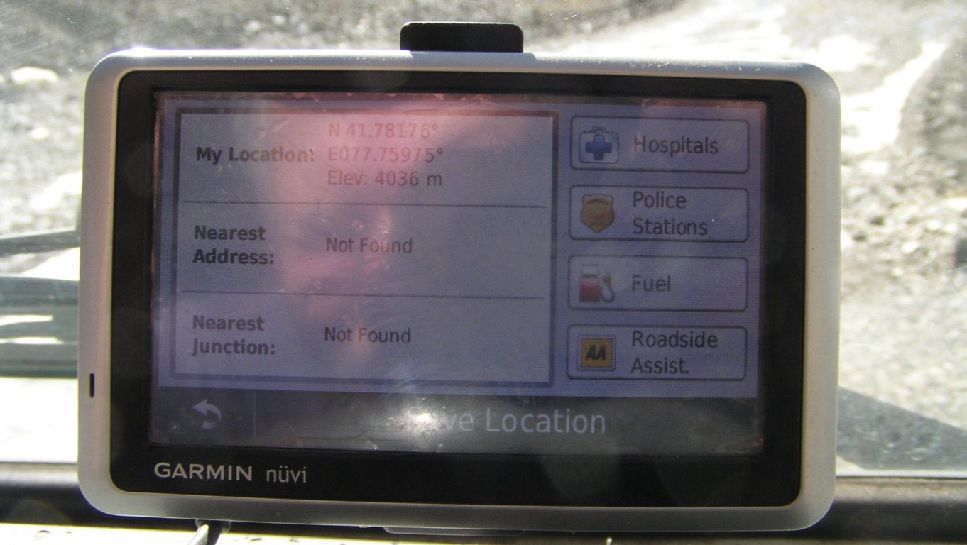
4,036m (13,240 ft).
In China / Tibet we'll reach around 5,000m.
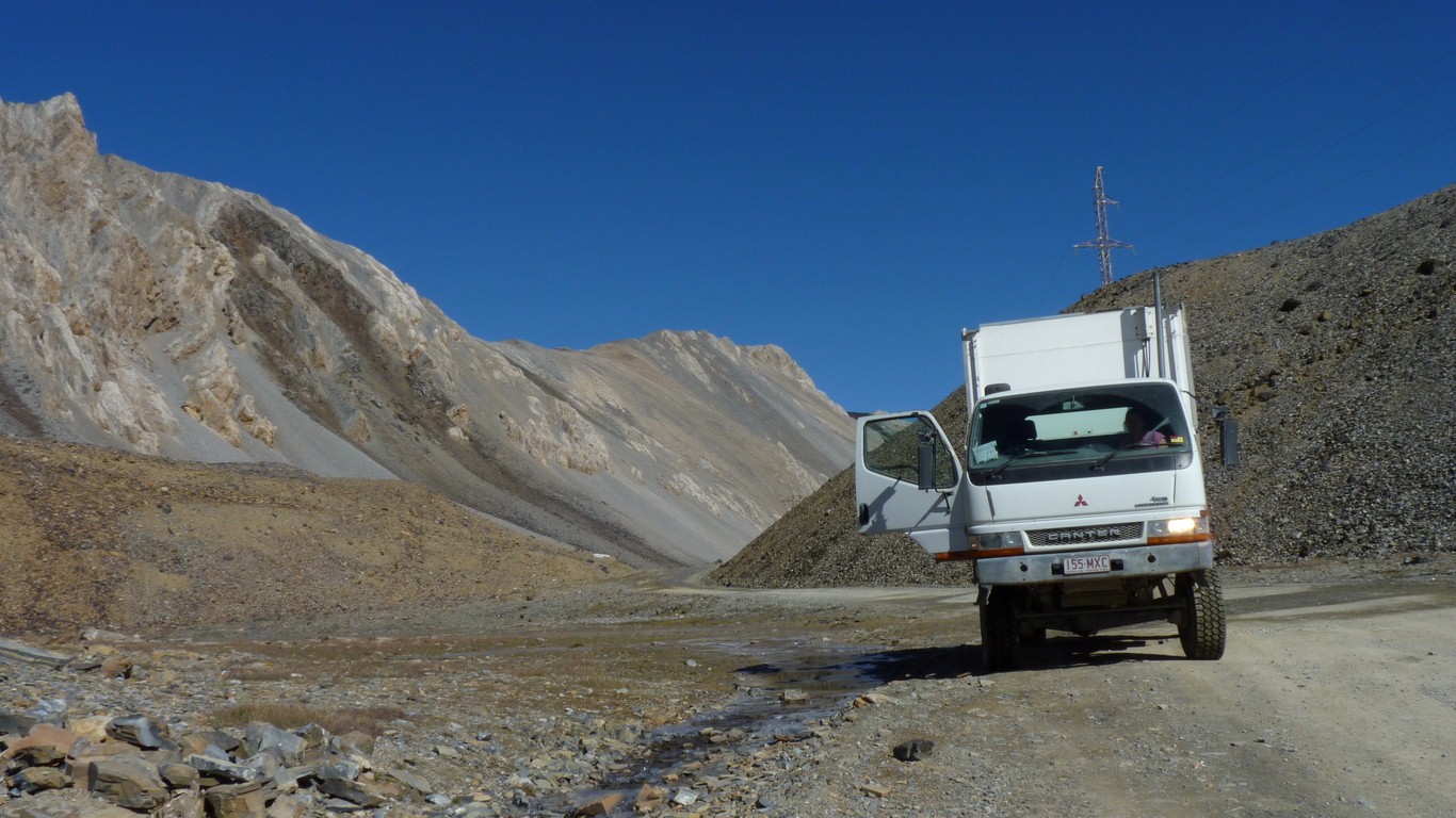
The red engine warning light came on again. I'm reasonably convinced its a combination of fuel and altitude.
Just a tad disconcerting to not really know.
The gps failed to find any Roadside Assist! It doesn't even know about the track.
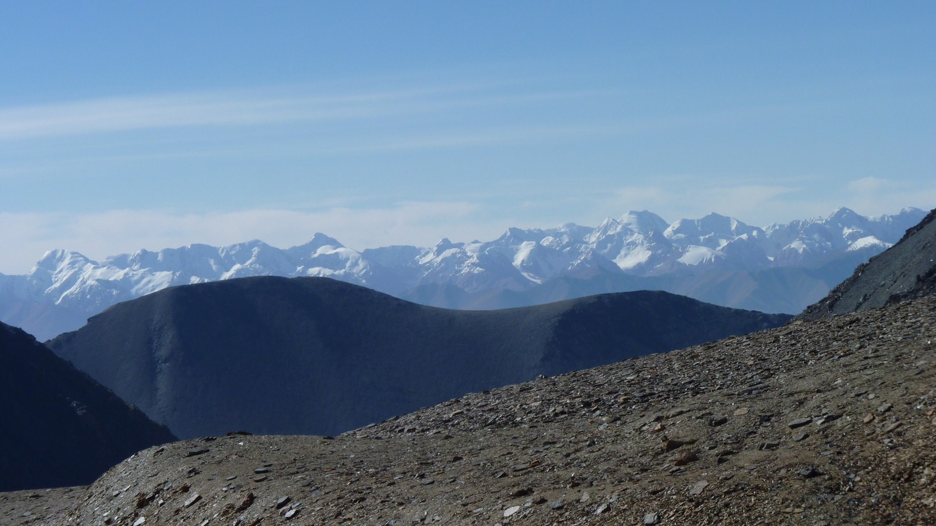
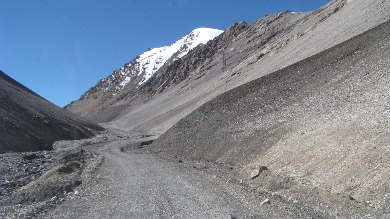
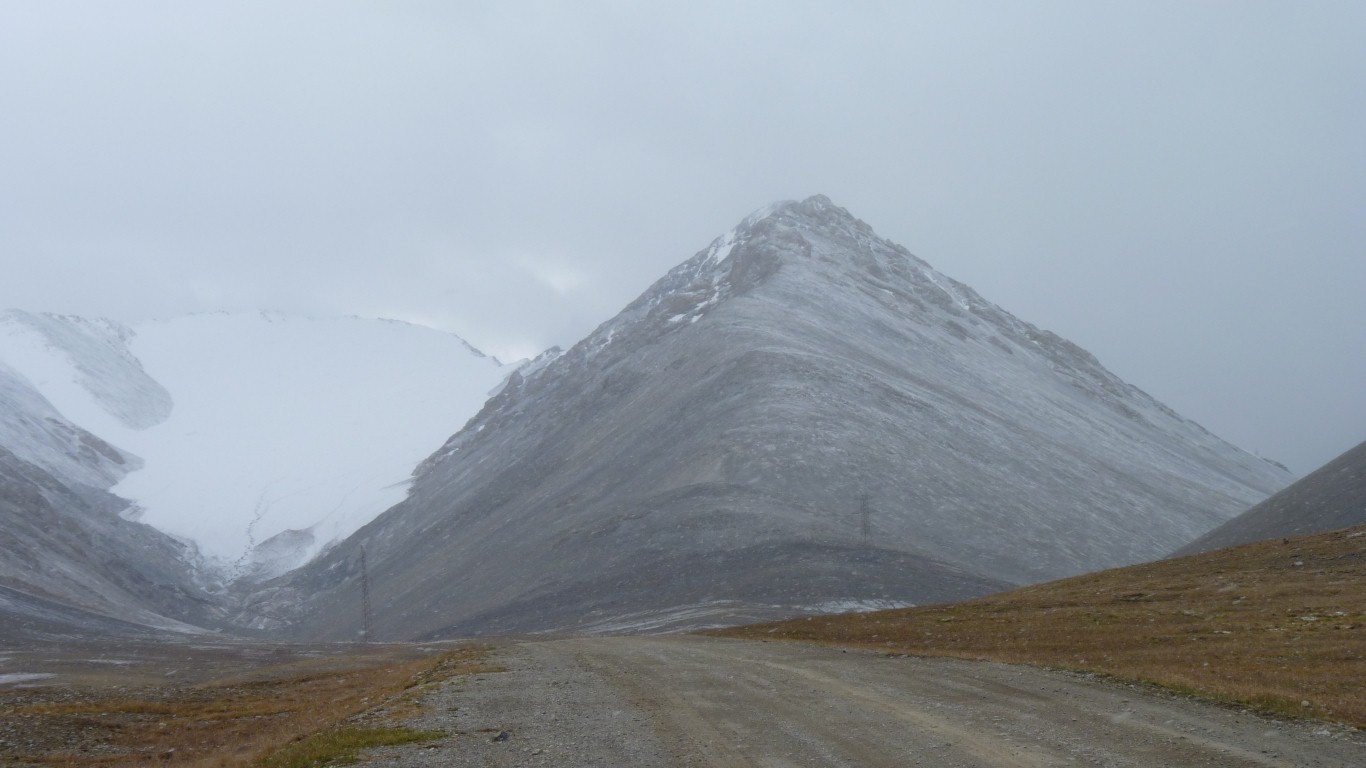
Its along the top of that ridge.
The tall one on the horizon.
I have another $2 lamp which I'll fit just before vehicle inspection in Kashgar.
Just in case there are also a couple of H4 and H1 lamps on their way from Aus - courtesy of Dave (again).
Doesn't everyone check their headlights at 4,000m?
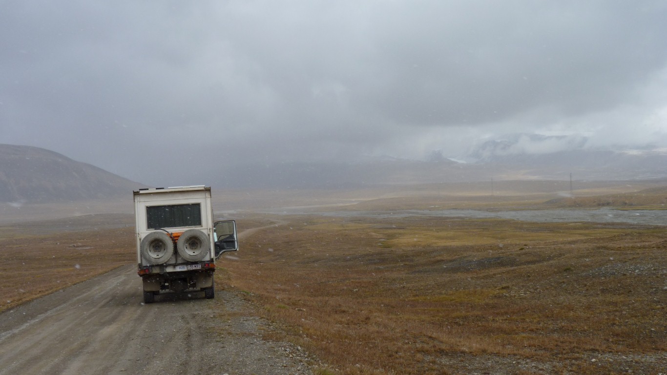
There is ice on the roadside near the top of the pass.
Clear water.
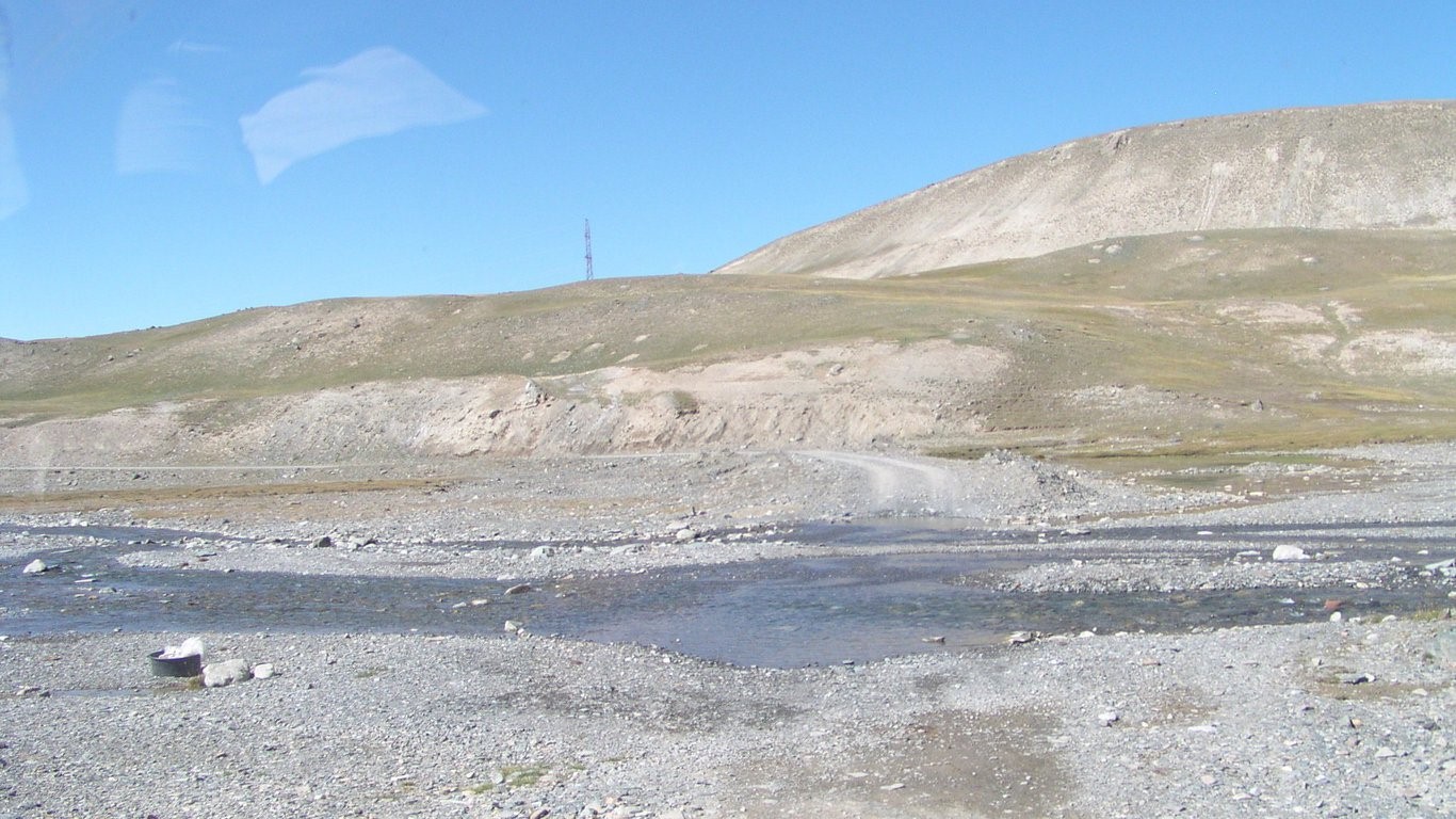
We see glimpses of track on both sides of the river.
We've passed a farm and suspect the track entry is near it.
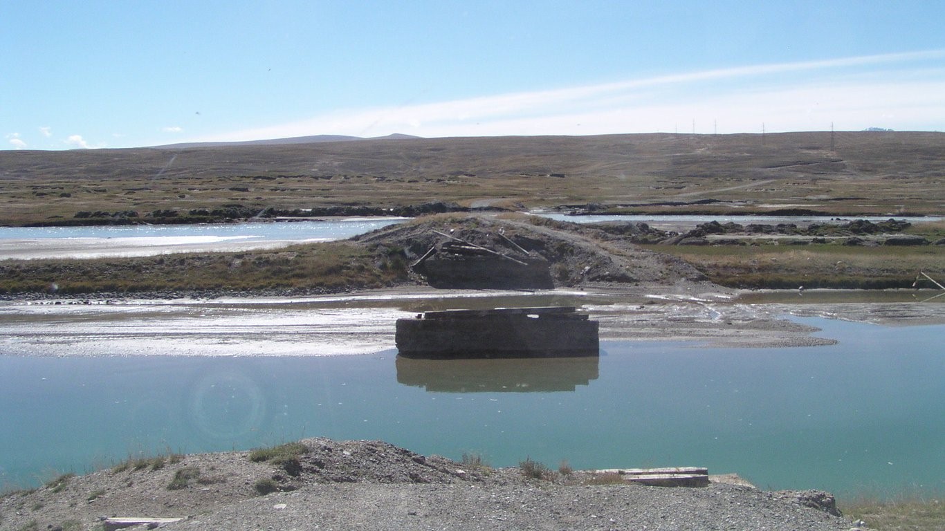
The bridge is missing a bit, or two.
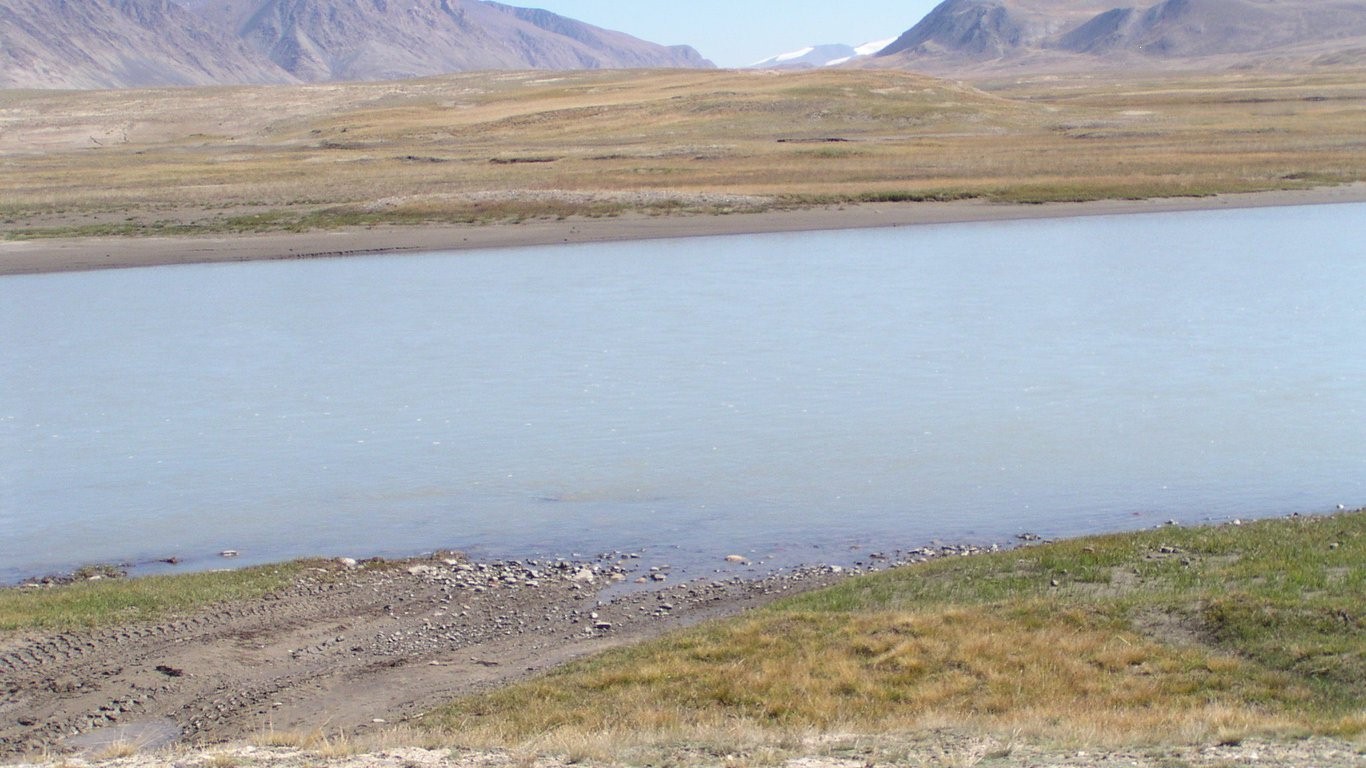
Last vehicle through was large truck.
We can't see how deep it is. And its not straight across. There's an island just downstream of us making the first bit of crossing about 75m. The flow is fast enough to make us think twice about walking.
We know we'll have to come back this way. The road ahead is blocked somewhere ahead due to the plague (though may be as far as 100km away).
We are on our own, and there's no really pressing reason for us to cross the river.
We retreated a couple of km to camp next to a convenient creek a couple of hundred meters off the track. At 3,360m.
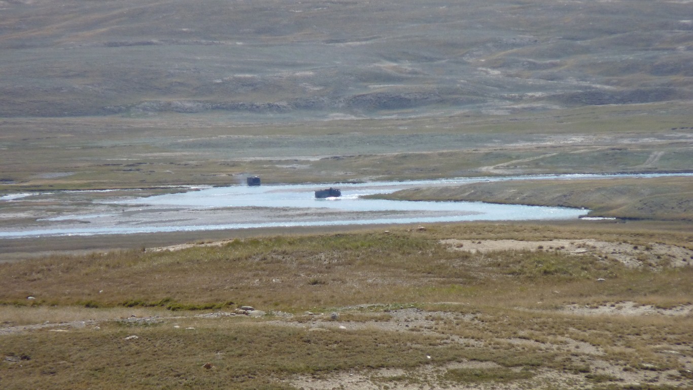
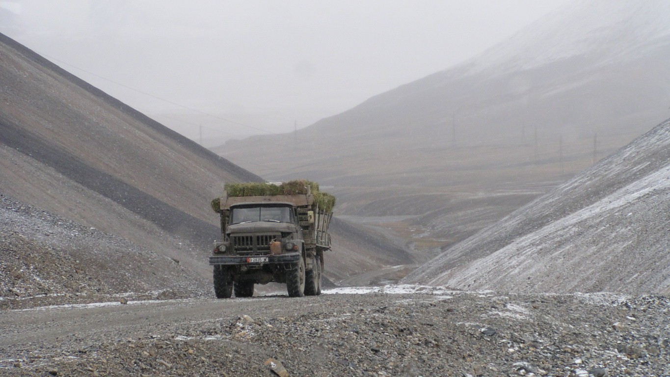
They took the course across the island we thought would be used.
Difficult to tell. We probably could have crossed OK. But it looks to be near the deepest we've previously crossed.
Probably explains why we haven't seen any cars. Nothing but these two and a horse rider all day.
The truck drivers appeared to treat it with a little respect. Only one at a time and first across waited..

For some reason today we are a bit blazé about the rain clouds. They built up slowly during the day.
We're probably more comfortable as we are close to the more substantial (mostly built up gravel) track.
But having said that, discretion became the better part of valor and we moved to solid ground to get some sleep.
Its fine recognising the luck involved in meeting people, or finding special places like our glacier.
Its not fine relying on luck when there's bad weather combined with a 4,000m pass in one direction and an uninviting river crossing with 100km of unknown roads, possibly closed due to Plague, in the other.
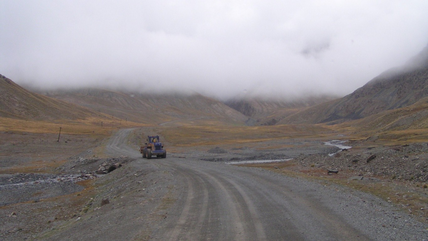
But we'll take the front end loader heading up to the pass as good luck.

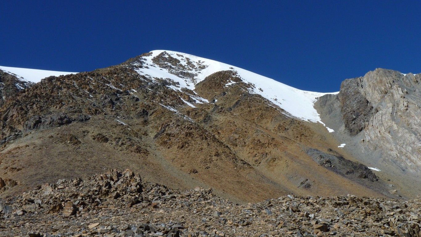
The top of the pass is in sight.
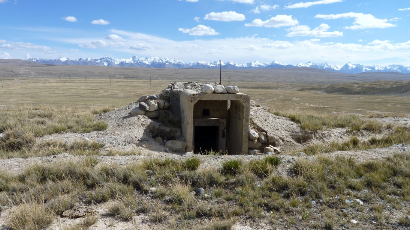
The snow seems to have fallen on the north faces of the mountains.
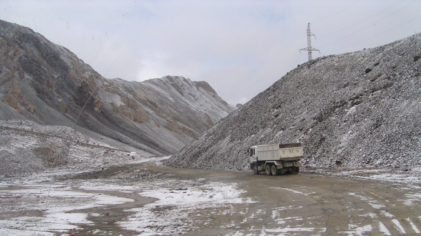
A river gravel operation on the far side of the pass.
Without any common language we think he indicated the way down was ok.
The snow seemed to have only reached about 3,700m.
Nothing to worry about really - hindsight is wonderful.
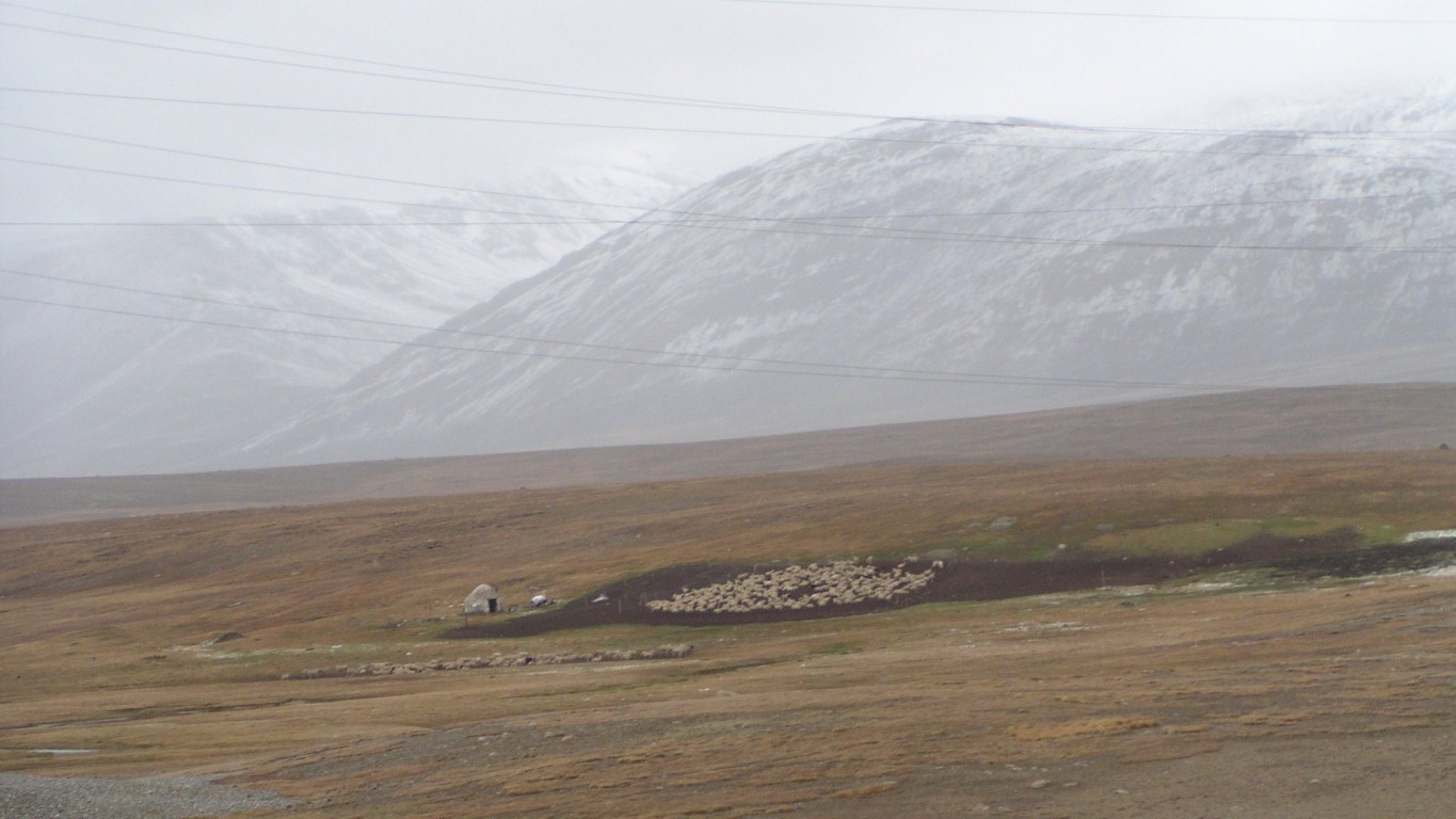
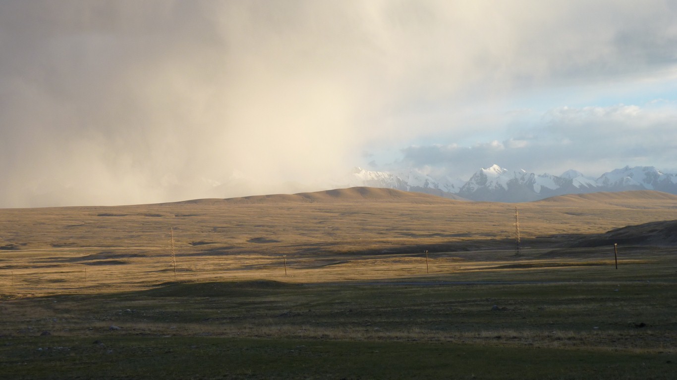
This was the third herder we'd seen who'd gathered up the herd.
We've seen this before but just occasionally between the grazing herds.
Perhaps we are neurotic, but it seemed associated with the weather.
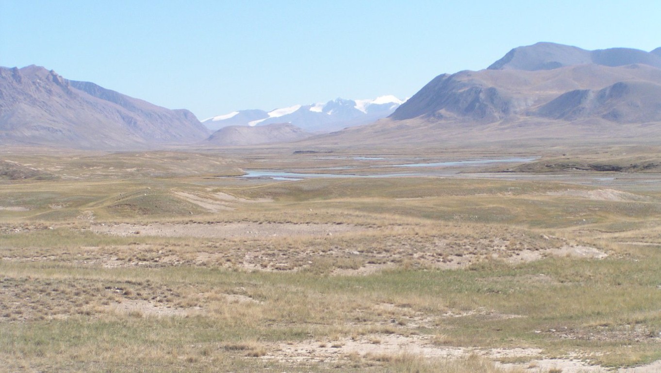
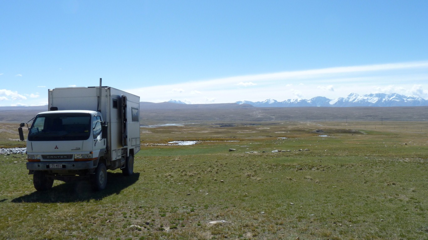
The mountains in the background were clear a couple of days ago.
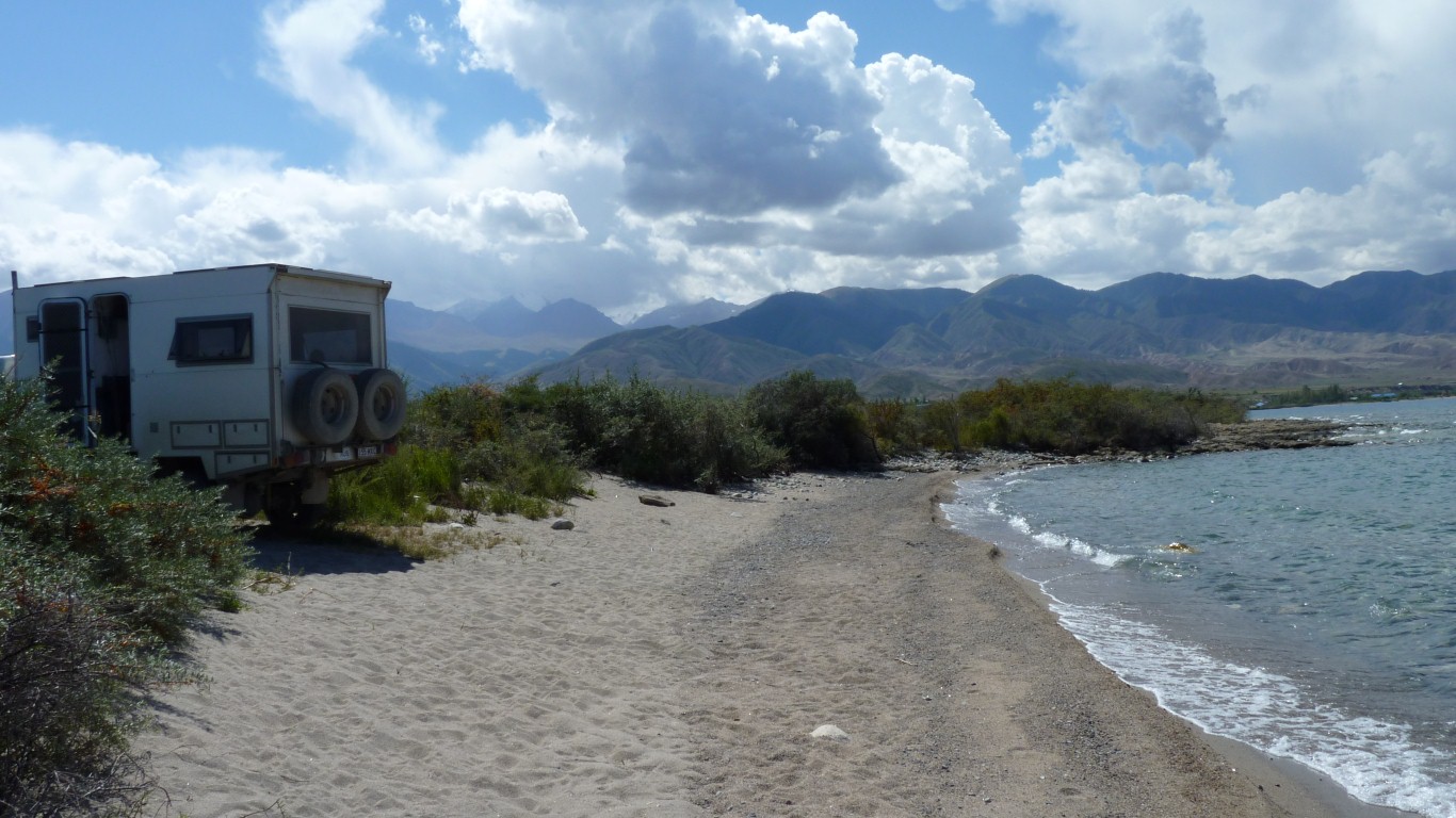
We've descended 2,400m from 4,000m to 1,600m.
Sunshine and sealed road.
Looking forward to some sleep.