But we also remember how exhausted we felt when we arrived at base camp. We recovered well for further exploring, but fatigue, and sore feet, are cumulative.
So we set out for the car park, comfortable that if necessary we can stop for a night along the way if necessary.
We had a one day contingency in the park registration.
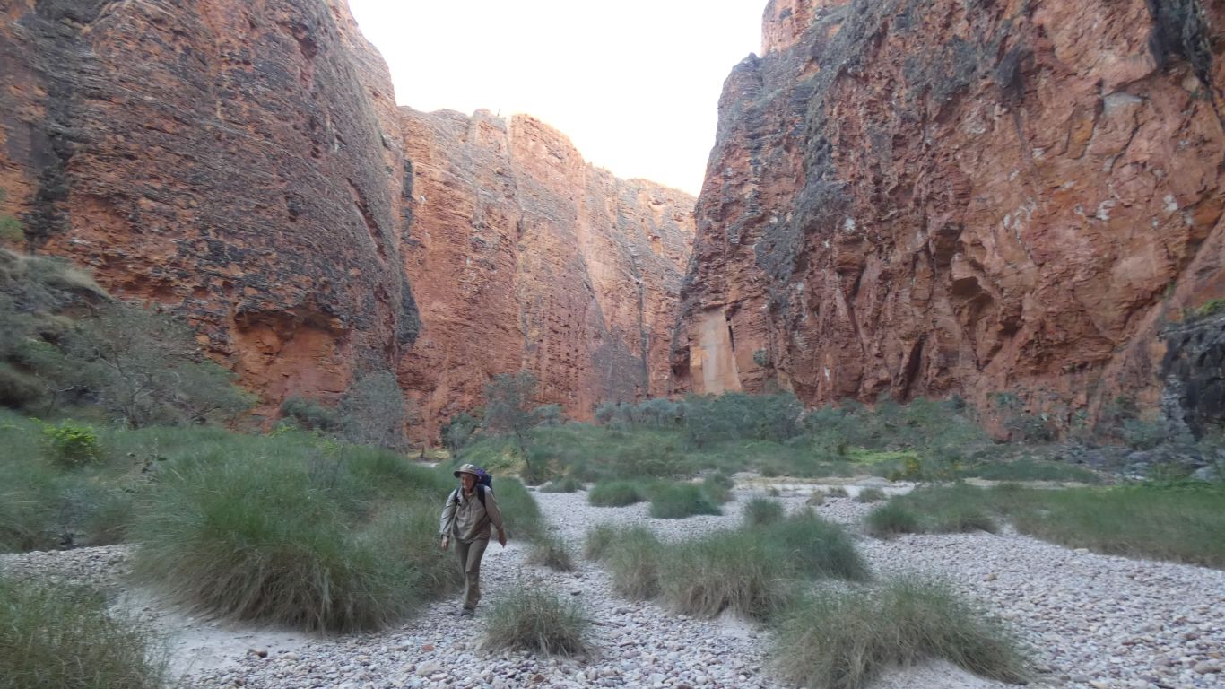
Another early start. Awake as the day became light enough. Walking by 6:15. Aware that the last few km to the car park will be in full sun with little shade available.
Its easier to know where we are, as we've been here previously.
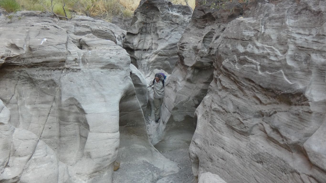
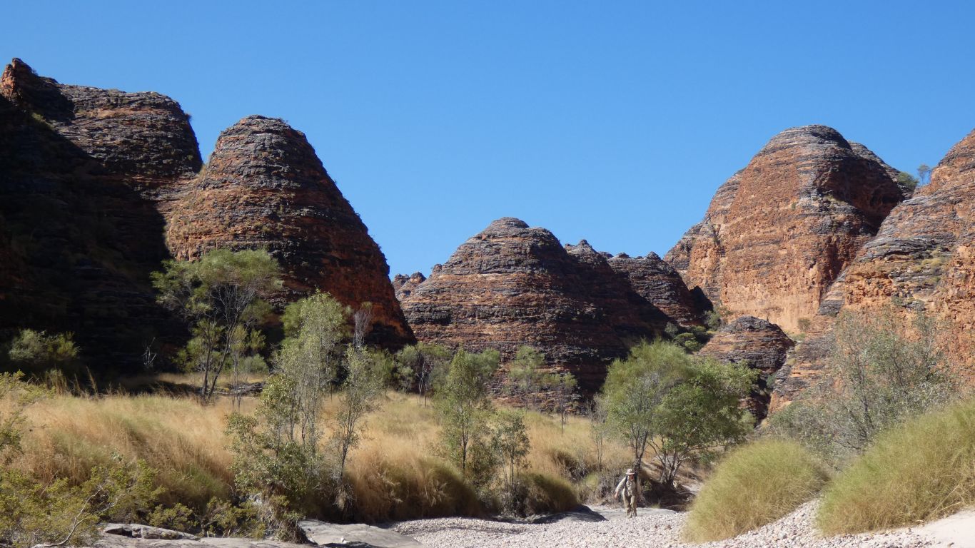
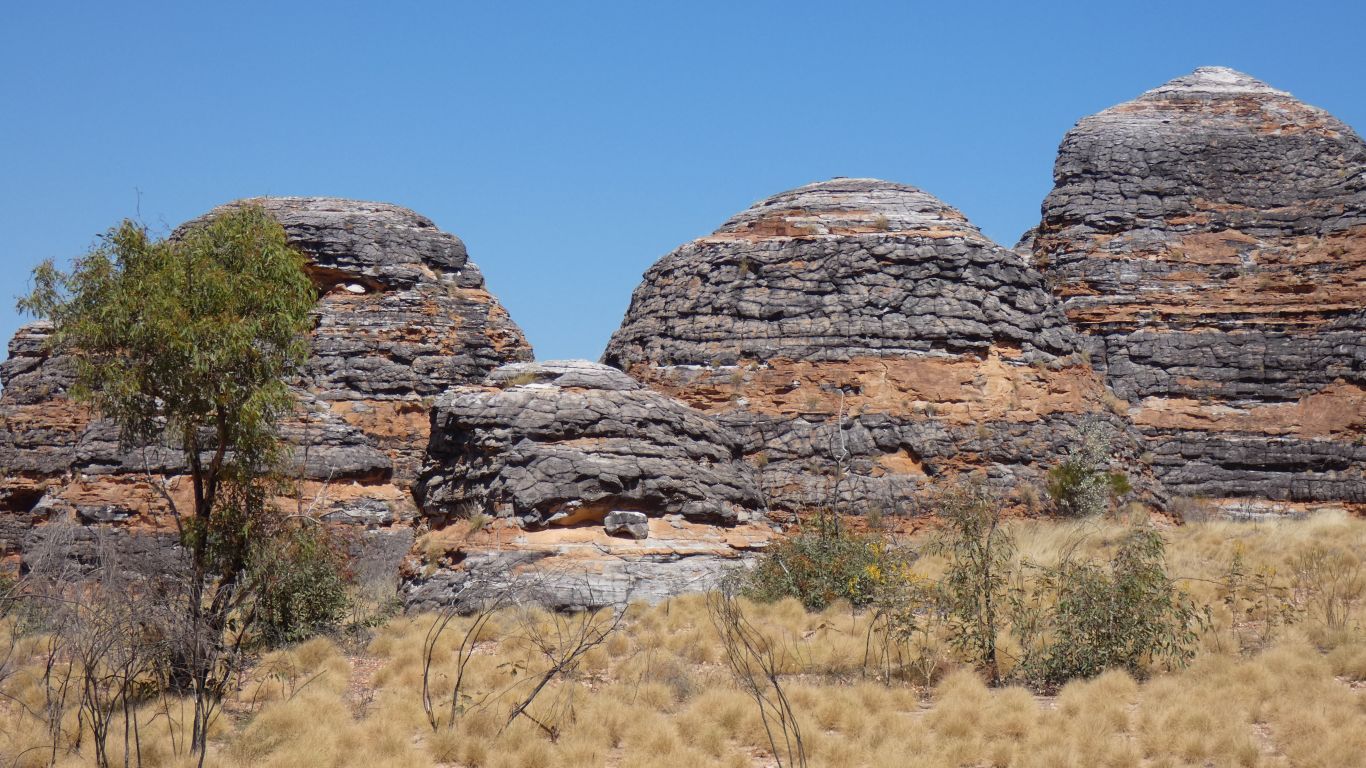
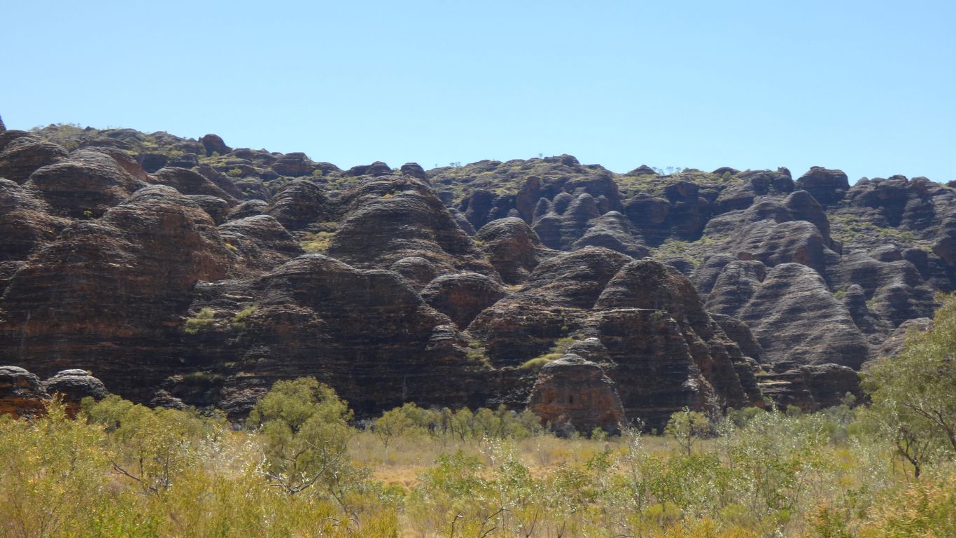
It still seems strange using terms I associate with limestone to describe a sandstone gorge.
Perhaps its time to mention that when the surface of the rock is broken, be it orange or black or grey on the surface, its white underneath. Almost pure silica methinks.
And the sand is mostly white with occasionally a tinge of pink.
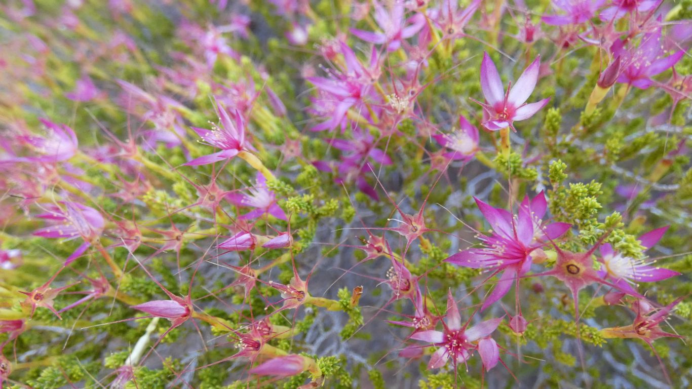
Of course we can't find this mentioned on any of the park signs. It will have to remain as "that bush with the pretty pink flowers".
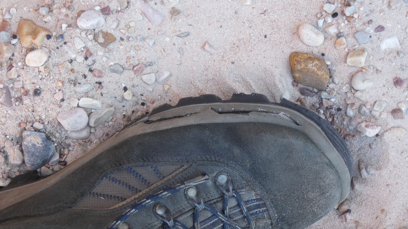
They are sore.
The approach to water for the day is to walk with two full water bottles. We drink as much as we can from one bottle (usually all of it) when we reach a pool then refill and add a water purifying tablet. Repeat at each pool.
We have a couple of litres spare in the pack if we have to camp. And if we need more we know where the waterholes are.
To state the obvious. Its much easier to plan when one knows where the water is. And the load to be carried is much less.
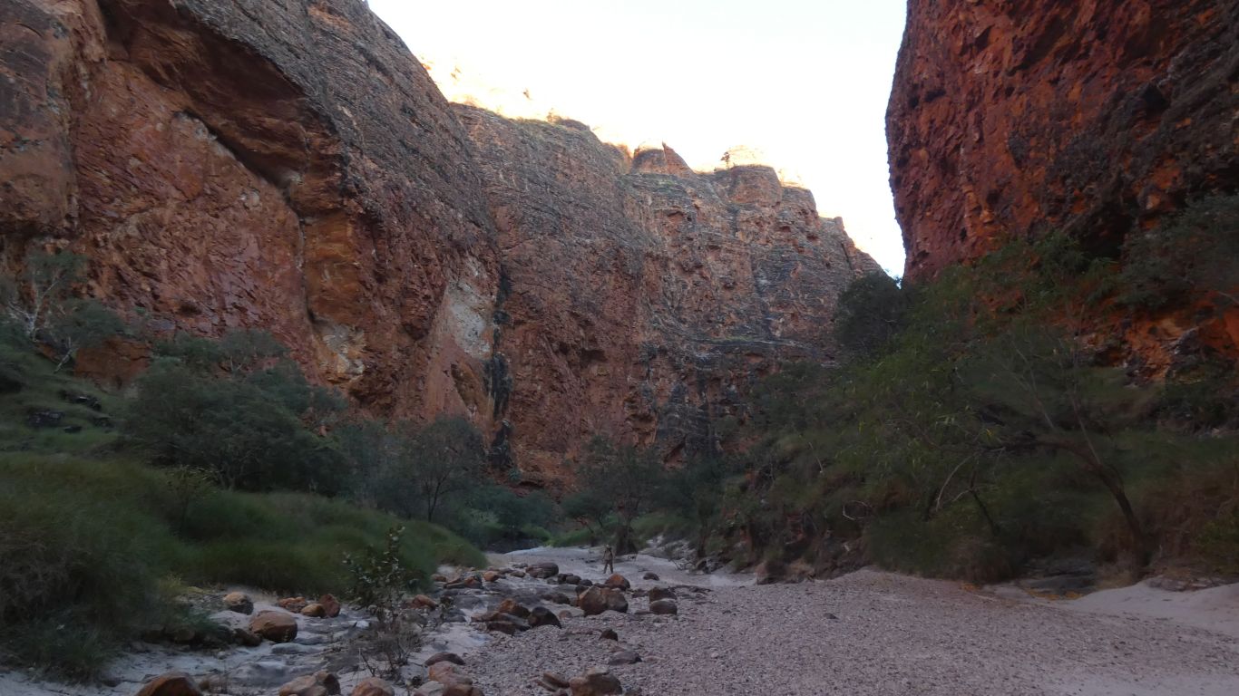
We are at the last pool before the car park. East of the Whip Snake Gorge track. Enough shade under a bush next to the pool. We feel its a well earned rest.
We wonder, again, what result a barcode reader would provide if reading the domes.
It sounds so little but feels like "so near yet so far" while "just around the corner" doesn't really fit.
There is little breeze. We are beginning to notice the sun and temperature.
We have chewed what we bit off.
A rest. A drink. A drive to the airstrip to book a helicopter flight for the day after tomorrow. We think we've earned a rest and a splurge. Please write down the booking details for me as I'm tired and my brain is more than a bit addled. A stop at the visitor centre to de-register (which of course is closed for lunch until 1pm). Then to the campsite.
While waiting for the visitor centre we meet again the first couple we met camped in the gorge. They had walked a little way further into the gorge on their first day and realised they weren't really well prepared to stay longer than one night. "Better safe than sorry". We also met the less talkative second pair who had also become exhausted and retreated.
We feel we pushed our boundary more than a little, but remained within safe limits. While there is some perverse enjoyment in physically exhausting oneself the real enjoyment is in exploring a truly magnificent gorge and range. An incredible, amazing, awesome, place.
We have been surprised there is water available at the campsite. We must have misread some old information.
But never look a gift horse in the mouth. We have long hot showers. There has to be some advantage in having the truck while most around us are in tents.
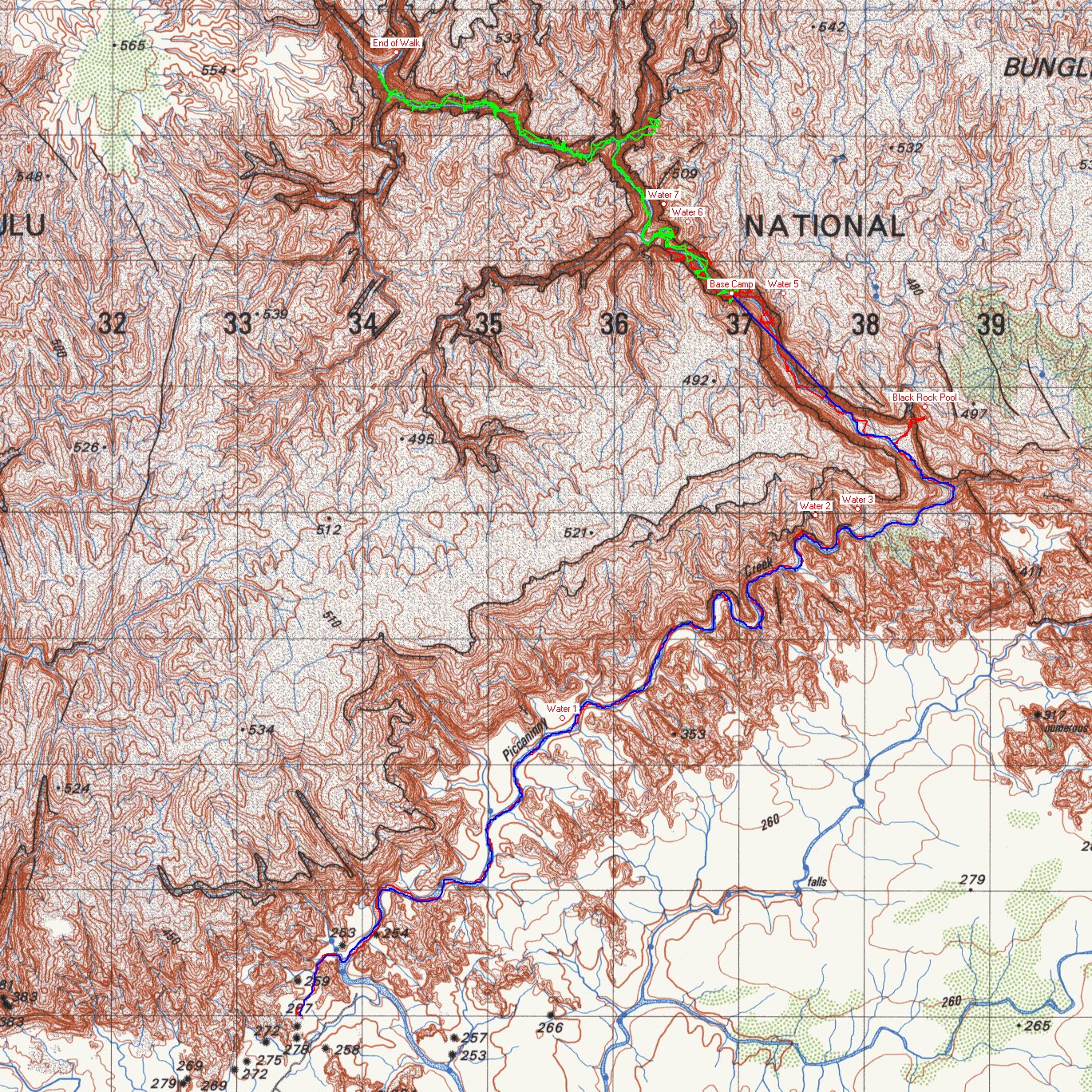
Green is day two, the gps said 14.6 km
Blue is day three, the gps said 12.14 km, the first couple of km without a satellite signal so the gps drew a straight line from base camp (last known position) to where a valid signal was received.
The gps trip meter roughly agreed with the park signs. The park map (pamphlet) seemed about 25% underestimated. Which we thought was a lot and potentially misleading.
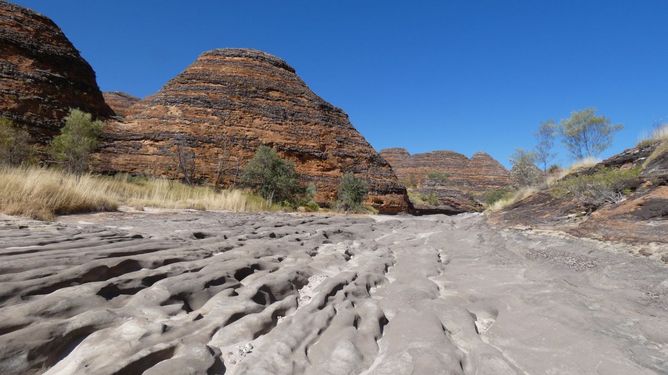
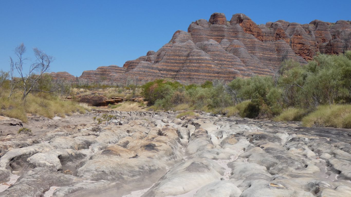
The water pools marked on this map are what the gps said, but is very approximate as we actually walked next to the water. Tripped over it (without falling in). The gps is patently wrong. The pools are all in the creek bed. With the exception of Black Rock Pool (almost) impossible to miss.
But of course by the time anyone else walks this way "things will have changed".