Nuga Nuga National Park - Ridge Climb July 1 - 2 2023
 
  Let's see how high up the mountains we can reach?

The contours aren't really sufficient guidance, but perhaps almost.

What I assumed was an escarpment with a plateau is a series of partly connected ridges.

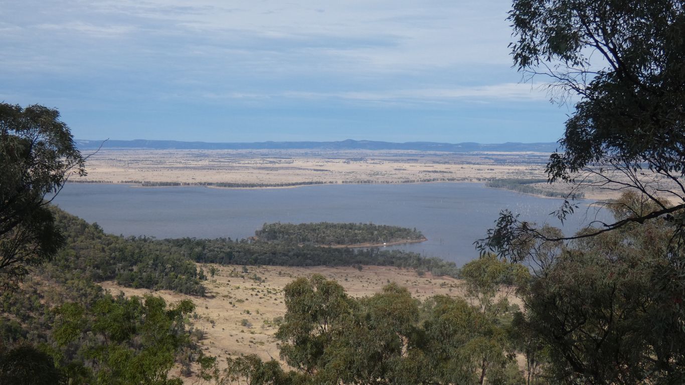
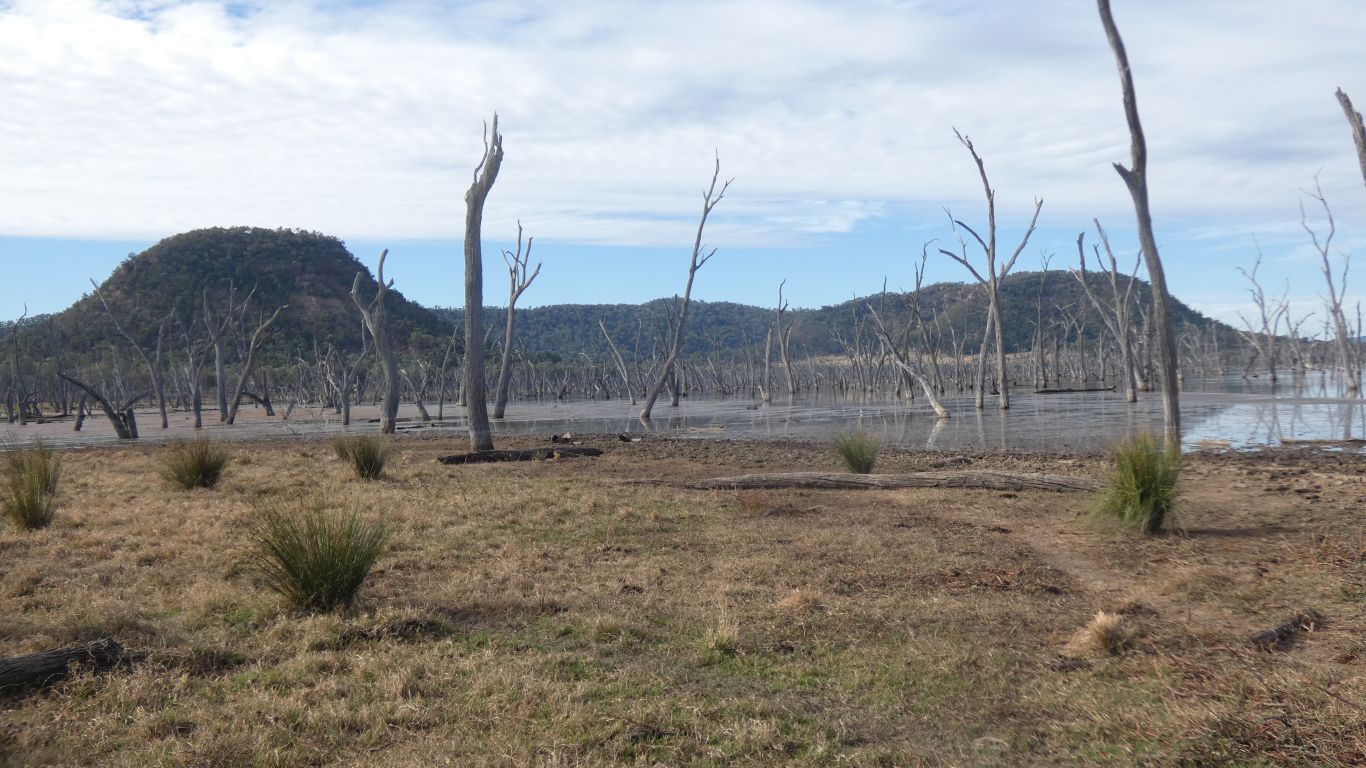
The lake existed long before it grew to its current size when the outlet silted up. There's an indigenous rainbow serpent residing under both Warrinilla and Kirk mountains.

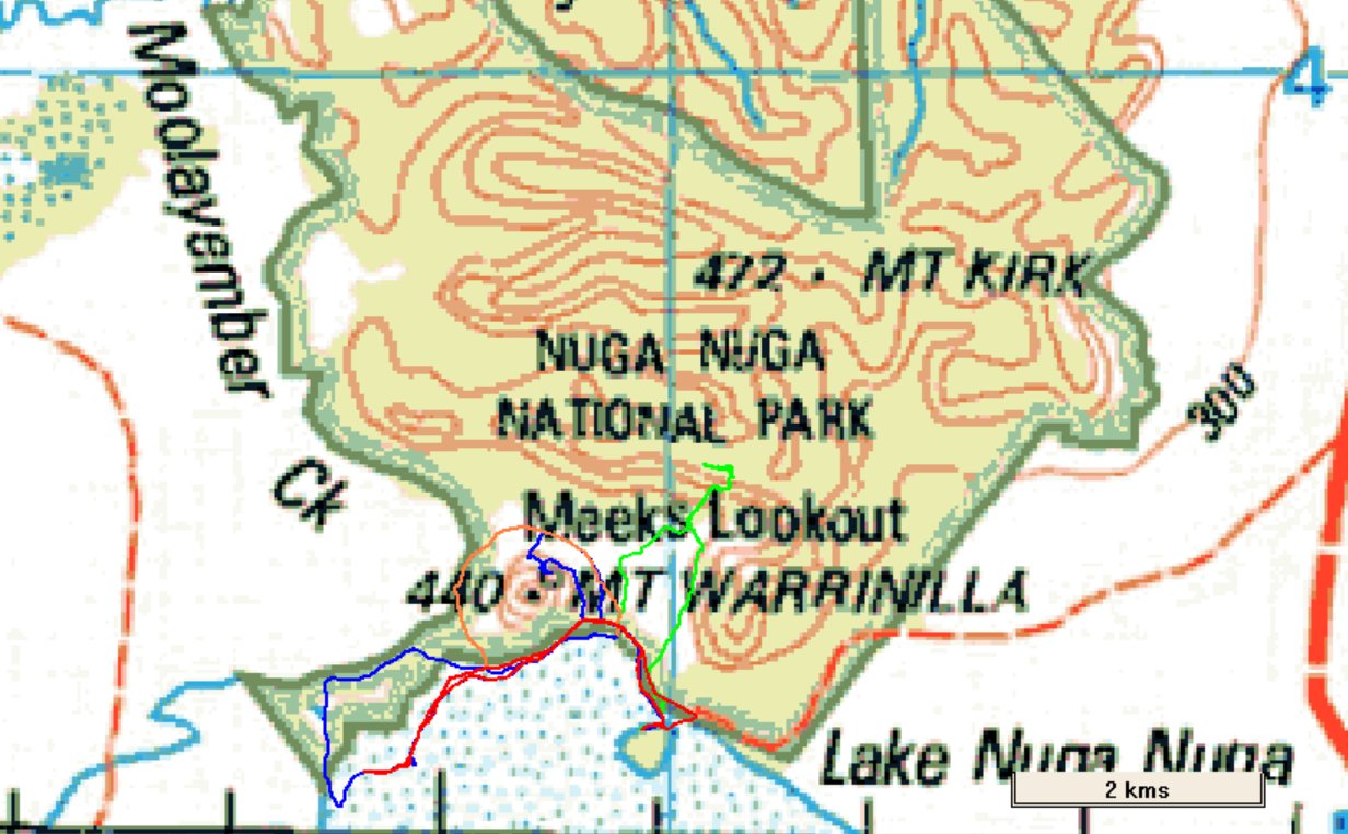
Green track is to the top of a ridge. Orange around Mt Warrinilla. Red and blue "to the ends".  

     
  Eventually I realised I was looking at ridges, with different vegetation, or possibly just shadows, on the southern and northern faces.

The marker shows the position I reached on top of a ridge - the end of the green line.

     
  I skirted around the base of the near ridge, headed generally north. Looking back to check where I am.
     
  Not just a climb up a ridge. The park preserves "Brigalow Scrub". Which used to cover a vast area, until cleared for pasture.

Without really knowing what Brigalow is I am embarked on a search.

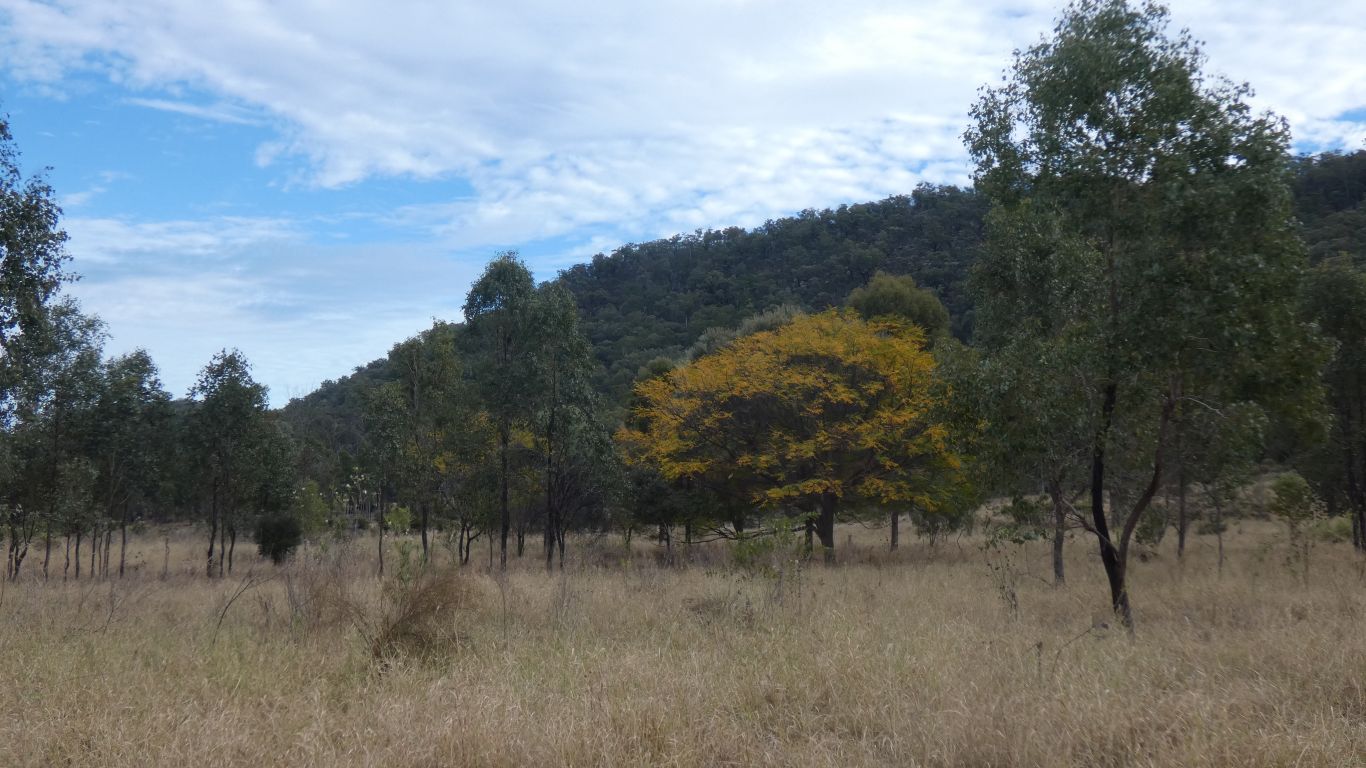
Though perhaps not quite a recipe for failure ..... I do know it is an acacia. I think a sort of pasty olive green. A dark, ridged, bark. While the yellow blossom a different acacia.

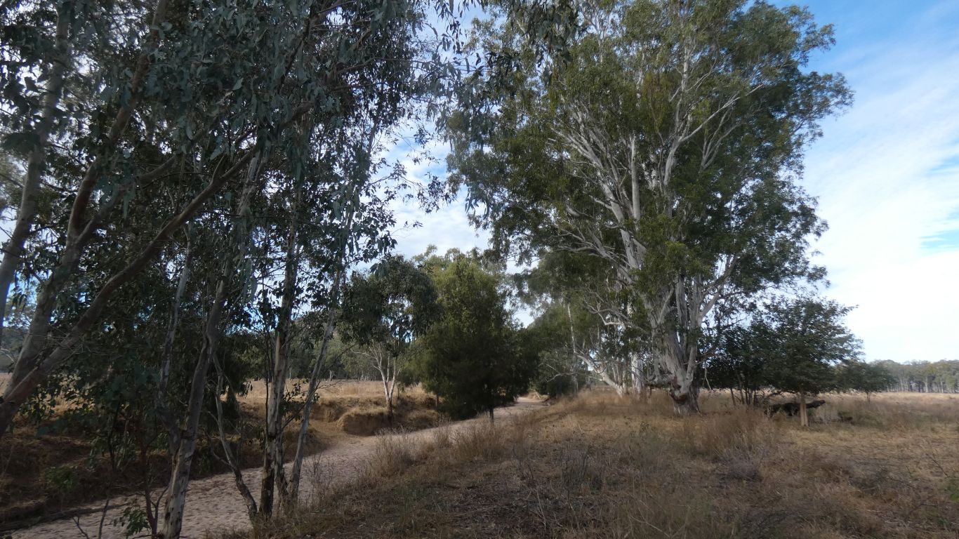
Behind the trees the west end of the ridge. Rather than walk around that way I thought I'd try straight up the face .....

     
  Pretty soon the small stones gave way to bigger rocks. Gradually becoming steeper.

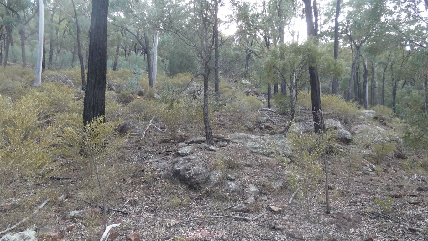
Easy going, though  a bit of navigation around obstacles required.

     
  Looking towards Carnarvon, with the side of Mt Warrinilla, and Meeks Lookot, on the left.
     
  All I can say is "lots of trees".

And no cattle tracks.

A glimpse of vertical bluff which would be impossible. I'm following a bit of a ridge, about 45 degrees from left upwards to right. A bit of a gully to my left. Hopefully a way to the top.

     
  And so there is.

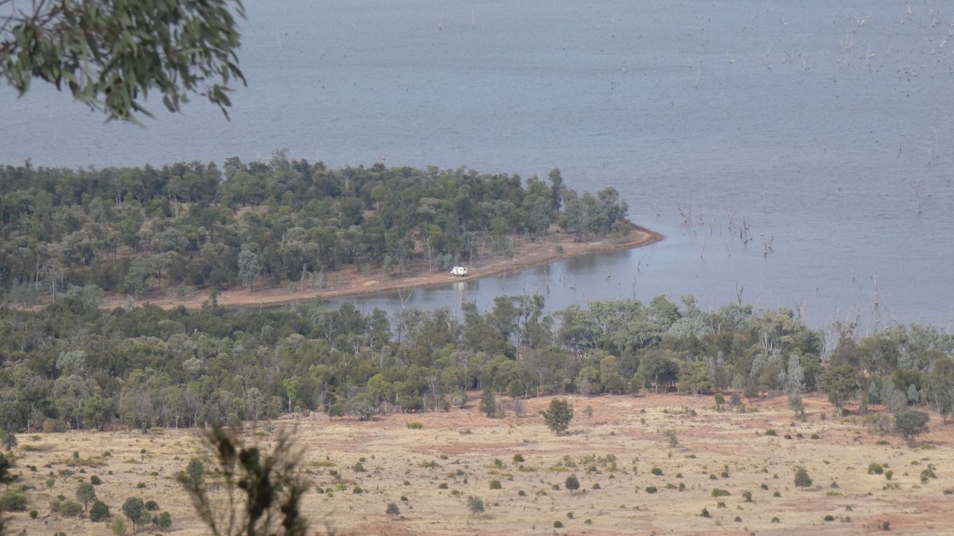
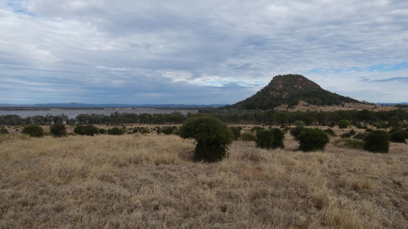
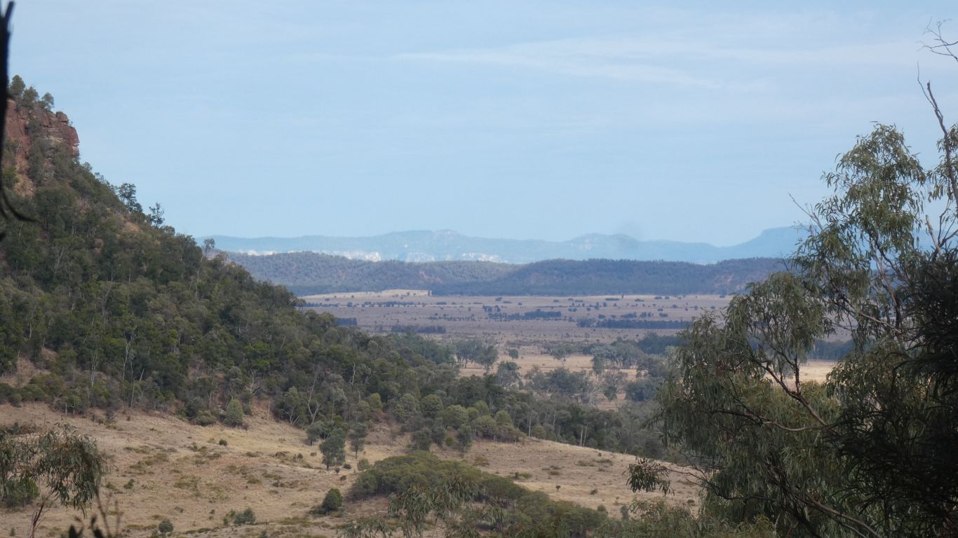
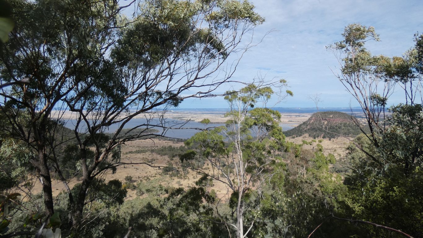
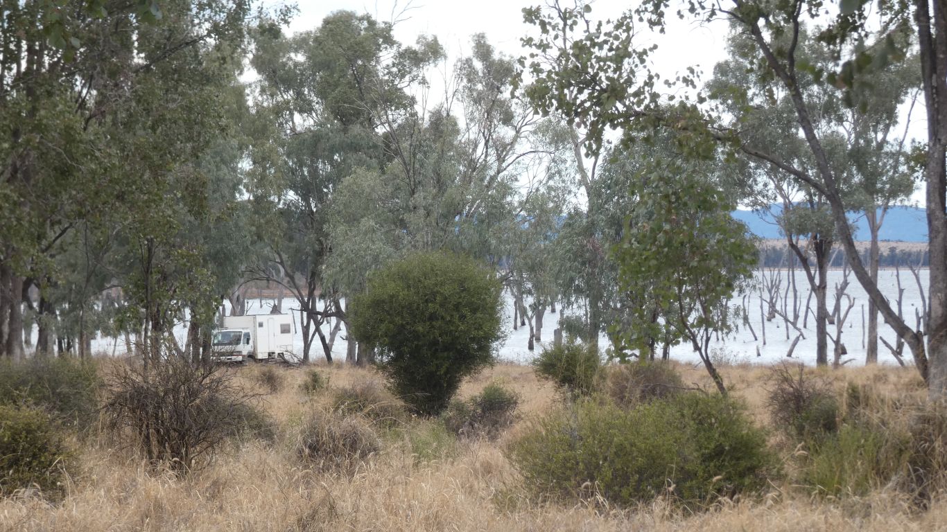
200m below, and a couple of km away, the peninsula and truck.

     
  And looking beyond.

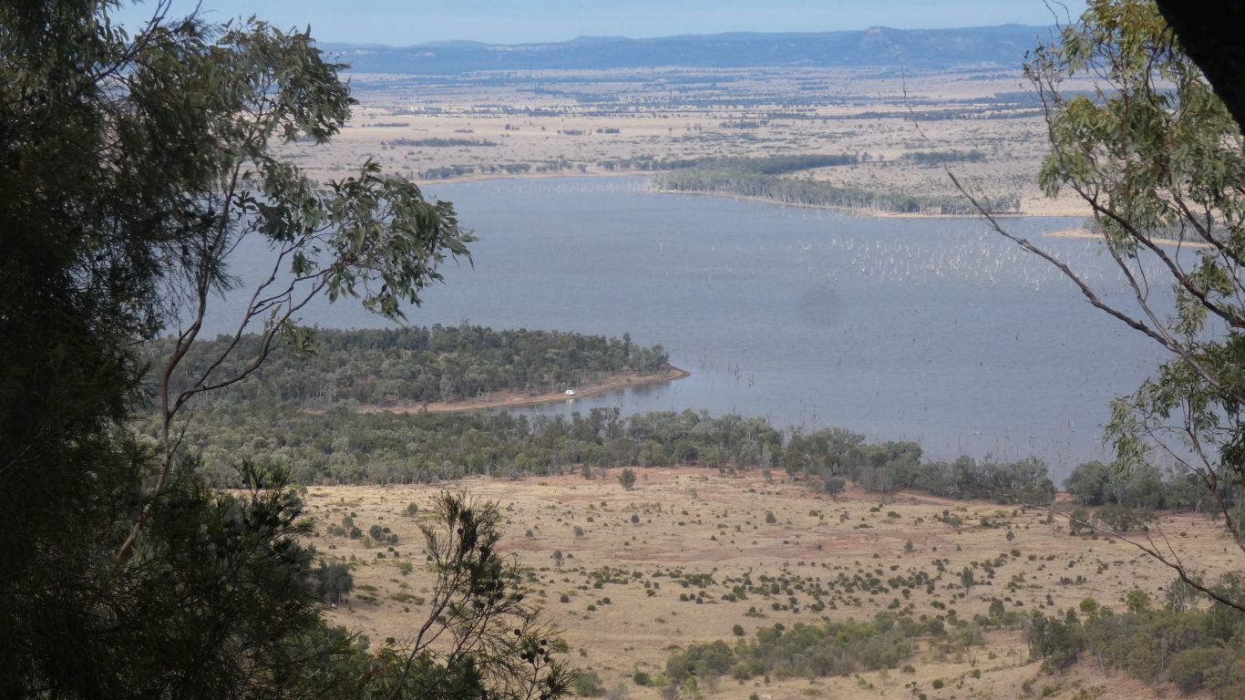
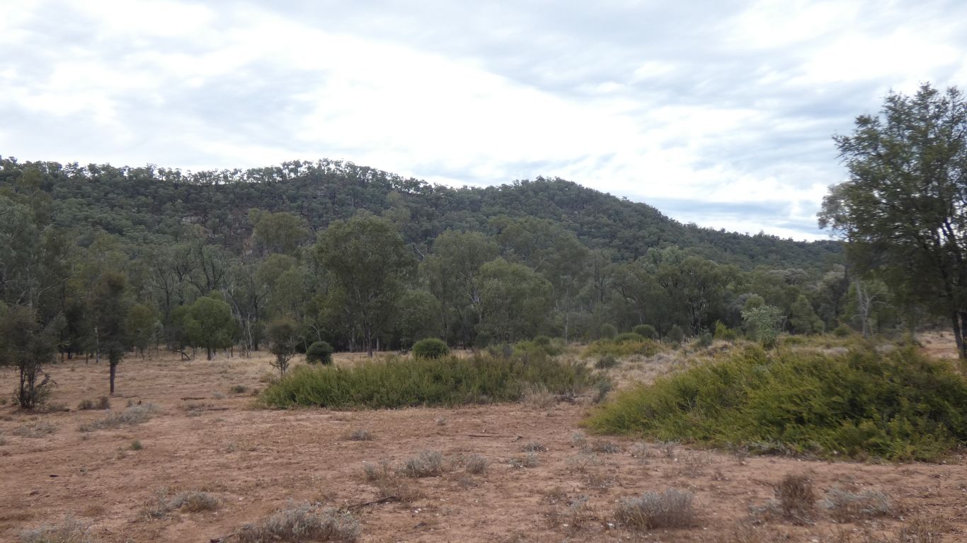
Expedition National Park in the distance.

     
  The ridge top, where the mark on the satellite view is.

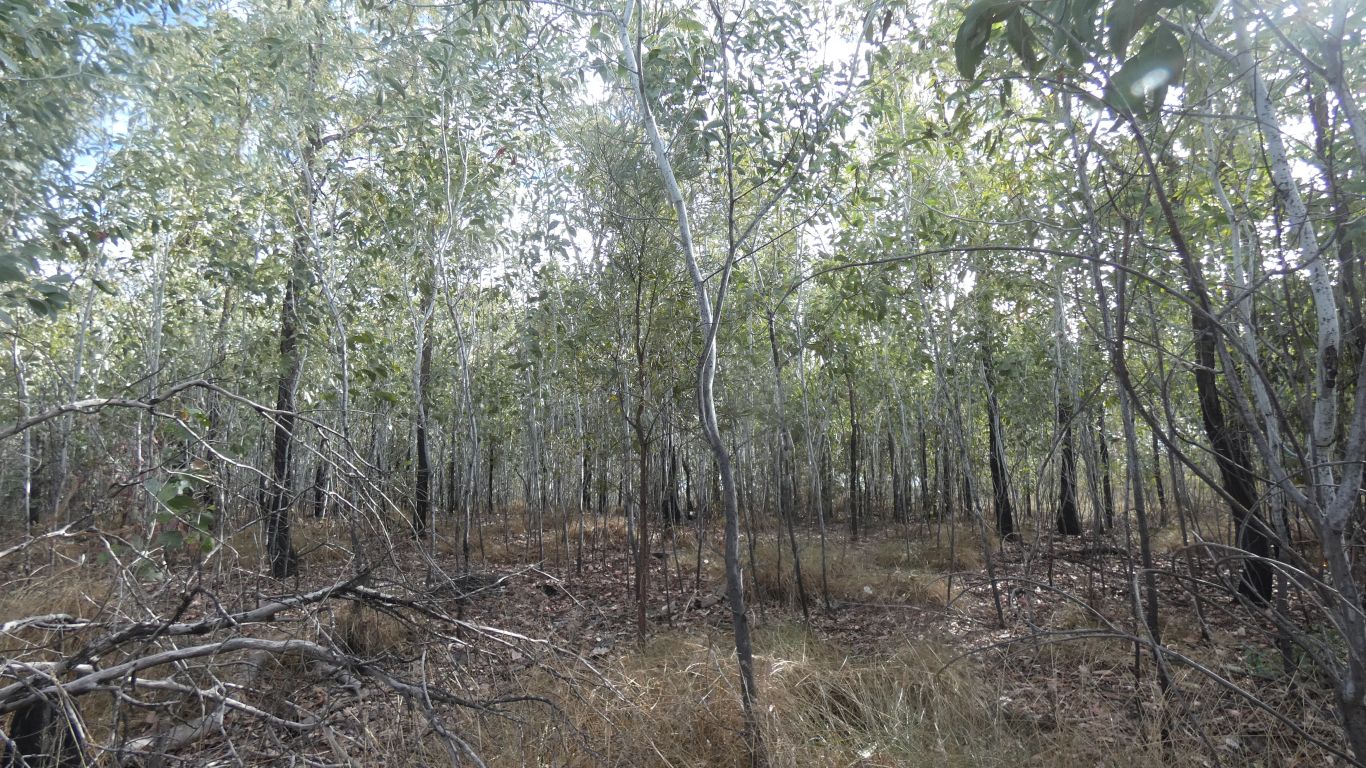
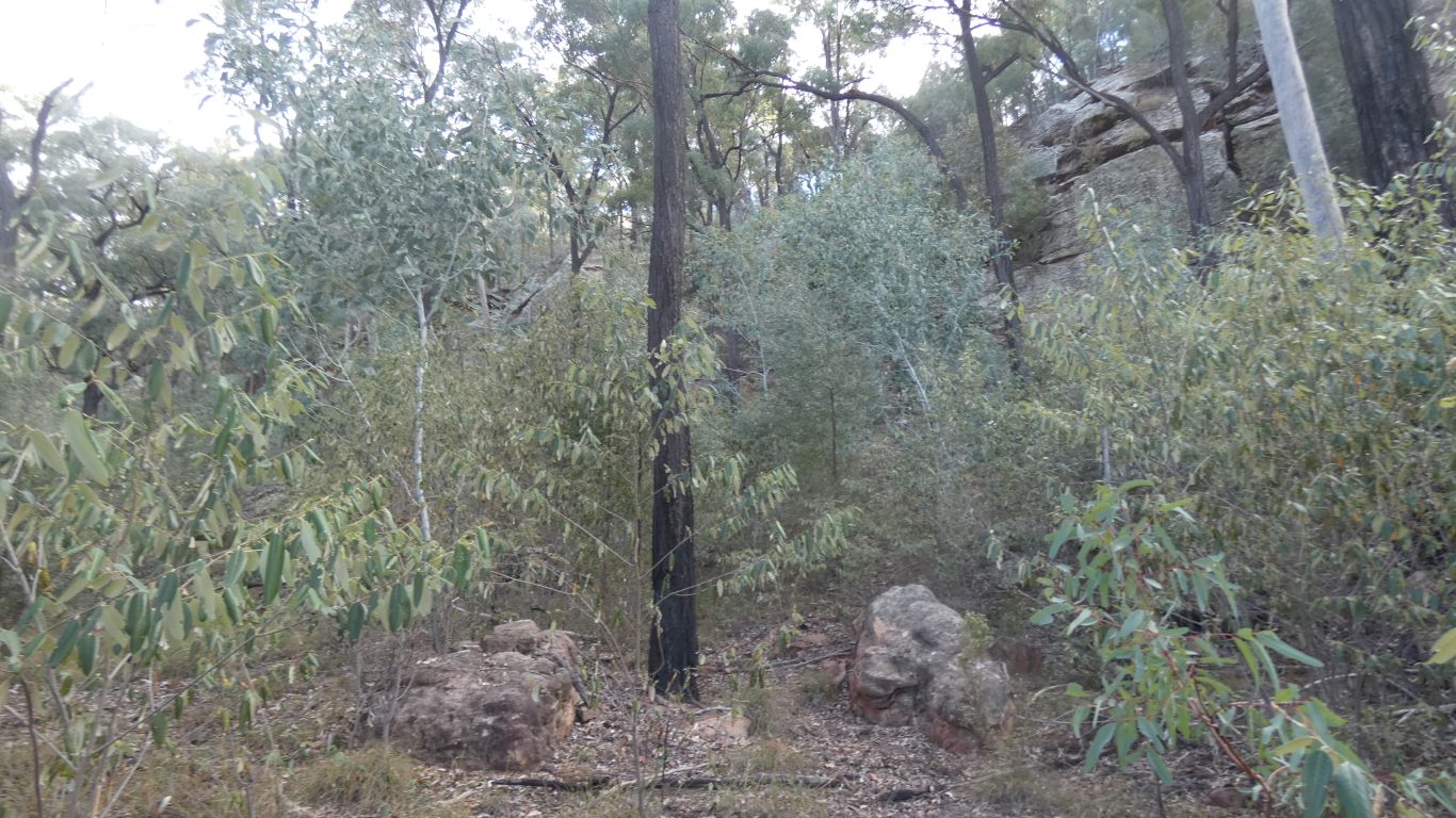
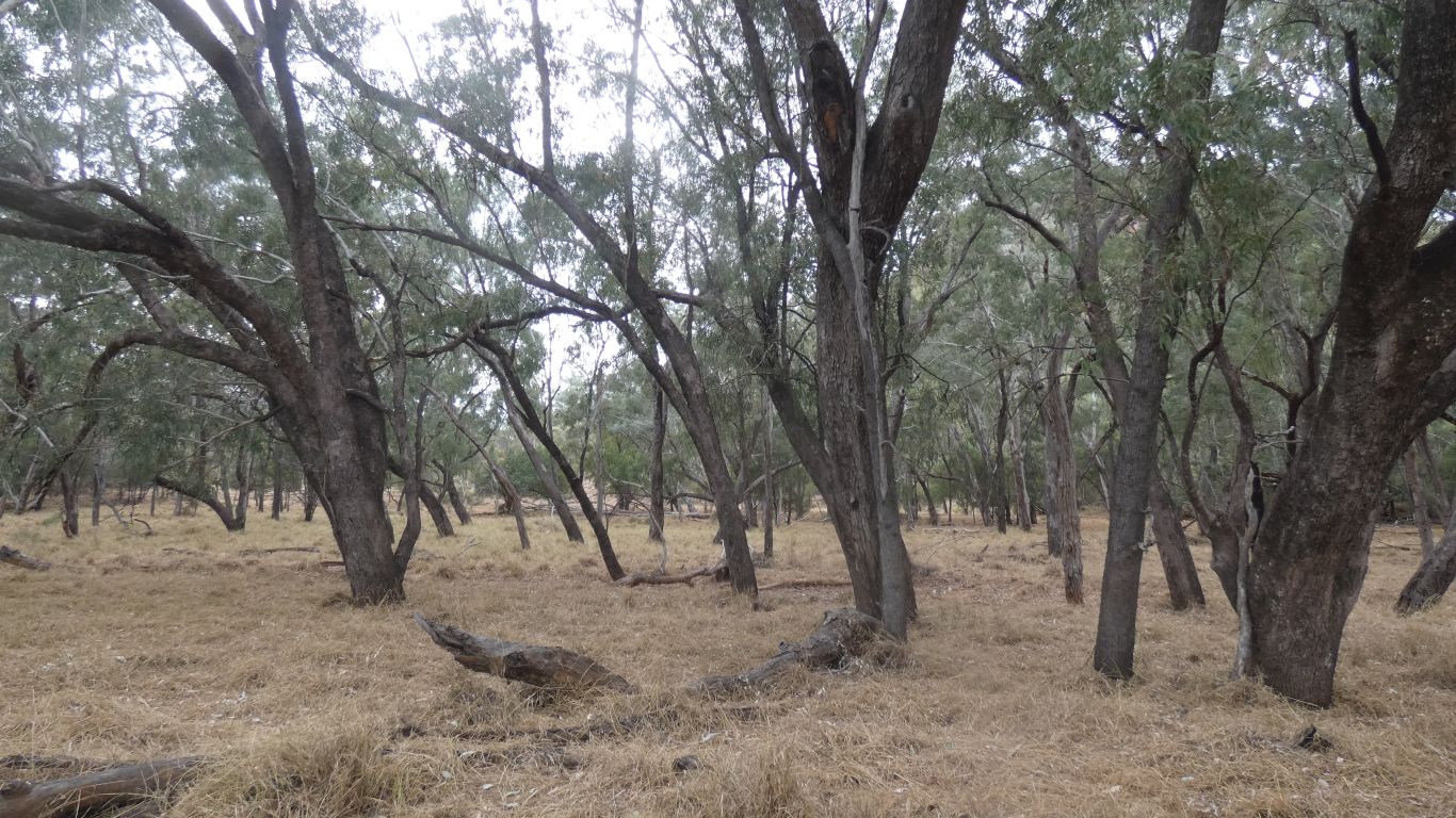
A bit disappointing. Spindly trees and not much undergrowth. I assume a fire sometime in the past, or just the stunting effect of the rather cool breeze that caused me to retreat from the edge.

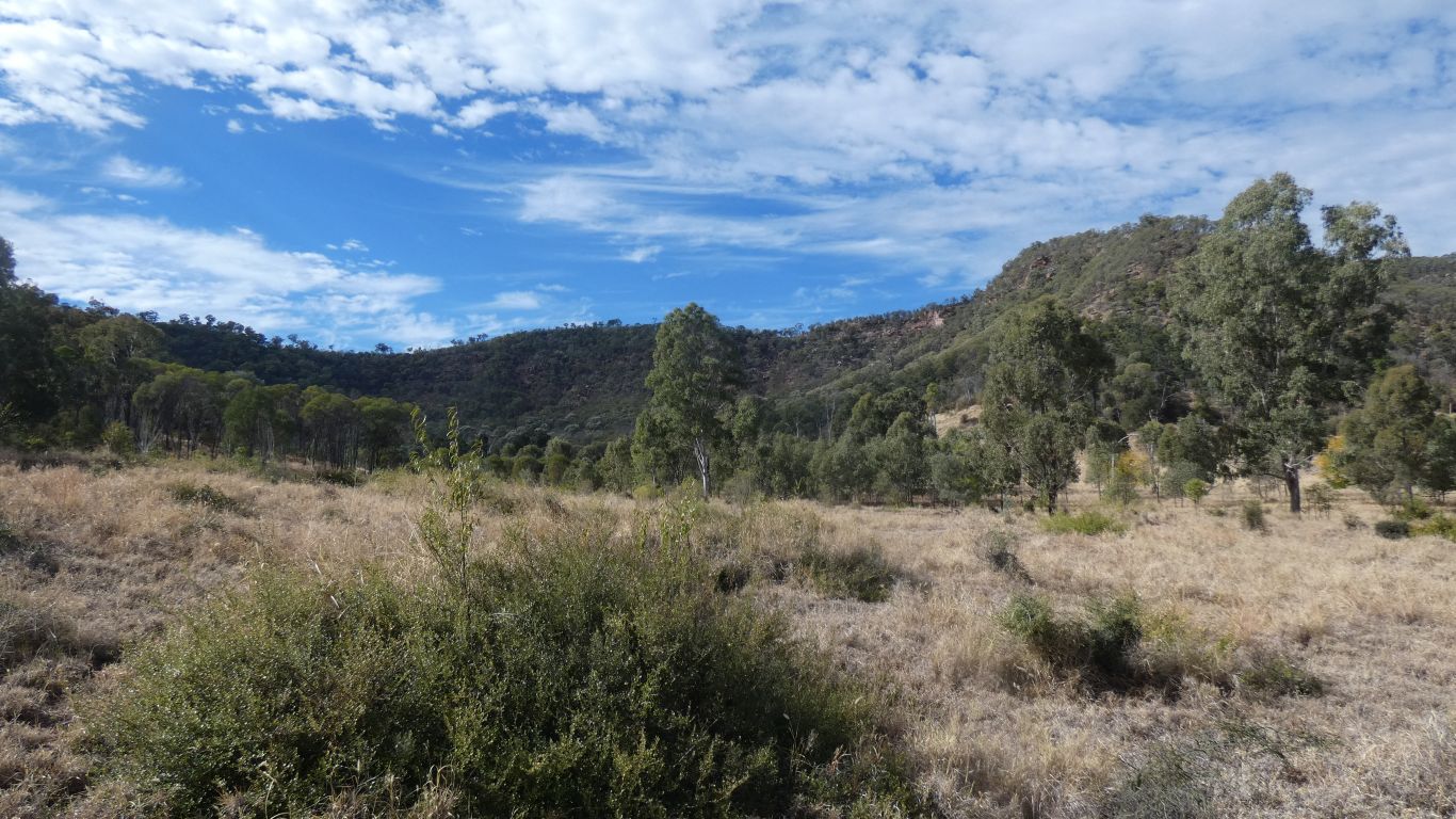
Narrower ridge than Shepherds Peak.

     
  A few bigger trees. And what looks to my uneducated eye like a variety of spinifex. With ever increasing circle, dying off in the middle.

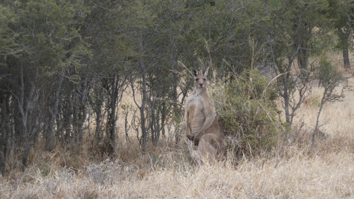
I haven't seen many wallaby droppings. Let alone seen any wallabies. Though a few overhangs where something has perhaps slept.

     
  Looking west again. I've walked west along the ridge, in search of whatever I happen to find.

For a while I had wondered whether my legs would carry me to the top. But they did, with energy to spare. A delightful feeling.

     
  Mt Warrinilla is a useful landmark. As is the peninsula and the truck.
     
  Or just the peninsula and the truck.

I haven't really forgotten to look at the vegetation. Just hard for me to make sense of it.

     
  Down was more difficult than up. The gps tracker helped me follow the line I took to climb up. But its difficult enough following the tracker on the flat, on a steep slope a couple of meters left or right can also be a couple of meters up or down.

Just slow while I took time to recognise my surroundings.

     
  A bit of a loop once on relatively flat ground. Eaten by cattle and kangaroos, easy going.

With what I think (or hope) is a brigalow tree.

     
  Next day, ready for another walk. A circumnavigation of Mt Warrinilla. With Ali.

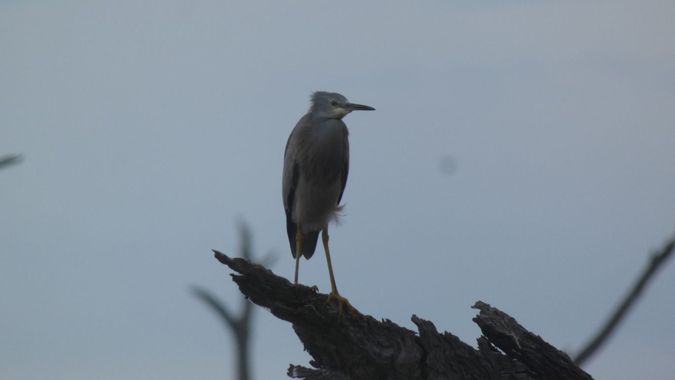
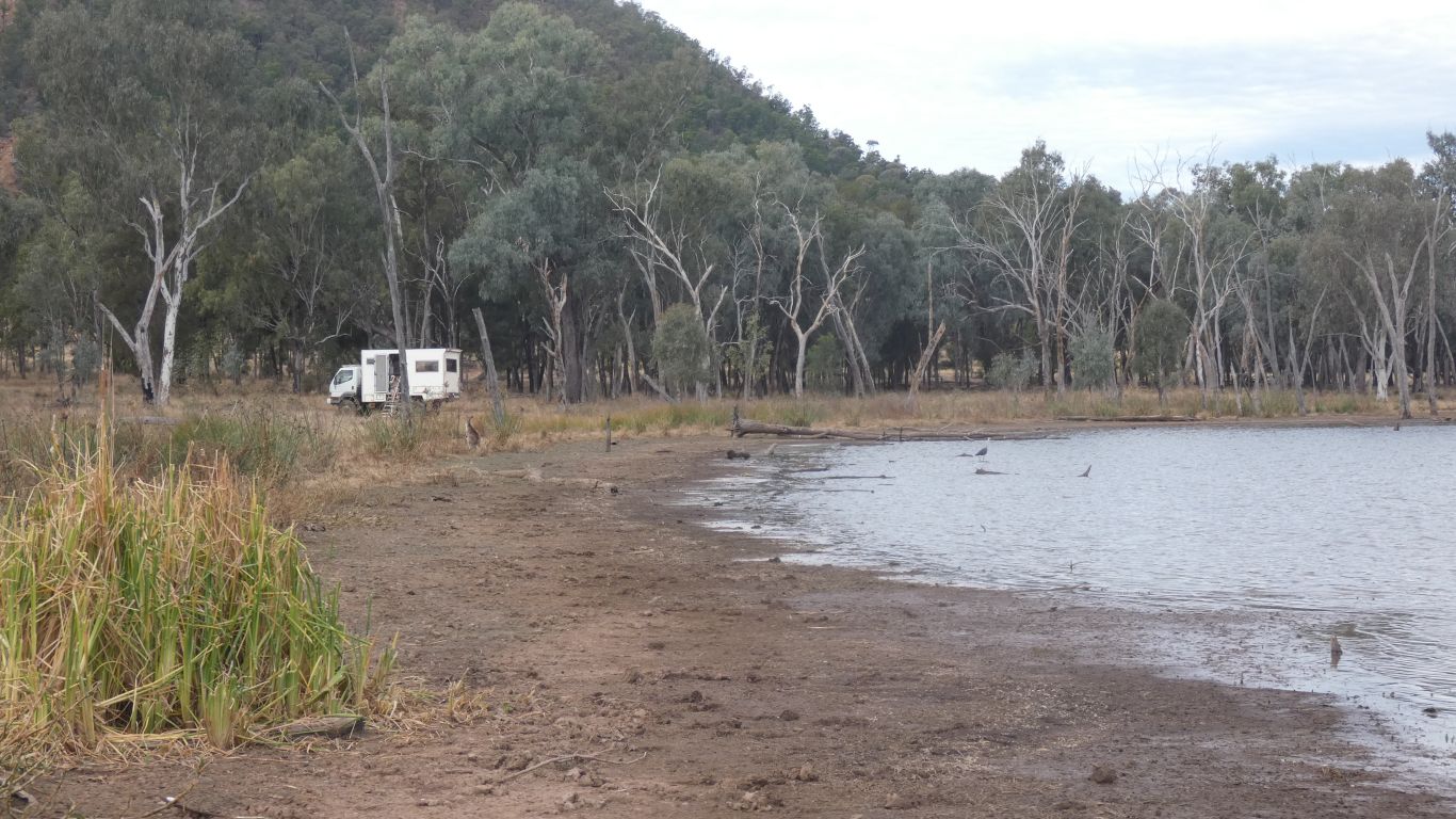
We awake to see what is probably a black bittern. An unmistakable shape. Colours hidden by glare.

     
  Brown River, again.
     
  We follow it northwards, below the mountain.

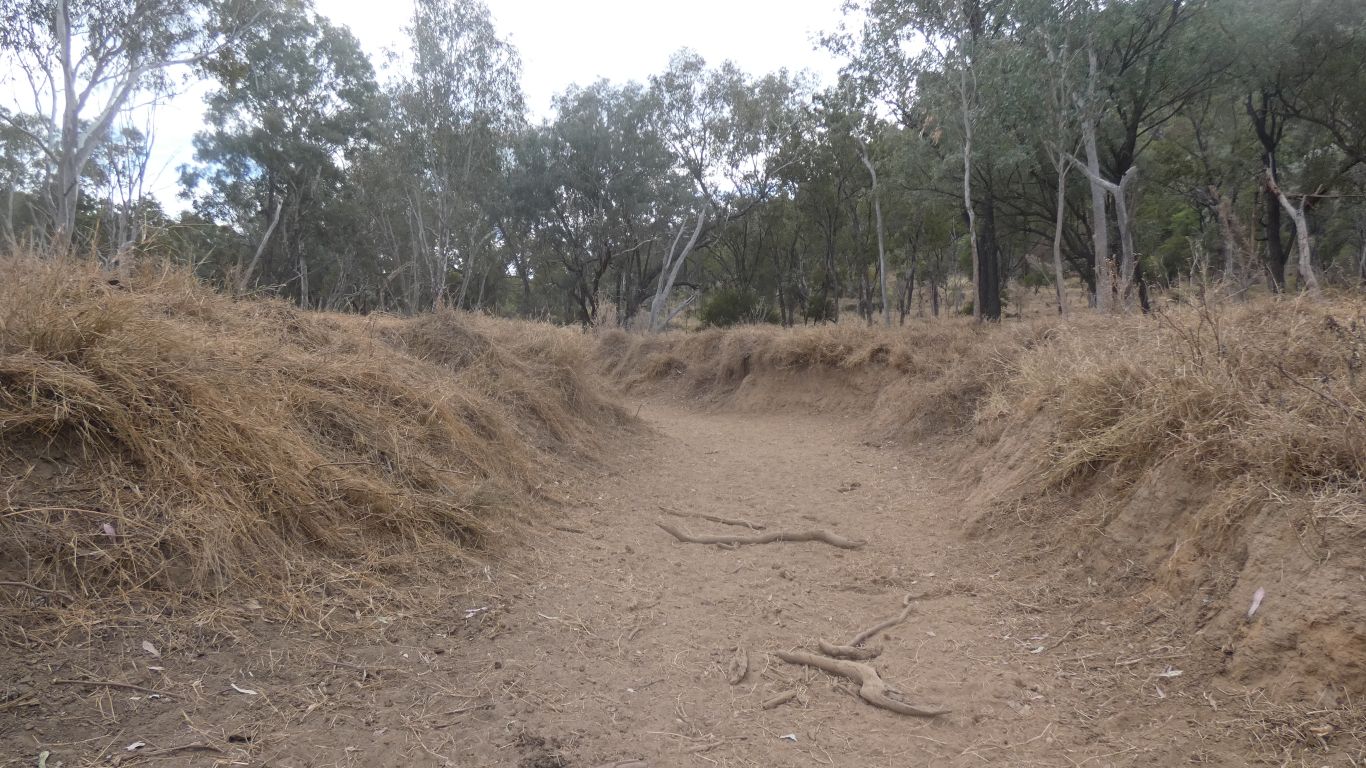
We can imagination logs and other debris contributing to the silting event.

     
  The Brown River meets Moolayember Creek.
     
  We follow the creek, staying within cooee of the base of the mountain.
     
  We wonder why the trees are on a lean.
     
  We leave the creek to continue our circuit.

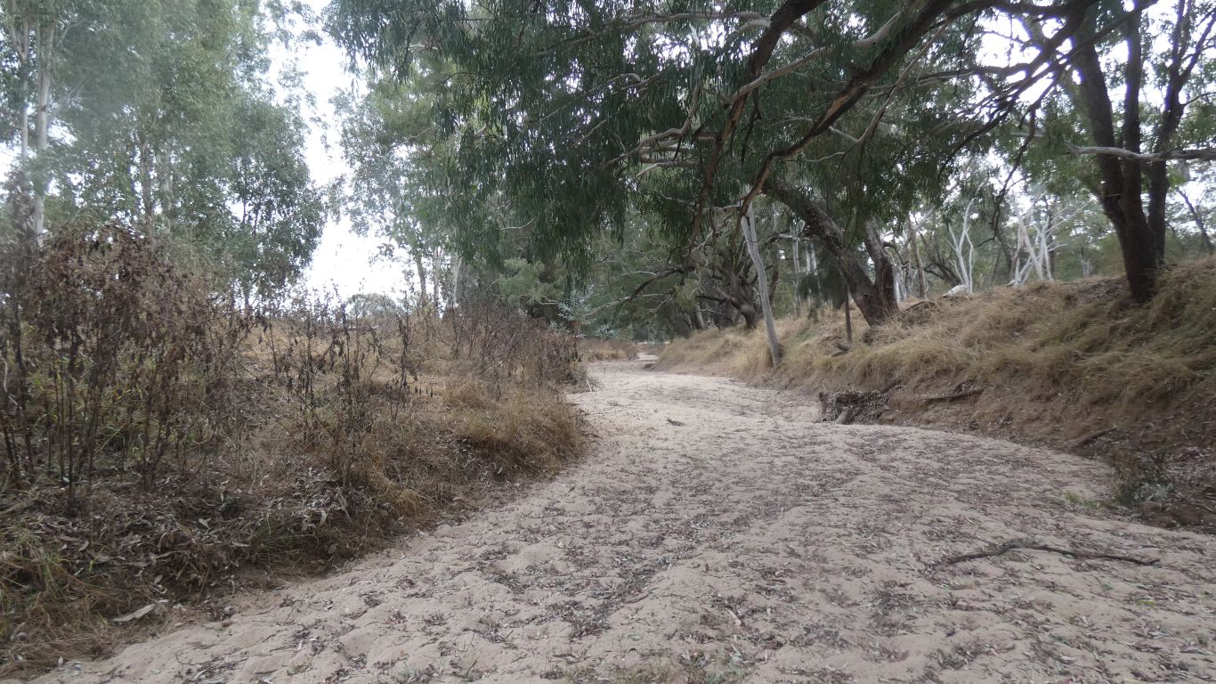
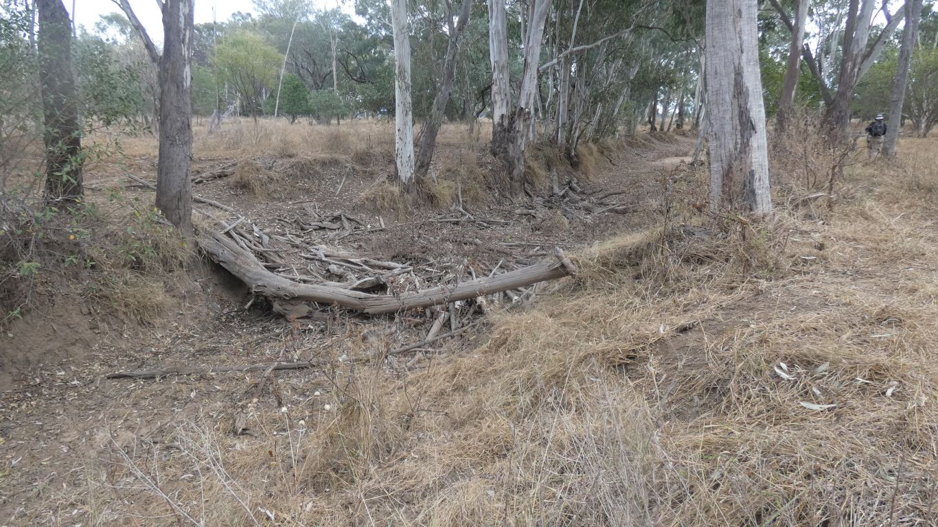
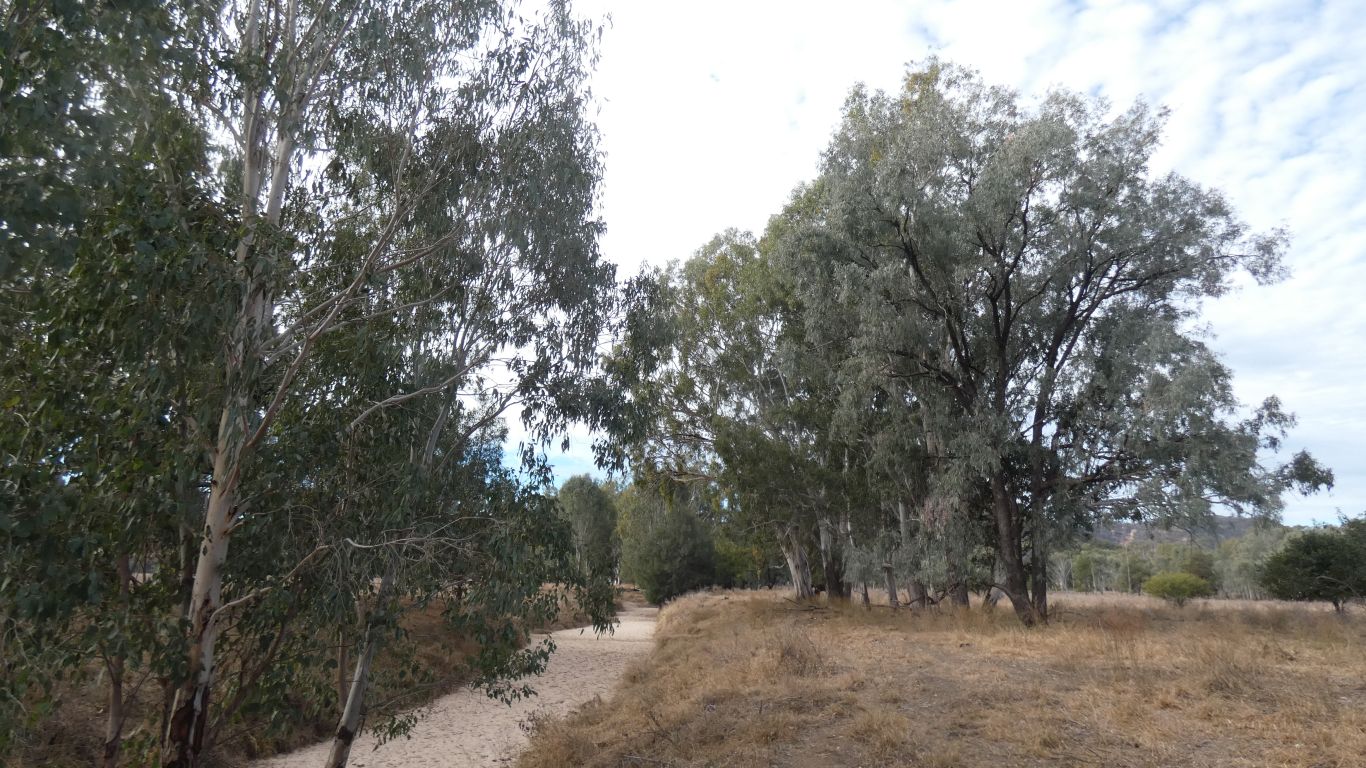
Wide cattle tracks all the way, spoiled for choice.

The ridge I climbed on the left.

     
  Many kangaroos. This one didn't flee. Safely camouflaged.
     
  Did I mention that last night we moved camp. A couple of km nearer to where our walks seem to start from.

Also there is rain forecast. Estimates vary between 5 and 100mm. Apparently if the lake fills the causeway across the isthmus is covered.

     
  We are rewarded with a Nankeen Kestrel hunting.

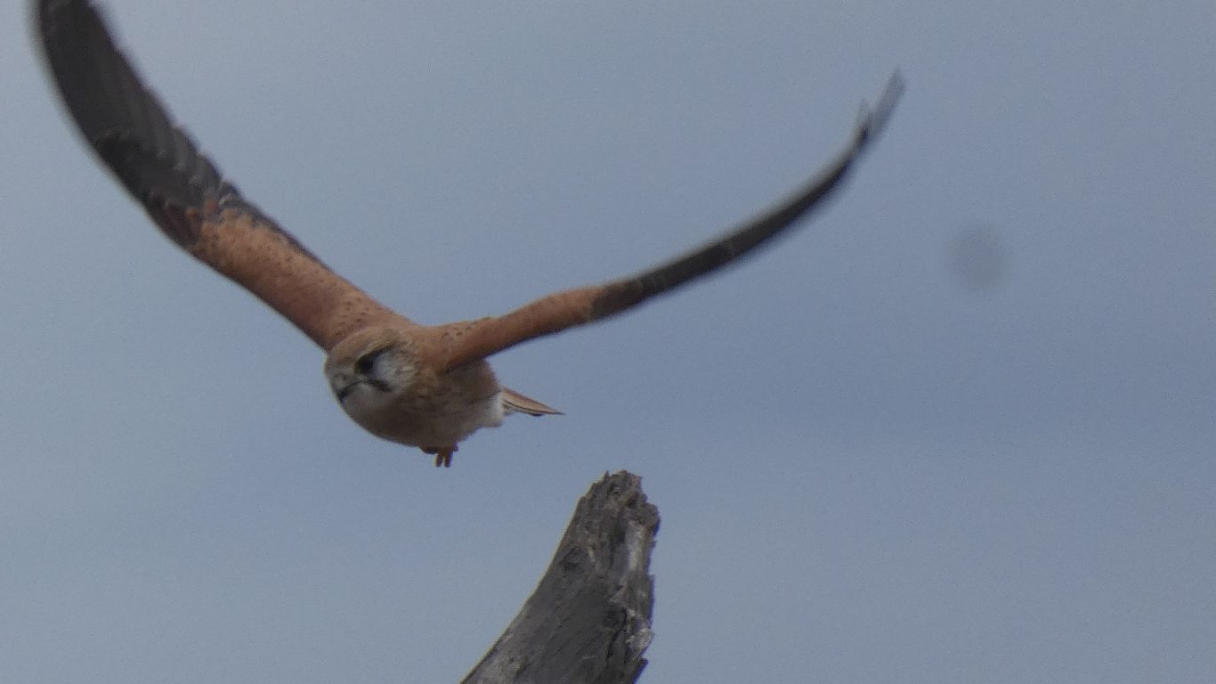
It perches on top of a dead tree, takes off towards us .....

     
  ..... and hovers, before dropping rapidly to catch whatever prey it has seen.
     
  Then returns to the perch. To start all over again.

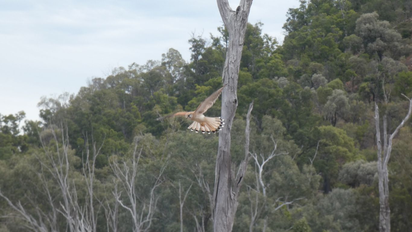
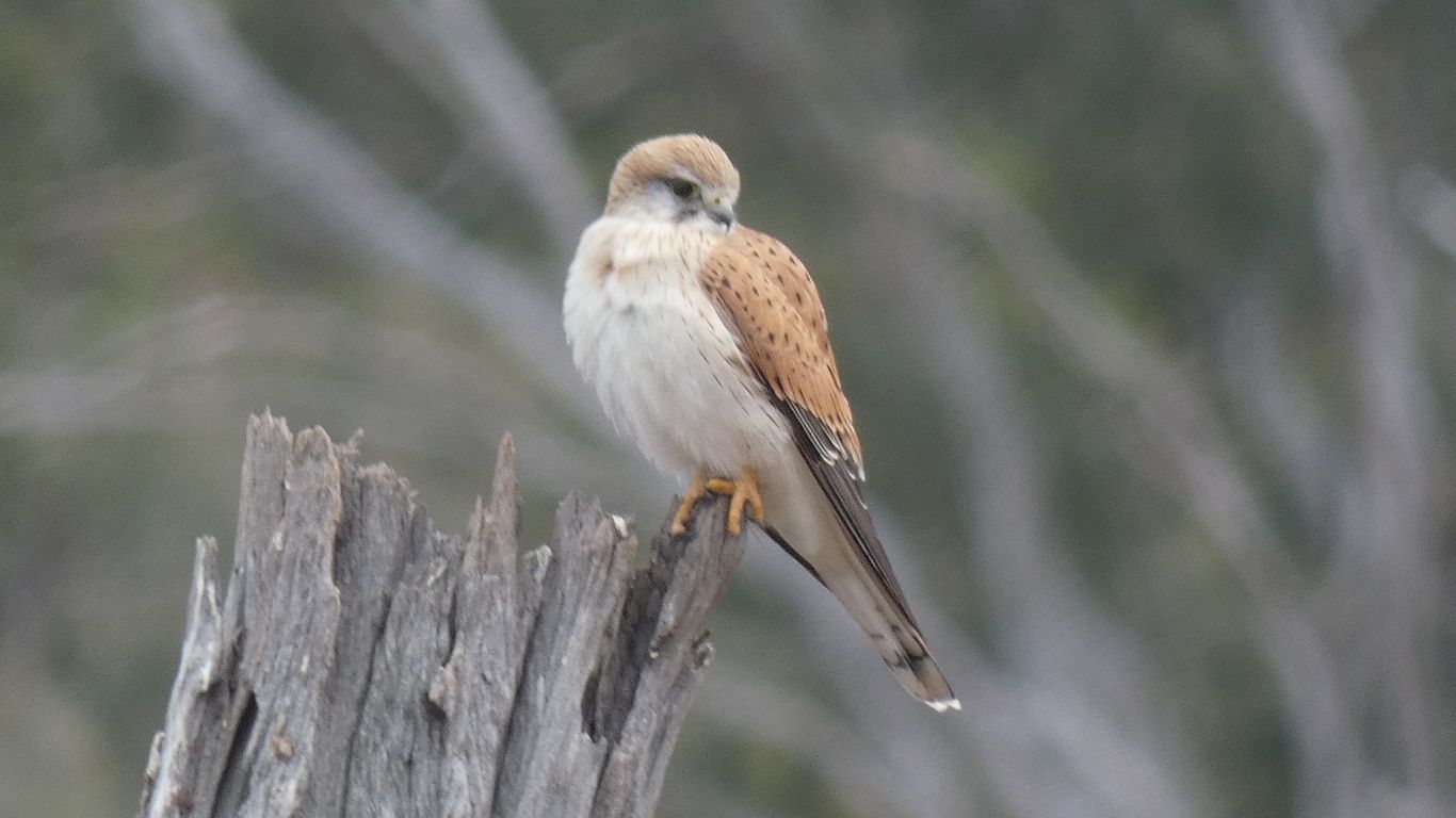
So sleek, and graceful.

     
  Ignored by pale headed rosellas in need of a drink.
     
  Not content with the morning stroll, I really am restless.

Another walk west along the shore.

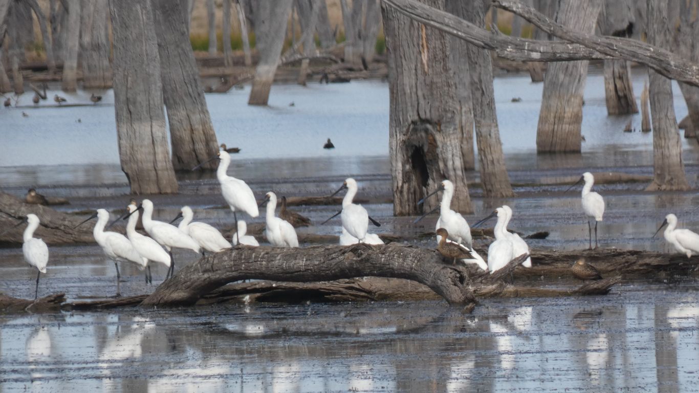
The spoonbills have moved a bit, but not far.

The cattle had moved further away, and obliging walked even further as I approached. Either I or they are a little bit trained.

     
  This time a few pelicans nearby.
     
  As far as I reached.

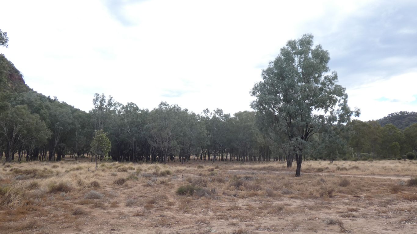
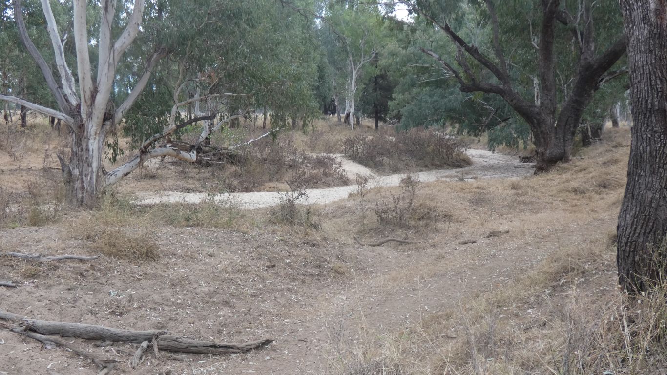
I headed inland, away from the lake.

     
  Until I reached Moolayember Creek, the boundary of the park. With large trees. Perhaps river red gums.
     
  And perhaps brigalow.
     
  I took a short cut, a straight line to the corner of Mt Warrinilla.

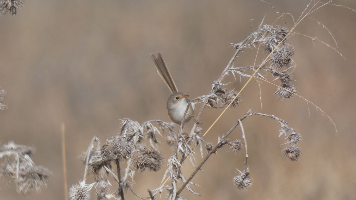
Just a glimpse, but the camera was ready for the wren.

     
  And 2m from the wren I nearly assumed another wren. But it wasn't as flighty as a wren.

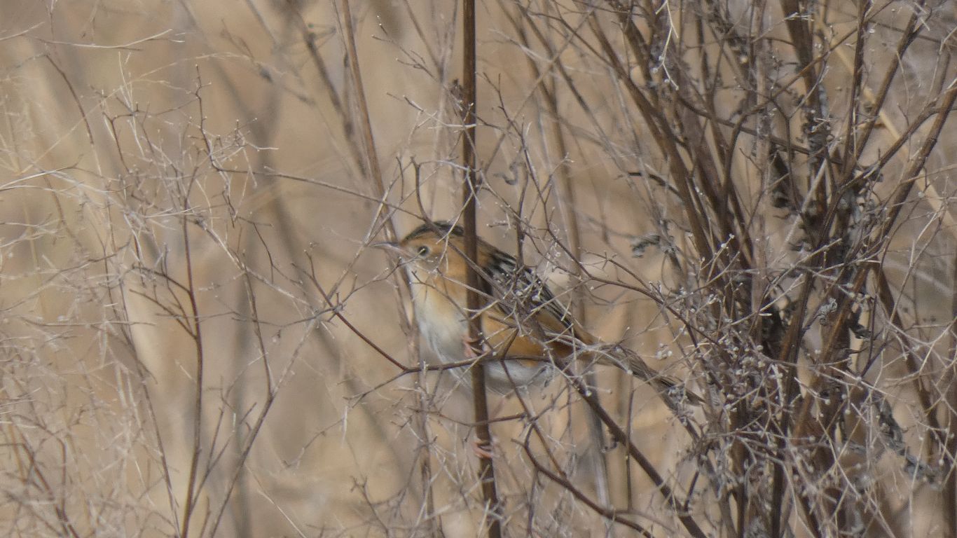
I rather think it may be a golden headed cisticola. If only because its in the right place and we can't match it to anything else in the bird book.

I haven't quite decided if there really is a greater variety of birds here or I am better at seeing them with my new eyes.

Perhaps both.

     
  I return to our new campsite, about 500m from the western end of the road.
     
Nuga Nuga National Park - All Good Things … July 3 - 5 2023
     
Gateway
CommentsHome


Sorry, comments closed.