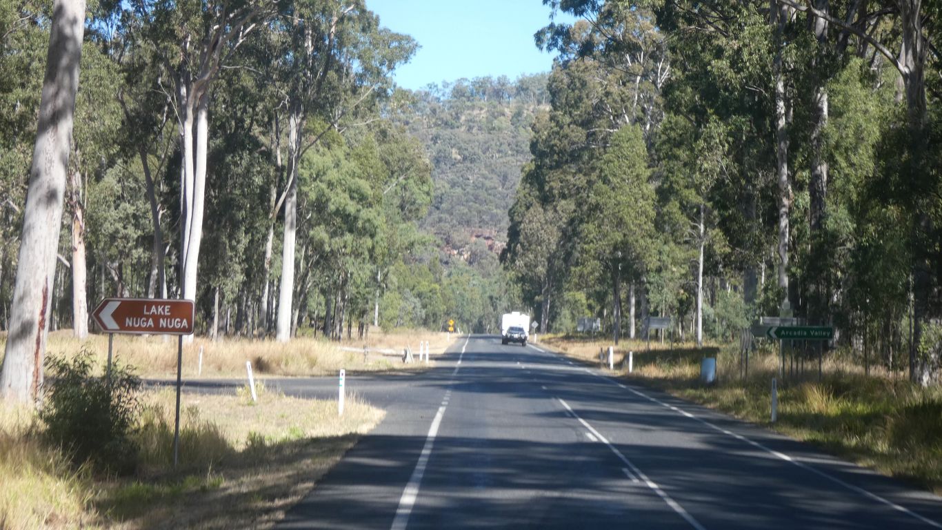
Perhaps not quite. Though we can either go straight on, along the Carnarvon Highway, or turn left on Mulcahys Road towards Arcadia Valley Road.
With the exception of the bit between here and Arcadia Valley Road we've traveled both.
We turn left.
Perhaps time to mention caravans again.
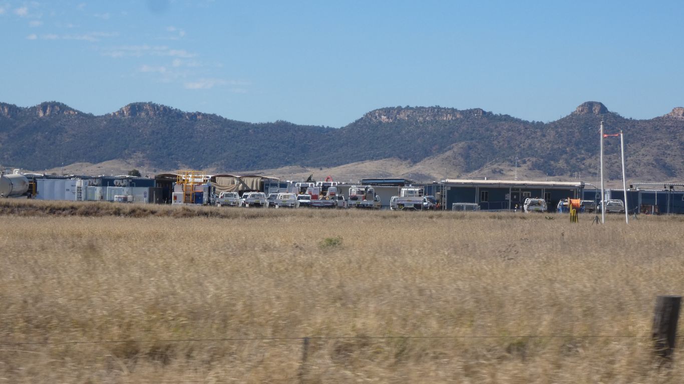
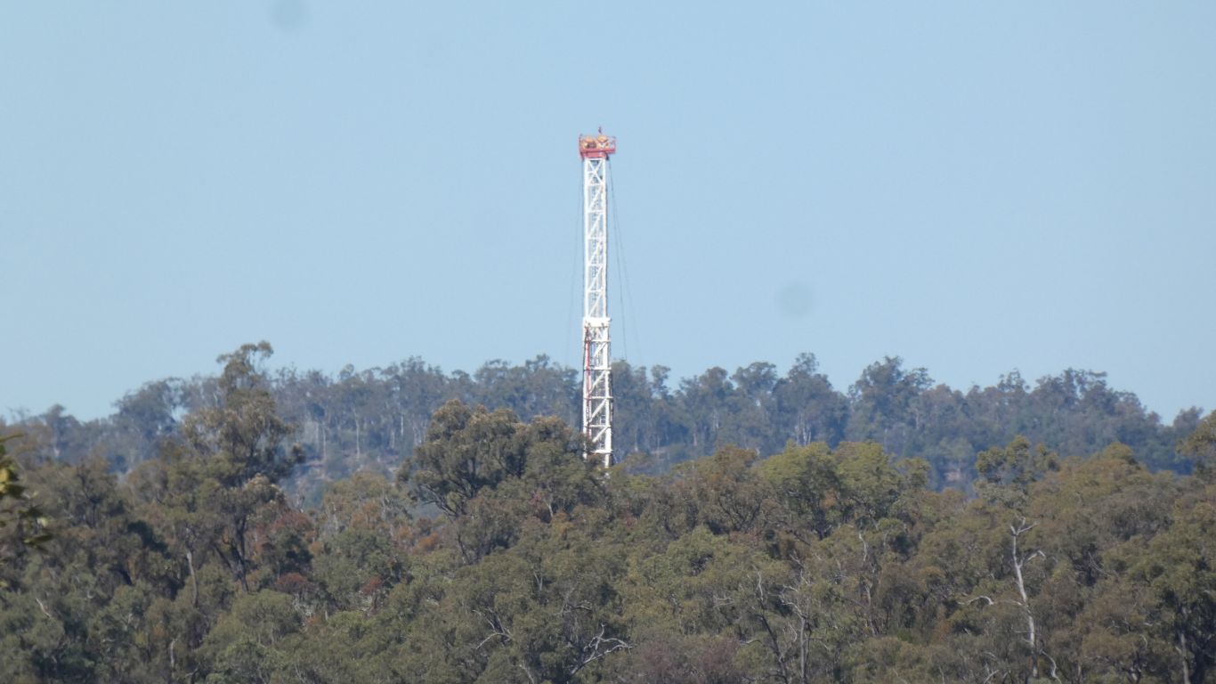
Coal seam gas.
This is one of several camps we encounter.

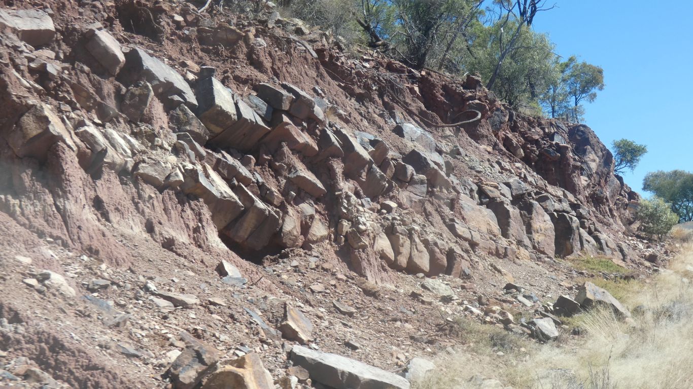
This is Beilba Road.
It leads to ...... Beilba.
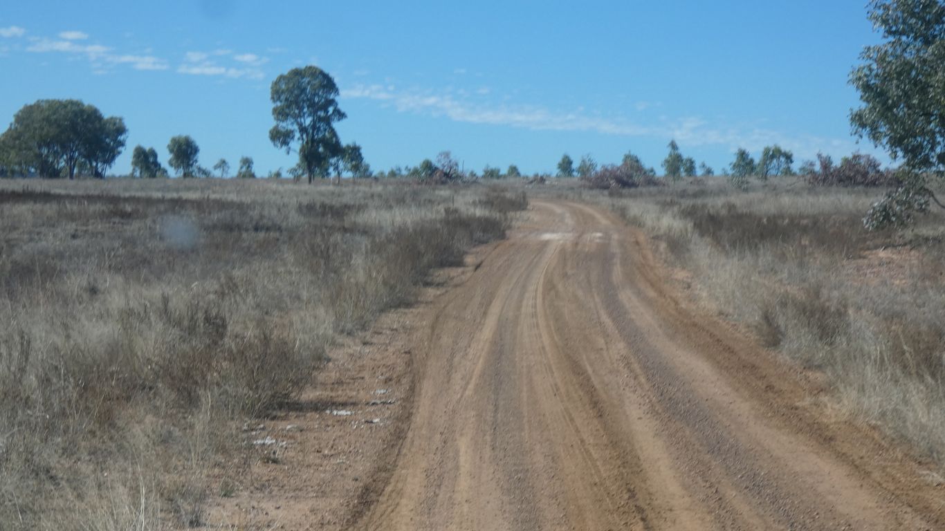
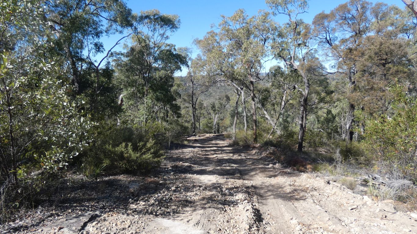
Though its been graded recently. We think Santos at work again.
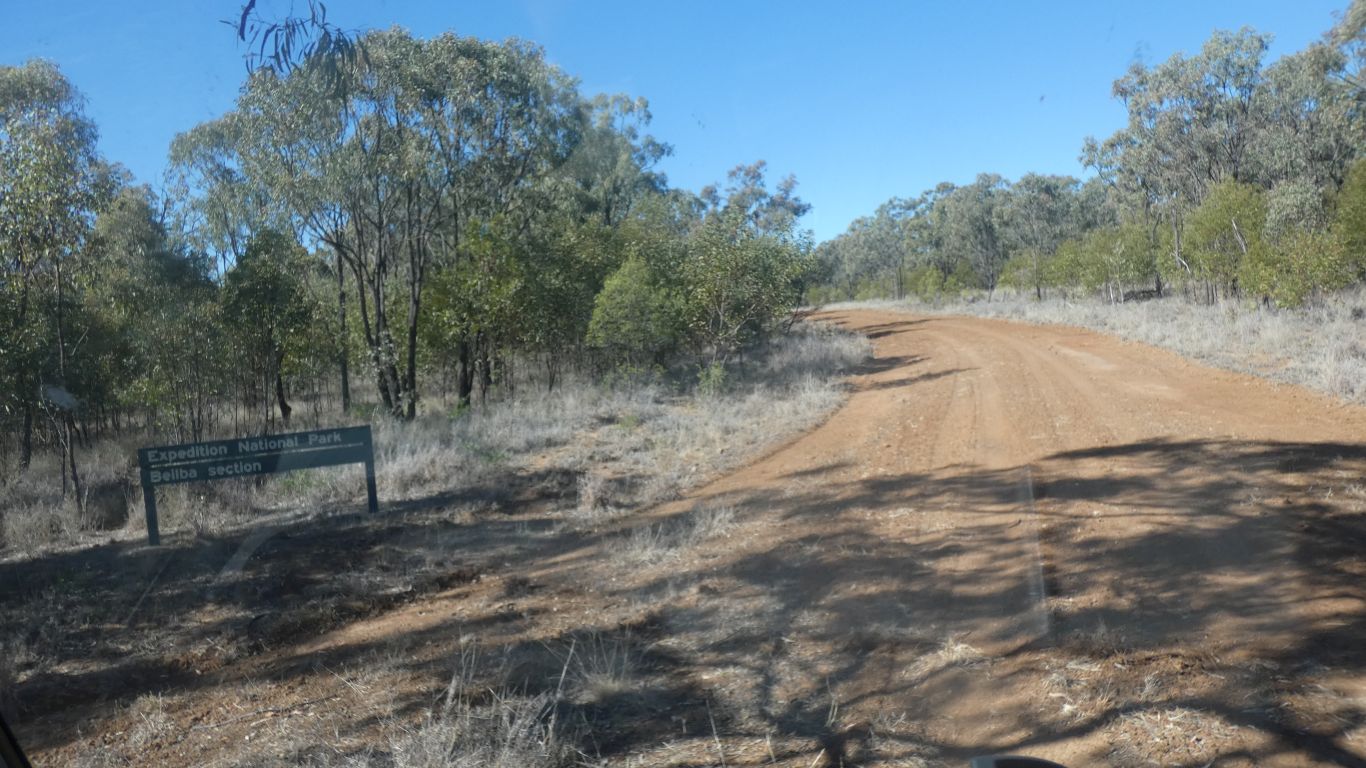
A marked improvement in road. I guess Santos grading and no farm traffic.
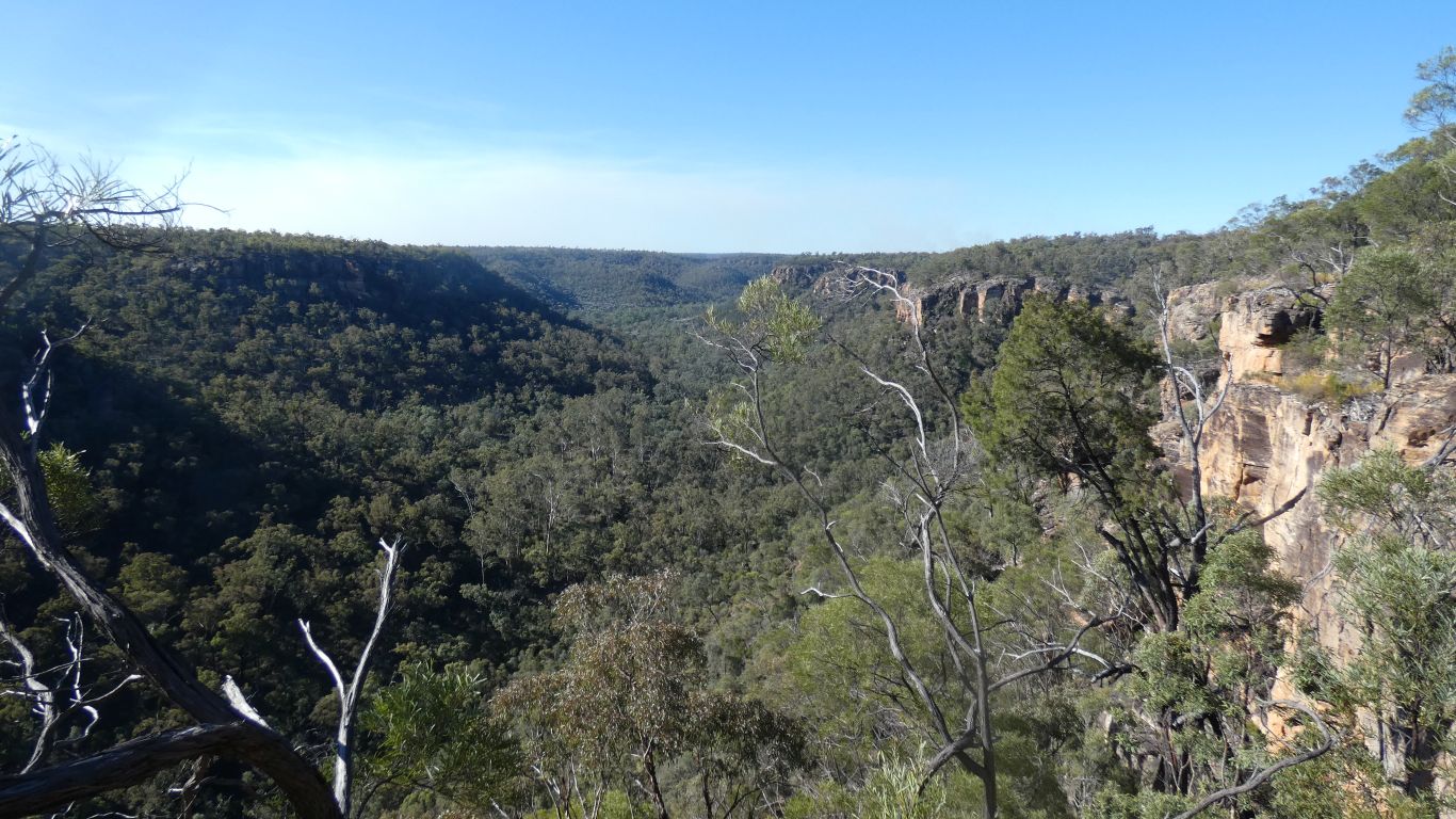
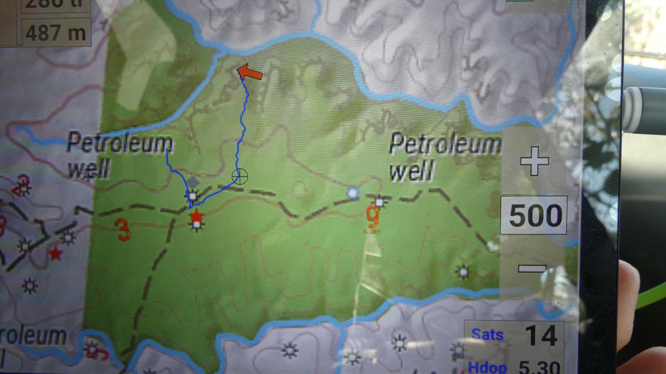
Having studied the map I knew we should be overlooking tributary of the Dawson River.
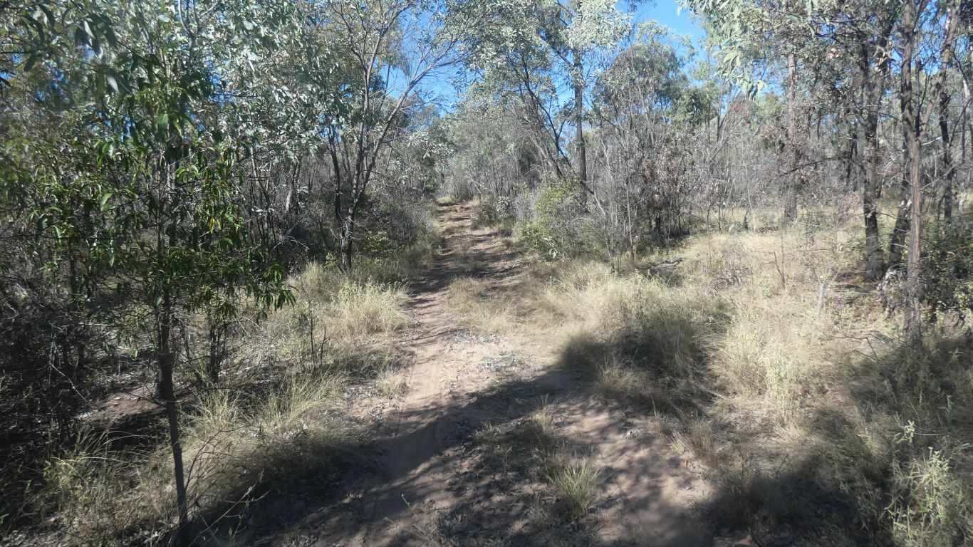
A vague track through the trees, 130m north east of the camp, and be careful not to fall off the cliff.
If I had walked west I would have been looking at a tributary of the tributary, and not be able to see much through vegetation.
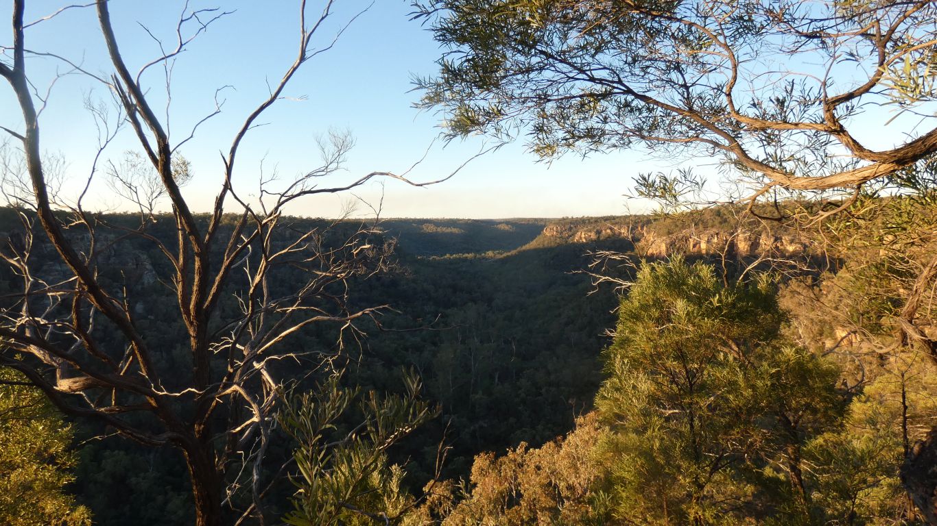
The tributary we are looking vaguely north along joins the Dawson in the distance. A couple of km.
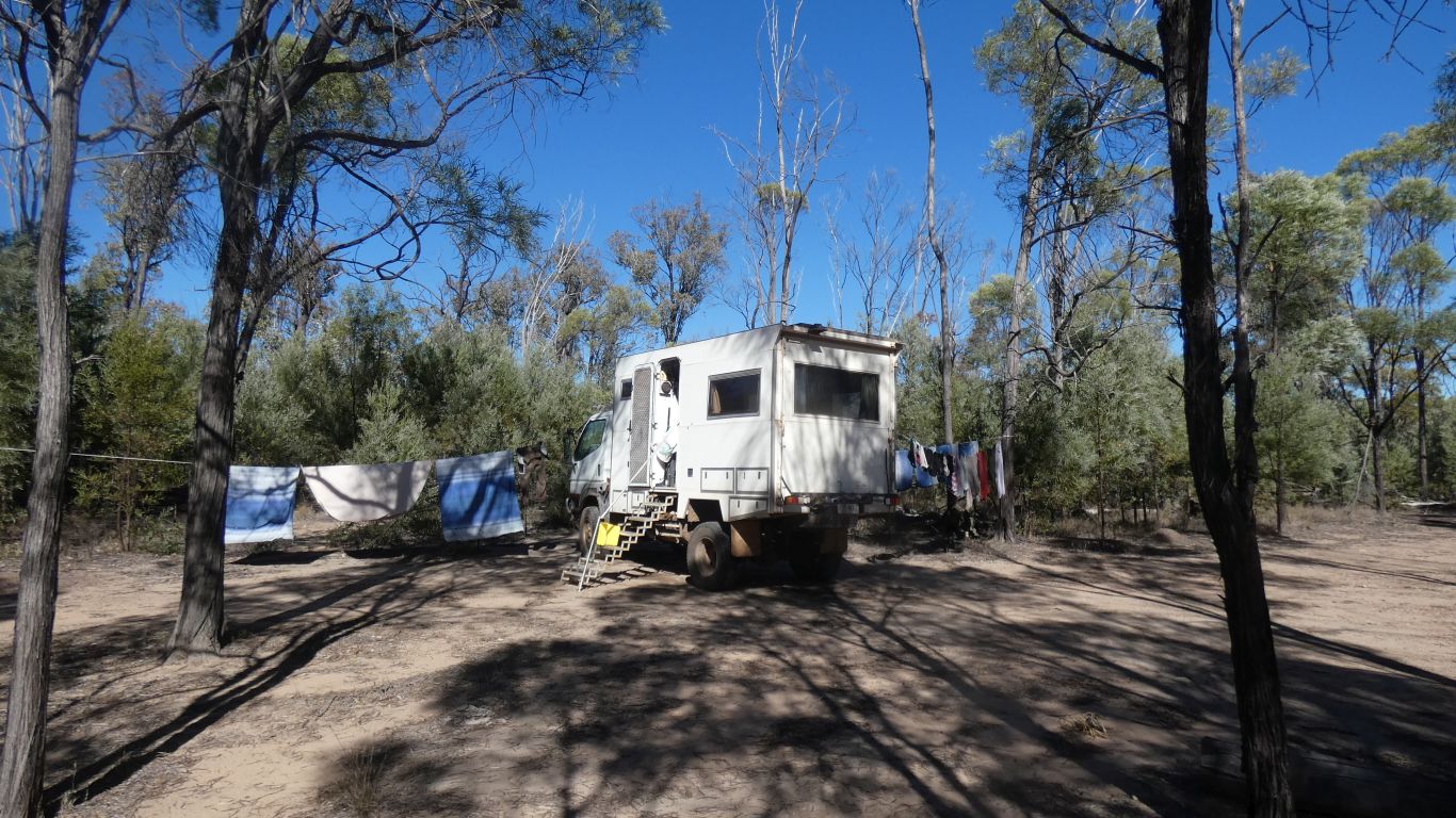
First, the truck performing washing line duties.
Looking back towards the camp.
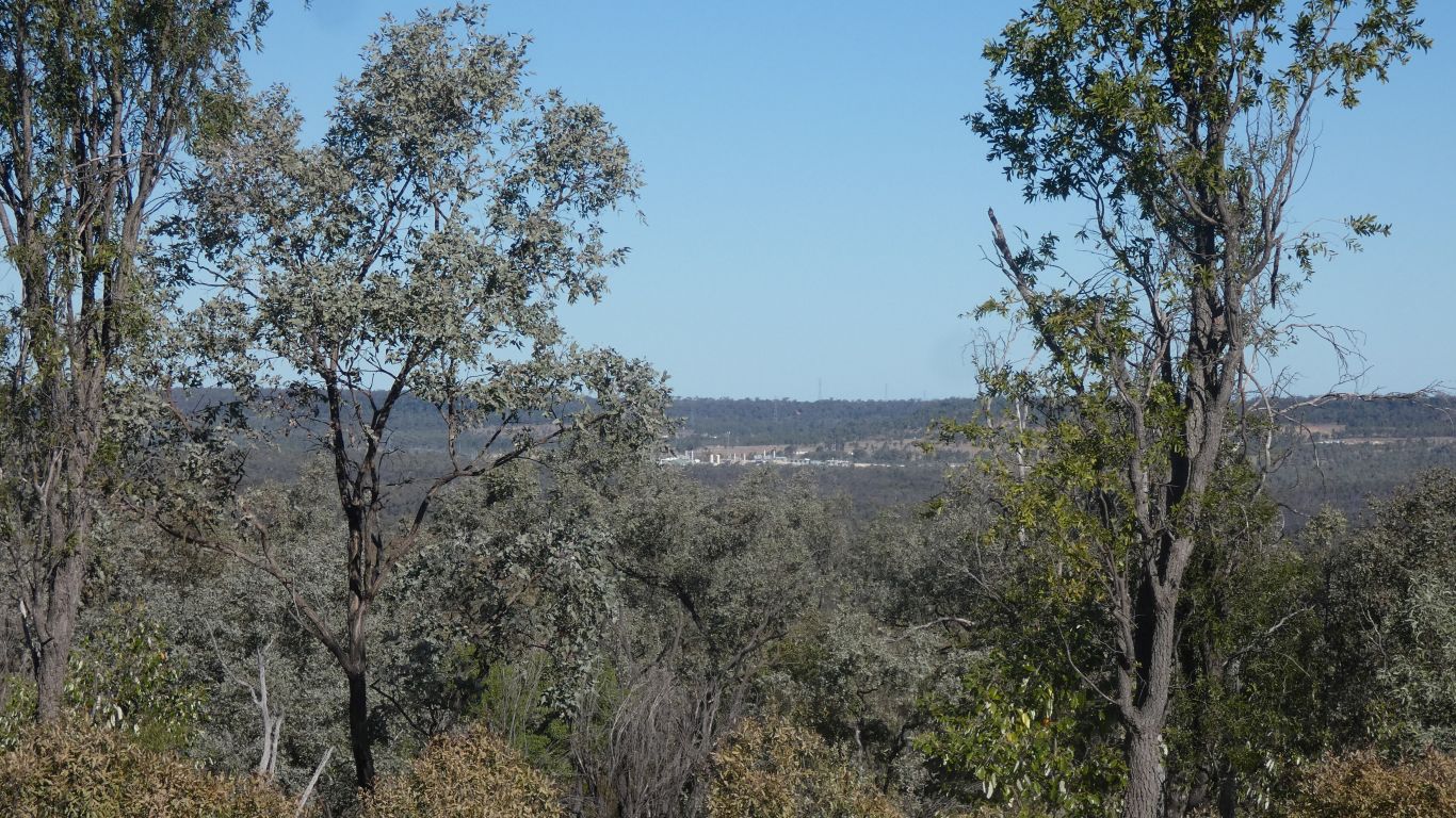
The Santos camp to our south, on Fairview Road, outside the park.
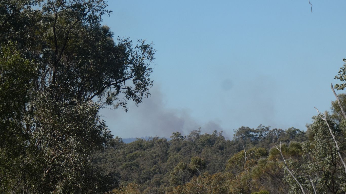
What a time to discover the fire warning apps on the phone no longer work as they did a couple of years ago.
Fortunately good mobile signal so downloading easy. But what a lot of messing around to find what is current.
After all that, no warnings associated with the smoke.
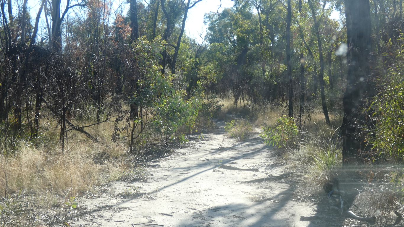
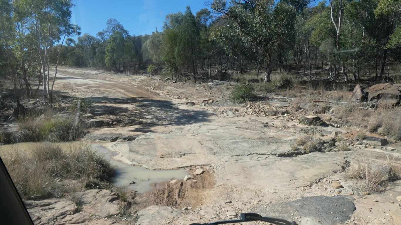
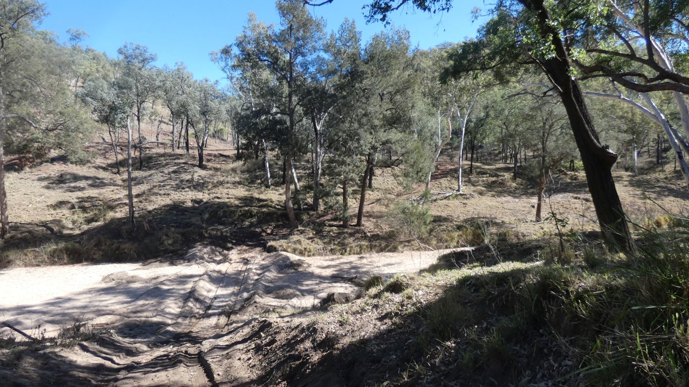
The track running north to it hasn't seen a vehicle in a long time, but is obvious in a satellite pic. Perhaps drivable.
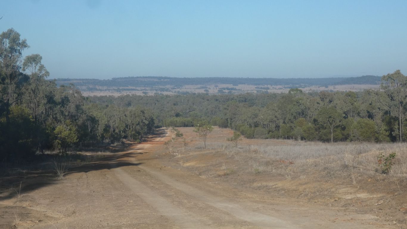
If we couldn't have driven we would have walked. Such was the promise the landscape held.
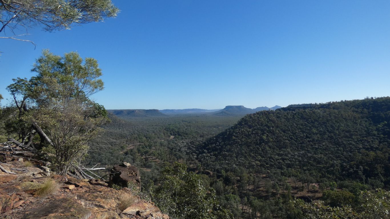
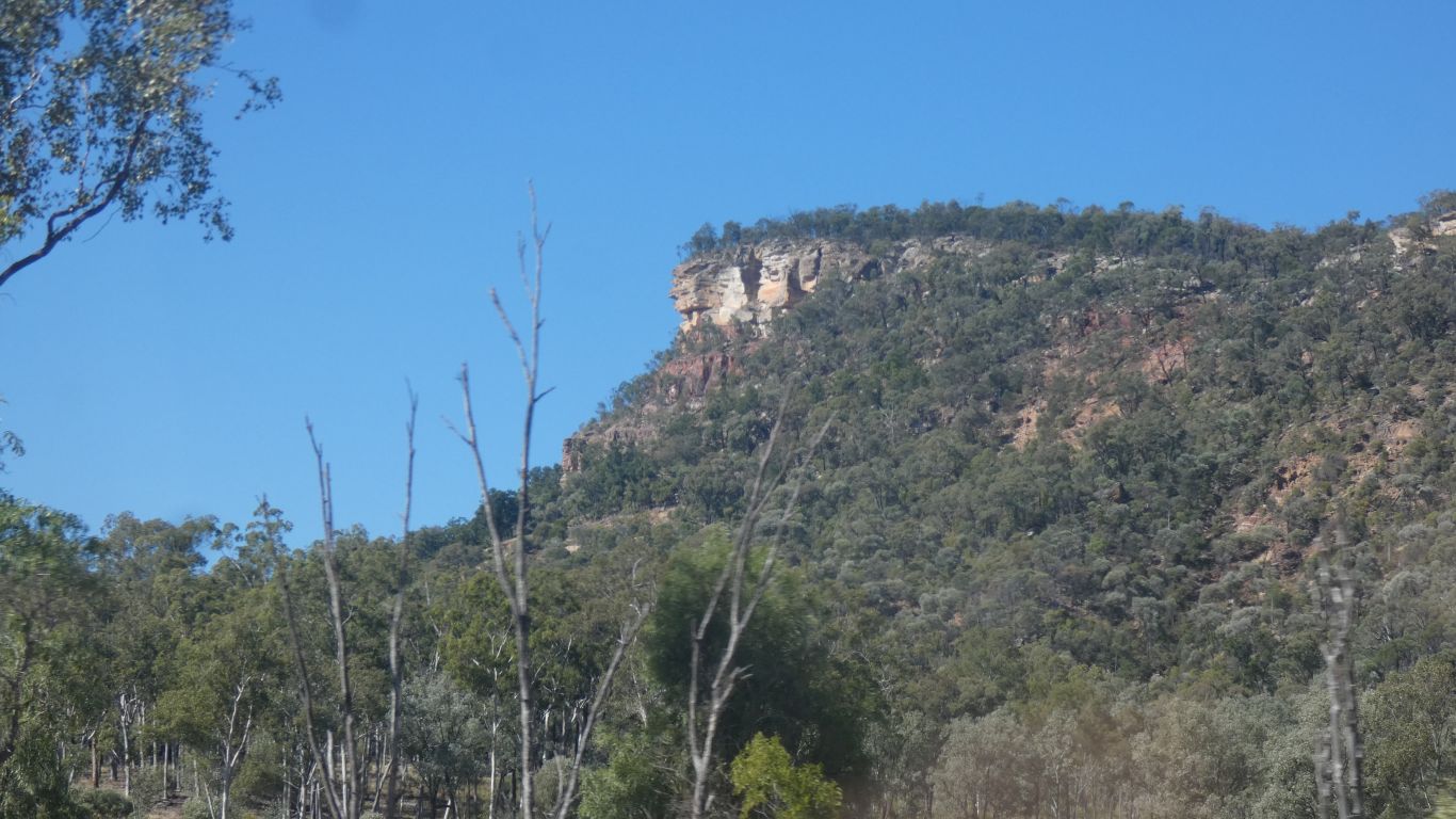
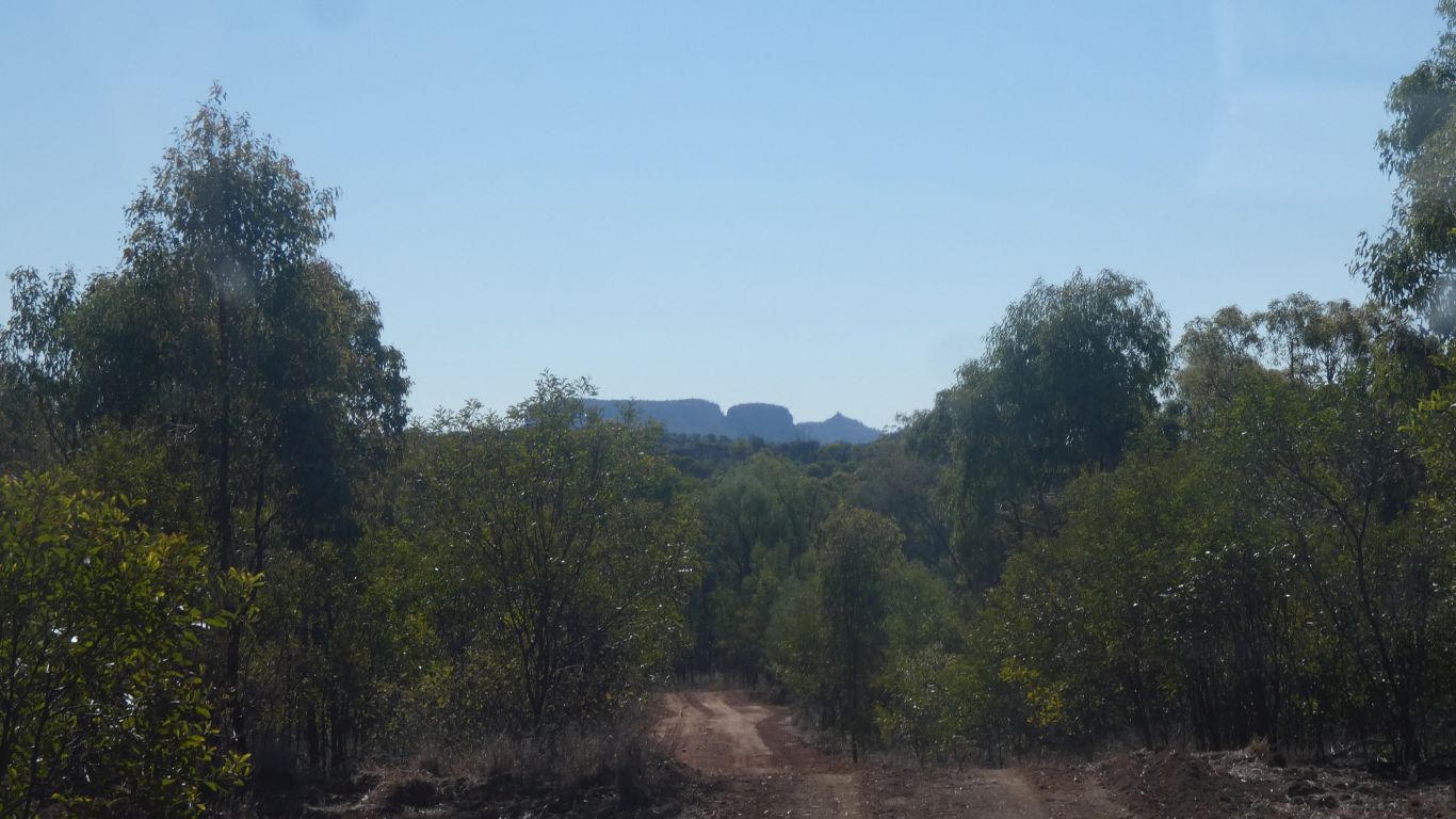
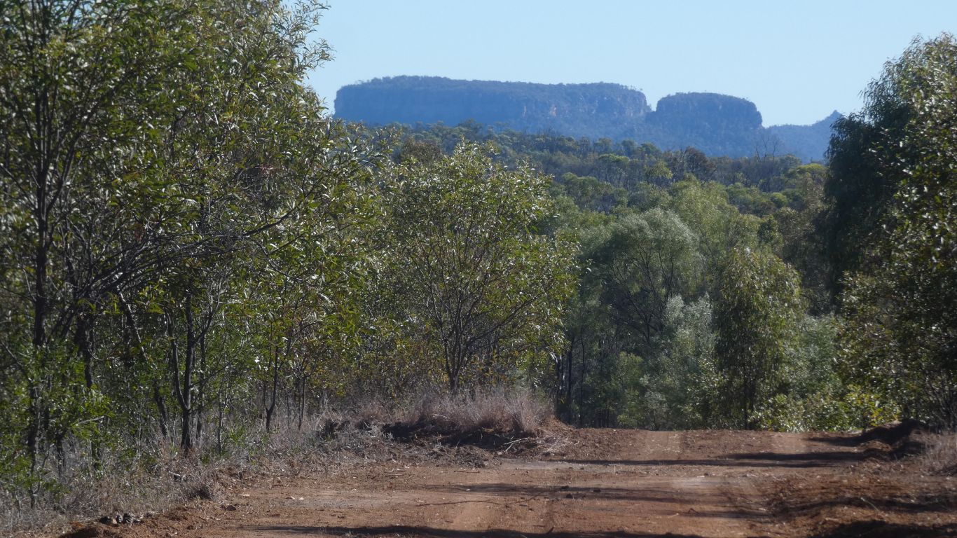
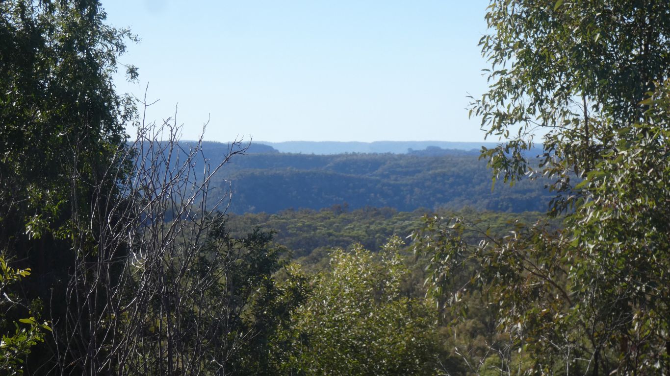
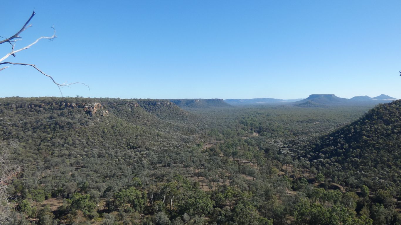
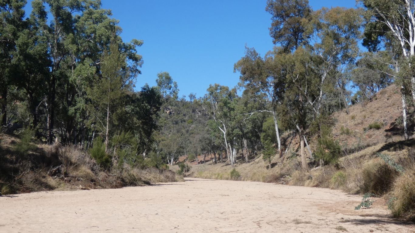
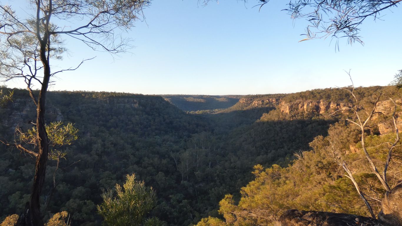
Looking upstream, westwards, along the Dawson River.
The flat topped mountain about centre in the pic is the same one we looked at when in Lonesome, just from the other side.
In the distance is the southern part of Arcadia Valley.
Just out of sight beyond the left hand side escarpment is our Lonesome campsite. About 10km away. We could have continued our walk along the river bank from Lonesome and been here before lunch.
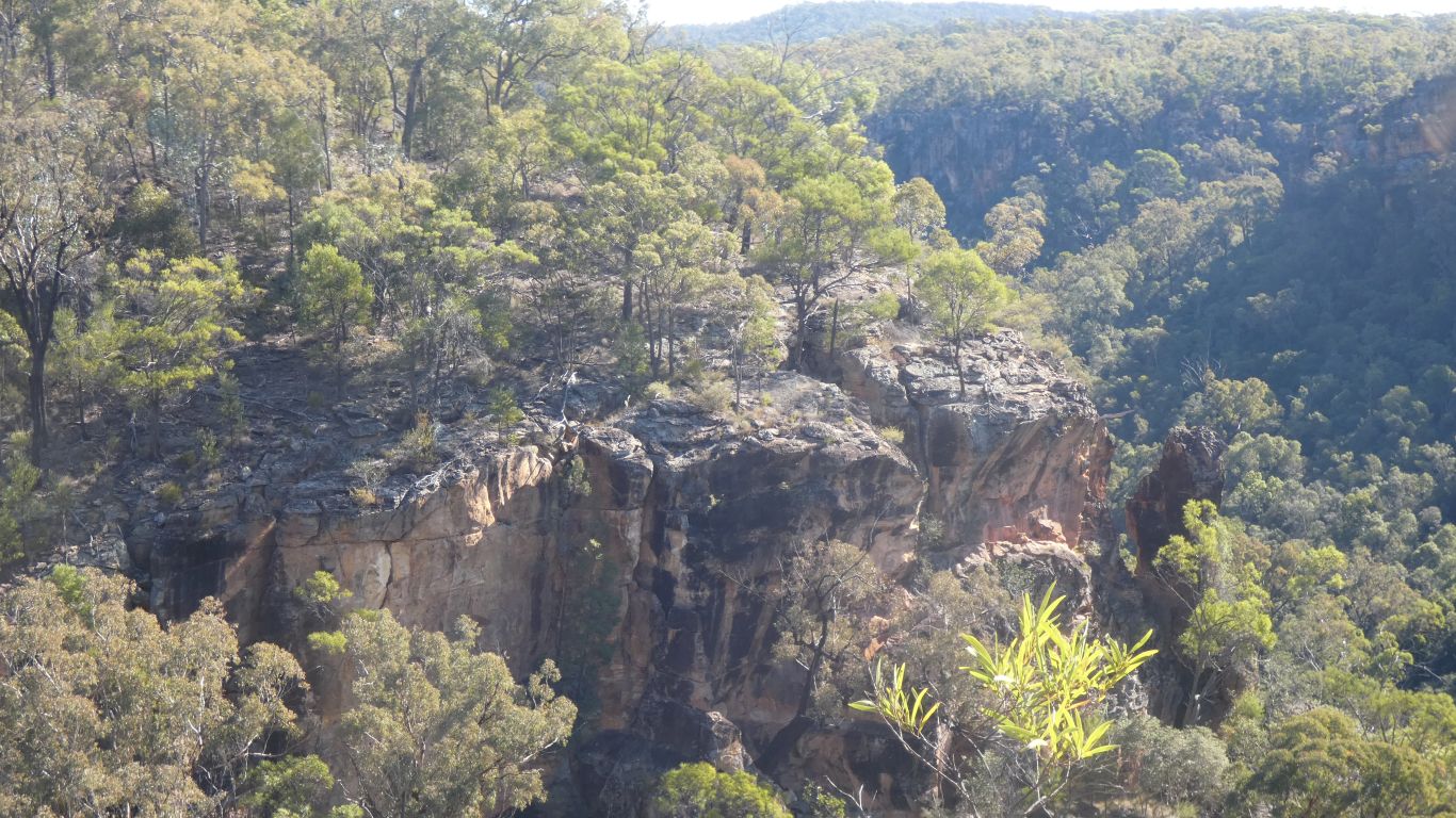
I'm sure there's a way up out of the valley......
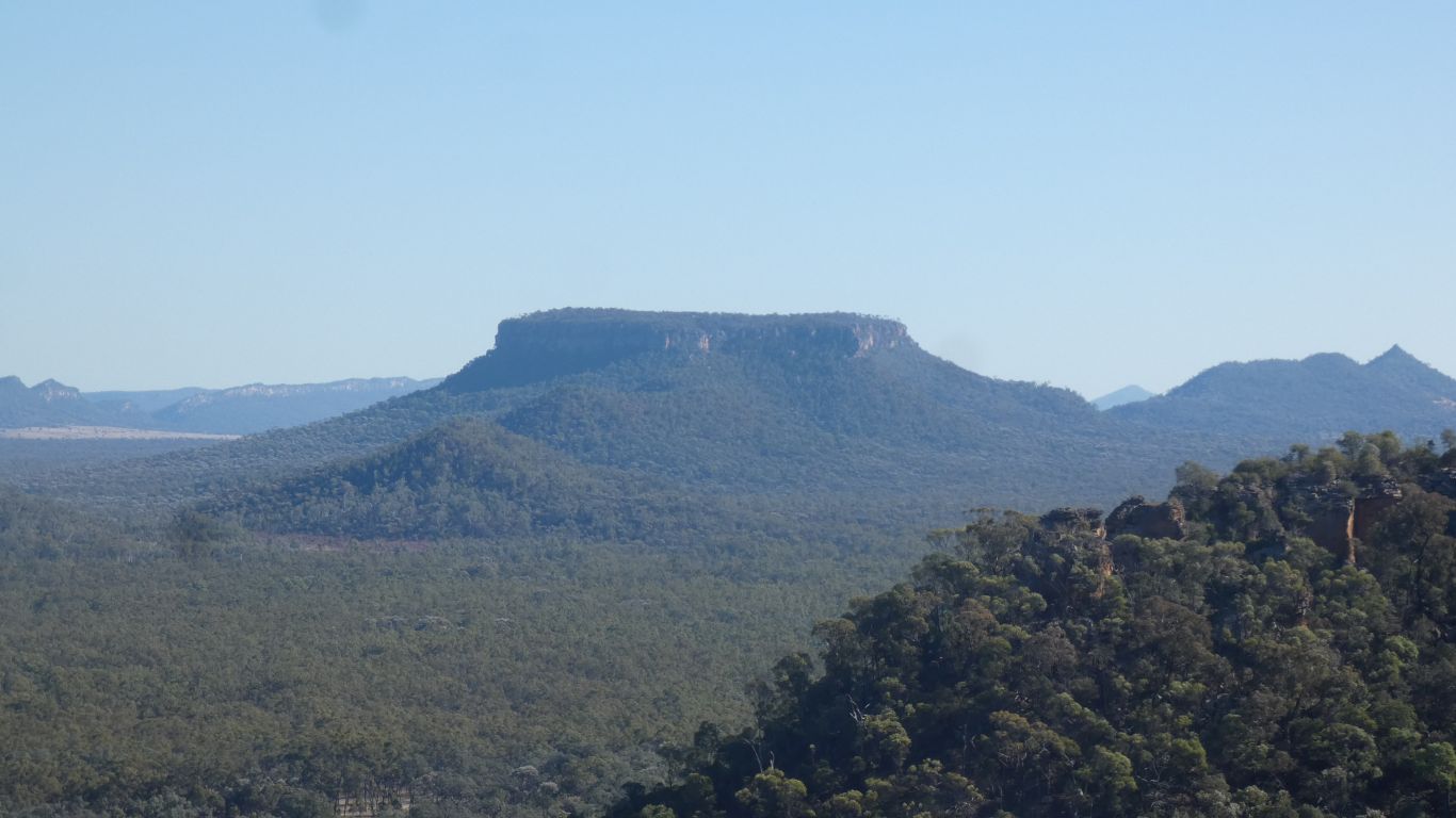
I look carefully, as the map and satellite pic tell me it isn't round.
For a better view ...... !
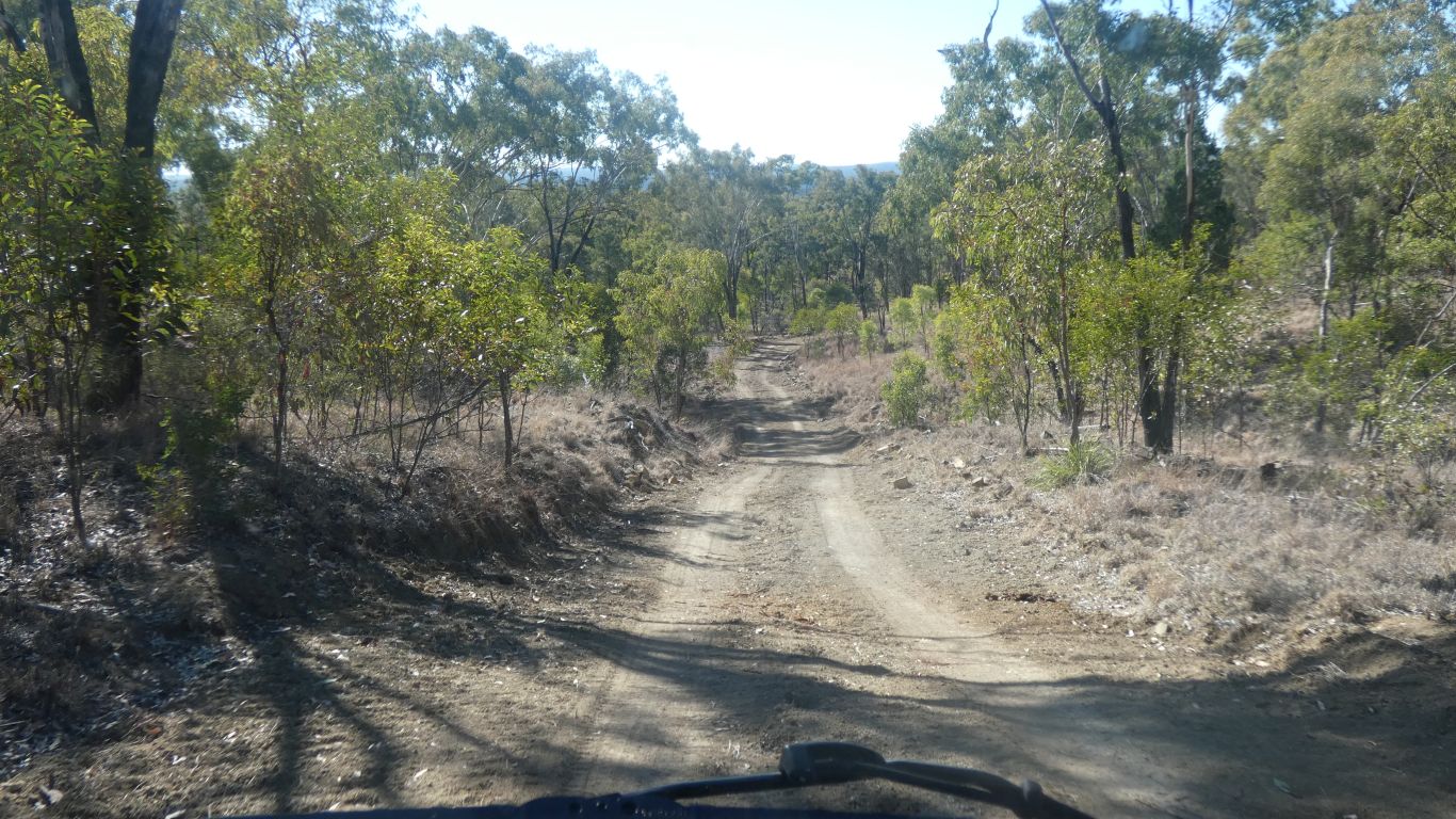
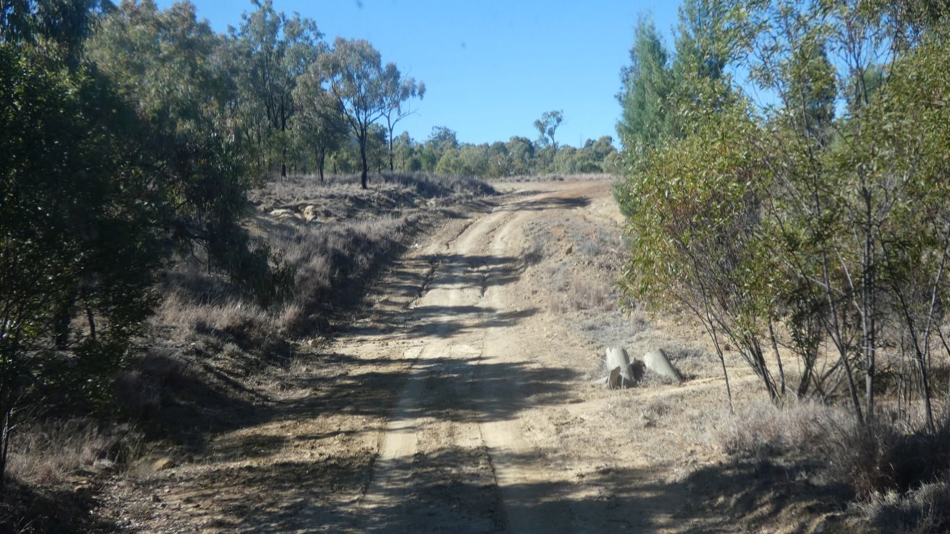
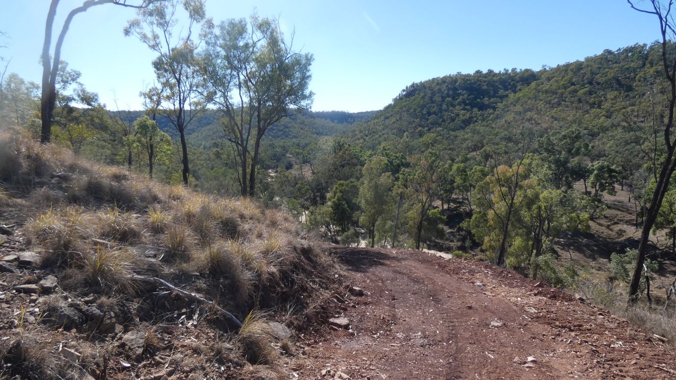
And disappeared over the edge of the escarpment.
The discarded sign, hidden in the bushes, said "4wd only" on one side, and "road closed" on the other.
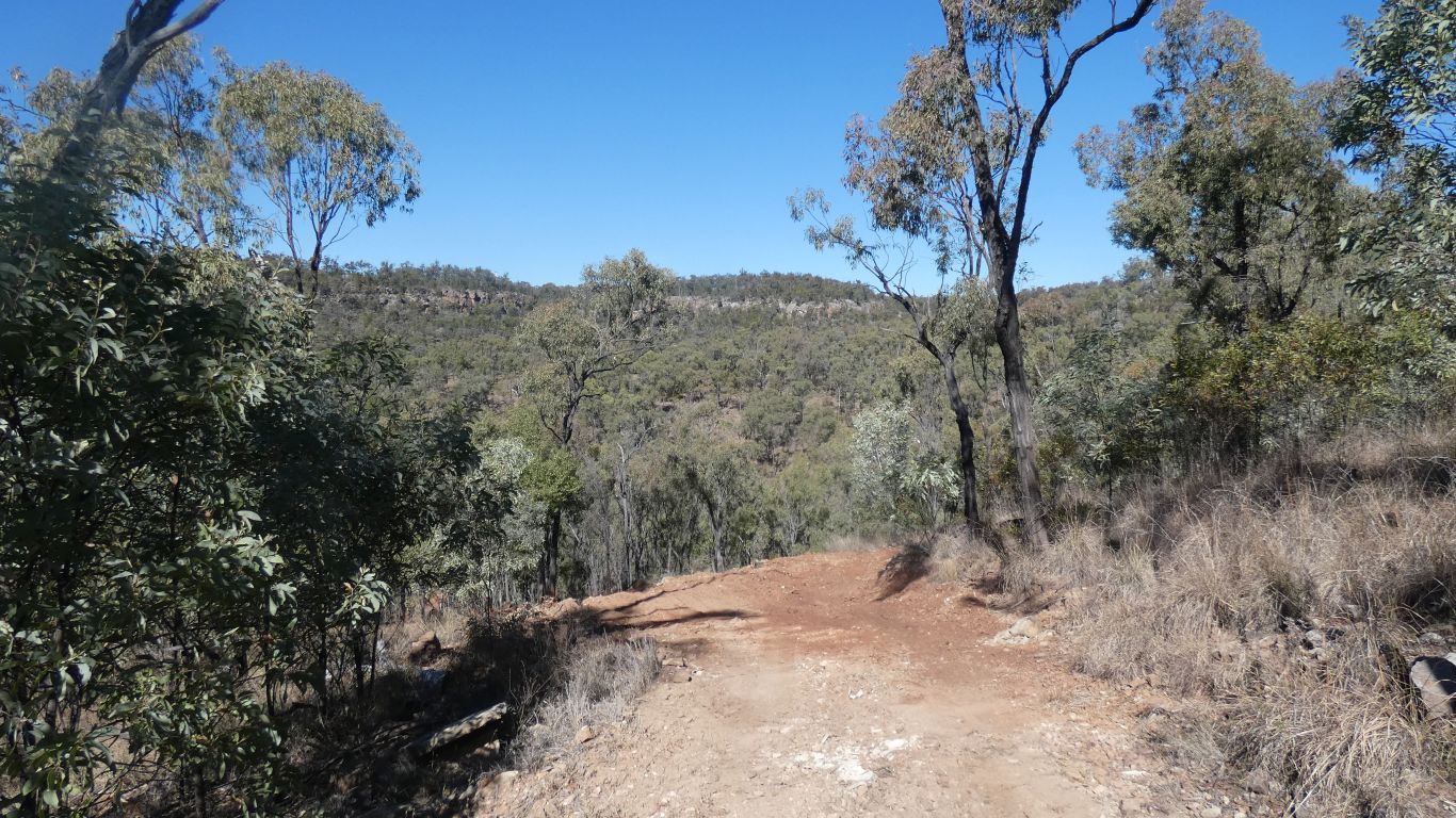
Perhaps 150m down to the river. 20 minutes, the track is a bit loose.
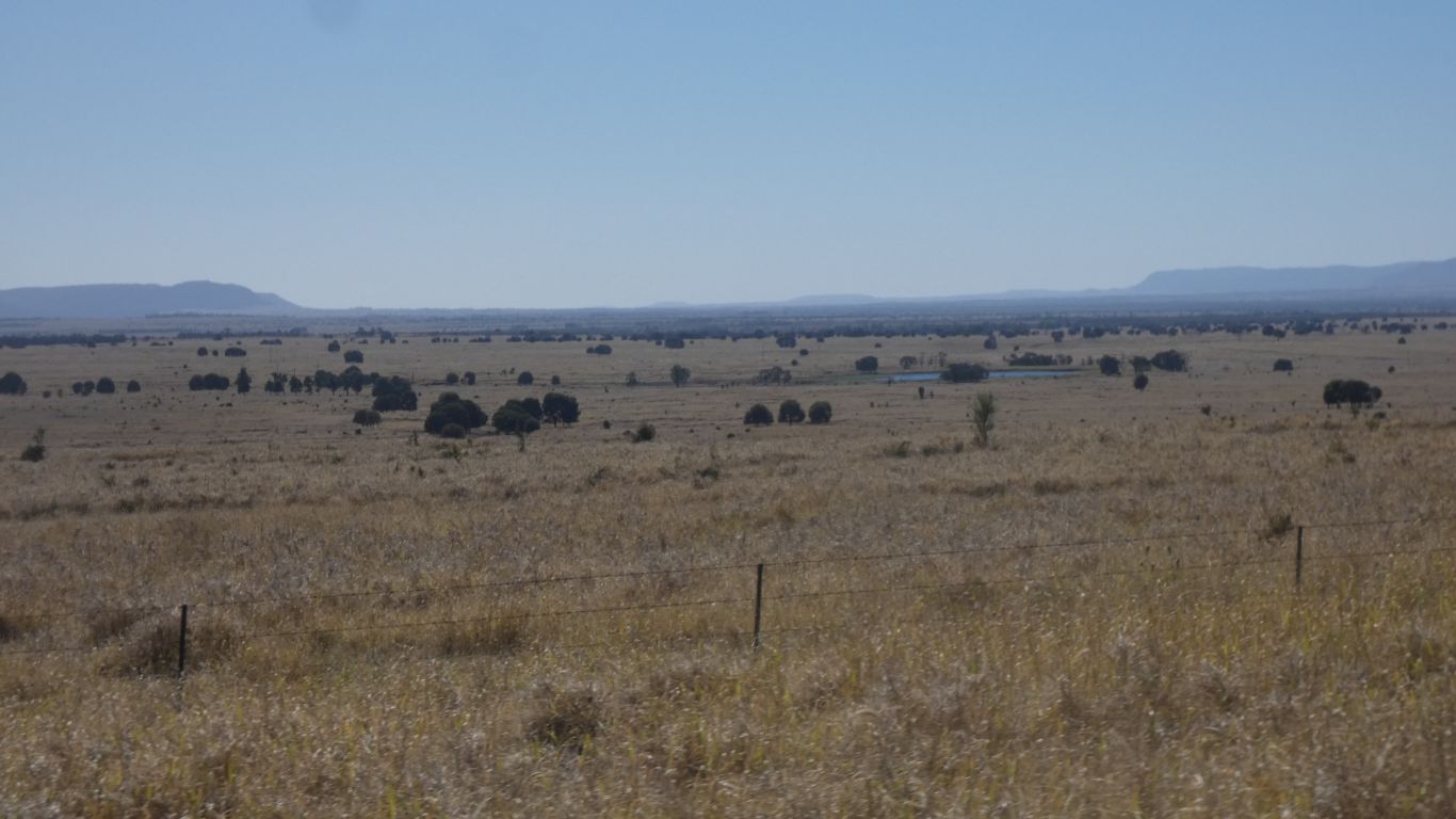
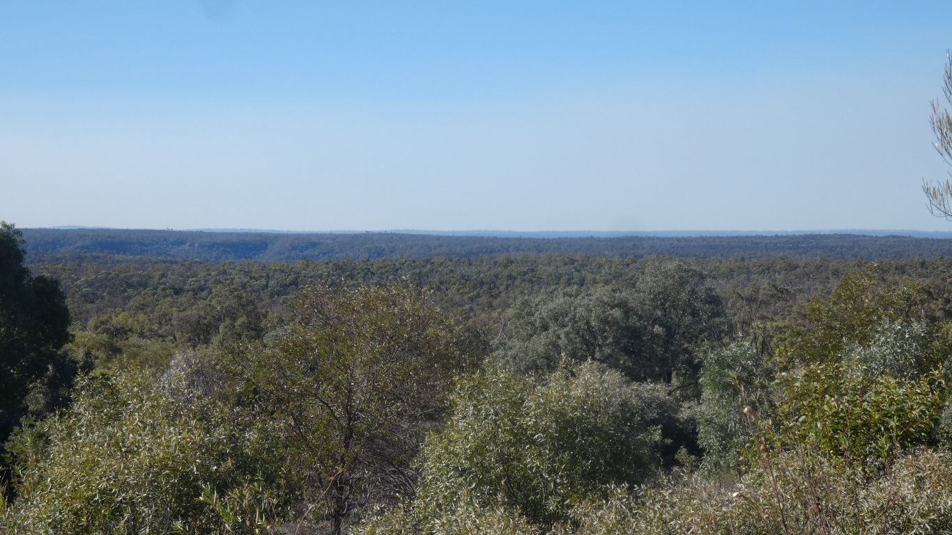
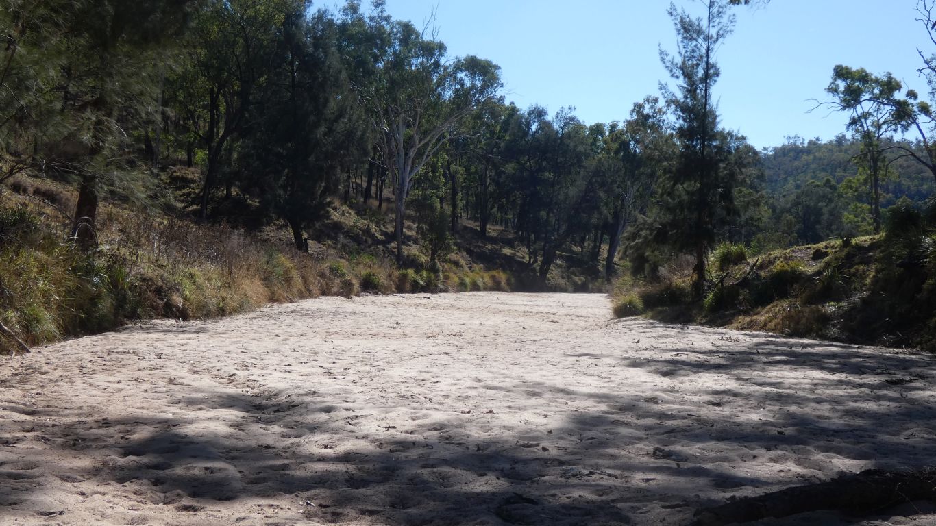
Looking east across the river. On maps the road stops at the river. On satellite it continues on the other side, but stops after a couple of km.
I've checked, and its the same river, just 10km downstream.
Chalk and cheese.
We really are enjoying the country.
This is probably or last sight of the Dawson River for a while. We first encountered at Nathan Gorge. Then Taroom, Lonesome, and now Beilba.
It flows from the Great Dividing Range in Carnarvon National Park, through Lonesome, Beilba, Taroom, Nathan Gorge, then northwards to join the Fitzroy River.
I'm working on a map of the rivers that rise in Carnarvon National Park ..... watch this space.
Its in that space between our part of national park and the bigger part on the other side of the river.
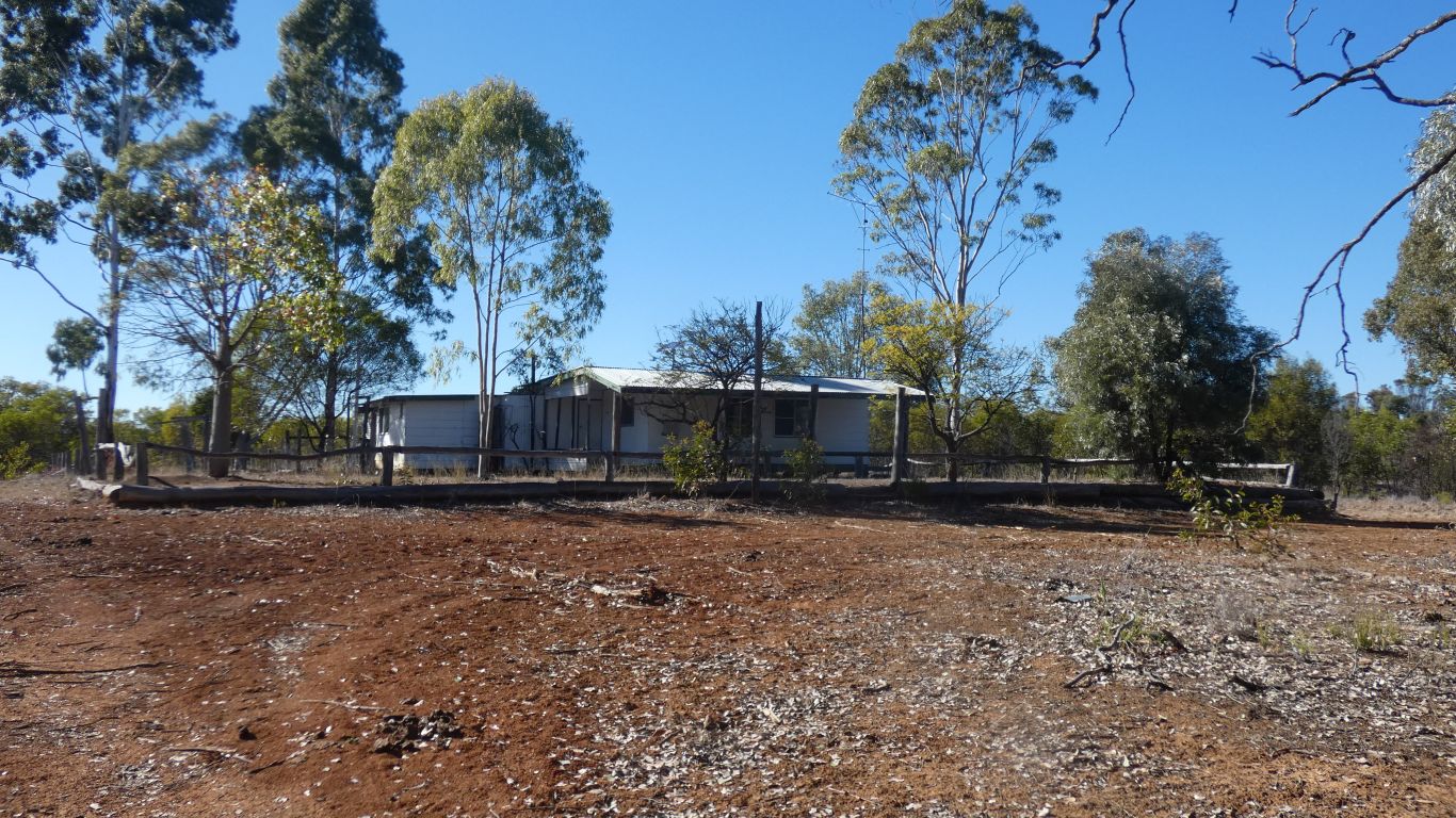
Did I mention that on one exploratory trip around the campsite I found an old long drop. Given the size of the turnaround for the camp I wonder what once was here.
Just in case something has changed ......
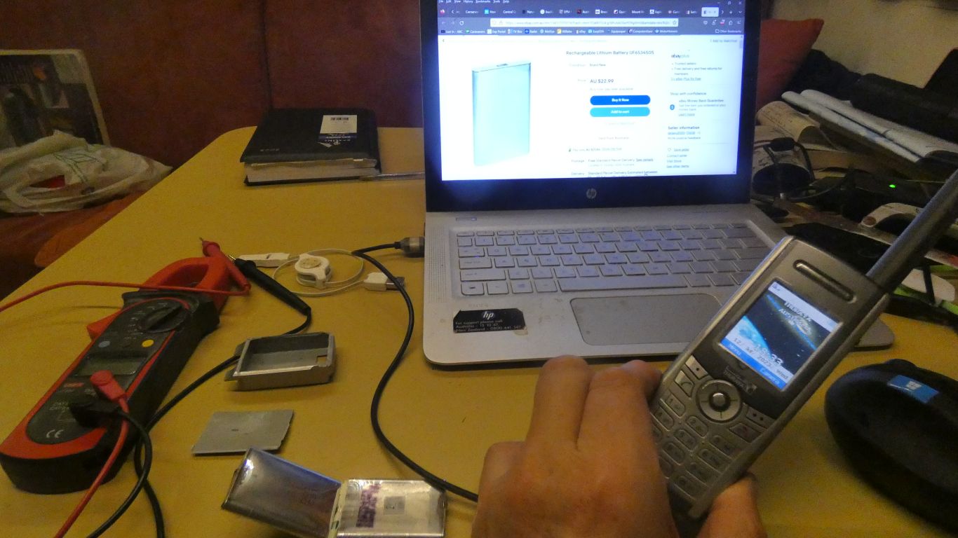
I trace it to a very swollen battery. Which is no longer capable of holding a charge.
The spare battery is smaller. Or should I say normal size. I went out of my way a few years ago to source an original Thuraya extra sized battery, the one that has failed. I've opened the case with the help of a hacksaw.
The spare is also showing its age. It was never really capable, not an original, and now won't make a call - low voltage.
So, this is a usb connection to the charger socket, trying to find the network.
Sufficient to send and receive text messages, not practical for a call.
The very long usb extension that would allow use outside the truck seemed to have too much voltage drop.
Need to be inventive as we are about to be out of mobile reception for about 12 days.
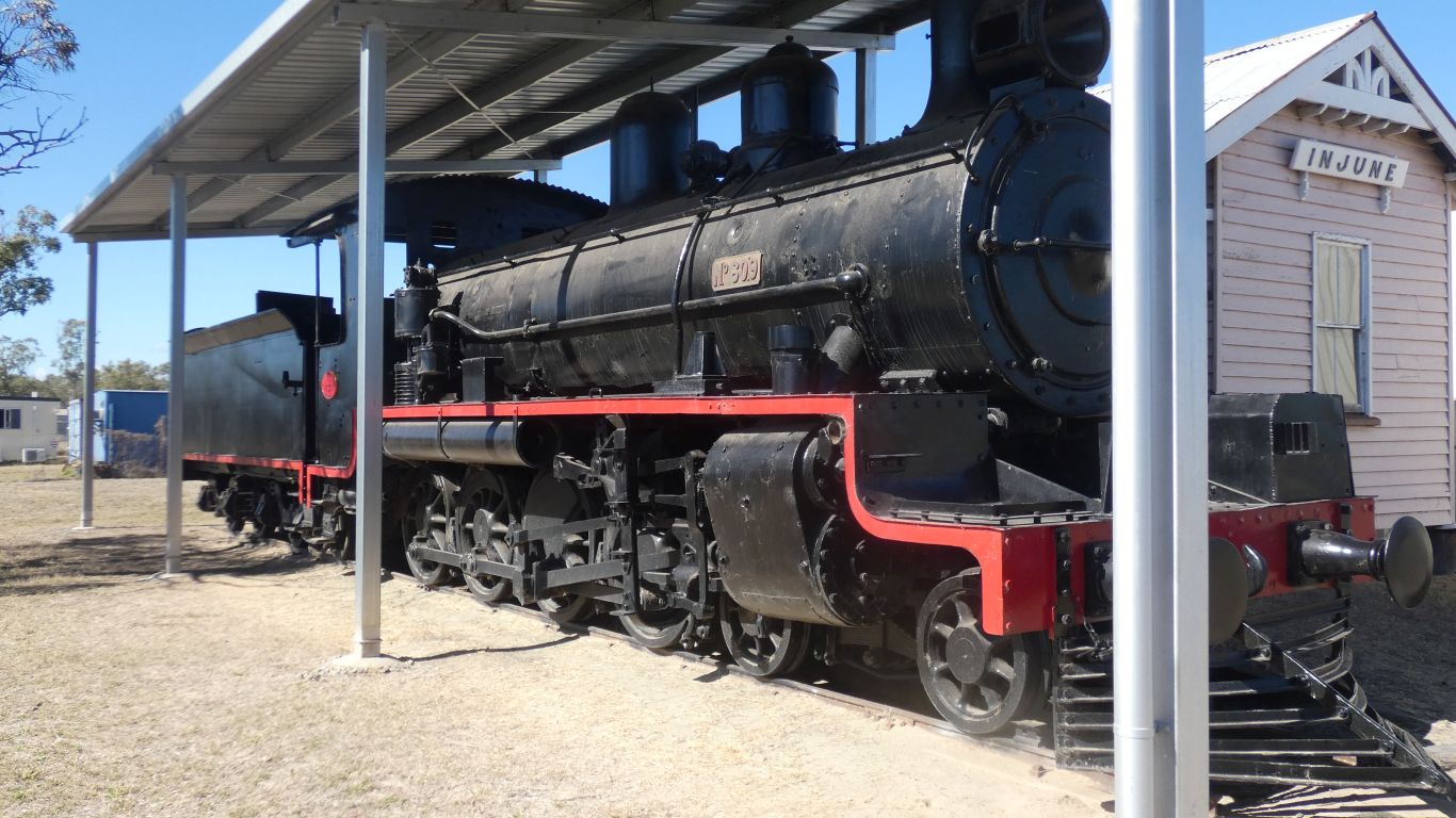
The line about 130km from Roma, to the south.
This is a 4-8-0 loco, with tender. Made in the Ipswich loco workshops (now a magic museum - not a museum of magic, a museum that is magic to visit).
Its 156 off the production line (that's a lot of locos) and number 509 in the Queensland Rail fleet.
The building is the station.
We nearly missed this gem. Lots of interesting info about the line and the people and the trains and the produce and ...
The gentleman doing a bit of maintenance suggested the info office was in the wrong place, down the street a way, so visitors missed his train. And the newsagent promised to look on his way home tonight, having ignored it all the other many times he'd passed it. The hardware store found some small brass washers (possible use for satphone fix) that were about to go in the discount basket - old stock from 2008!

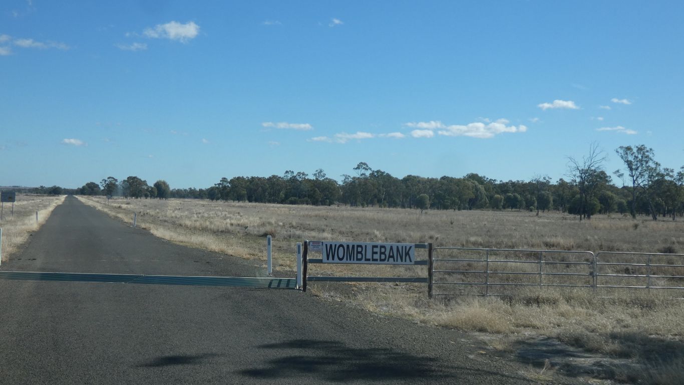
We wonder if there are any Wombles at home, and if they are related to the Wimbledon Wombles.
Perhaps not .....
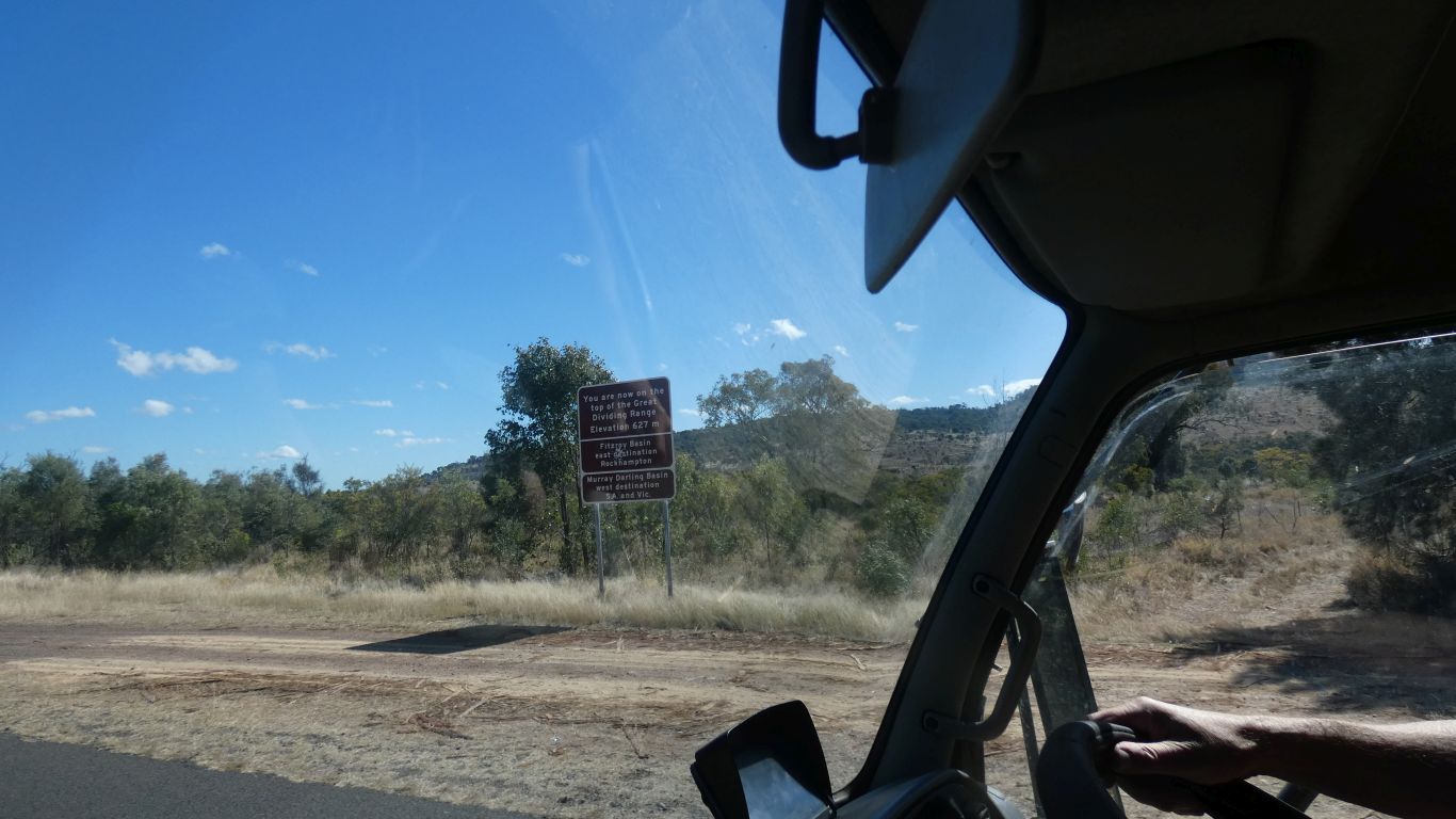
627m.
The Fitzroy Basin (Catchment) behind us, to the east, and the Murray Darling Basin (Catchment) in front, to the west.
Here we join the Carnarvon National Park Road.
Heading north, towards Mt Moffatt.
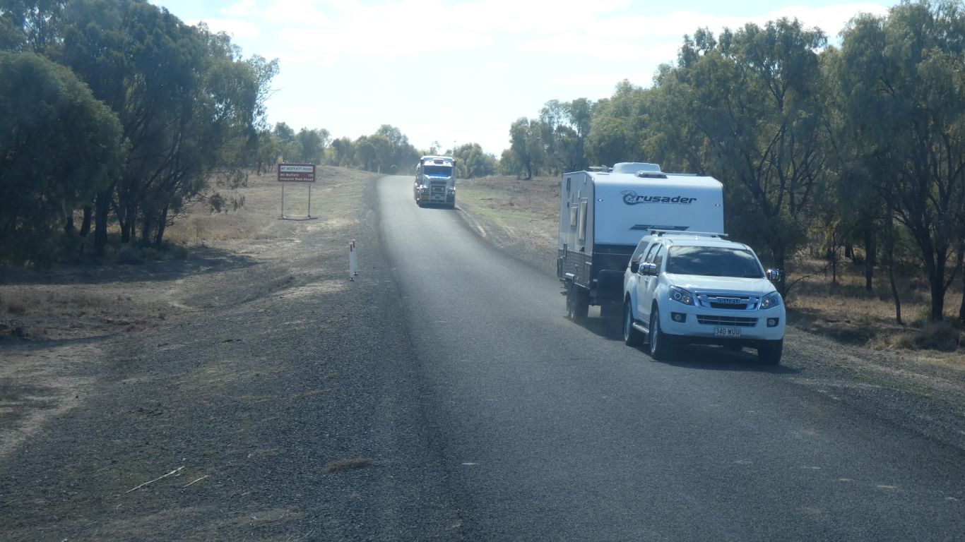
Caravans are always interesting, they are wider than the tugs.
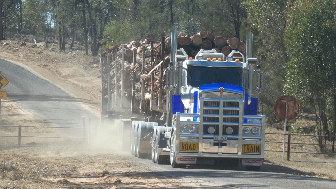
One day there may be no more trees to chop down and chop up.
The big battery had two prismatic cells inside, 653450 (34x50x6.5mm) and a charging or protection circuit.
It mates to three small contacts on the phone. Battery plus and minus, and charge voltage input. I scribbled next to them with a marker pen .... wouldn't want to get mixed up.
The phone won't turn on unless there is a battery present.
I left one cell attached to the charge circuit, which has the three contact pads. A re-purposed toothpick to wedge it into its plastic case so the contacts will stay connected to the phone.
Two wires soldered to the pads, one to plus, and one to minus. The cylinder is a 18650 cell borrowed from a torch. The plastic around it a spacer in the torch to allow bigger or smaller cell. A rubber band, held by the plastic, and a spade connector on each end. Without the plastic cylinder the elastic simply slides off.
Turn it on, and it works. I'll attach the new battery to phone with more elastic bands later.
The best views of any scrape anywhere ..... !
This is looking east, towards the gap in the Dividing Range.
The phone knows the difference in state of charge between before and after charging. It shows as number of bars, probably voltage related as there aren't enough connections to battery for anything more sophisticated.
Part of charging logic must be built into the phone as it reports "charger connected" and "charger removed".
However. Uncertain if I've damaged the circuit in the battery during dismantling, and I've soldered wires to the phone connecting tabs not the old battery terminals so have probably by-passed the charger. I won't plug a charging cable into the phone.
Limited mobile phone reception. It will be a couple of weeks before this page can be uploaded. By which time a few more pages will have been written.
The finished article. Robust enough to make a call, not just texts.
The cylindrical battery is twice the capacity (5400 mAh) of the original big size battery.
Perhaps I'll call it an "improvised satellite device".
In some countries we had to hide the satphone as they are illegal. I can well imagine trying to explain this improvisation in a foreign (to me) language after its discovery in a customs search.
The stuff of nightmares .......... let's not go there!