To Sandy Beach, Newman | ![]() |
July 18 - 21 2025 |
|
We return to the main north south track. Heading east. 
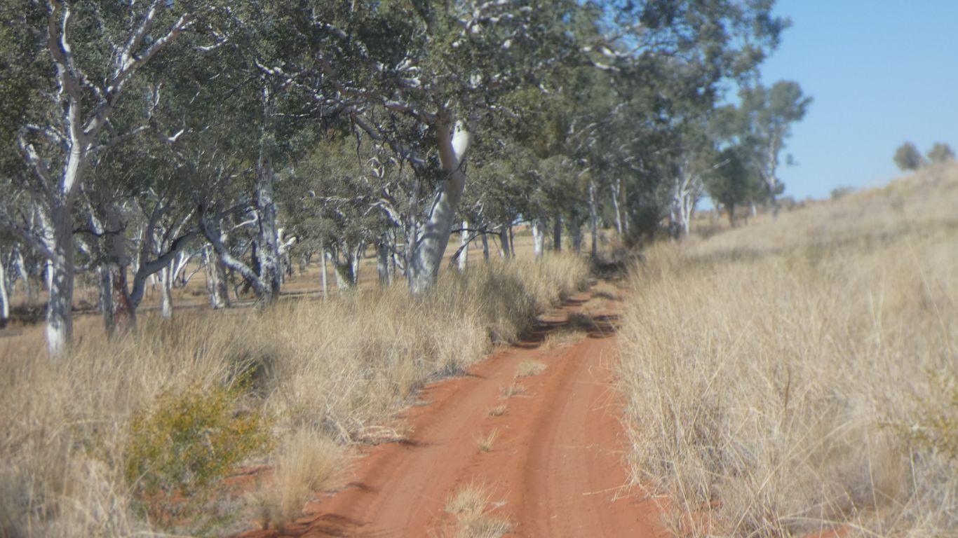
Different direction, different time, different colours. |
|
|
Traveling south we descend a little to the Rudall River. | |
|
A plaque to explain its significance. | |
|
Just like our campsite, and the baths, and pretty much every other creek bed in Aus, there are gumtrees along the water course. | |
|
Coarse sand forms the river bed. | |
|
The ascend to the plain. 
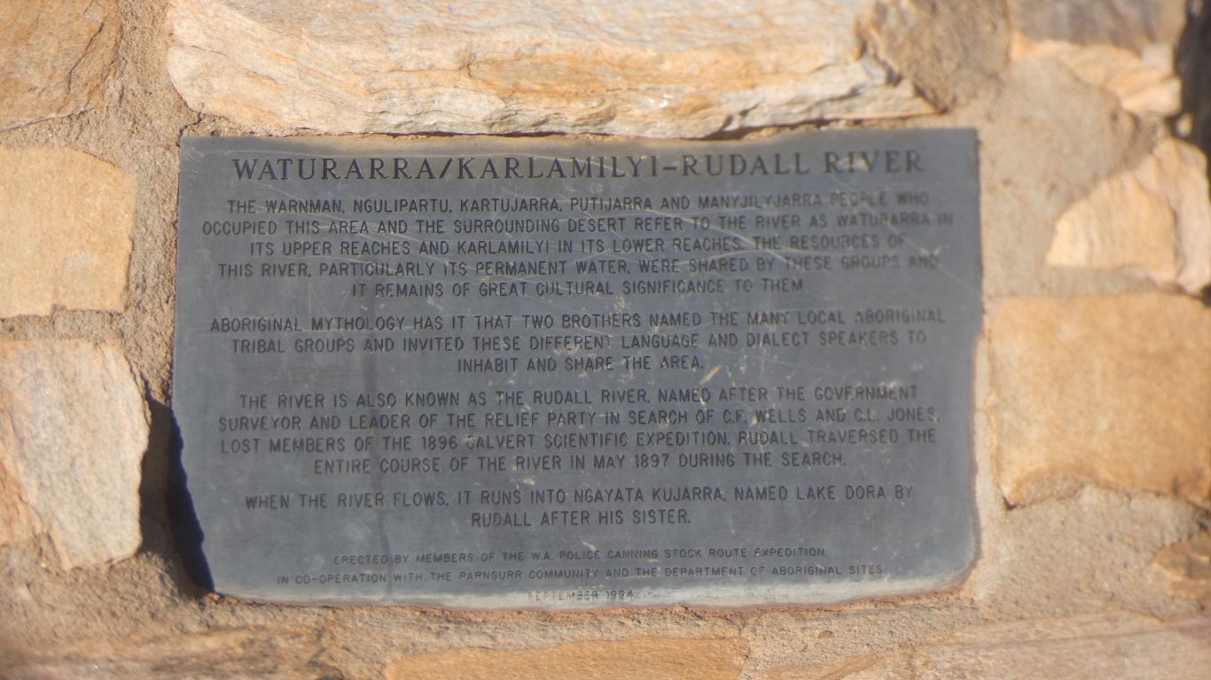
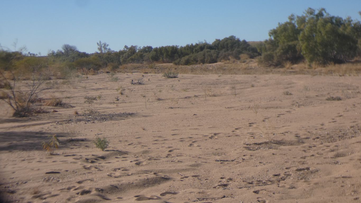
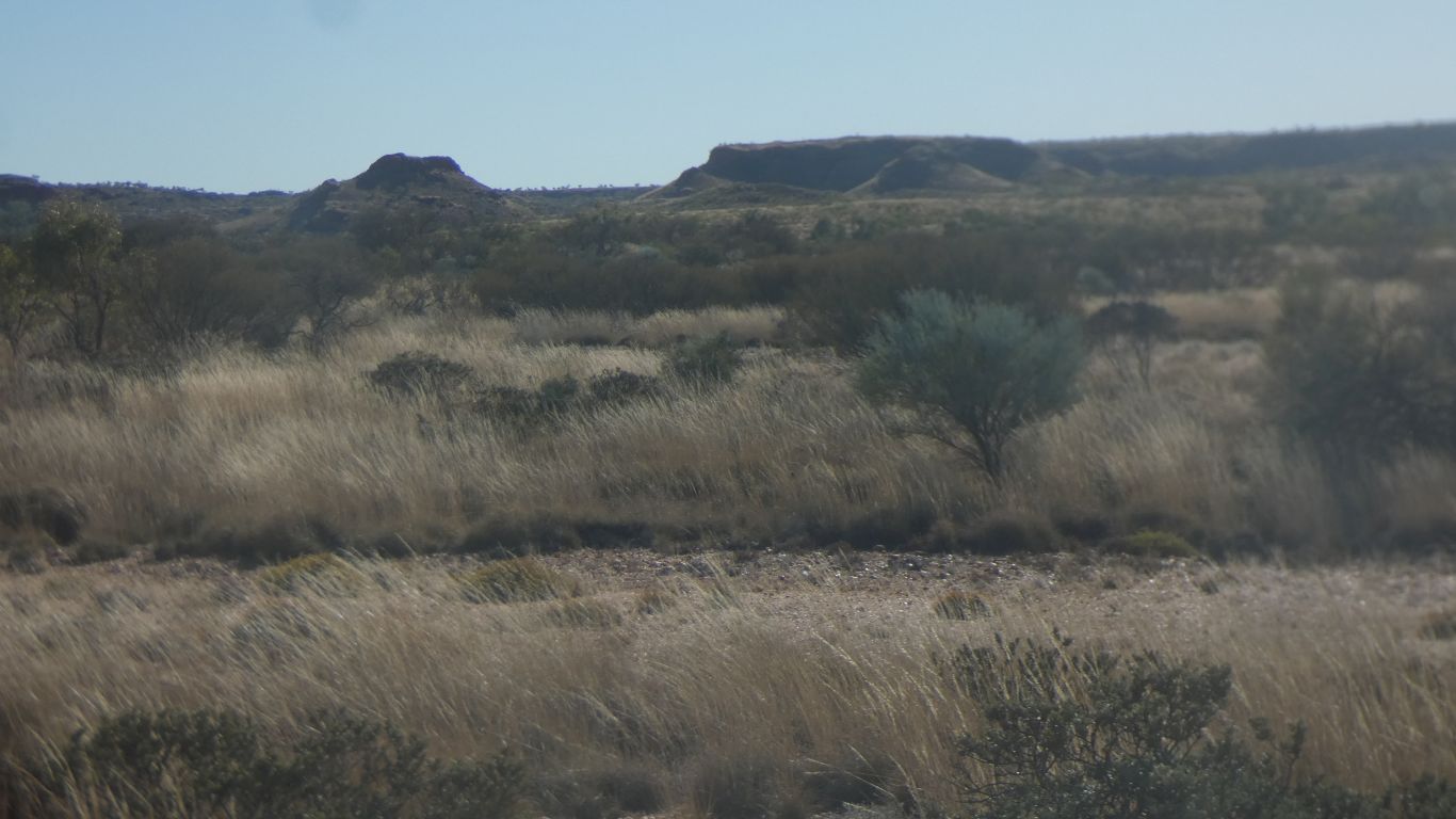
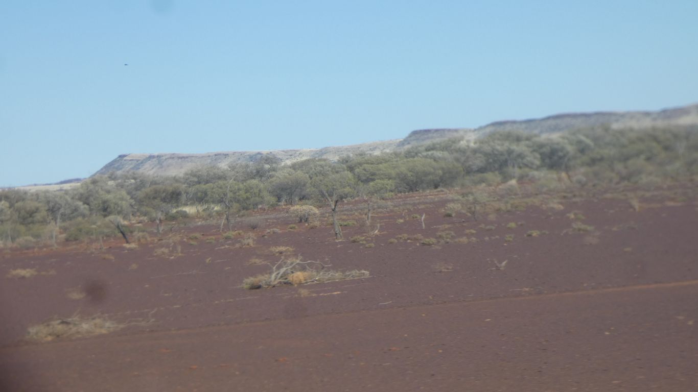
The Rudall River is the boundary between the Great Sandy Desert, to the north, through which we have been traveling since before Balgo, and the Little Sandy Desert, to the south. Its not immediately obvious to our untrained eyes. The dunes in the Little Sandy are more confused than the linear dunes to our north. The vegetation subtly different, though very similar. 
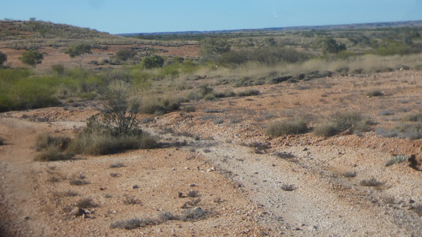
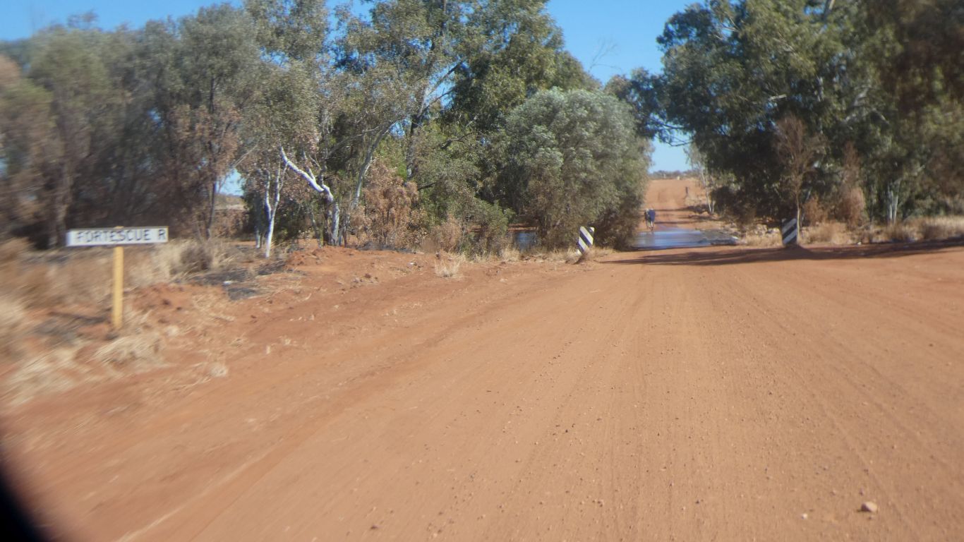
The river flows (I guess occasionally) into Lake Dora, which we passed a few days ago near Punmu. |
|
|
The track south is heavily corrugated. With little escape to the sides of the track. A long slow steady journey southwards to the Talawana Track. | |
|
Watched by a goshawk. | |
|
The southern boundary of the park is marked by a broad line of eucalypts and a long dune. | |
|
We turn right, west, onto the Talawana Track. 
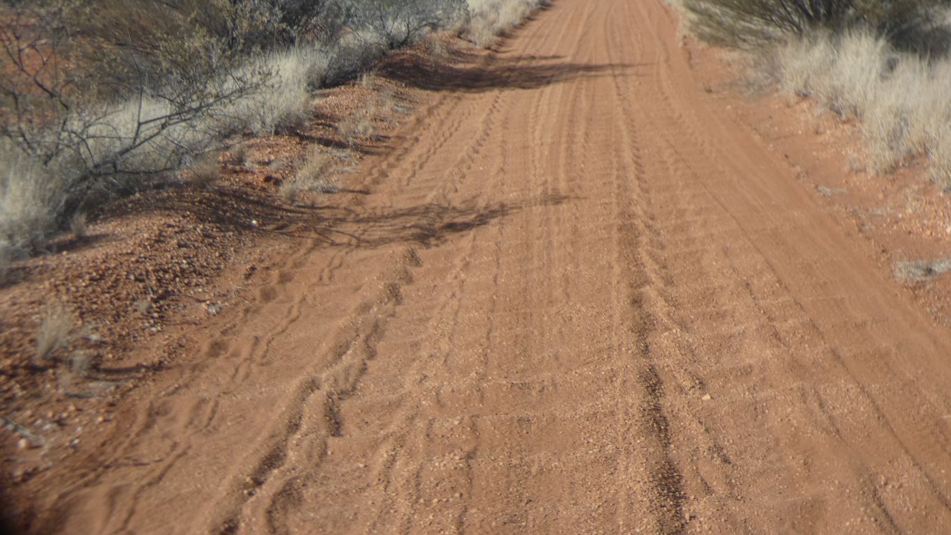
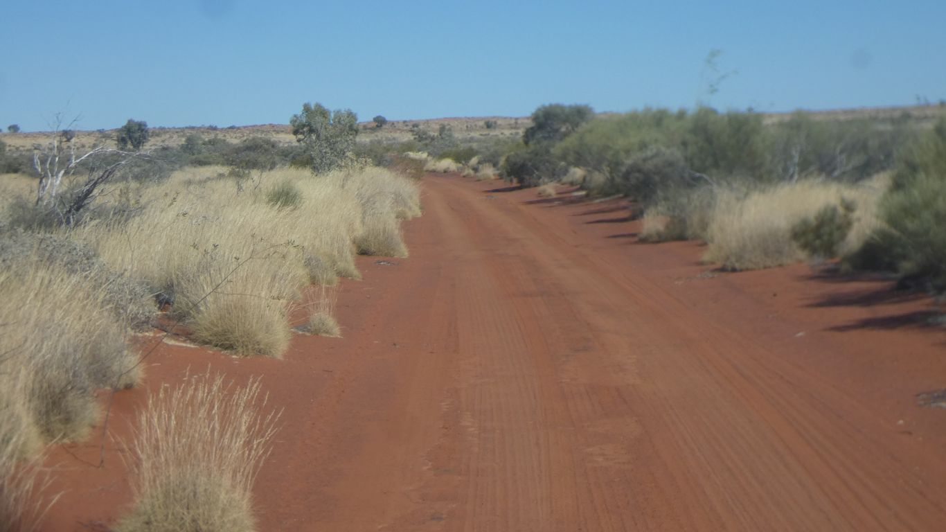
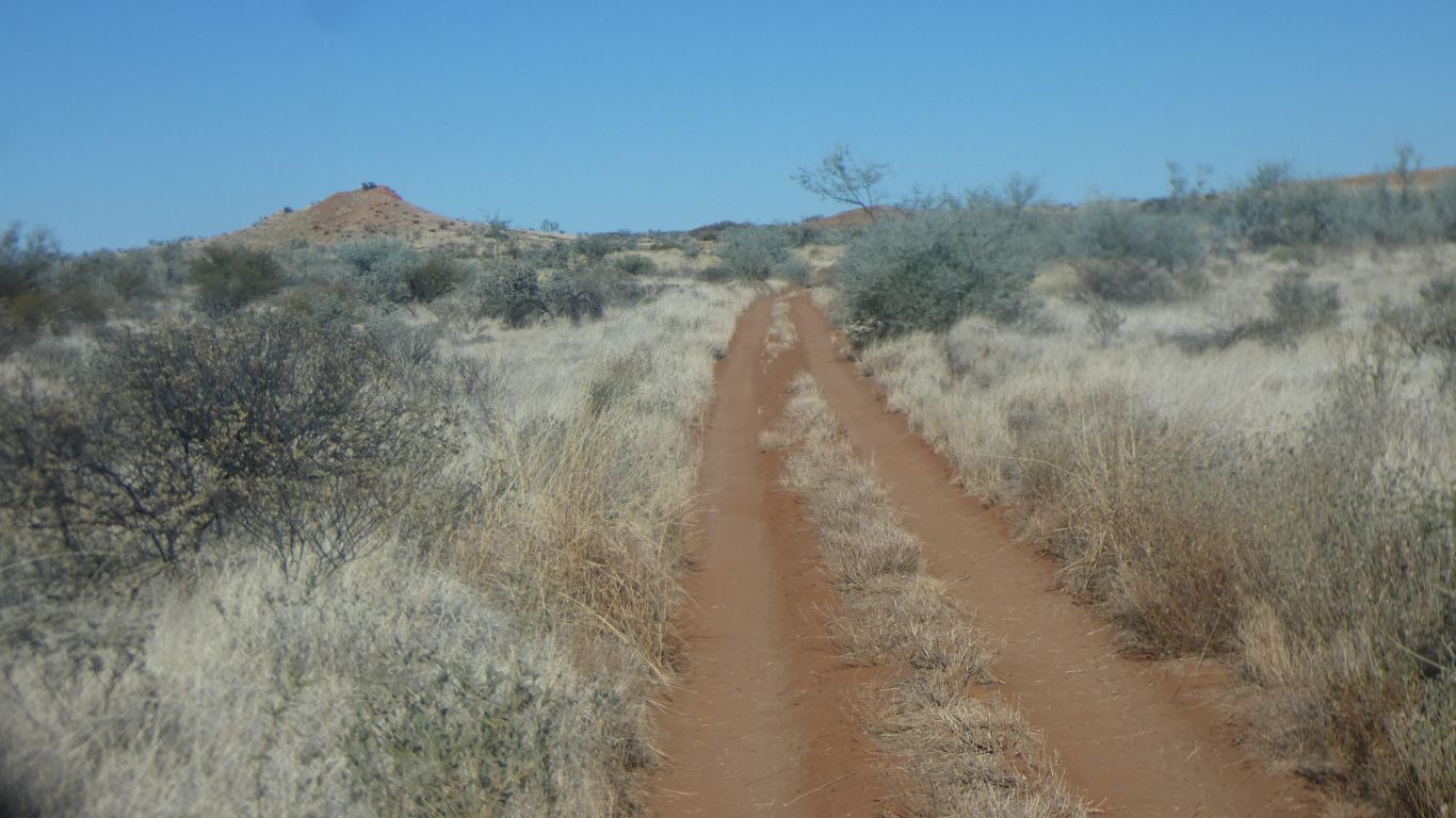
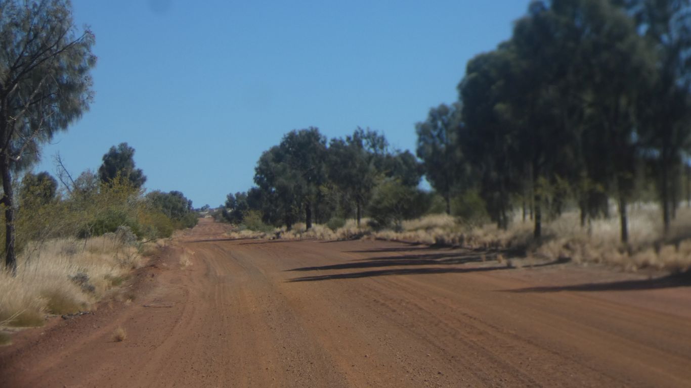
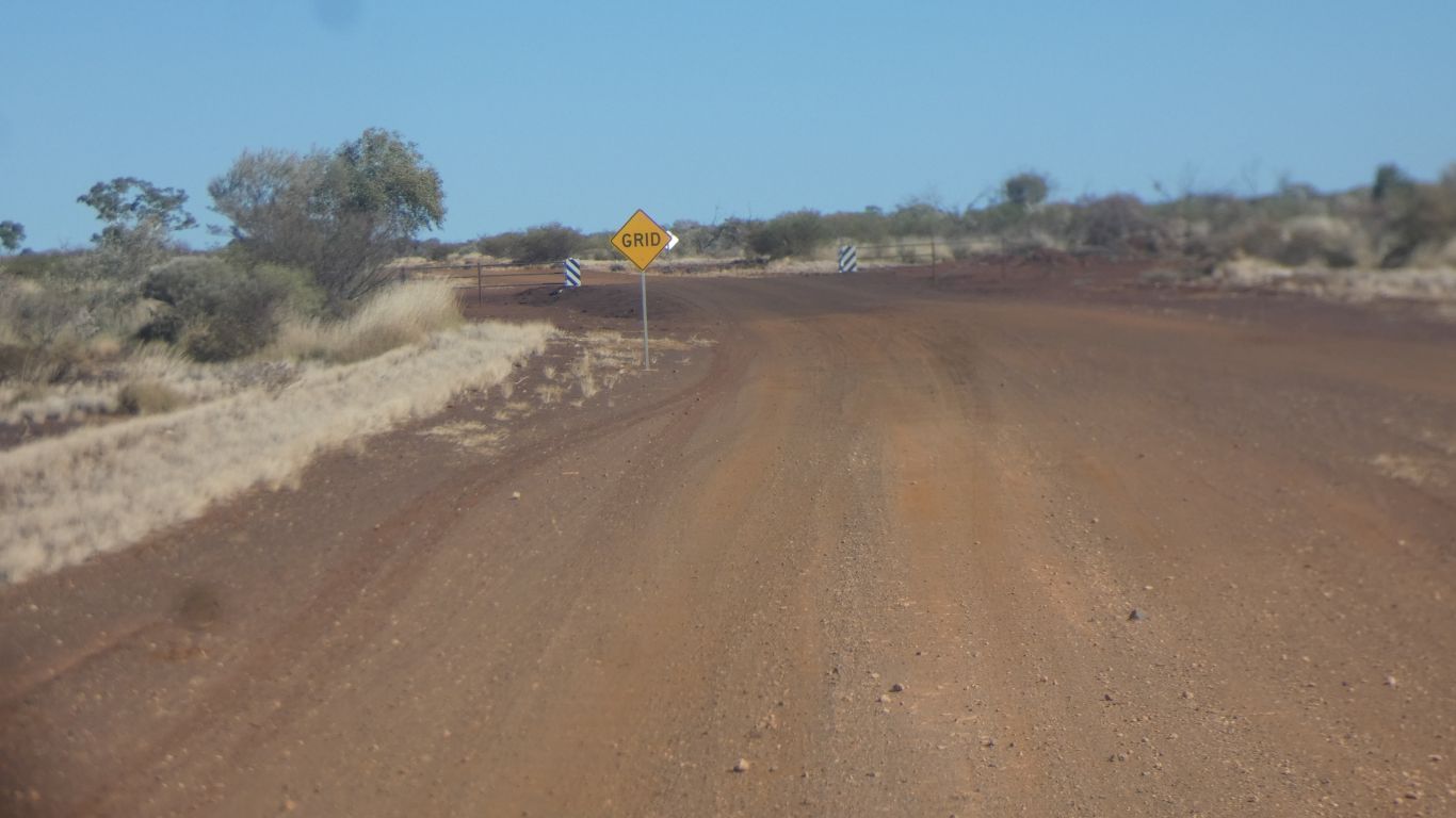
Its really a road. Mostly formed and graded. |
|
|
Improving the further west. We encounter a few low hills. | |
|
We meet a road crew in convoy heading east. 
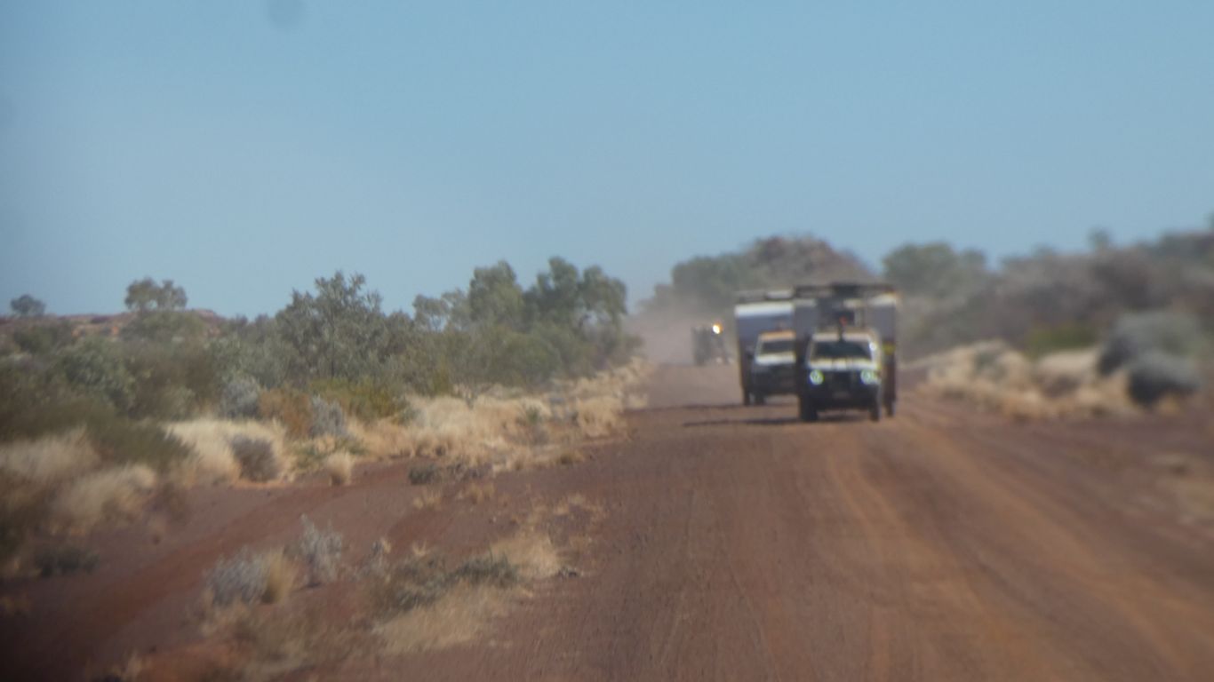
There's a grader, a water tanker, and a "gravel carrier" behind the two front vehicles. |
|
|
Occasional desert oak groves, more frequent as we progress westwards. | |
|
We stop to camp a few km past the edge of the national
park. 
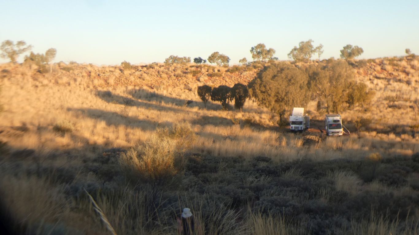
In a very small grove of desert oaks. An old road building camp. Overgrown except for the small, goldilocks size, turnaround / camp. |
|
|
Next day we continue towards Newman. 
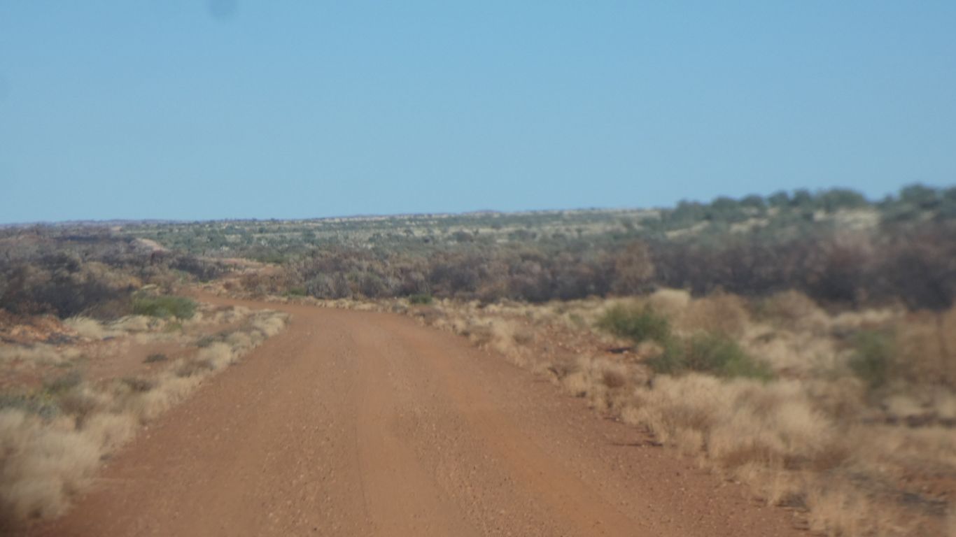
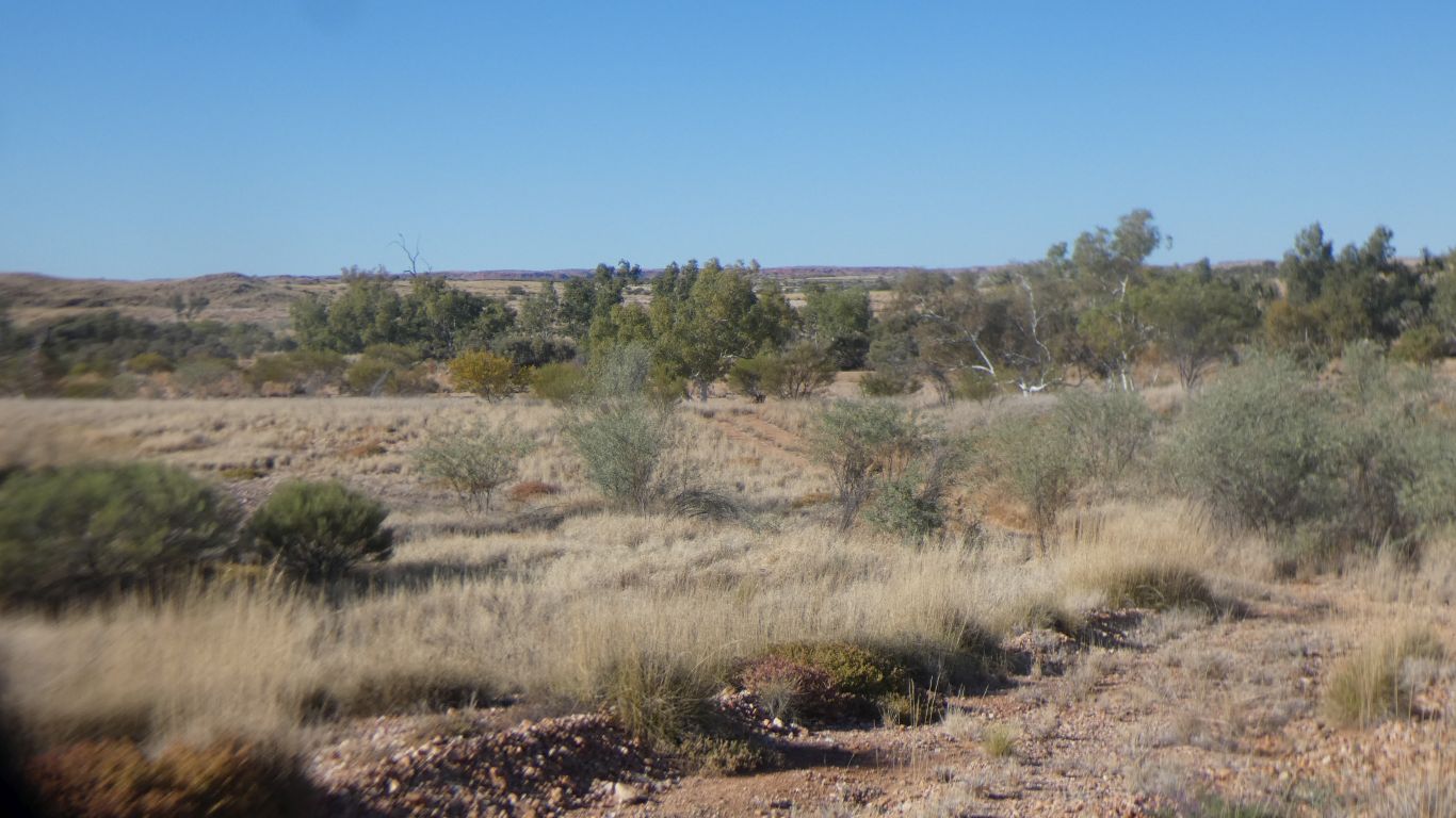
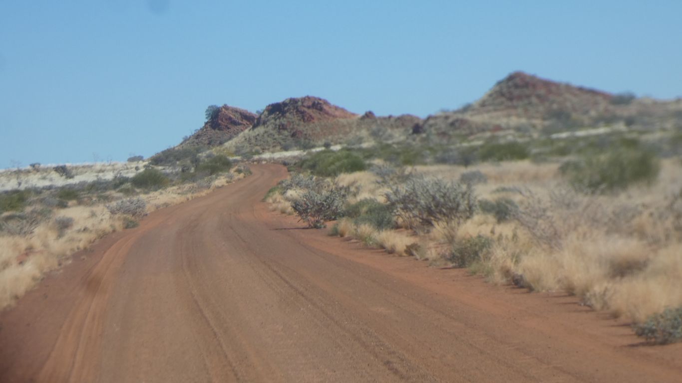
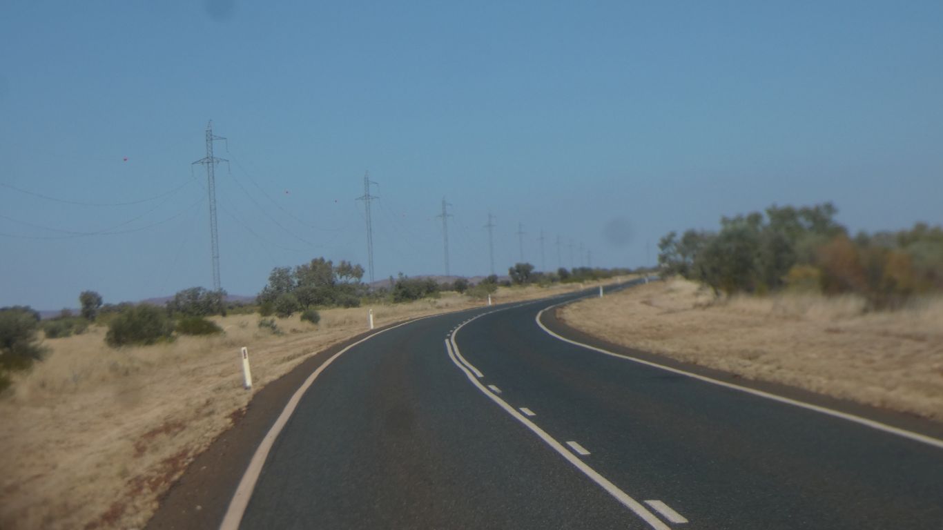
The road improves, the vegetation changes ever so gradually as we prepare to leave the desert. |
|
|
A few creek crossings. 
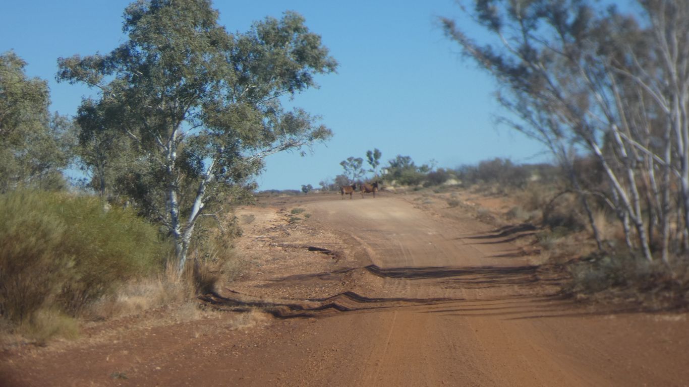
And two cattle on the road. We are crossing Balfour Downs. A very large station, and a smallish manganese mine. |
|
|
We haven't seen a fence since before Lake Gregory. at least three weeks. | |
|
Nor gibber plain. | |
|
The Fortescue River is flowing. A couple of people stopped
to have a look. We contemplate stopping to camp but need to time our arrival at Newman so we aren't stressed running around after supplies. |
|
|
The Marble Bar to Newman road. Power pylons for the mines. | |
|
We camp at Sandy Beach. About 25km north east of Newman. 
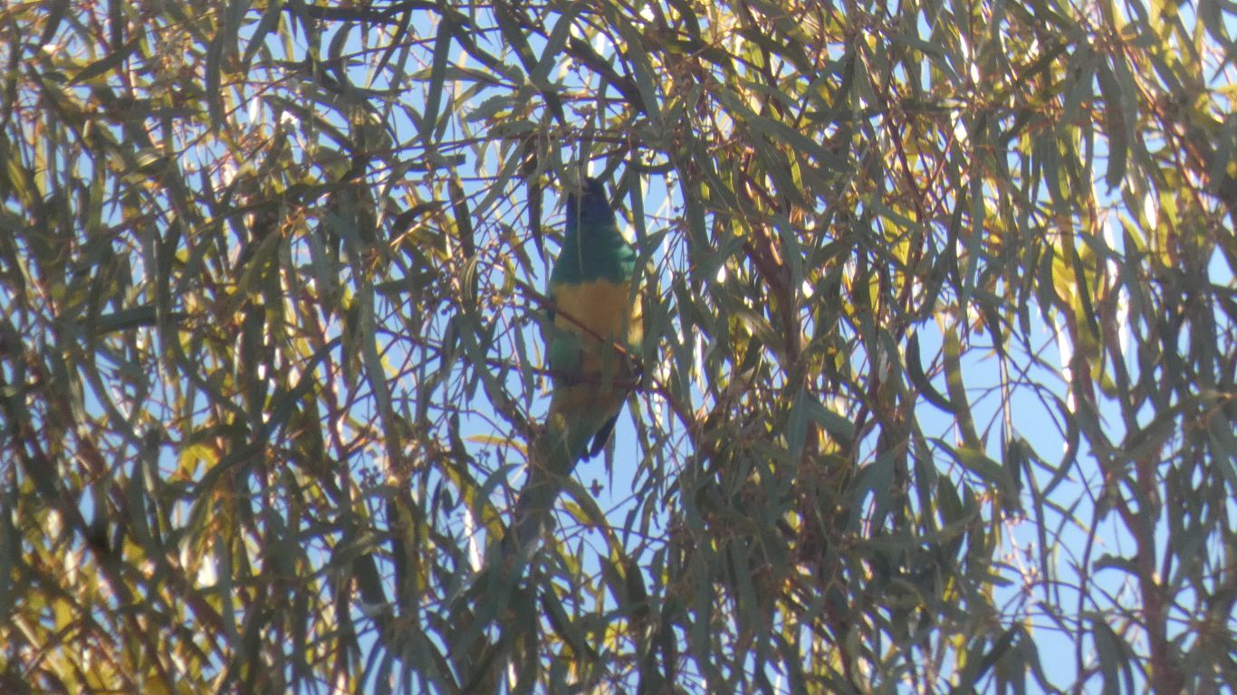
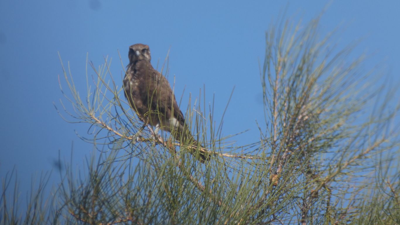
Greeted by birds, including a few very quiet Port Lincoln Parrots. We passed by here in 2018, on our way to Kalgan Pool and Hinkley Meteorite Crater - the beginnings of our exploration of the Pilbara. |
|
|
And cool clear water. The Fortescue River again. 
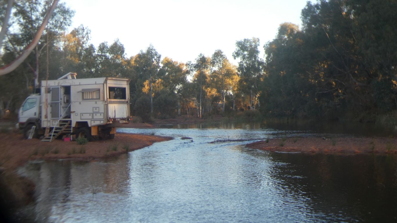
A couple of nights. A rest. Washing. Showers. Etc. We are a little ahead of what may vaguely be described as the plan. |
|
Punda Petroglyphs and Hickman Crater | ![]() |
July 22 - 24 2025 |
Comments | Home | |||