| |
|
|
| Punda Petroglyphs and Hickman Crater |
 |
July 22 - 24 2025 |
| |
|
|
 |
|
A quick walk around Sandy Beach before leaving. |
| | | |
 |
|
A few hours of cloud. But cleared enough to replenish
solar. |
| | | |
 |
|
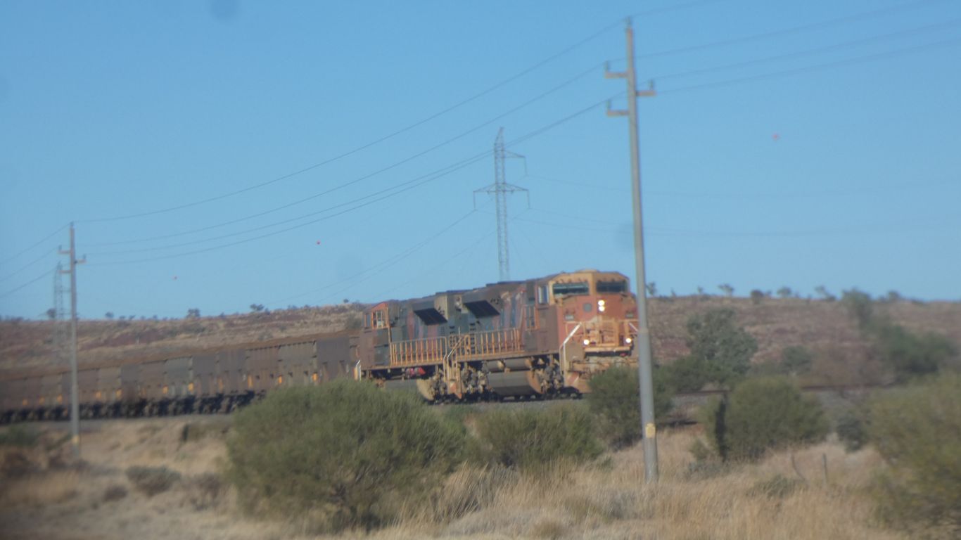
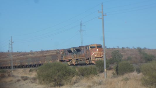
We drive to Newman. Food (lots), fuel, info, etc. The
rail cars look a bit new. Only two locomotives required (instead of two at
the front two in the middle). |
| | | |
 |
|
The mud map we wanted from the info centre is no longer
produced. Instead it is in the middle of a colourful brochure. To scale,
but no coordinates.
Still we had a good conversation about what was possible. |
| | | |
 |
|
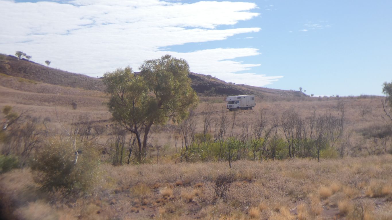
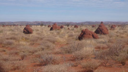
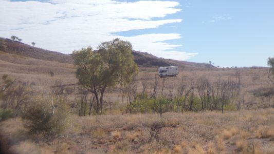
We headed towards Punda Petroglyphs. Strangely not on the
new mud map.
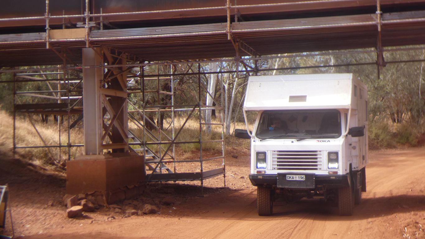
We obtained the necessary permit for the rail access road yesterday. We
took a turn off the main road a bit early and crossed under the rail line.
Clearance 2.7m. Enough room for us between the vertical bits of scaffold.
The crossing a few km north is a bridge. |
| | | |
 |
|
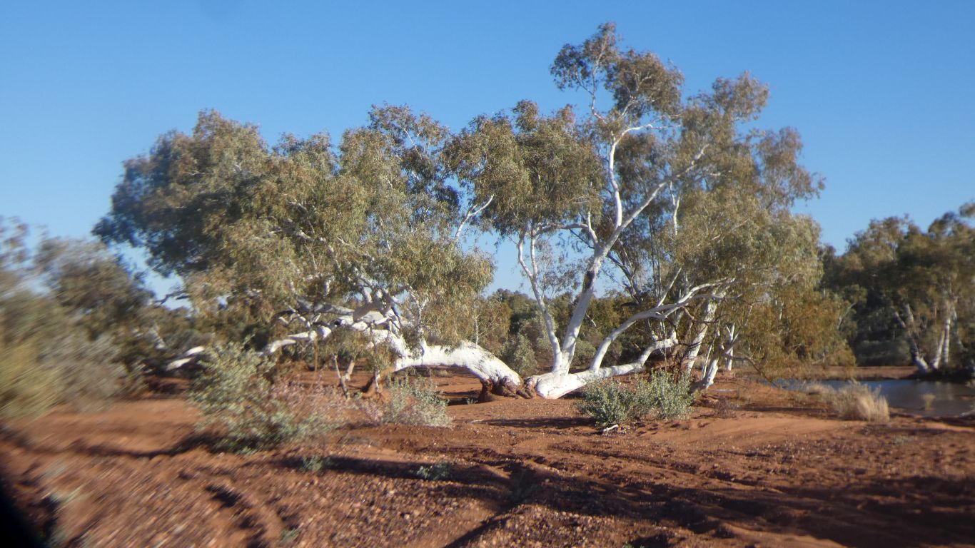
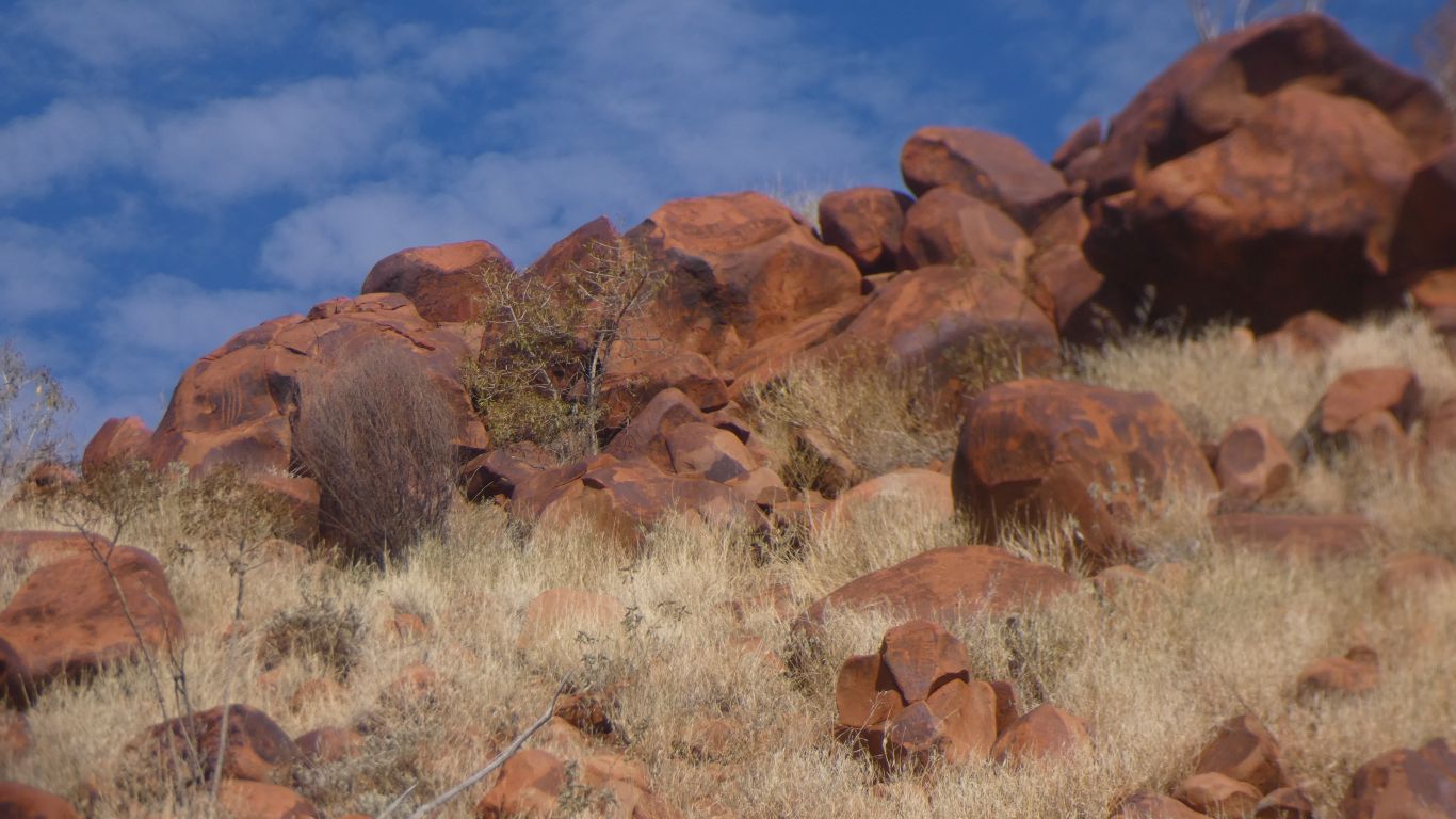
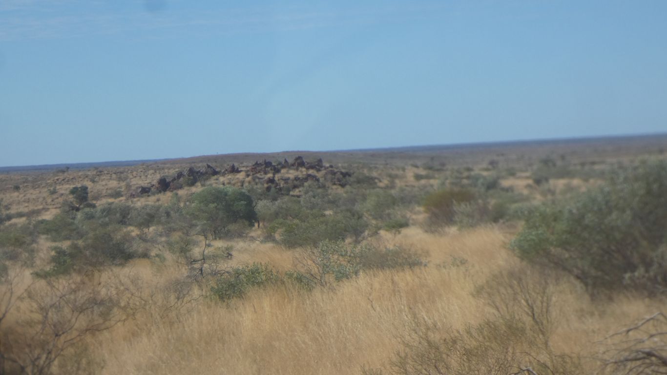
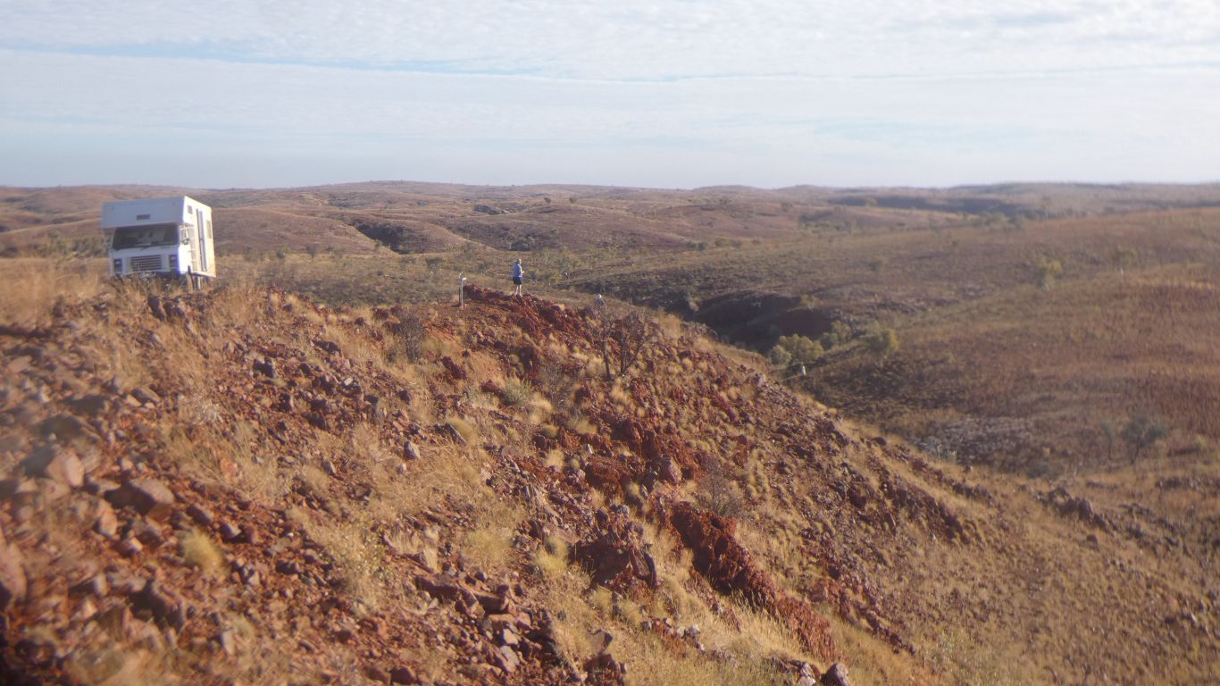
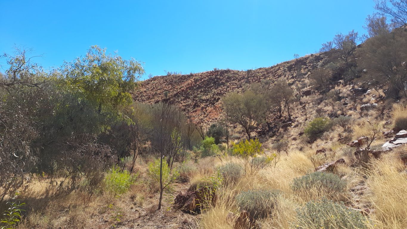
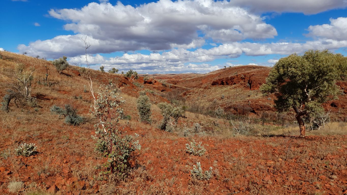
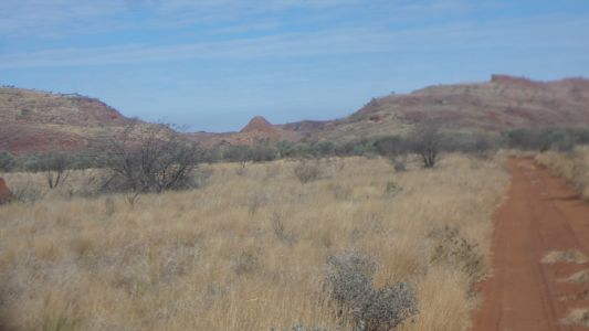
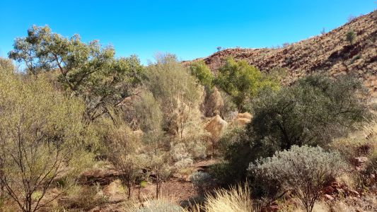
The track to the petroglyphs is just as I remember it.
Rough. |
| | | |
 |
|
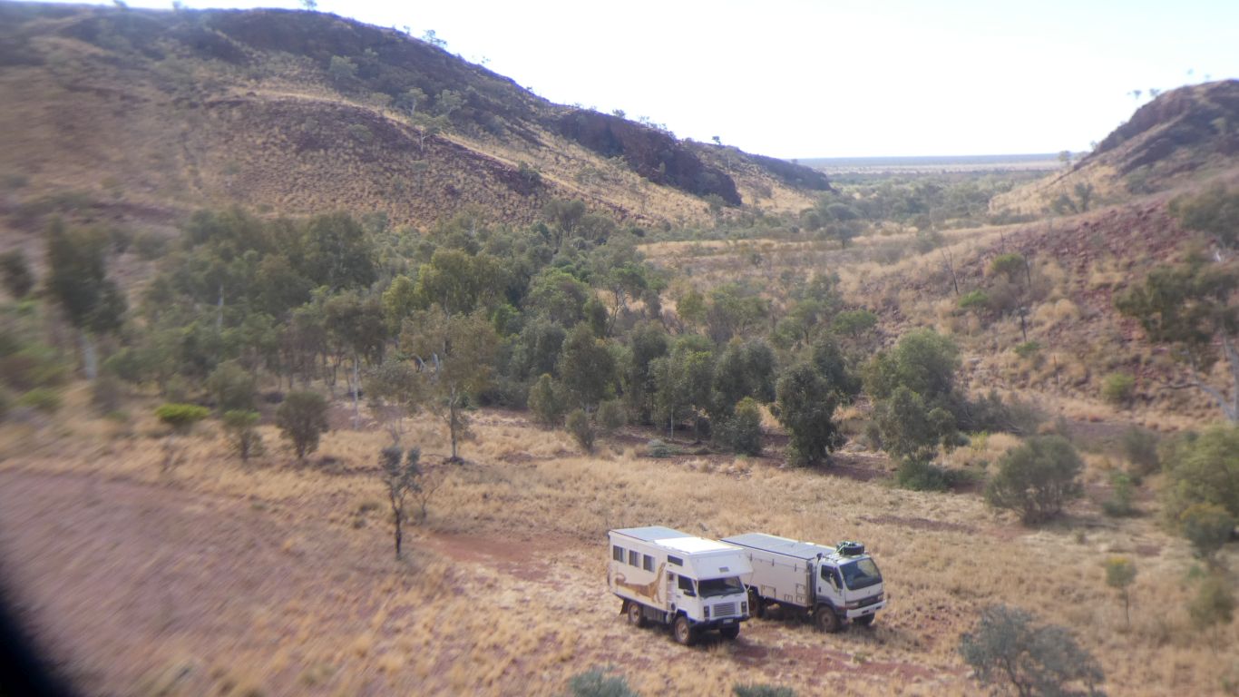
And I recall the valley entrance. |
| | | |
 |
|
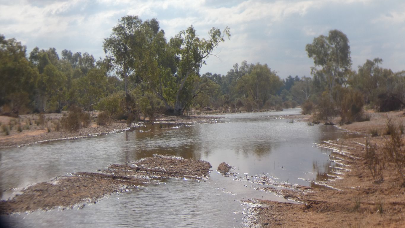
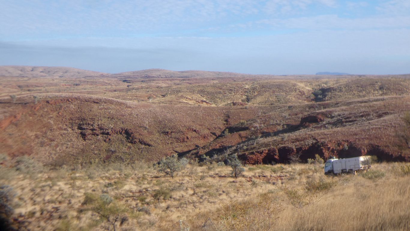
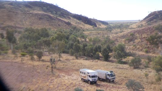
Last time ...
https://epicycles.com/Truck%20Blog/2018-05-01/2018-05-01.php ... we had
to stop before the trees. This time we progressed further. Perhaps this is
where the Aboriginals who drew the petroglyphs met.
We have failed to find any research literature describing the site. |
| | | |
 |
|
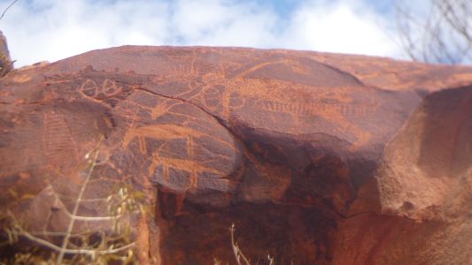
There are more pics from our previous visit. The two
animals left of centre caught our eye.
Not kangaroos. But do they have horns?
|
| | | |
 |
|
The images are a mix of outline, outlines filled with bars,
and filled. |
| | | |
 |
|
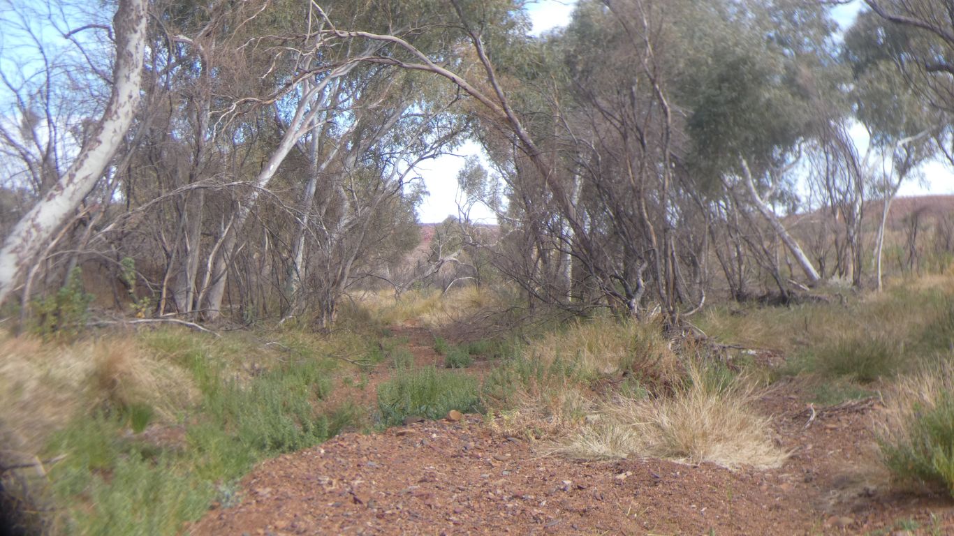
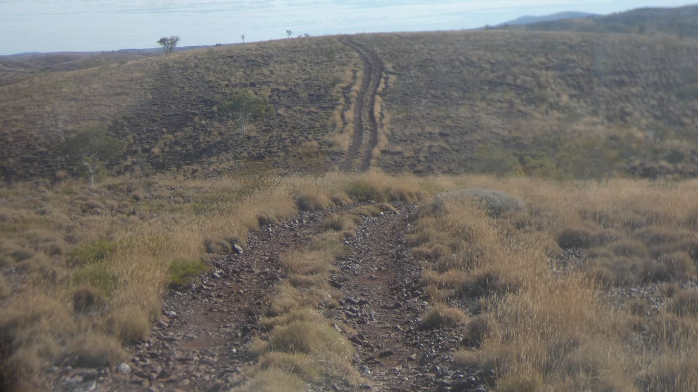
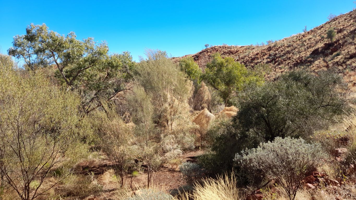
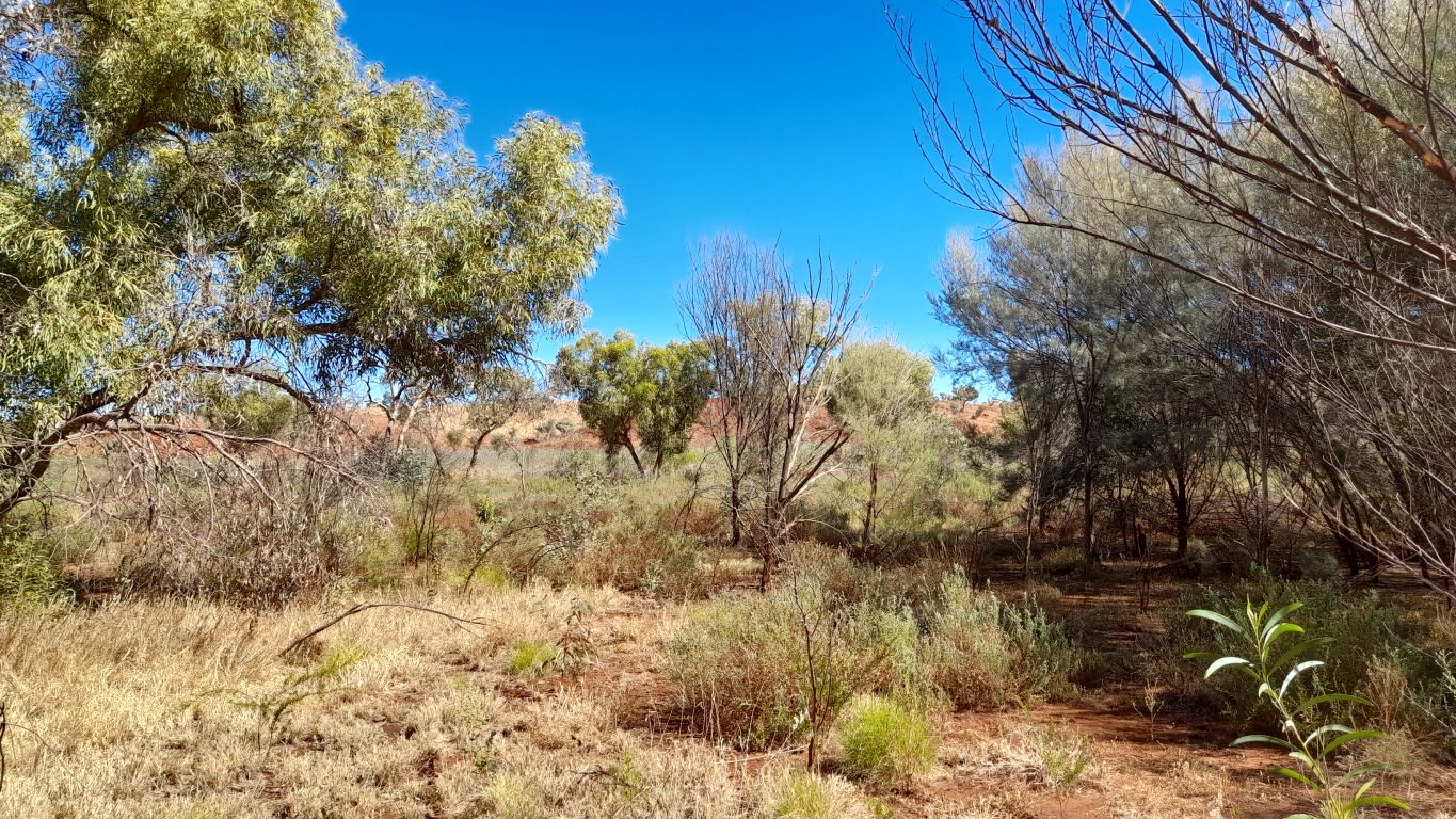
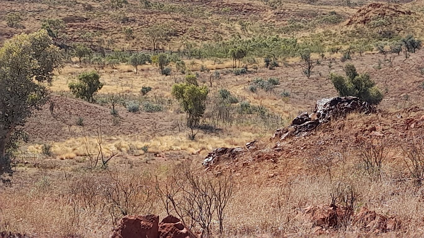
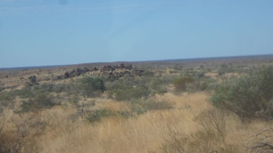
Round the corner, the vehicle track used to follow the
creek. Not passable for us. |
| | | |
 |
|
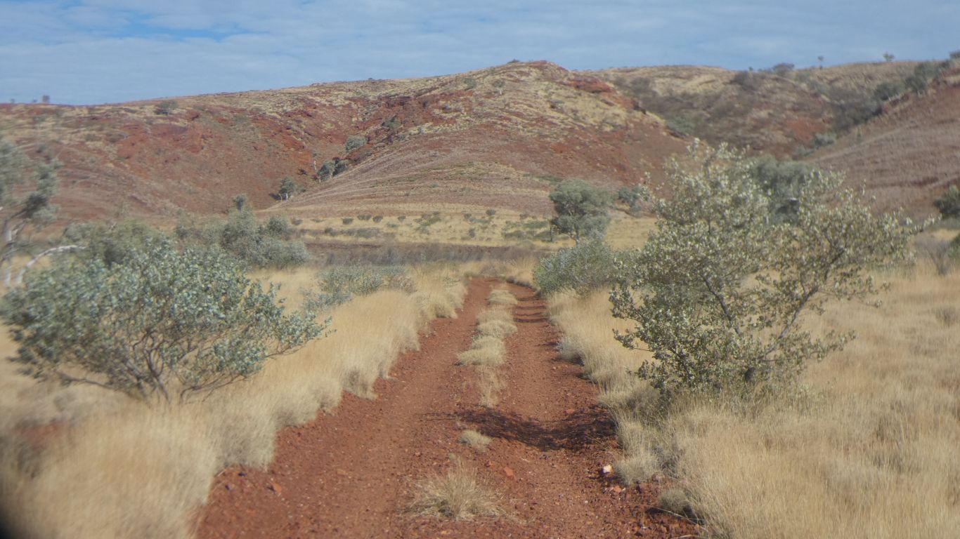
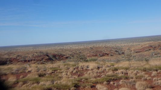
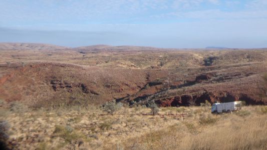
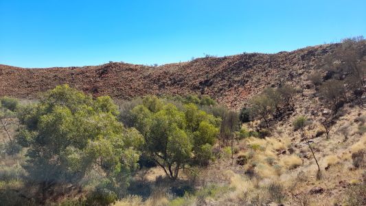
We follow the edge of the hills south east until time to
climb up to Hickman Crater. |
| | | |
 |
|
The Oka following faithfully. |
| | | |
 |
|
Past occasional outcrops. Probably signs of iron ore. |
| | | |
 |
|
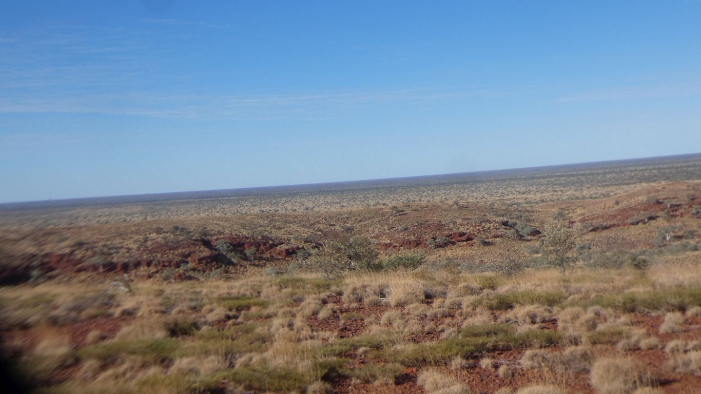
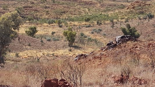
We can look east across the plain as we climb a bit. |
| | | |
 |
|
The sand of the plain gives way to stony ground of the
hills. |
| | | |
 |
|
A precarious perch, next to the visitors book, on the rim
of the crater. |
| | | |
 |
|
The Canter's handbrake works. |
| | | |
 |
|
Another day, we walk round the inside of the crater, and
south west. Using the phone camera. |
| | | |
 |
|
There are wallabies in there somewhere. |
| | | |
 |
|
Lots of tracks round the edge. We find rocks with holes.
And wonder. |
| | | |
 |
|
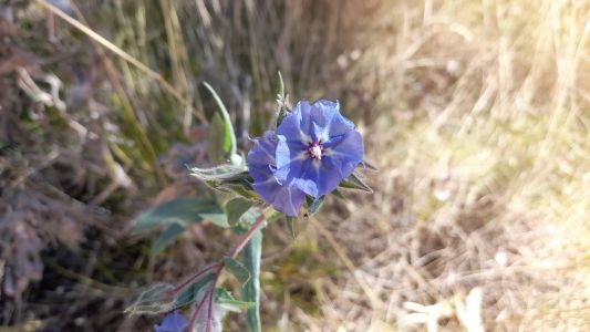
The phone camera works well for flowers and scenery. |
| | | |
 |
|
Further round the crater. |
| | | |
 |
|
South west of the crater, an outcrop of ironstone. |
| | | |
 |
|
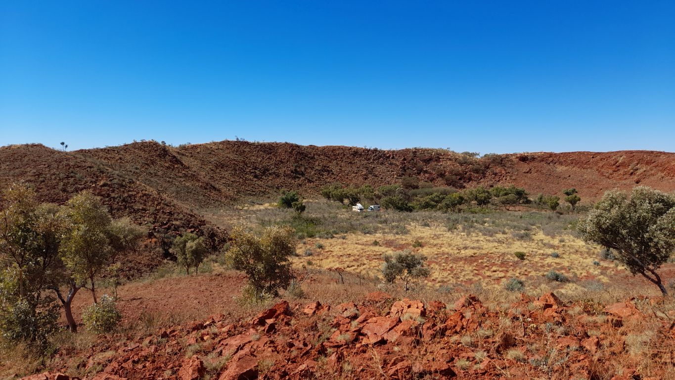
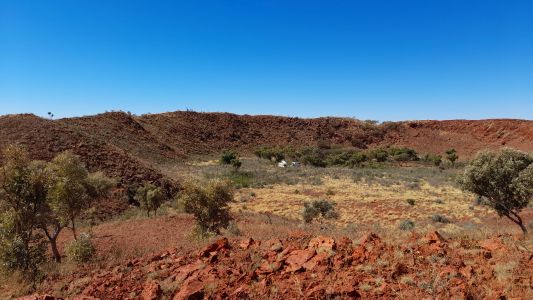
Camp is in the middle of the crater. |
| | | |
 |
|
Following day it rained early. We decided to be better
safe than sorry, stopped another day.
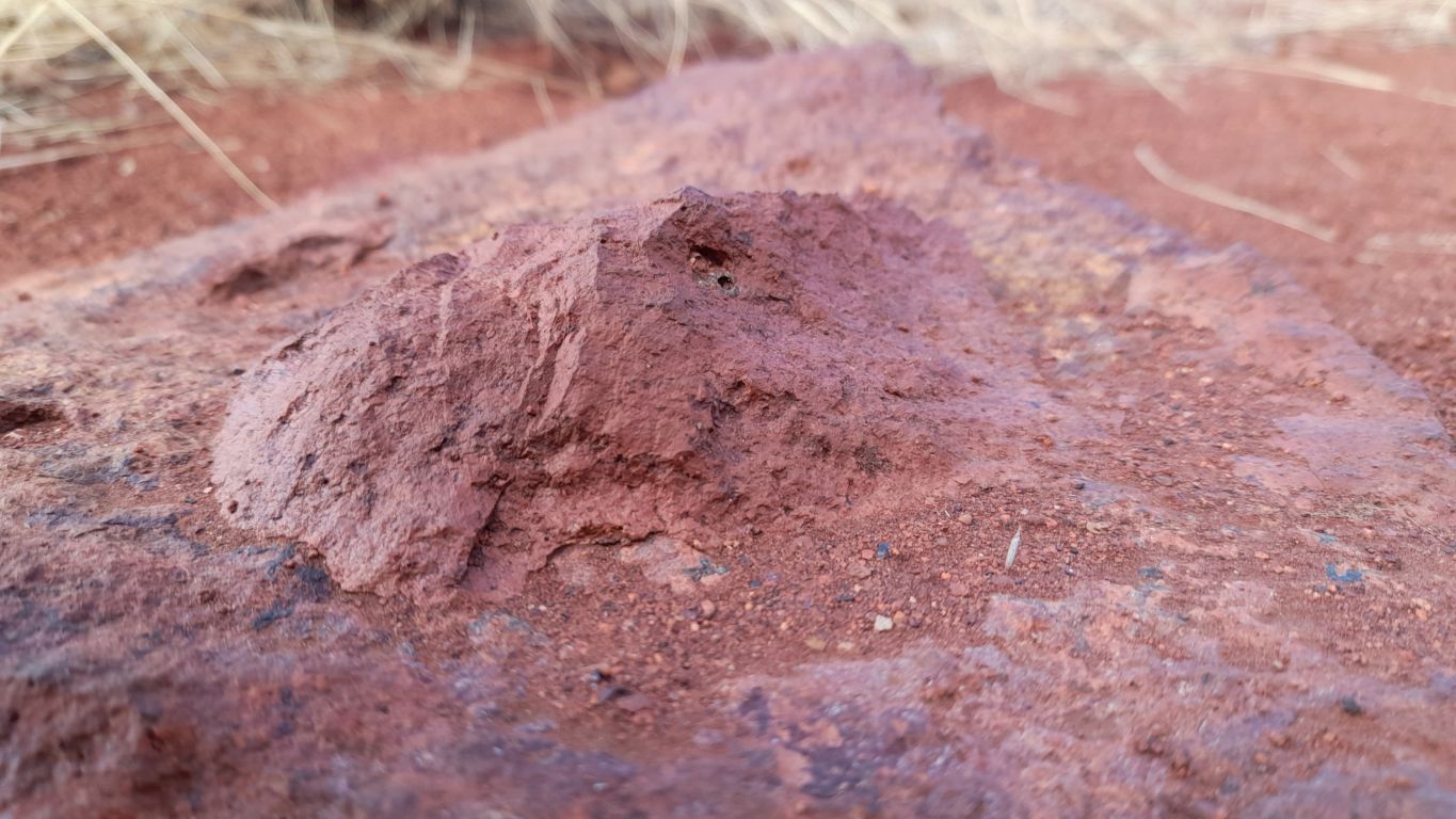
This is close up of a rock with a small rock embedded in it.
Somewhere there is another rock with a hole. Like two halves of a mould.
This is the only rock within a rock we found, but we found lots of rocks
with holes.
The icon next to the pic is a link to google maps showing where the pic
was taken from. GPS location is provided with the phone pics. |
| | | |
 |
|
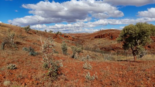
We walked to the top of the crater rim, around a bit, then
back to camp. Windy and a bit chilly. This east-west valley, just south of
the crater is quite deep and long. Its why we can't find a track direct to
Eagle Falls. We will return east, almost to the rail line. |
| | | |
| Three Pools |
|
July 25 2025 |
| | | |