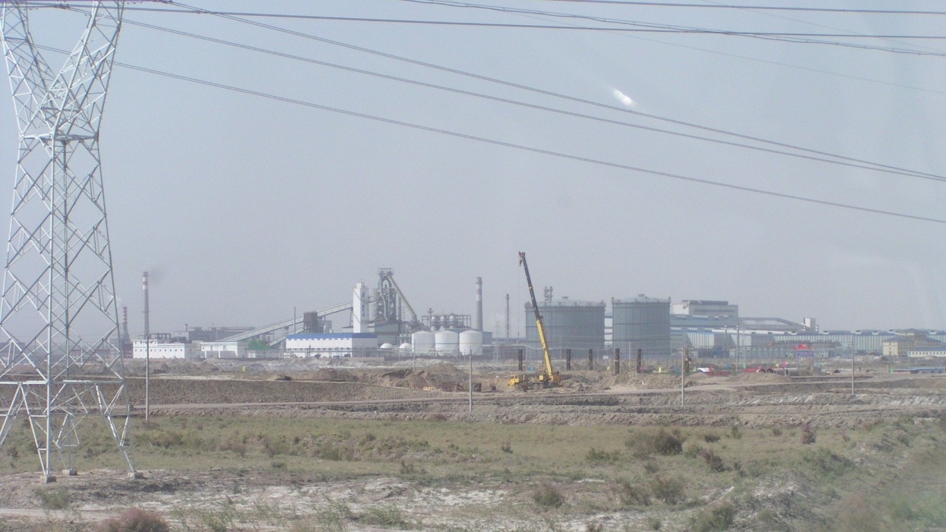
The unmistakeable profile of an iron and steel works. Probably Bau Steel.
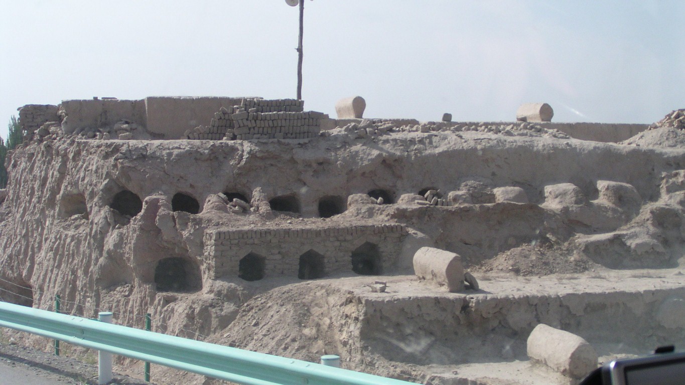
We think small brick kilns. But maybe mausolea?
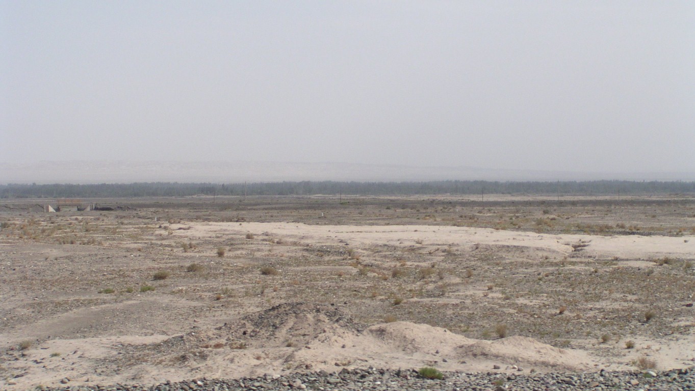
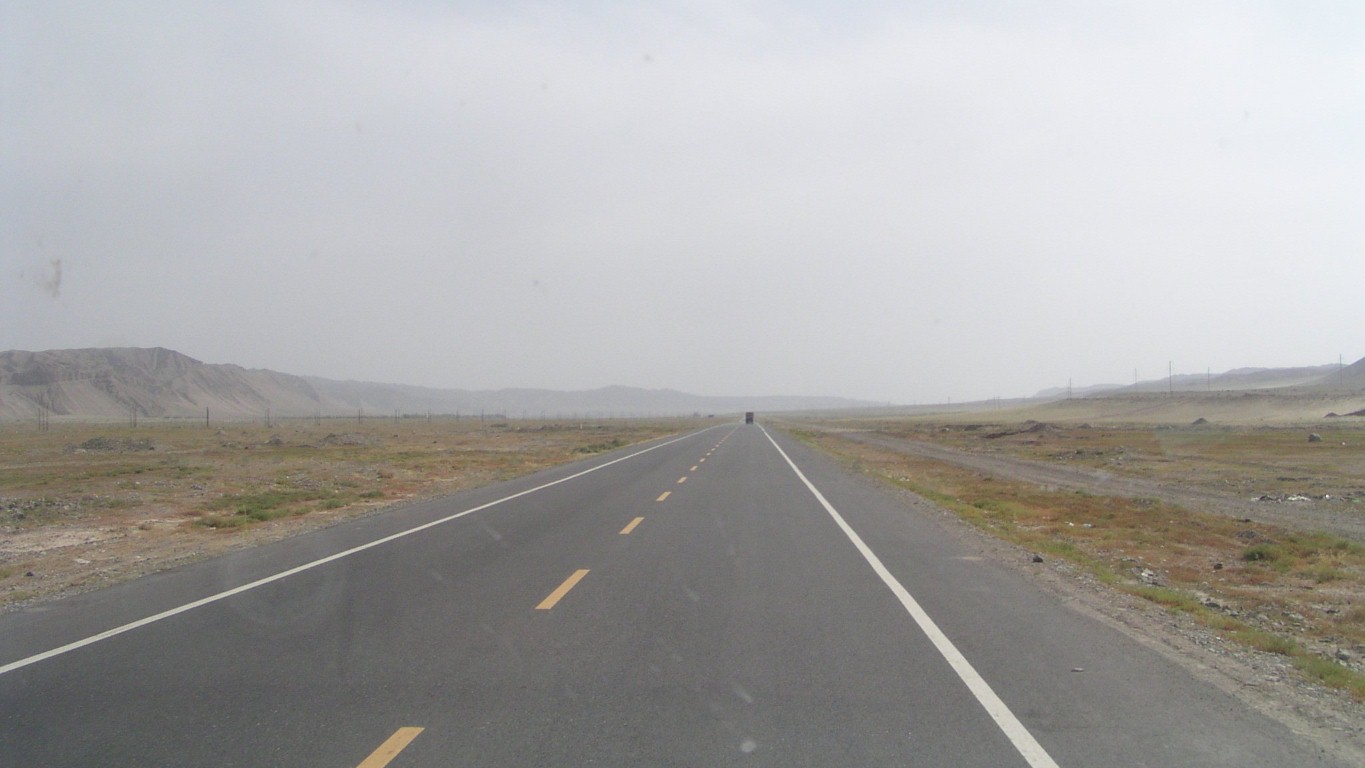
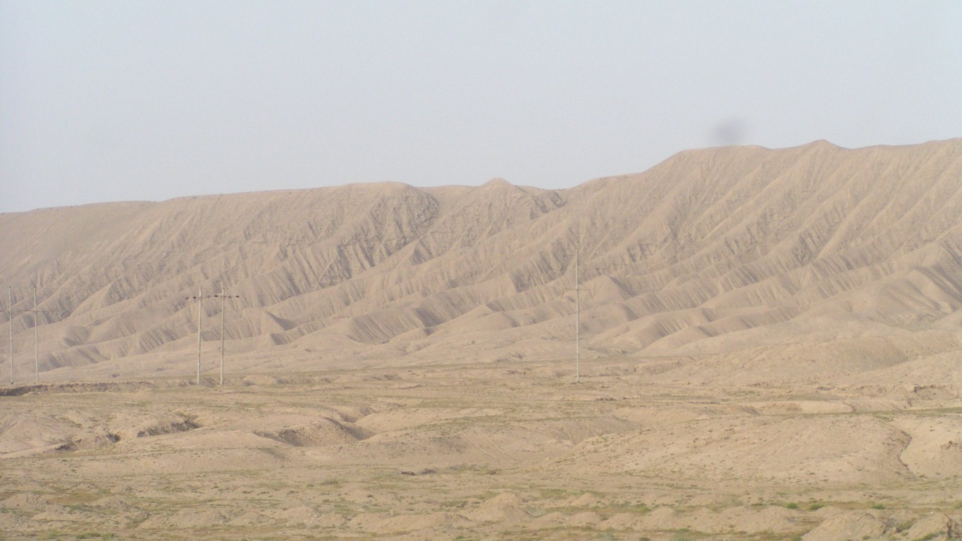
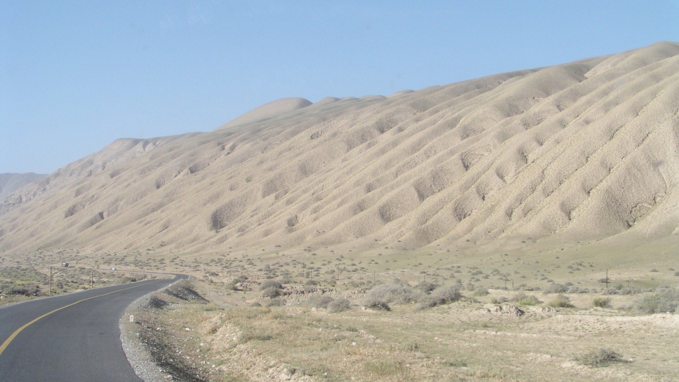
Its a shifting sand desert. We are at the western edge and little evidence of dunes.
Otherwise known as the Taklamakan Desert.
Seems to be as many names for the same place as I've had hot dinners.
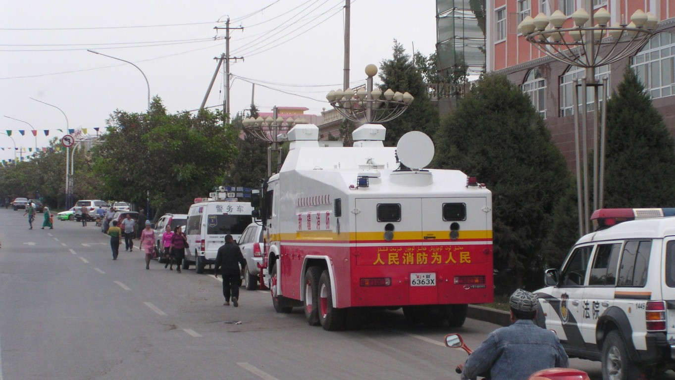
Don't panic, its a fire truck not riot control.
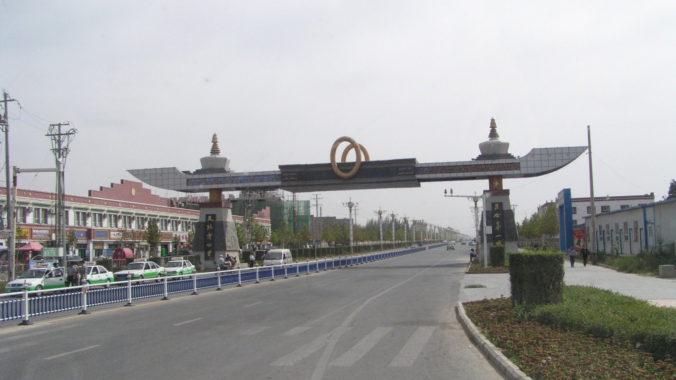
We are leaving Uigher territory. The Uighers we've met have been keen to tell us they are Uigher. And to confuse us with "local time", which is two hours behind of the official Beijing time.
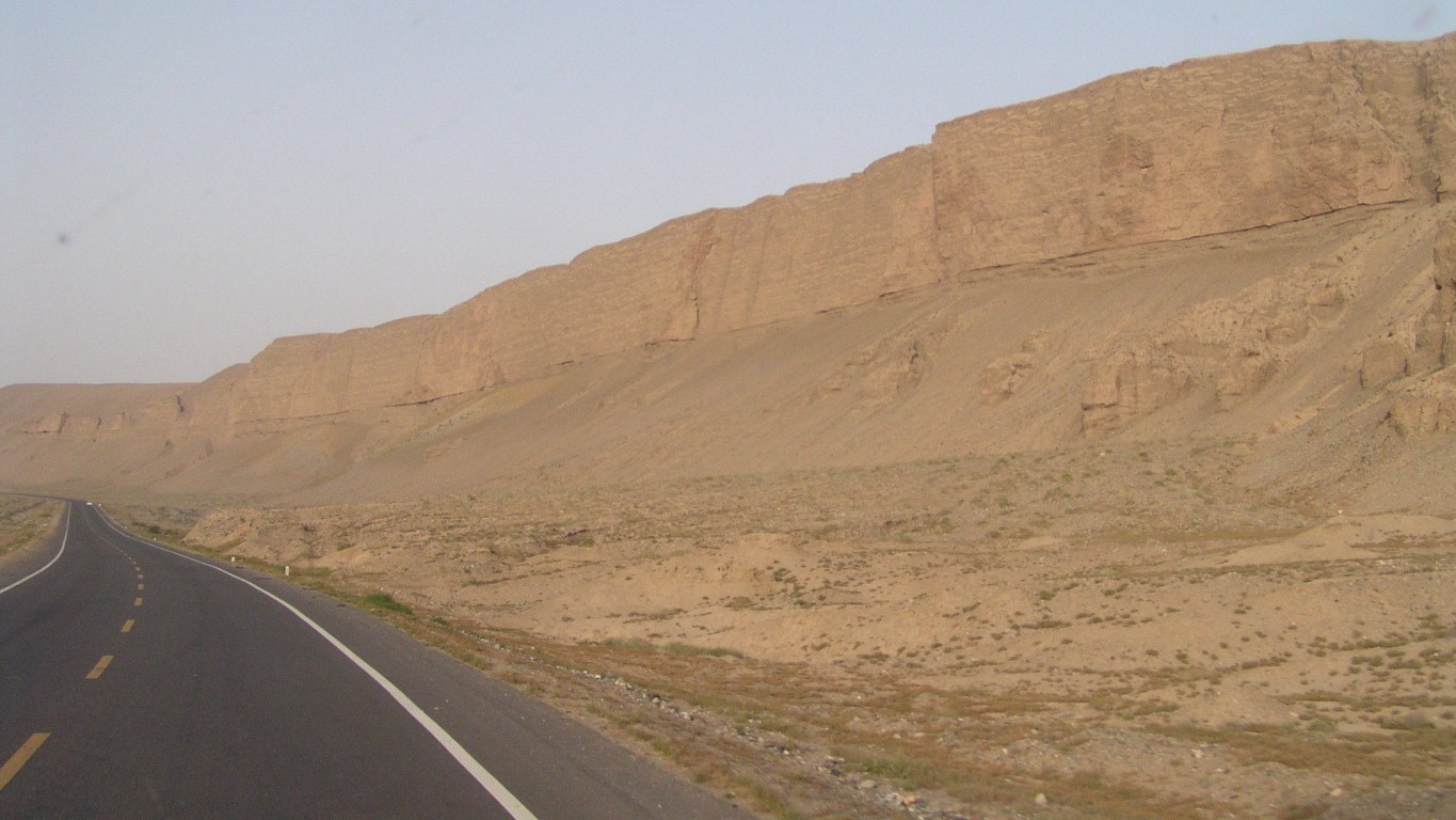
I guess we are headed for mountainous desert.
The north of Pakistan is to our south west. Tibet to our south east.
After a couple of days we'll turn south east through the mountains.
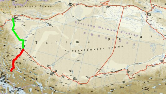
Kashgar (at the north of the green line) was an important Silk Road junction. The "North Silk Road" came from the east and continued to the north west, through the Irkestan Pass to Kyrgizstan.
We came to Kashgar from almost due north.
The "South Silk Road" is round the south of the desert. We leave it at Yecheng to see mountains.
Mazar is at the south end of our red line.
The Karakoram Highway south west from Kashgar was also a Silk Road route.
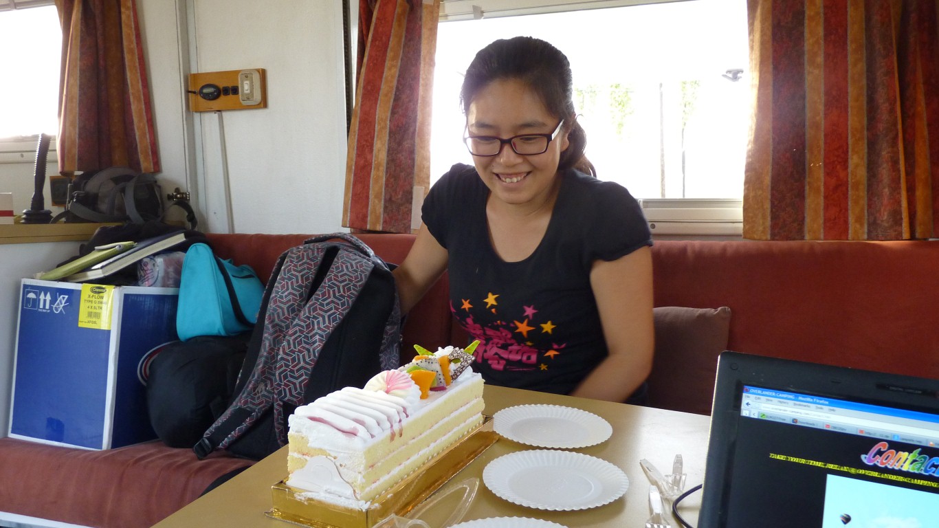
So we roadside camped a few km south of Yecheng and ate some.
Yingchu also brought some oxygen in lightweight bottles. Just in case.
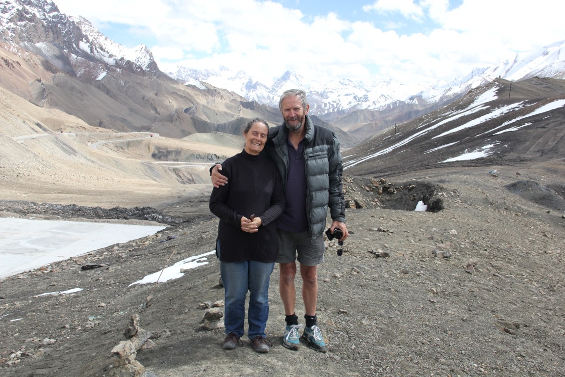
Altitude sickness is a real possibility, though we are probably reasonably aclimatised so far.
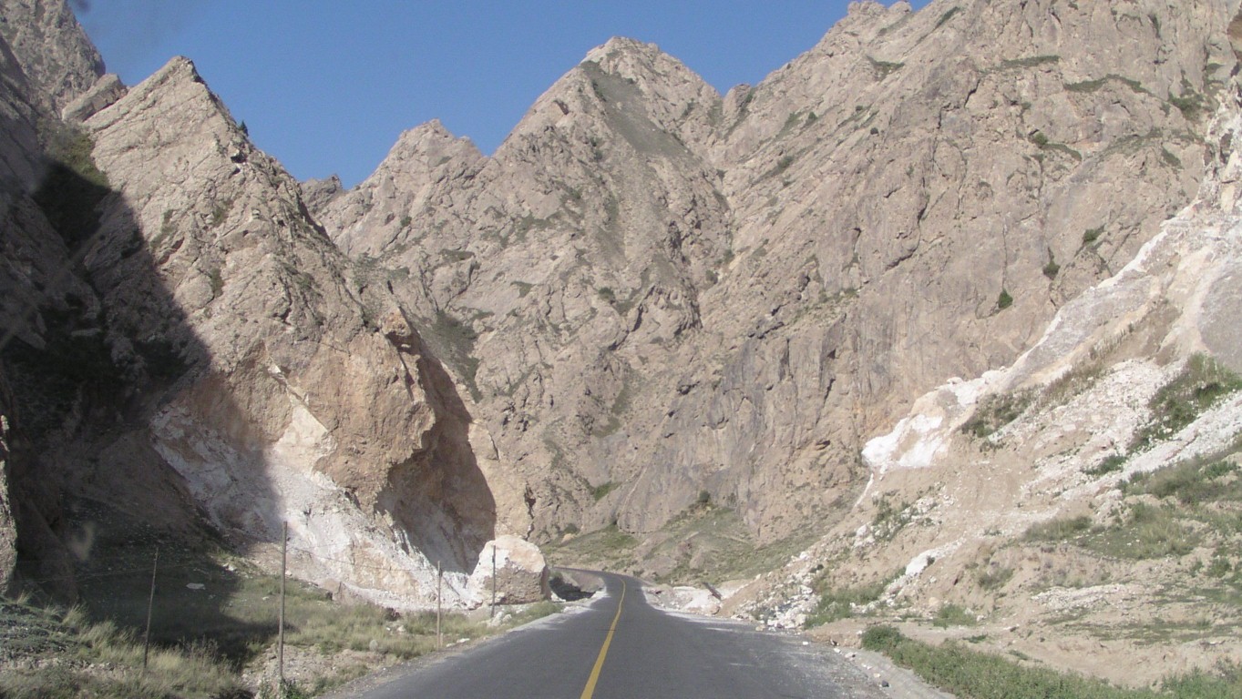
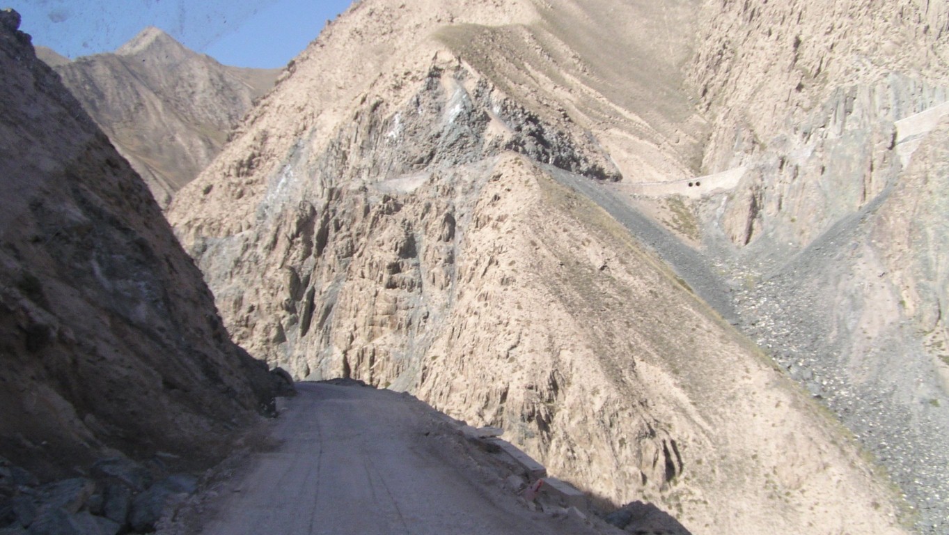
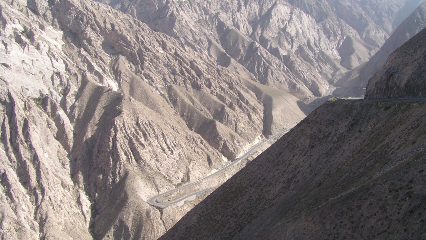
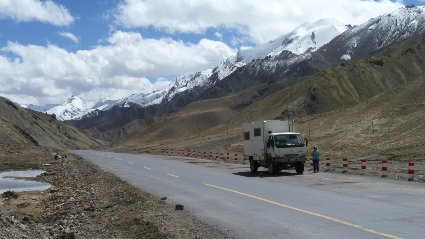
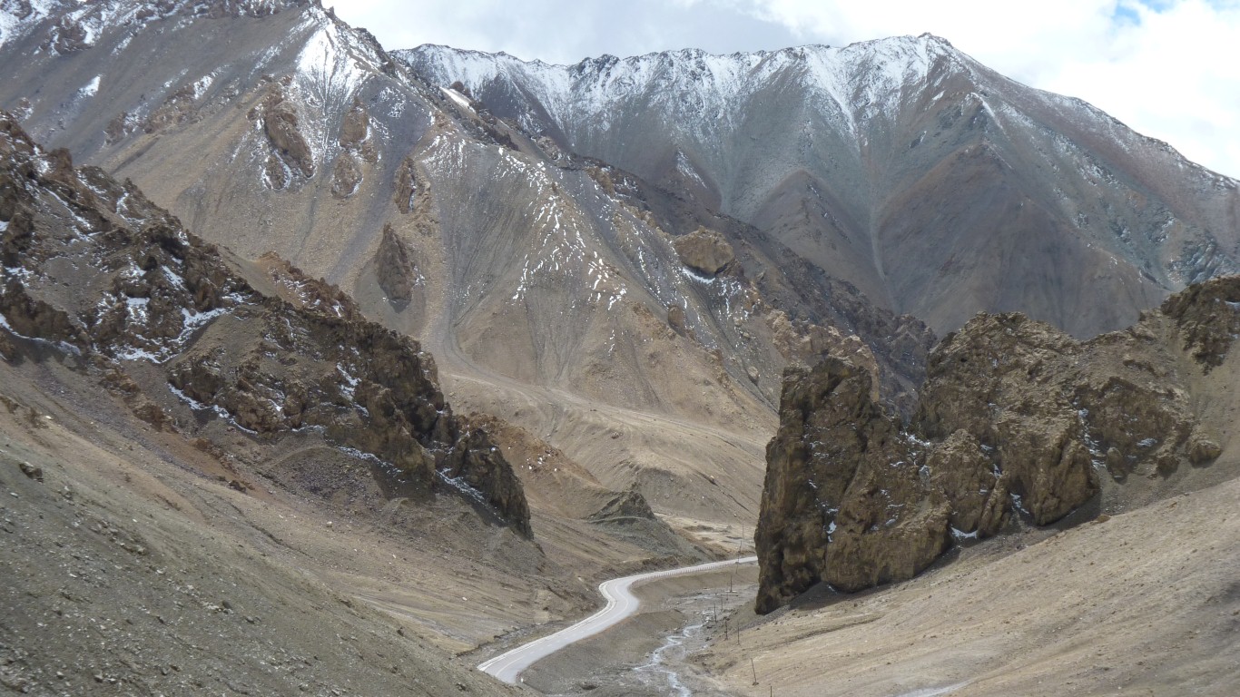
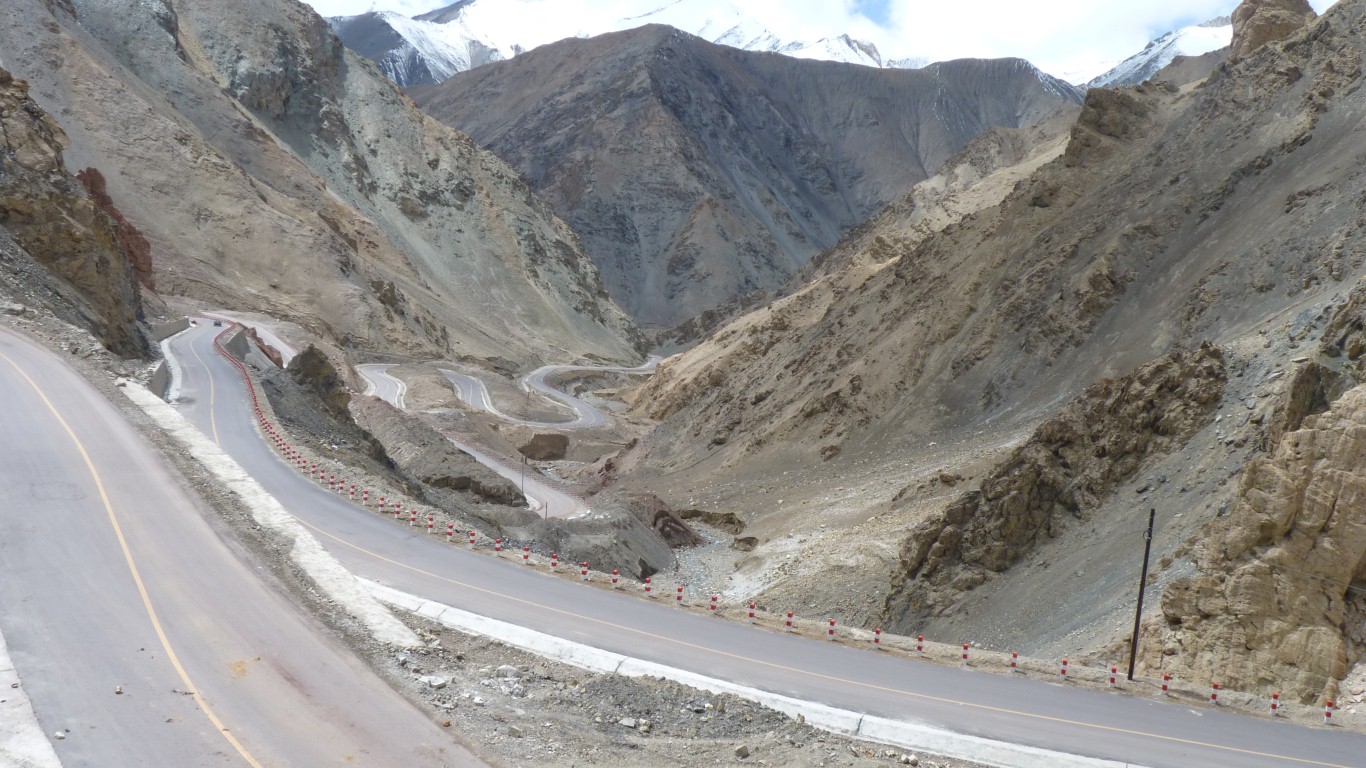
Up from the plain.
The road is visible way above us.
No crash barriers was a bit unnerving.
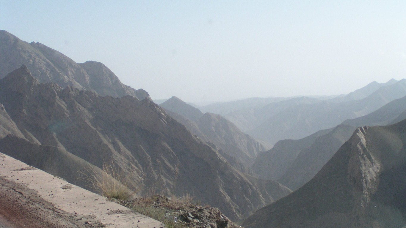
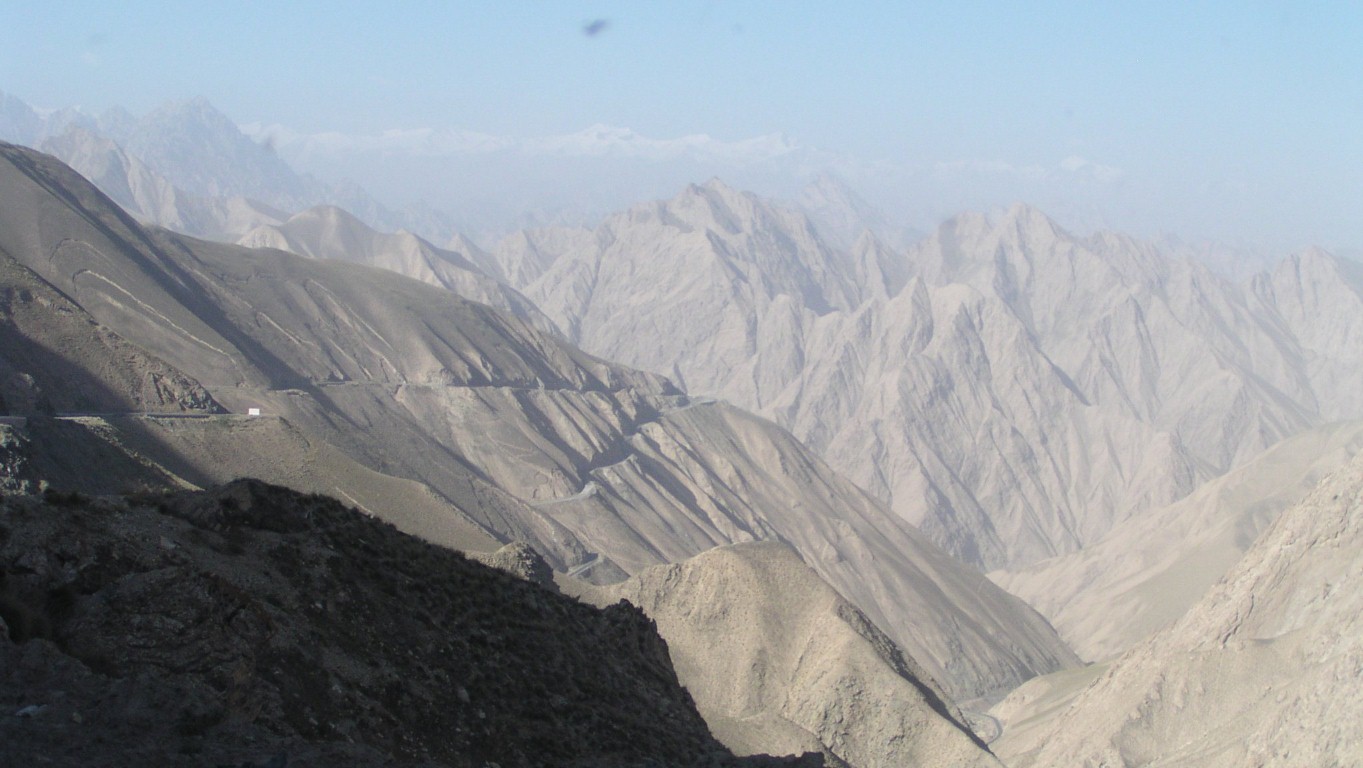
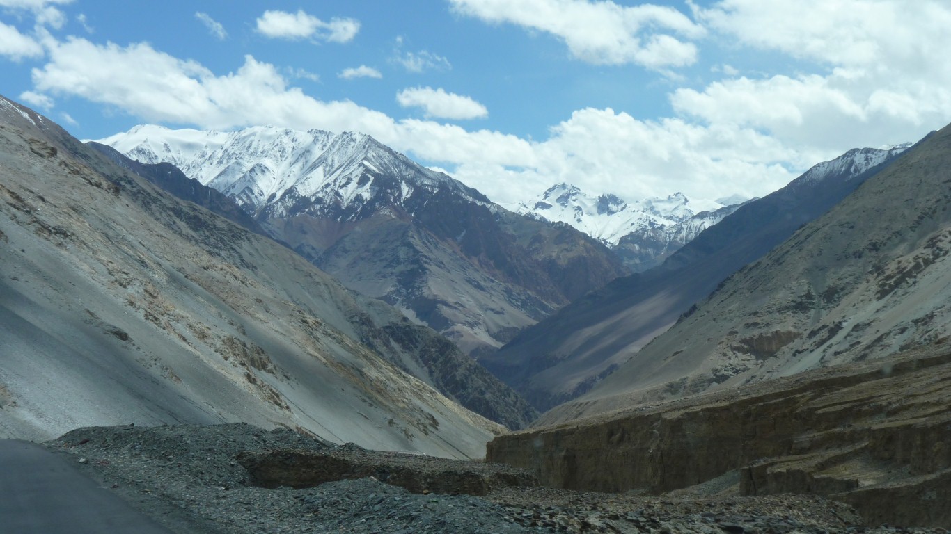
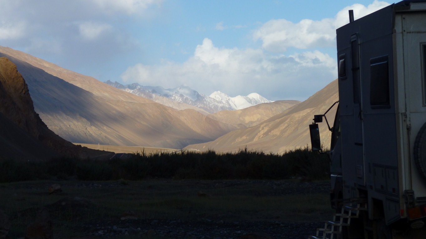
A glimpse of snow topped mountains in the distance.
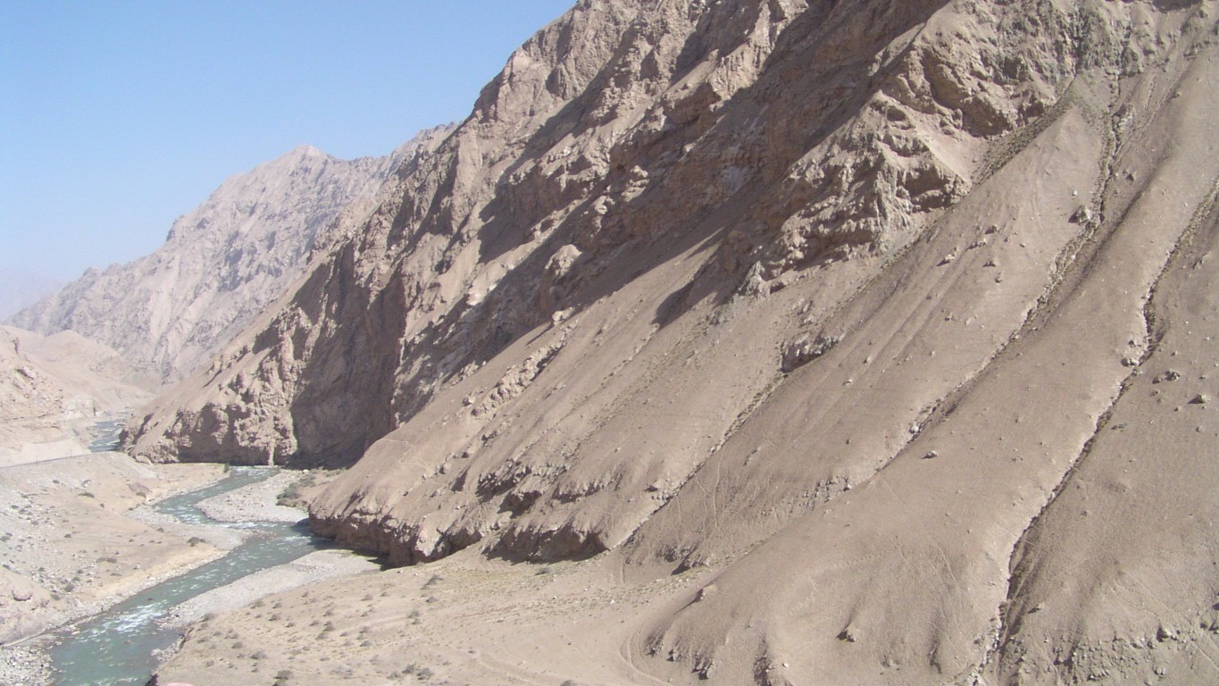


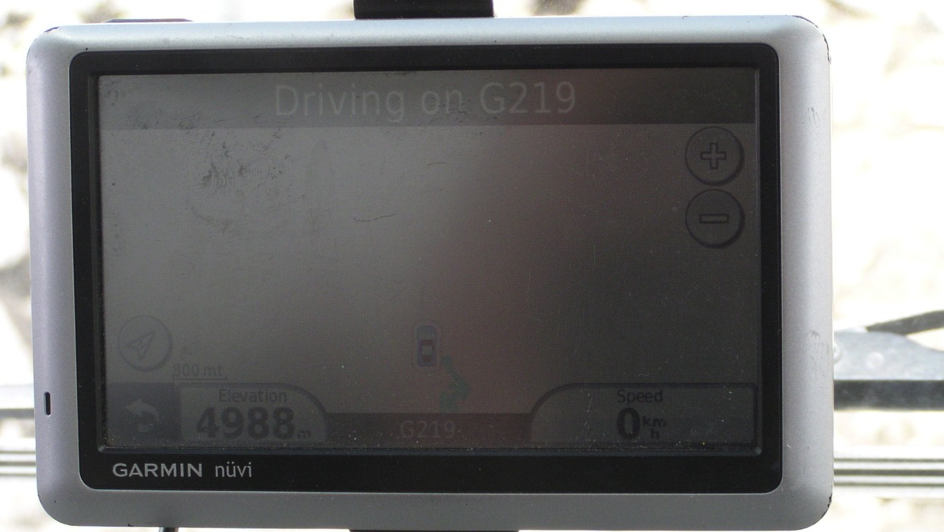
The red engine warning light has behaved itself. It comes on when speed and revs reduce. Above around 1800rpm pushing uphill its off.
On all the way downhill to around 3,800m.
I suspect the Chinese diesel may provide more power. Driving "feels" differentand fuel consumption may be lower.
The only error message is "Turbo Boost Pressure". Which makes sense at altitude. The errors first seen, like engine running in reverse, can be reasonably considered "furphies".
A sense of relief, the red light is understood and predictable.
The OBD cable which we will meet in Lhasa won't be wasted, information about the engine is always valuable.
We learned that Chinese GPS have the coordinate functions disabled - they neither report nor accept latitude and longiitude.
Which meant that the plan to tell Rob and Clary our campsite coordinates each night was a tad flawed.
And explains why, even with gps, guides sometimes have difficulty finding places.
The army have different gps units.

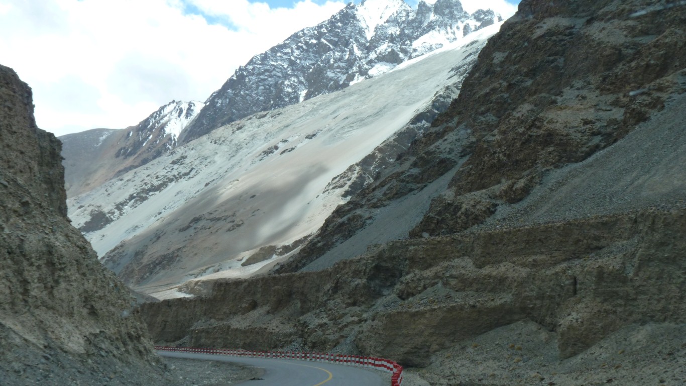
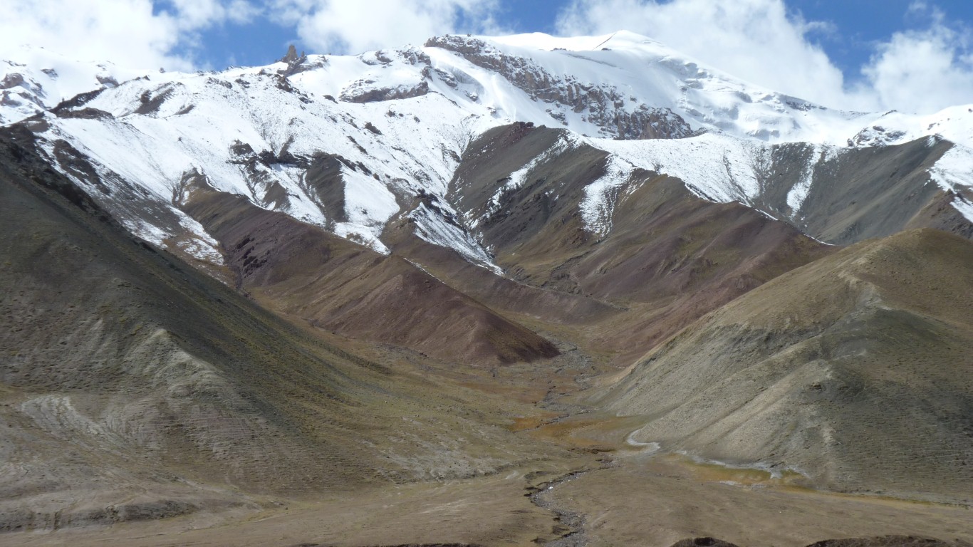
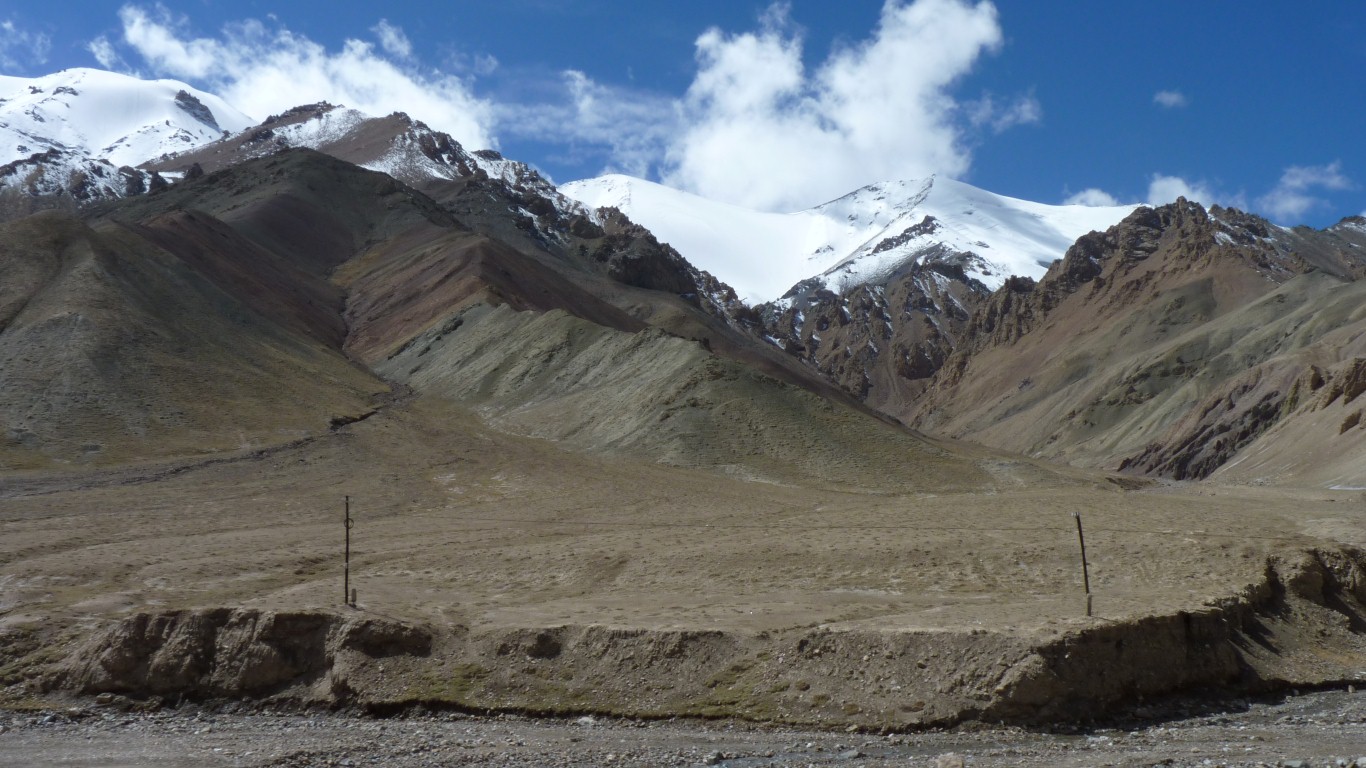
The reds are probably coloured by iron oxide.
Not sure where the mine is but we've seen trucks carrying what looks like magnetite.
A long way to go to the iron and steel works we saw, and not enough trucks to sustain that size of plant.
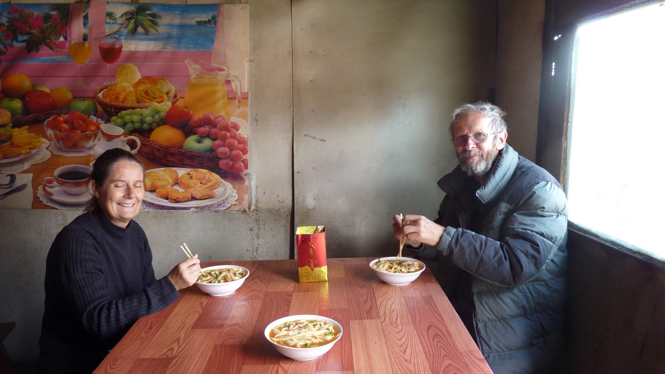
For noodles.
A transport caf.
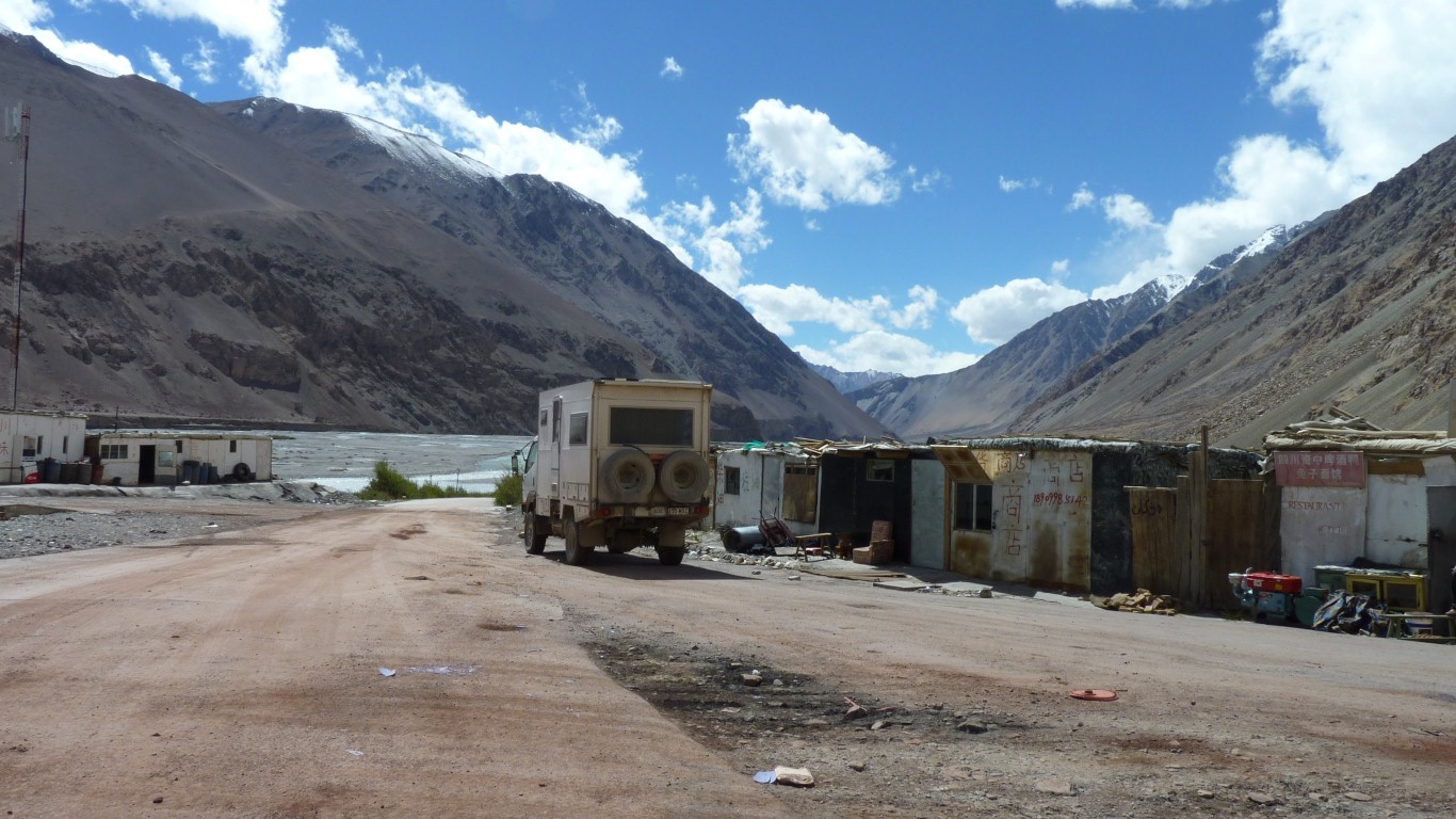
We turn left. Sort of over our left shoulder.
The valley in front leads over a pass to meet the Karakoram Highway (to Pakistan) at Khunjerab, near the Pakistan border.
We came from the right.
To the left hand, totally hidden by the sides of the valley, would be K2 (Mt Godwin-Austen 8,611m).
We are in the Kunlun Shan. The other side of the border is the Karakoram.
And finished the birthday cake.