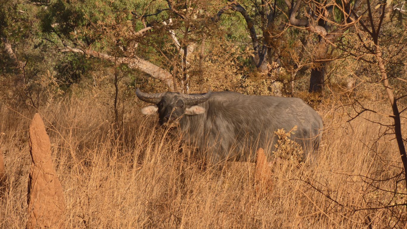
Or at least this one specimen admiring the truck as we drove past.
I do like the ears ....
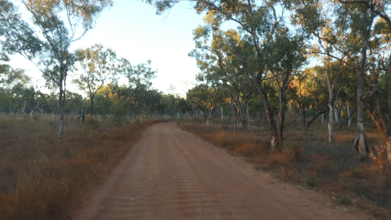
A brief detour southwards after joining the Carpentaria Highway. Sealed, but too lazy to pump up tyres as I would need to air down after Borroloola.
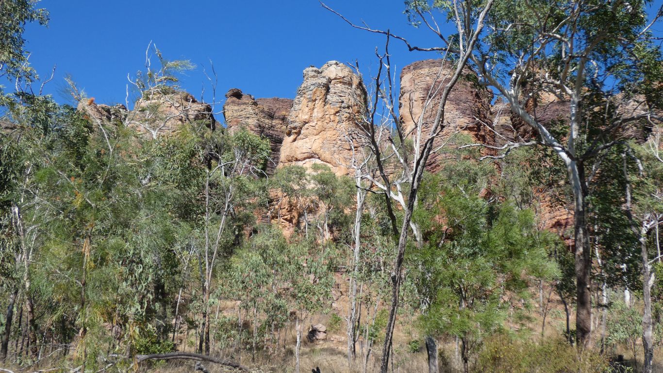
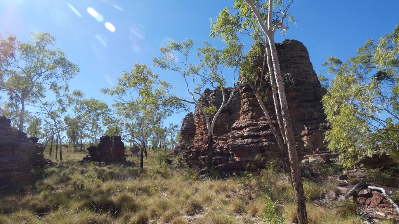
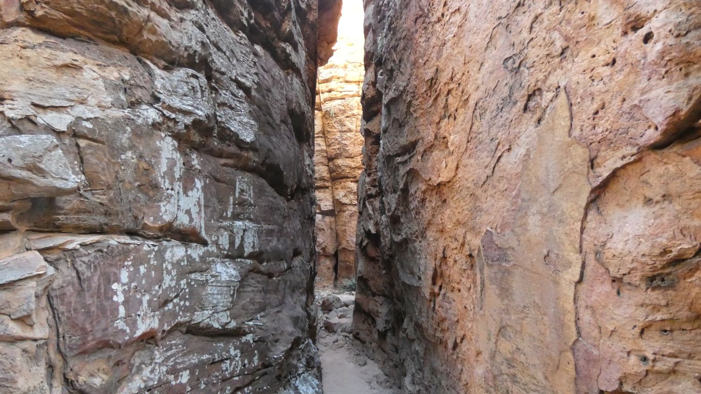
A small area of sandstone pillars and domes at Caranbirini Conservation Park.
Though perhaps tall pillars, close together.
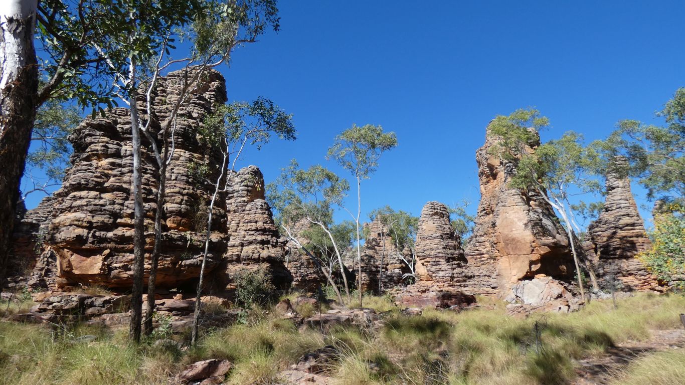
The interpretive signs talk of "organ pipes". And there I was thinking they meant the hexagonal pipes formed in volcanic basalt from slow cooling.
"What's in a name? I guess.
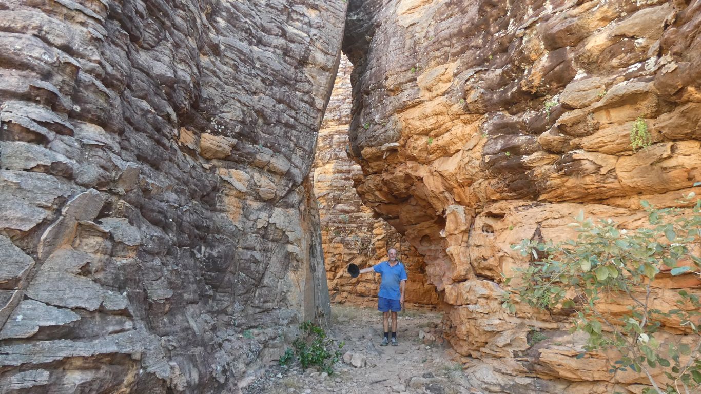
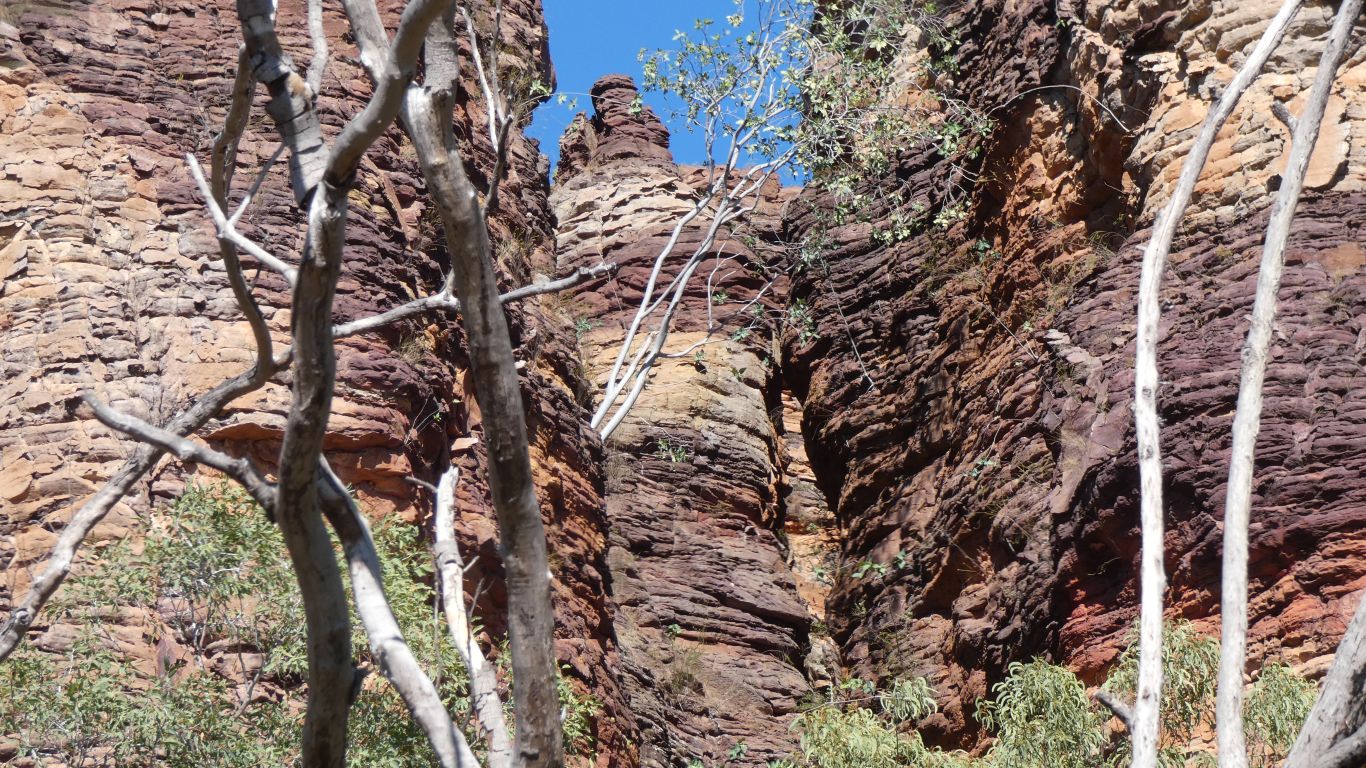
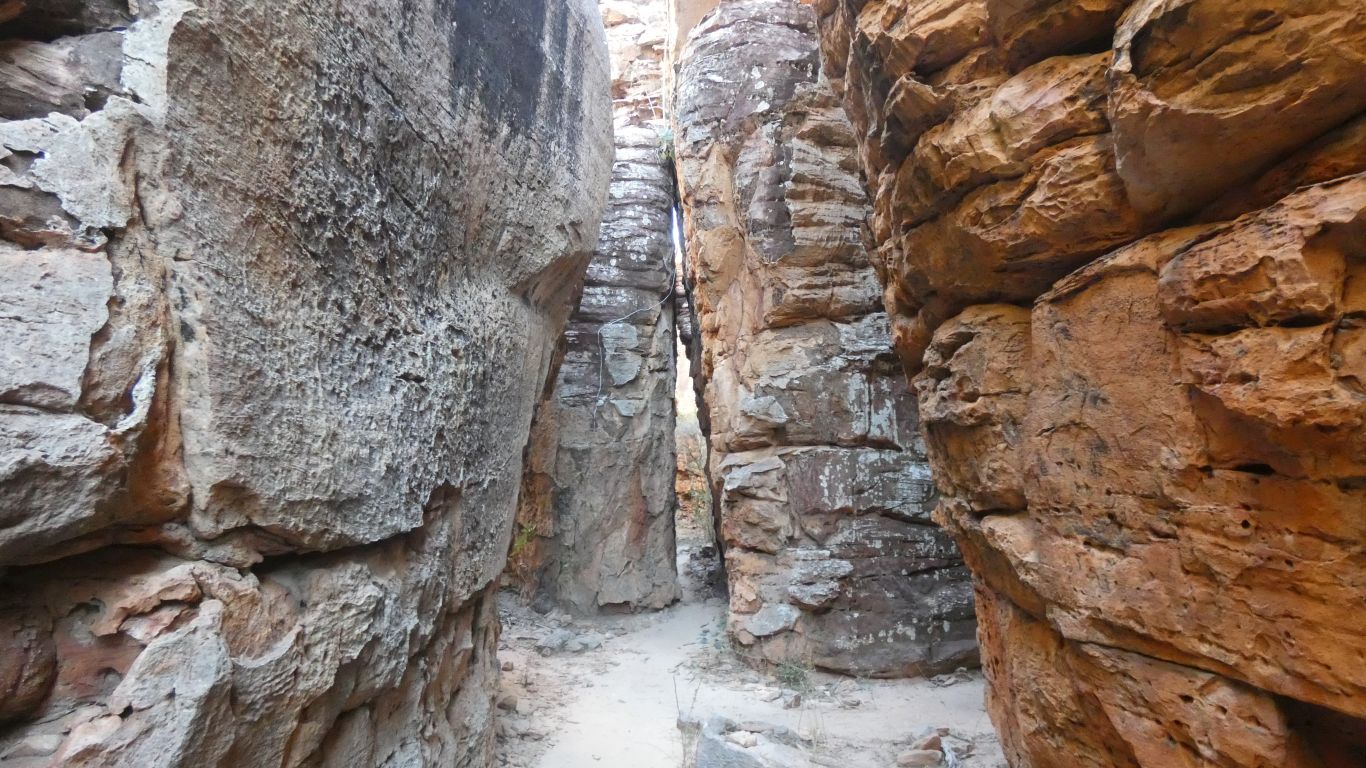
Didn't quite expect this.
I took my hat off ......
Around the outside there is boulders and scree around the base of the formations giving way to flat plain further out from the centre.
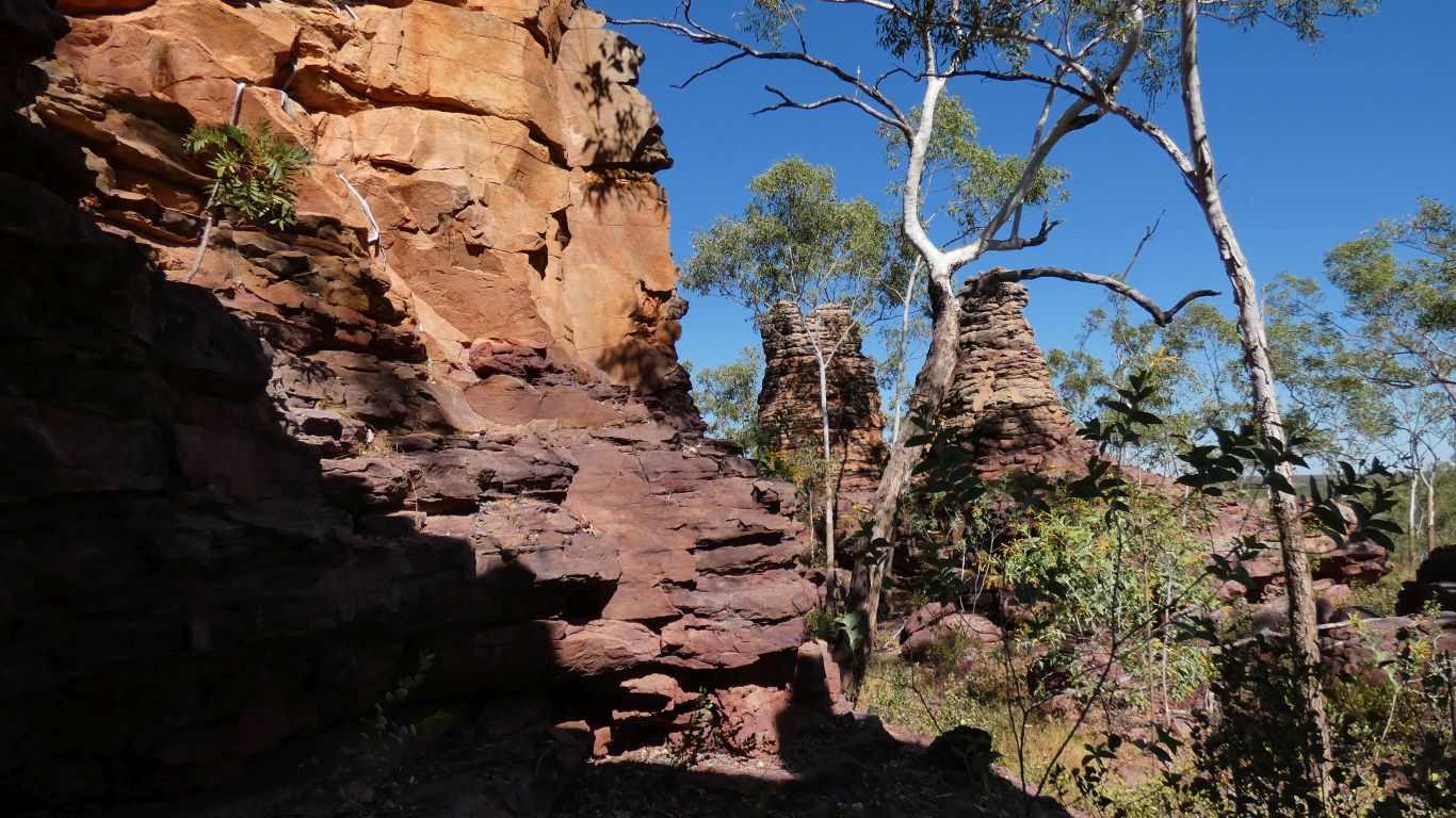
Noting similar colours to those seen in lost cities.
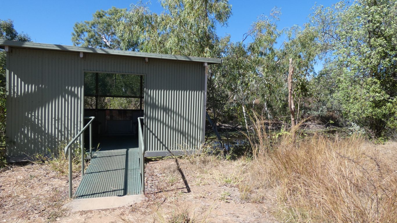
Note for Kakadu - the bird hide and railings have been recently painted. Well maintained.
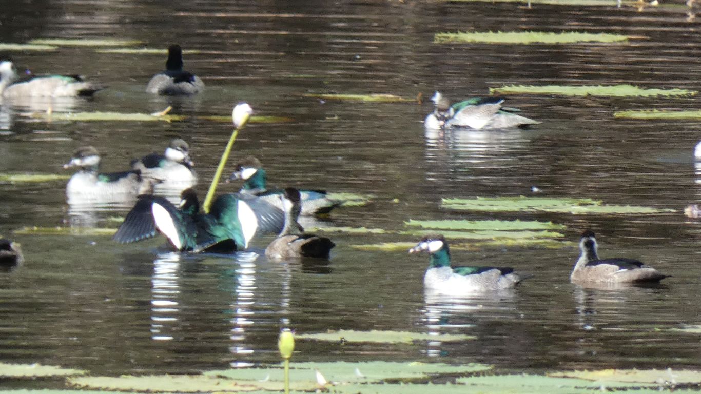
The light was just about right to highlight the green.
And let us see the difference between (we think) females, bottom right, and males, just to the left of female.
There was a fair amount of fluttering of wings and males chasing females.
At one stage about 20 geese in a group splashed the water with their wings, all synchronised.
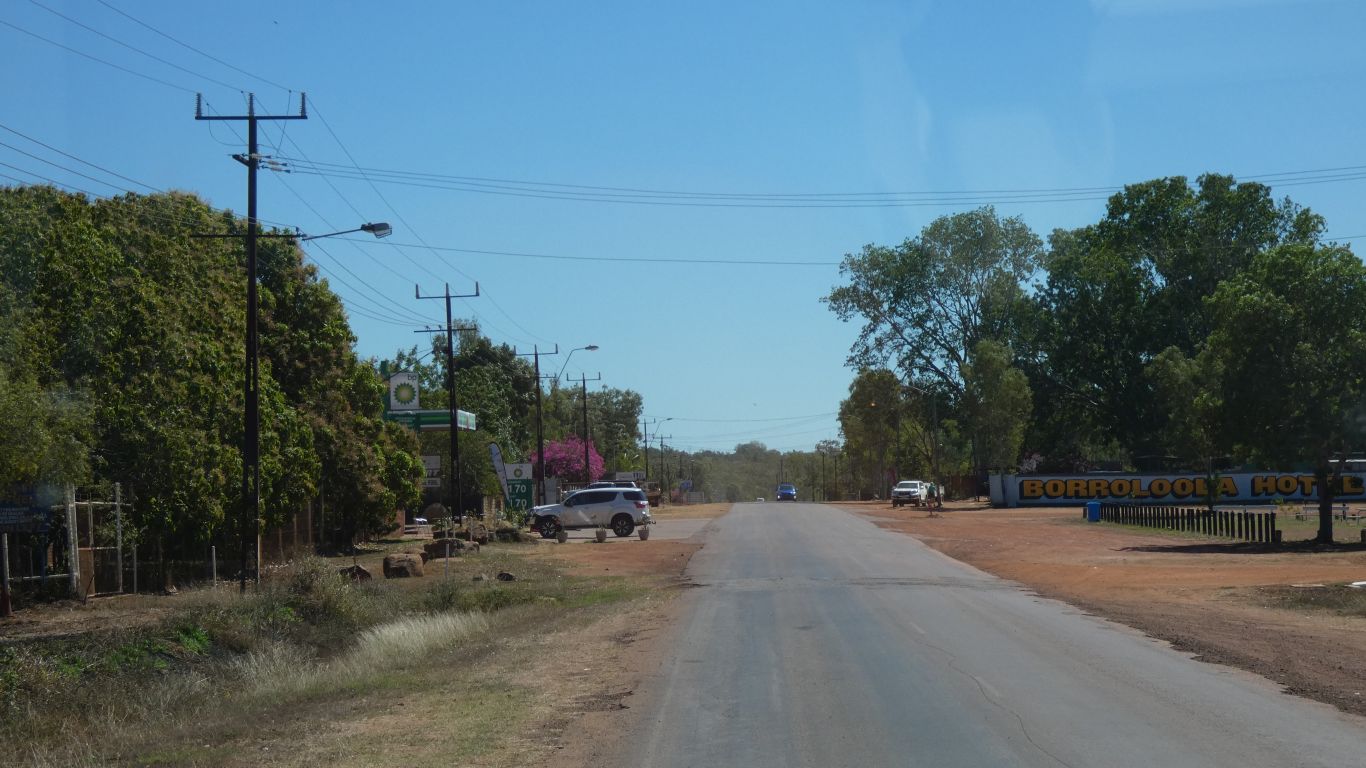
A few supplies from one of the supermarkets. Dump point. Water. Diesel.
And internet - surprisingly only 3G.
E-mails, news, banking, sharemarket, and complete the all important Queensland Travel Declaration Pass (Type Green).
We are free to enter Queensland from Northern Territory. Tomorrow. The pass is valid for three days.
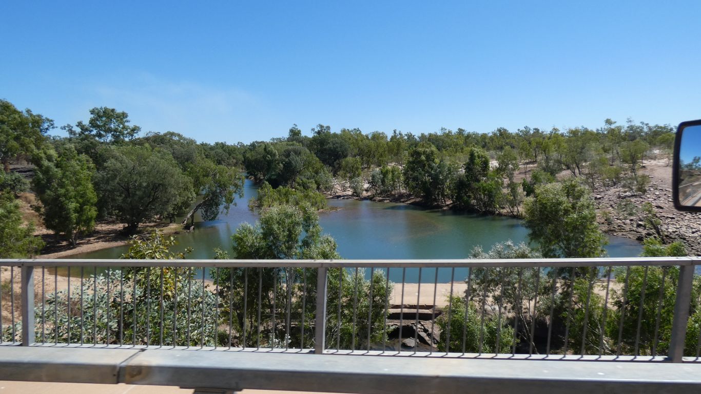

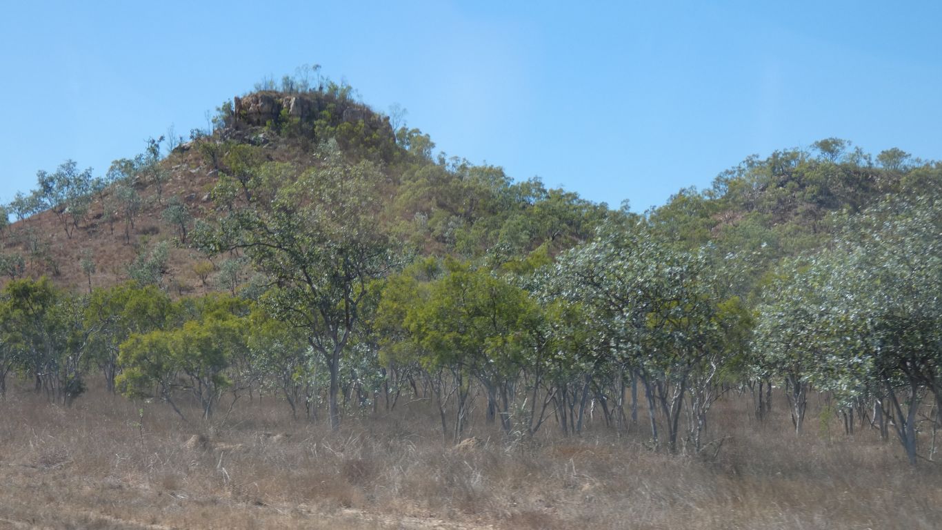
Large areas of flood plain as we enter Gulf Country.
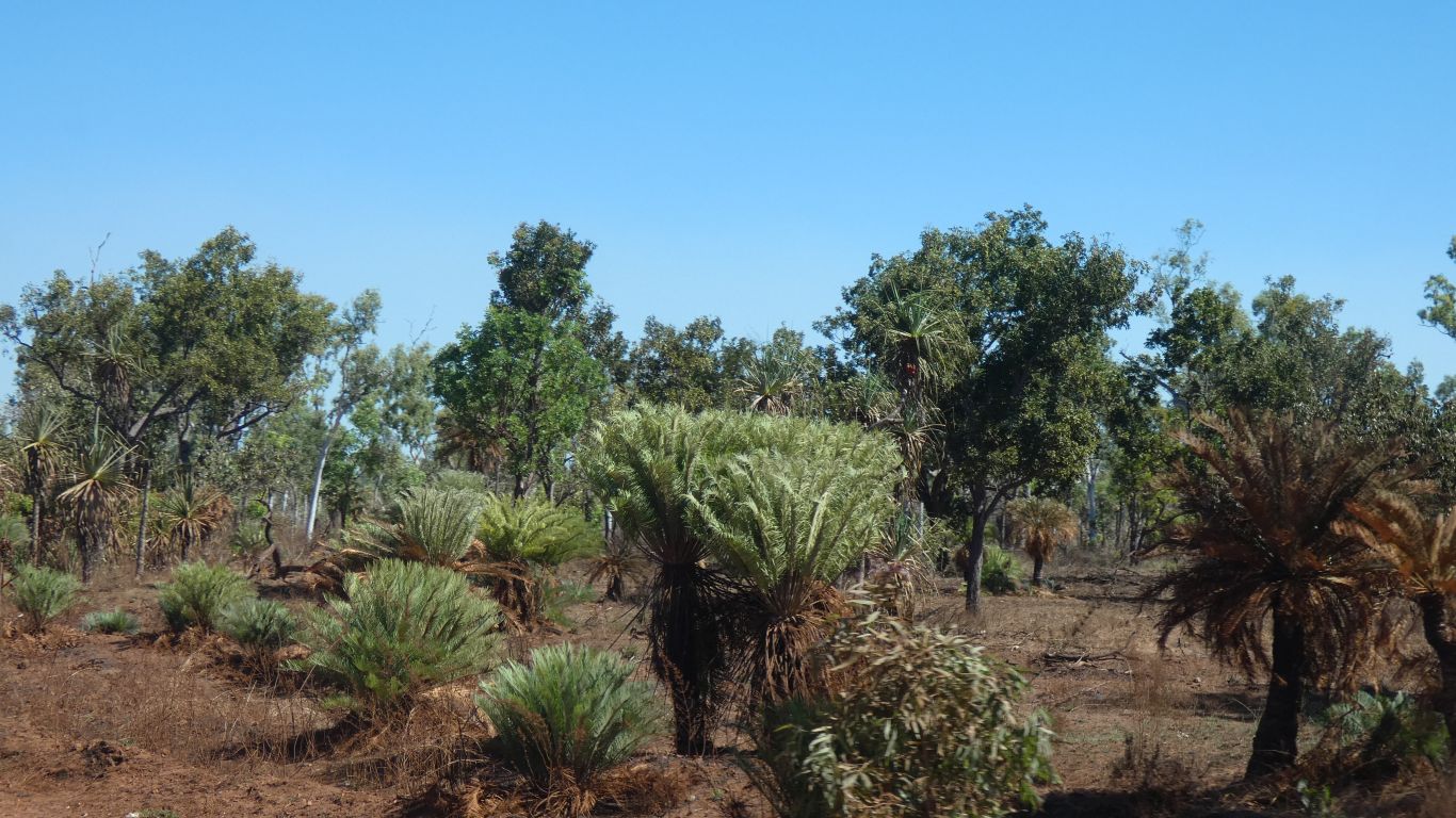
Pandanus, and some cycads among the bushes, trees and grasses.
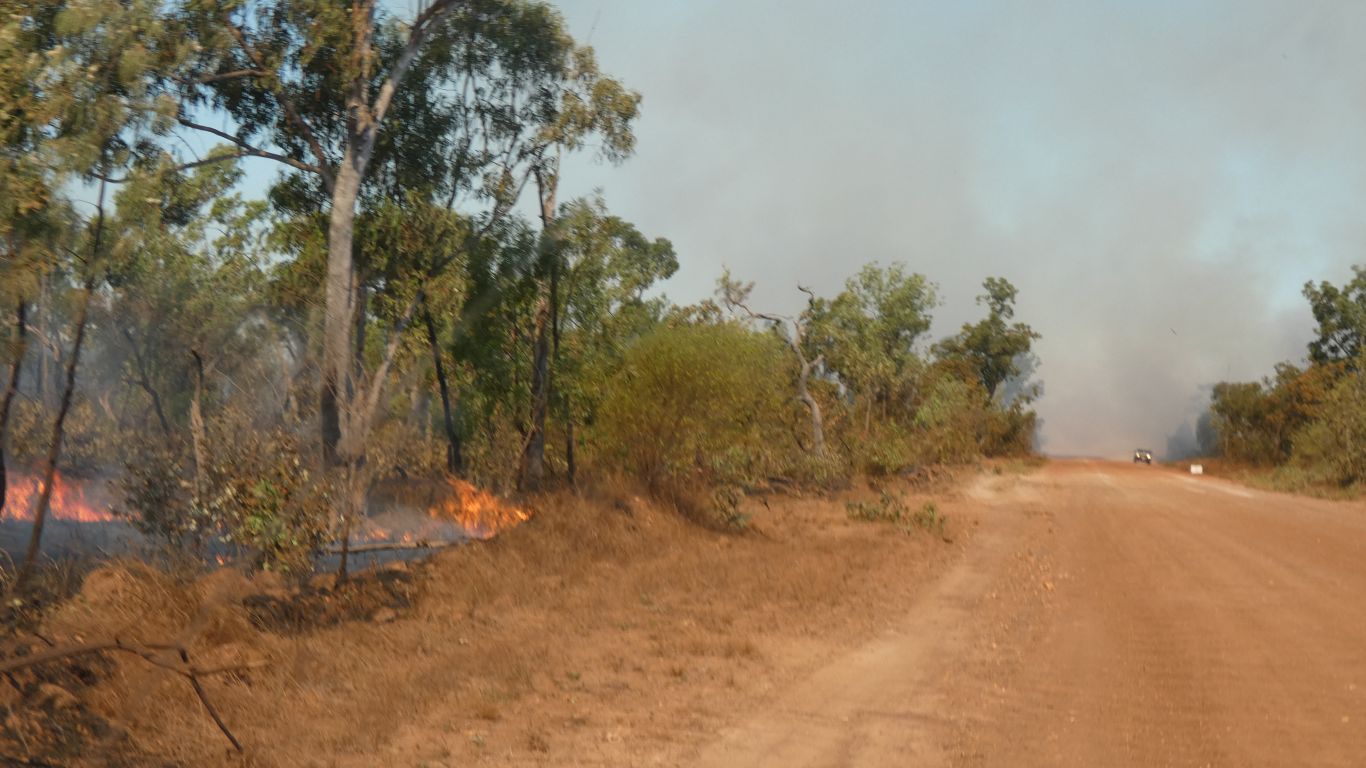
A car emerged safely from the smoke, giving us some confidence there will be a safe outcome.
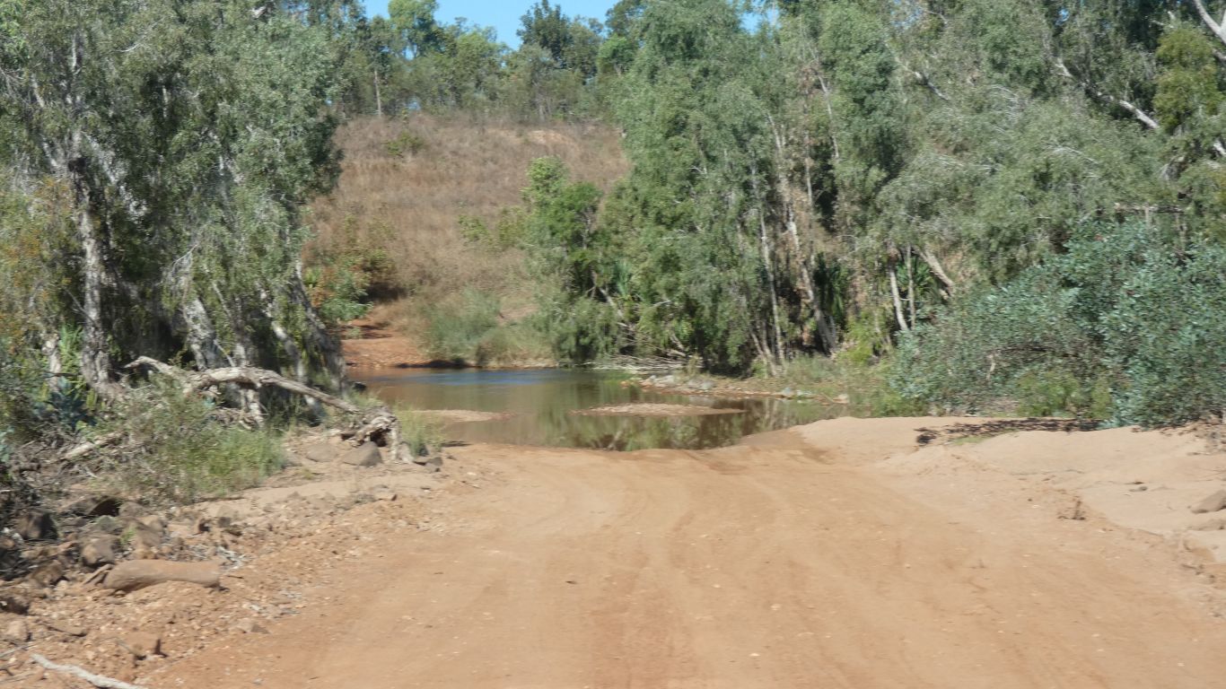
A small campsite on this, the west, side. A track on the east side leading north has several suitable spots.
Time to stop for the day after about a 300km drive, a 2.5km geomorphological walk, and all the things one does after not seeing a reasonable town for a few weeks.
We didn't indulge in ice cream purchases, but we replenished the chocolate biscuit supply.
Alcohol can wait.
When we camp we will still have 150km before the state border.