
It was obscured by clouds on the horizon. Which changes the light considerably.
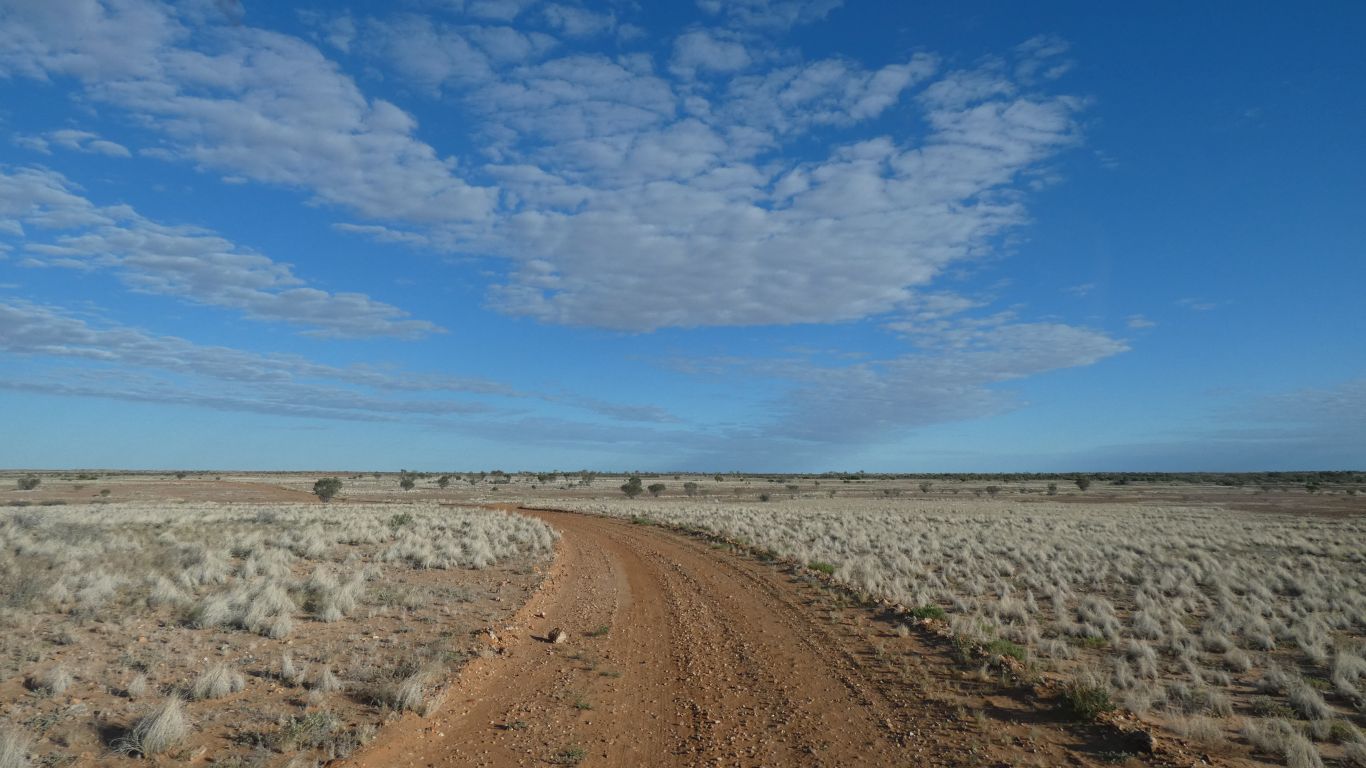
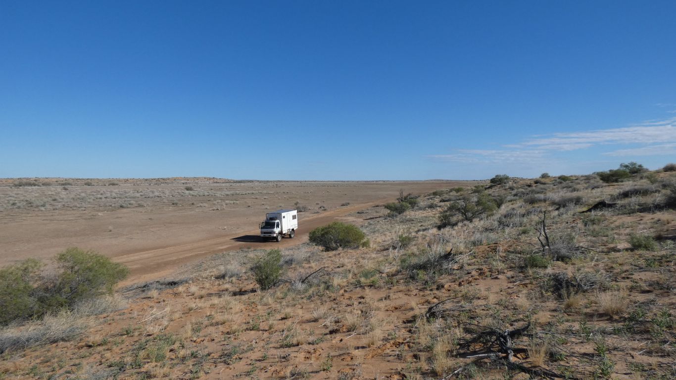
But we set off to drive 70km of circuit.
To the south of the main road, through the area where Spring and Gum Creeks disappear.
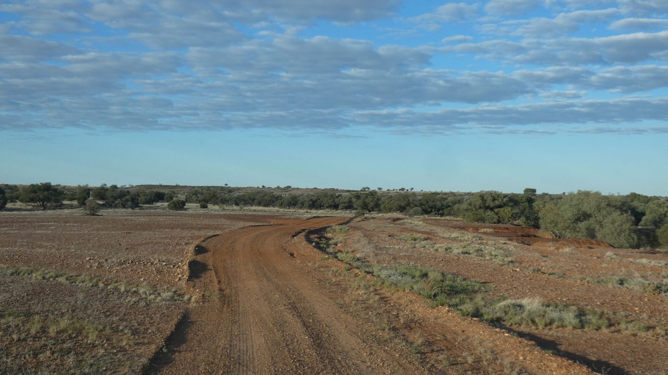
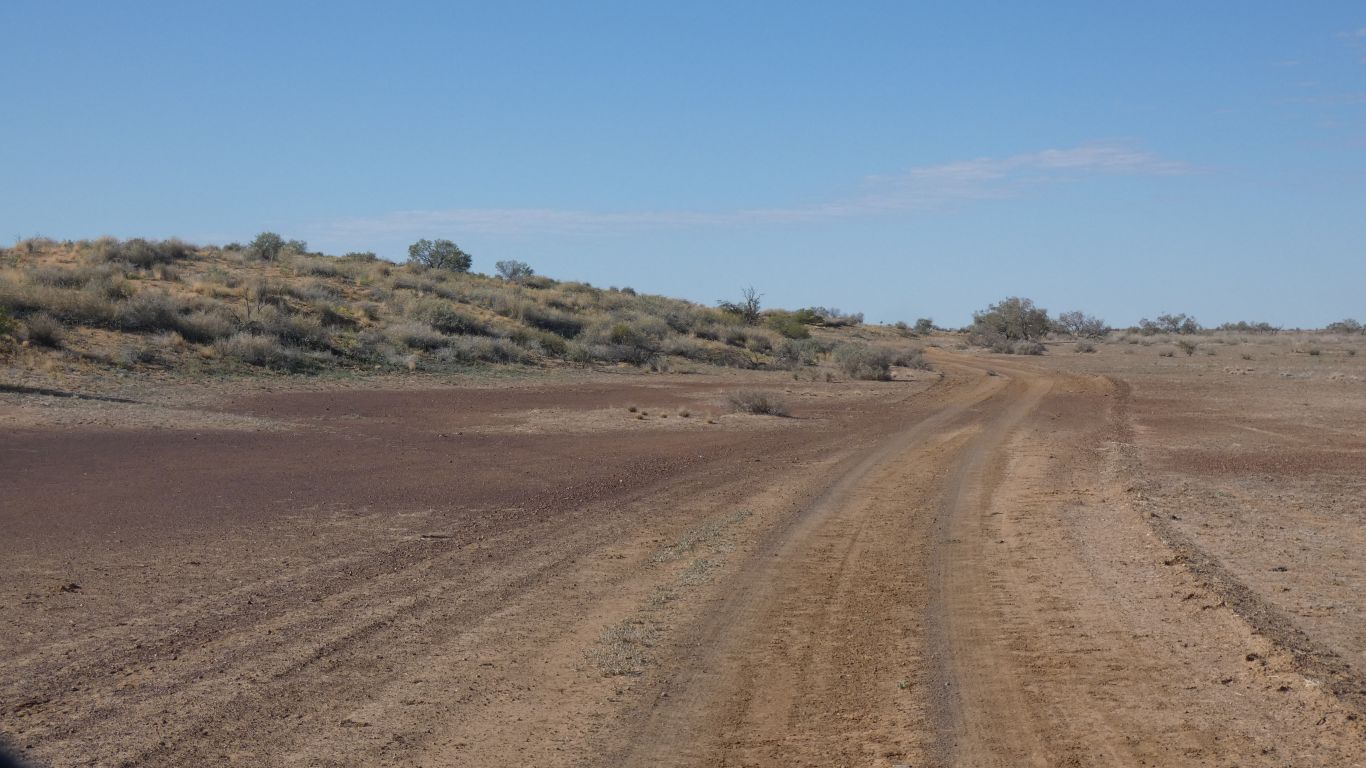
Station tracks (this is an old one) are different to roads.
Roads navigate around creeks to towns. Avoiding obstacles. Station tracks navigate to where people are required on the station. A different purpose with a potentially different outcome for us.
Not that clear cut of course. But we expect something subtly different to the recent roads we've traveled.
They vary between 200m and 1.6km apart. Parallel, like the Simpson. But nowhere near as long. Between 7 and 15km long. With lots of branches.
Average 15m high.
Wider separation than west of "big red", but lower.
There is a lookout somewhere near.Missed it. We didn't visit Green Tank, a side track. Perhaps it was along that.
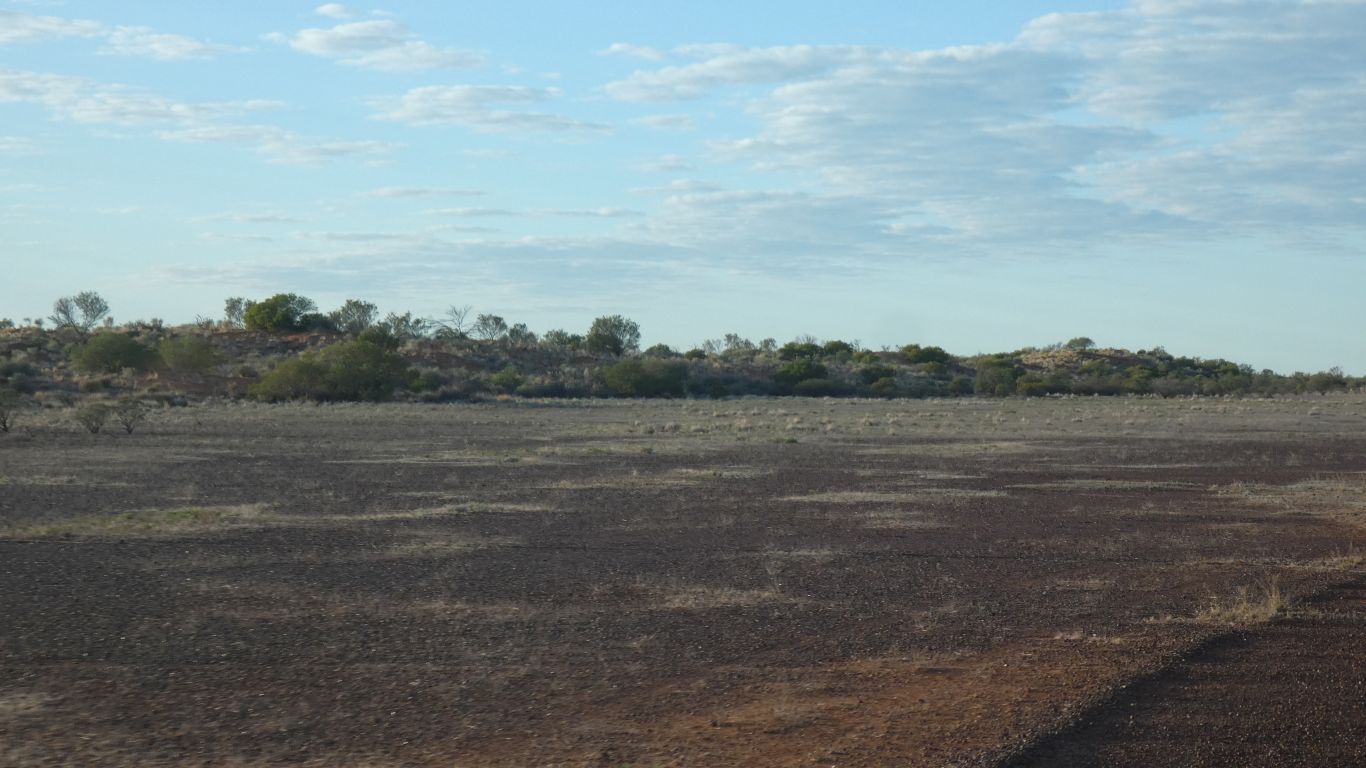
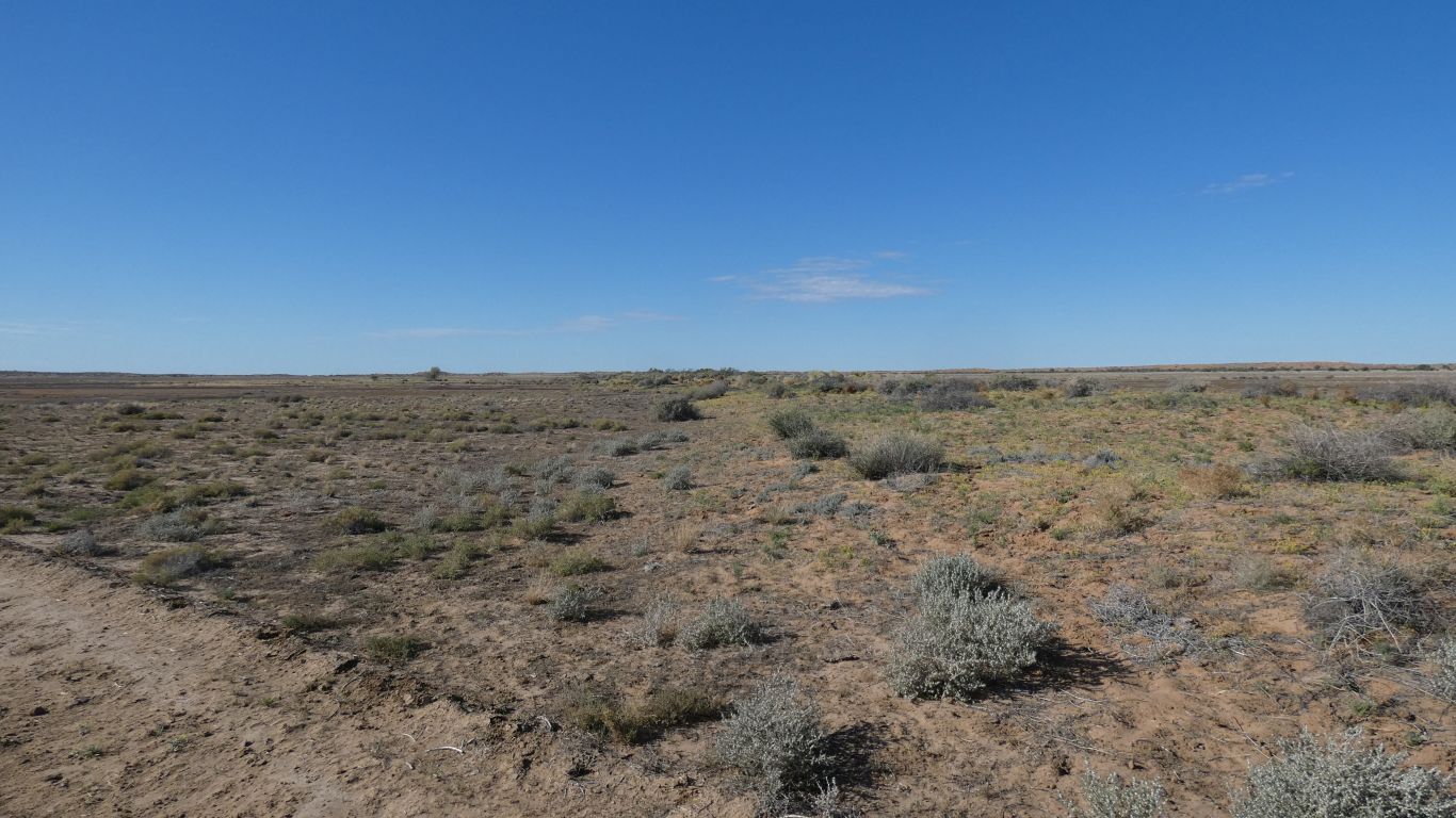
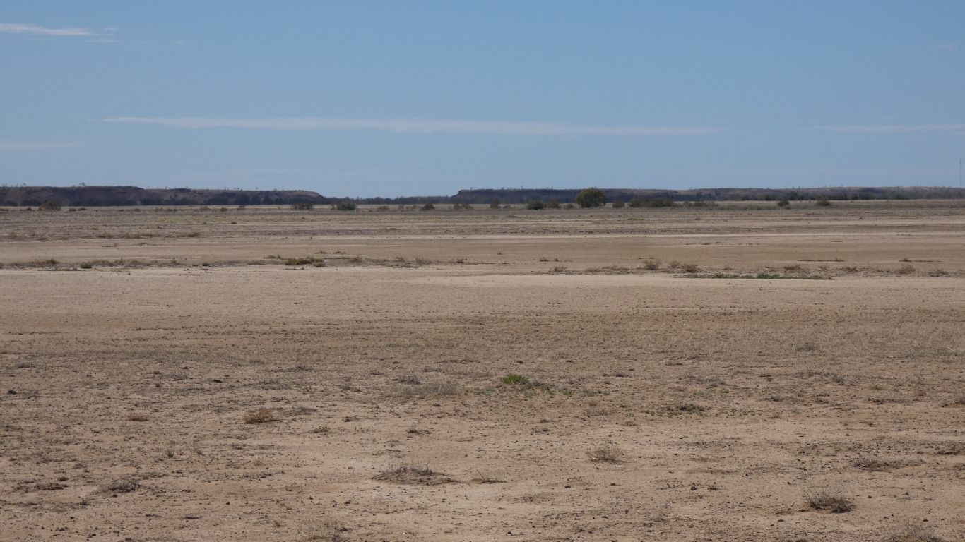
We are seeing lots of changes in vegetation.

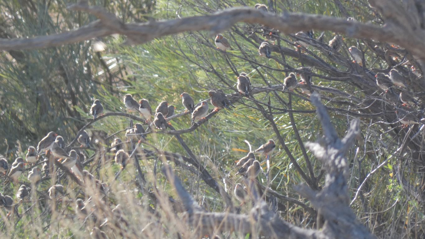
These two (of three) posed patiently while we stopped for pic.
Flew off when we started moving. We are none the wiser as to how they spend their days.
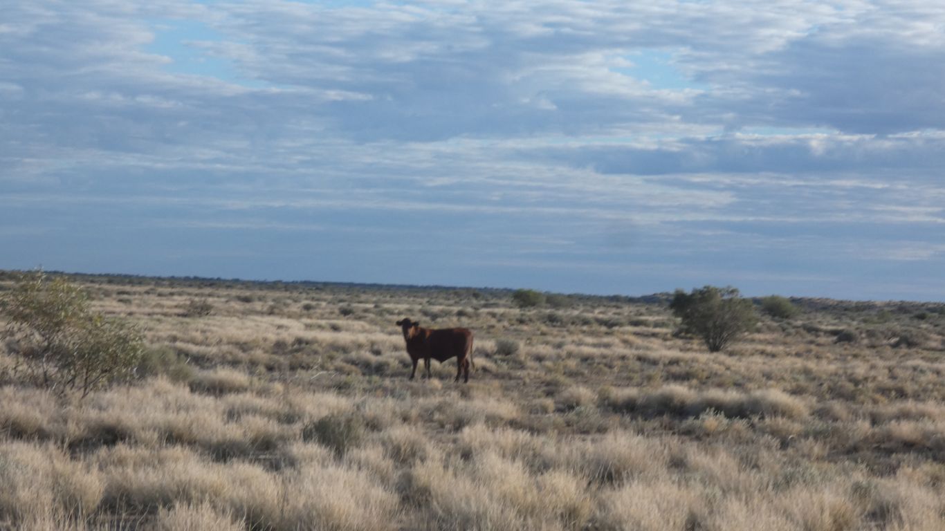
But since we saw neither kangaroos nor emus it will have to do.
There was a small group of about 10, with another 20 further on.
The grass is longer than we've seen so far.
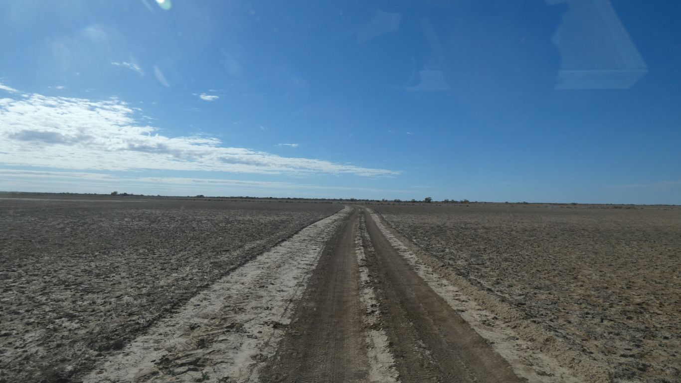
The track is between and around rather than over.
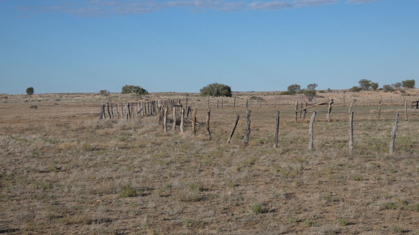
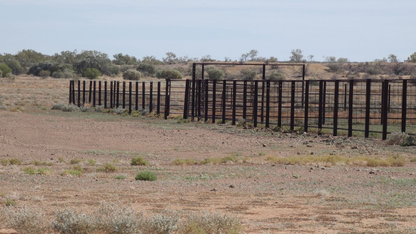
We pass the yard associated with Warracoota Waterhole.
We are headed towards "The Ruins". Near the edge of the park.
And we like the clouds.
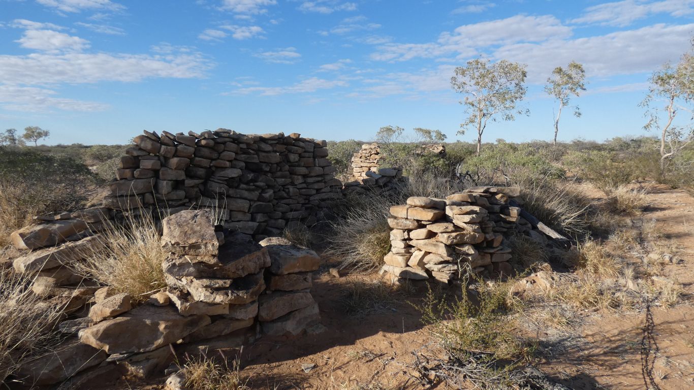
The origin and occupation are a mystery. To everyone, not just us. There's a small cast bronze sign that says so.
There's a few pieces of broken china, and a couple of bits of broken cast iron.
No old timber, such as would be used in roofing or door frames. No corrugated iron, there is usually some left even if most has been moved elsewhere. No nails. No fireplace or chimney.
The buildings are positioned on top of a ridge, lots of stones for building.
At least three ruins are small hut size, perhaps accommodation. Others are smaller, perhaps storage. Vaguely rectangular, with "obvious" doorways - at least entrances.
An intriguing mystery that must remain unsolved.
Opposite, upstream a bit. The stations have managers or leasholders. They don't have station masters.
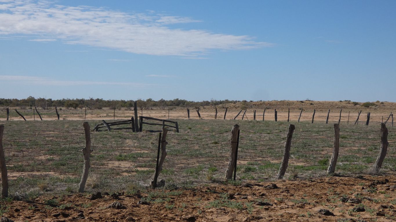
The boundary fence is visible.
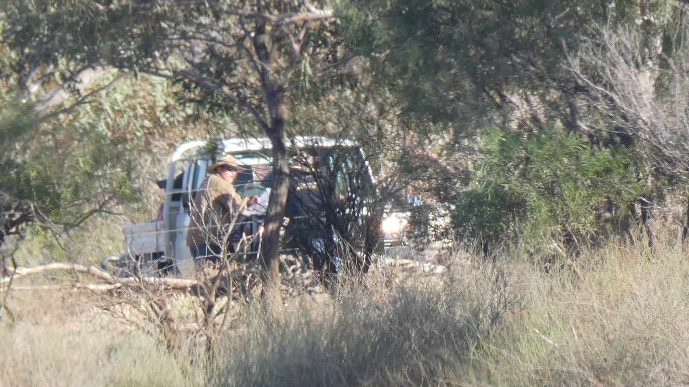
Perhaps mending fences and looking for lost cattle.
We know they haven't gone far.
Guessing Warracoota Waterhole is very long. We are 2km past the yard and from the map it looks like it stretches another 2.5km.
When I looked closely at this pic I can see about 10 ducks of some sort that I didn't notice at the time.
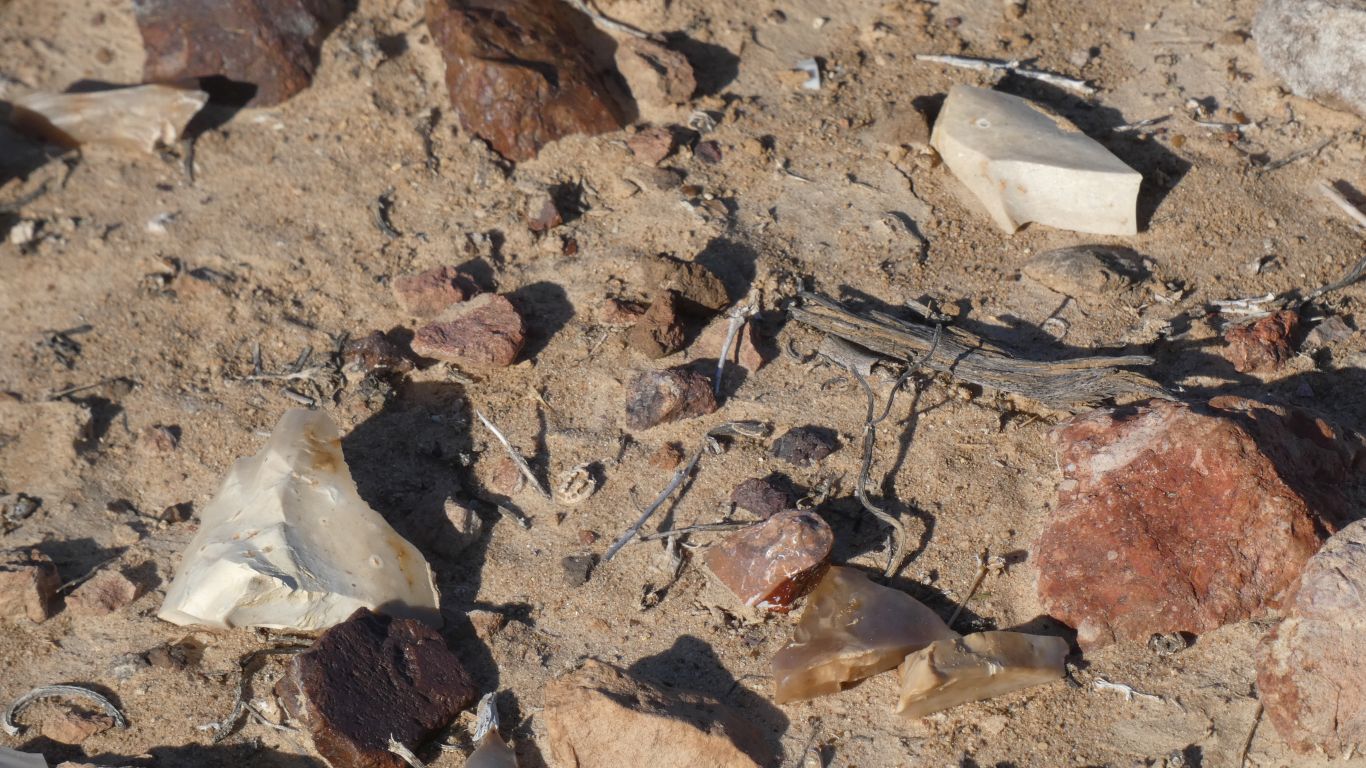
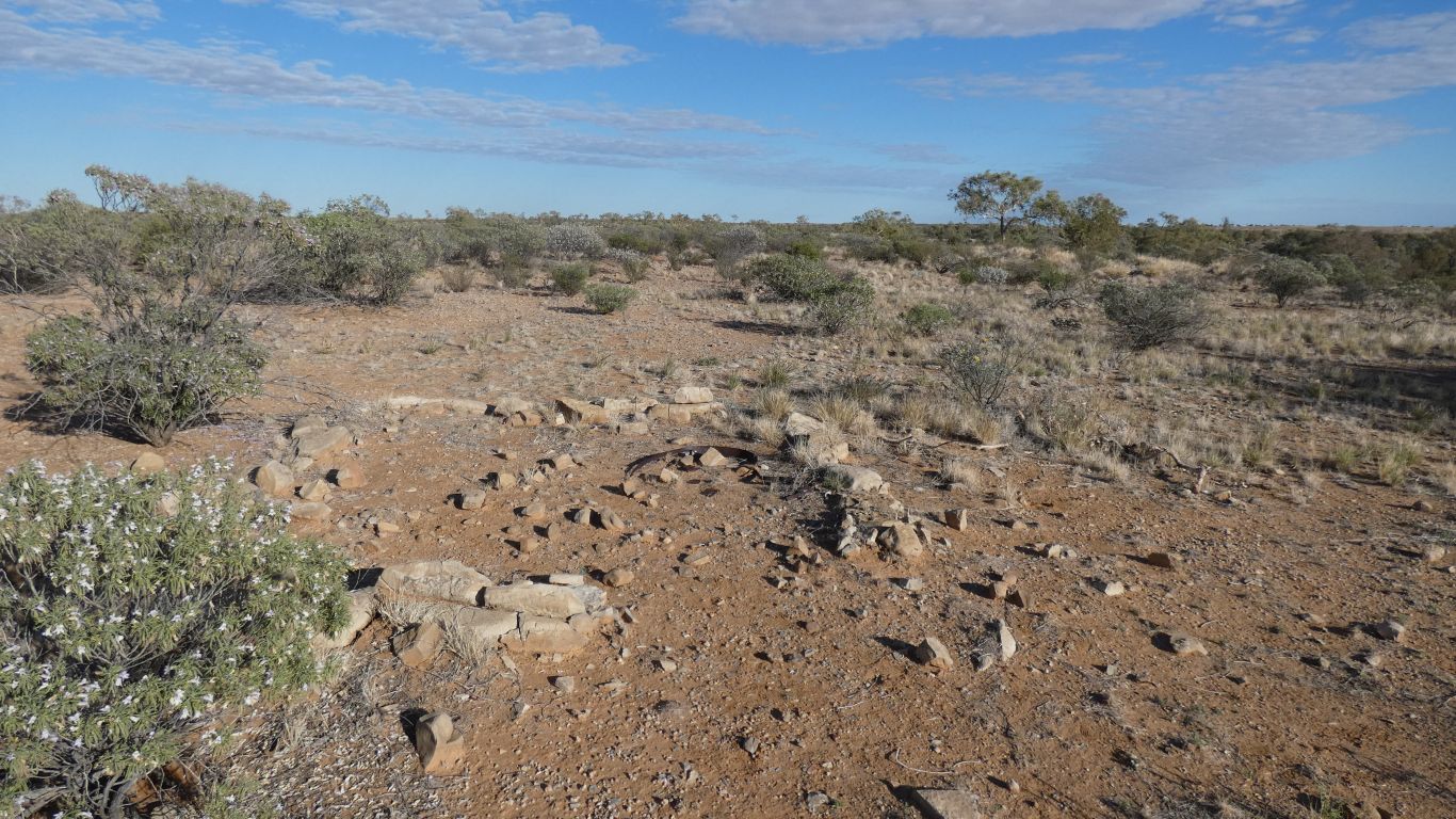
Stone chips.
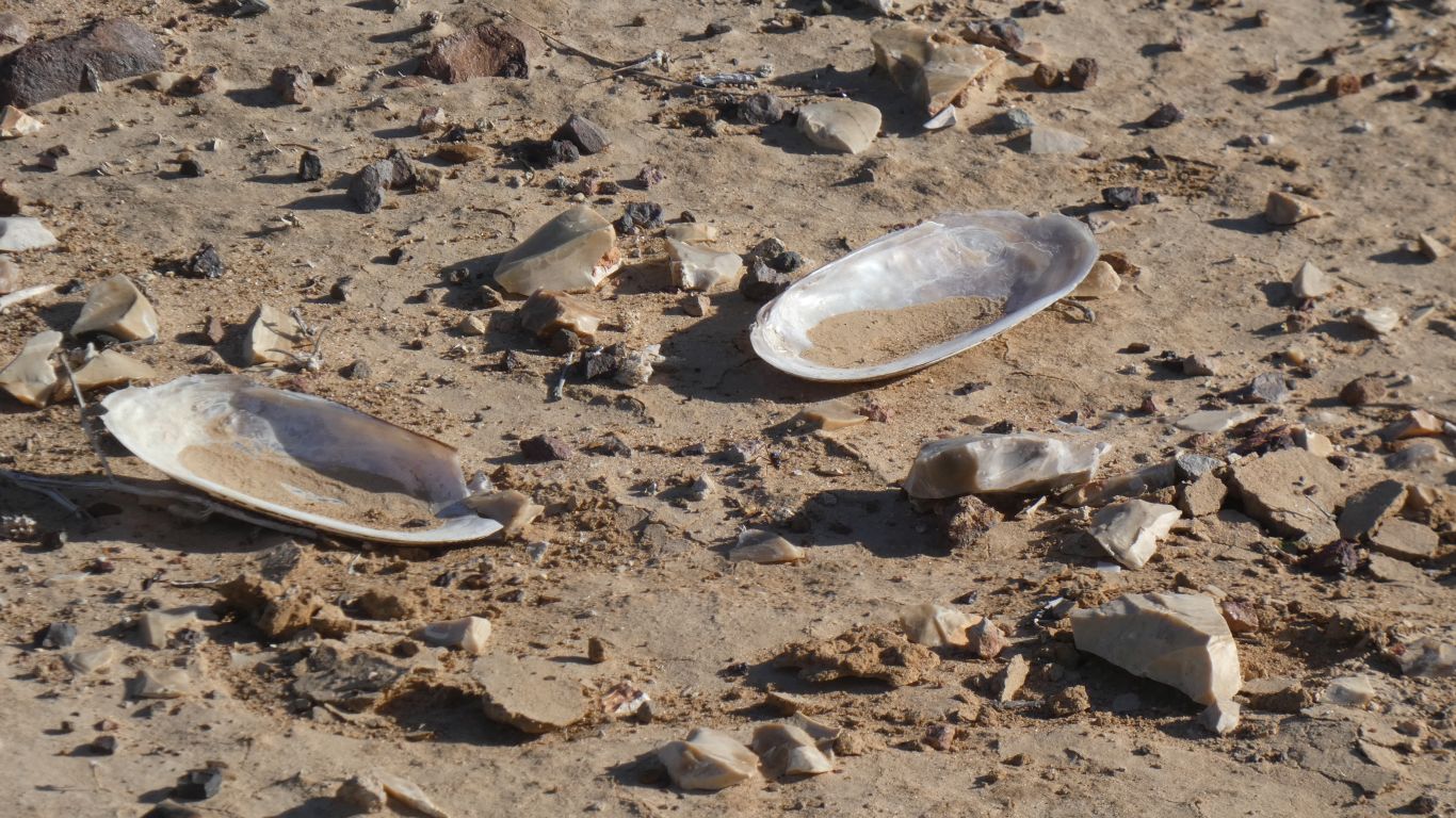
They've been marked with four star pickets around two small patches.
We have the usual discussion about how they got there.
The artefacts that is .....
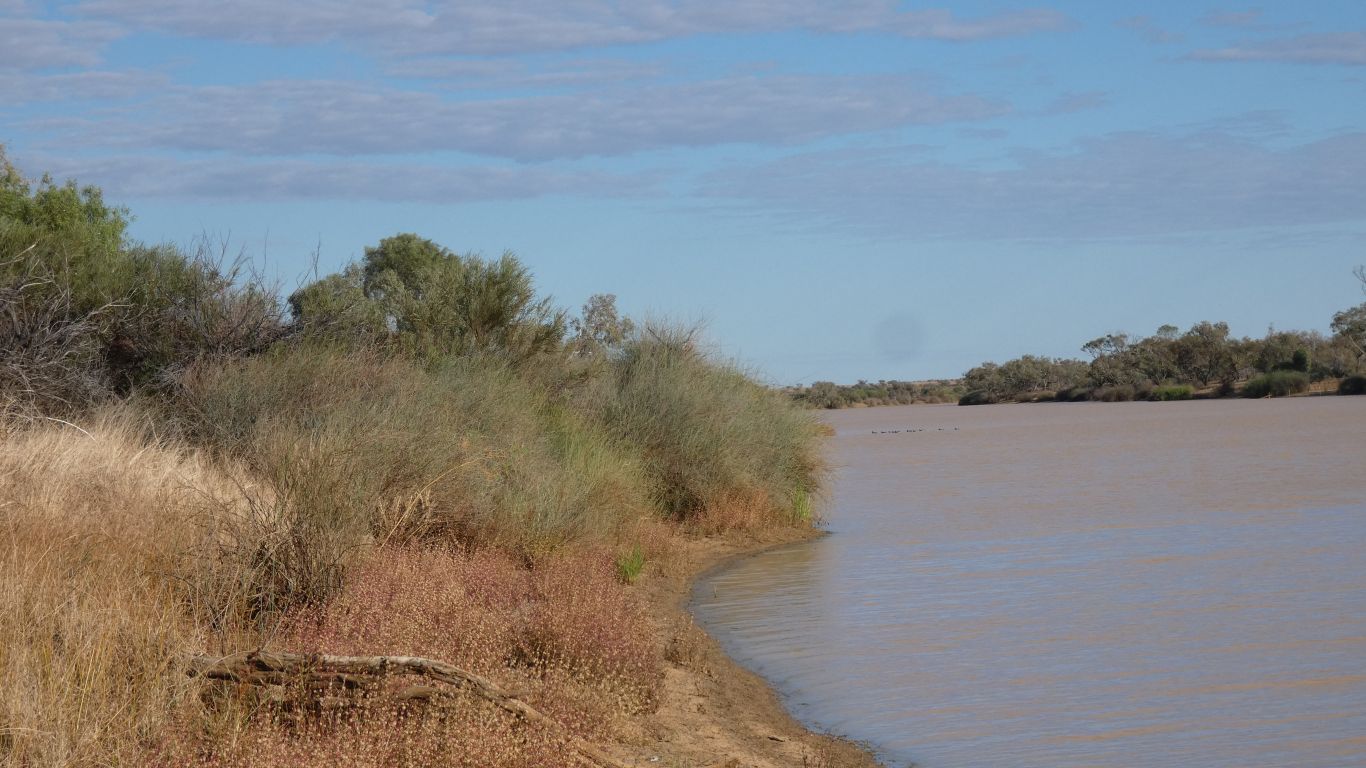
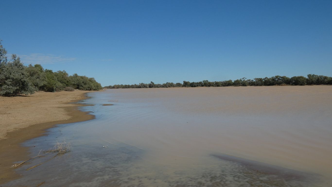
There isn't as much vegetation along the banks as we saw yesterday at Gum Creek. A thin line of trees and a few low bushes.
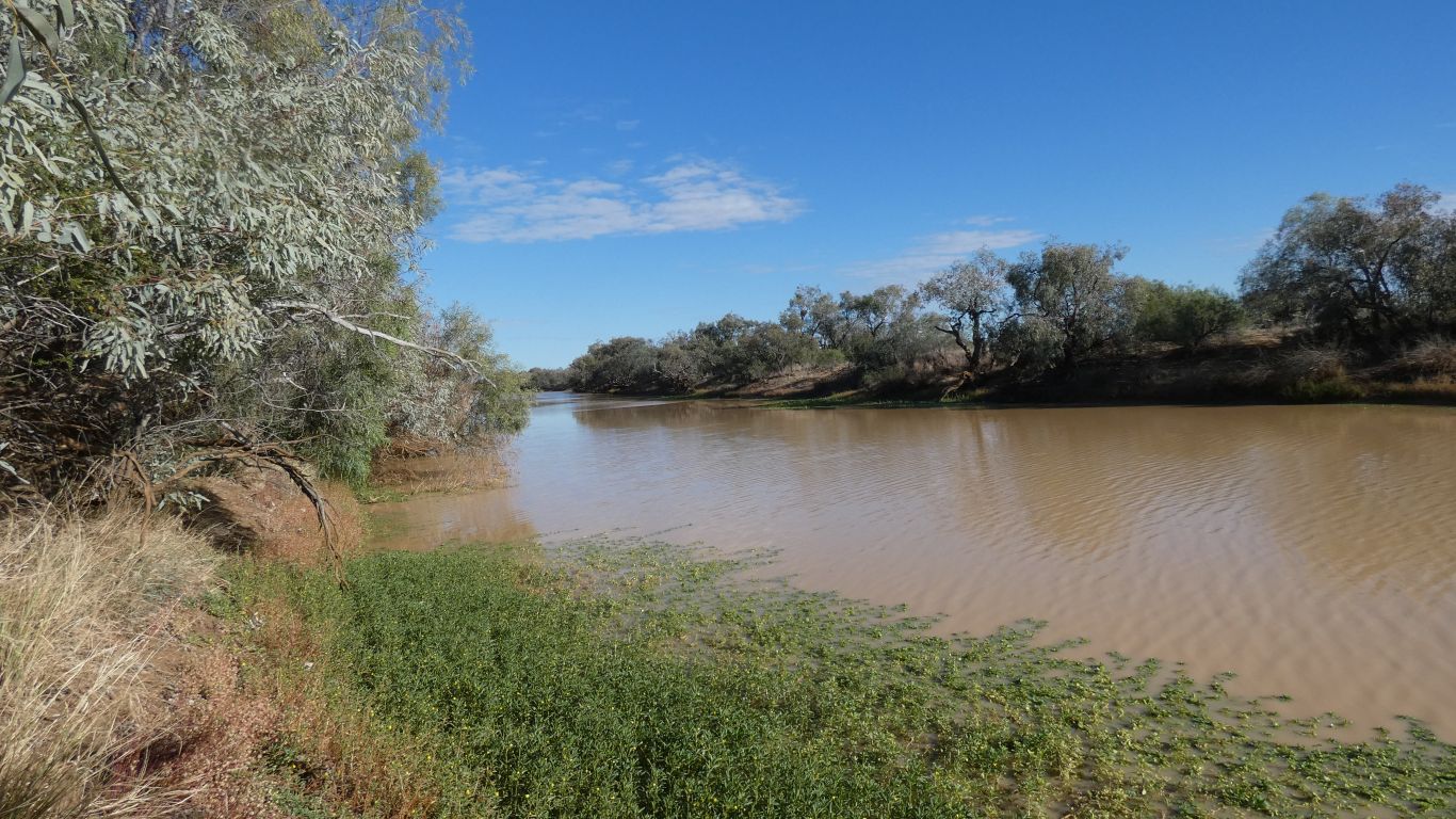
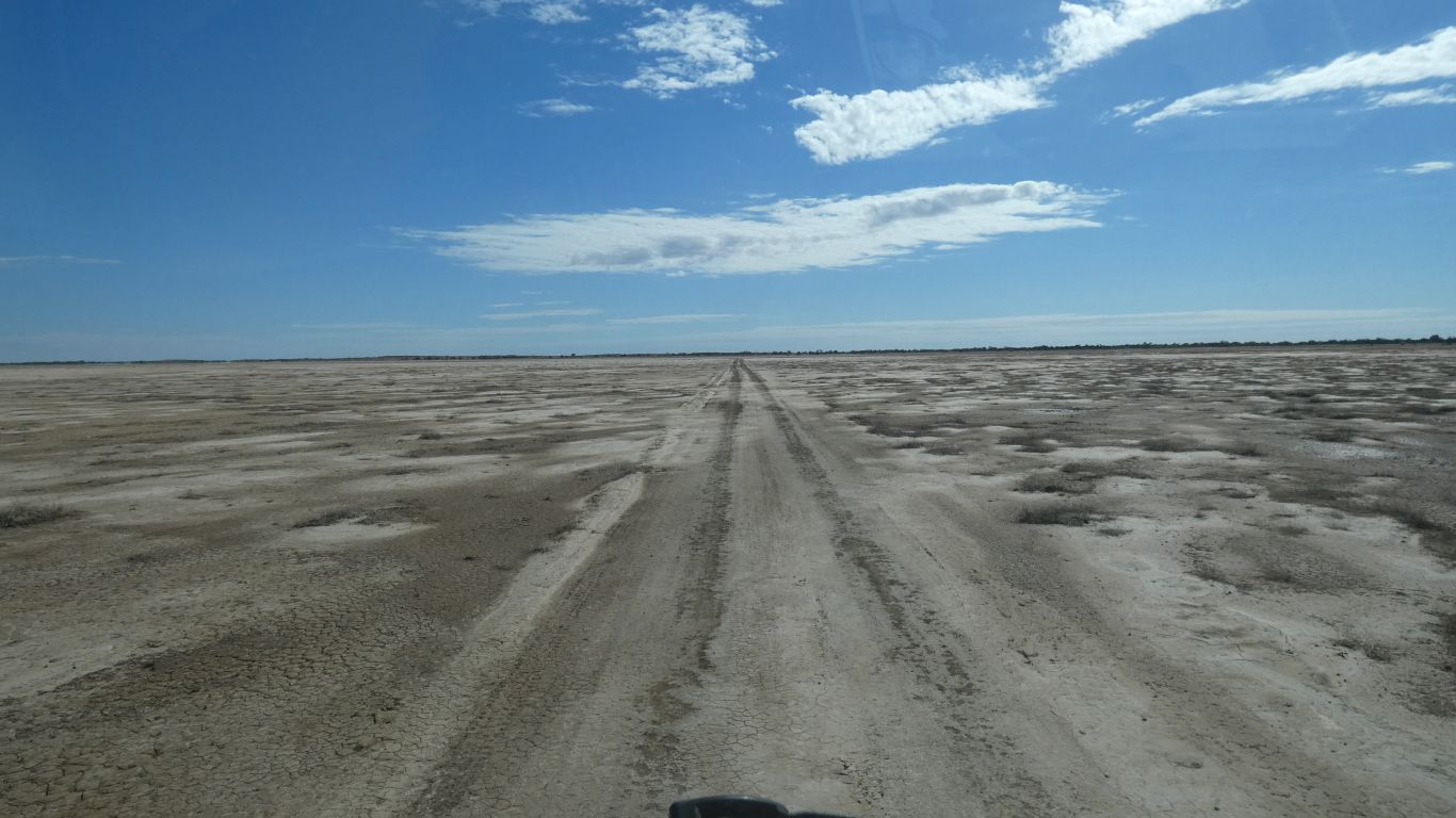
This is looking upstream. We are not far short of the end, downstream, where the creek divides into channels, as if forming a delta, and disappears within a few km into the sand.
Its not flowing now. The delta is dry.
But this lagoon looks fairly permanent. Not ephemoral.
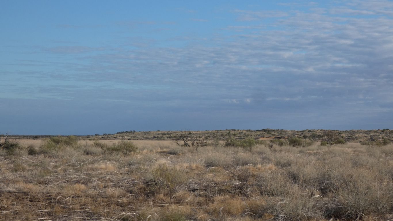
It seems to change in some way every few hundred meters.
Lighter colour than the north of the Simpson, darker than the south.
A bit of oxidation.
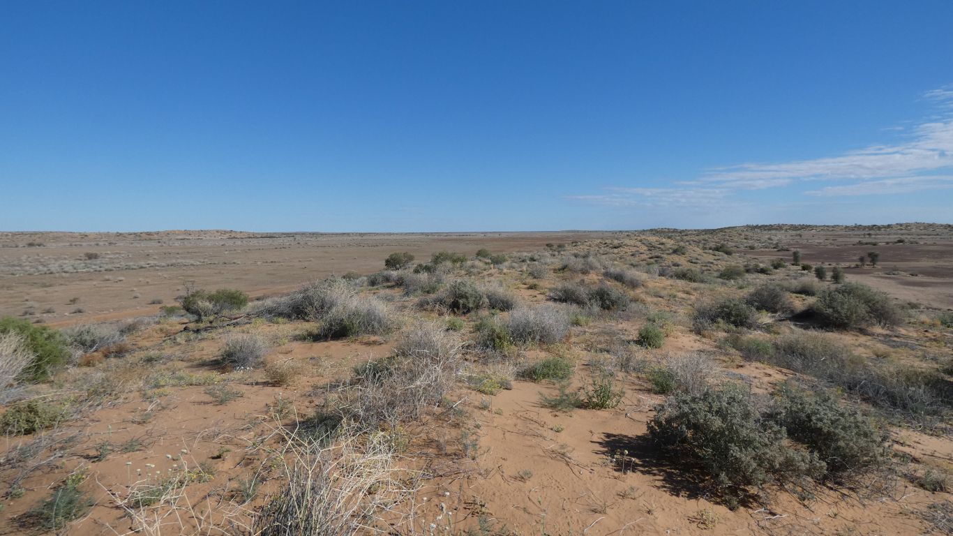
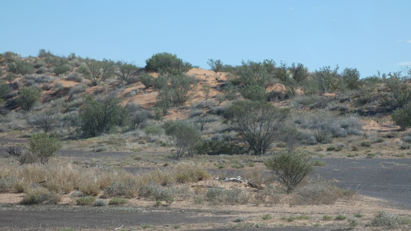
And just like the Simpson the vegetation on the dunes is different to that in the swales.
But no spinifex, and little cane grass.
Either we should buy lotto tickets to continue our good luck. Or there are a lot of worked stone chips in this landscape. A bit of both?
But we really don't know. Quite alien to us.
Not at all like its namesake (I think) in northern Italy.
About 3km long.
Despite it looking a bit shallower than other recent waterholes there is little water bird life.
Perhaps the land isn't yet dry enough to concentrate the birds, or perhaps the muddy water is uninviting.
The post in the middle allows individual beasts to be separated, secured, and branded, or whatever else is required.
Looks like its been a bit waterlogged for a while
Is it my imagination or is the vegetation a little more dense, or taller.
There are also a few more trees in the swale.
Not far to the main road.
The Diamantina flows through the gorge. Its width reduced from 5-10km wide with many channels either side of the gorge to less than 1km with a few channels in the gorge.
I imagine it would be quite spectacular when in flood.
Our campsite overlooks a lagoon in the gorge.