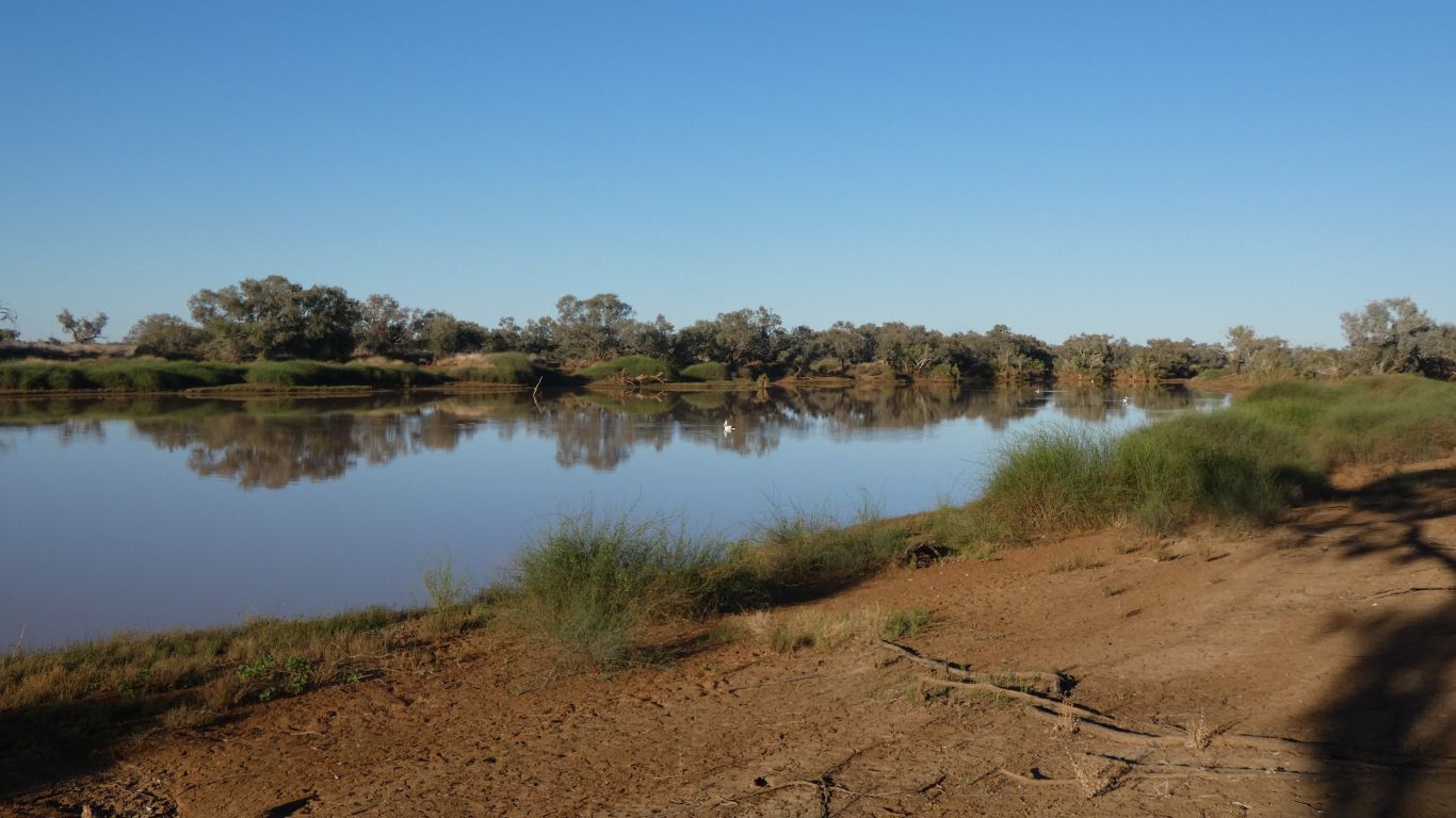
Its a bit chilly as we start walking into the gorge.
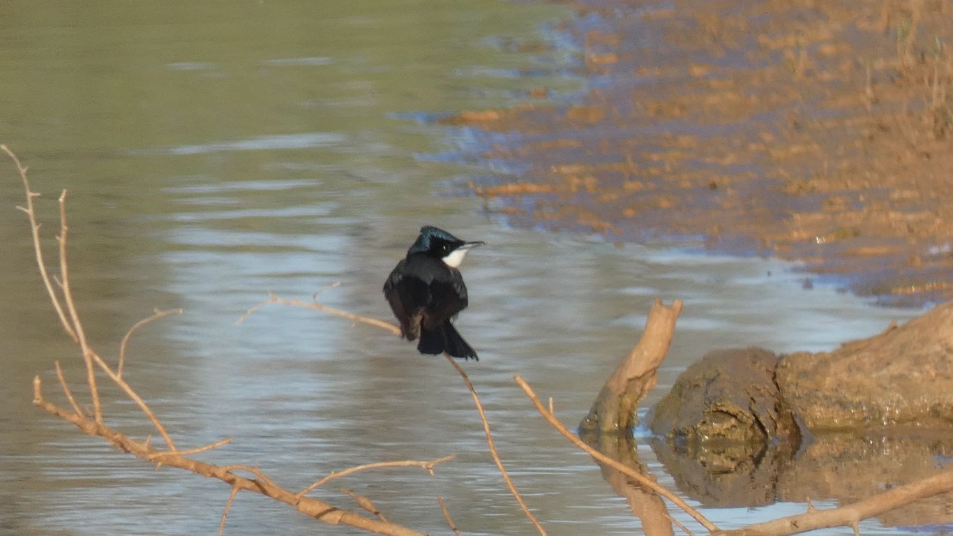
But I can find a fly catcher. I've seen a crown and lighter blue patch previously. Wondering if it was a trick of the light.
This specimen is very camera shy.
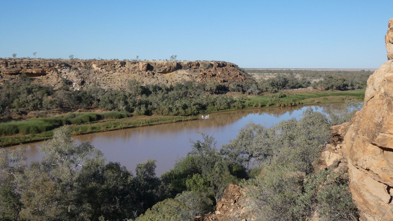
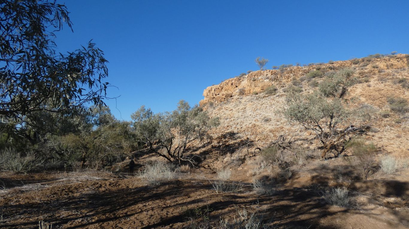
Constrained by the Hamilton Range.
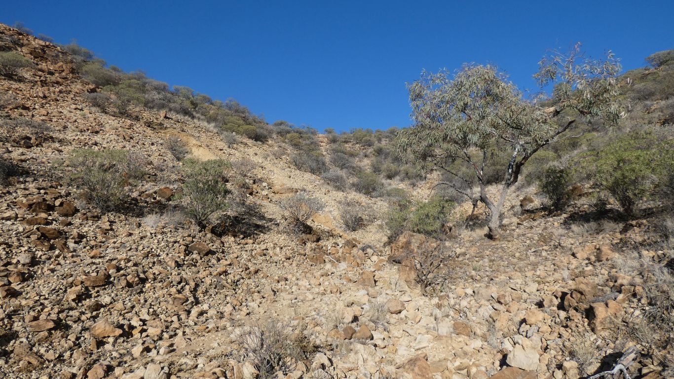
We scramble up this creek bed.
Easier than it looks. About 50m vertically.
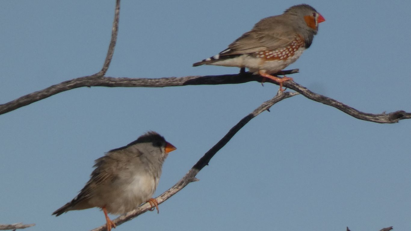
I almost didn't have to look at the pic to identify. To my eye they are too small, and too far away, to distinguish. But behaviour and location have become big clues added to my arsenal.
Really. What else would one expect in such a hostile looking environment.
The escarpment acts as one arm of a giant funnel.
The edge of the Goyder Range.
On the map I could draw a line through the Goyder and Hamilton Ranges.
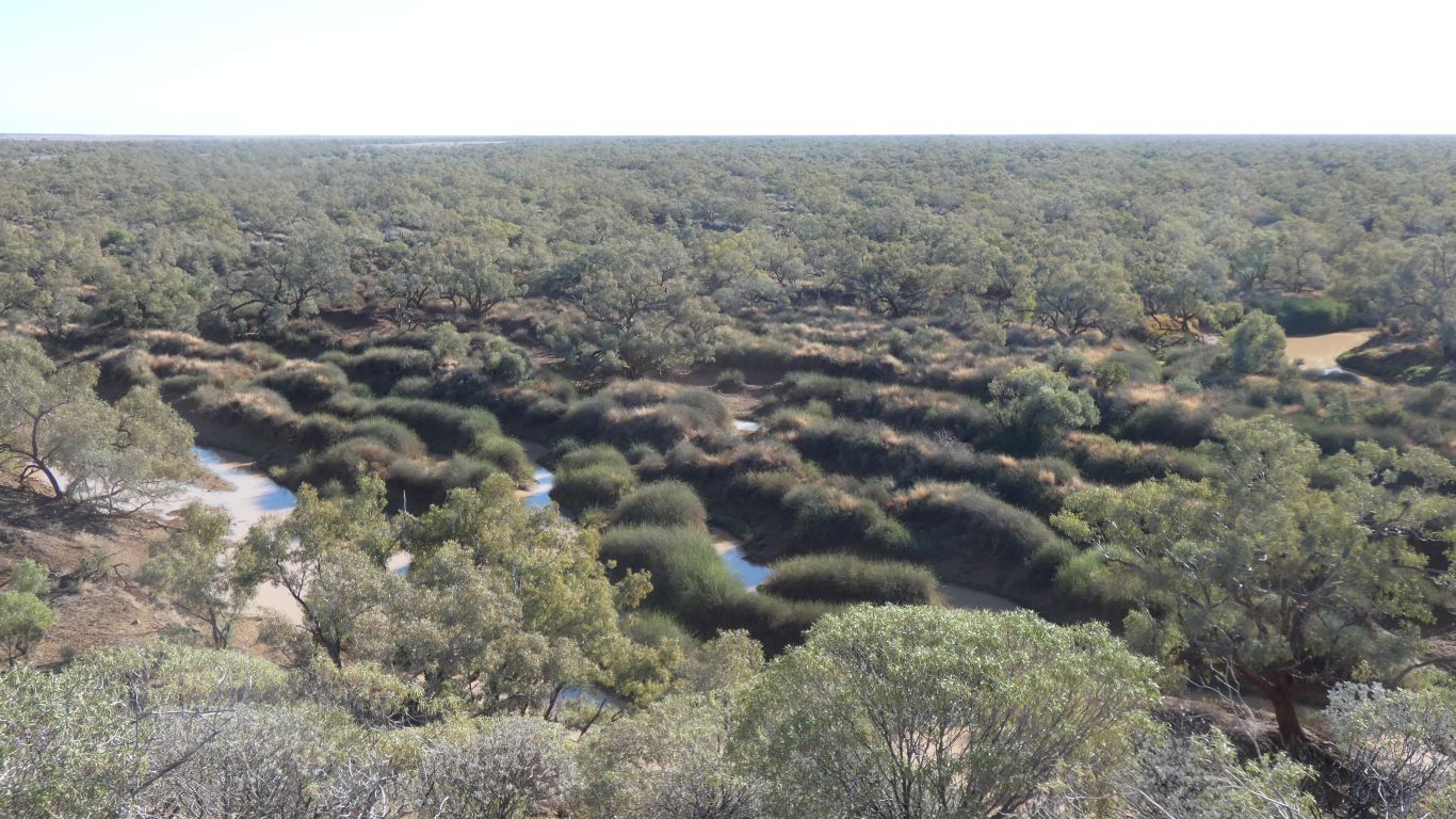
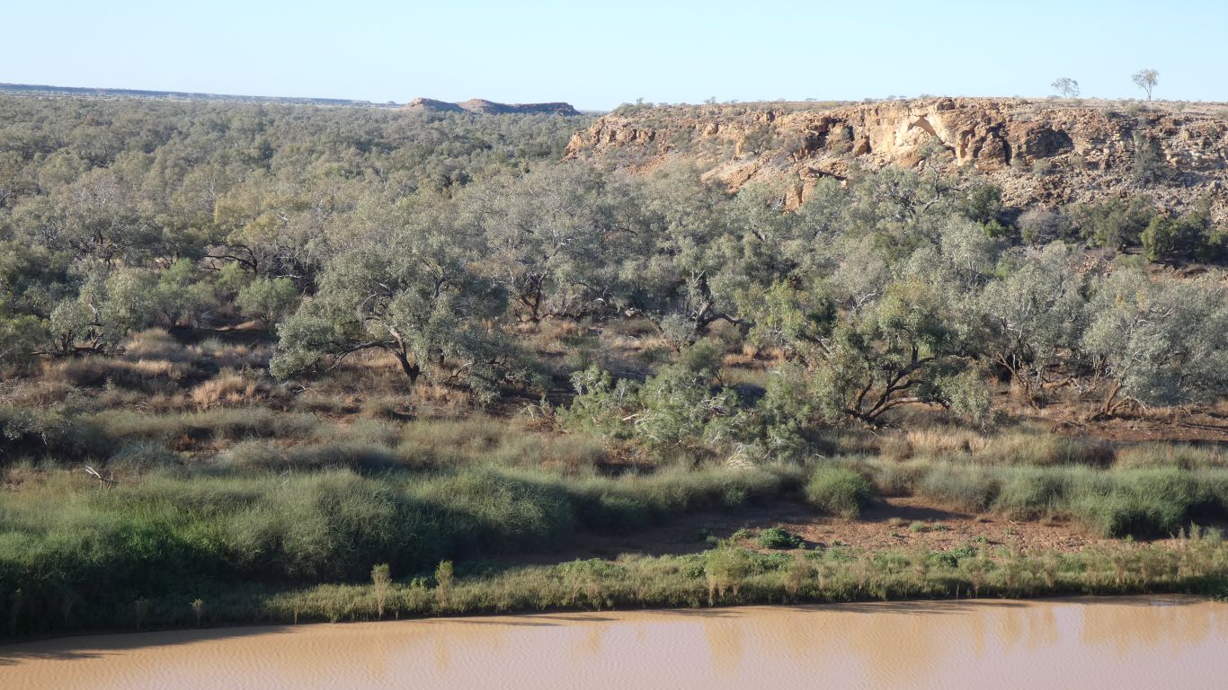
I guess vegetation first as I've seen lots of small growths of what I think may be, possibly, lignum. The only lignum I've seen previously was in Eyre Creek, and there it was dried and brown with no leaves. I haven't seen sand ridges.
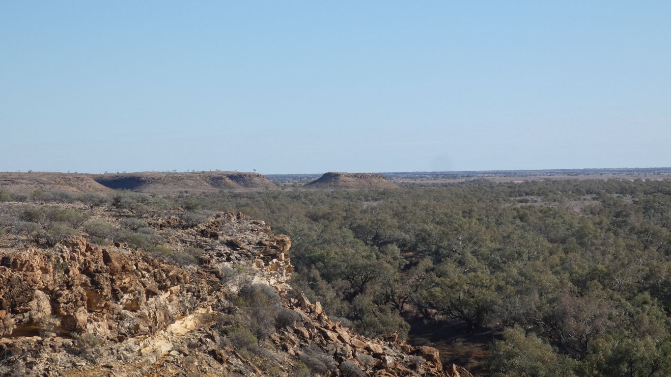
Either way, we can begin to see why Channel Country is to our south.
The parallel sand ridges prompt me to wonder if they are the water equivalent of parallel sand dunes.
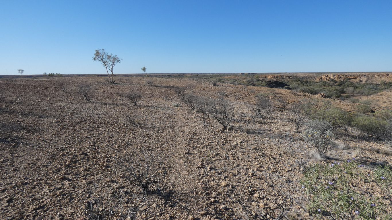
Sharp stones.
There is an animal track, the ground is too hard for hoof or foot prints and any scat has long ago disintegrated and disappeared. Just visible in centre of pic. Really just some stones flicked aside and a slight indentation.
It fades and reappears many times as we follow the edge round several ridges.
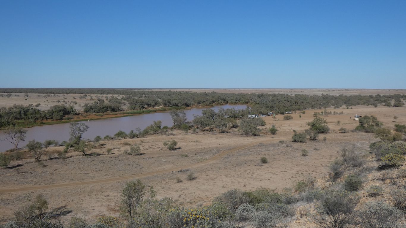
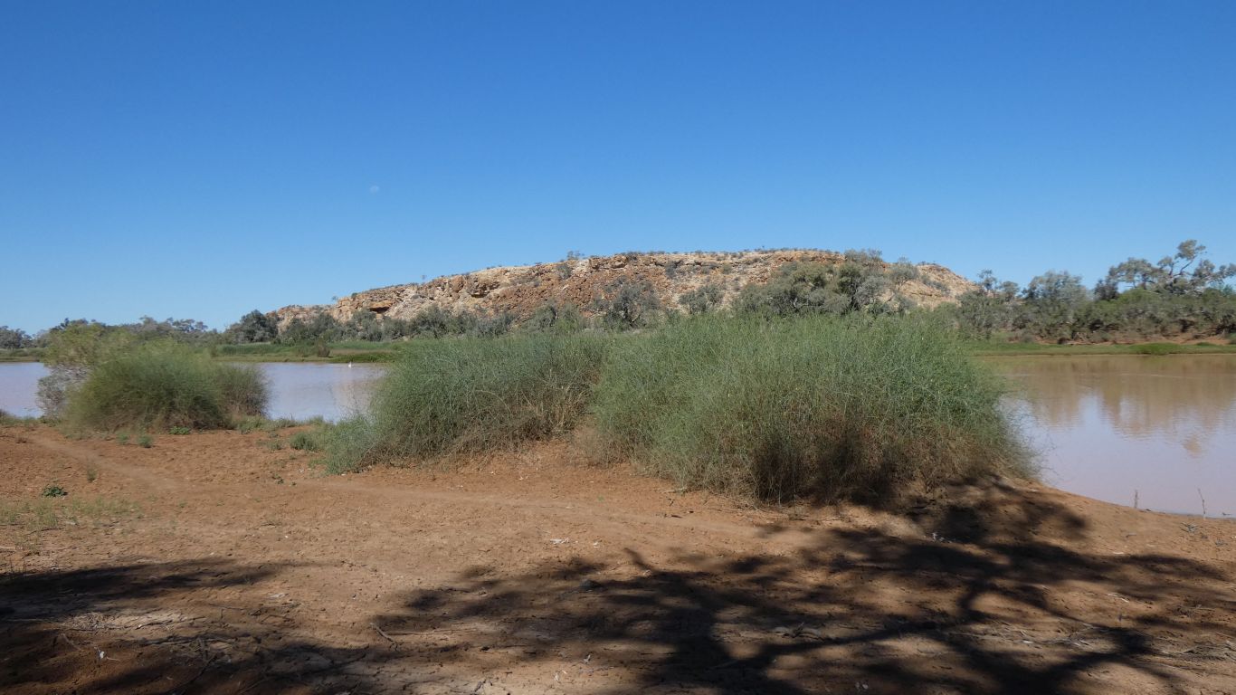
Truck is the leftomost, hidden in the trees at the corner where there's a small, very dry, creek entering from the right.
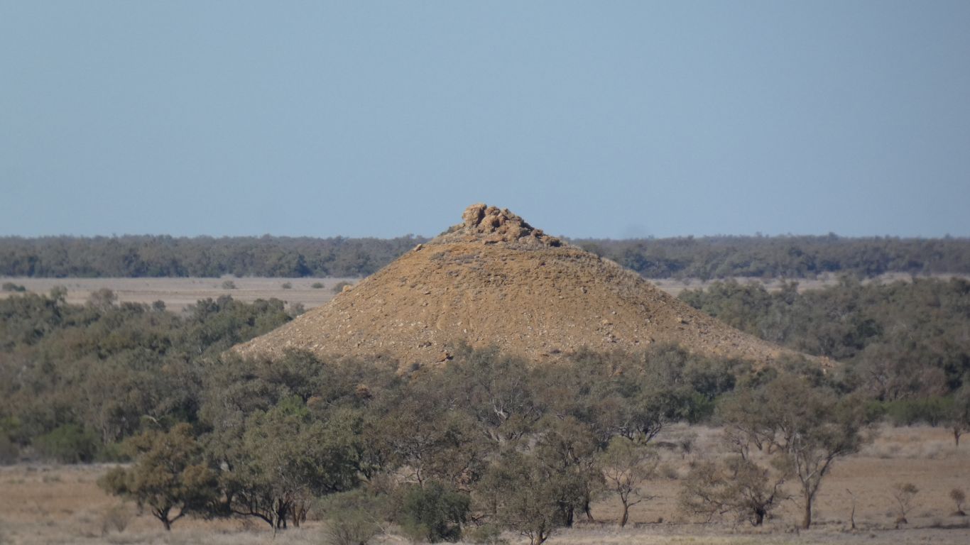
We are probably stood on a silcrete cap. Eroded at the edges so the soft rock underneath can be eroded.
Moses Cone is what happens when there's only a small area of cap remaining.
I wonder if it will erode from the top, or the sides be blown or washed away to leave a pillar.
Probably from the top, or perhaps we would see a different landscape around us.
Should I or shouldn't I add it to the Karst summary. The cap is created through water action, so in a broad definition I should add it. Perhaps so is the erosion of the soft rock. But where would it all end ...... ?
A taxonomists nightmare. Or dream. Classification of anything is inevitably ambiguous at the edges. So I won't exclude it. I'll just not include it ....... ! Its not the right shape!
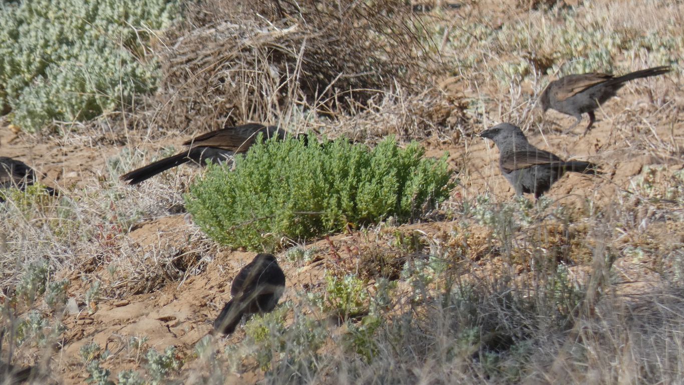
A flock of apostle birds to greet us.
Only two hours, and a 4km loop. We vegetate for most of the rest of the day. Pausing only to occasionally look, an exercise in futility, for the elusive wren family.
The strong wind, which had greeted us yesterday and died overnight, returned. A cold wind with a hot sun. We've become soft.
To say nothing of the flies ....
The sand is about 3/4 the height of the vegetation.
But still no pics of wrens......