| |
|
|
| Urewa and Wanagarren Nature Reserves, and Nambung NP |
 |
September 6 - 8 2024 |
| |
|
|
 |
|
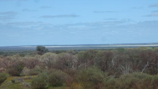
Urewa Nature Reserve is north of Mullewa. As we approach
we ponder whether the light patches in the distance are wild flowers or
canola.
The romantic side of our natures prefers the idea of wild flowers. The
realist suggests canola.
We may never know ..... |
| | | |
 |
|
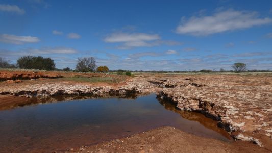
Wandina Station had two other wells on the De Grey Mullewa
Stock Route besides the Drovers Pool. This is Hughies Rocks, another
watering hole. South of the Greenhough River crossing. |
| | | |
 |
|
We didn't find the well site about 4.5km south of Hughies
Rocks. It is an example of a round well, lined with stone at the top. In
contrast to later wells, and those on the Canning, which are rectangular and
wood lined.
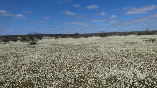
So we continued our love affair with flowers. |
| | | |
 |
|
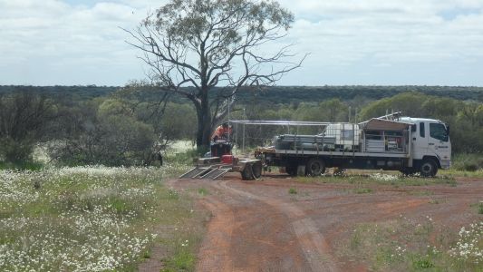
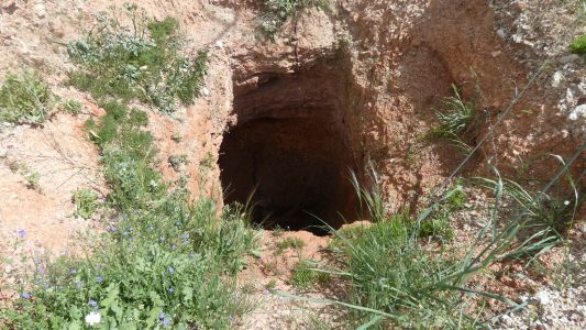
White Well is on the northern tourist loop road from
Mullewa. The very strong looking fence being erected will ensure that
no-one falls in. And probably that no-one can see. |
| | | |
 |
|
We snuck a look. A rectangular well. |
| | | |
 |
|
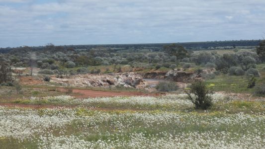
And so to the waterfalls, a few short km away. Another
watering hole on the stock route. |
| | | |
 |
|
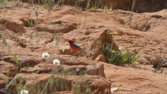
Camped, we were visited by a crimson chat. |
| | | |
 |
|
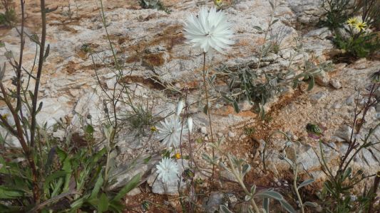
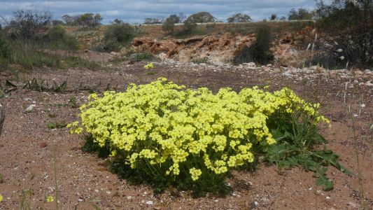
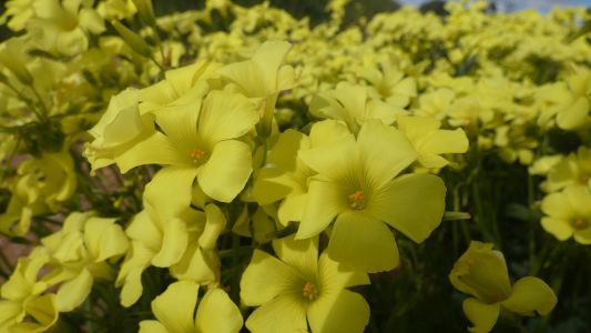
Of course we had a closer look at the flowers. Rather
than many flower heads on a single stem these have a plethora of petals. |
| | | |
 |
|
These are simply vivid yellow against a stark background.
I wonder how they survive on such thin soil. |
| | | |
 |
|
They look as pretty up close as they do far away. Drawing
in insects, which remain invisible to us.
I guess the large numbers ensure some sort of survival. Flower and insect
populations evolving at the same time. More flowers supporting more insects
which can pollinate more flowers. And so on in a virtuous cycle.
Until something comes along to change the cycle. But more about that
later .... |
| | | |
 |
|
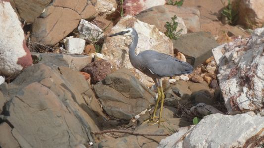
A surprise heron. There must be something to eat in the
water. |
| | | |
 |
|
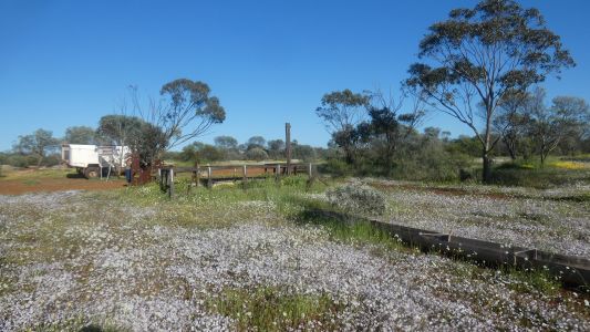
On the move again after a night's rest. Perkins Well,
nearer to Mullewa. Another rectangular well on the route. |
| | | |
 |
|
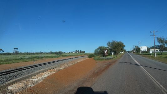
Mullewa has a rail line. |
| | | |
 |
|
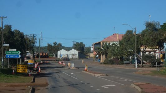
We learned of Mullewa from an article about their roadworks.
About how difficult it was to repair a short section of road in the middle
of town. Businesses commenting on the effect it was having on passing
traffic, less traffic stopping. And so it was. Even knowing about it we
found it a bit bouncy.
We missed the sign to tourist information which we had hoped would have
lots of flower info. |
| | | |
 |
|
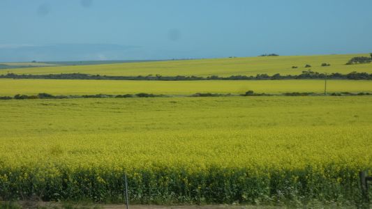
Flowers replaced by canola. |
| | | |
 |
|
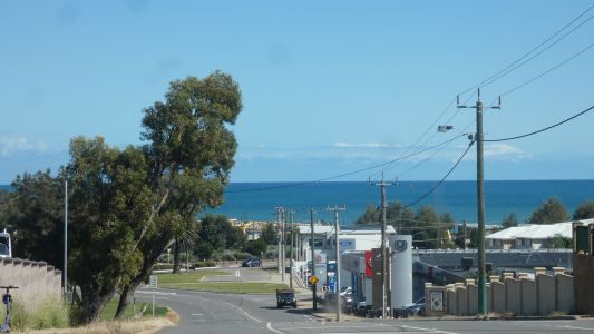
We make a detour into Geraldton. Usual food, fuel and
water. Alas, Saturday some places were closed. And I forgot why I needed a
hardware store. |
| | | |
 |
|
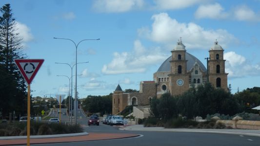
We didn't stop to ponder the design of the church. Or is it
a basilica? No, its St Francis Xavier Cathedral. |
| | | |
 |
|
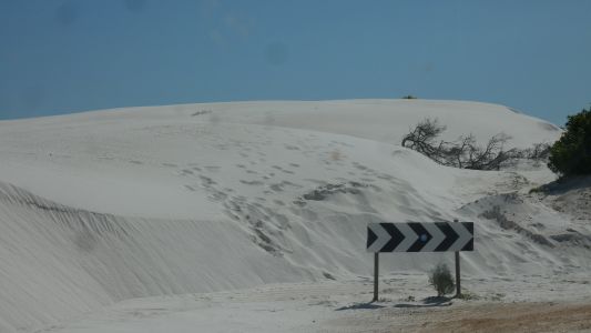
Heading to Cervantes we begin to tire. A brief detour to
Milligans Island campsite. Fortunately as it turned out full. But we did
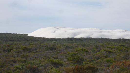
pass this "whitest dune we've ever seen" dune. |
| | | |
 |
|
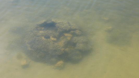
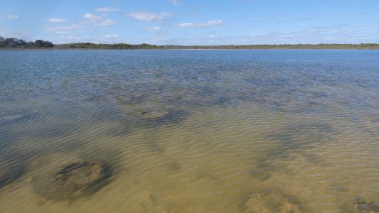
We stop at Lake Thetis. Just outside Cervantes. A very
salty lake with stromatolites. Examples nearest the boardwalk partly
damaged. |
| | | |
 |
|
But definitely stromatolites ....... living stromatolites. |
| | | |
 |
|
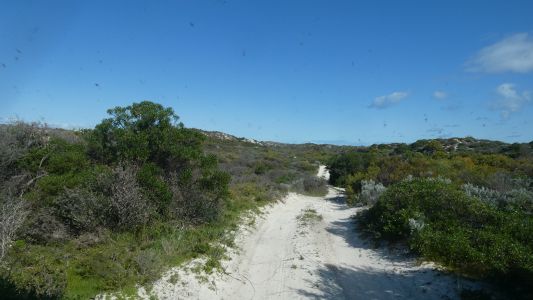
So to Wanagarren Nature Reserve. We'd booked campsite 8.
About 9km from the entrance on a sandy twisty track. |
| | | |
 |
|
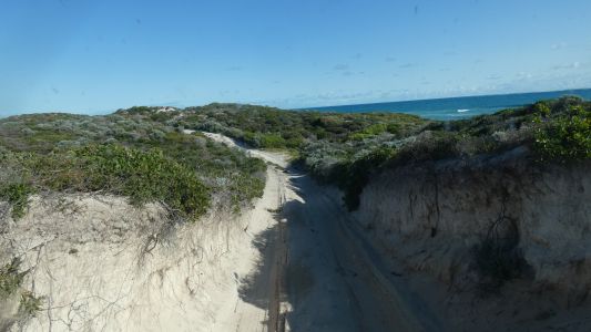
Deep erosion through the dunes after many years of
vehicles. |
| | | |
 |
|
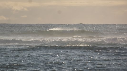
About an hour to reach the camp. For wind and waves. |
| | | |
 |
|
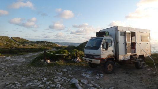
But very civilised. A couple of days rest.
A visit from rangers. Interested in our cassette loo (which they refer to
as chemical toilet). A condition of reserve entry. |
| | | |
 |
|
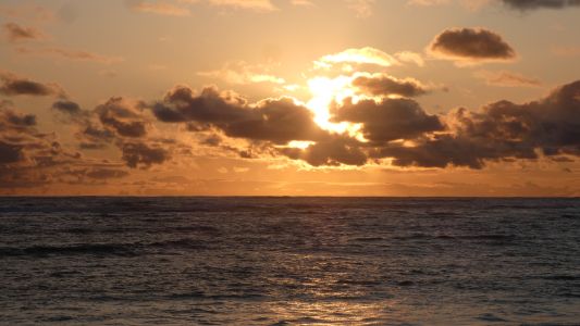
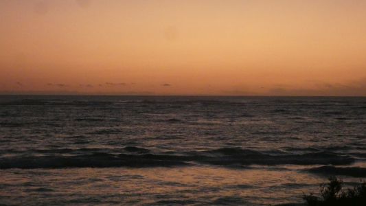
We watch another sunset. We will never tire of watching.
Different every time, and never as predicted. |
| | | |
 |
|
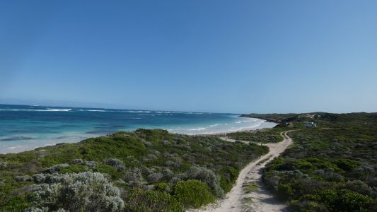
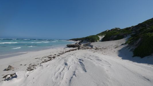
A walk further south along the track, and a look back at
our camp. The beach initially impassable around rocks. |
| | | |
 |
|
But later a way down, and back up. |
| | | |
 |
|
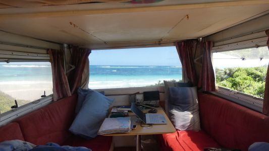
The view from our strategically placed rear window. |
| | | |
 |
|
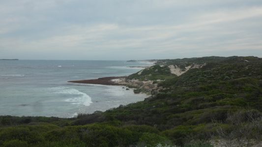
For another sunset. Cloud free. |
| | | |
 |
|
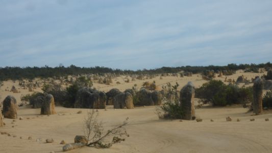
Looking south on the way out. |
| | | |
 |
|
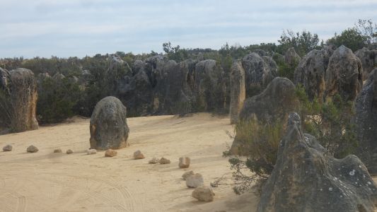
We make a detour to The Pinnacles in Nambung National Park
We hoped for early morning sun. |
| | | |
 |
|
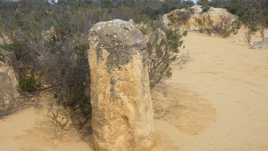
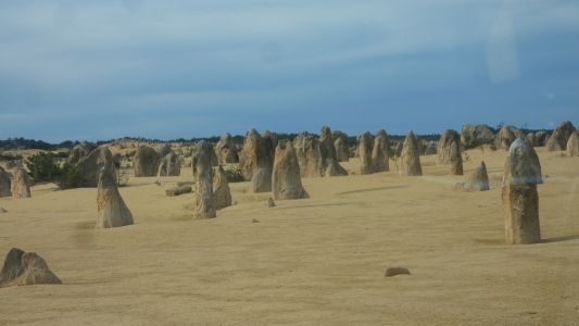
When visiting in 1978 we couldn't decide if they were
fossilised tree trunks or eroded limestone. This time, after all our
travels and sights, it is obviously eroded limesone.
A karst landscape.
Another variation of Chinese Stone Forest, Purnululu (Bungle Bungles),
Malham Cove, and a myriad other karst sites. |
| | | |
 |
|
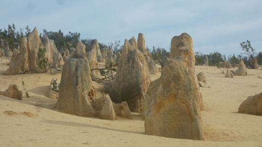
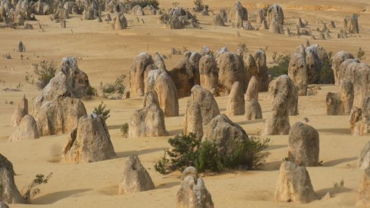
And equally fascinating. The bedding planes here
horizontal. The erosion vertical. |
| | | |
 |
|
Thus we ponder if erosion occurred then sand coverd it, or
whether sand retreated and erosion occurred. |
| | | |
 |
|
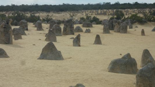
The discovery centre was still closed at this early hour. |
| | | |
 |
|
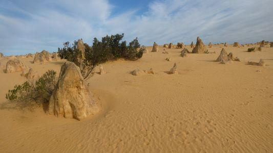
At least there is little traffic. |
| | | |
 |
|
We wonder if there is a harder rock cap limiting some
erosion. |
| | | |
 |
|
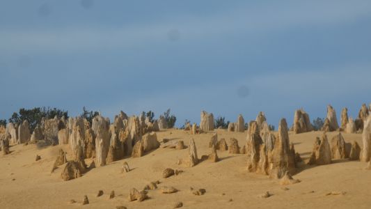
While enjoying the subdued early morning light. |
| | | |
 |
|
At last. The last pic. Interesting revisiting after 45
years. |
| | | |
 |
|
The southern end of Wanagarren Nature Reserve is Wedge
Island. Squatters paradise.
Also dunes which push the reserve track close to and on the beach. Apart
from wanting to backtrack to the Pinnacles the rangers suggested the track
to Wedge Island was probably not worth the effort for us. A good call, we
have a long way to drive today to cross Perth. |
| | | |
 |
|
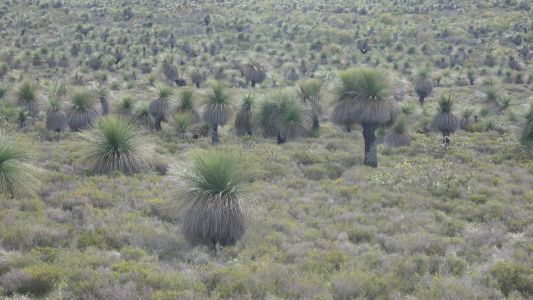
We remember to stop for a pic of the grass trees. The
same but different to east coast grass trees. |
| | | |
| Warren National Park |
 |
September 9 - 10 2024 |
| | | |