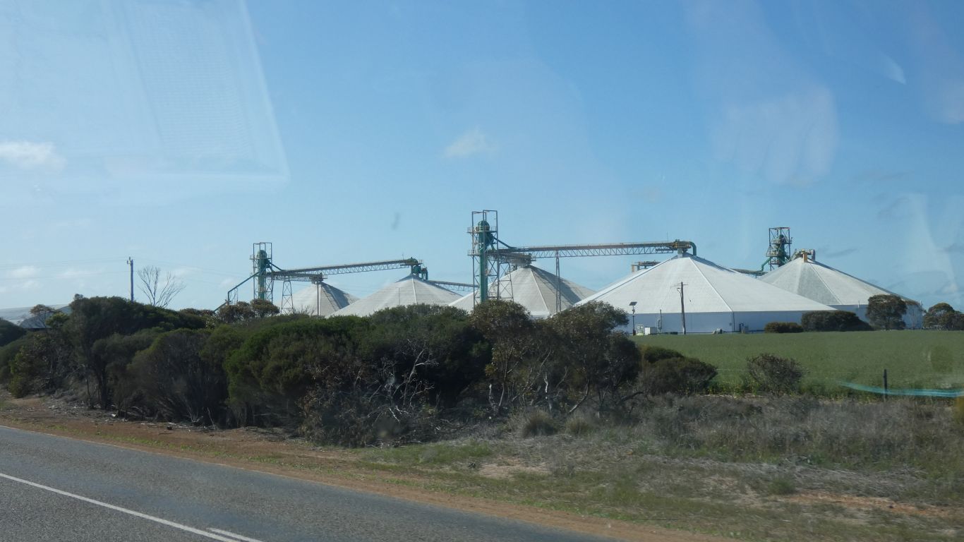
Another variation on grain storage.
Fortunately.
But we can admire those who do.
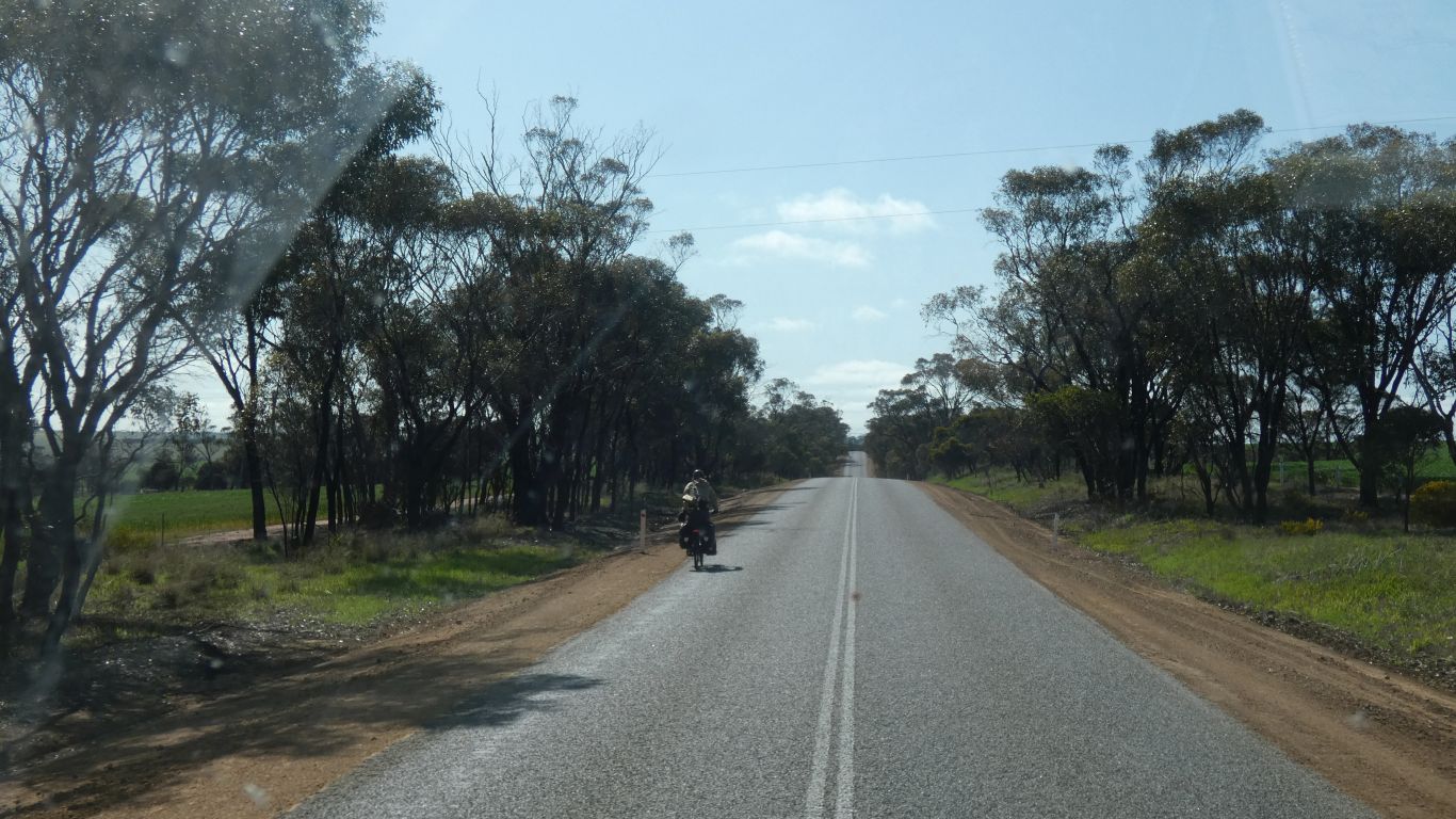
We are reminded of a Swiss and French couple we met in Thailand, early in our travels. We thought it would be nice to travel more slowly. They thought it would be better walking.
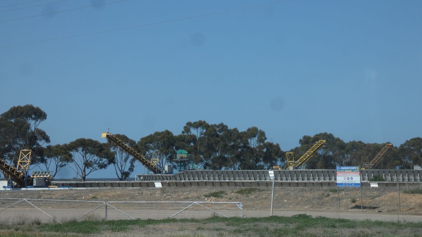
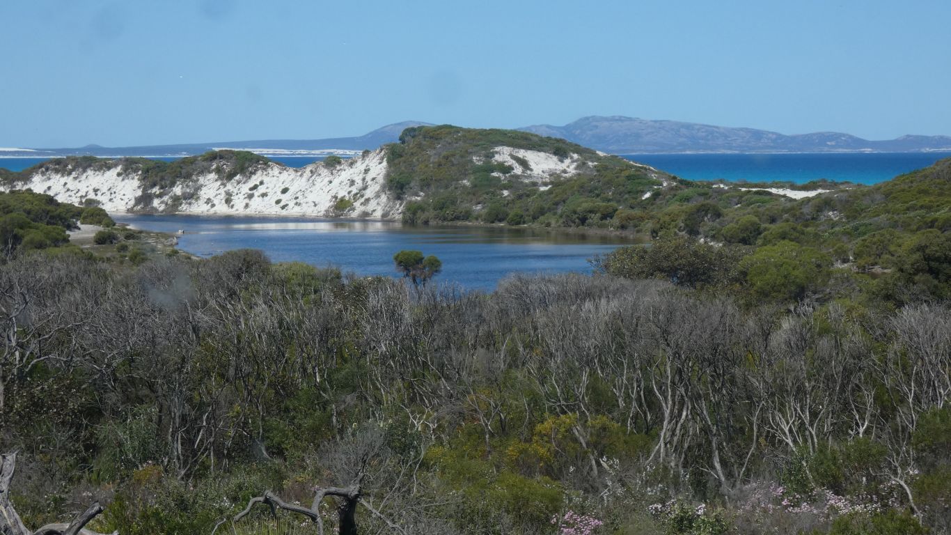
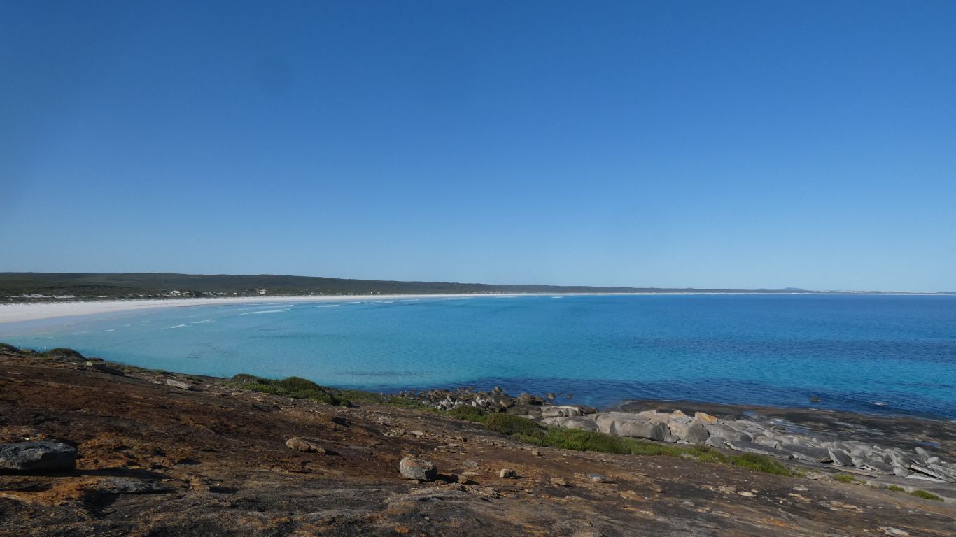
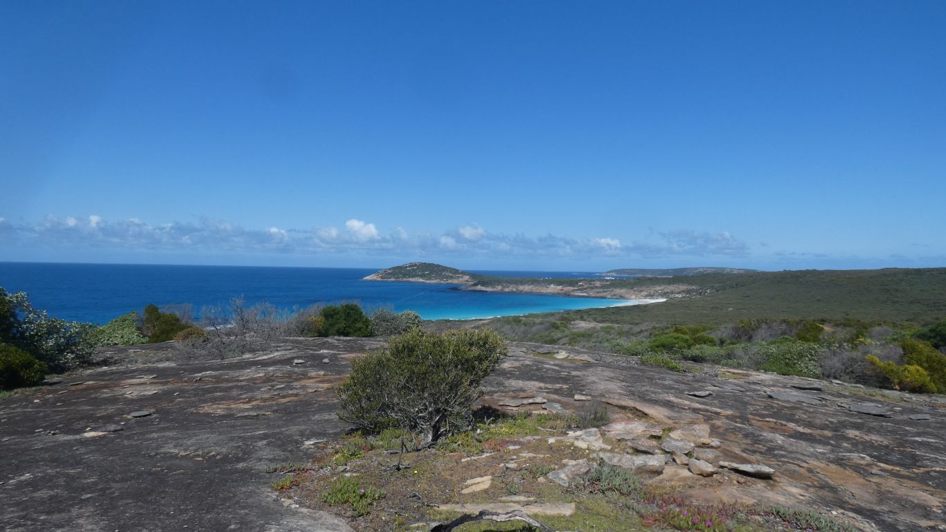
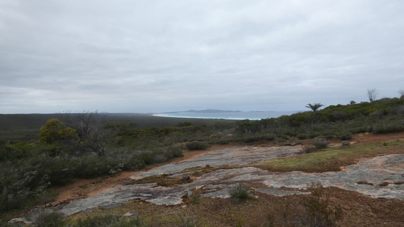
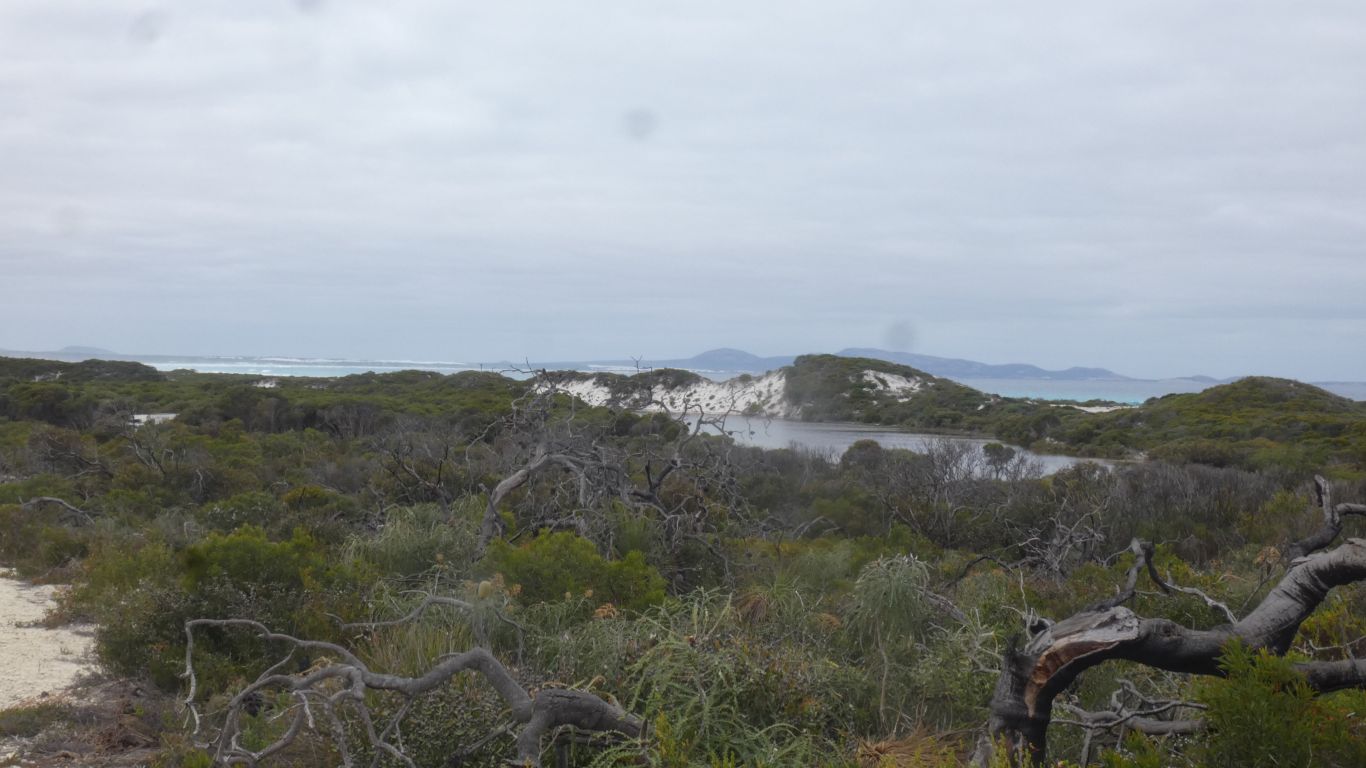
About 40km east of Hopetoun.
Not the Masons Bay on the west coast of New Zealand's Stewart Island.
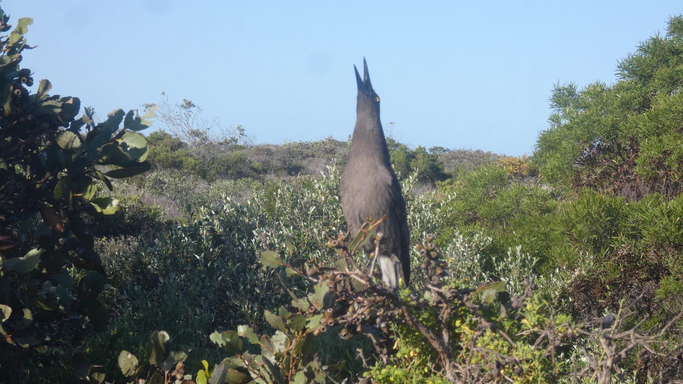
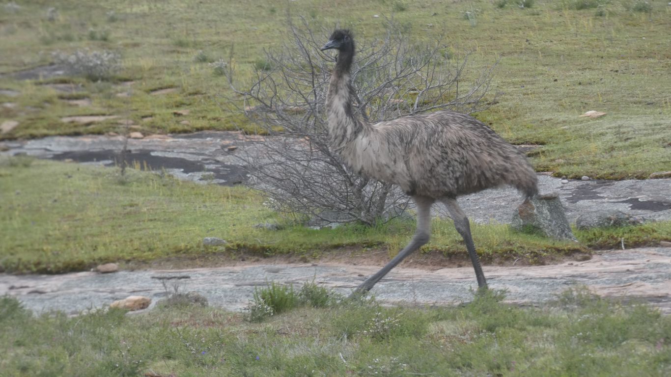
A young bird, perhaps a Grey Currawong, probably hungry, about 2m from our back window.
When I went outside, carefully, with the camera, it flew off.
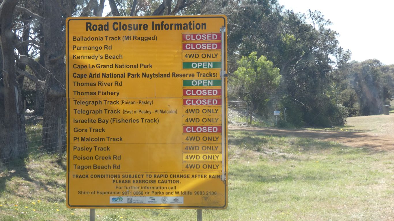
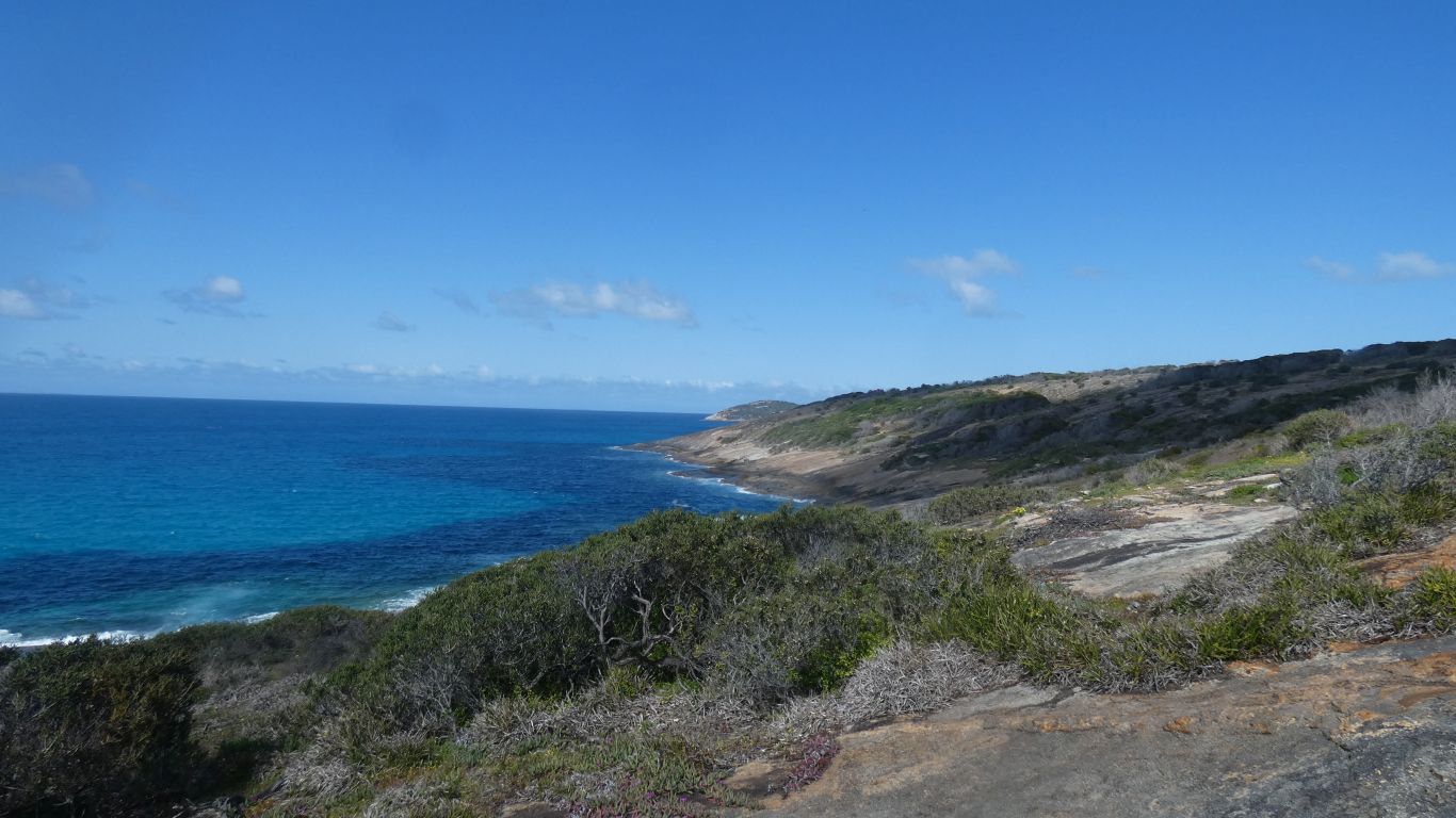
We are headed towards Fisheries Road which becomes Fisheries Track. Which leads to Israelite Bay. The road is open.
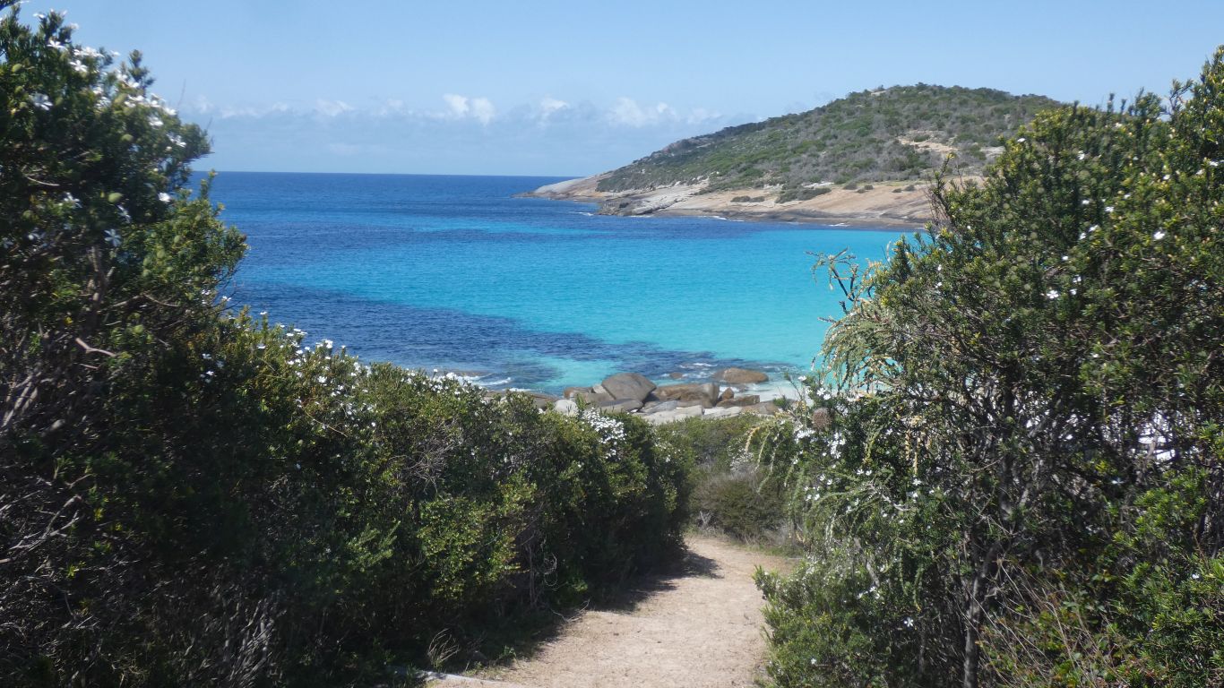
We'll stop first in Cape Arid National Park.
Some of the road names are marked on our map, others not.
It seems more information is required to interpret the sign.
But its better than the Parks alert map which talks of burning off in the park.

And put together with the big yellow sign we can probably reach Thomas River, and Belinup Campsite.
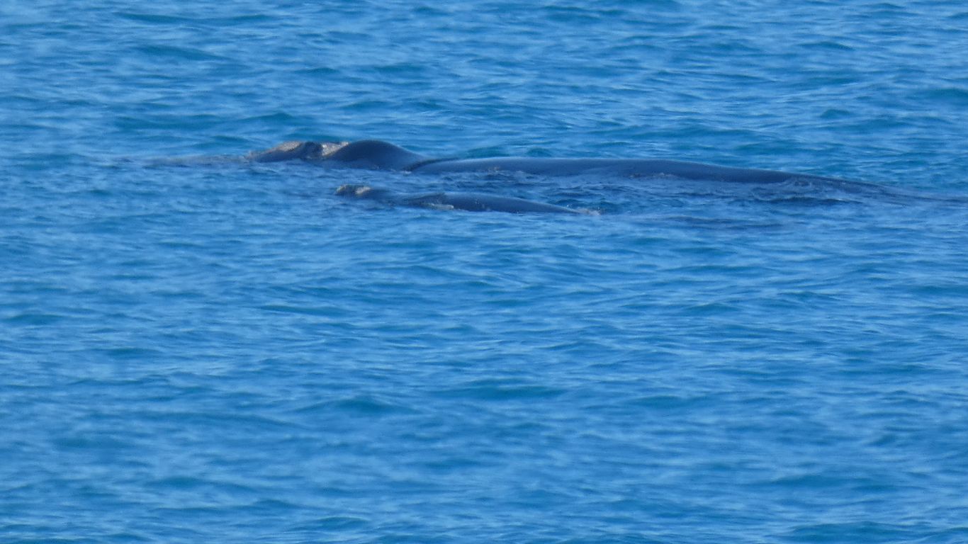
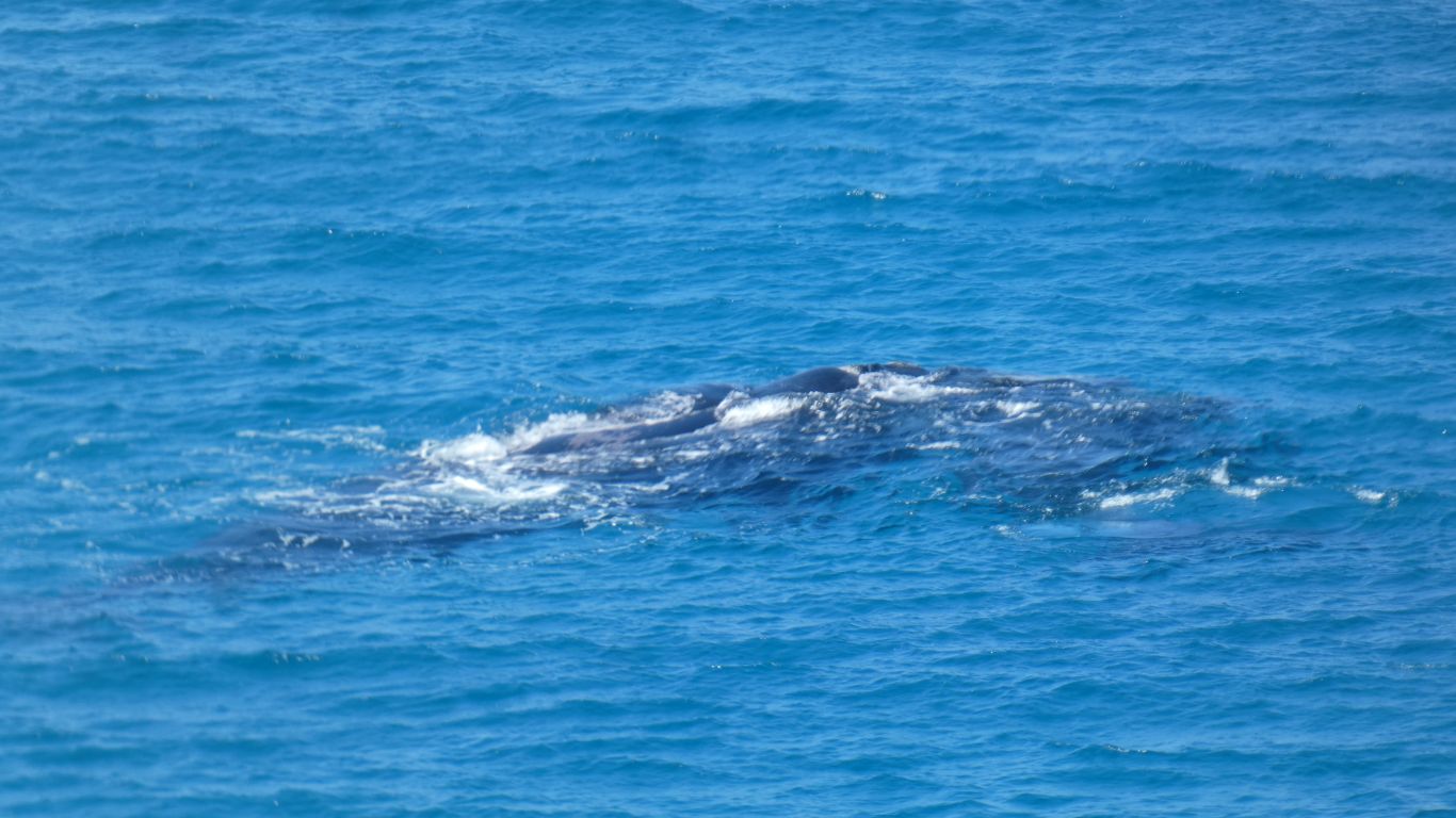
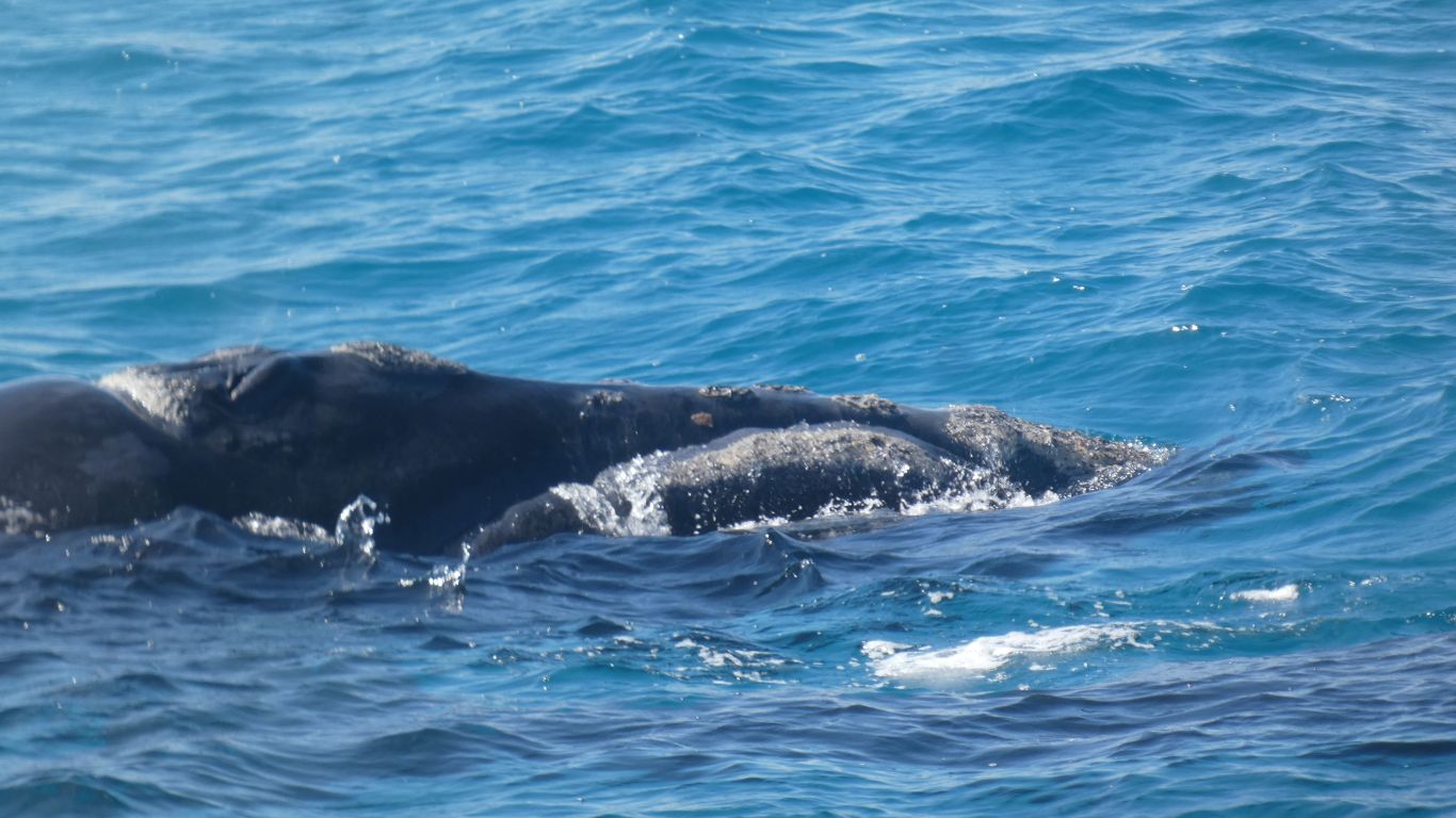
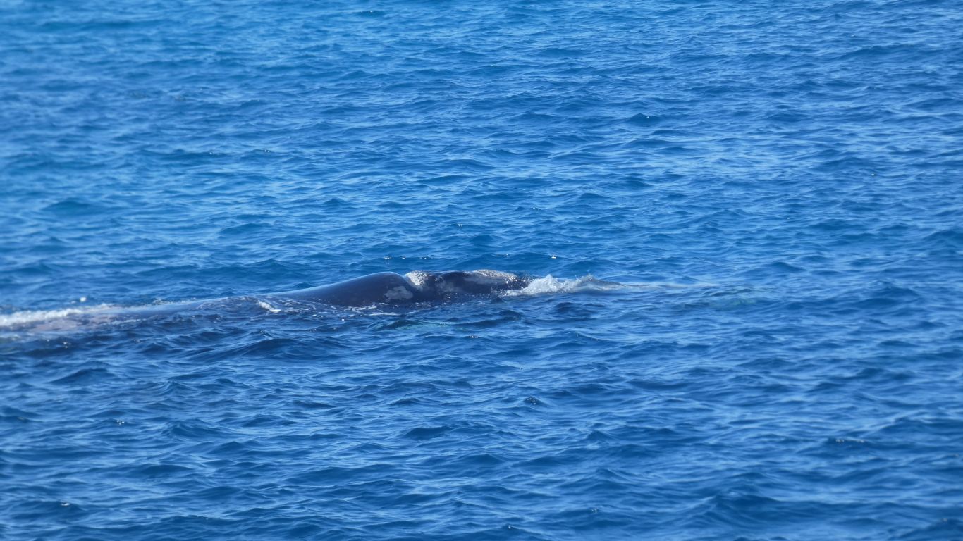
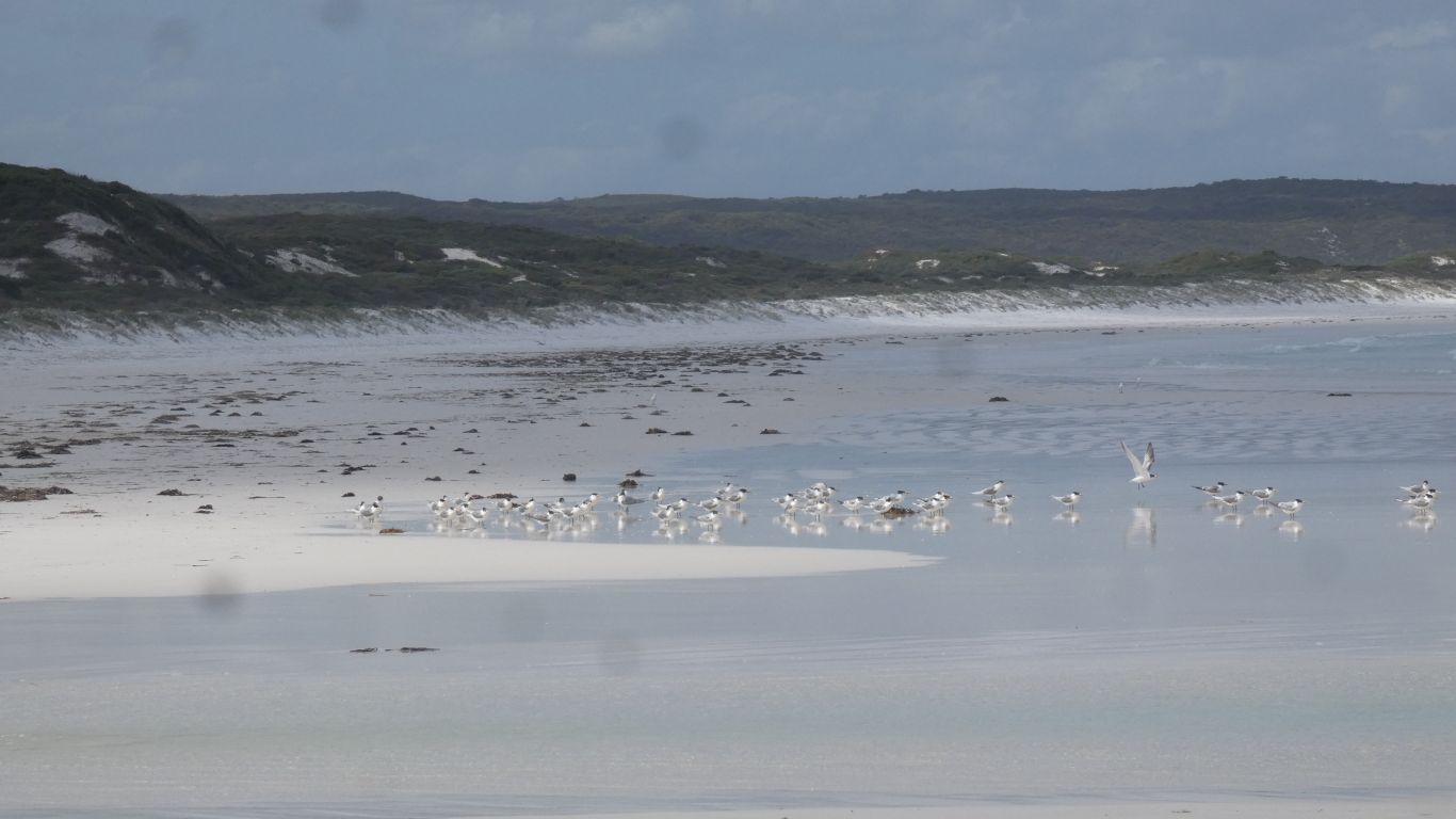
There are whales off the beach, and in the next bay along.
So we lock up and race (more like hobble) to the beach. Onto the rocks at the western end.
An adult and calf - Southern Right Whales.
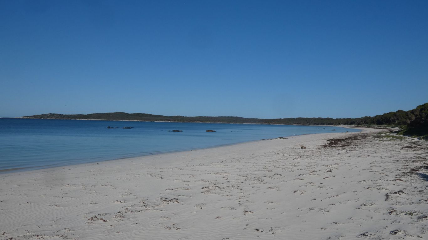
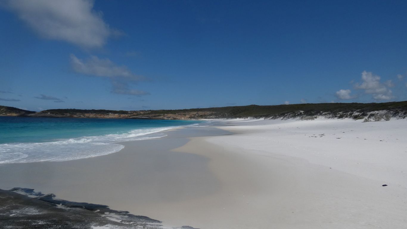
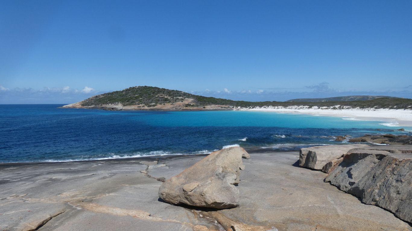
If we drove about 5km along the beach we could camp anywhere in the next 20km or so.
Has to be at low tide ...
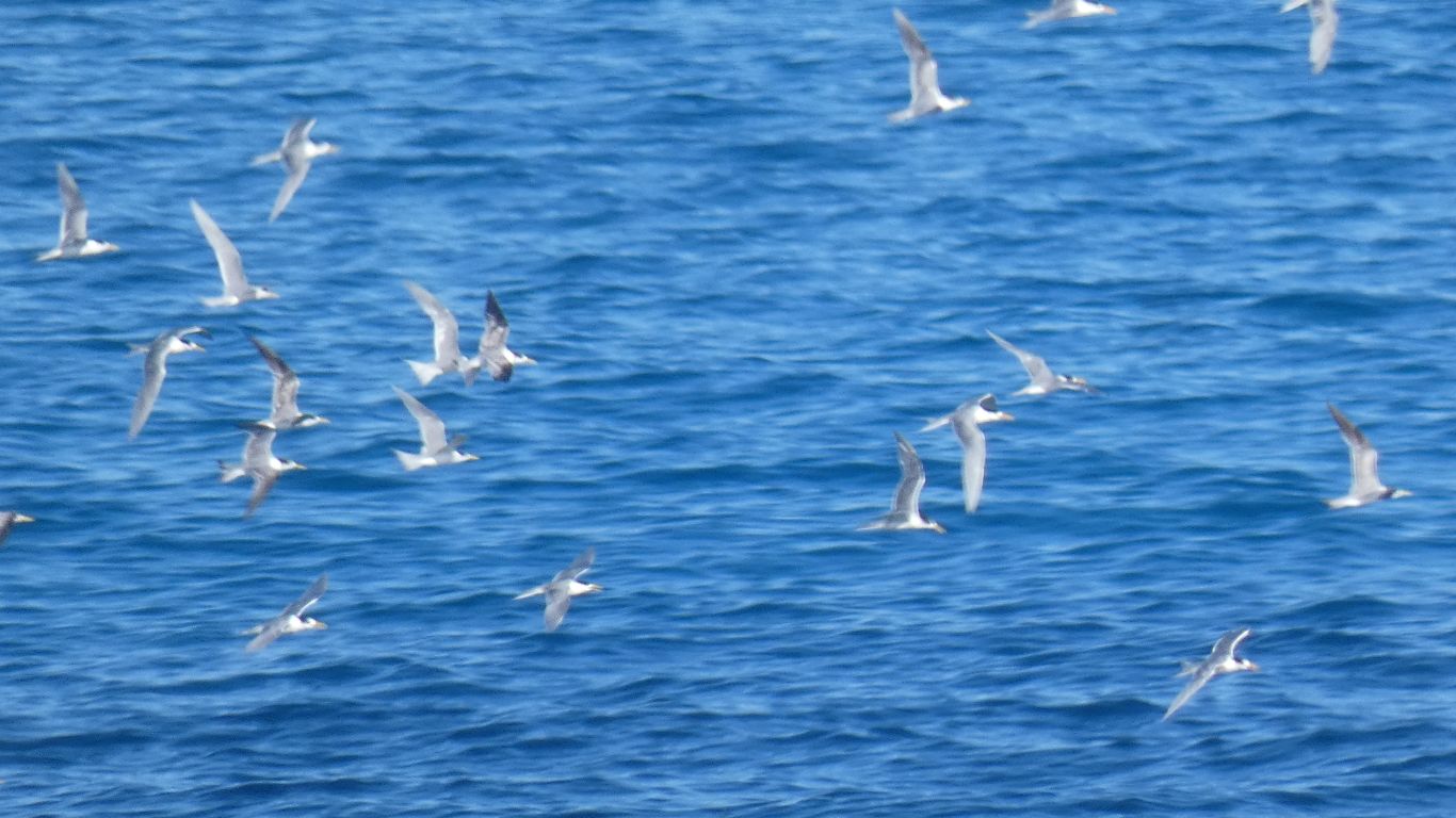
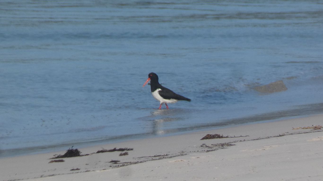
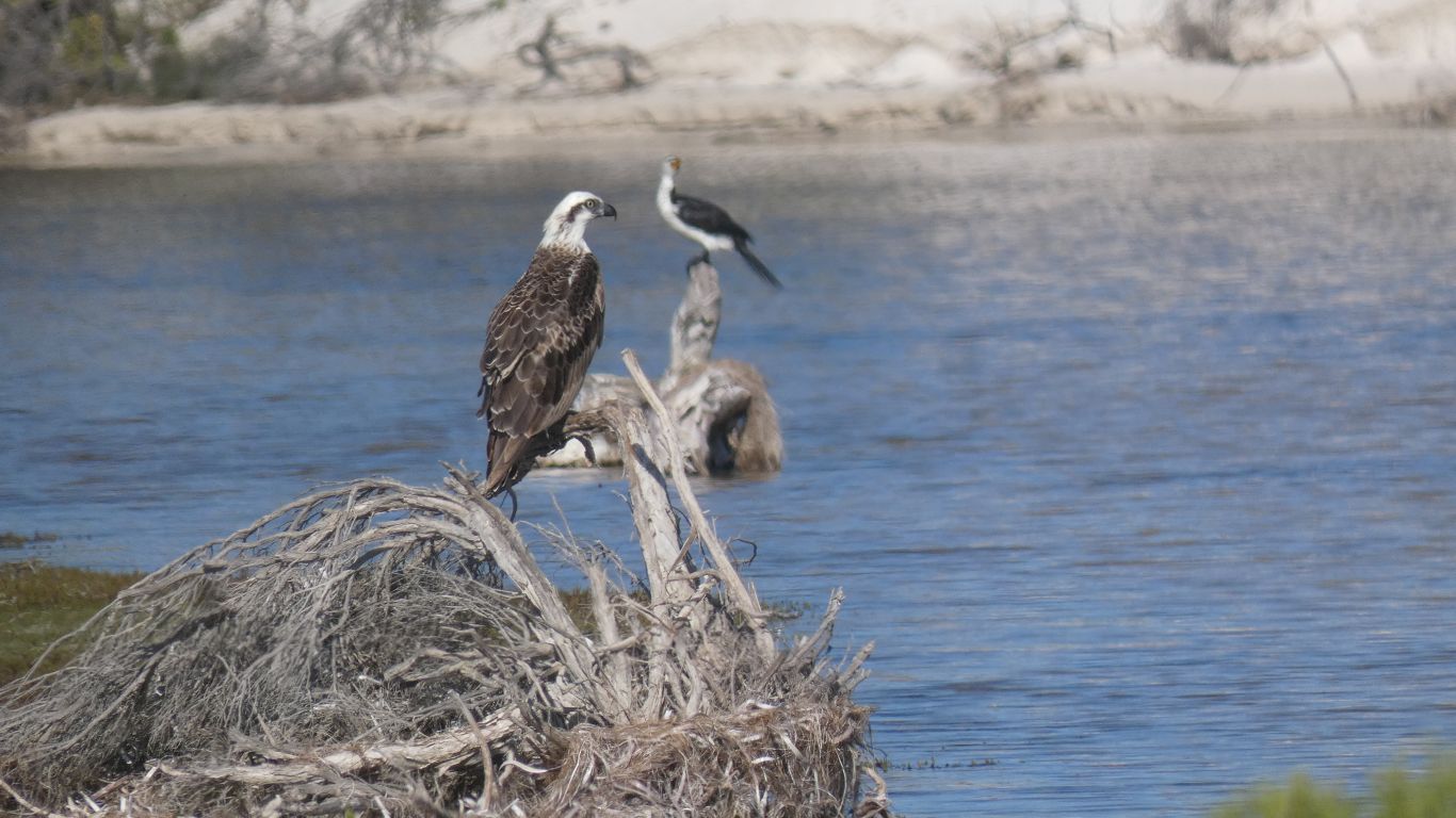
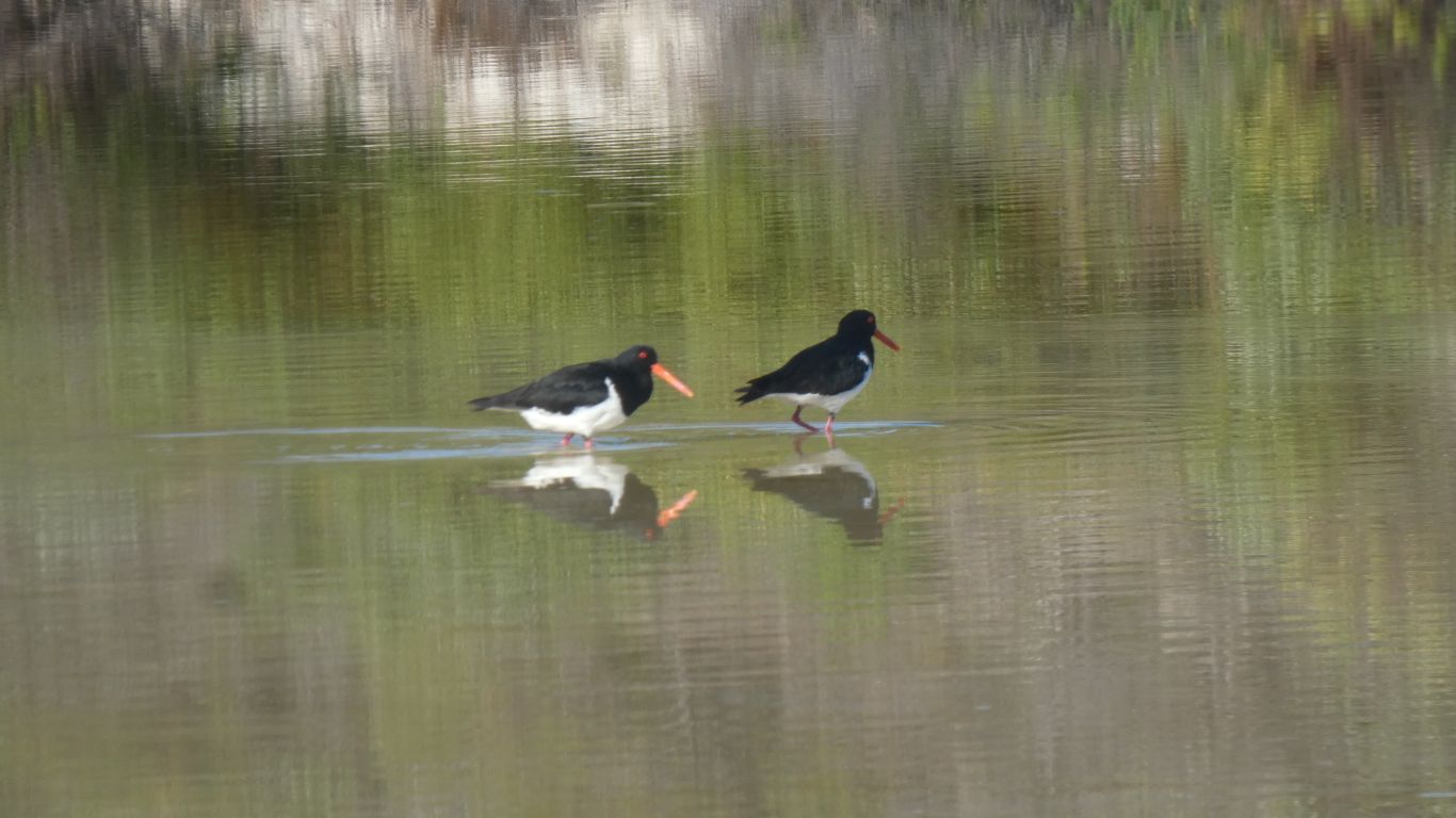
Terns and seagulls.
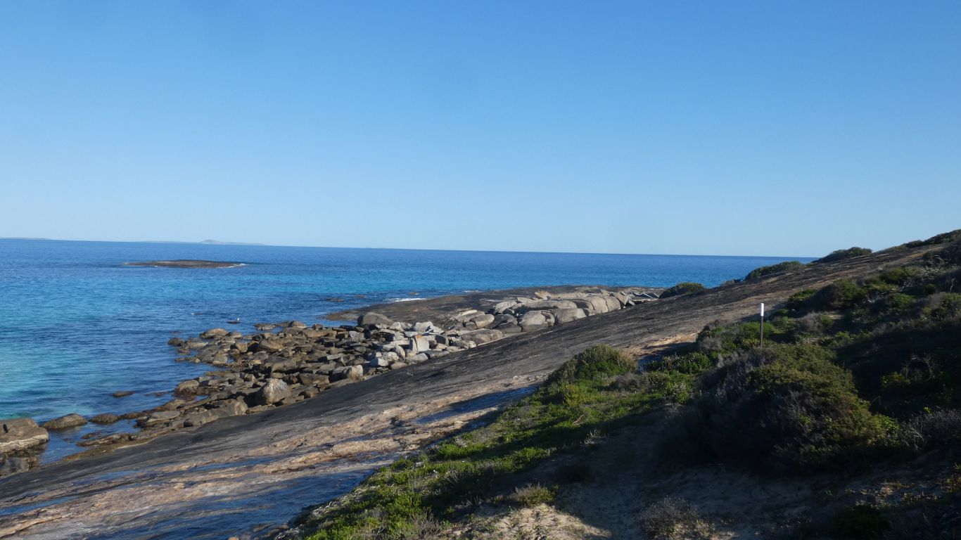
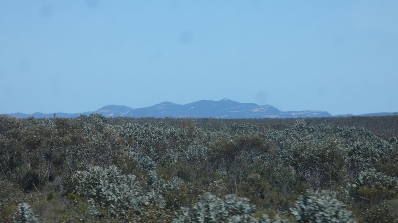
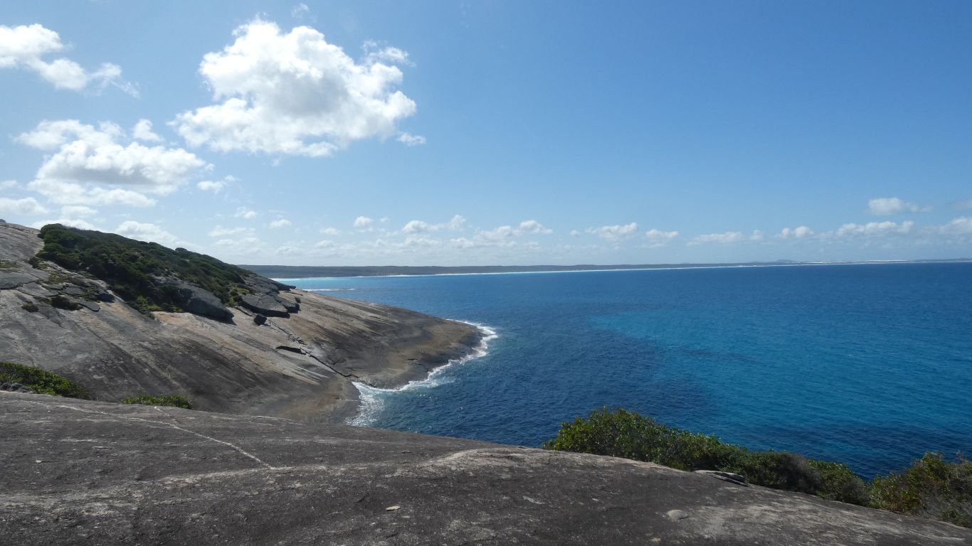
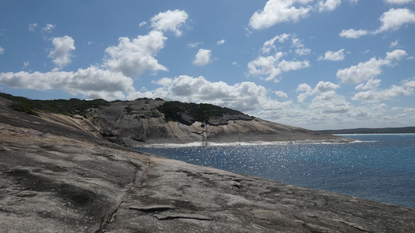
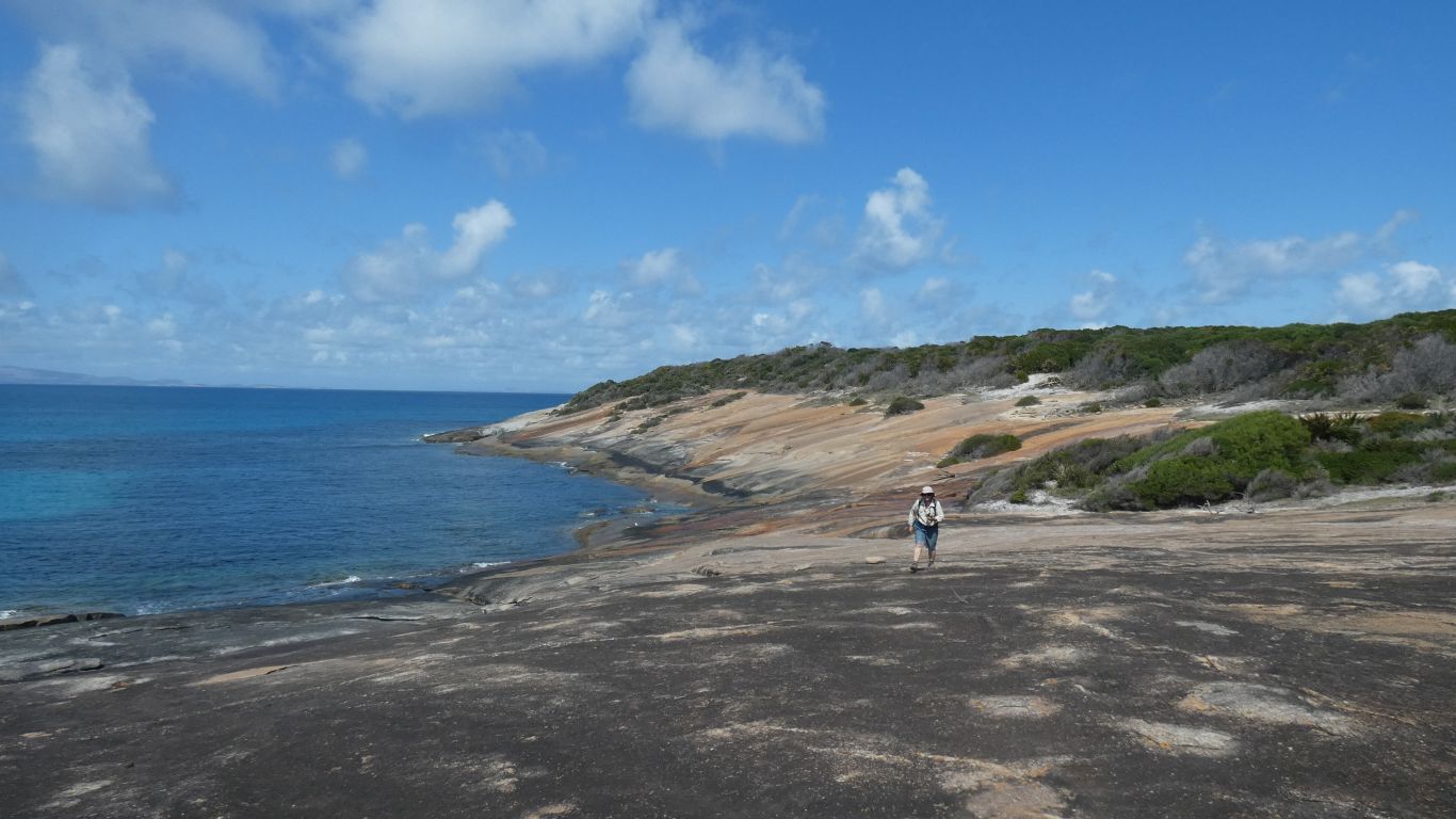
All gneiss.
It looked like granite to us. Gneiss is metamorphosed granite, shale or schist.
We suspect from granite because of the domed shapes of an intrusion rather than metamorphosed sedimentary rocks.
Like us, taking advantage of a lack of wind.
Towards Dolphin Cove.
We probably won't reach Tagon Beach.
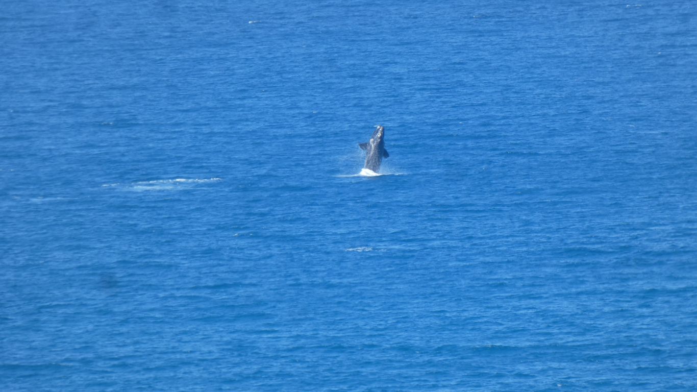
Humpbacks are described as "more acrobatic" than Right whales.
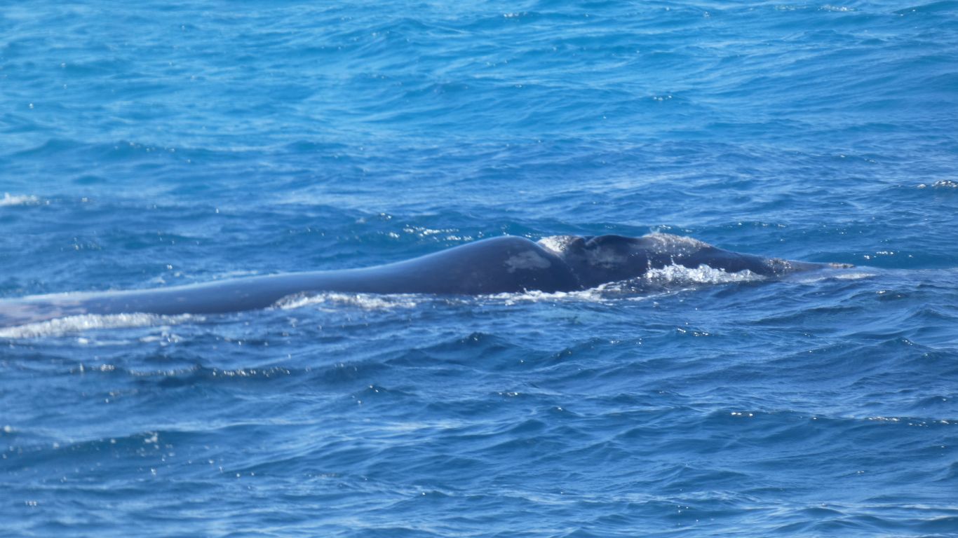
Perhaps this is a young whale.
It takes us some time to think of calves feeding.
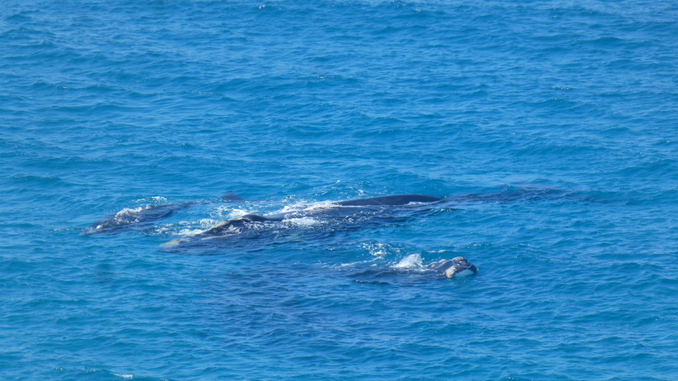
Southern Right Whales.
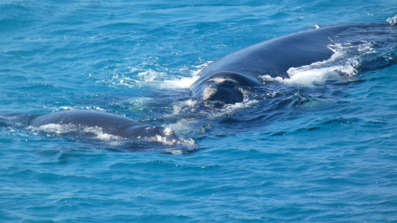
This close we don't have to imagine how big they are.
Right Whales because they were the right ones for the whalers to catch easily.
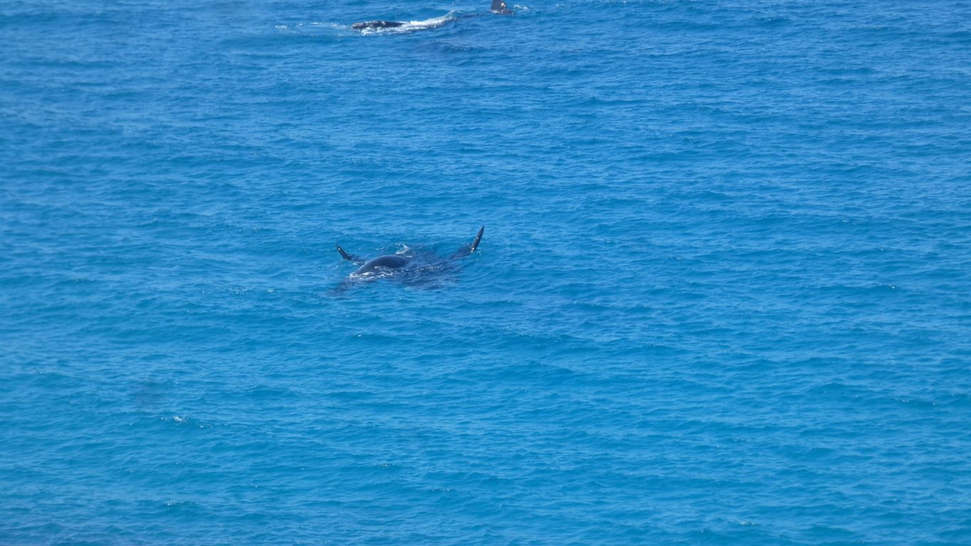
We think the father further out, he'd lagged, caught up, then we lost sight.
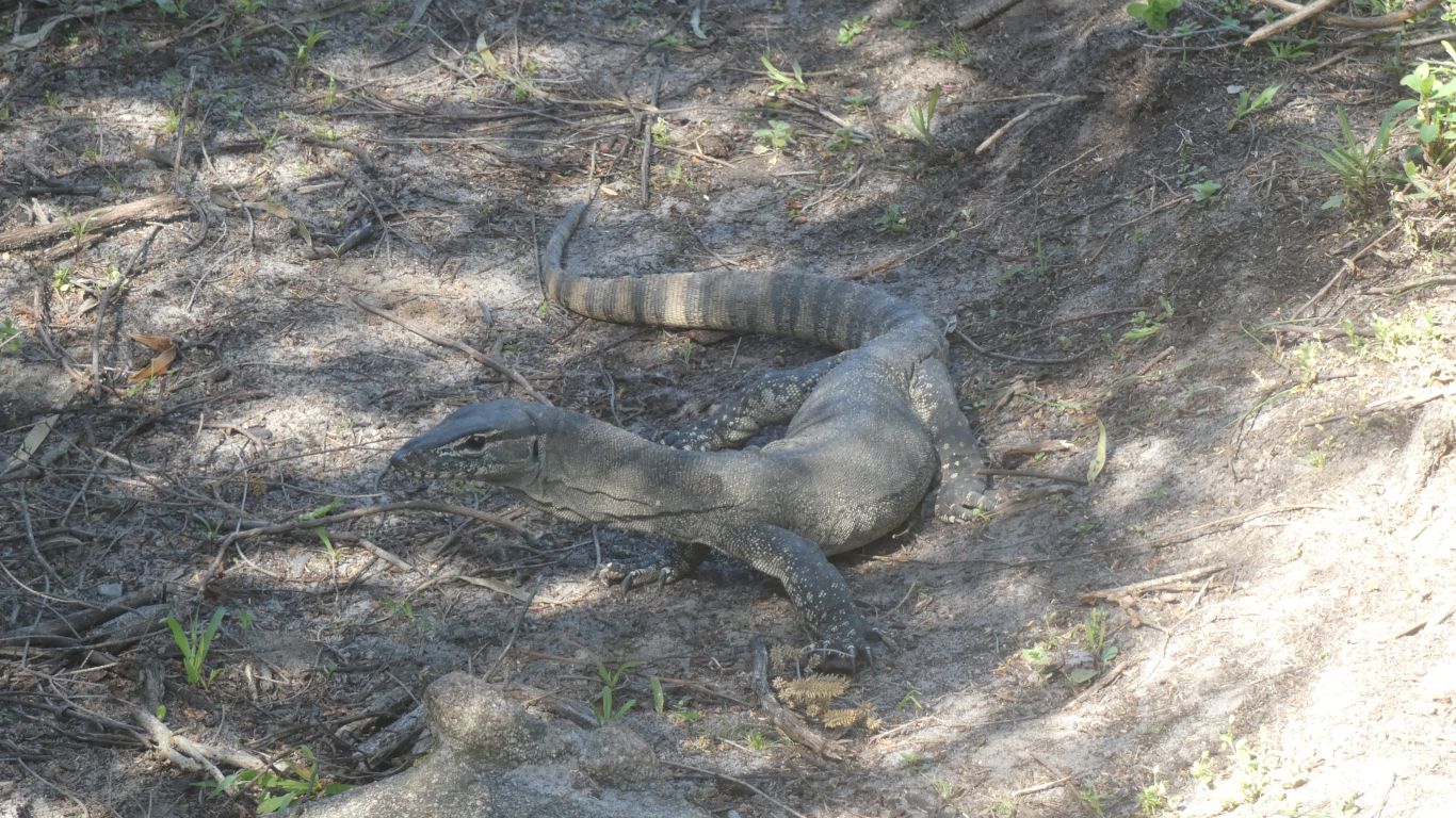
With a brief stop while the goanna, a Rosenberg's Monitor, decides to vacate our path.
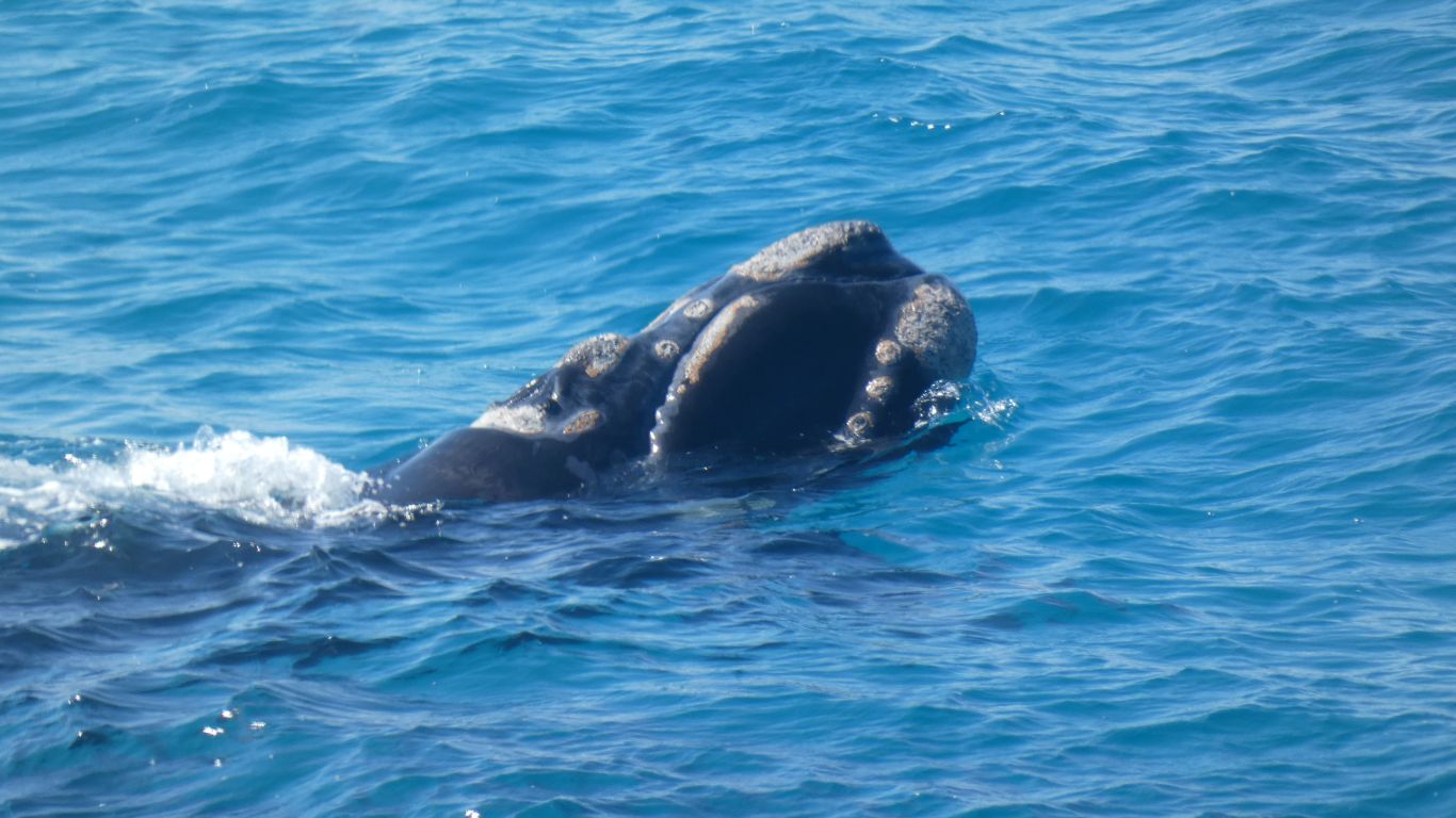
Imagining we can count the barnacles, so close are they.
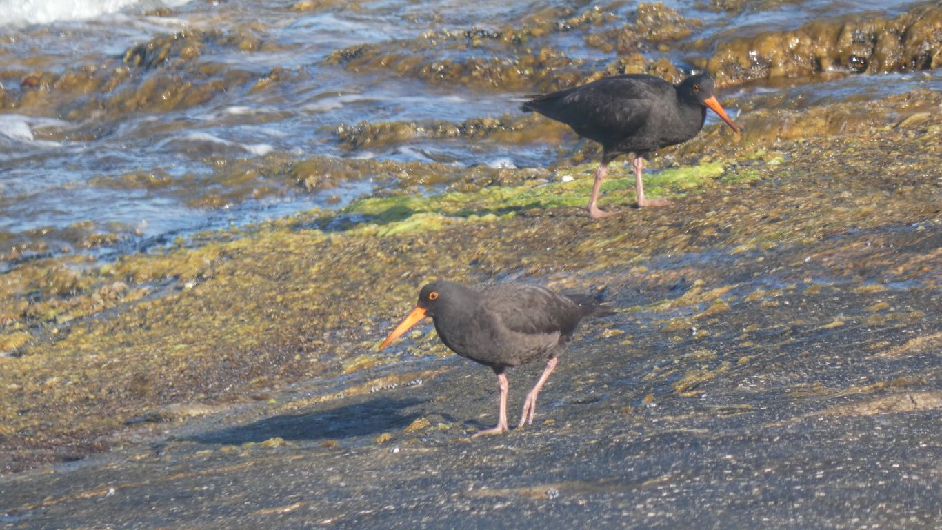
A calm day we can mostly ignore the safety signs for fishers, advice on how to tie themselves to rock anchors provided. Even instructions on tying a bowline knot.
The whales have rounded the headland and are resting in the calm water.

Ali's knee and foot beginning to hinder.
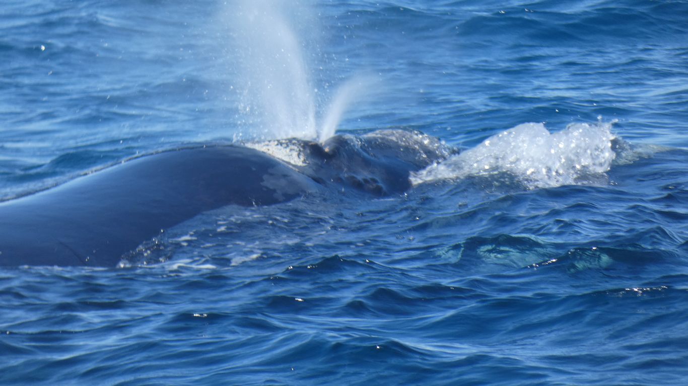
They blow out of two blowholes, humpbacks only have one.
The camera (or at least the camera operator) won.
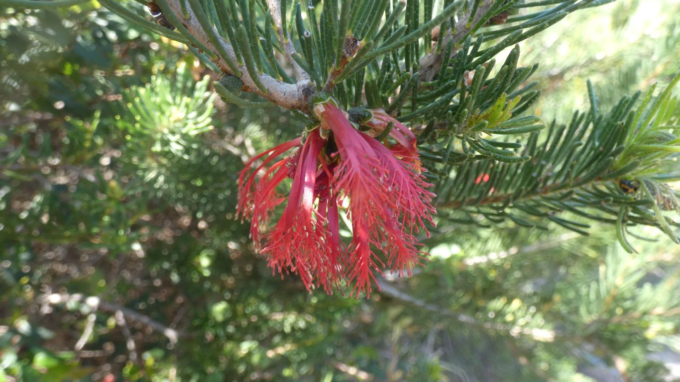
Catching the right light is taking us a while to master, and perhaps we never will.
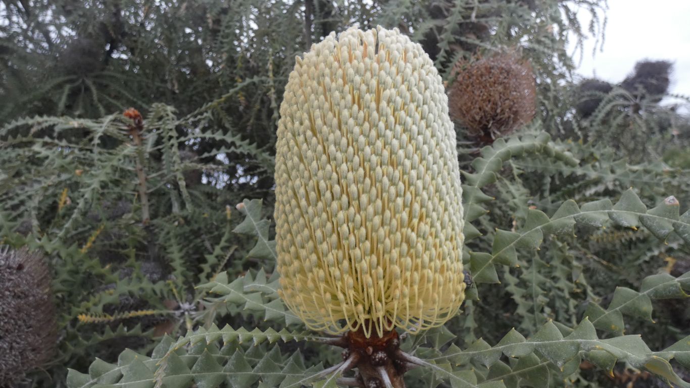
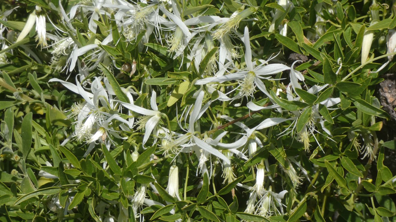
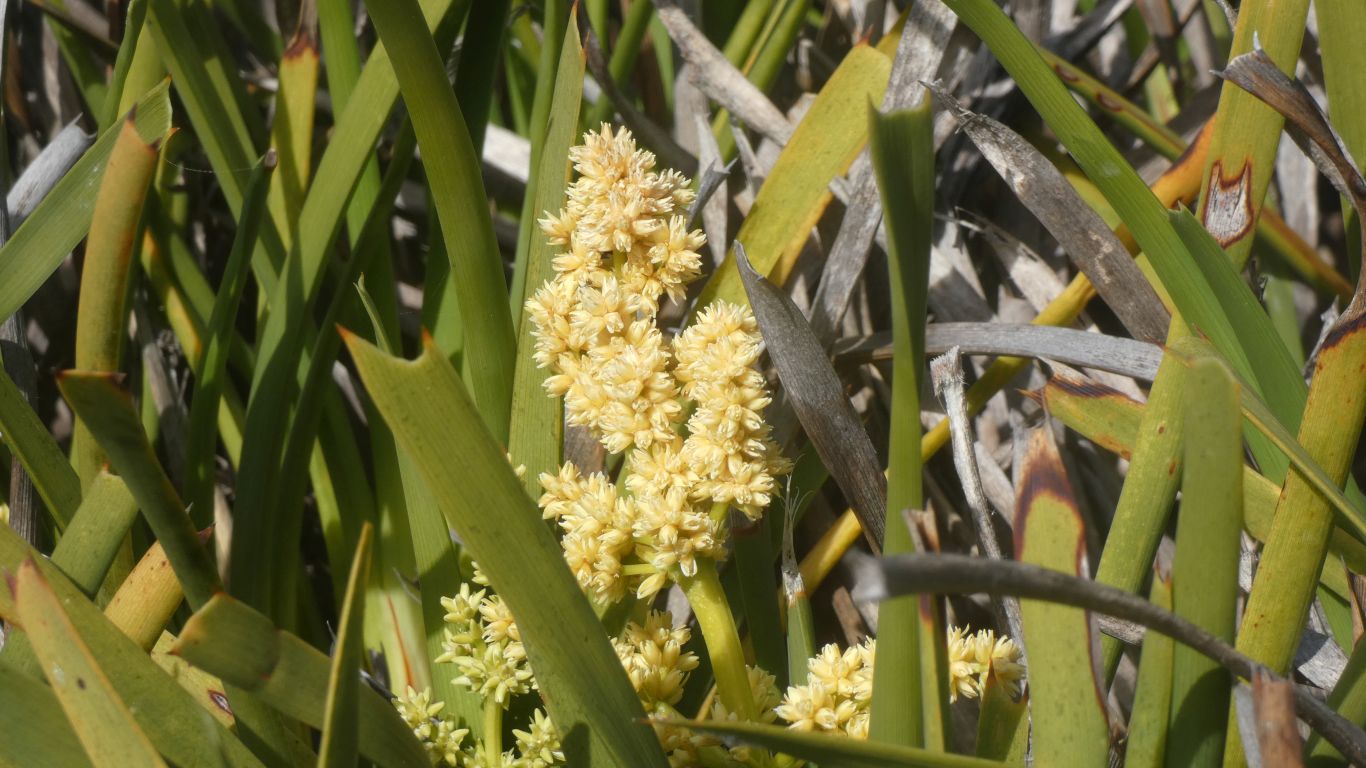
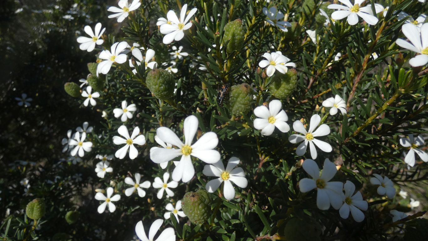
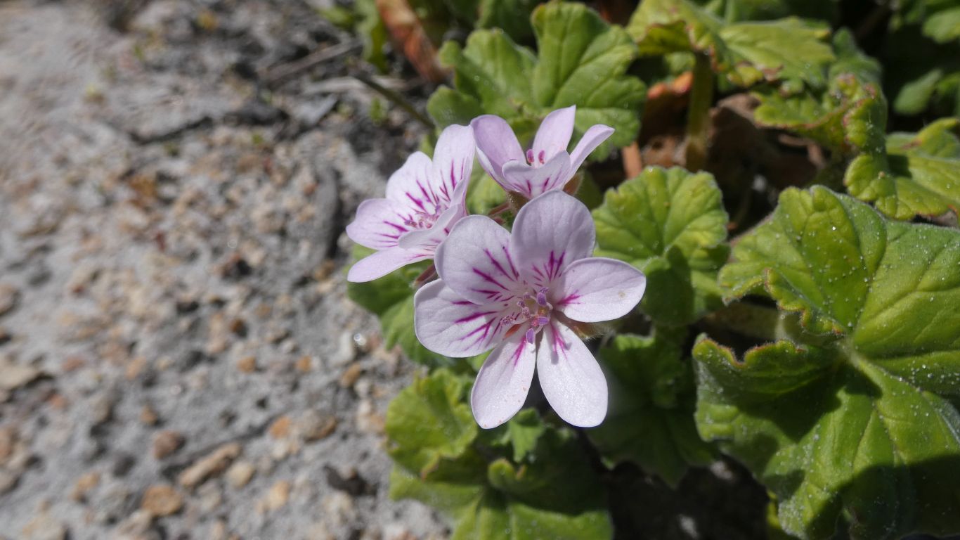
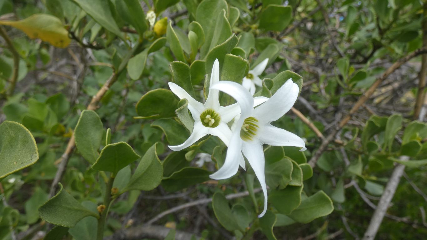
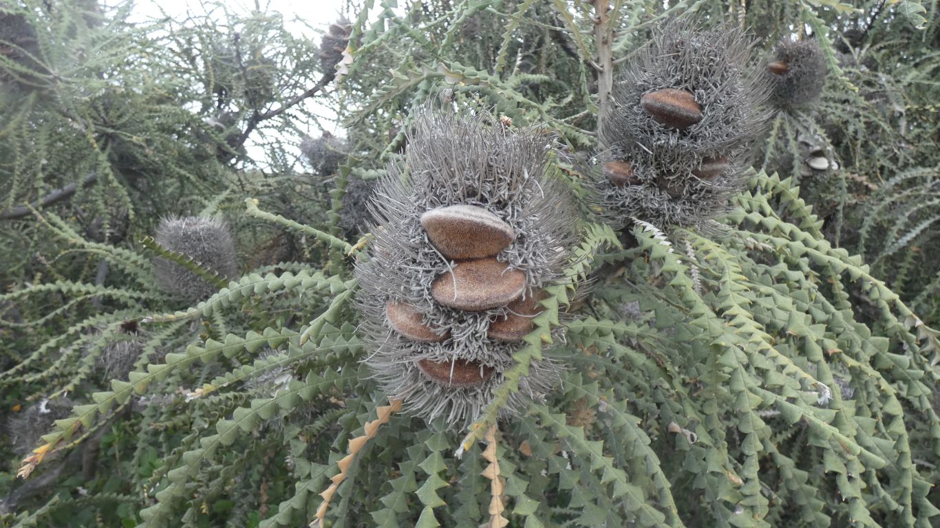
The flowers on almost all the banksias (southern plains banksias) we've seen have wilted, and fruited.
This one still flowering.
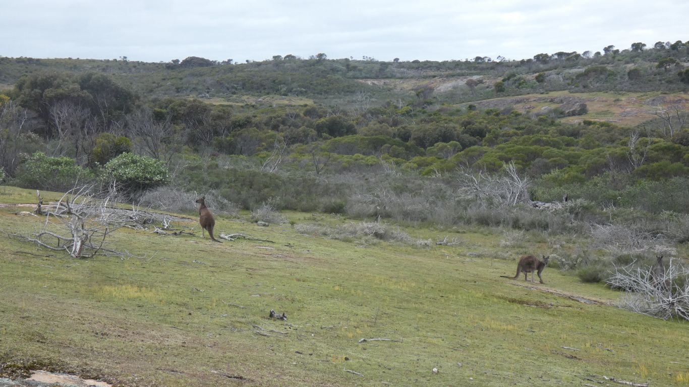
A couple of red kangaroos enjoying the cloudy day.
Saw me.
And just as nonchalently strolled back into the bush.
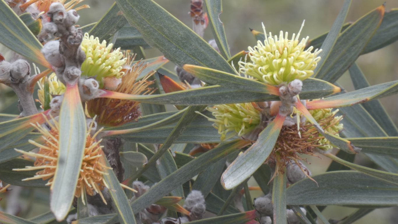
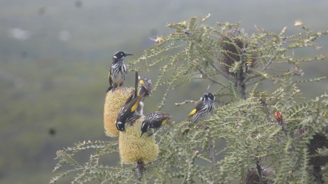
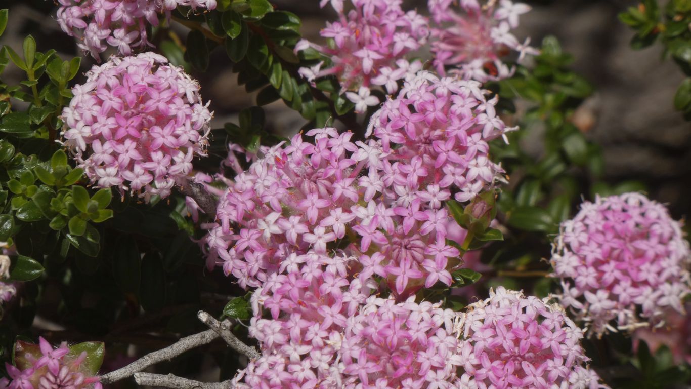
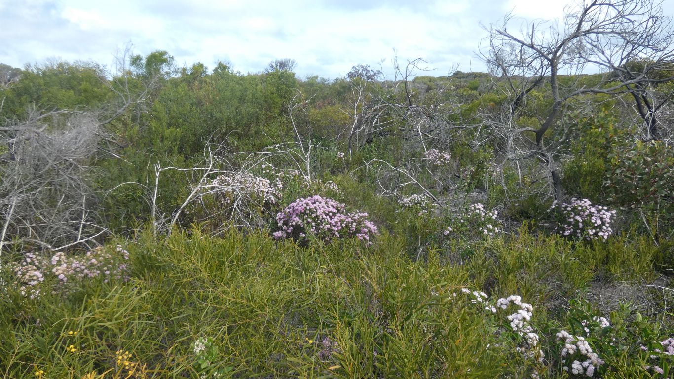
Surrounded by banksias, with a few still flowering.
It seems the habitat for New Holland Honeyeaters includes banksias and grevilleas.
I take the opportunity to fit the engine fan belts purchased in Esperance. The old belts had begun to slip, unchanged in 15 years.
We also checked engine water, we've had to fill it frequently, though the quantity required reducing. Heating hot water with the diesel heater for a shower I realised the space heater was working. It failed us when we needed it at the start of the trip. I didn't want to disturb hose connections so far from home. I suspected an air lock or a blockage. Now I think air lock which has slowly cleared. Either way, nice to have a heater again. We may need it before we reach home.