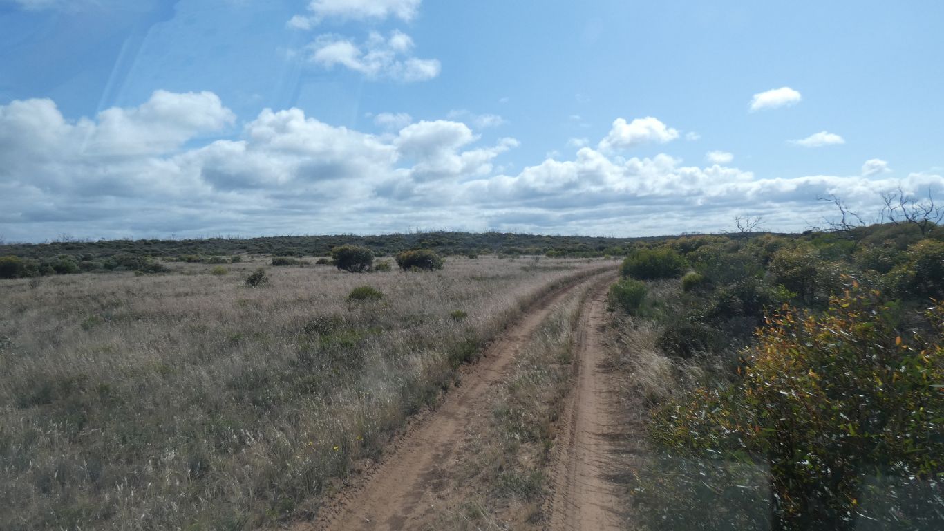
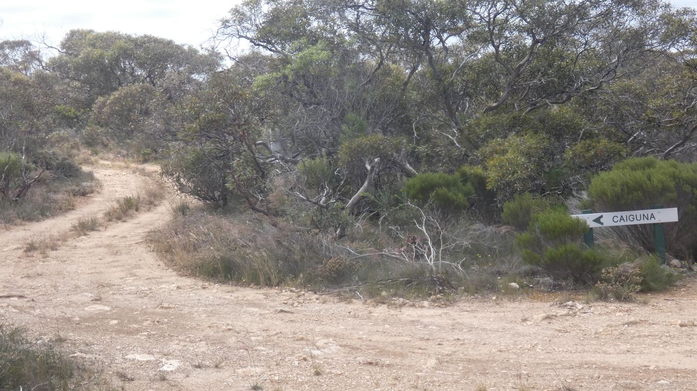
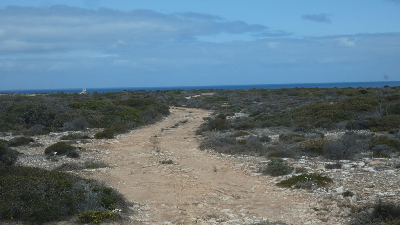
The track starts well.
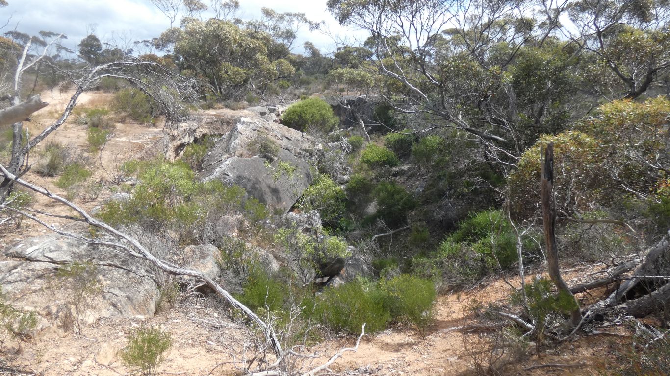
We hadn't expected so much grass.
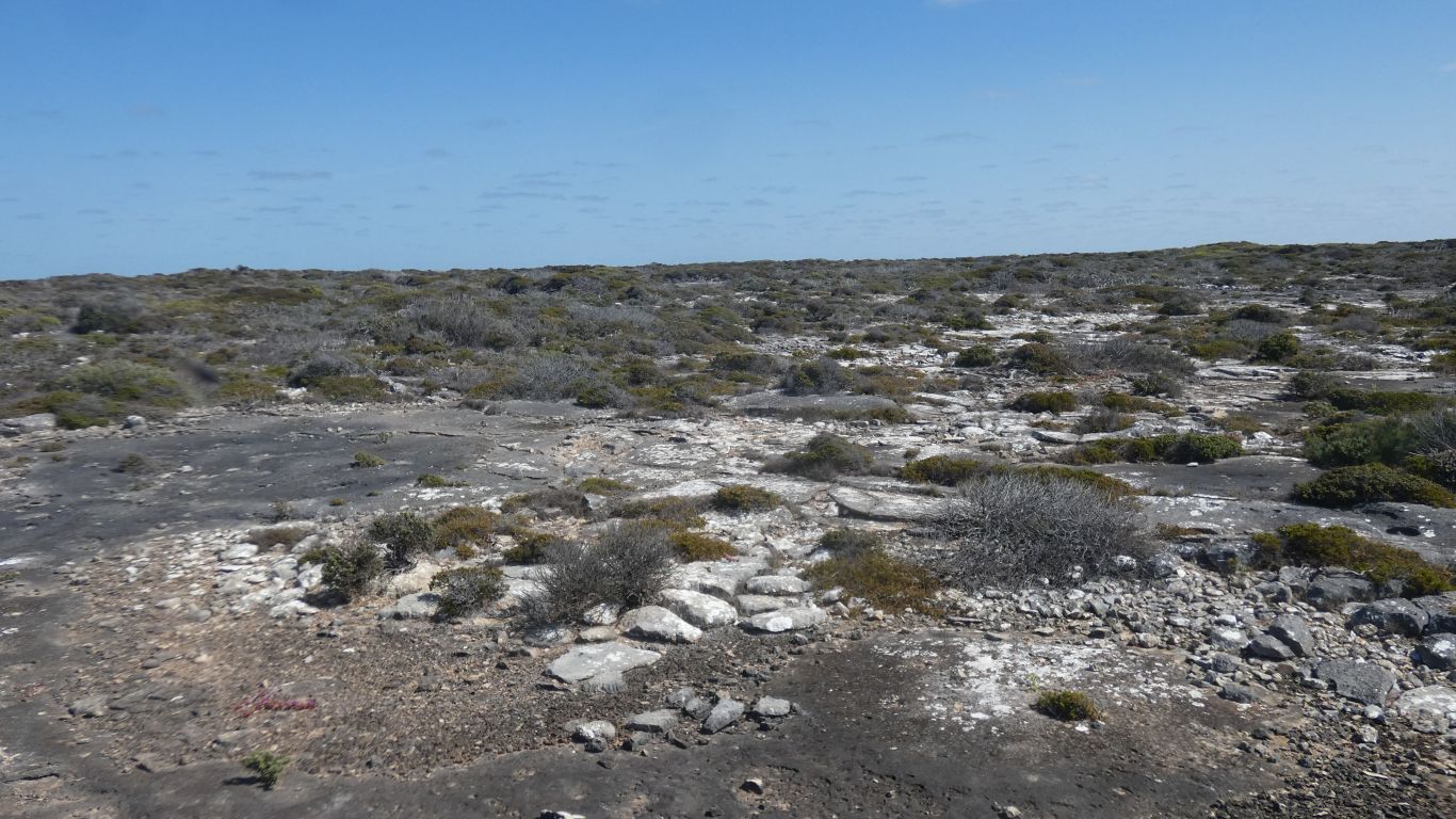
There are patches on the track where its green. But mostly "golden". The track is dry. With evidence of what happens when its wet. It takes a while to dry out and we have no desire to be stuck.
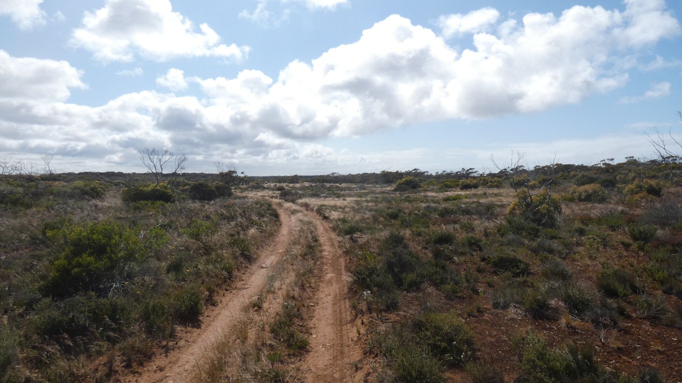
Such was our slow speed we were able to stop.
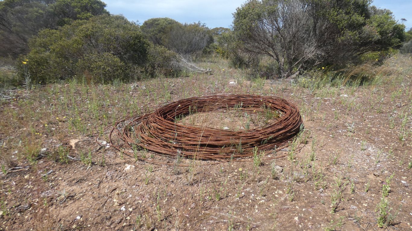
We decide its new wire. Helped by the presence of old wire on the track.
A collapsed sinkhole.
We stop long enough to take a pic.
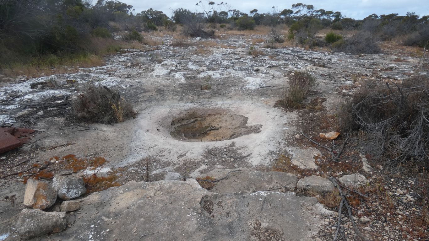
Passing a gnamma hole. If I've understood the term correctly. Known by Aboriginal people as a source of water.
A water hole in the limestone. There's a slight incline for water from a largish area to be captured.
Its dry, with sand. We don't know how deep.
Some holes we see in the limestone are quite deep. One we see later on top of the cliffs is a couple of meters deep, a narrow, 0.5m, opening with a couple of meters diameter cavity.
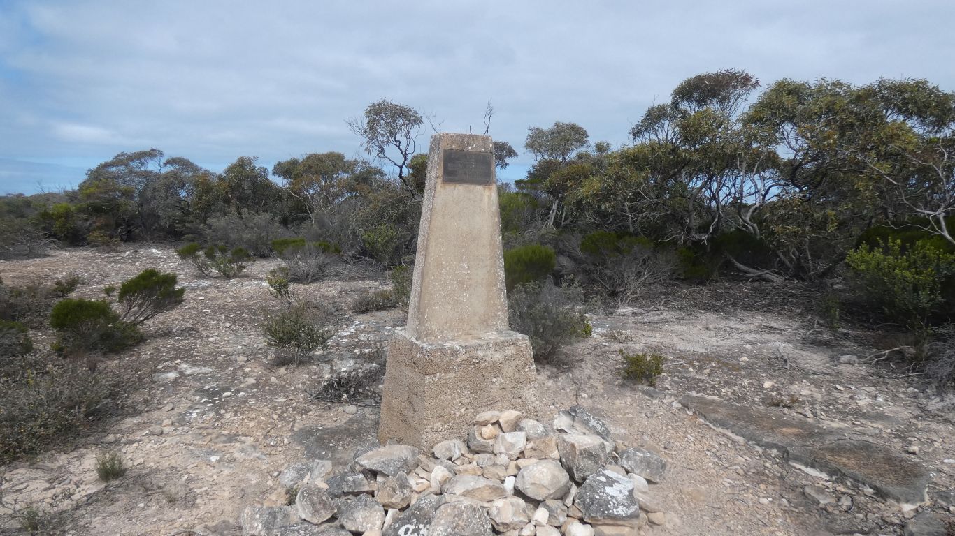
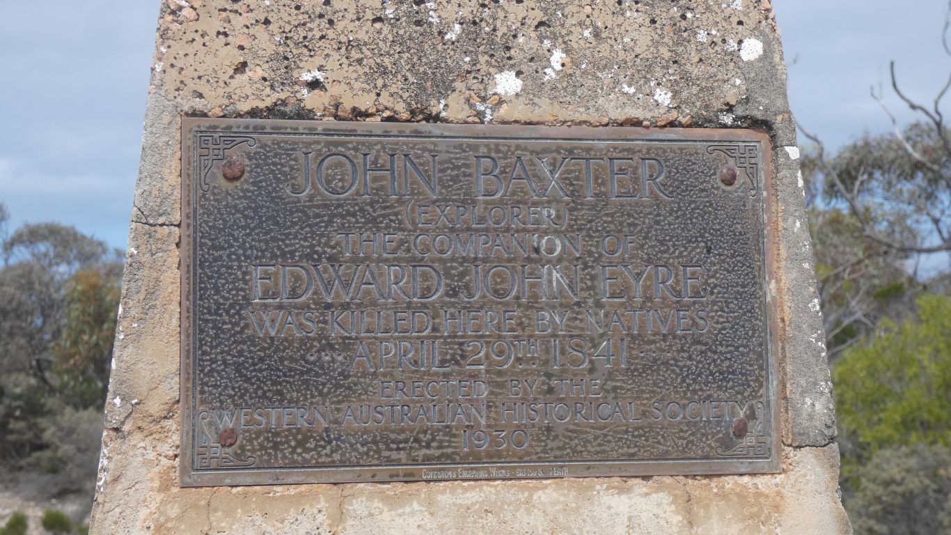
Baxter was shot, and died, when he tried to stop them.
His body wrapped in blankets. The ground, limestone rock, too hard to dig a grave.
The memorial was erected when the Western Australian Historical Society recovered the bones in 1930.
Nothing we can find on circumstances prior to absconding.
We are not disappointed.
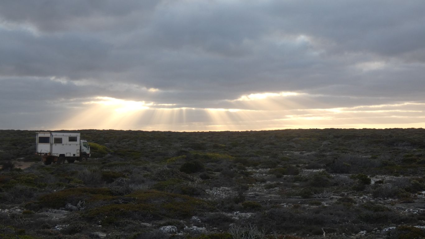
We've driven 88km in about 7 hours. Further than expected (our bad planning). A tad tired. A rest tomorrow, and some planning. We are making this up as we go.
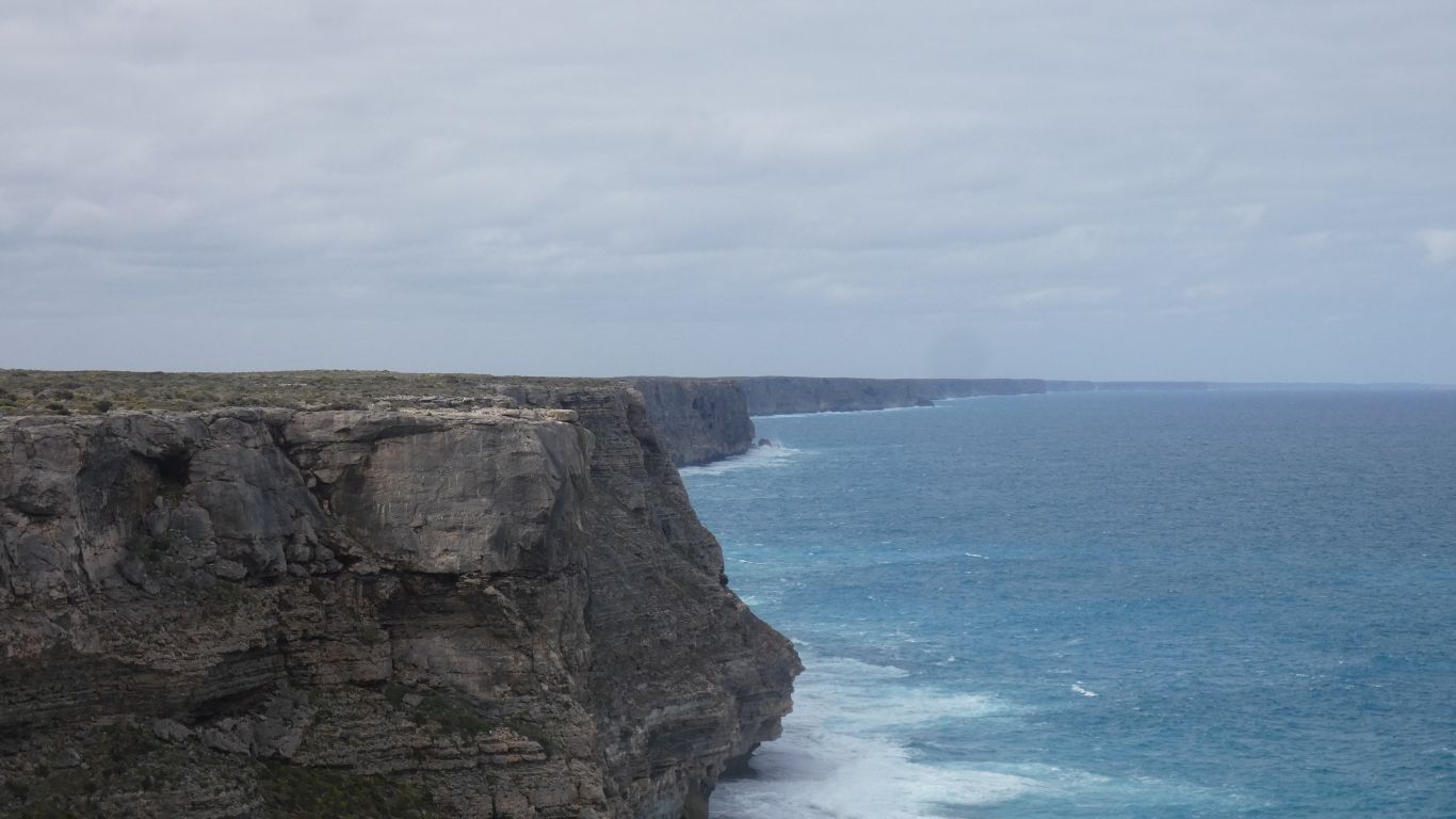
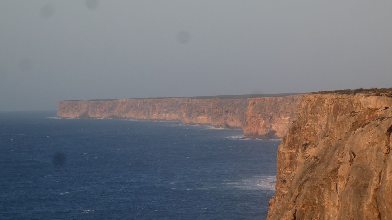
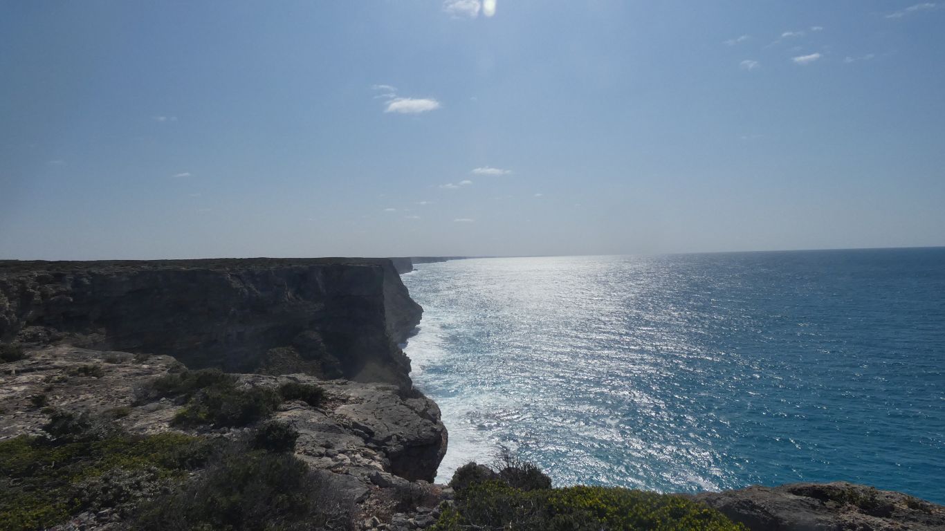
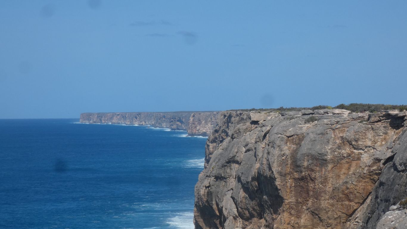
We take care to not be blown off the top of the cliffs.
We've also looked at the Eyre weather observatory daily reports. Negligible rain.
Not enough sun to illuminate the cliffs at sunset. We don't look.
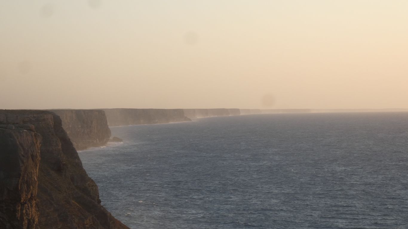
I dug my down jacket out of its locker so I could better appreciate the view. A wooly hat (I knew it would be useful if I brought it) which can't blow away.
At this time of year, with the prevailing sun angles, this is probably as good as it gets looking east. I'll check during the day, after the sun passes overhead.
Just read a speliological magazine article, a helicopter reconnaissance flight followed by ropes down the cliff face to caves.
Sooner them than me, though the idea fascinates. Perhaps if we were younger?
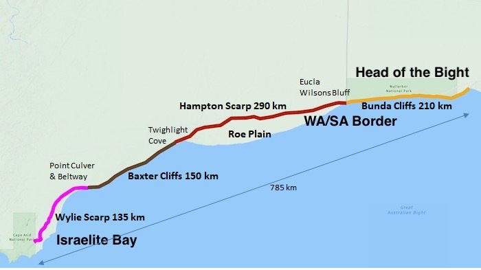
I borrowed the basis for this map from https://www.adventures.net.au/information/baxter-cliffs
Escarpment where there is dunes and beach, cliffs where there isn't.
We are currently 2/3 along Baxter Cliffs. Twighlight Cove is where the
cliffs become Hampton Scarp
| Wylie Scarp | from | Israelite Bay | to | Point Culver & Beltway | 135 km |
| Baxter Cliffs | Twighlight Cove | 150 km | |||
| Hampton Scarp | Eucla & Wilsons Bluff | 290 km | |||
| Bunda Cliffs | Head of the Bight | 210 km |
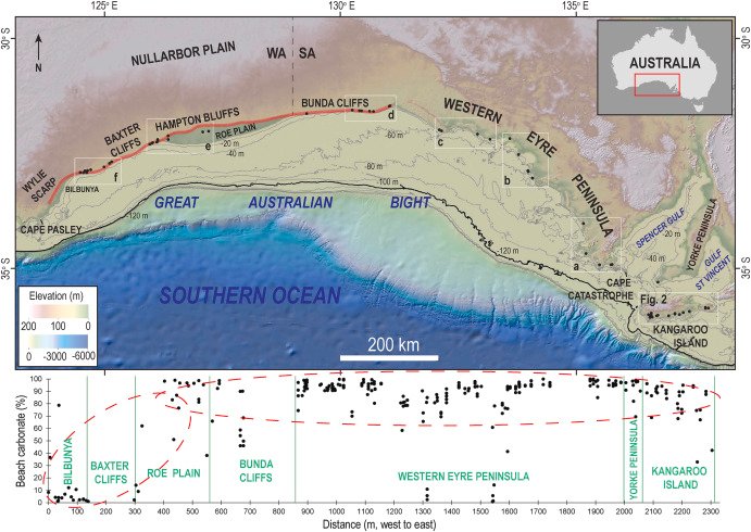
Another, broader, map that caught my attention. Includes the percent carbonate in cliff top sands.
From:- https://www.sciencedirect.com/science/article/pii/S0277379124000180
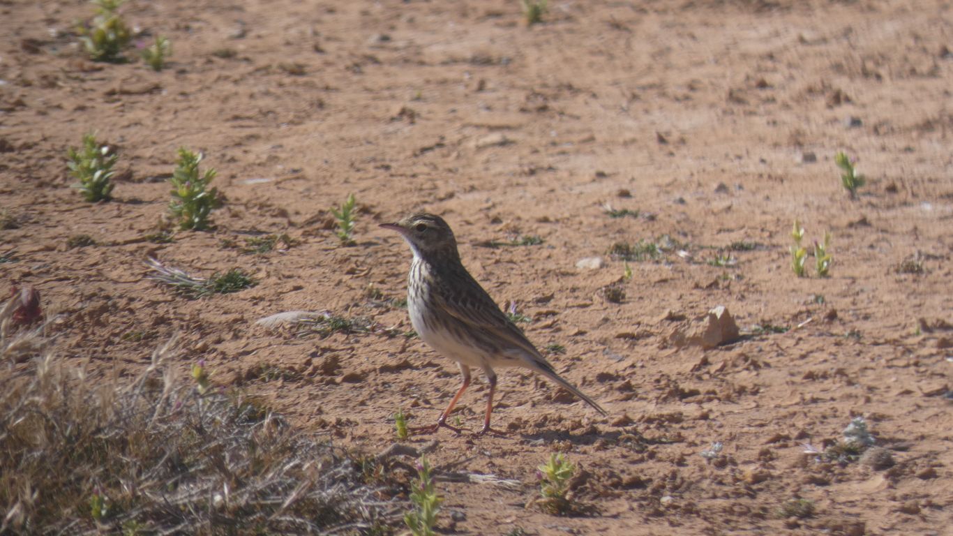
There's been a dearth of birds this trip. We've heard them, but not seen them.
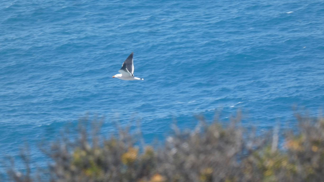
We watched for a while. Simply soaring along the edge of the cliff. Seemingly enjoying life.
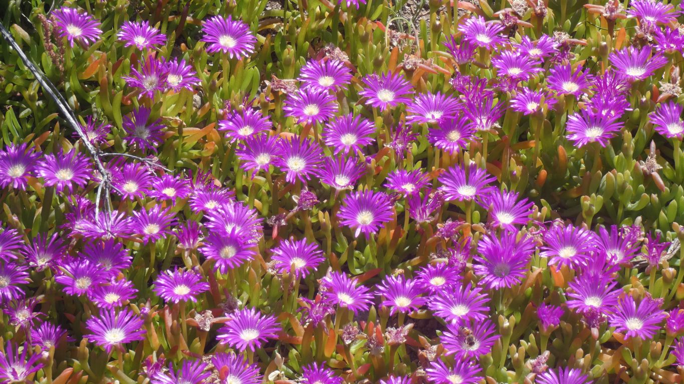
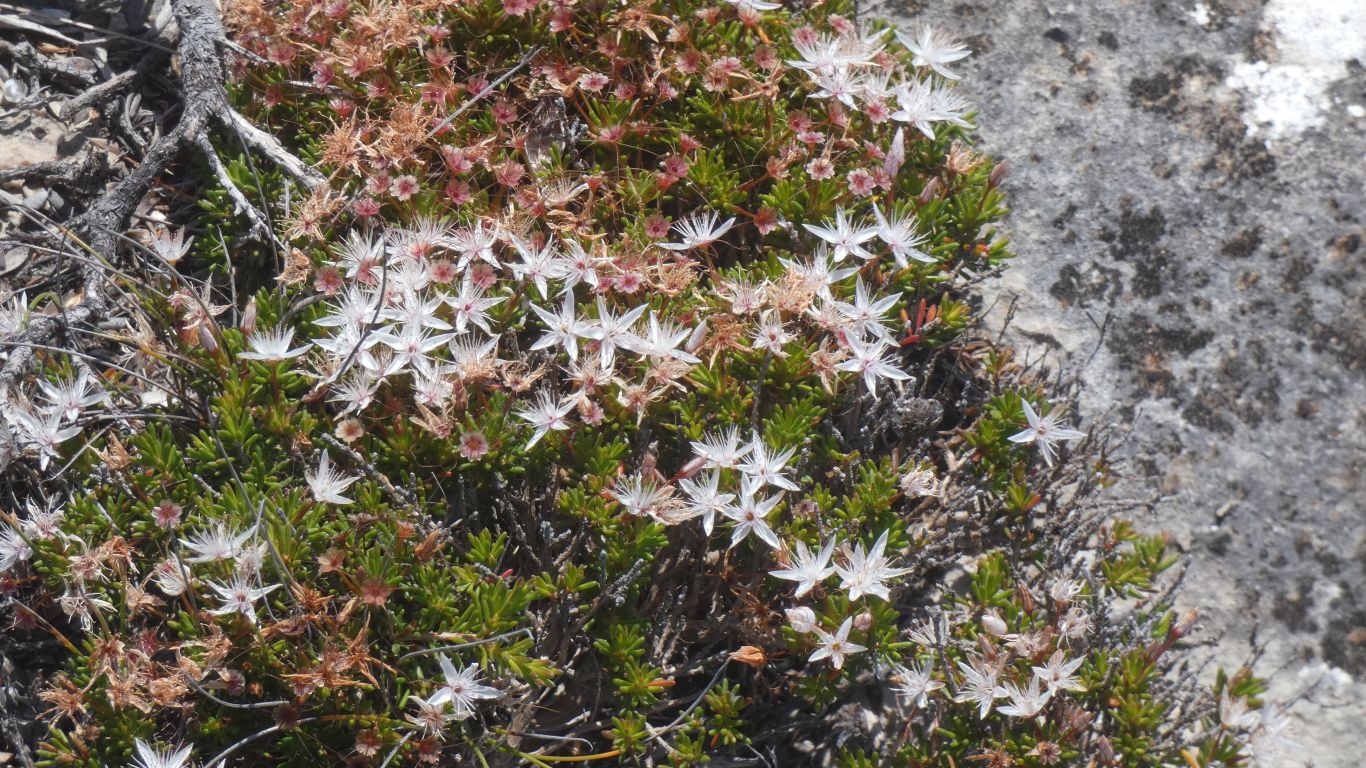
Much smaller than we have seen previously. Hostage to the wind swept, exposed cliff top conditions.
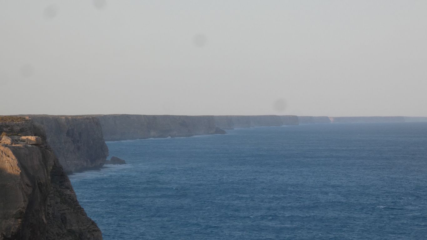
They seem to reach forever.
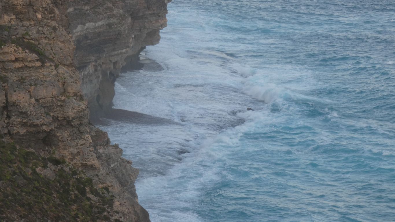
There's a shelf.