Waratah, Philosopher Falls, Corinna, Strahan February 10 - 12
 
  We leave the coast, headed south.

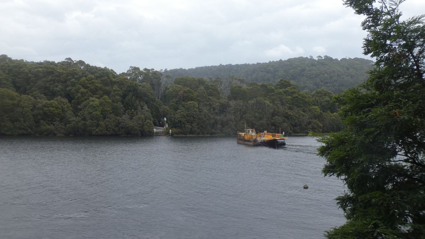
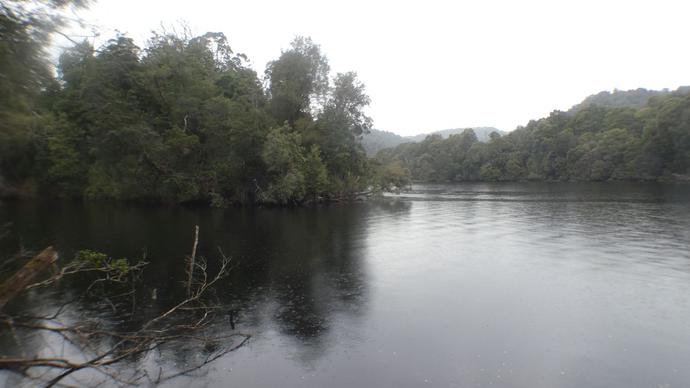
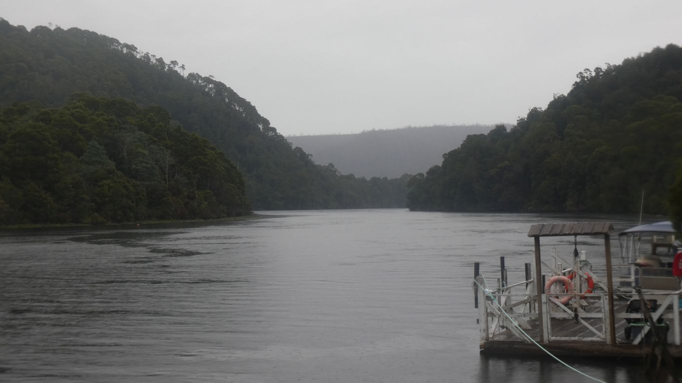
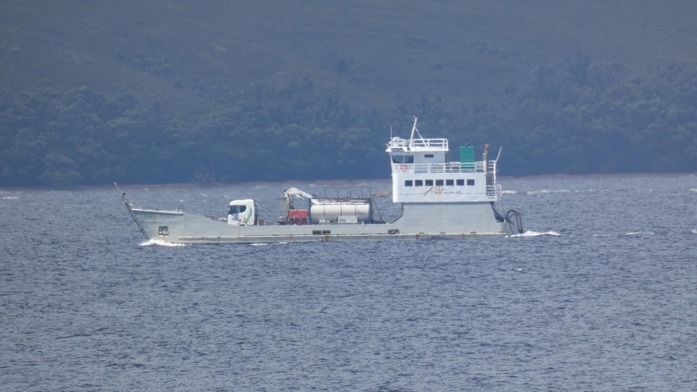
A bit difficult to get the timing right, we booked a cruise from Strahan, which sets the timetable for the next week or so.

     
  A brief stop at Hellyer Gorge.

Hellyer was an official of the original Van Diemans Land Company.

     
  We congratulate ourselves on recognising leatherwood flowers.

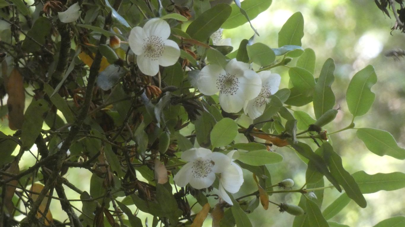
Lots of petals to trip over.

     
  A well vegetated gorge.
     
  A common blackbird. Introduced to Melbourne in 1850's.
     
  A Tasmanian Thornbill. Glimpsed briefly in the car park at the gorge.
     
  Onward to Waratah.

Mt Bischoff Tin Mine was closed in 1950's.

Opened in 1880's there was adequate time to reshape the landscape.

     
  Waratah Falls was put to good use. Look carefully there's some stonework visible.

There were at least 60 500lb stampers below the falls, driven by water, the water reused for water wheels in series.

     
  We backtracked a little, to camp at the weir.

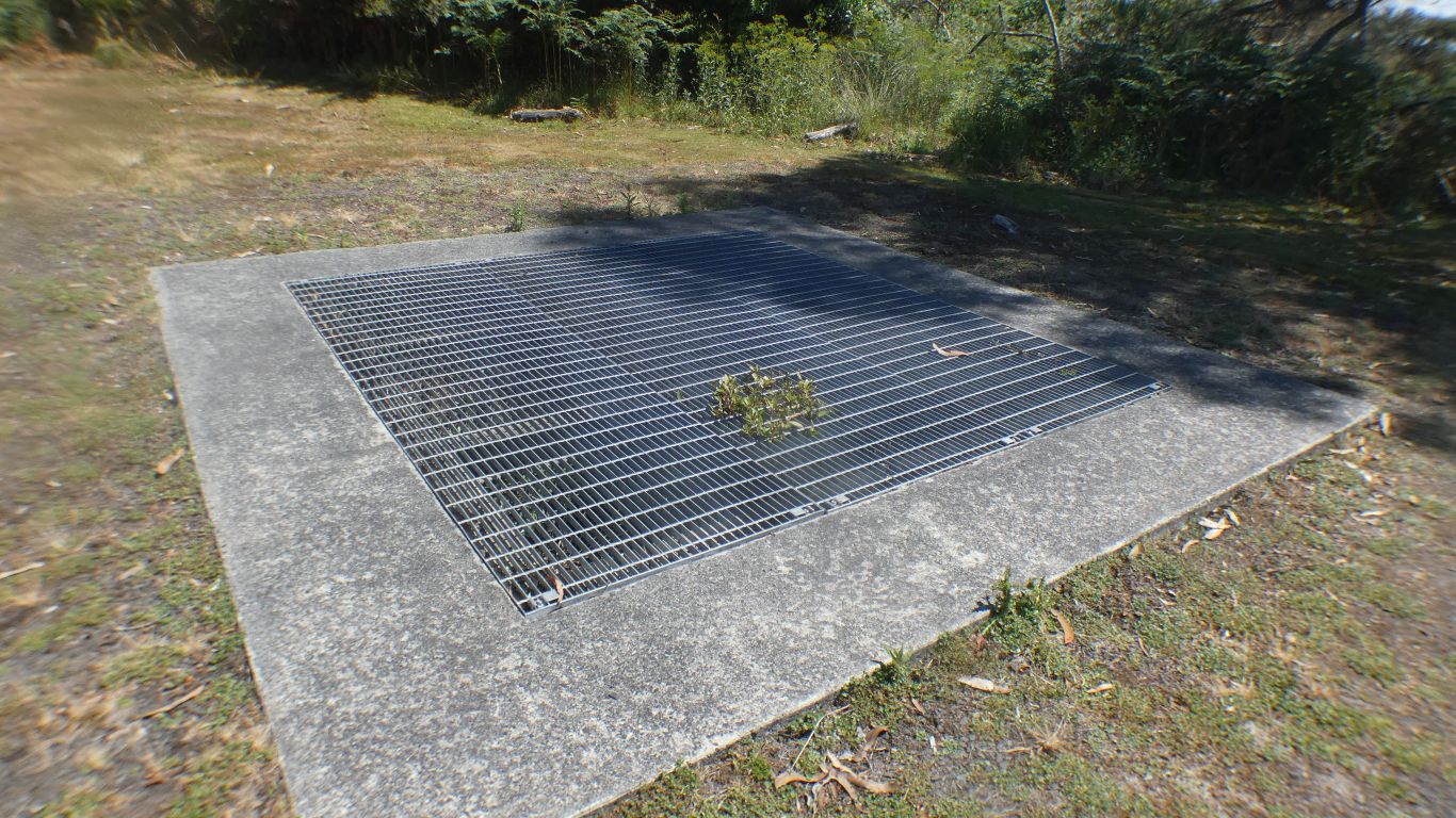
This covers an inspection shaft for a water tunnel. The tunnel dug to collect sub surface water. Delivered to an ever more thirsty mine.

It reminded me of a quanat. The water systems which originated in Iran to collect underground water for irrigation.

This is much less extensive. Eventually it was connected to a dam.

There are numerous water races in this part of Tasmania, to feed all the mines.


  We camp at the Waratah Weir. Disused. The water level much lower than when in use.

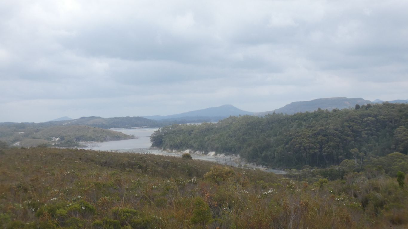
In the days it was built trees which would be submerged were not removed.


  To our east is, we think, Black Bluff Range. Below, to the north, of which is Winterbrook Falls.
     
  Onward and southward. We stop at Philosopher Falls for a short walk.

Recently in the news as evidence found of Celine, who disappeared a couple of years ago.

     
  Another water race, to feed the Magnet Mine. Silver.
     
  Primeval. A dark, foreboding, place.

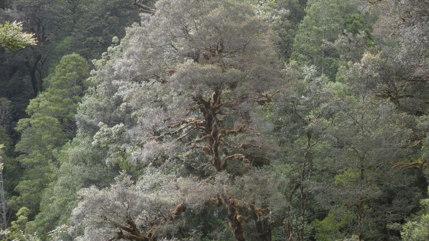
Moss covered, on all sides .... do trees have sides?

     
  From the bridge. Where the race begins.
     
  We walk sedately alongside.
     
  Down 200 steps. More of those very civilised steps, just the right height.

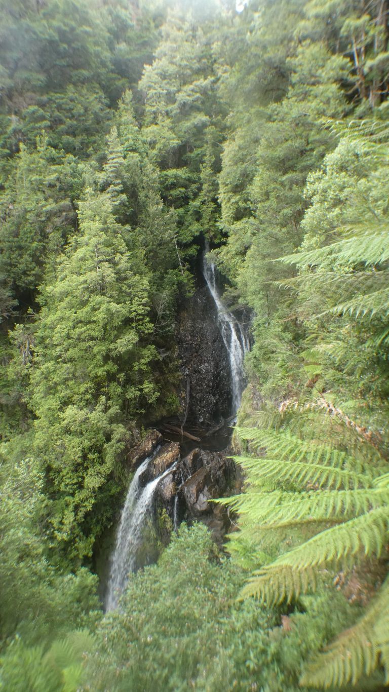
Lots of height for the race to provide plenty of power to the mine.

     
  The weather has been kind to us. Dry.

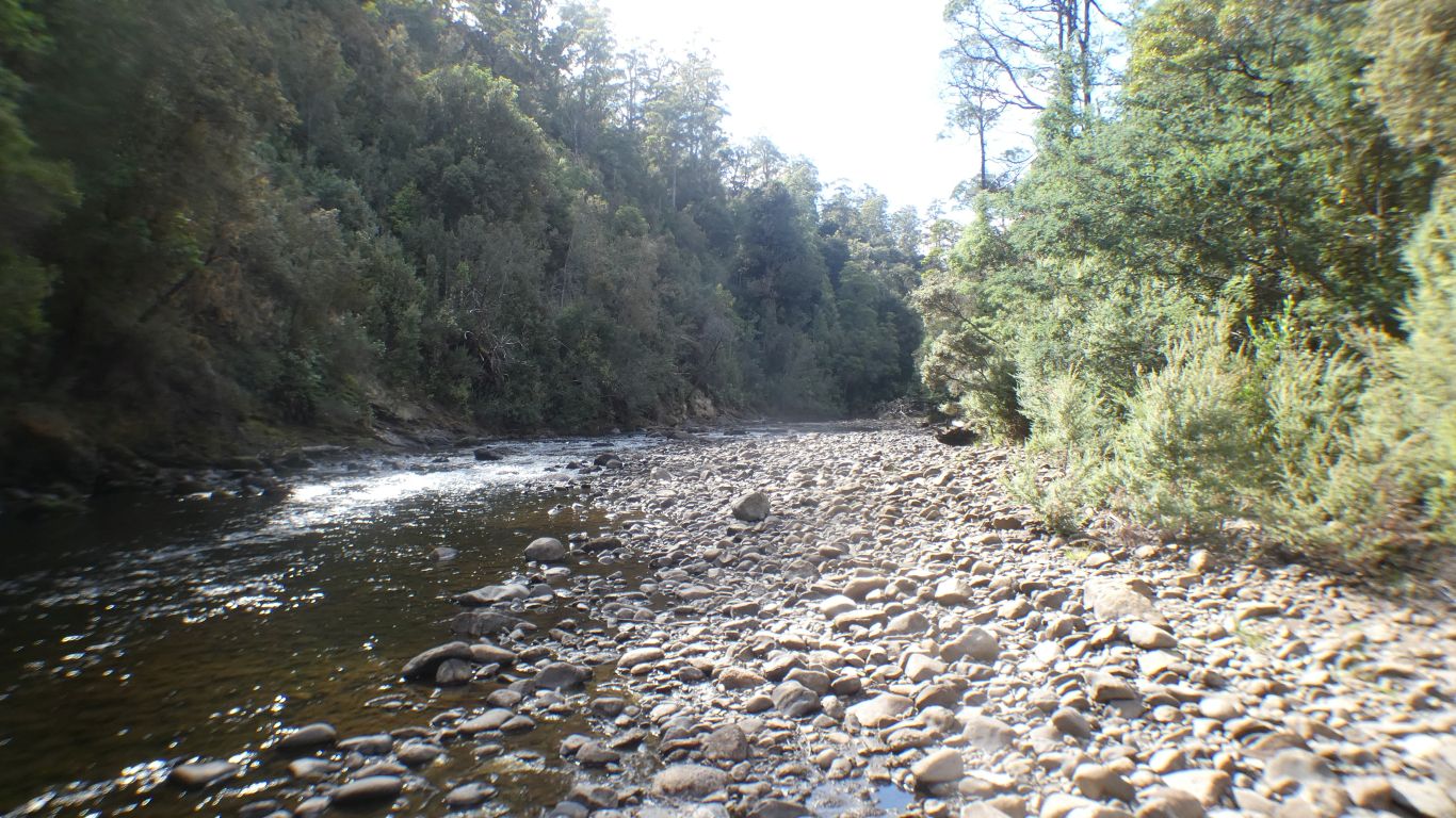
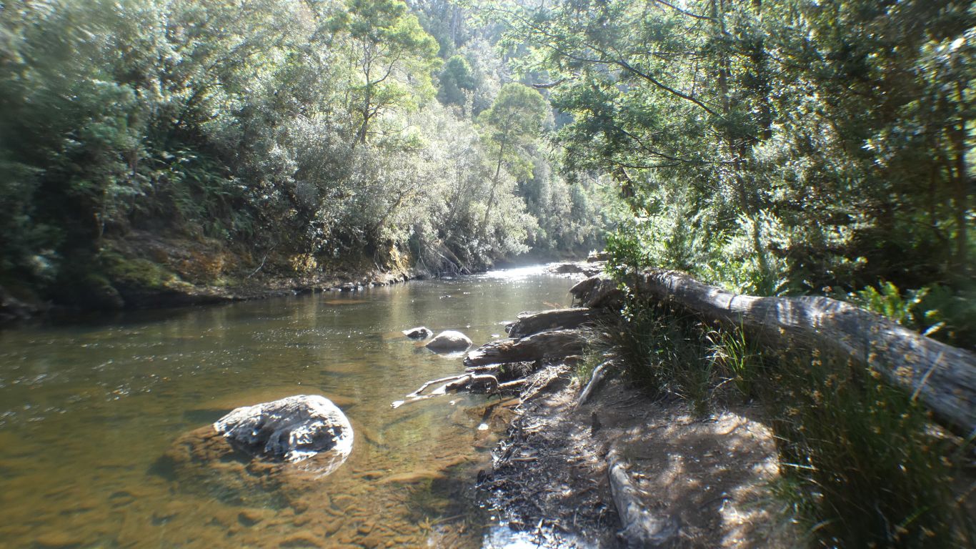
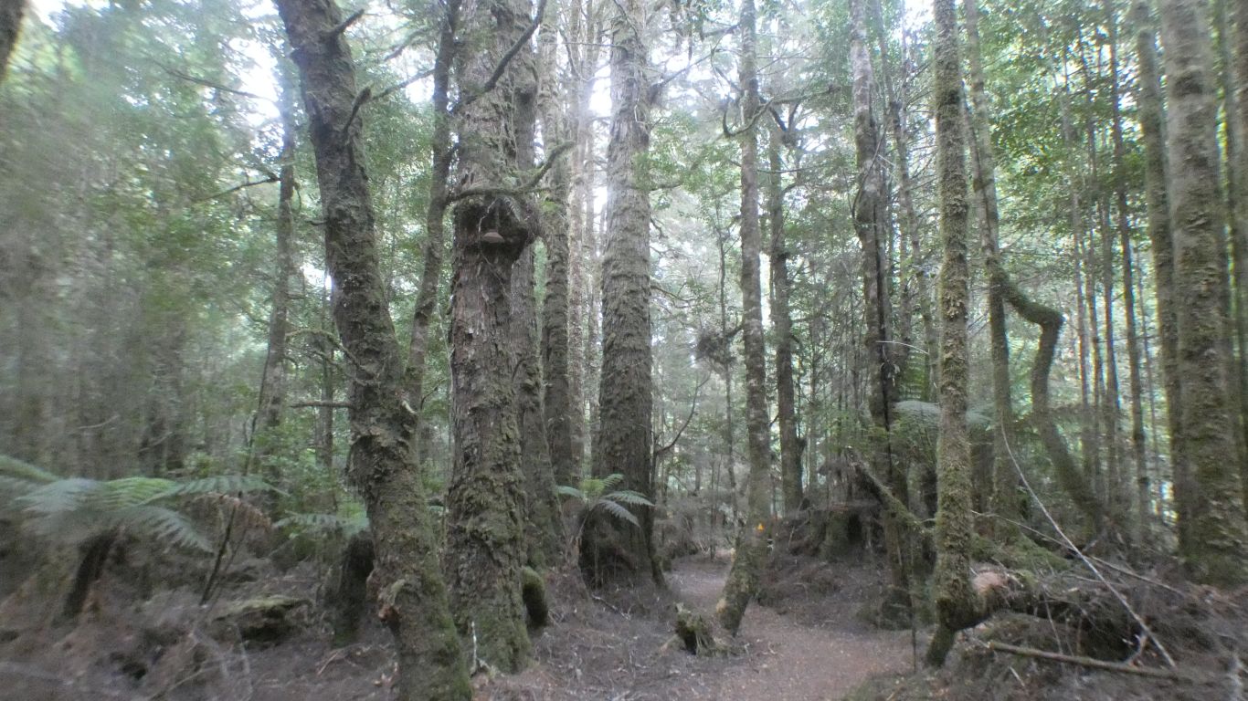
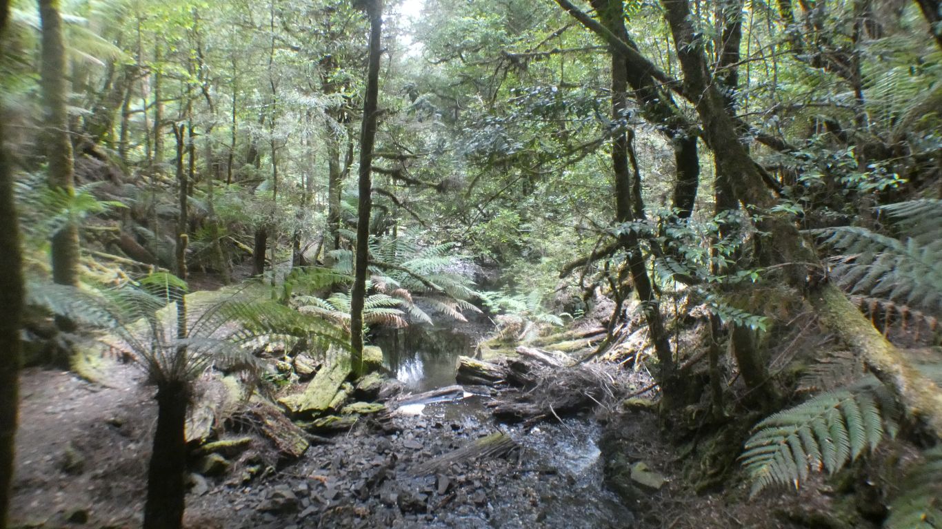
At times it must be very damp here.

     
  The falls were named after Philosopher Smith.

What a wonderful name.

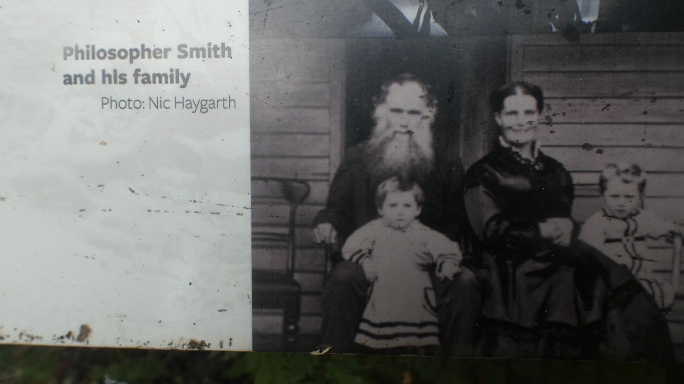
I think it was he who discovered the tin at Mt Bischoff.

Part of his claim to fame was an ability to survive for long periods with minimal rations.

Mention of only enough tea and sugar to make a pint of tea suggested to us that sugar is a good supply to caryy.

     
  At last, some sense to The Tarkine. Bounded by Pieman and Arthur River.
     
  From Whyte Mountain lookout.

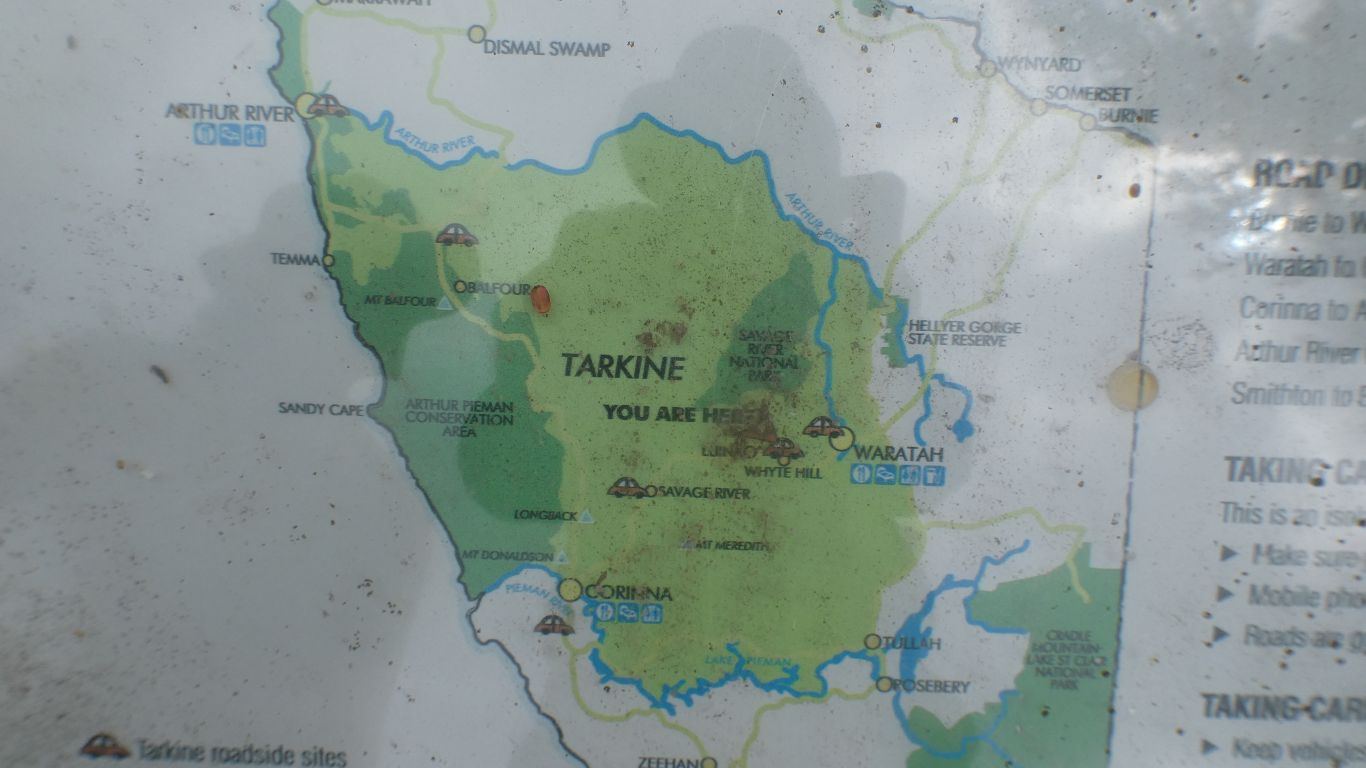
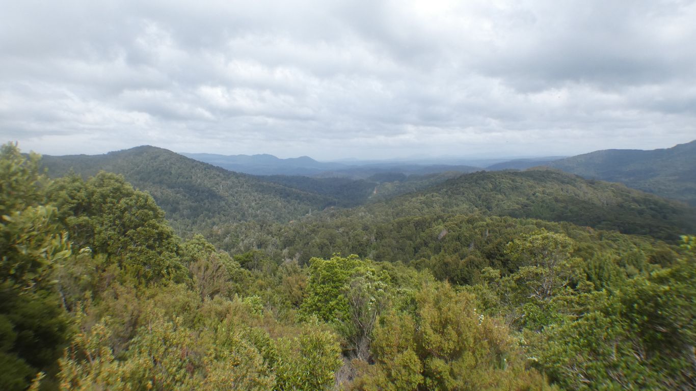
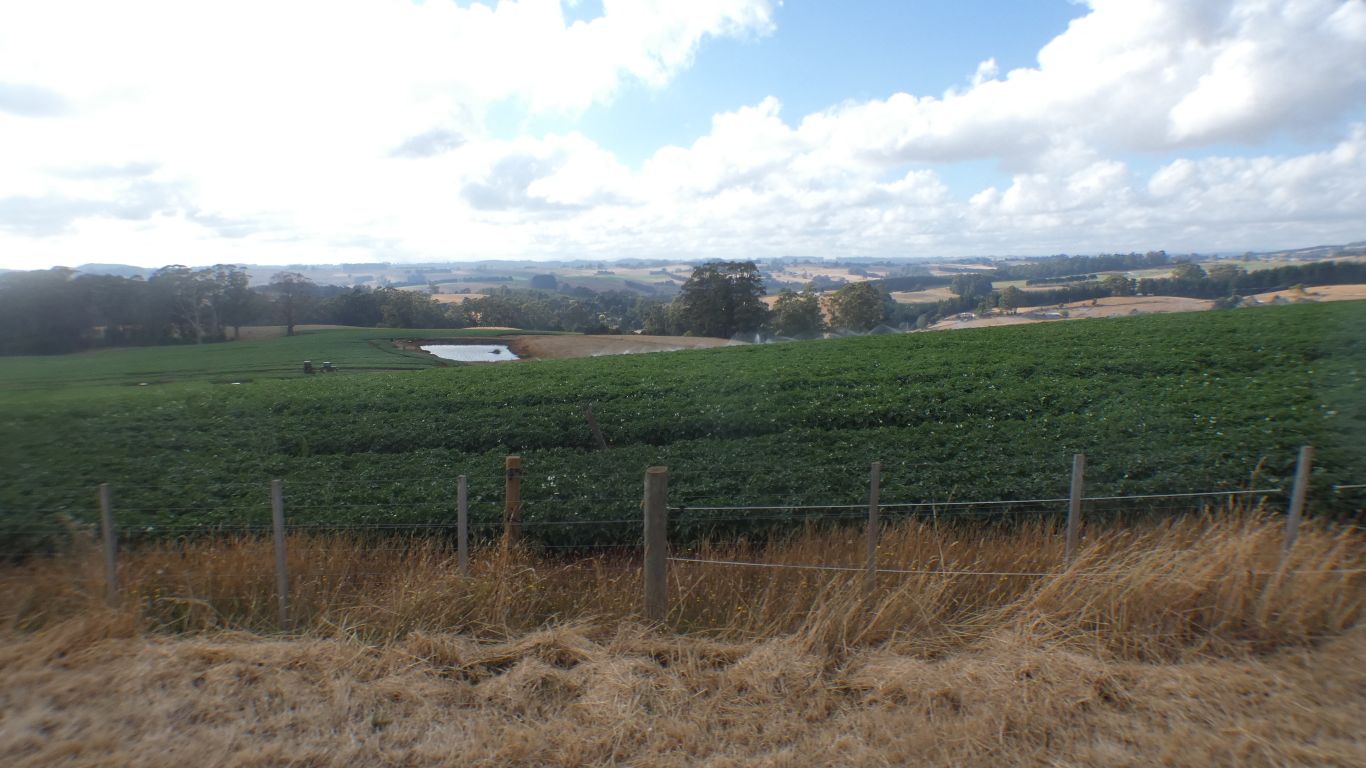
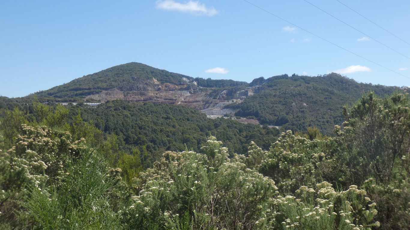
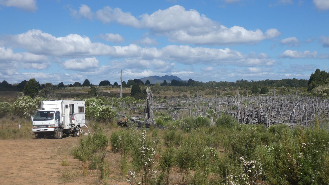
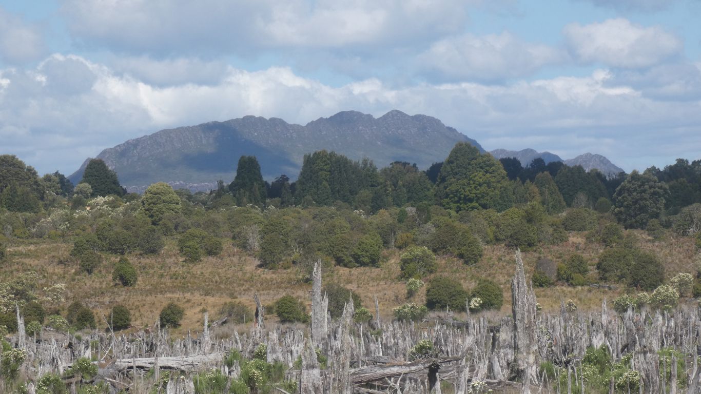
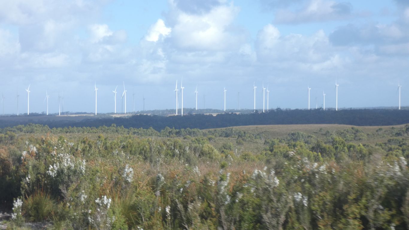
Looking south. There are more than 5 mines there somewhere.

One an osmiridium mine, which confused me as there is no element osmiridium.

Its an allow of osmium and iridium. Used in fountain pen nibs. Particularly by the UK company Osmiroid. The pens still sought after, though no longer produced.

The development of ball point pens killed off demand for fountain pens, and the mine closed.

     
  The thylacine was hunted to extinction in the 1930's.

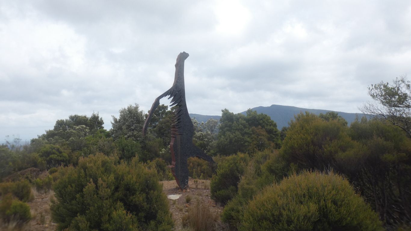
The Extinction Story is a sculpture by Matt Calvert. The thylacine hung by its feet.

     
  Savage River Mine is magnetite. The beginning of the slurry pipeline to the wharf we saw from Peggs Beach.

This is labeled "tailings dam".

     
  Corinna. Again. The ferry is working.
     
  An hour's walk along the Whyte River circuit.

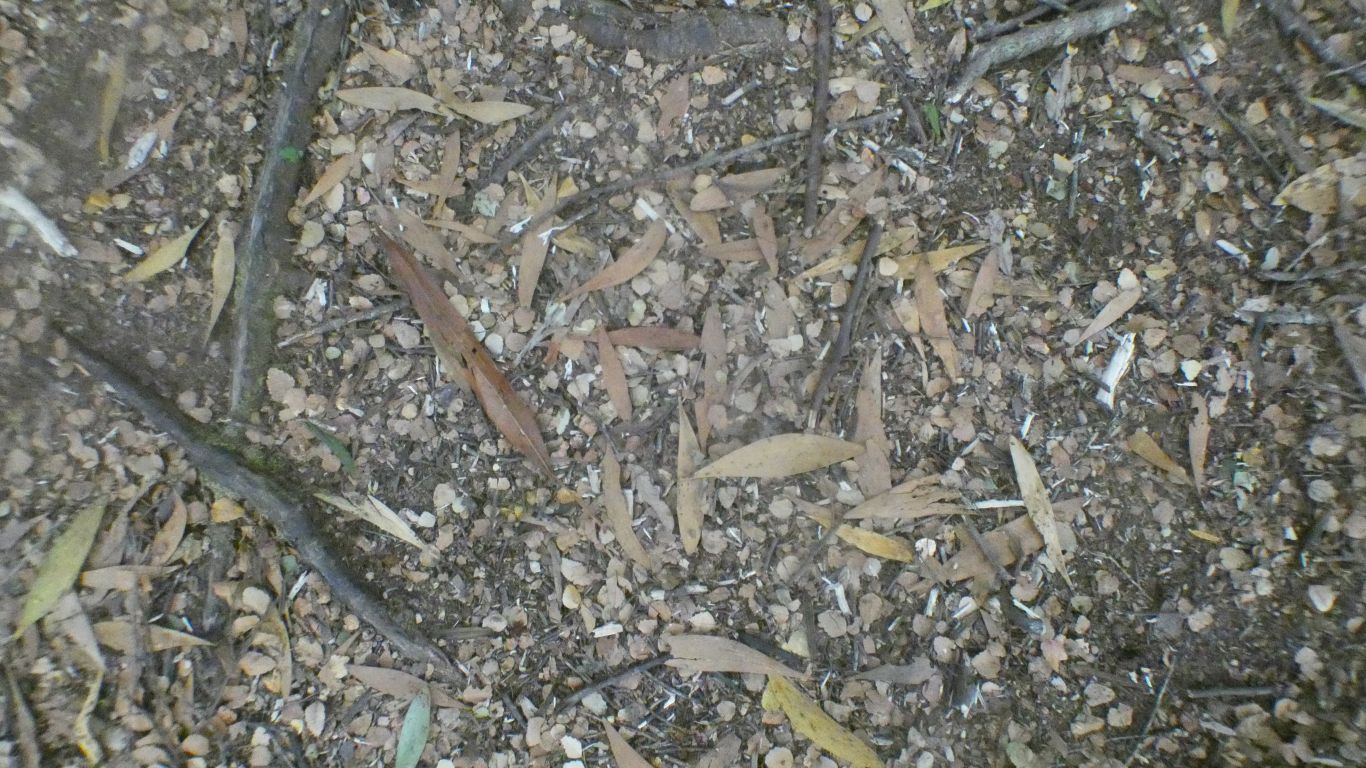
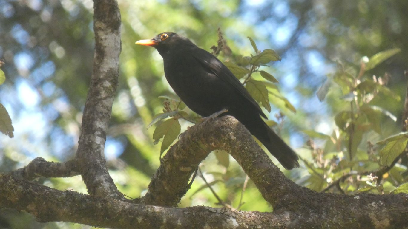
A mix of eucalypt and beech leaves.

     
  Turn left at the confluence of Whyte (from the left) and Pieman rivers.

It rained. We got wet.

     
  From the ferry as we cross.
     
  A camp in a small clearing. Rain overnight.

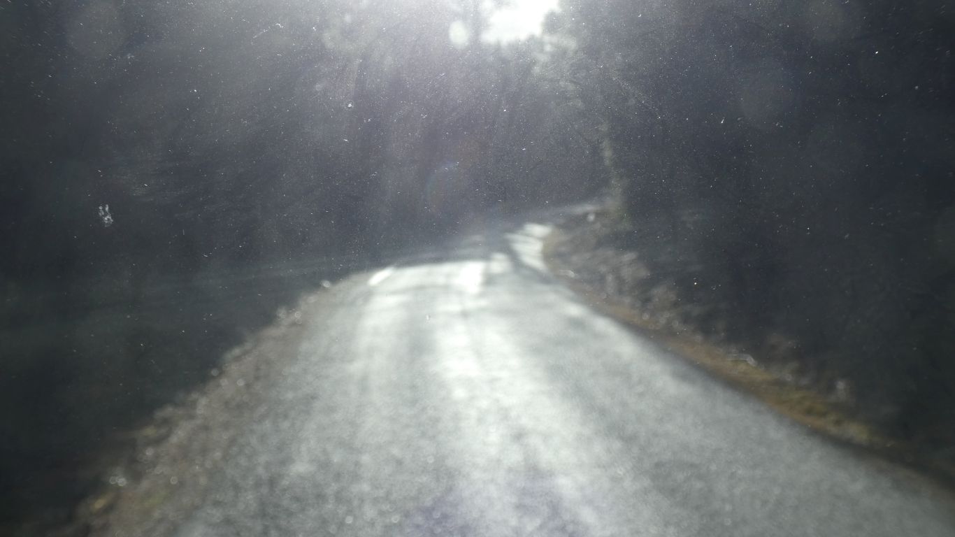
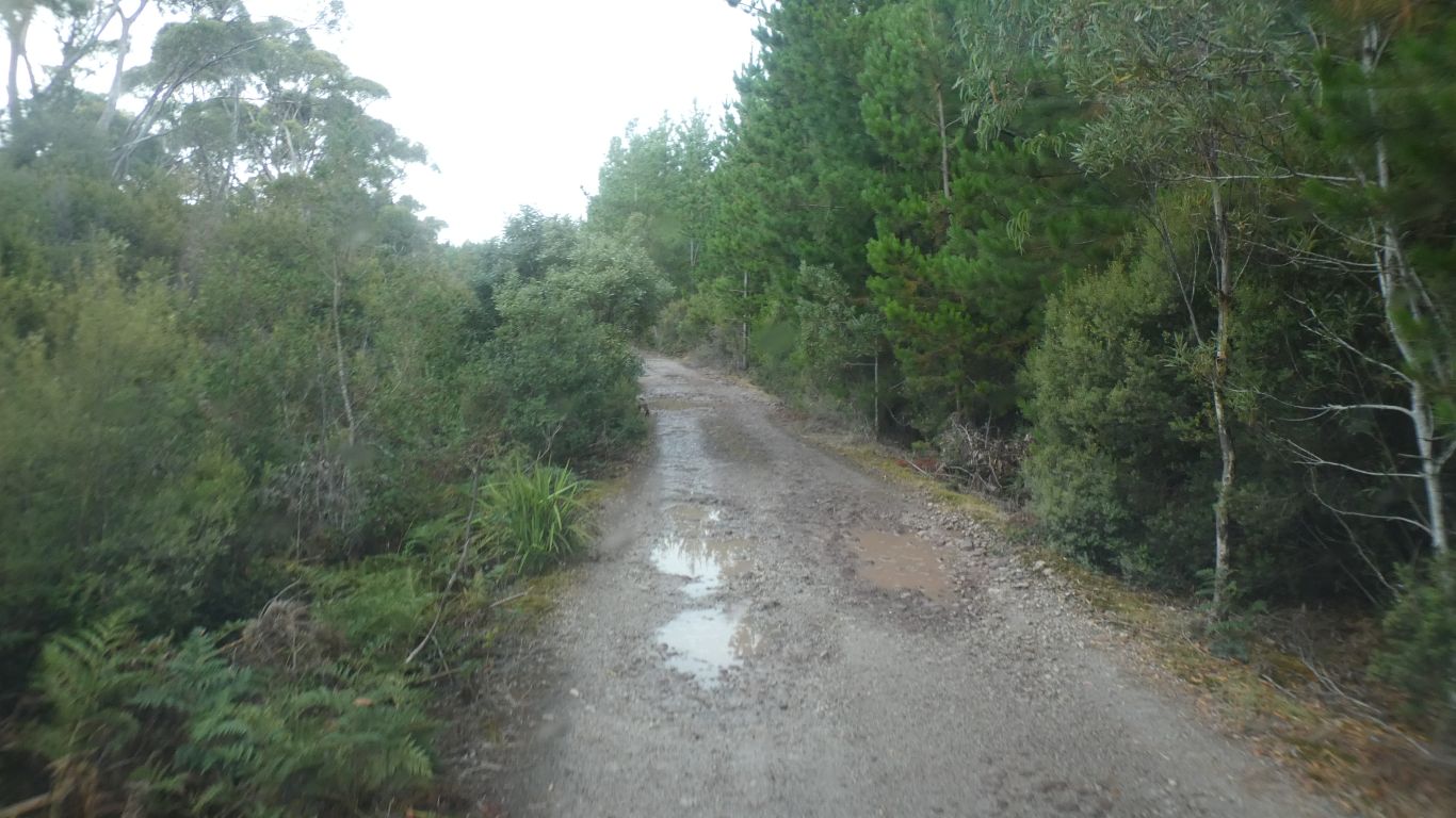
Next morning mist rising off the road.
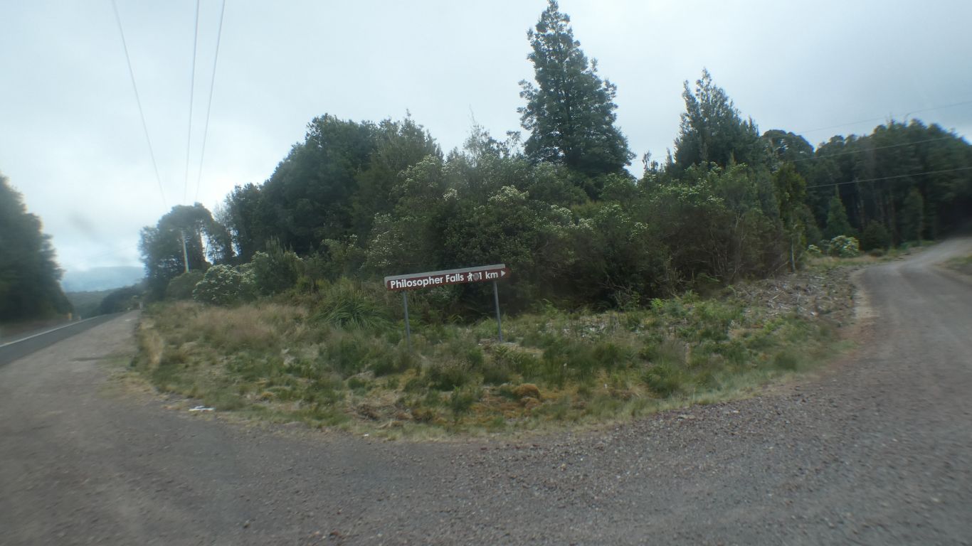
     
  The windfarm above Granville Harbour.

A brief detour.

     
  If we hadn't something booked we would have stopped.
     
  Through Zeehan. Silver City.

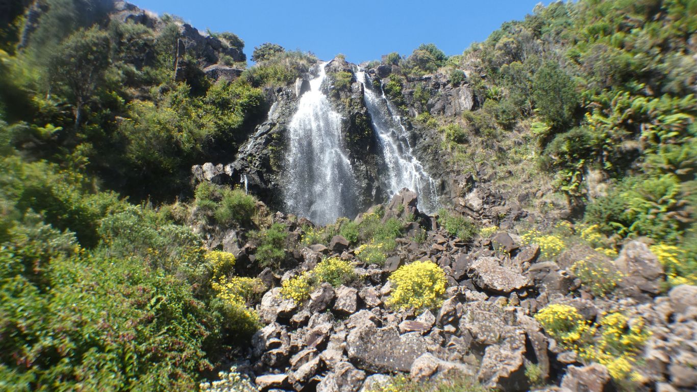
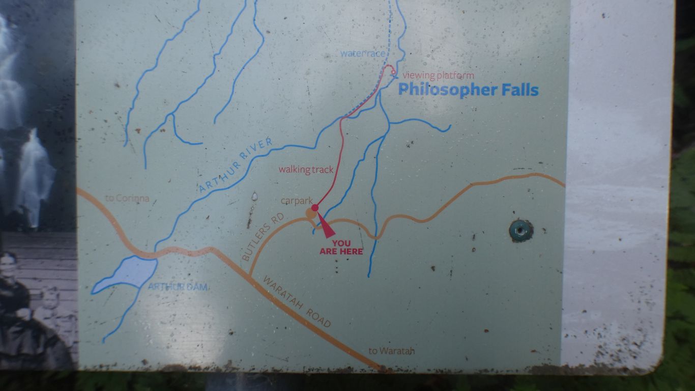
We make a note to visit Spray Tunnel.

     
  From the lookout before we descend to the coast, and Strahan.
     
  The coast road a bit disappointing. Driving through plantations, with no view of the ocean.

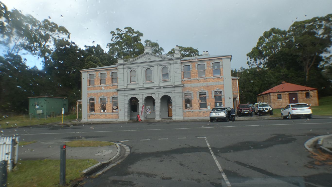
This is the post office in Strahan. We will visit Parks and Wildlife, the right hand part of the building, tomorrow at 8am. For Mt McCall Track permit and key.

     
  South of Strahan, through Swan Basin State Forest.
     
  We find a camp, overlooking MacQuarie Harbour. And watch the traffic.

The first four campsites along the track were occupied. We had a look at the last. Not really inviting until we walked another 20m. "Wow".

     
  What a difference a view makes ...

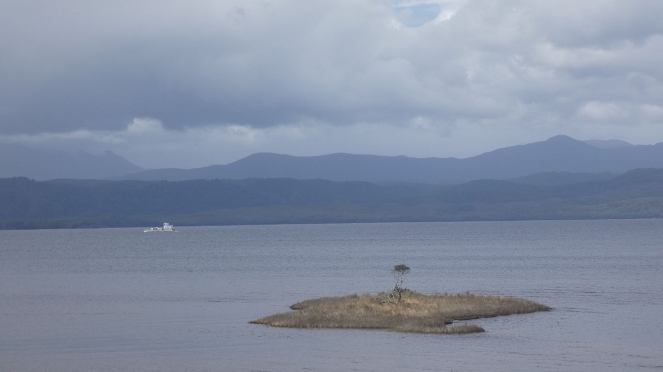
We watch the weather changing over the mountains.

     
  Prime real estate. Someone has removed a few trees. It wasn't us!

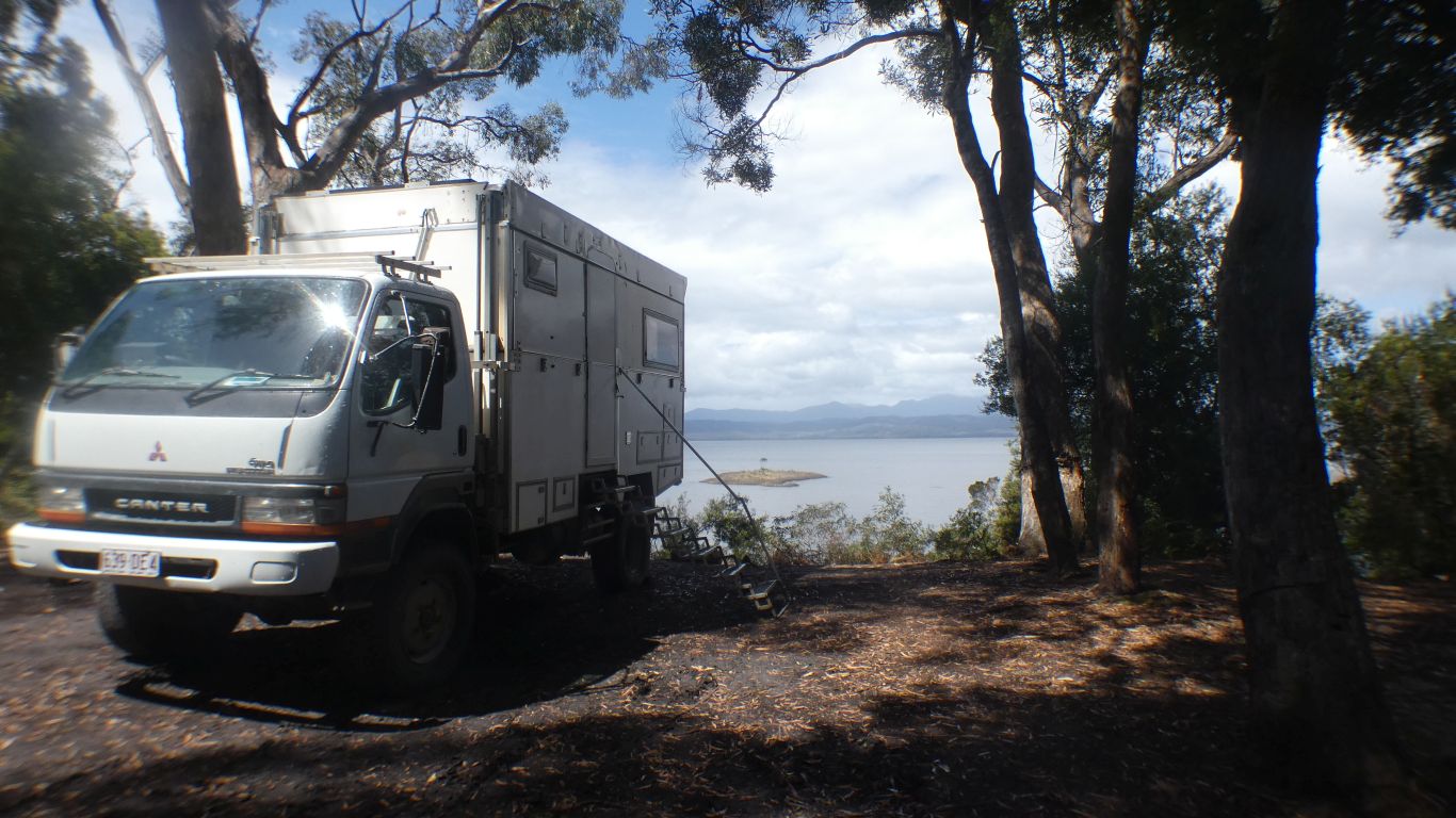
Somewhere we want to stop and relax.

A quick trip into town, to the Parks and Wildlife Office, for a permit and key for Mt McCall track.


Gateway
CommentsHome


Feel free to make a (useful!) comment.
Please enter this number so we know you are a real person   

and your name      and email address     
your email address will not be displayed. Nor will your ip address which is 216.73.216.91  
and enter your comment .....